Pulling location data from owntracks
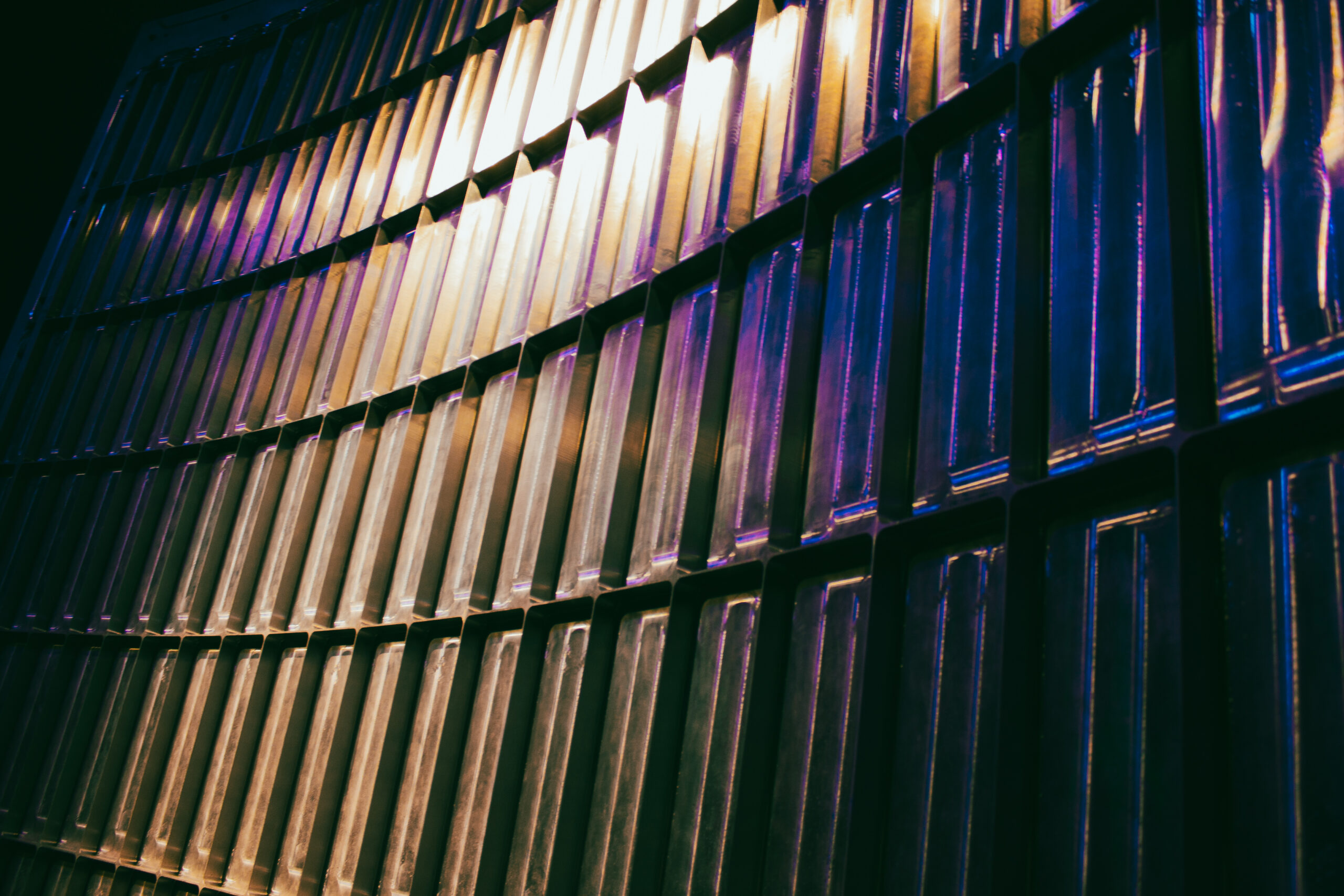
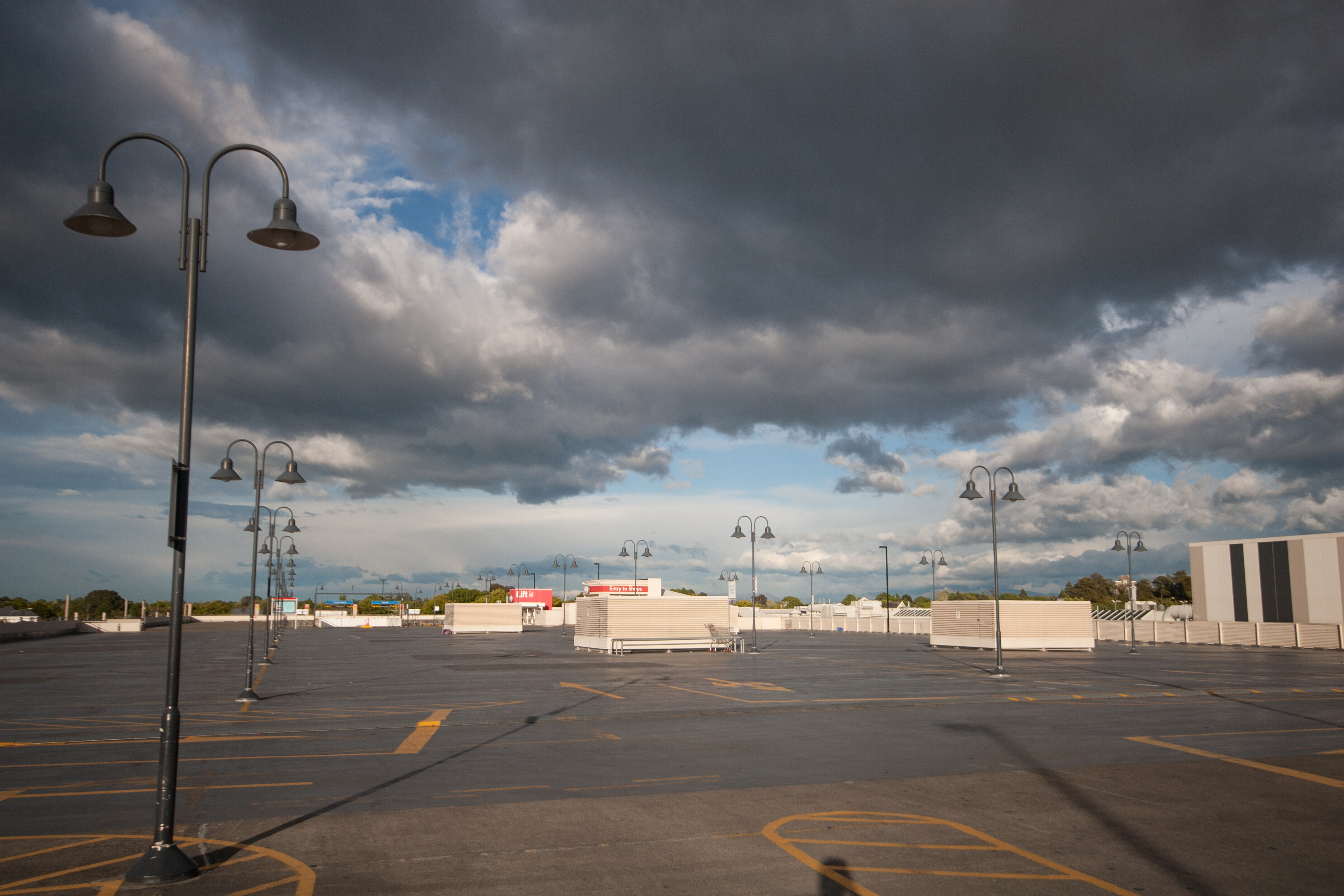
Automated lights are a waste of time
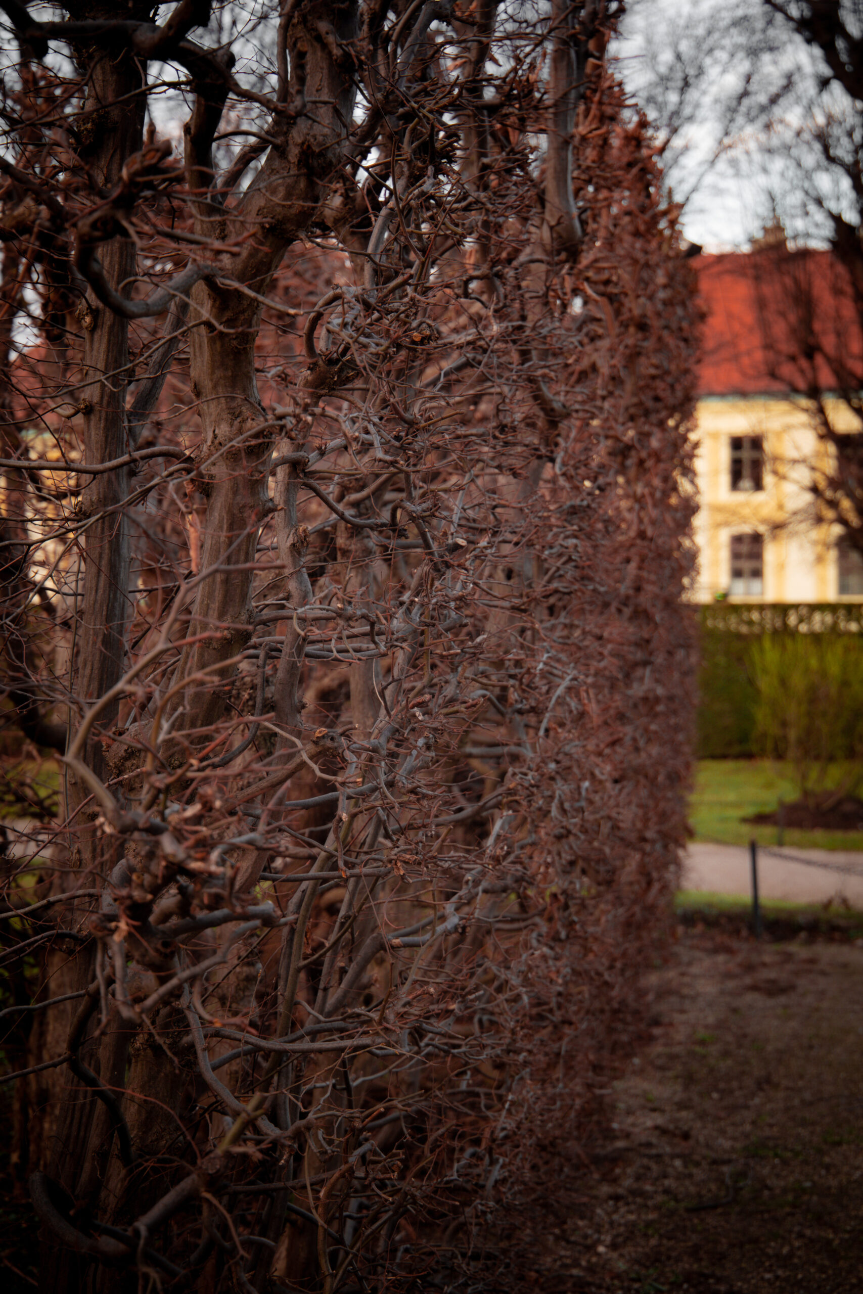
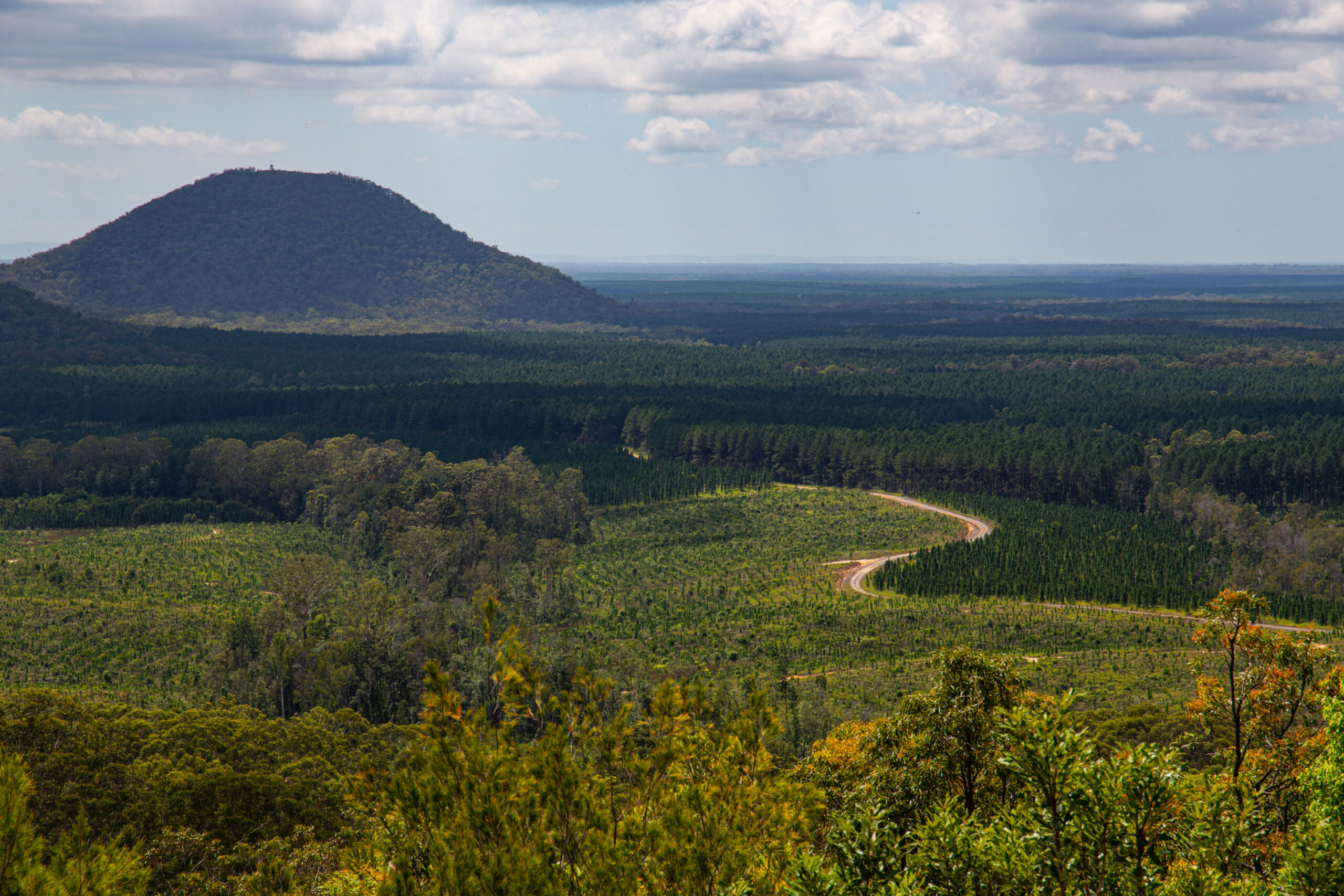
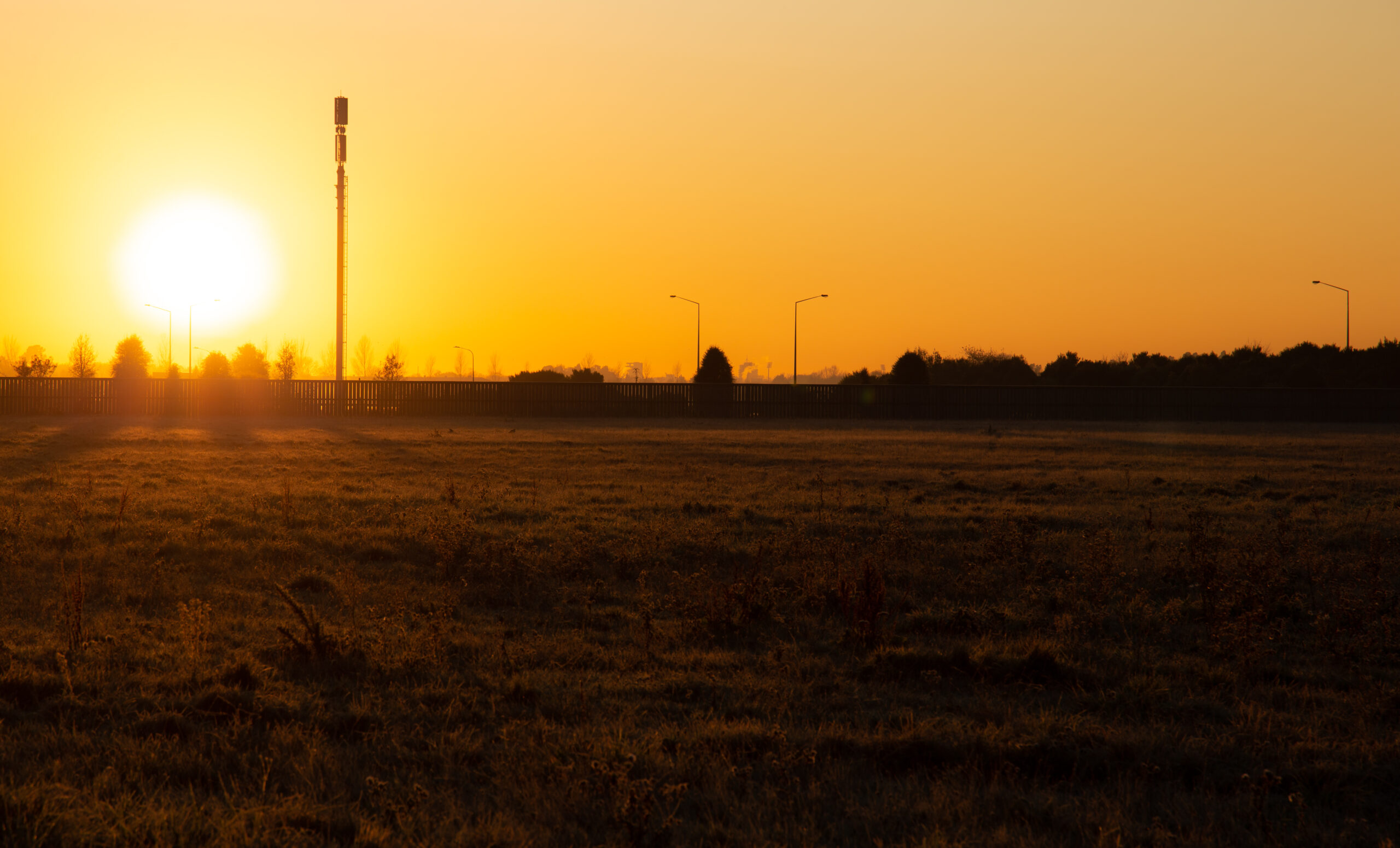
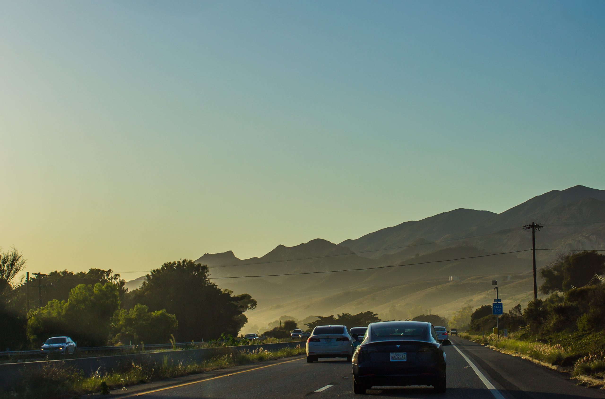
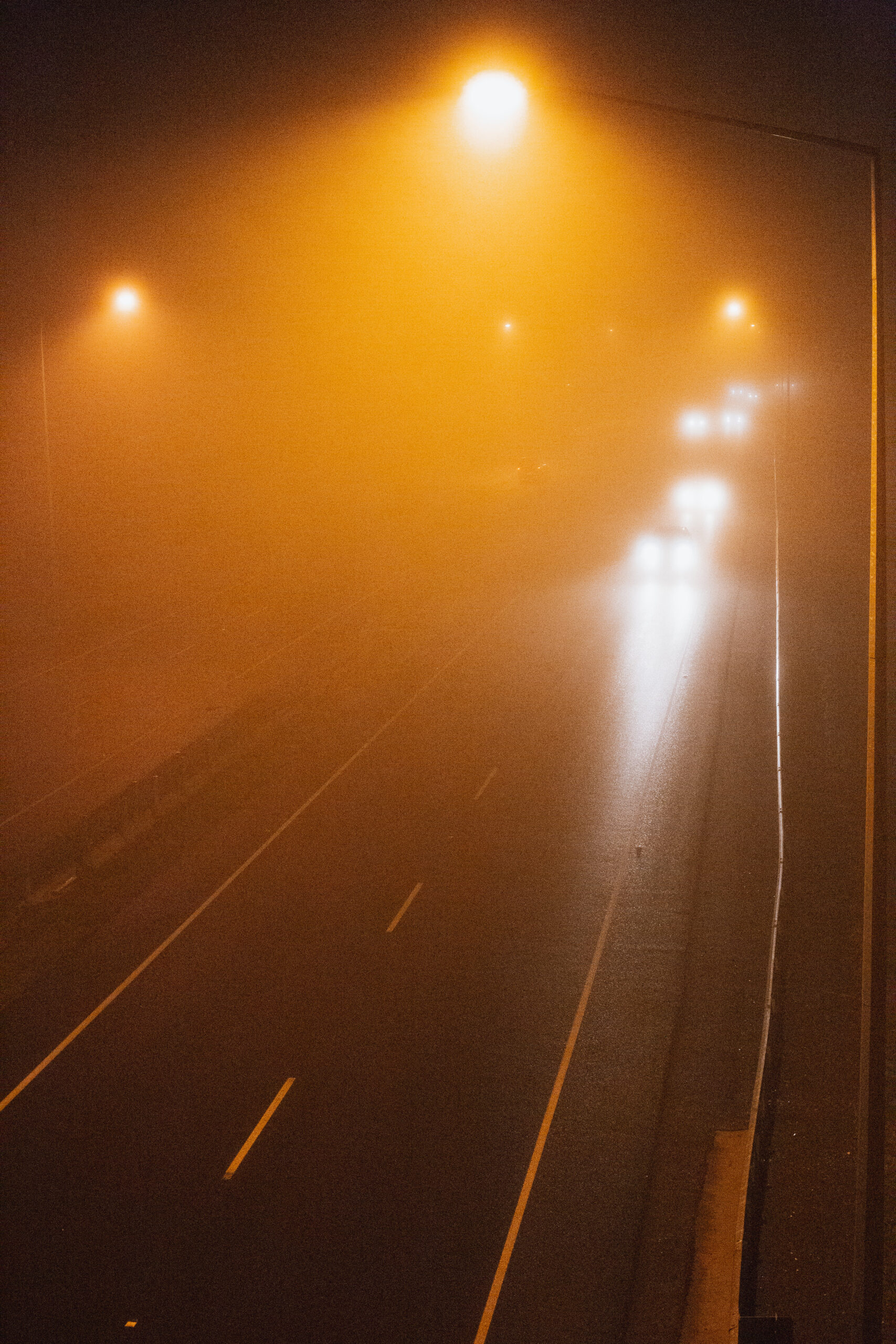
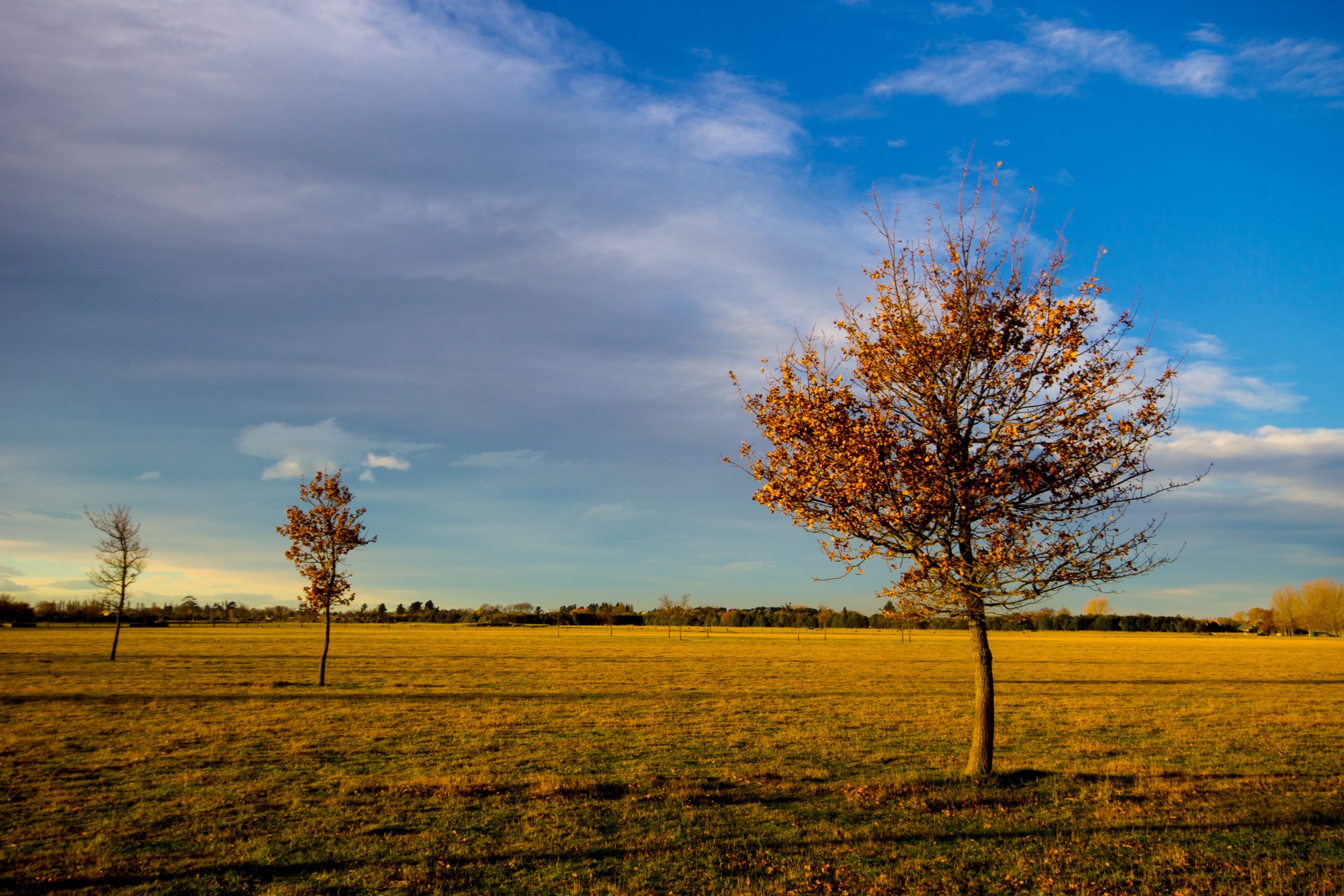
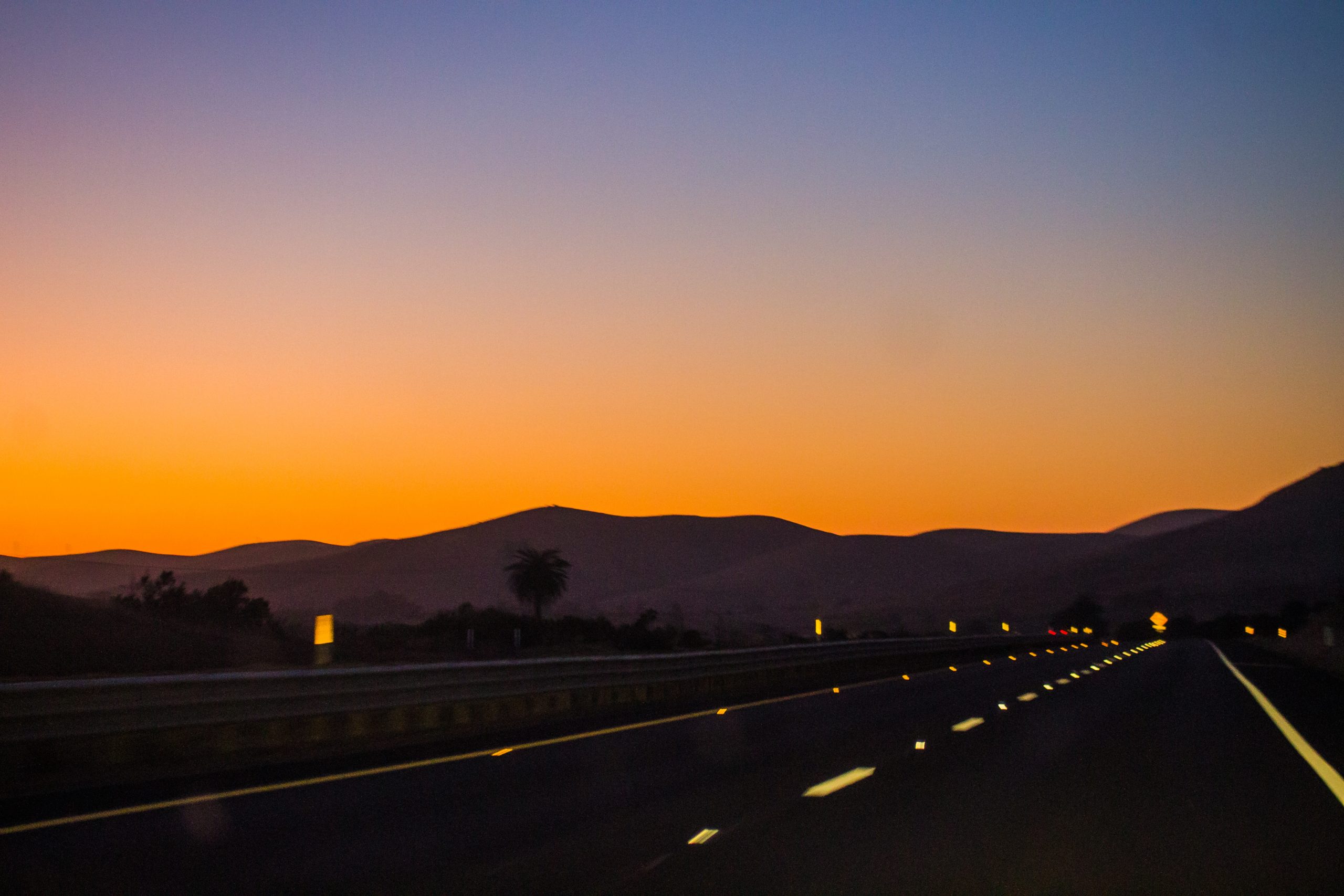
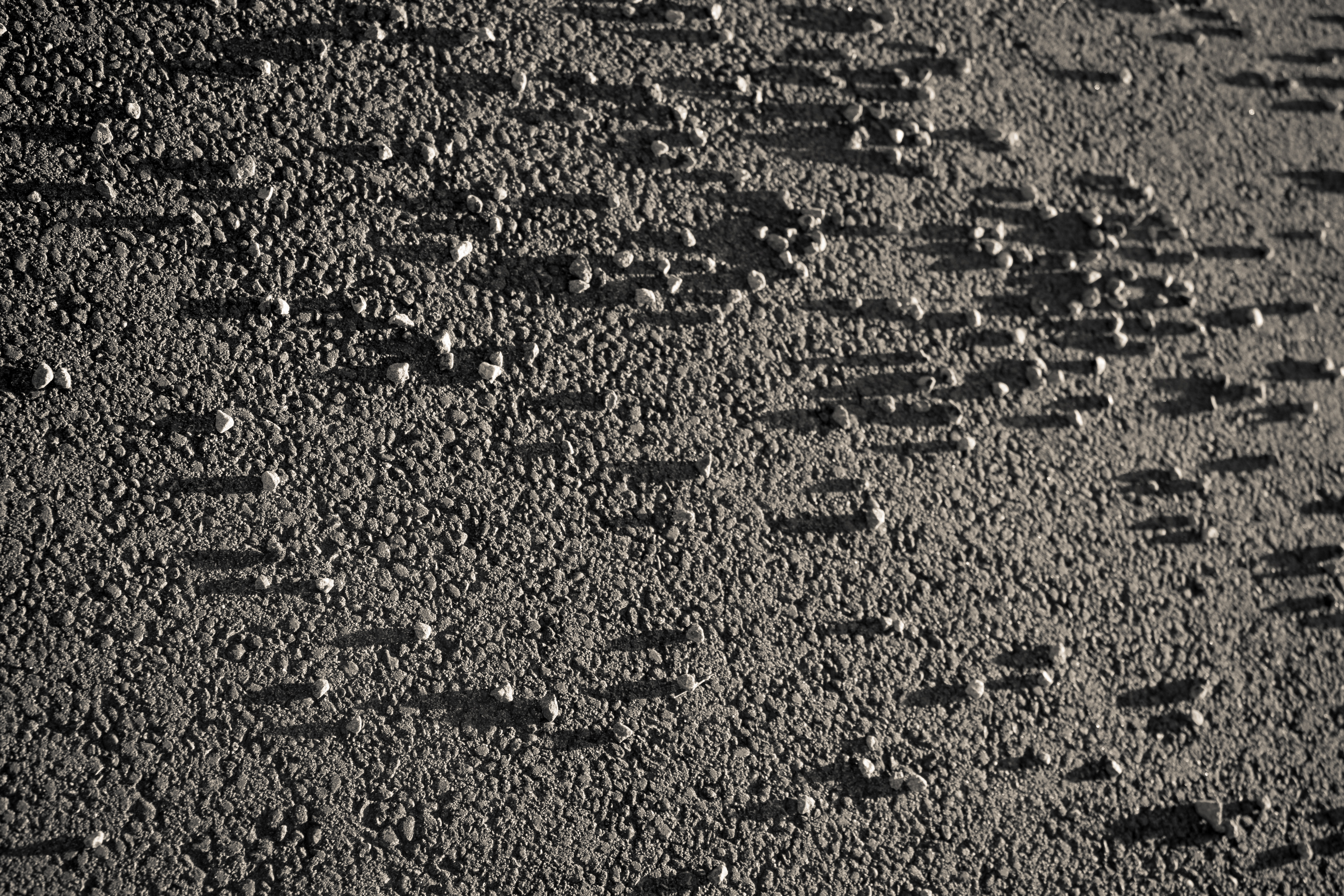
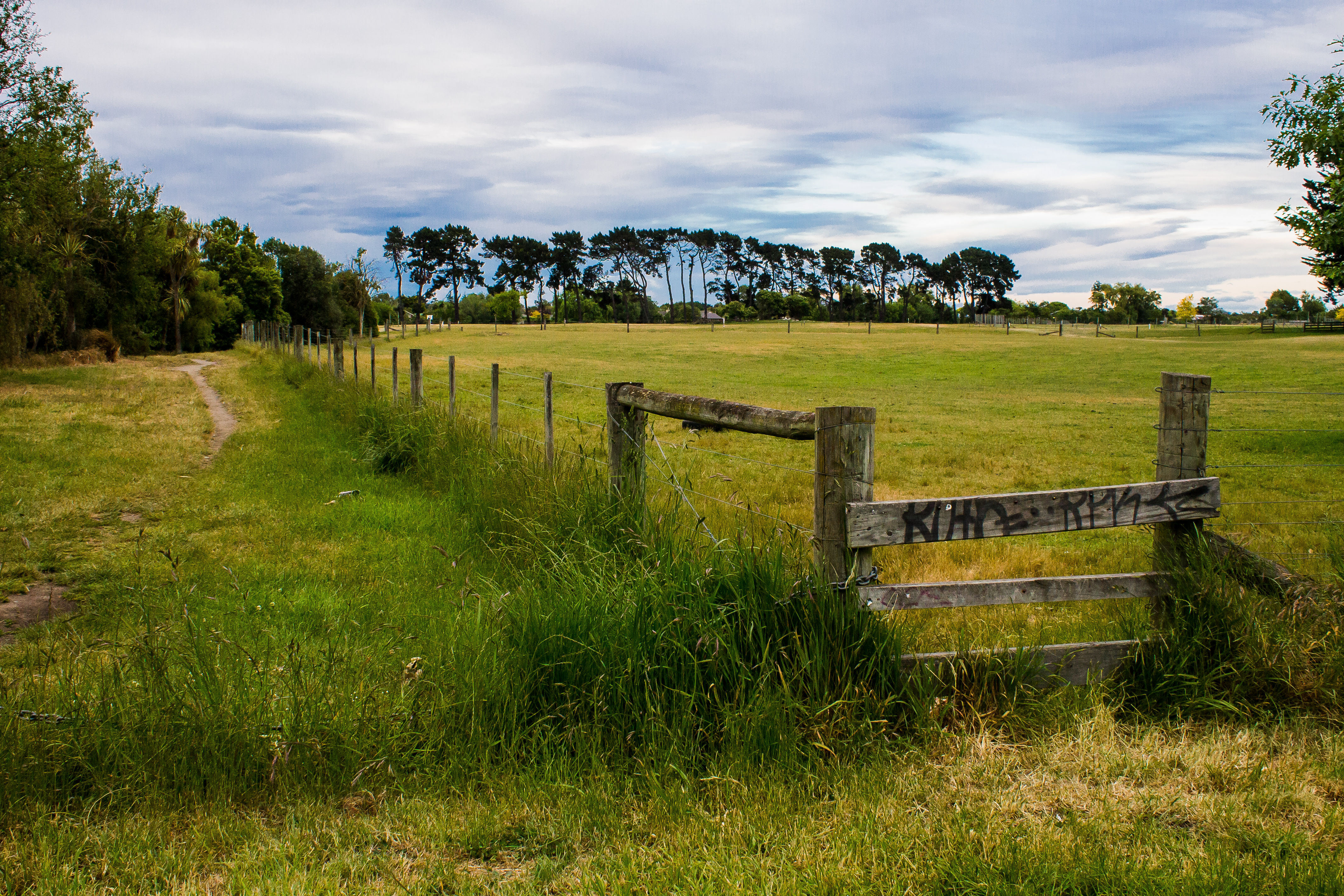
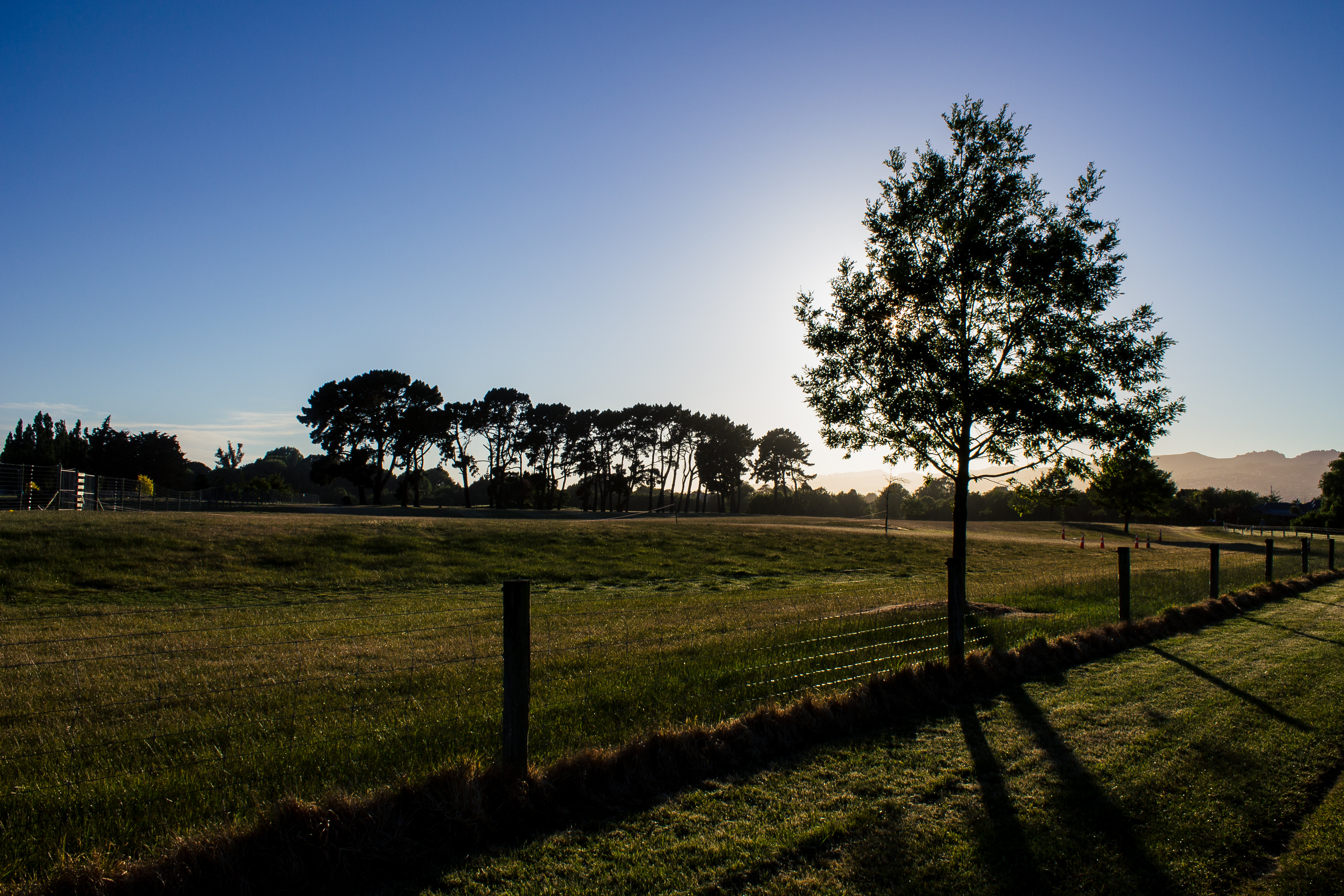
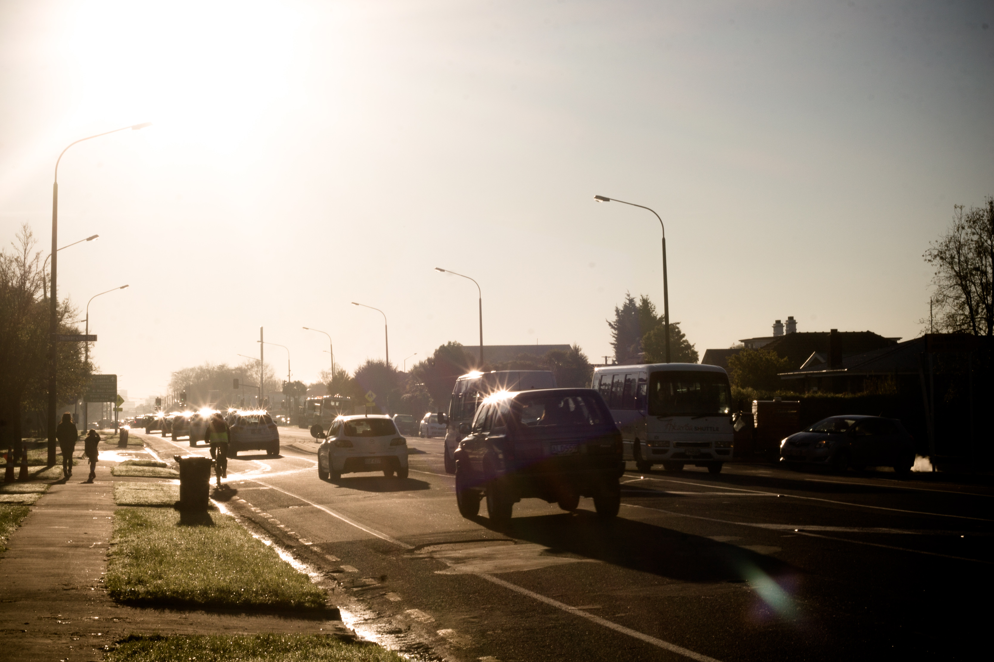
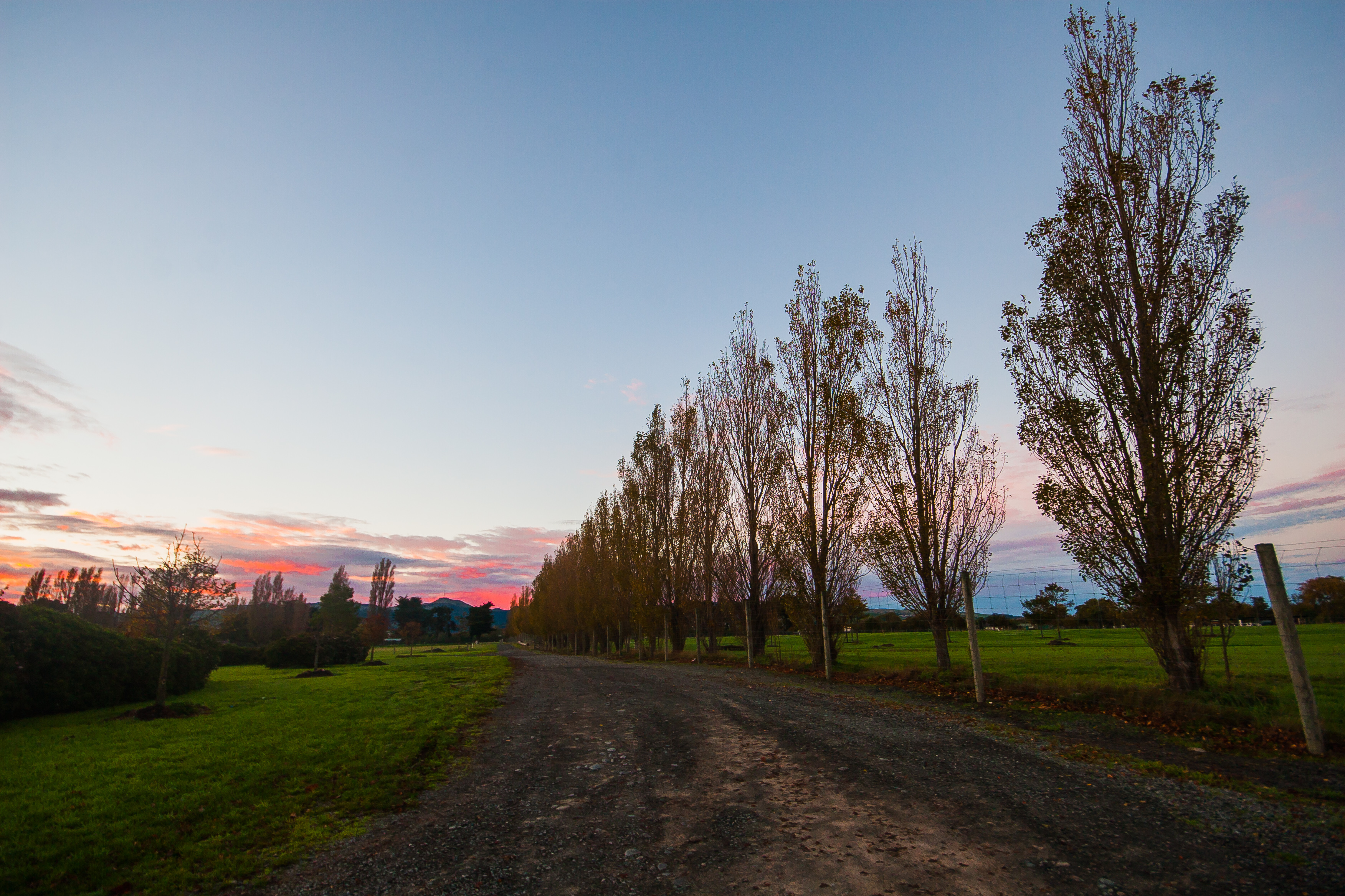
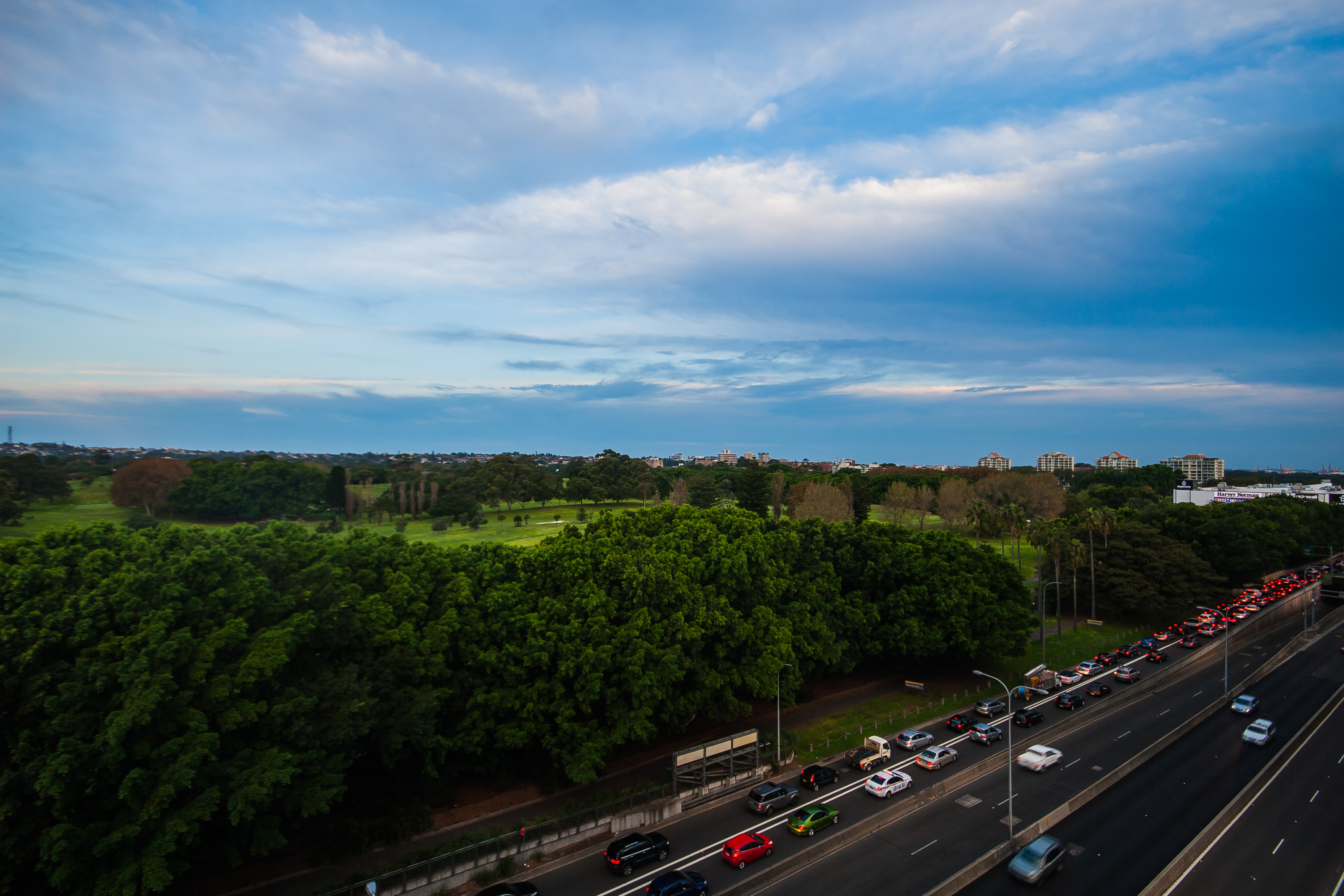
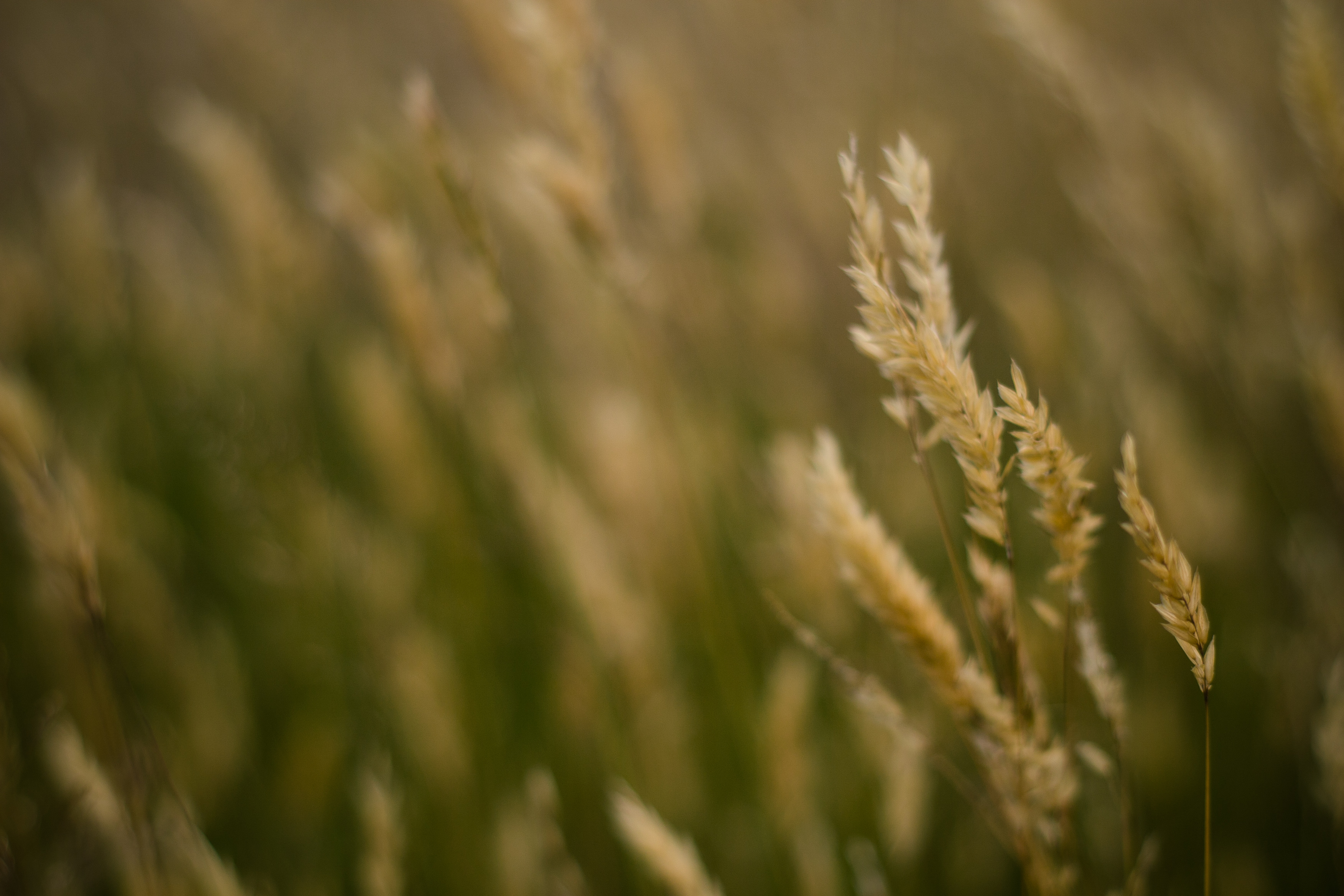
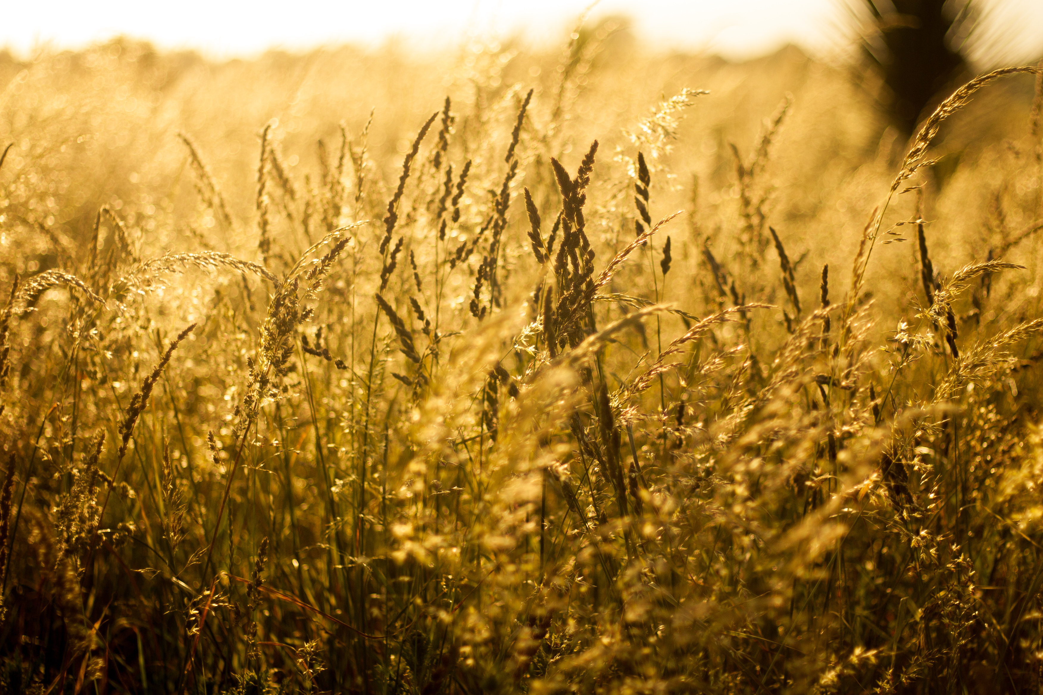
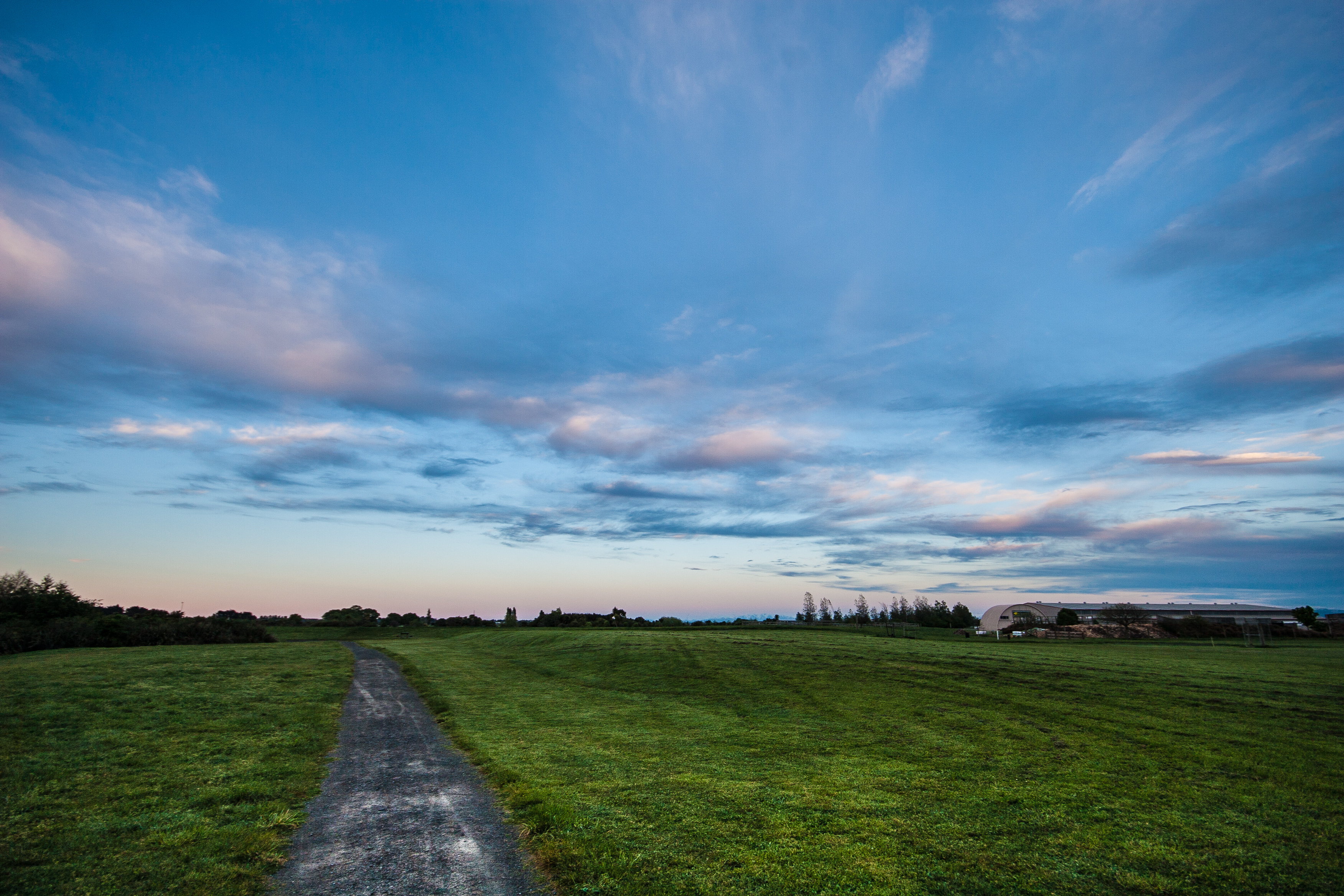
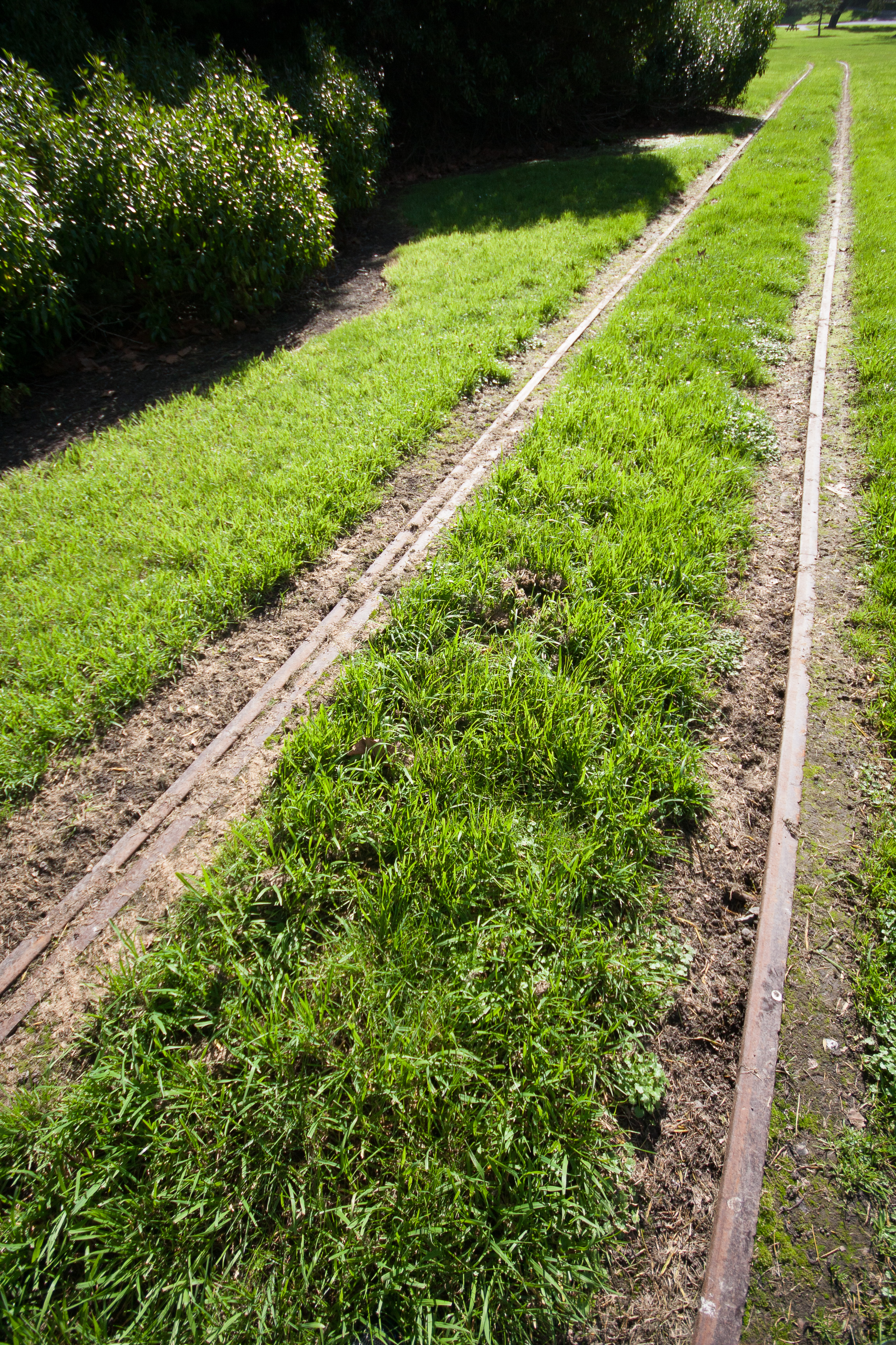
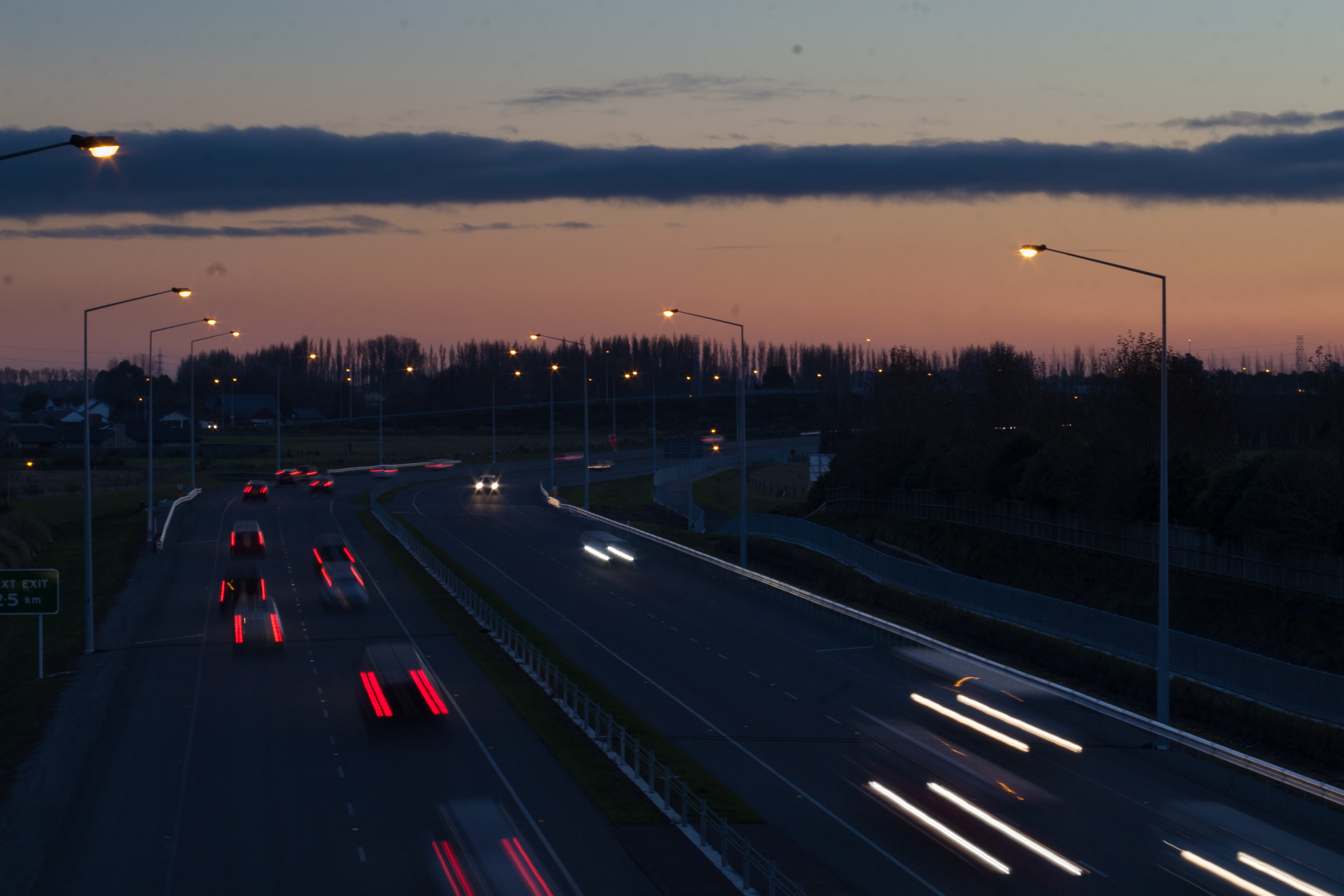
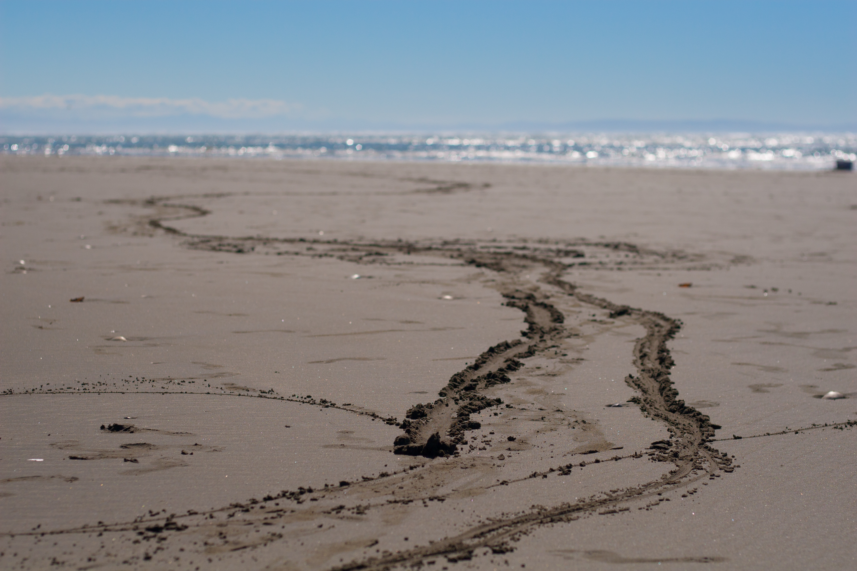
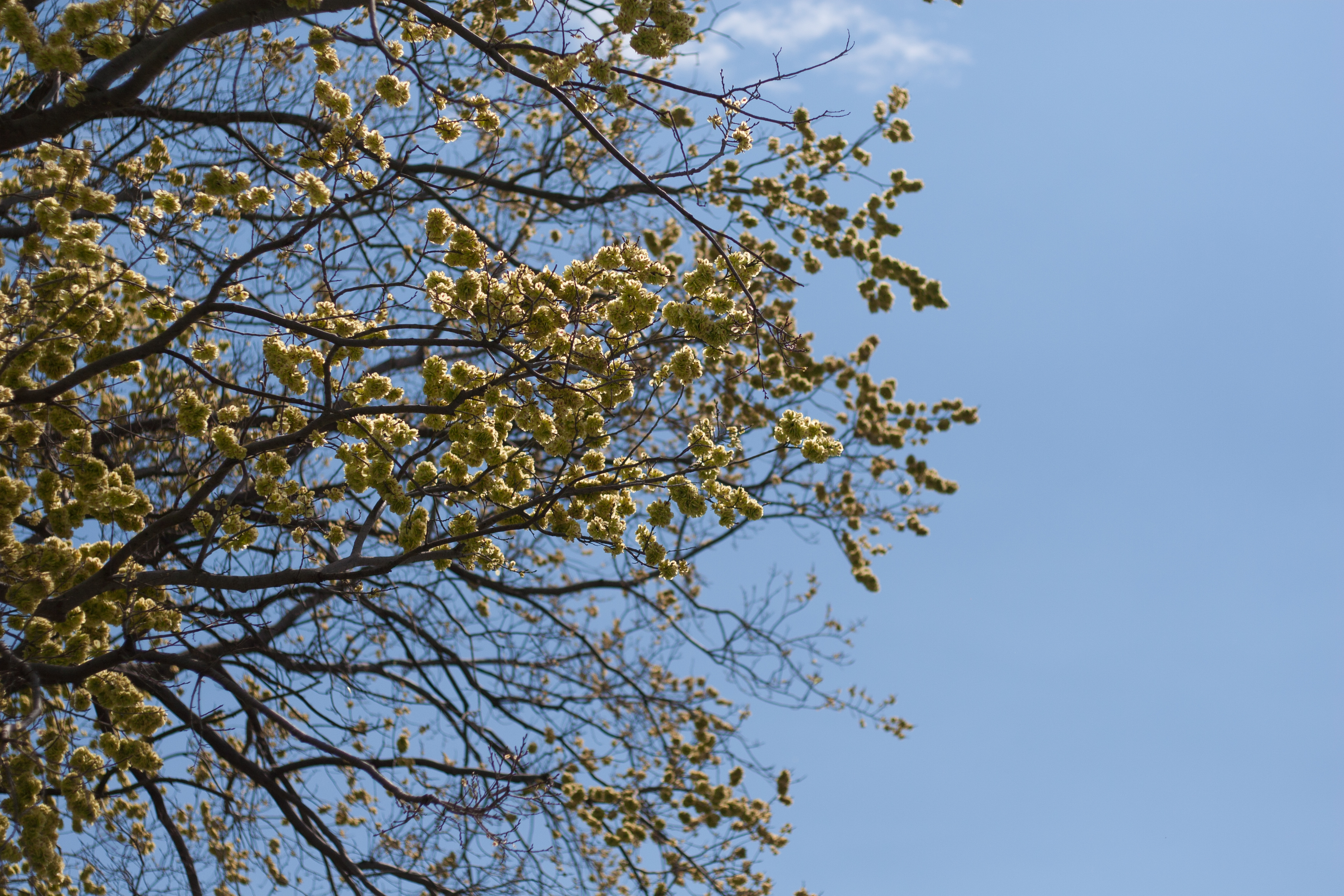
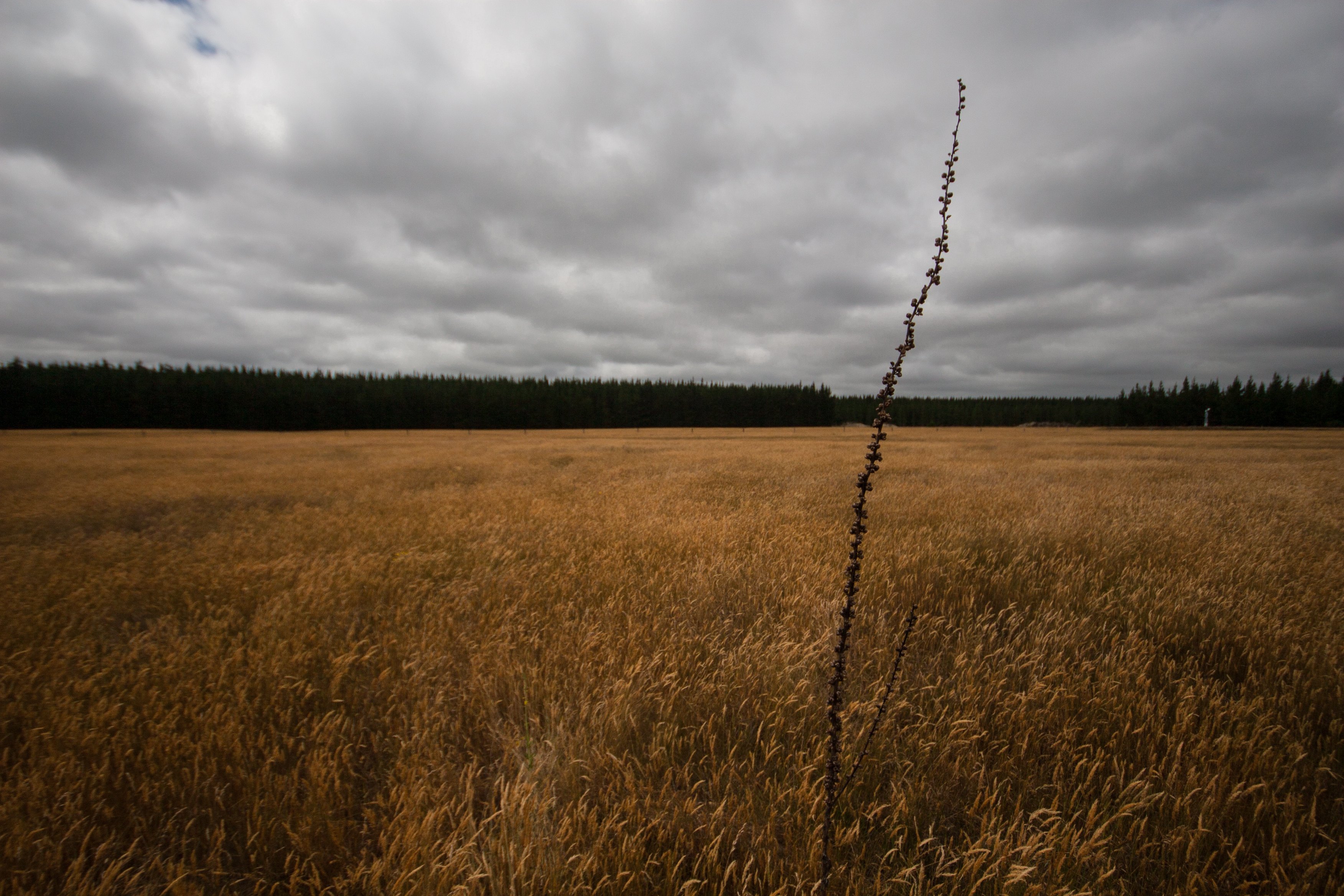
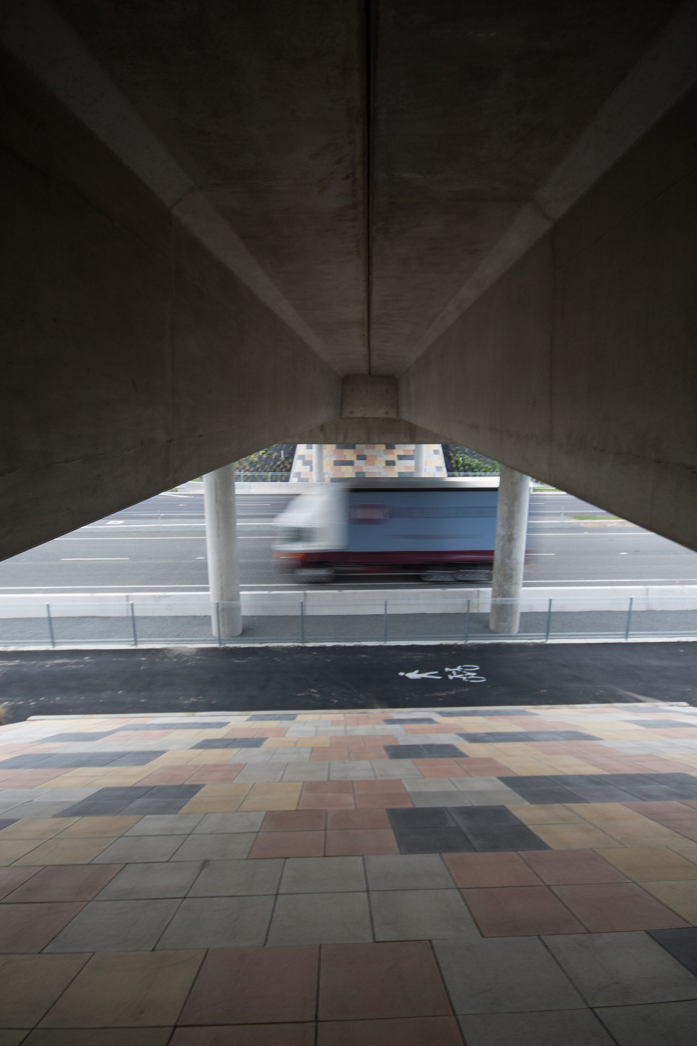
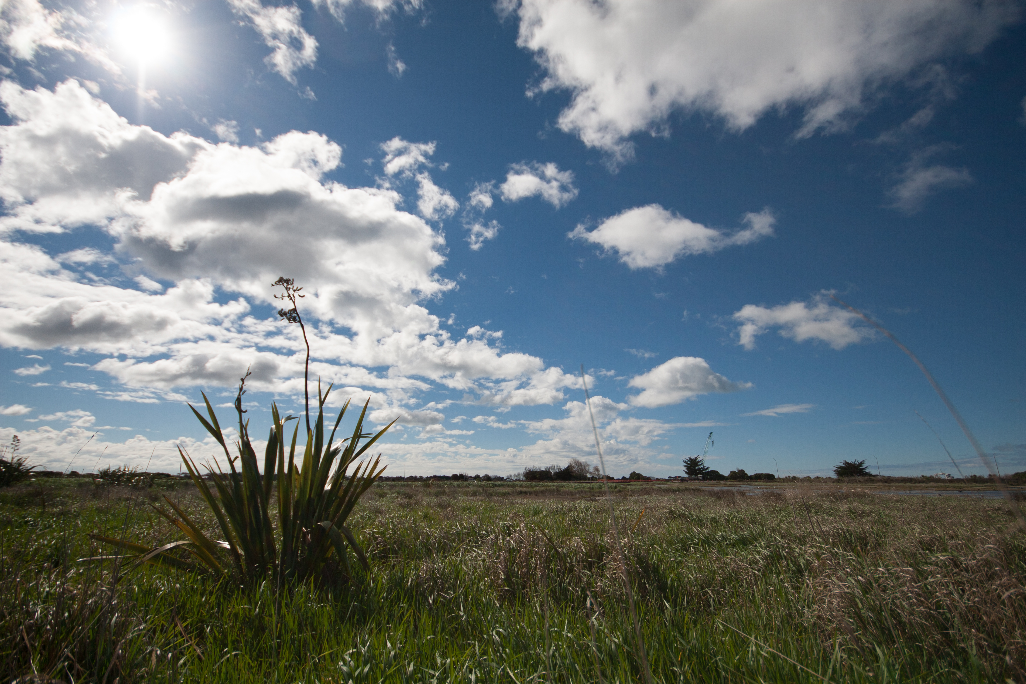
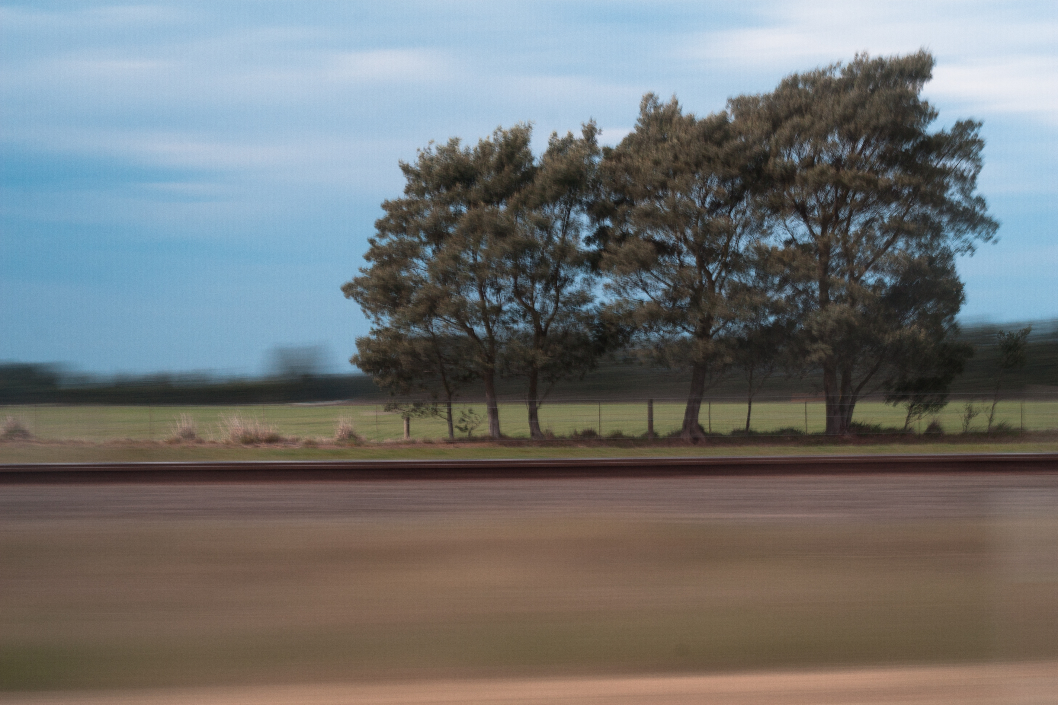
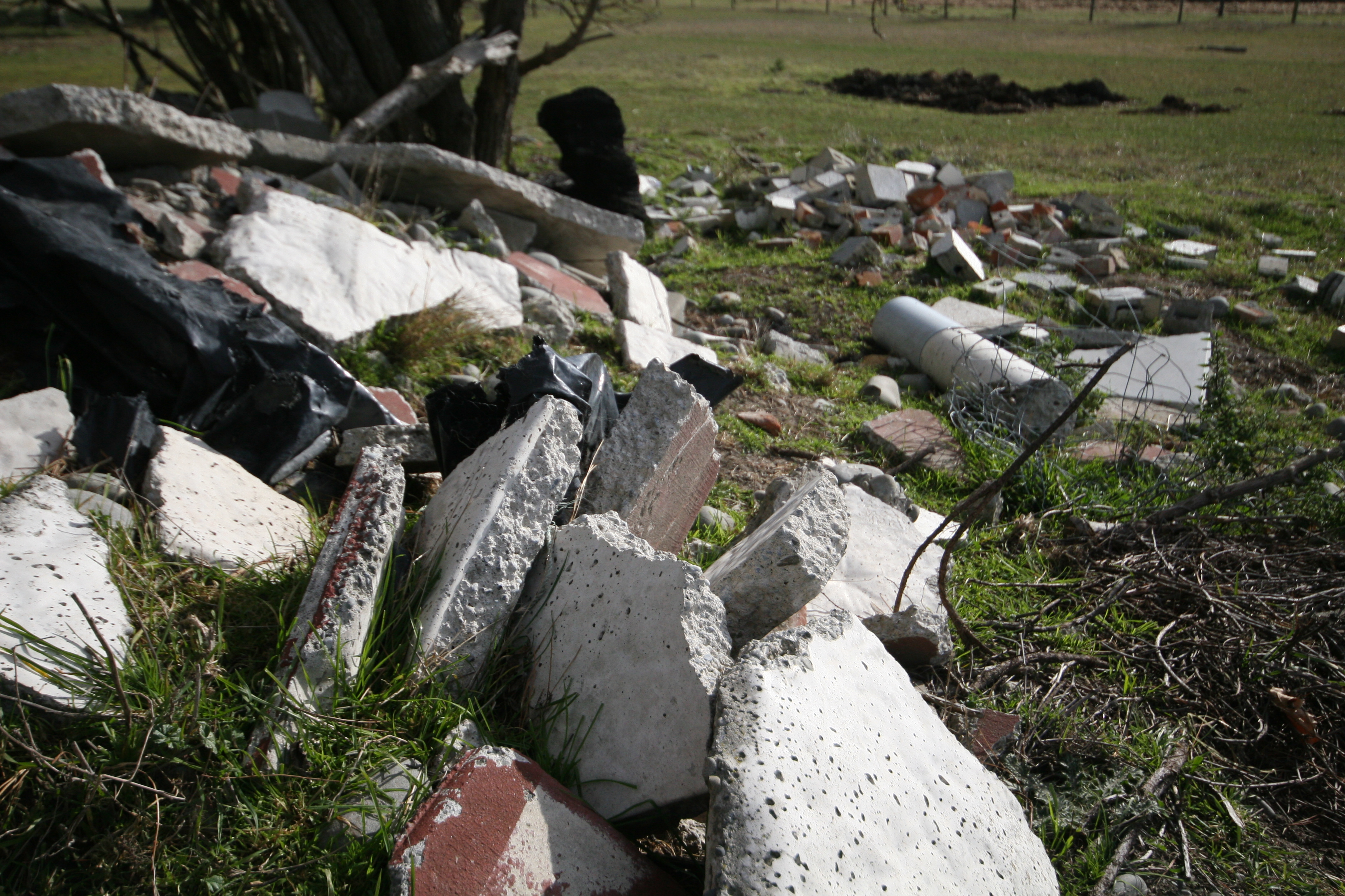
highway through the fields
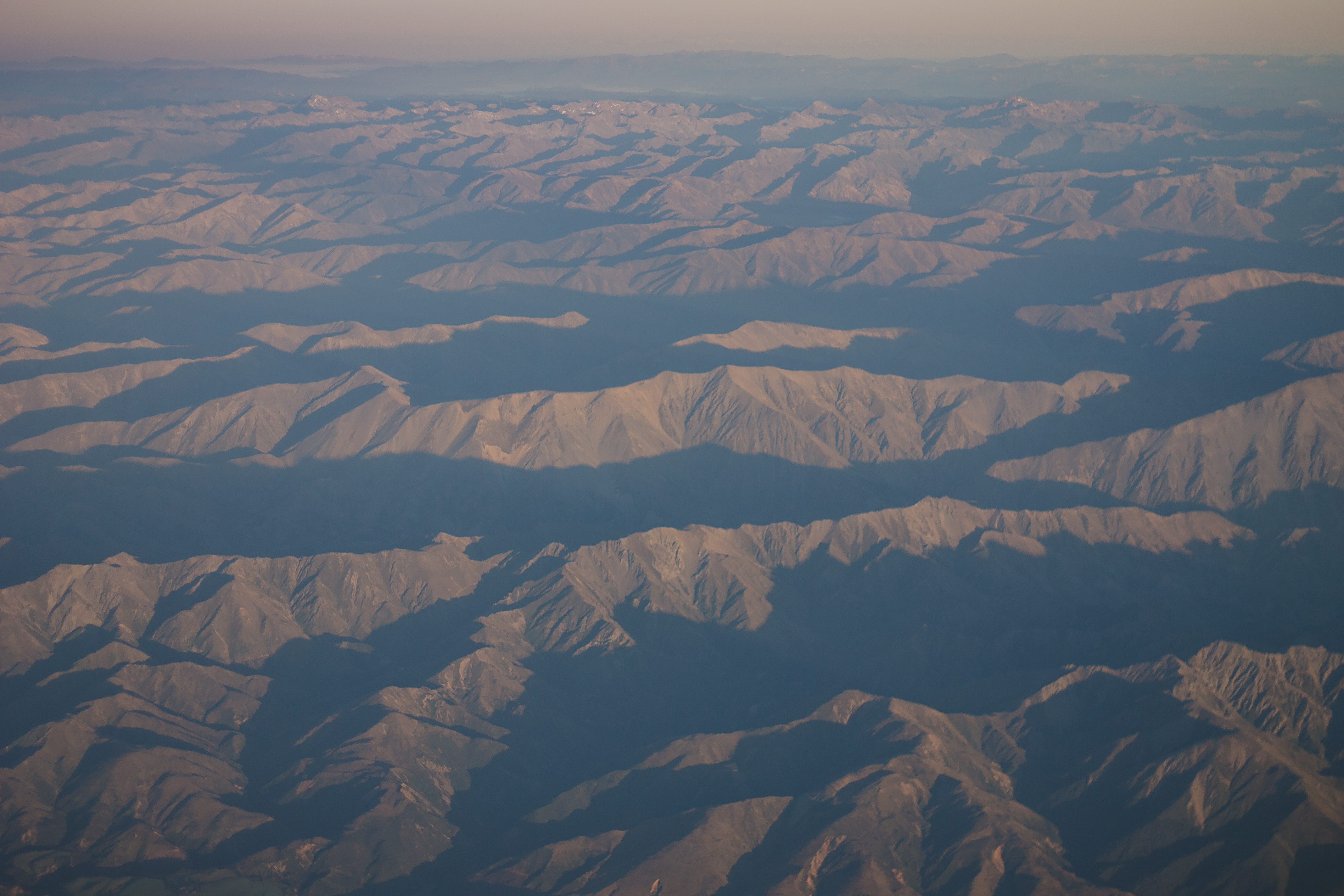
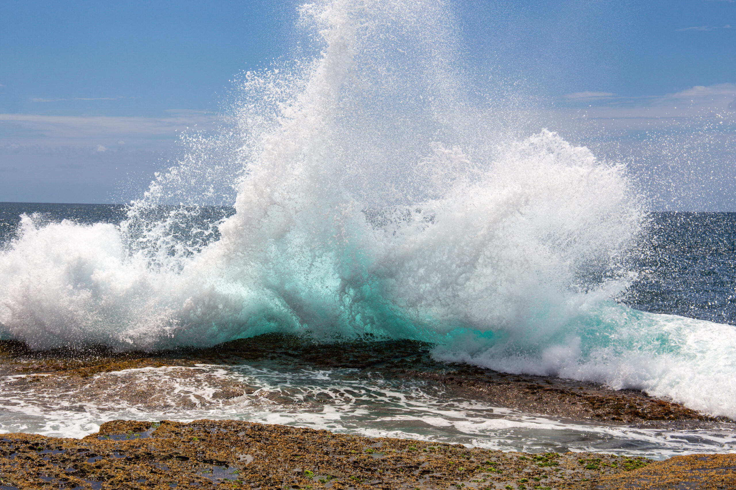
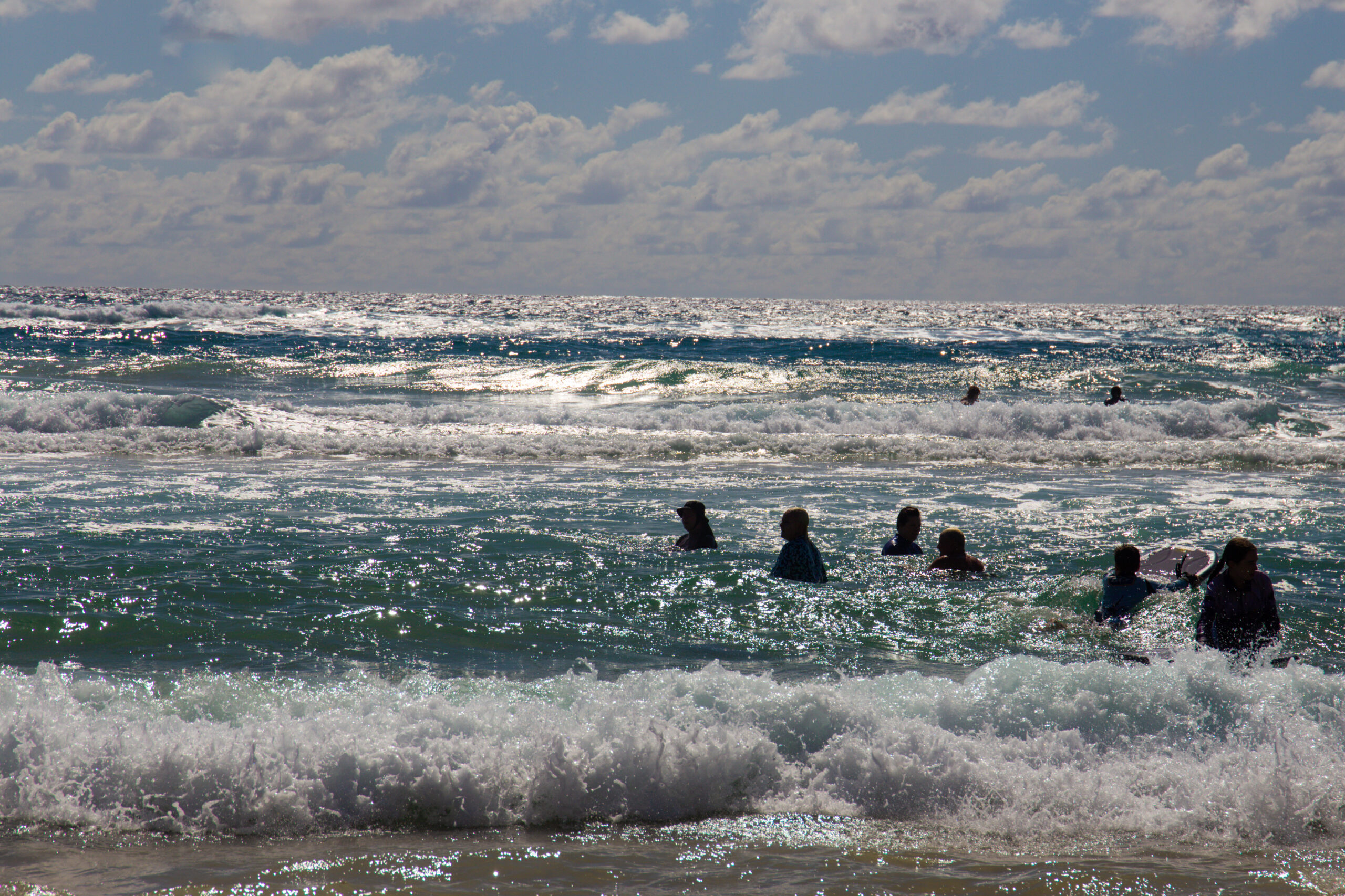
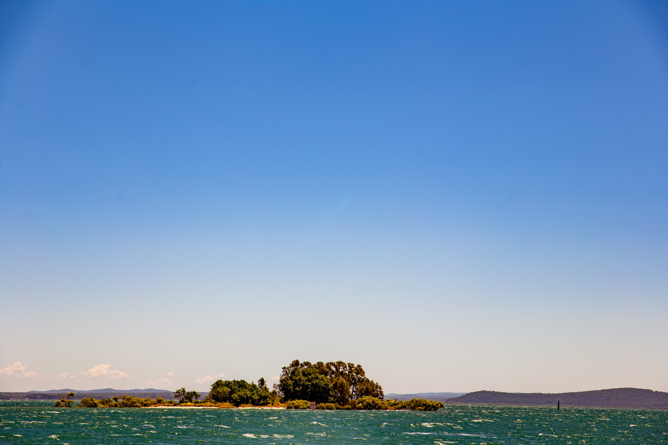
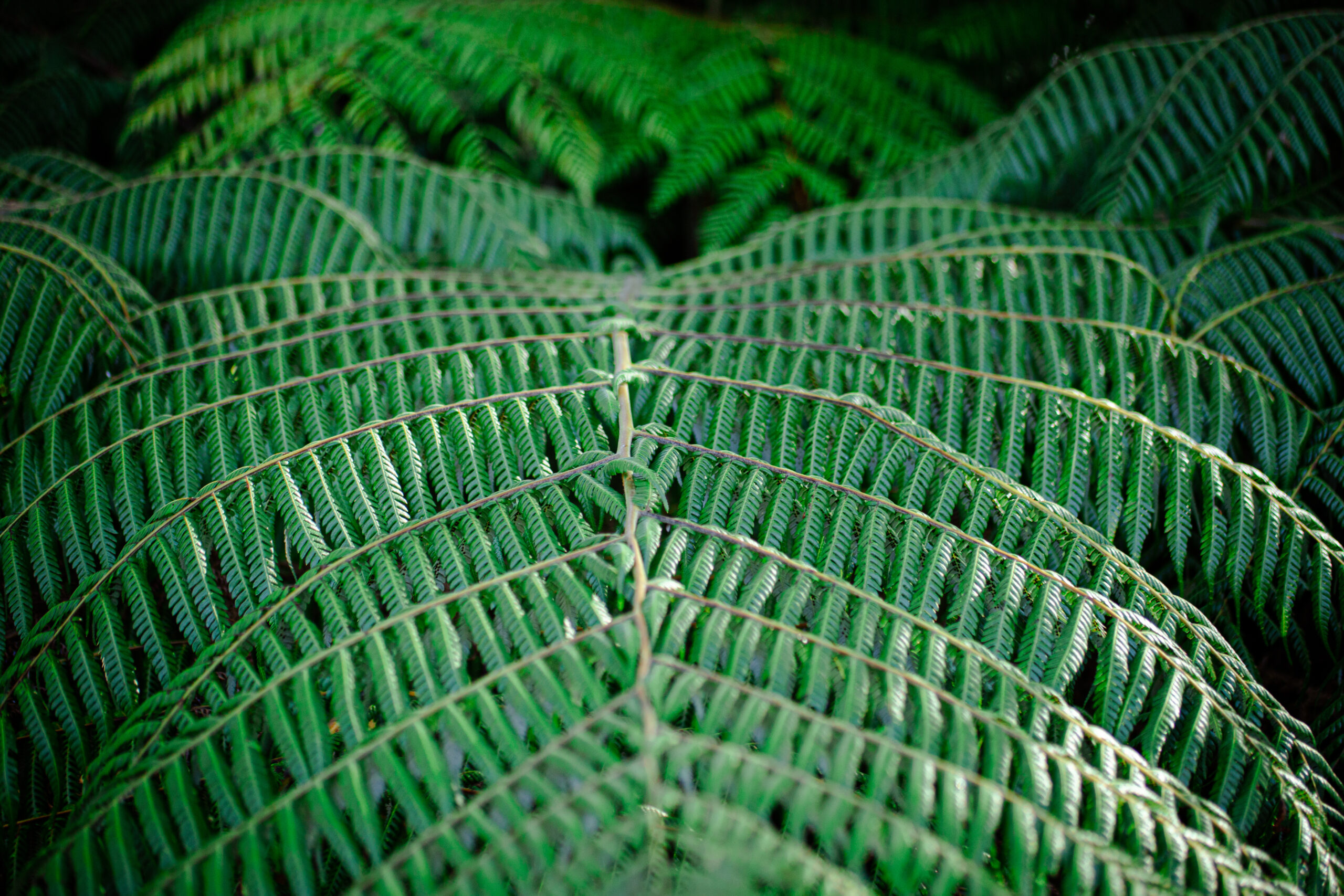
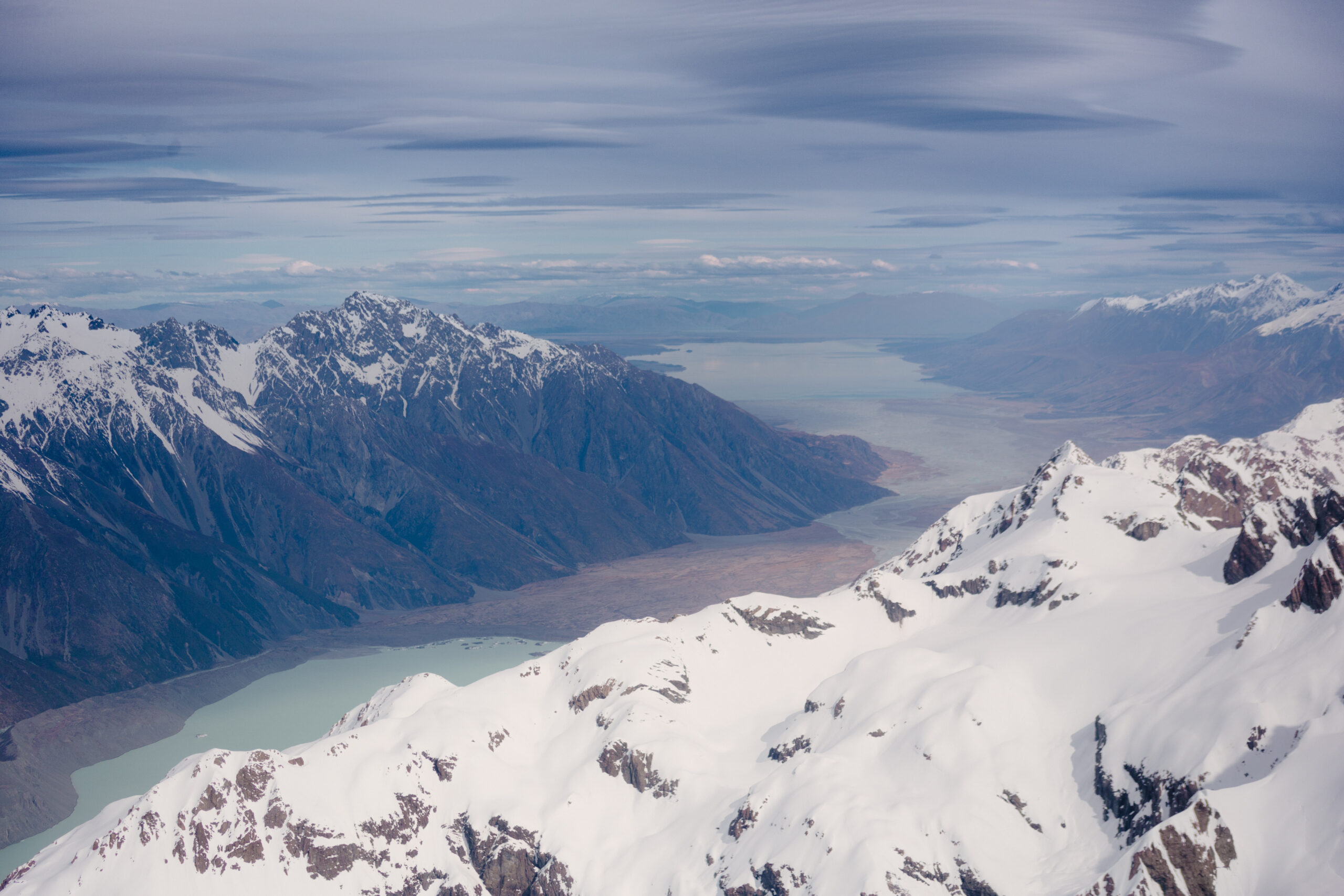
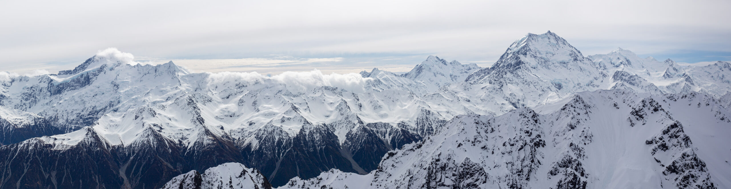
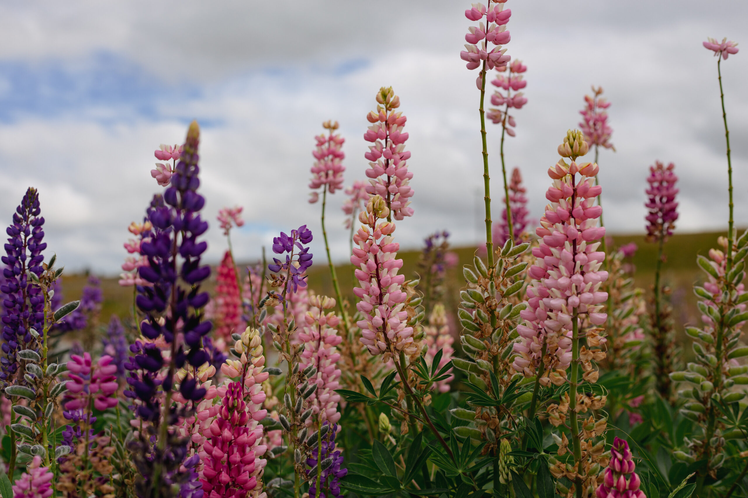
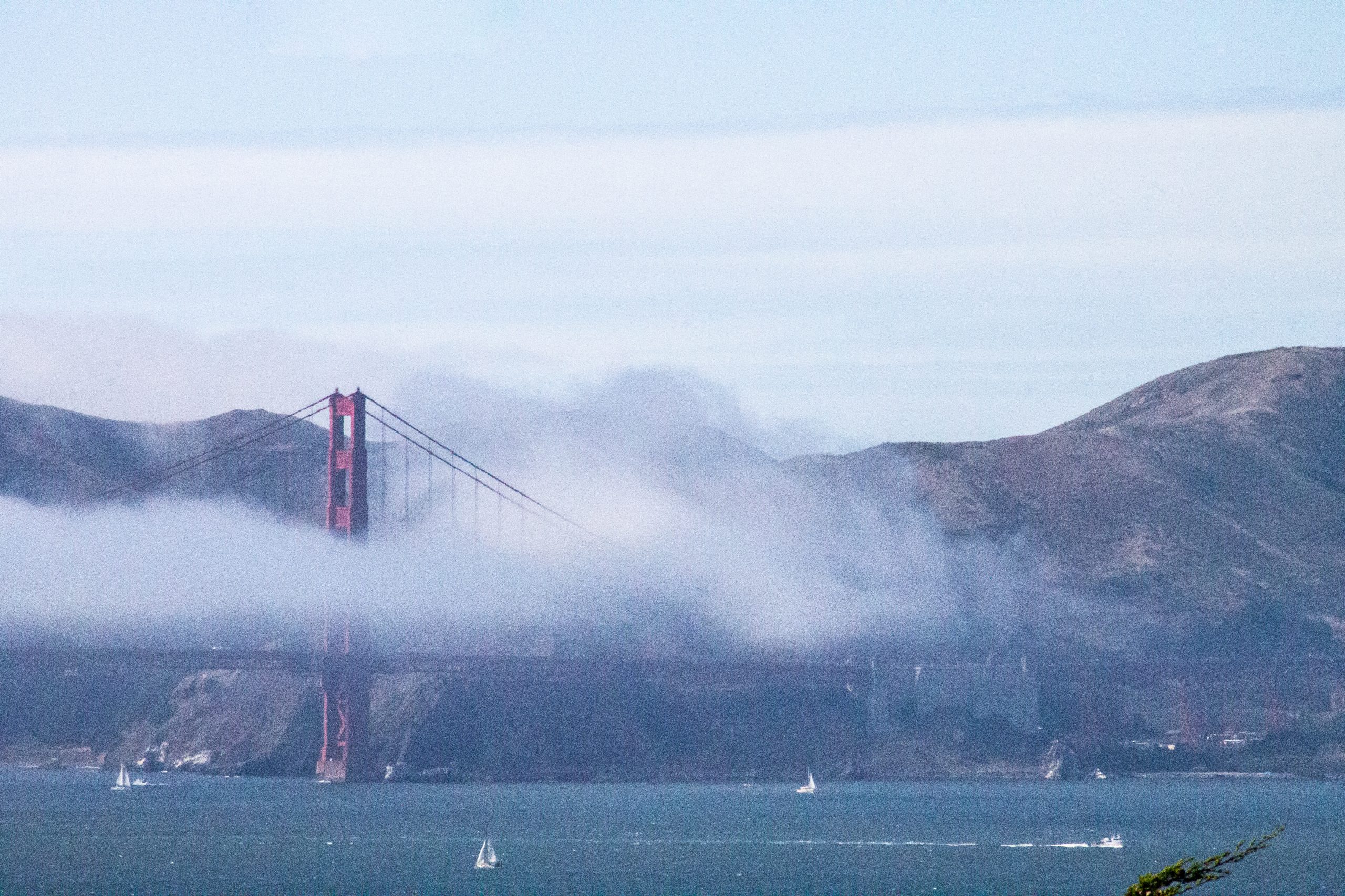
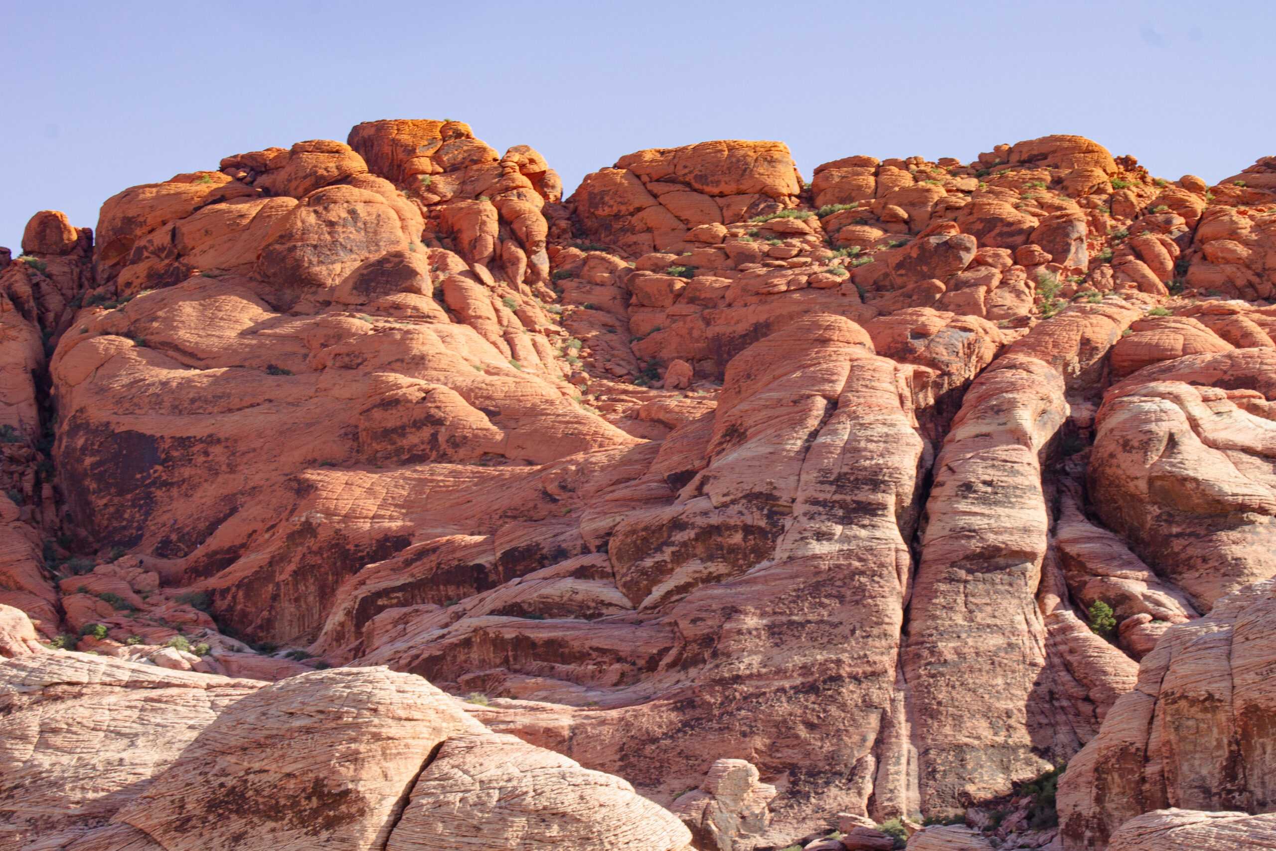
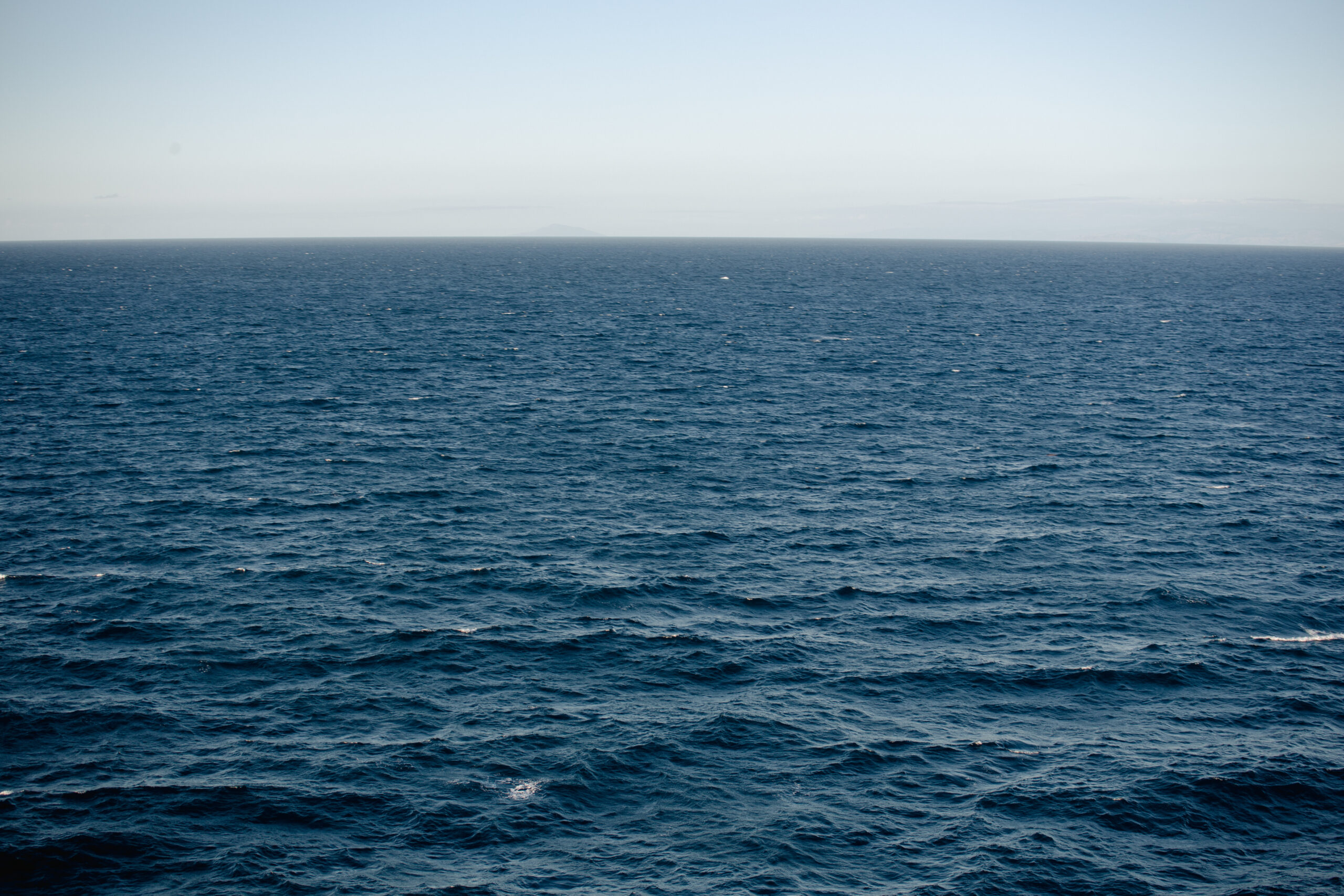
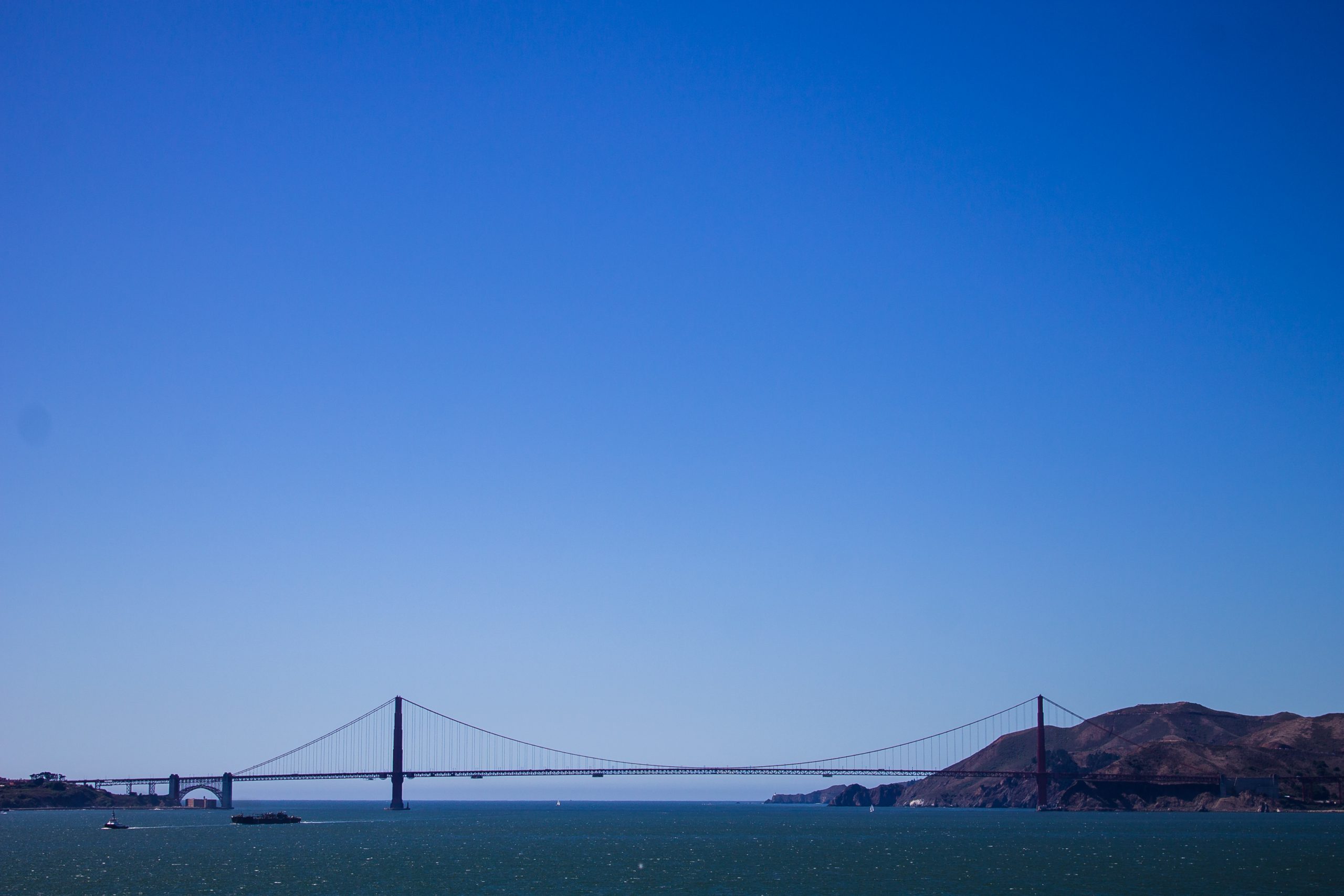
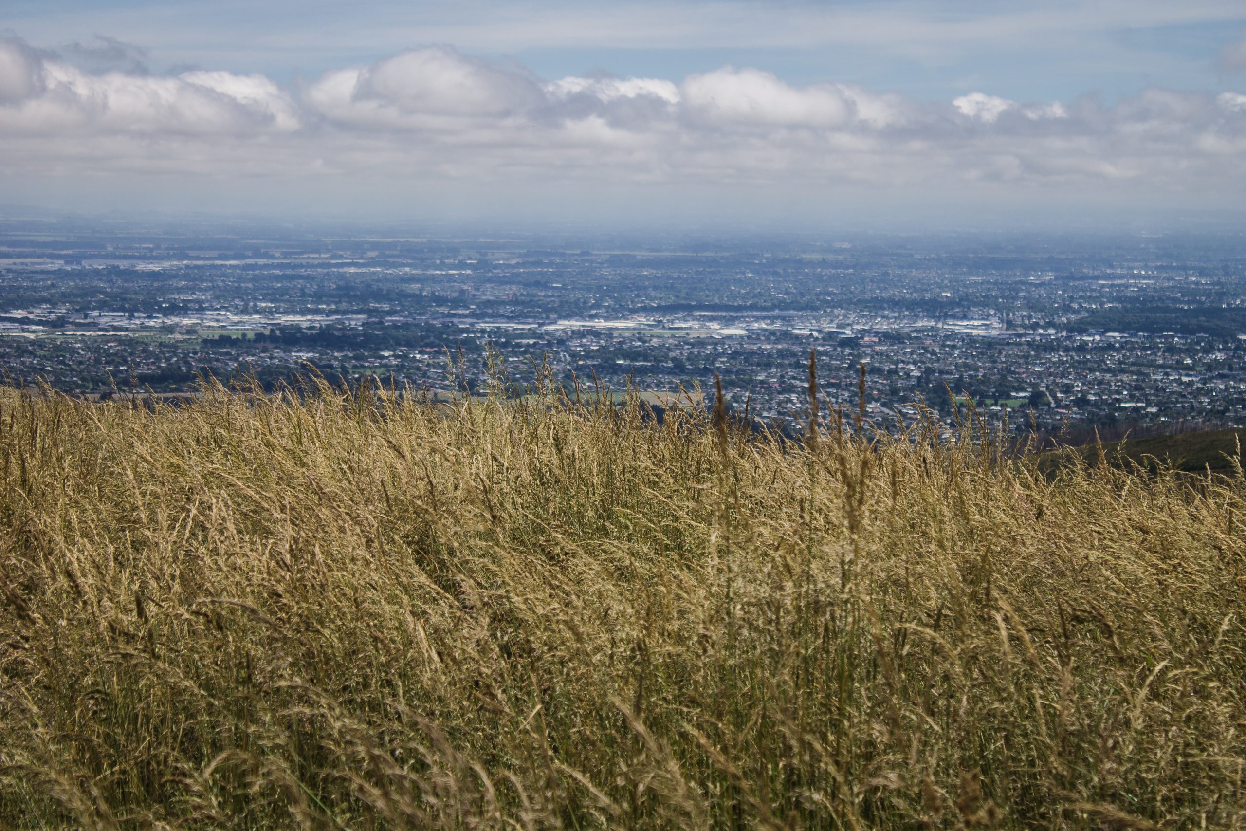
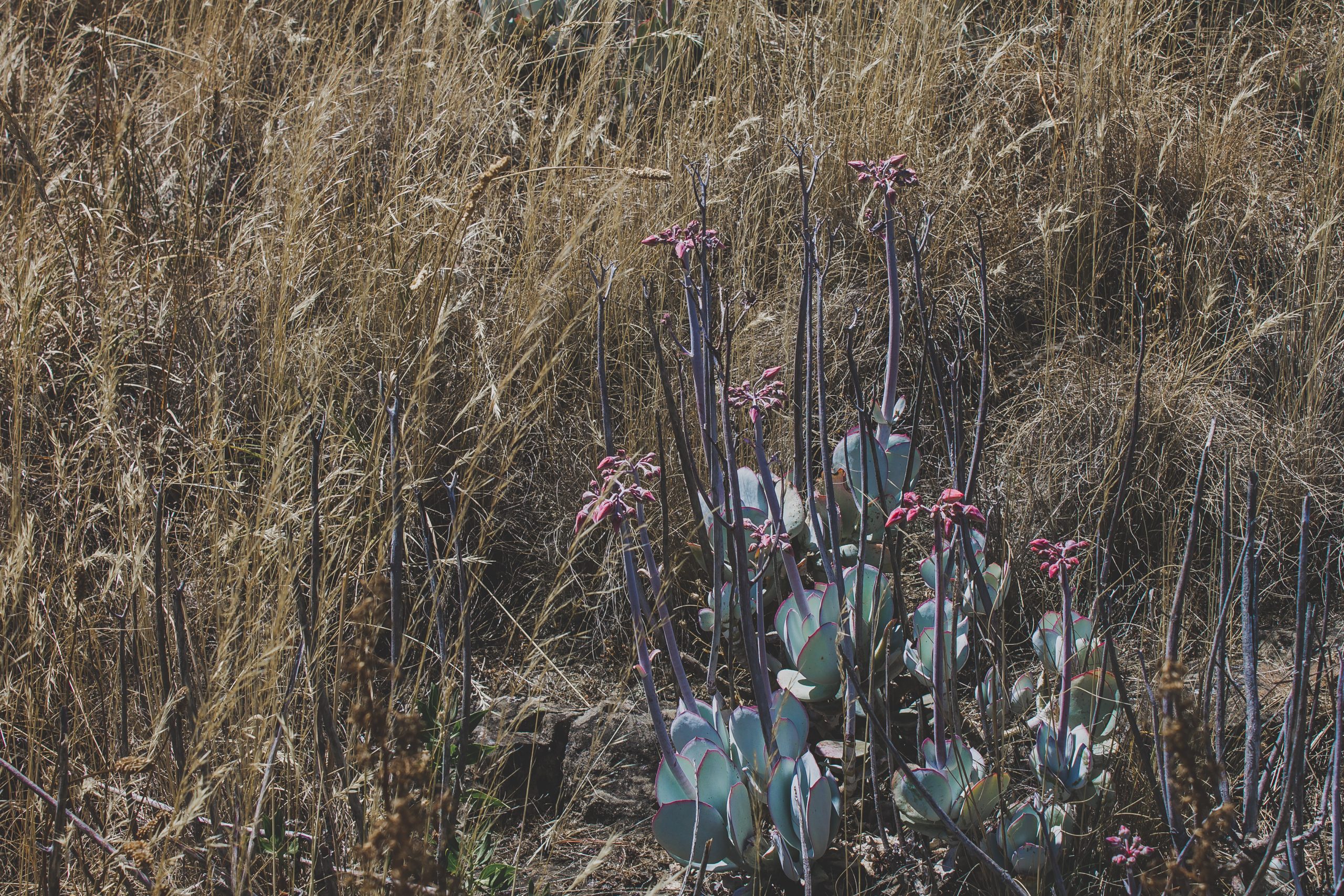
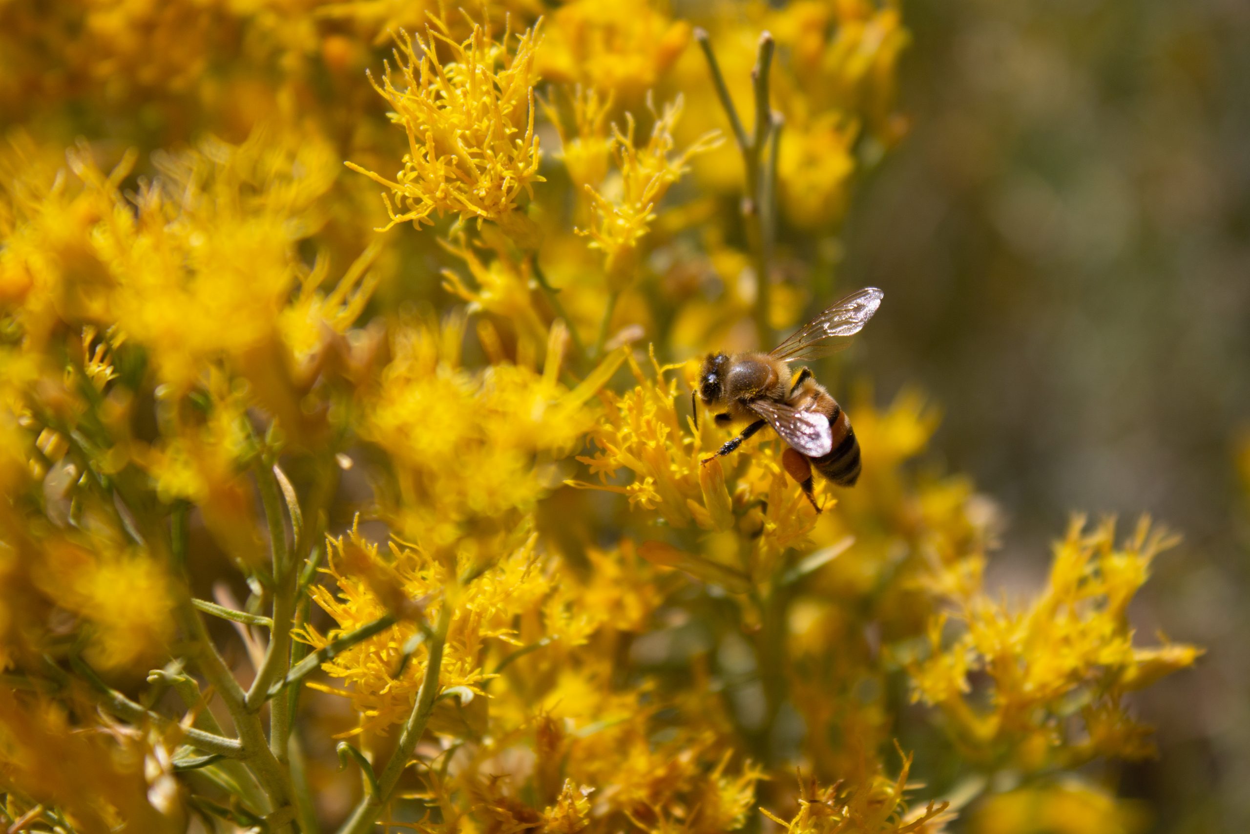
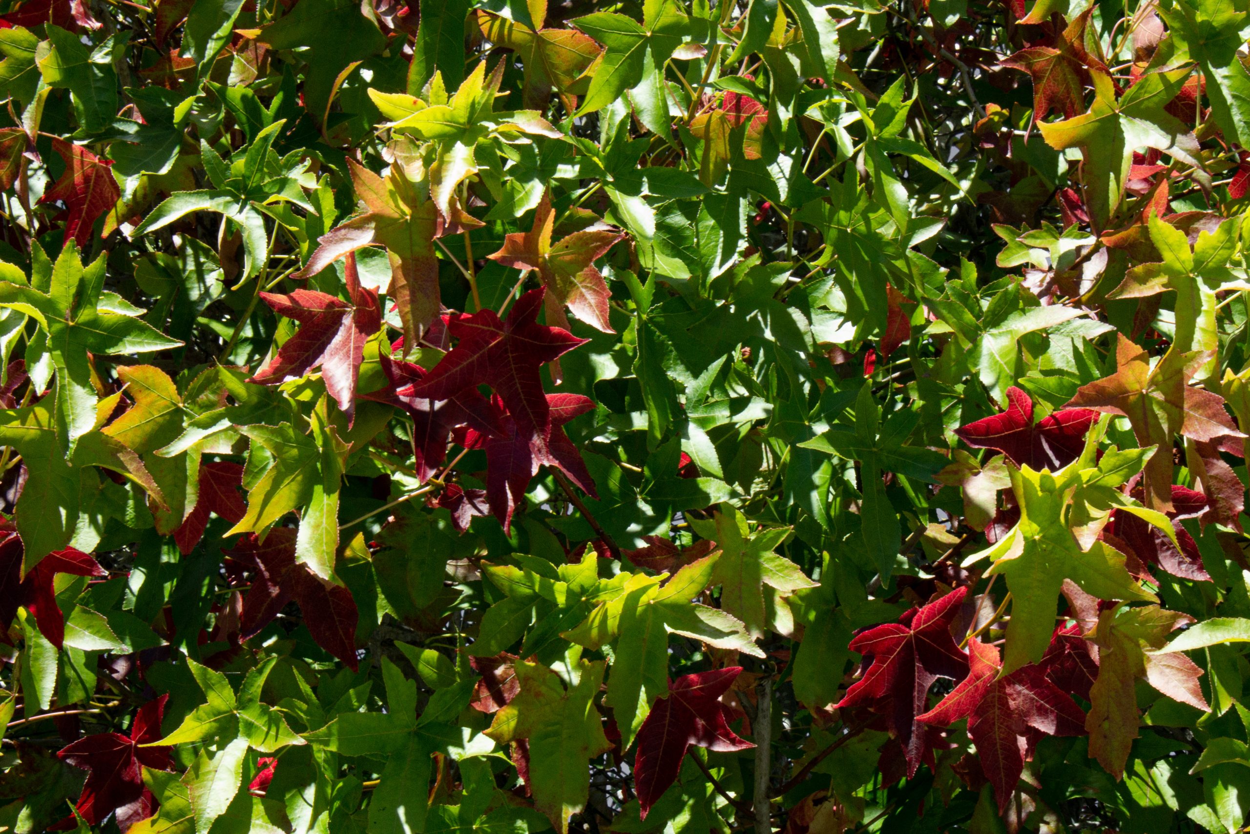
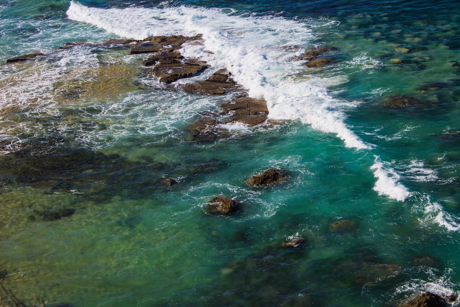
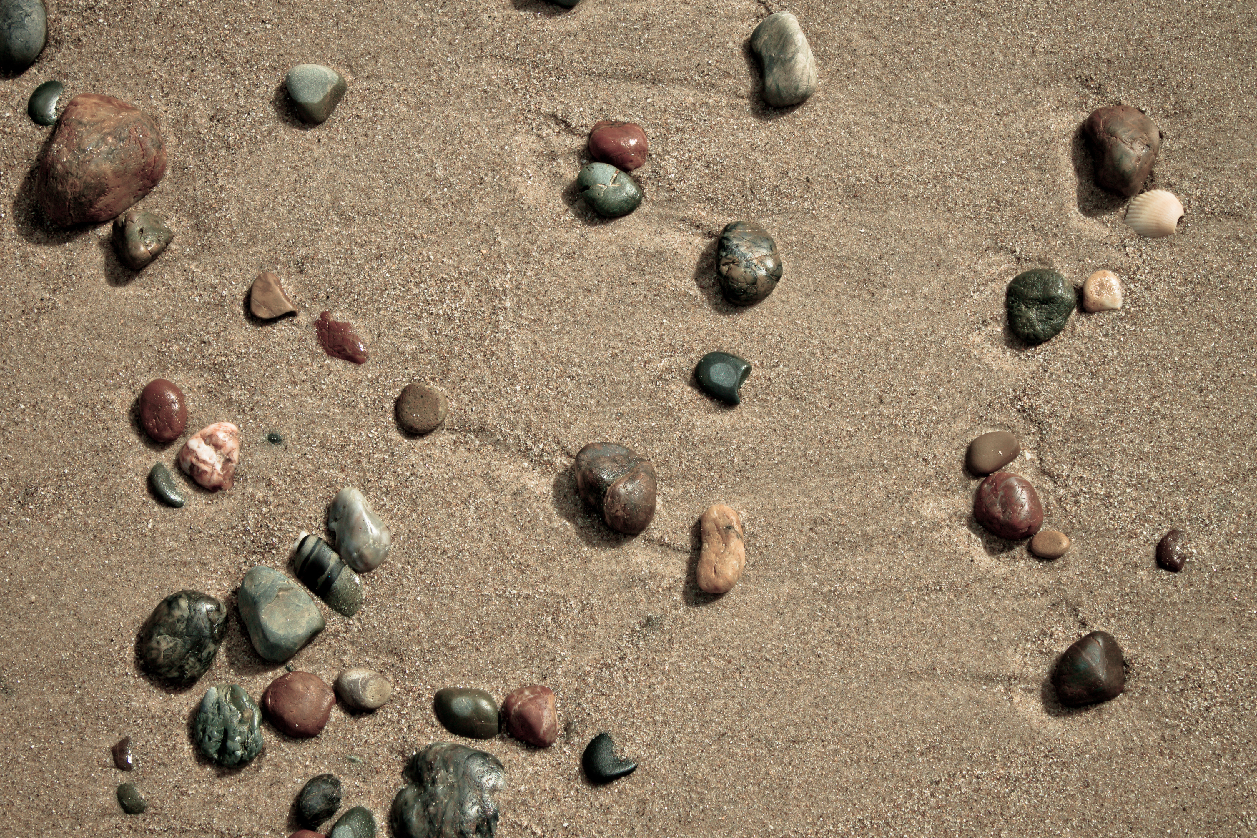
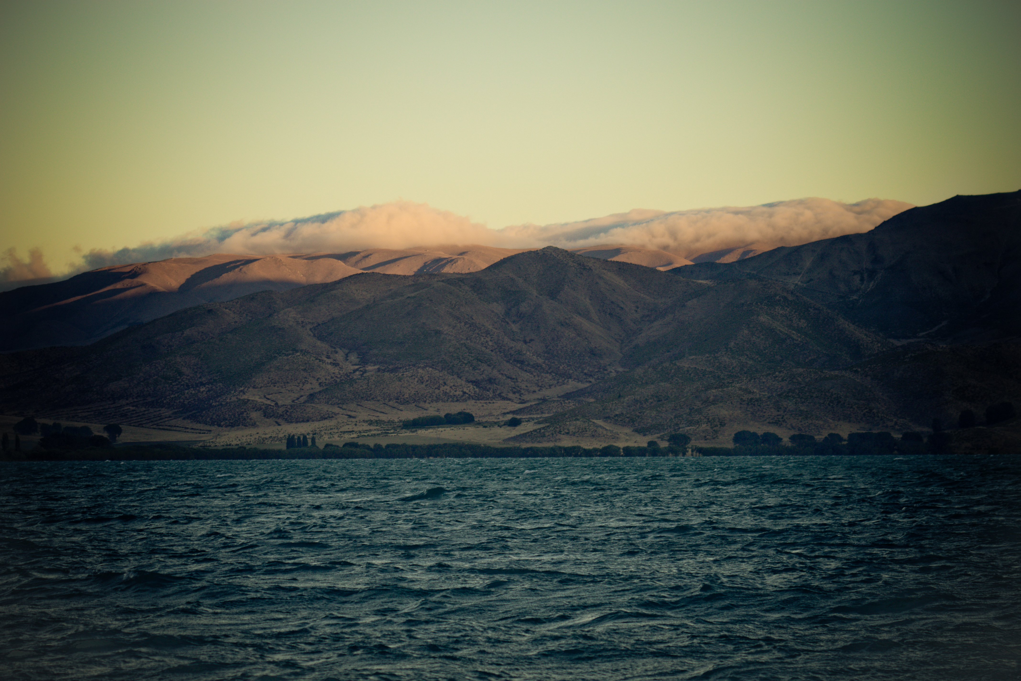
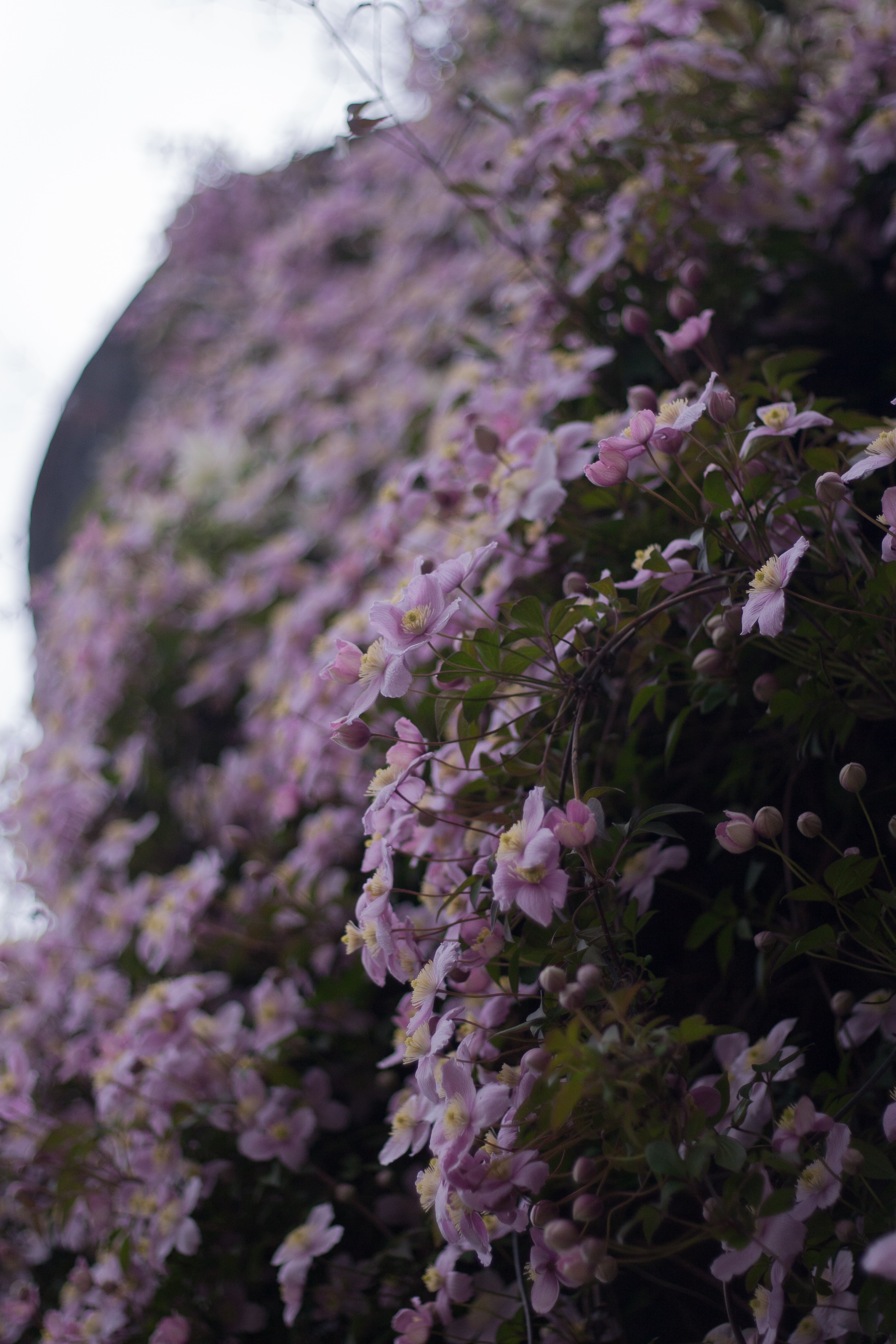
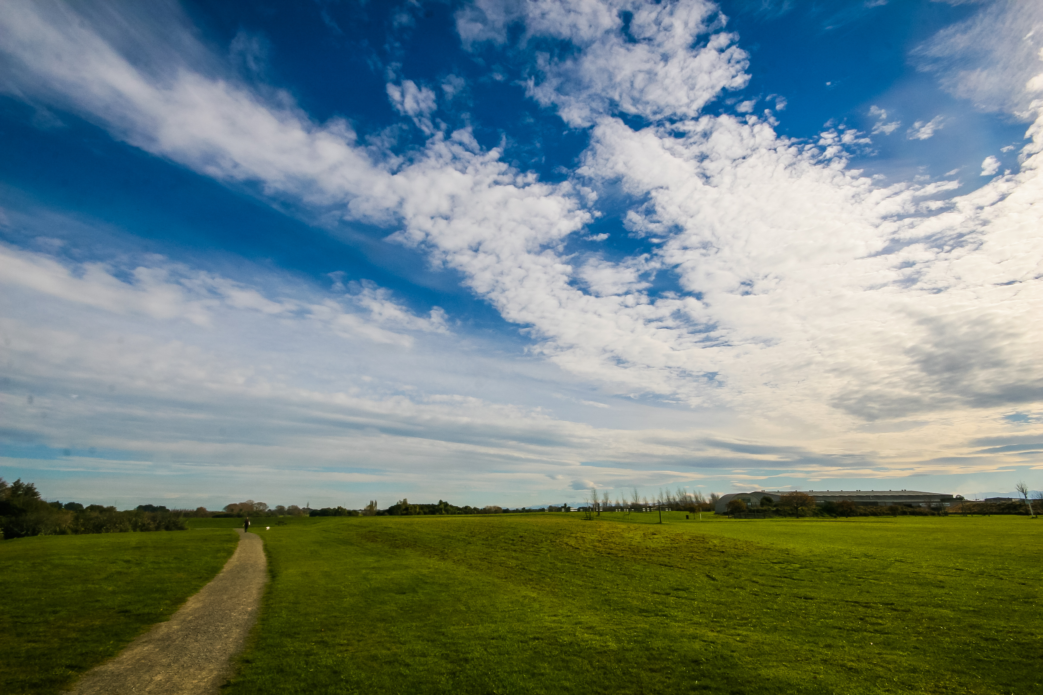
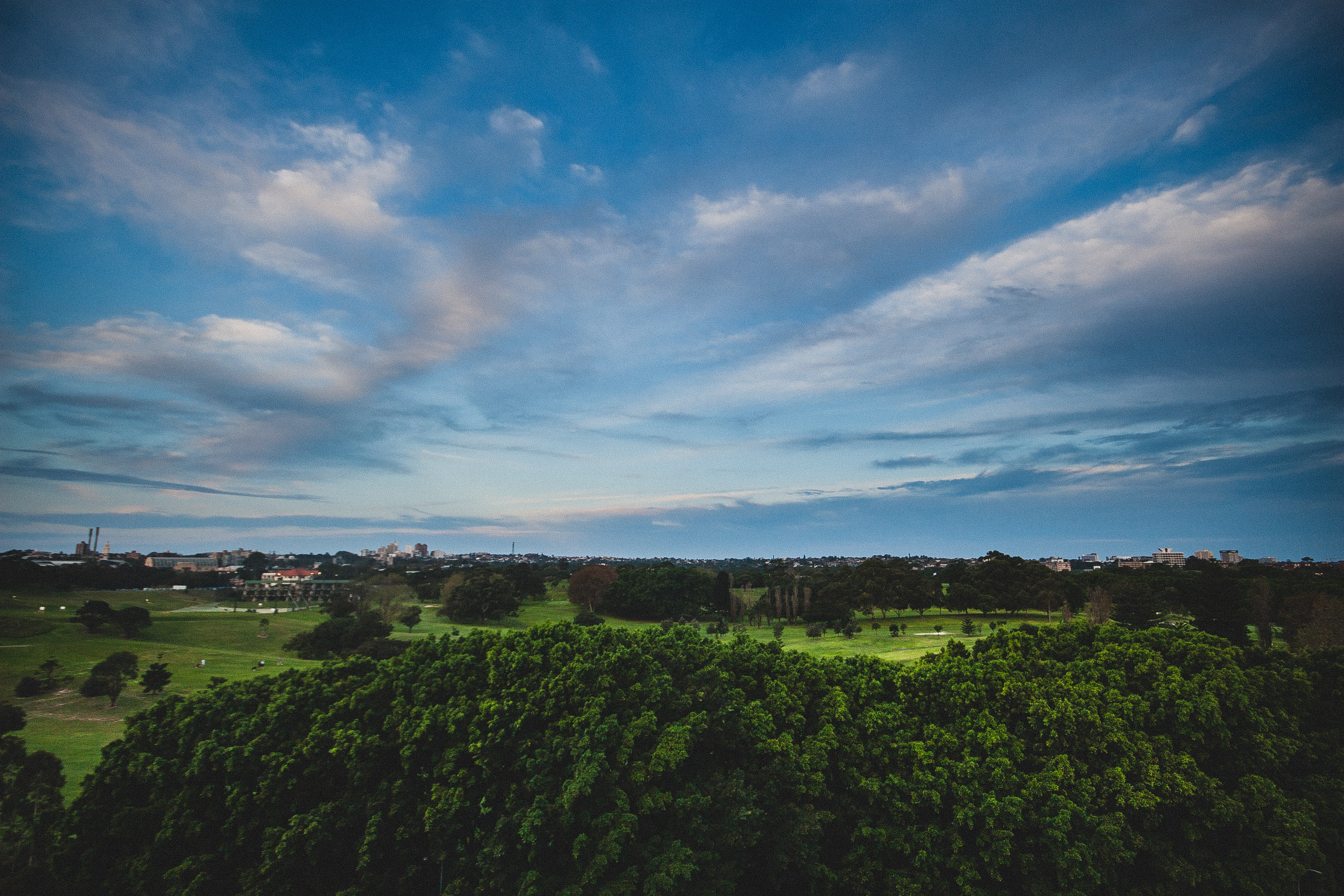
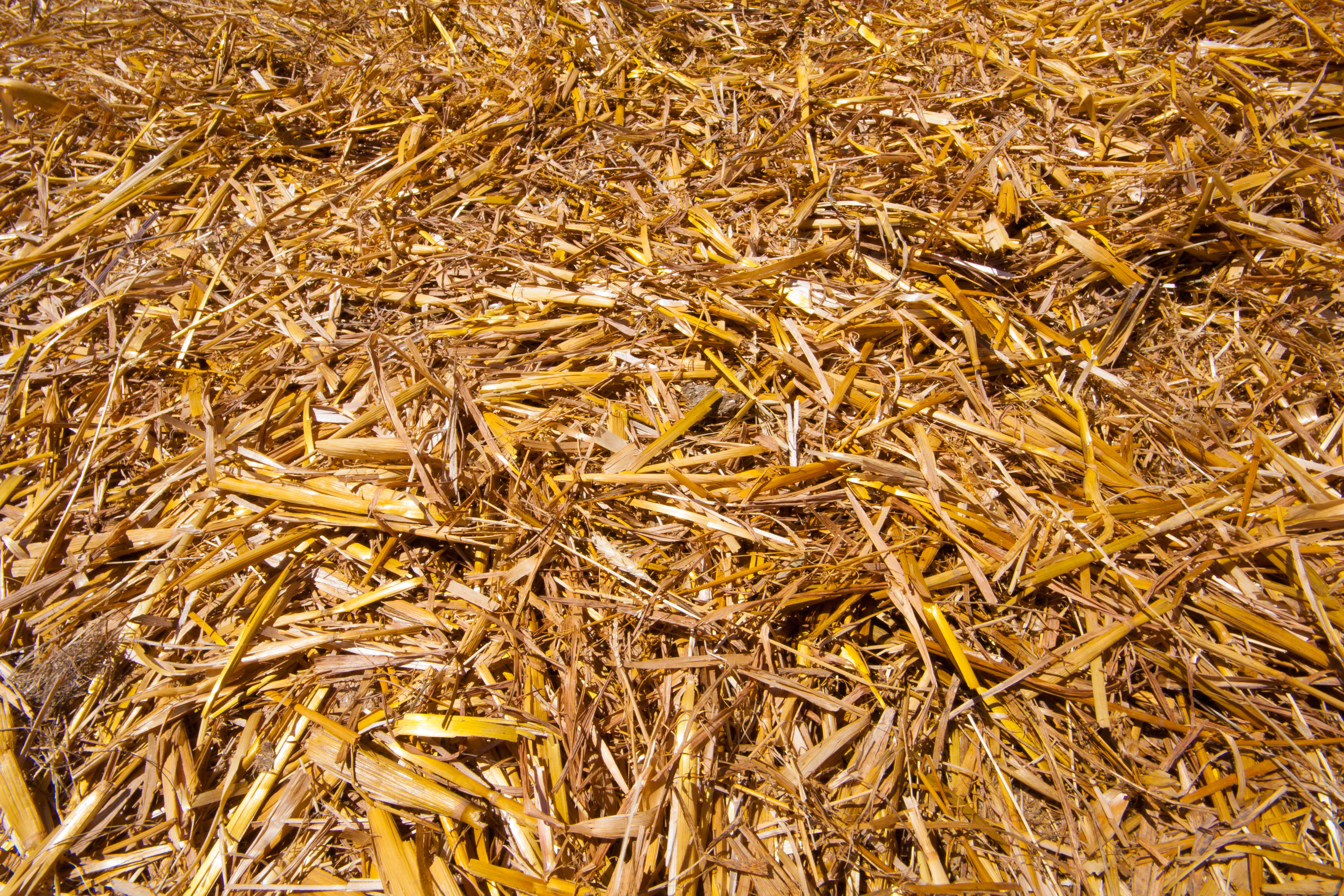
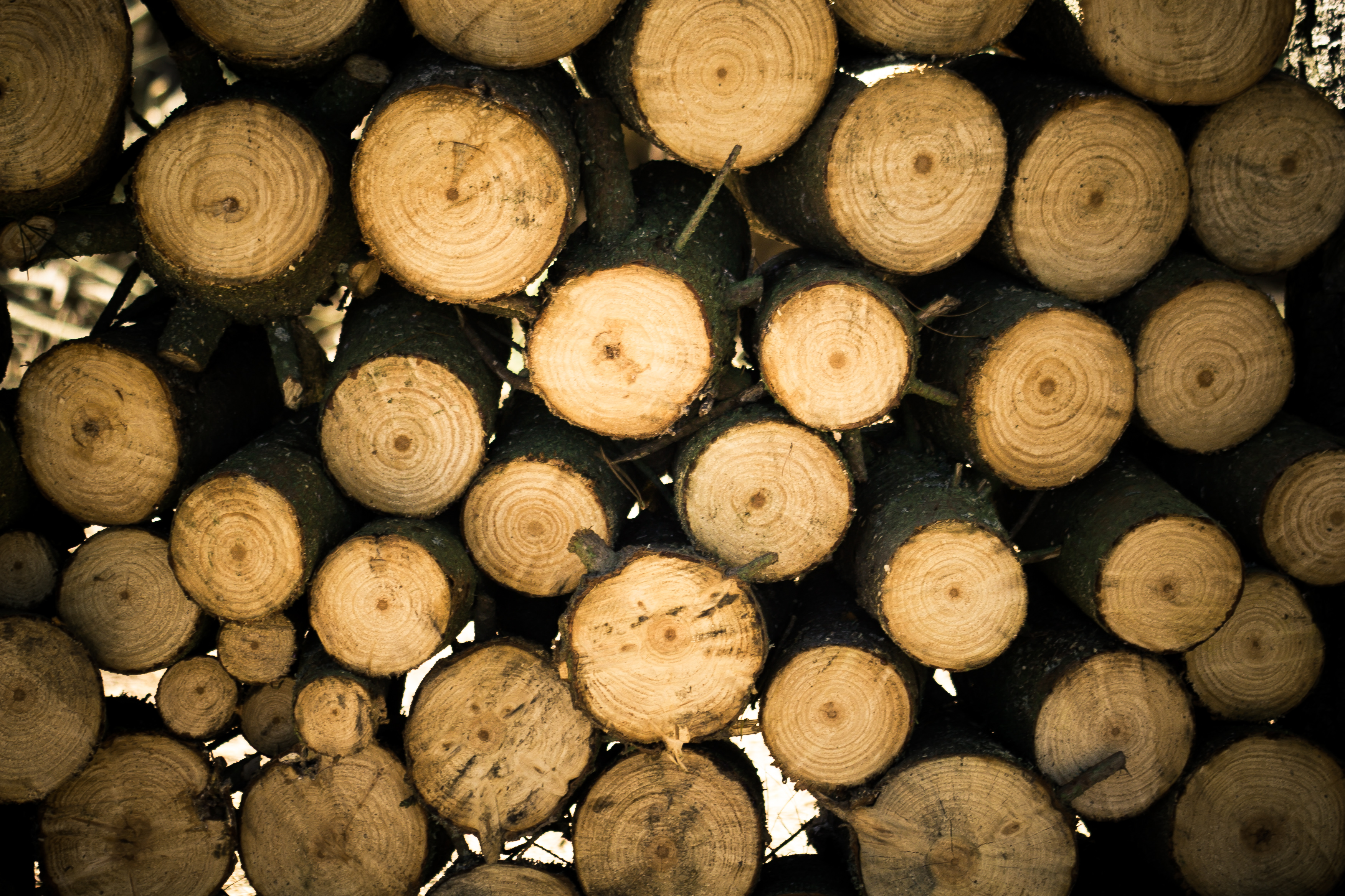
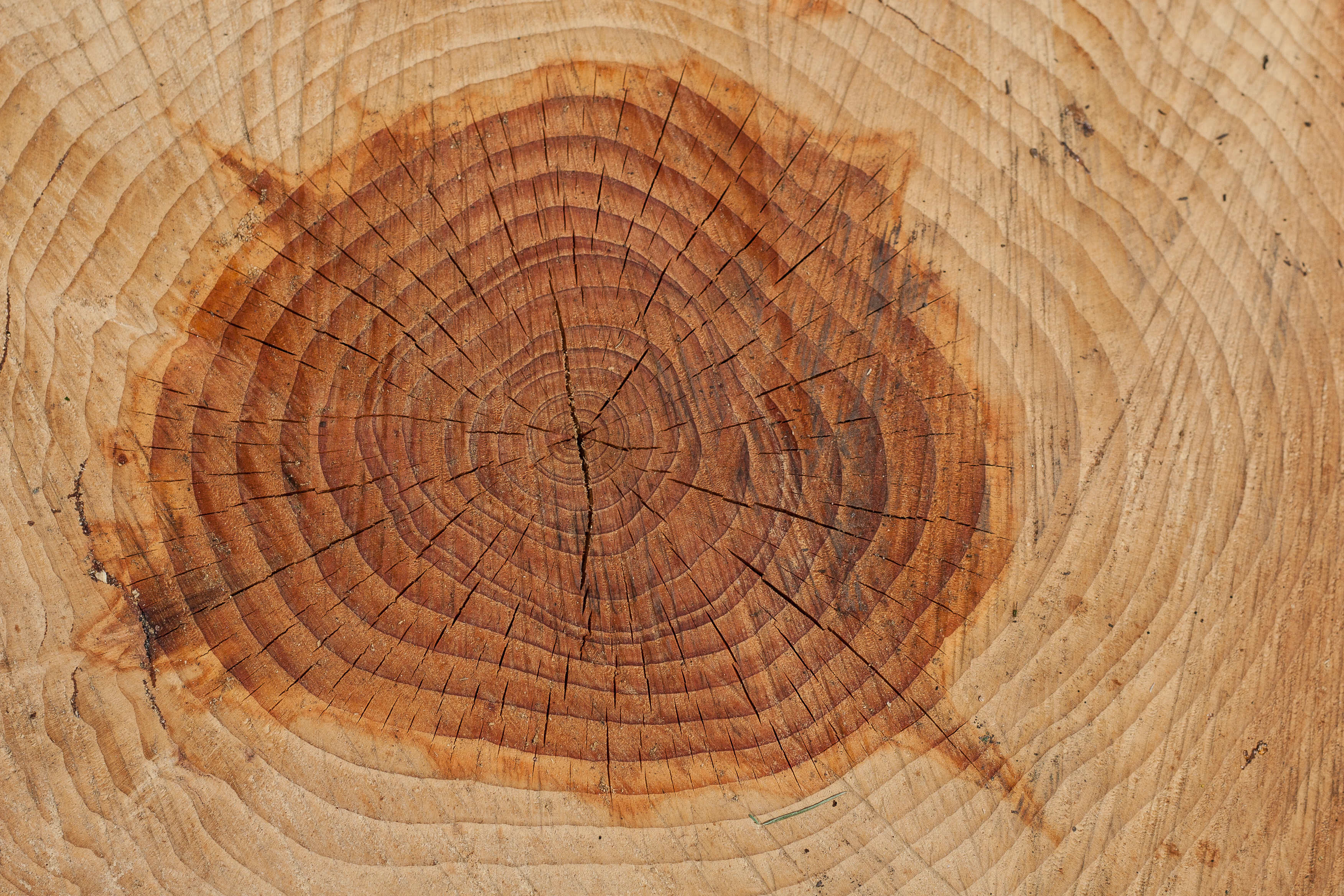
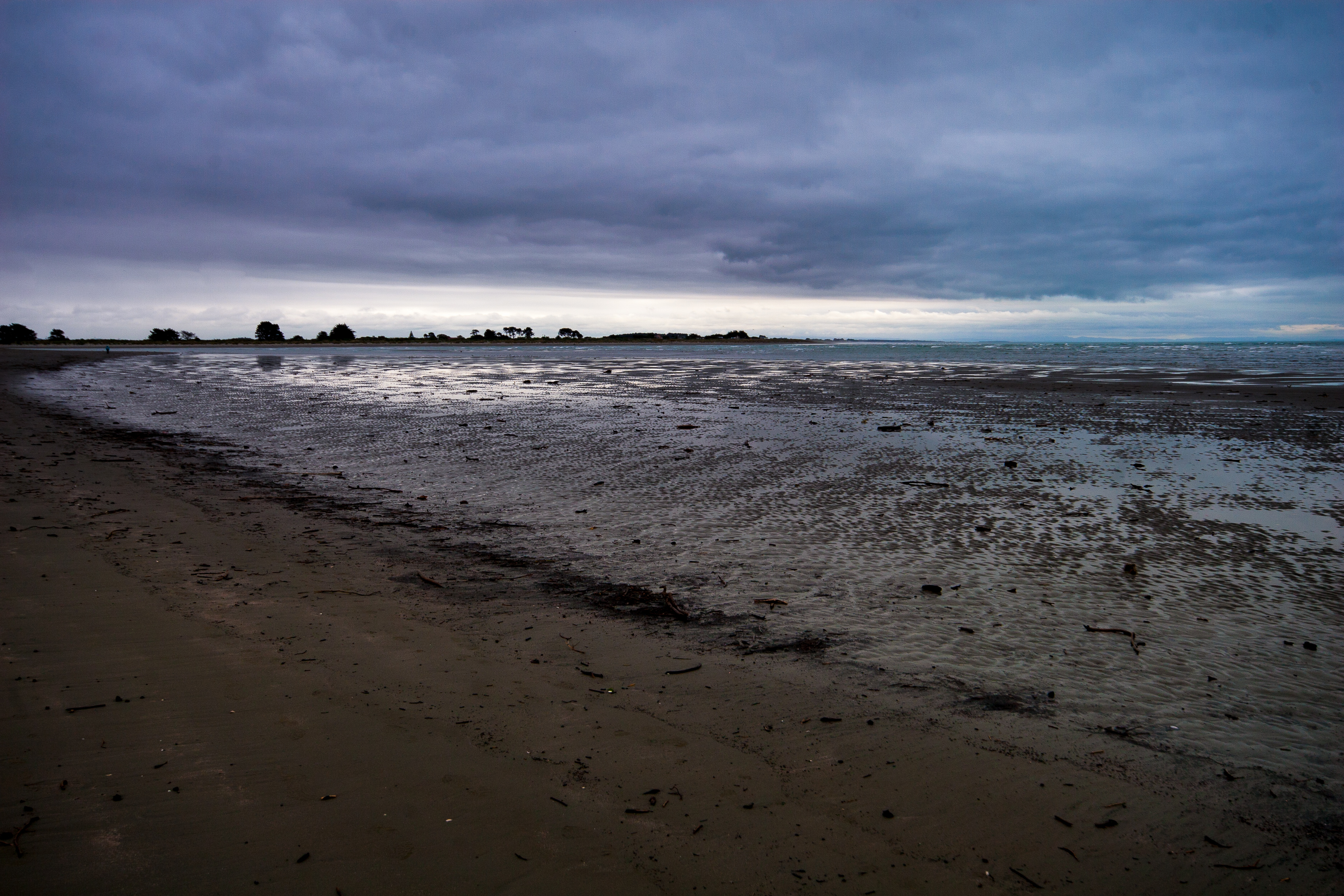
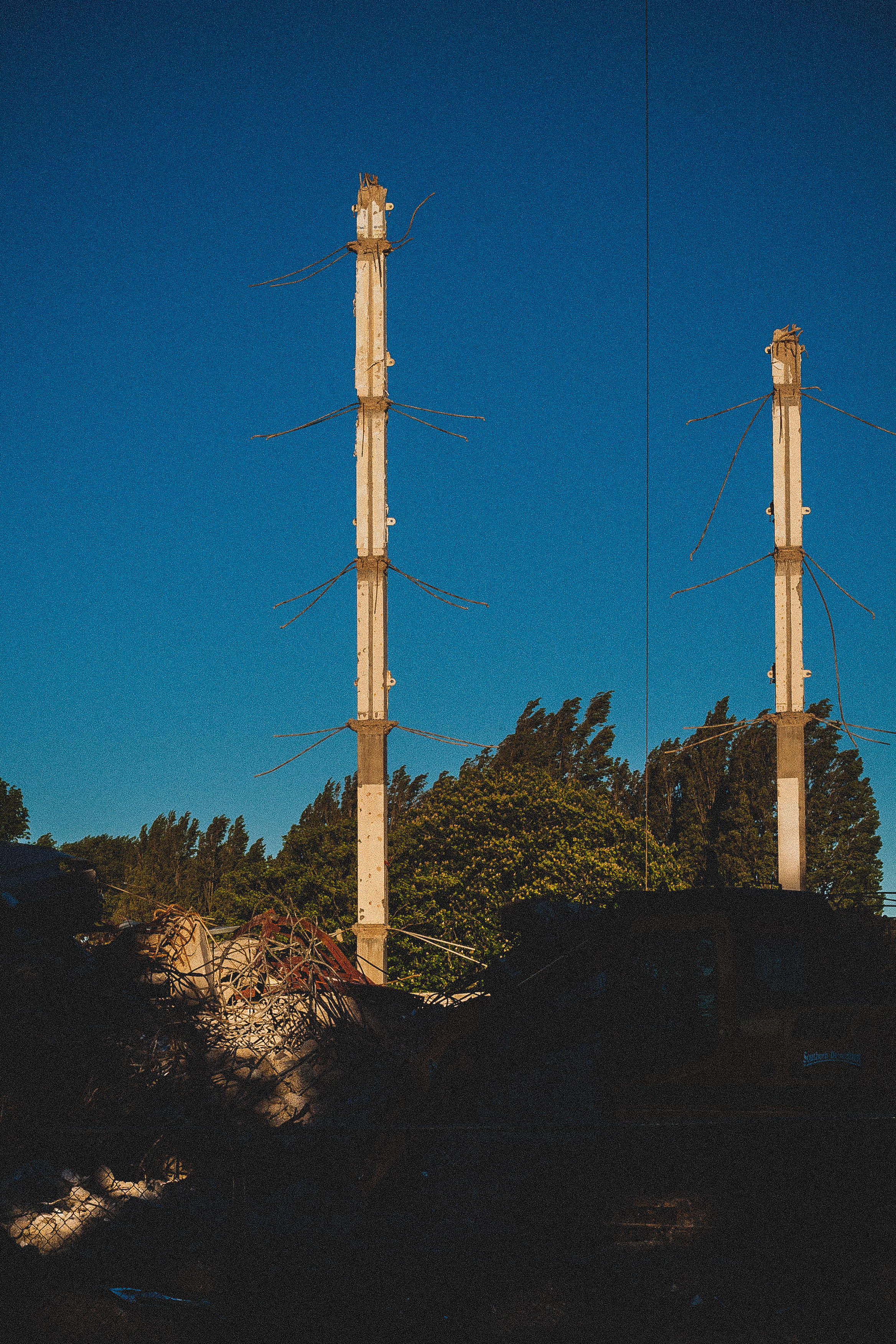
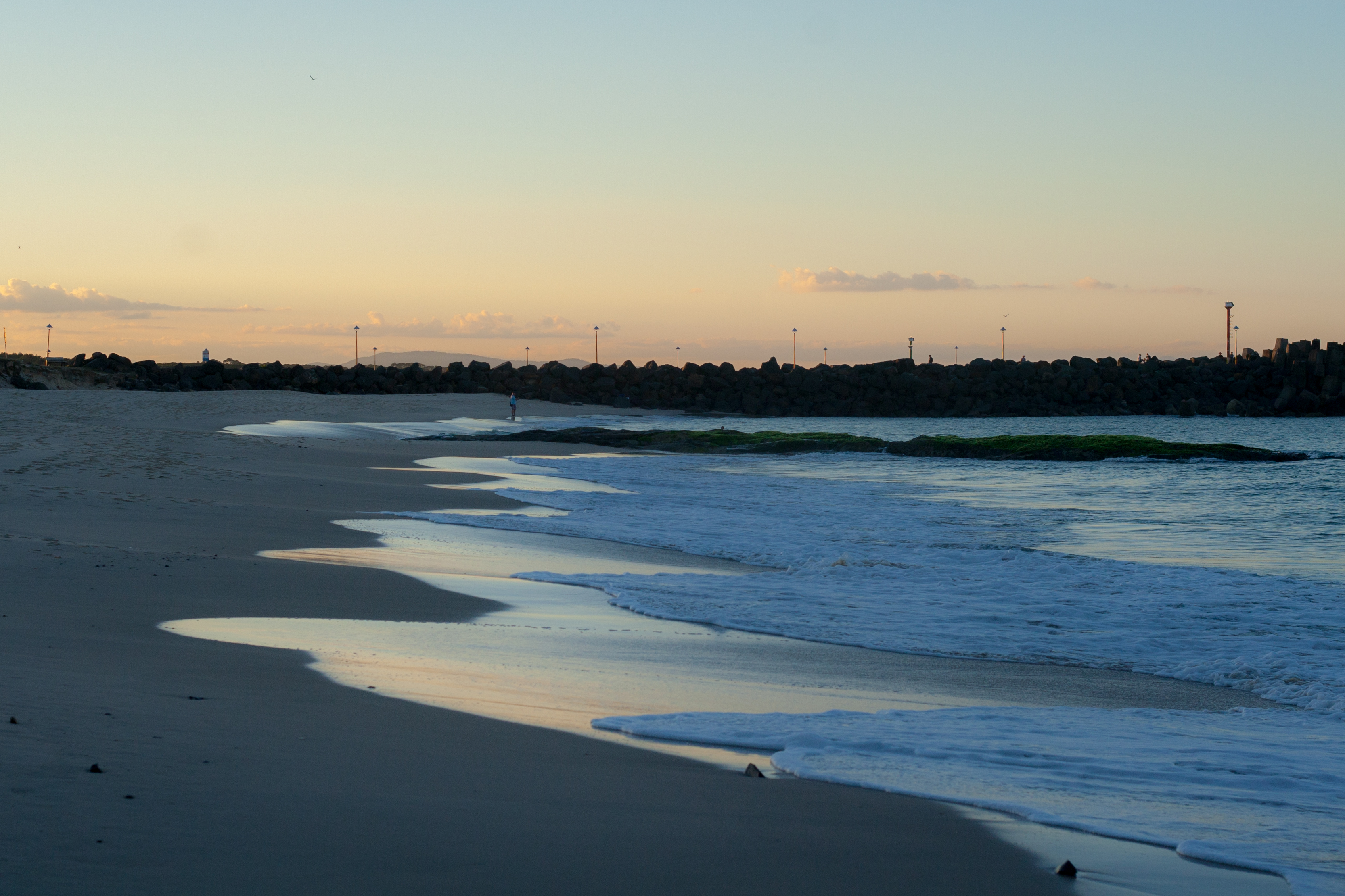
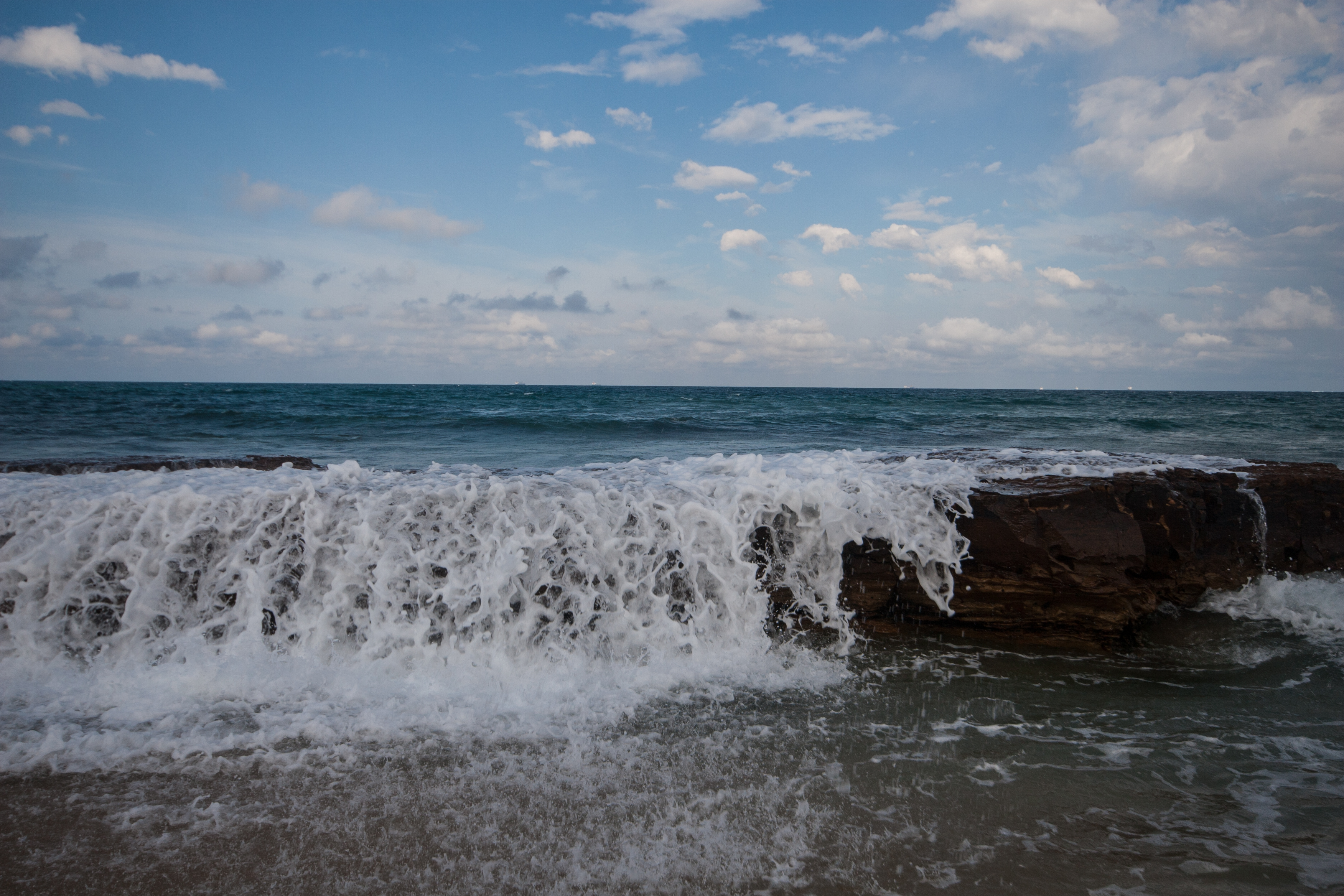
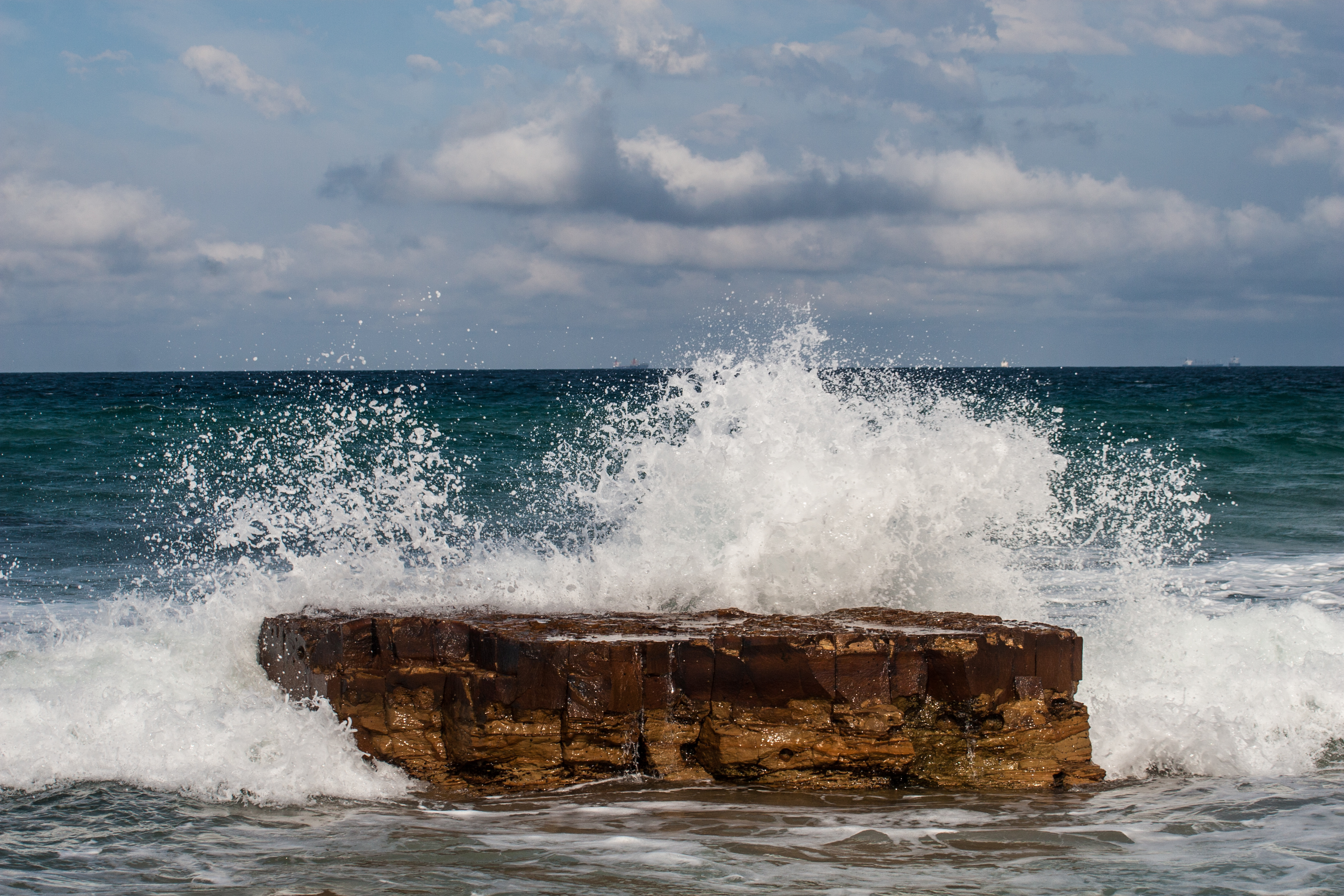
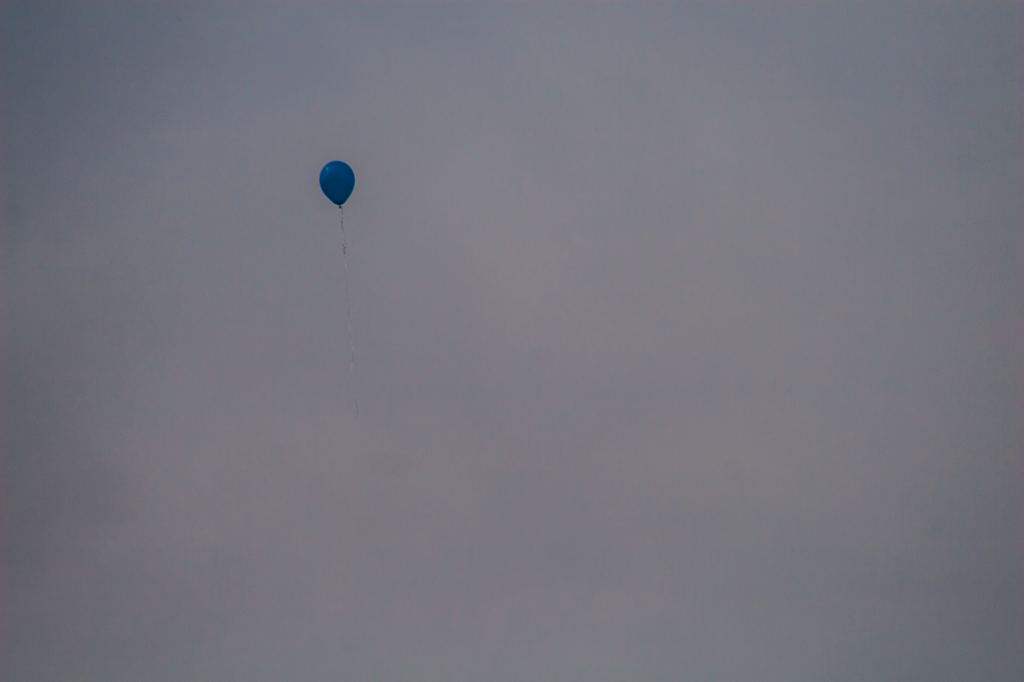
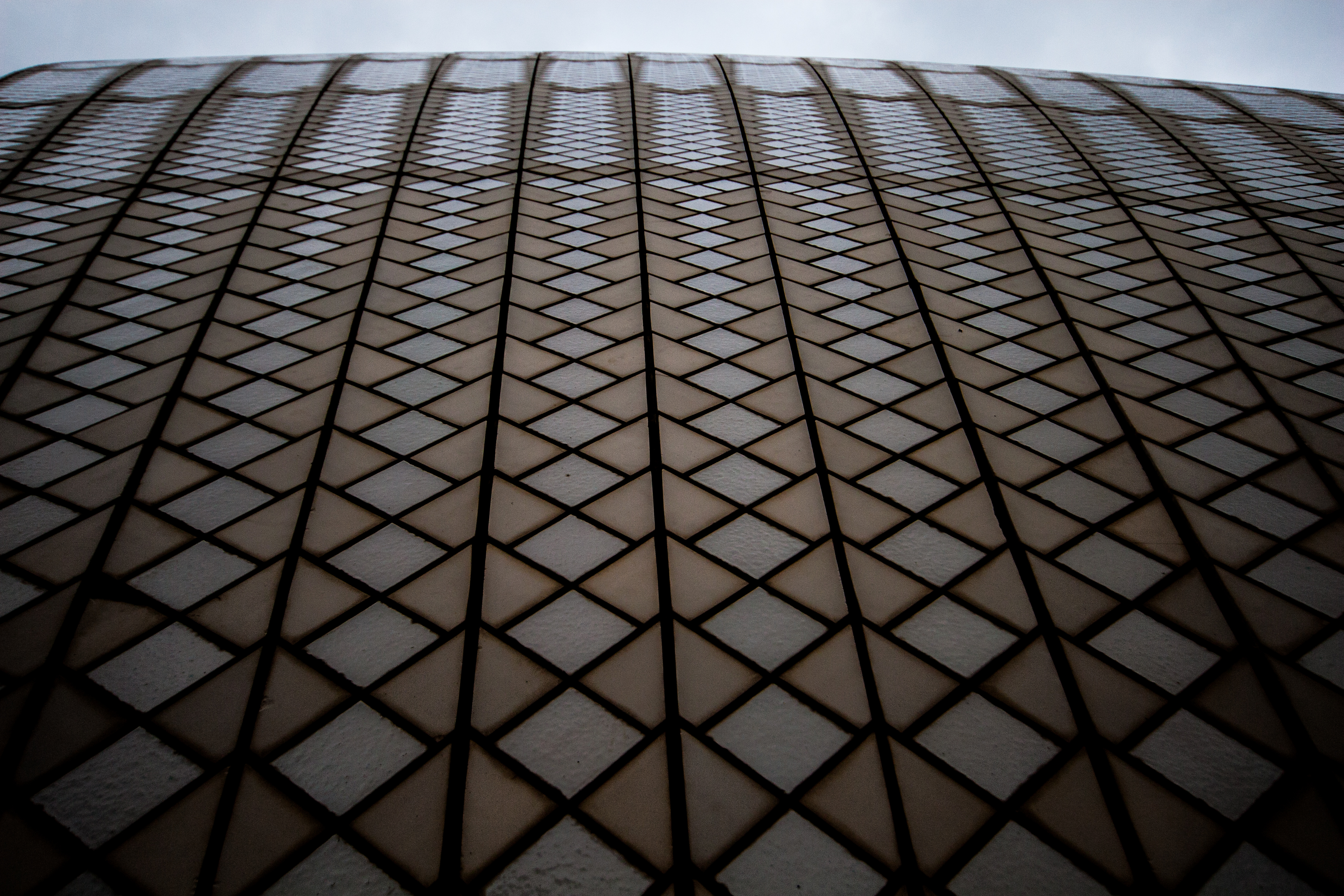
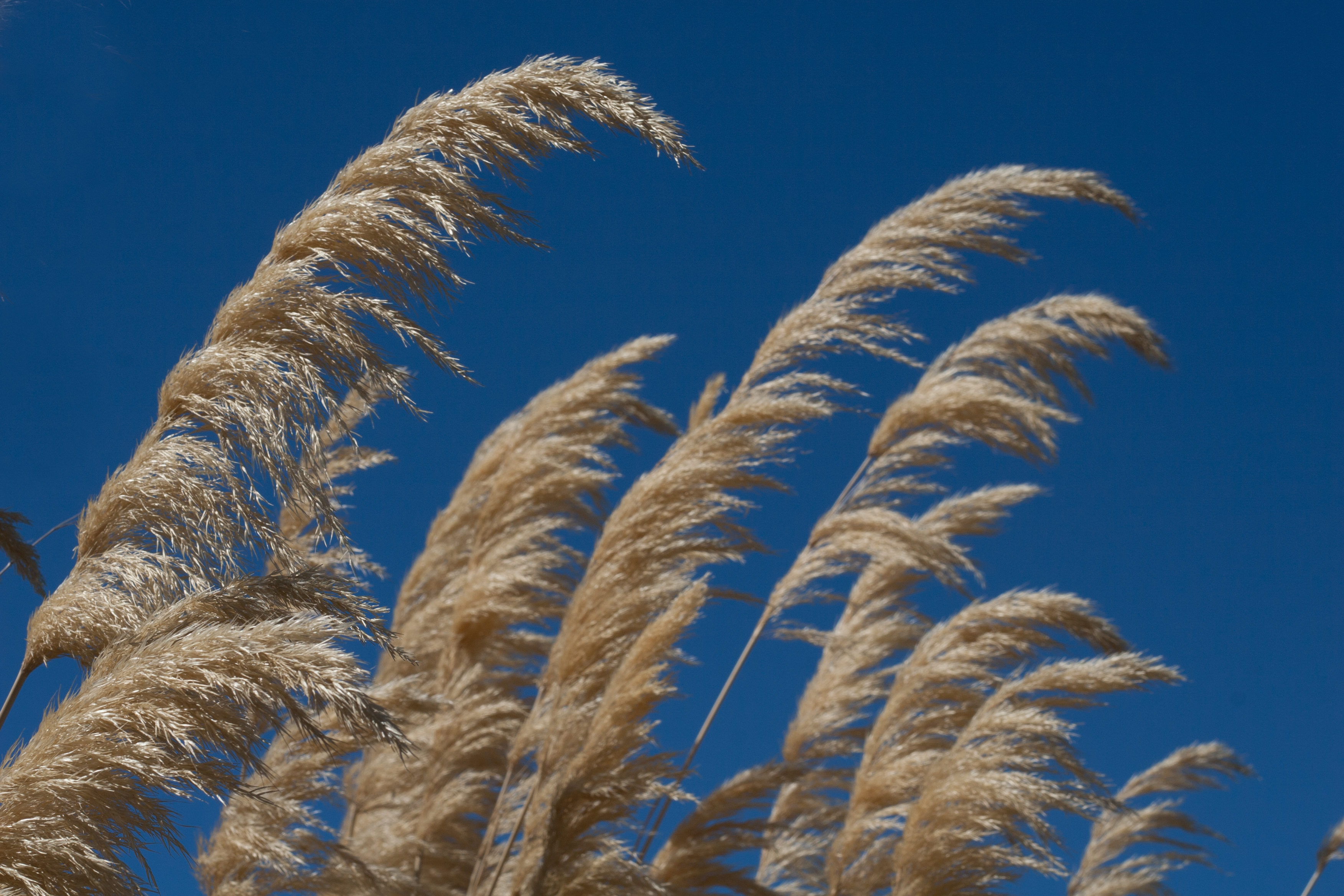
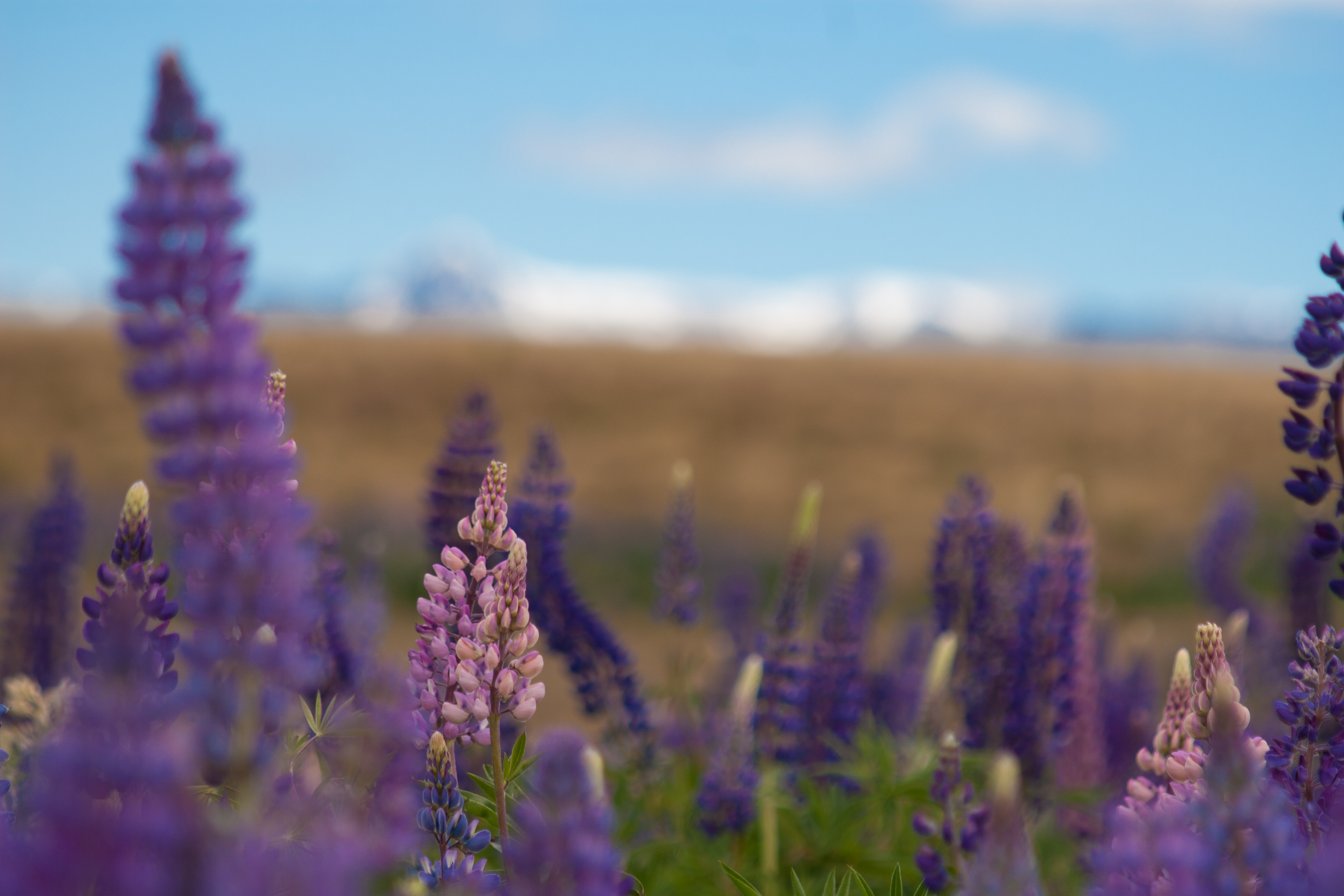
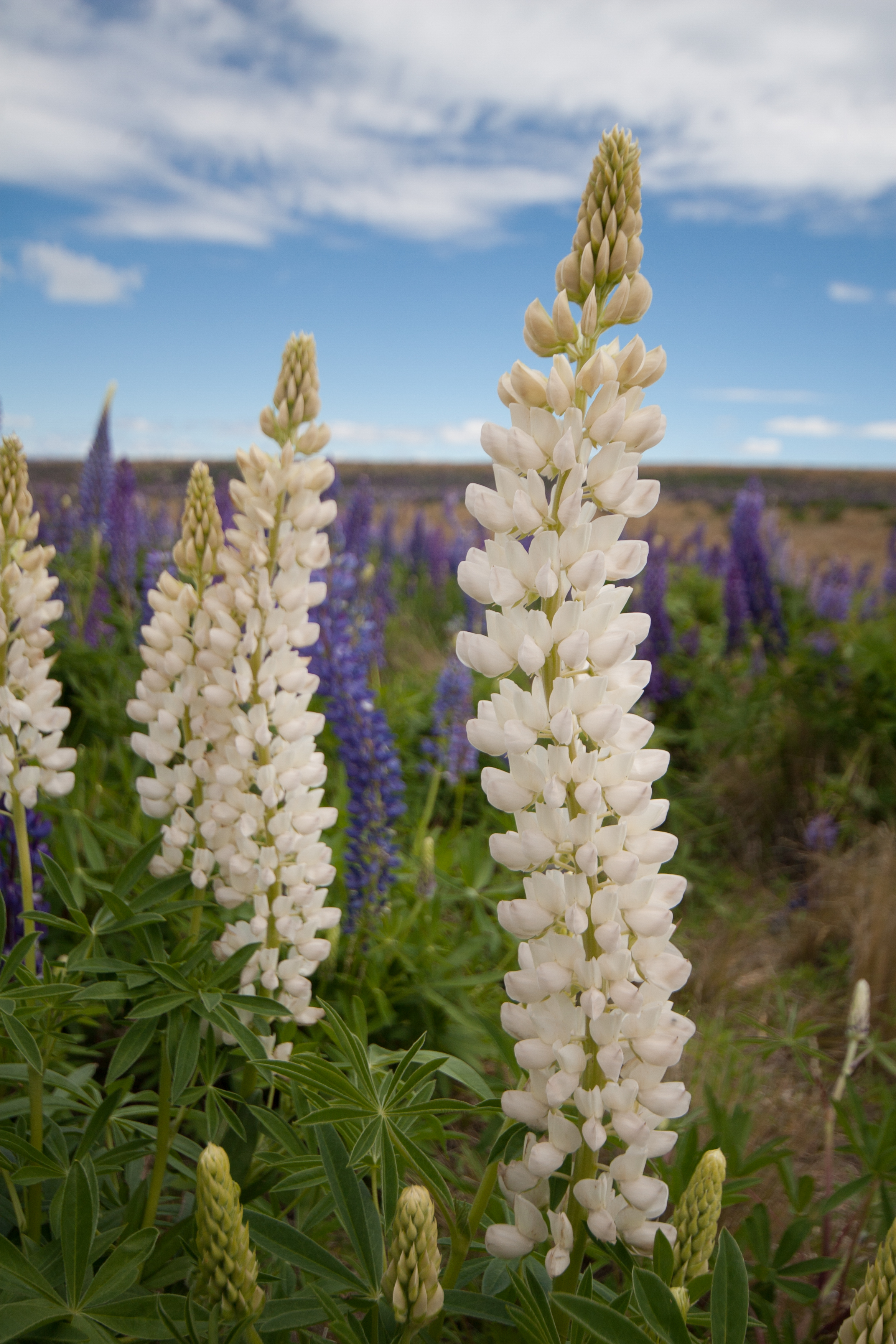
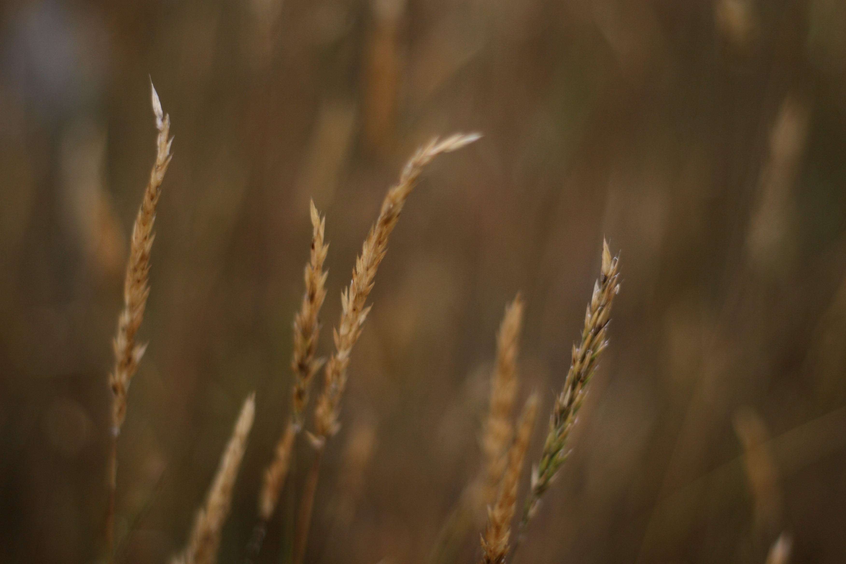
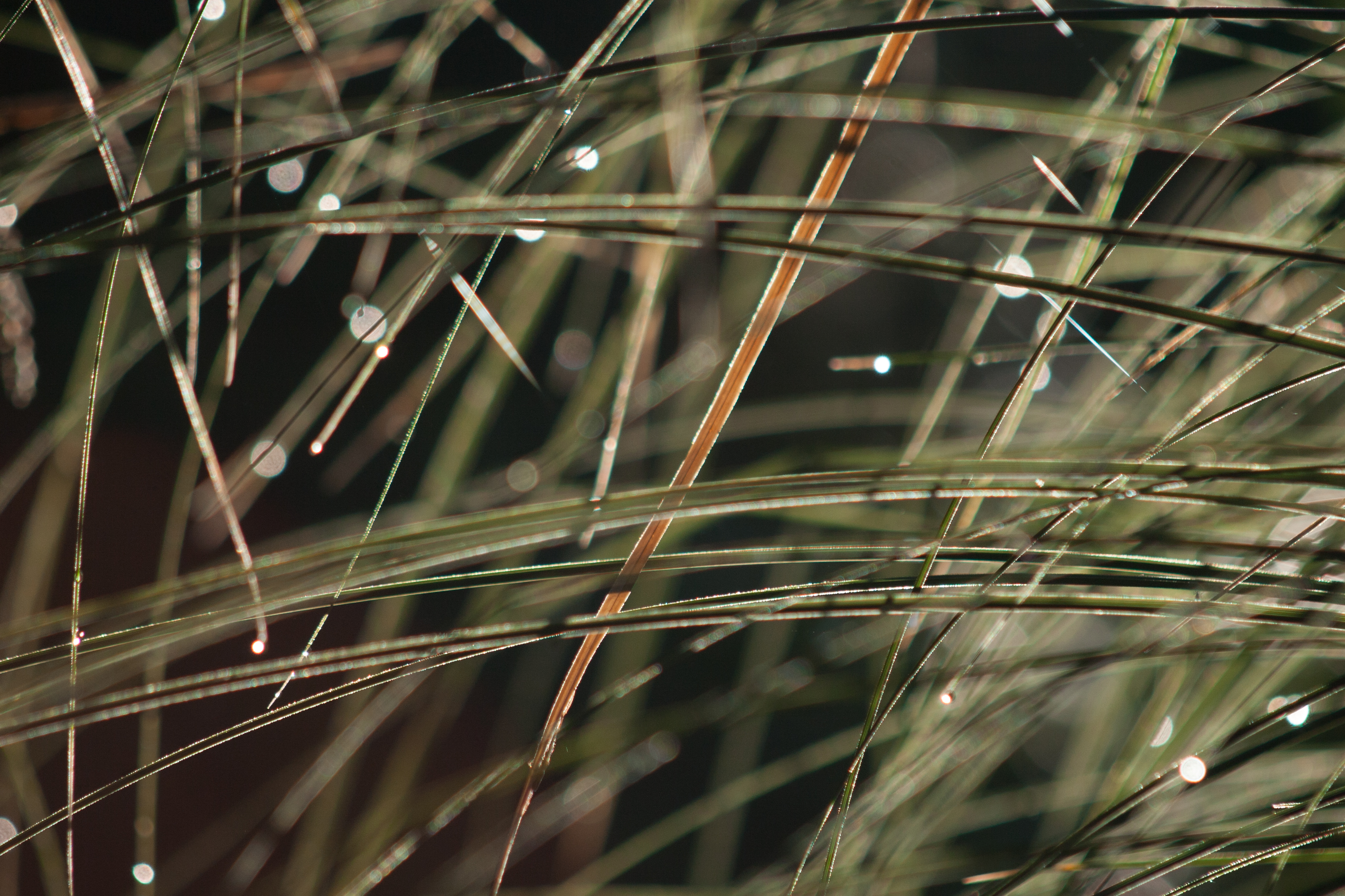
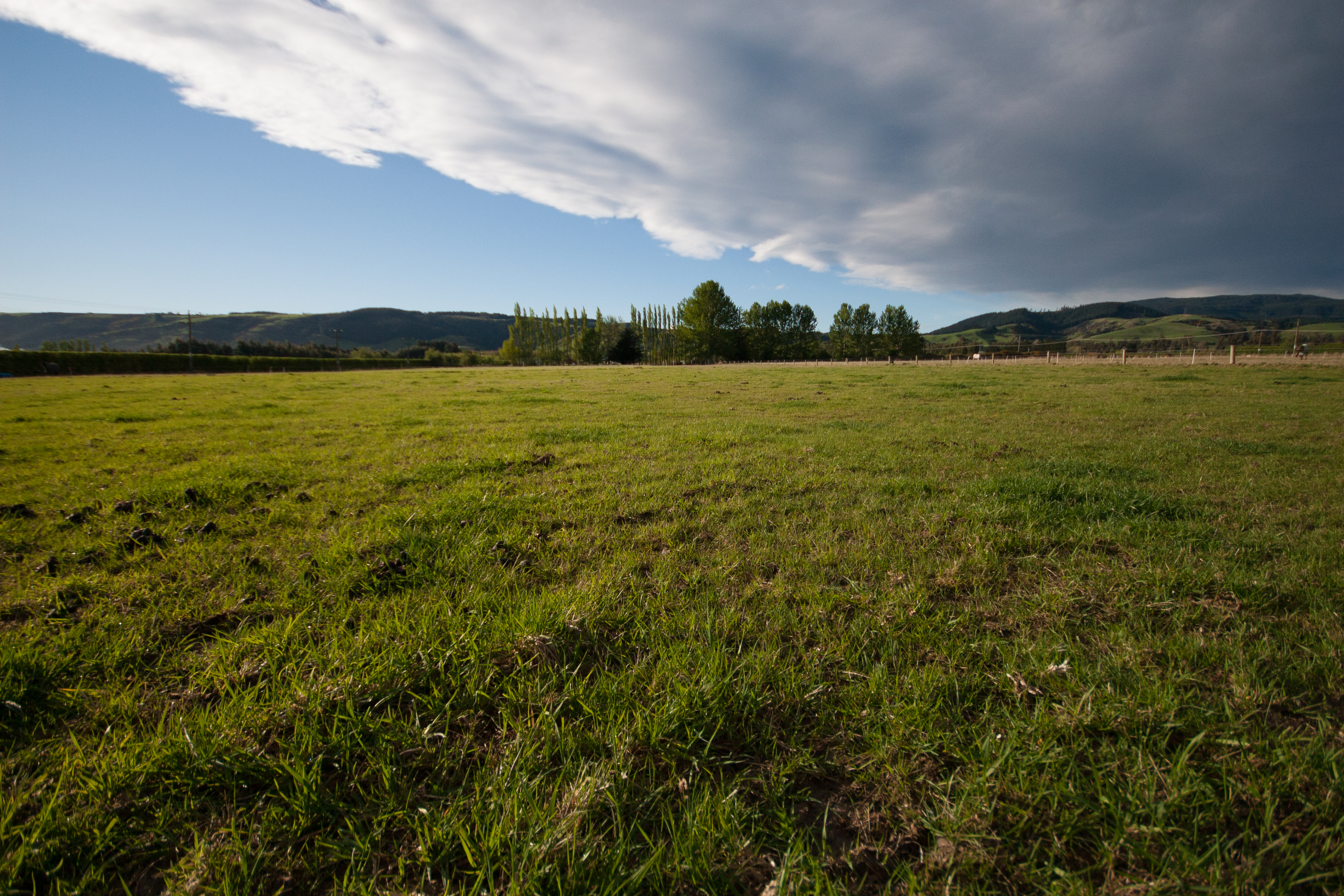
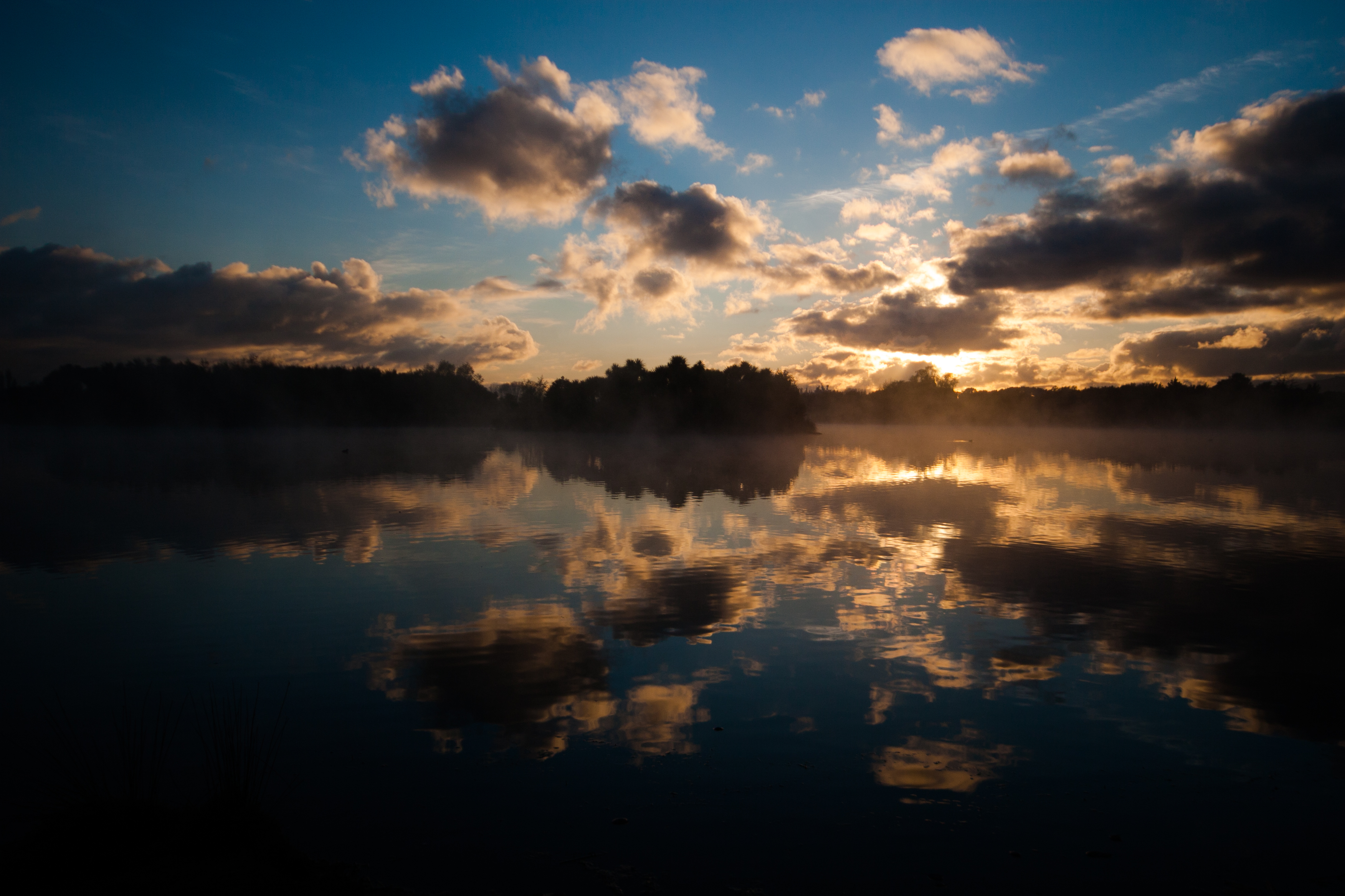
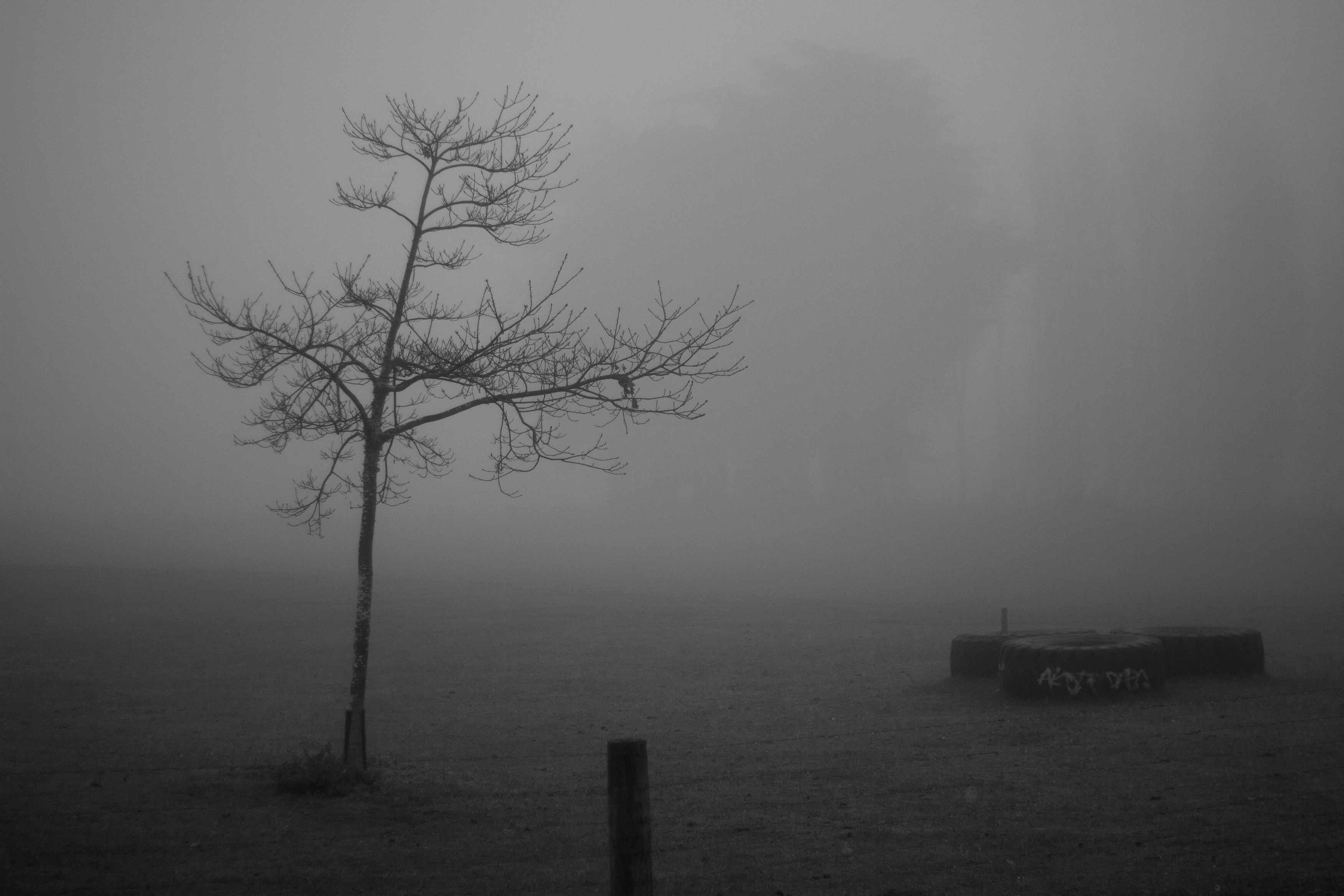
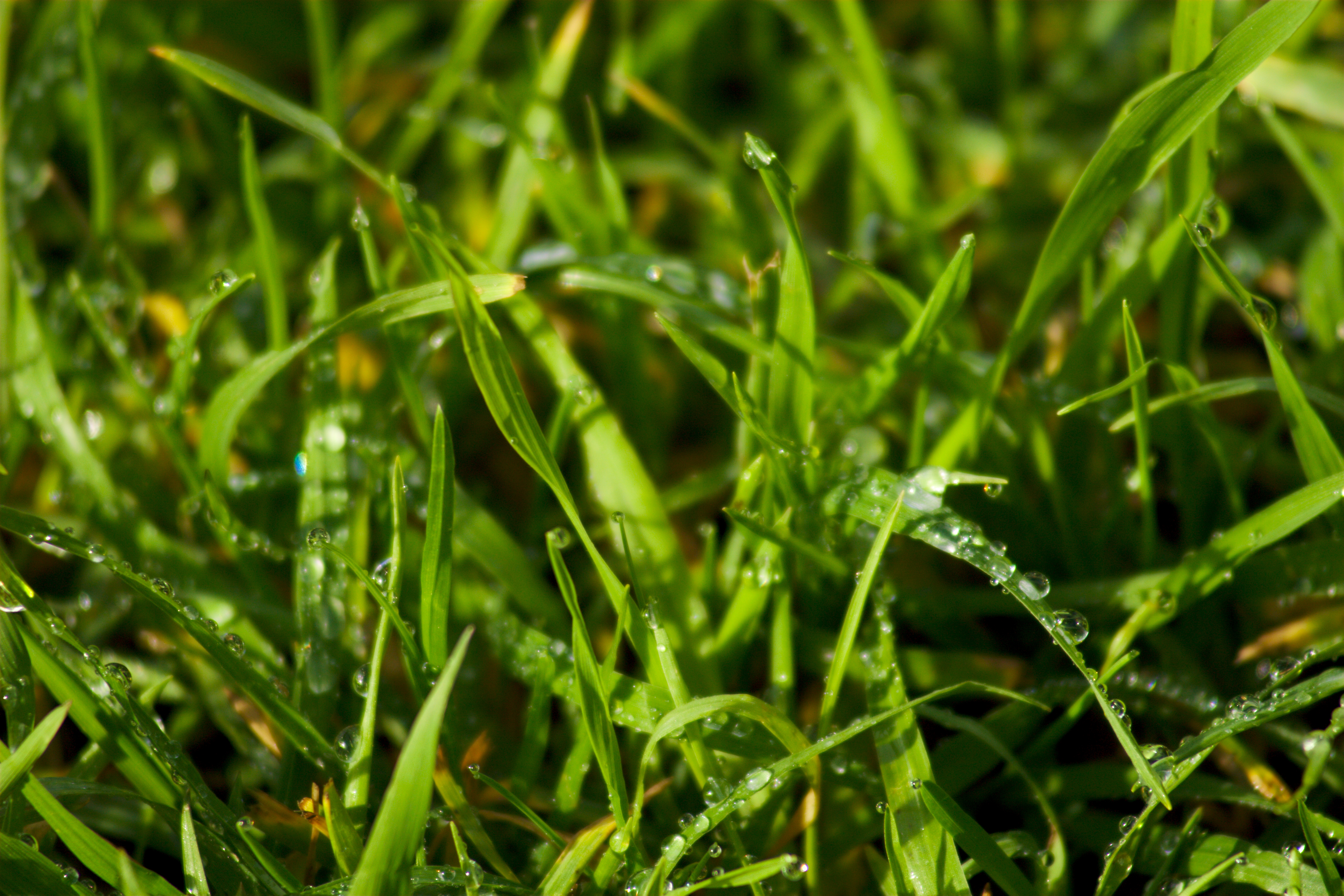
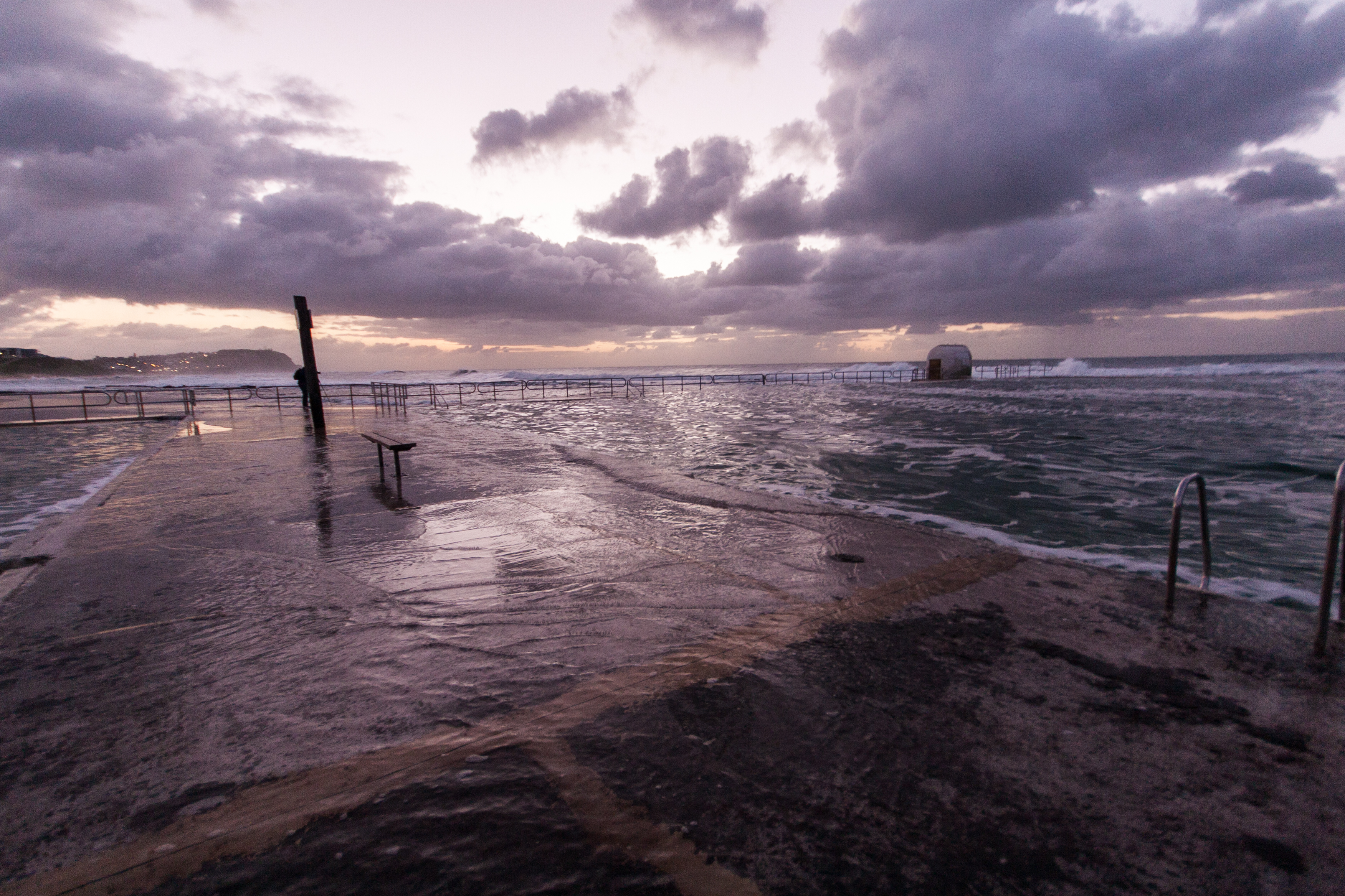
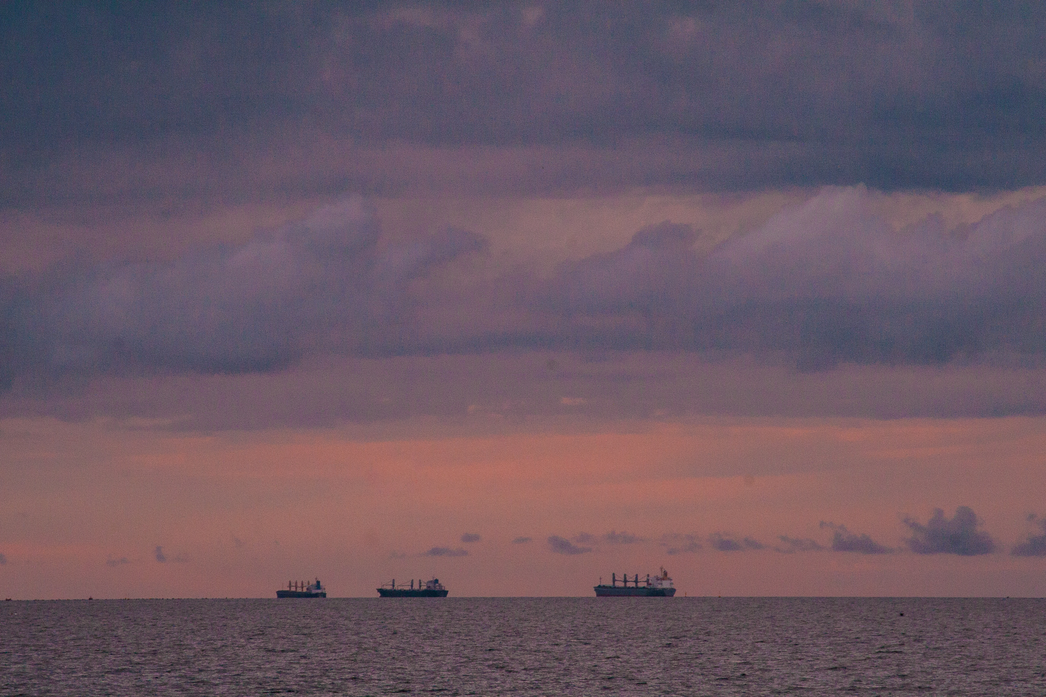
as far as the eye can see
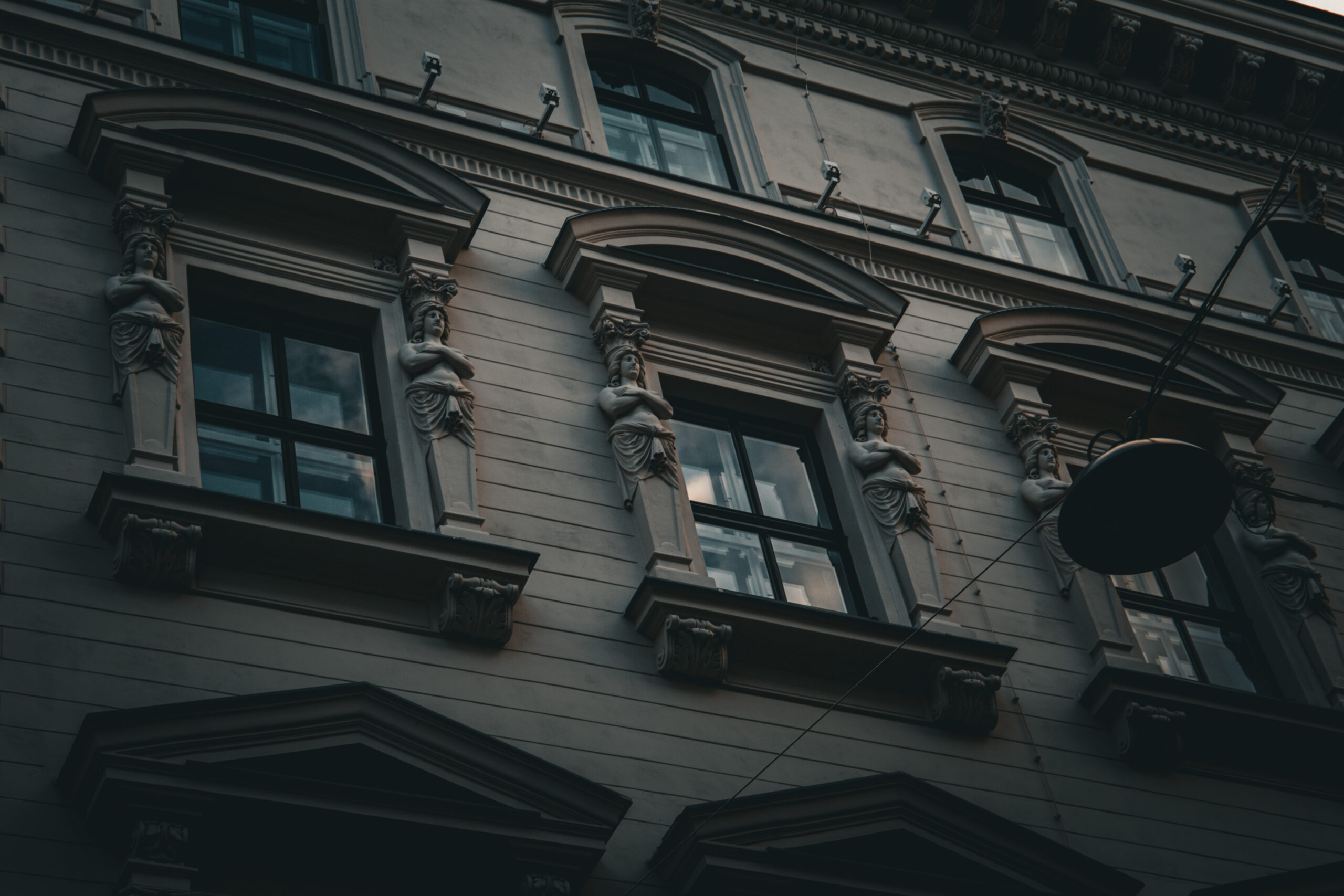
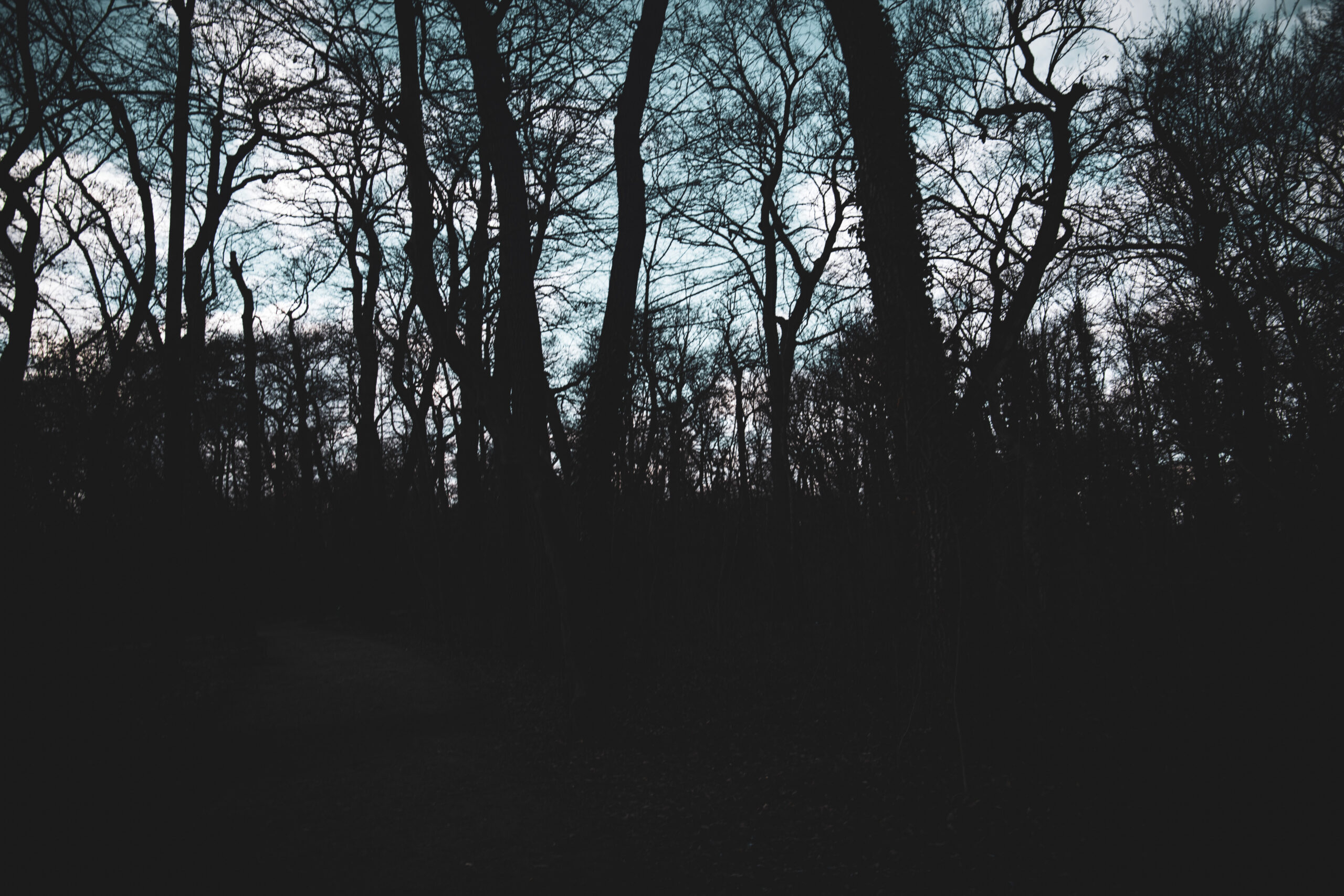
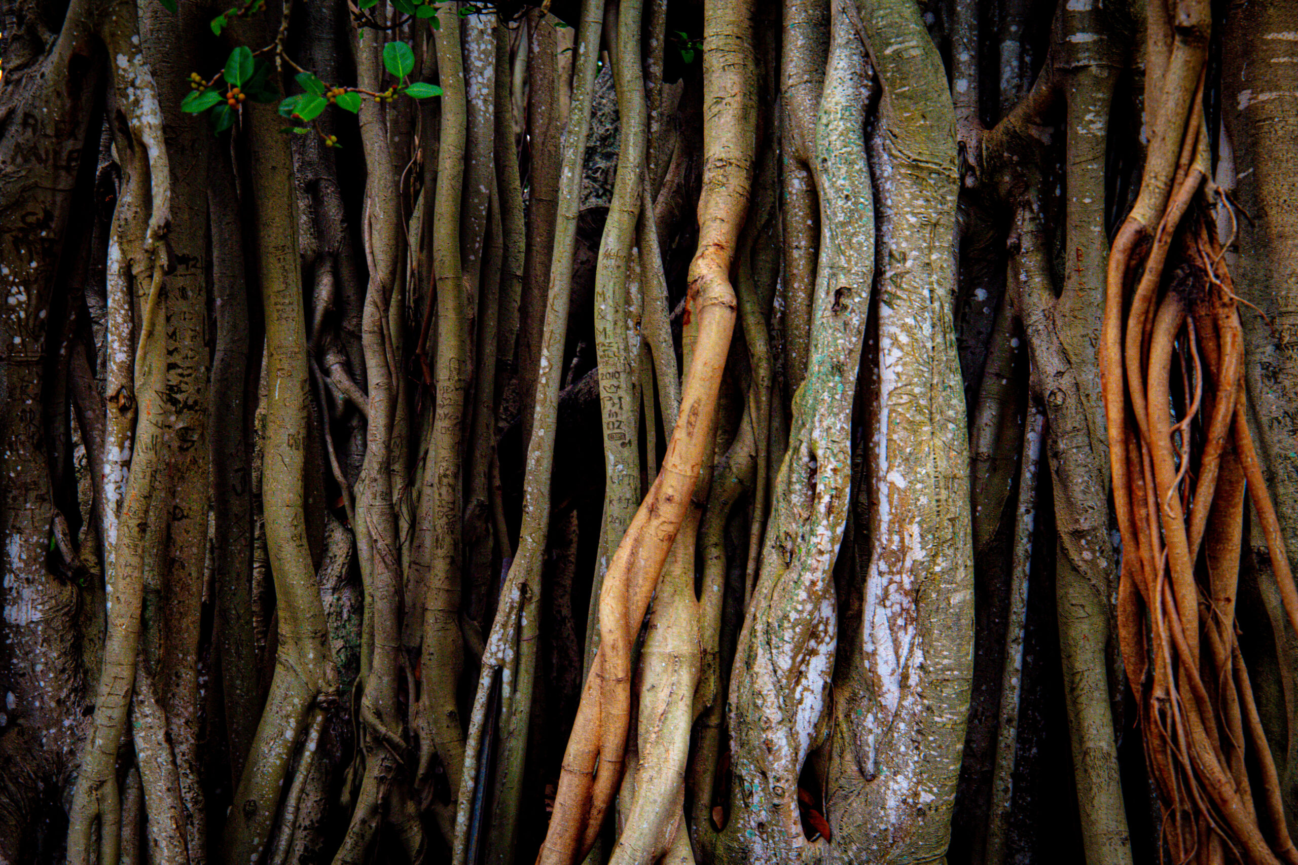
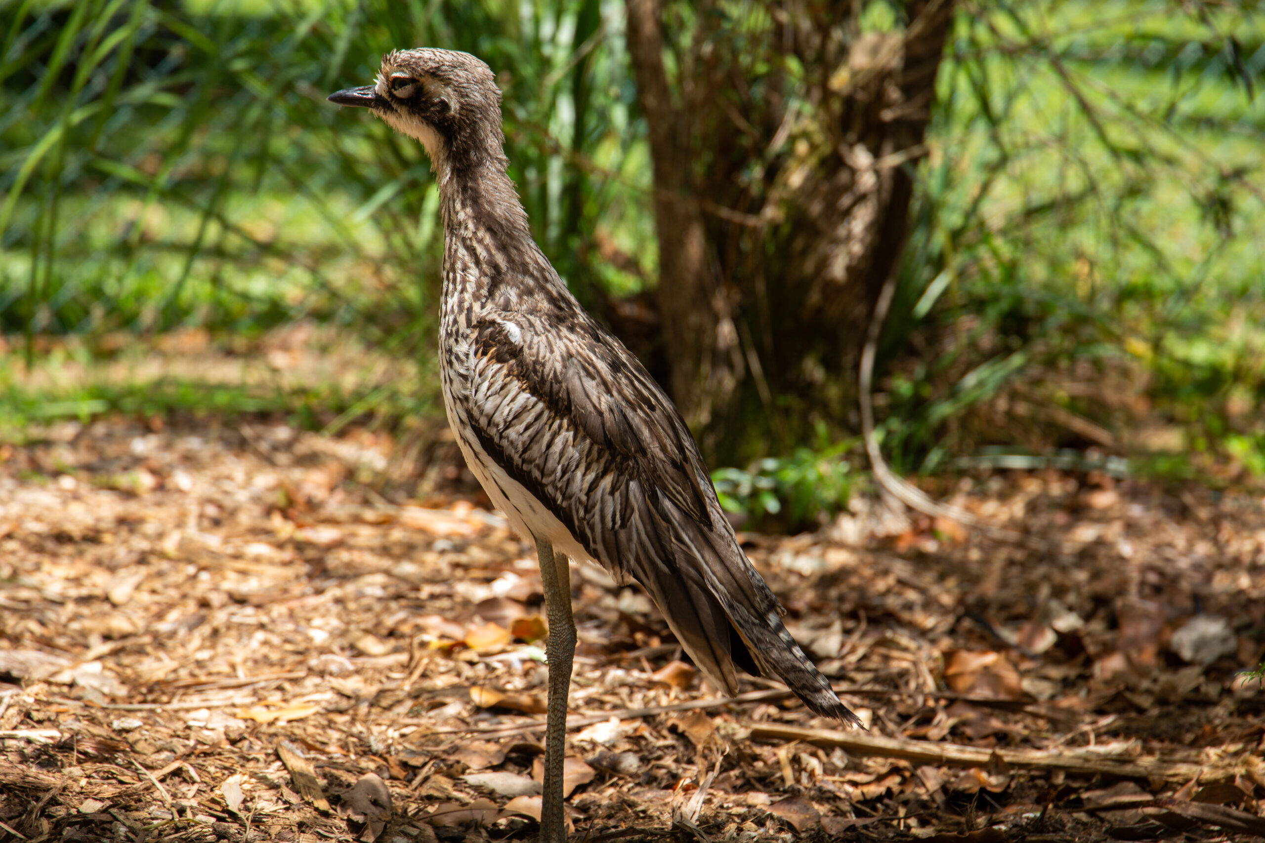
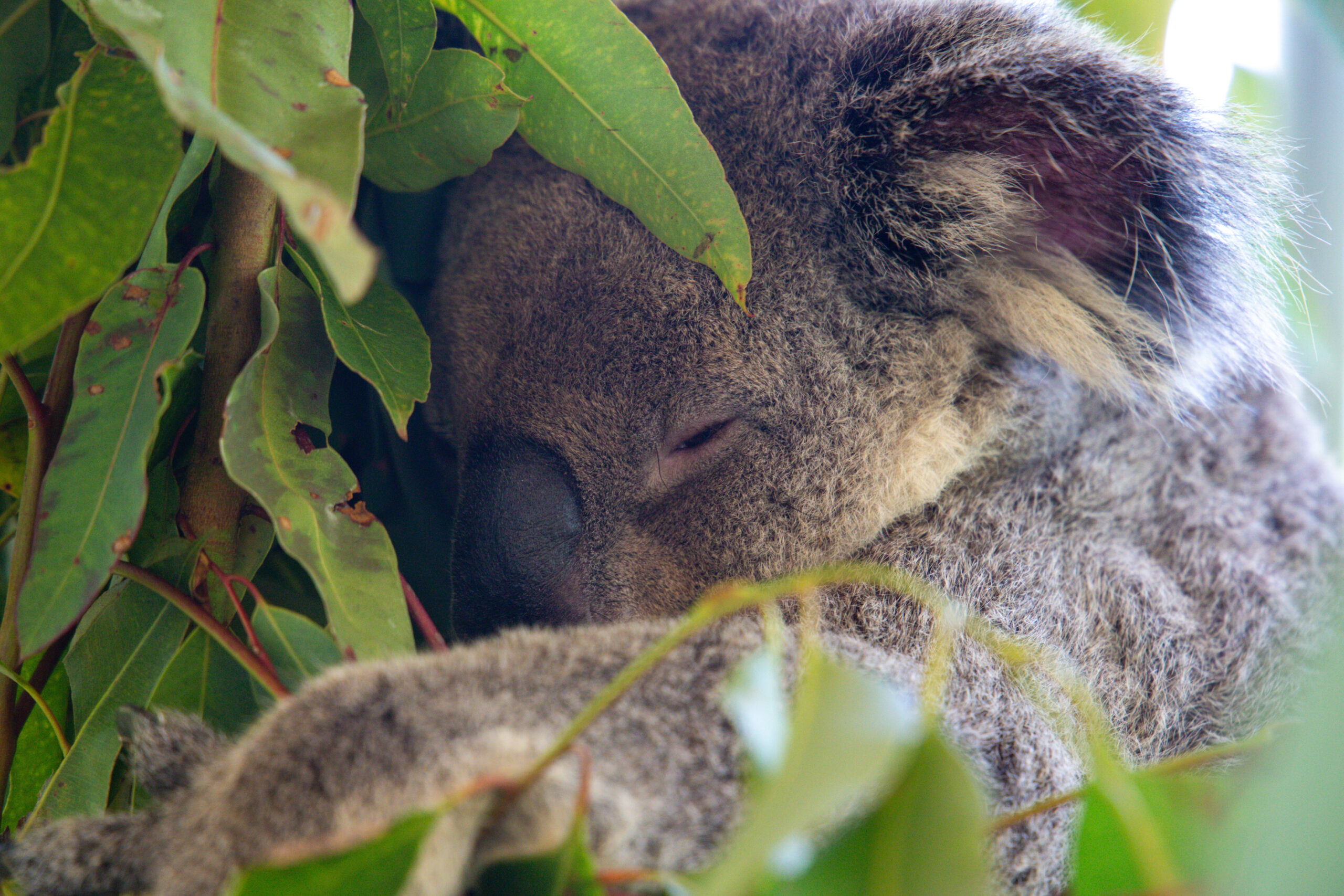
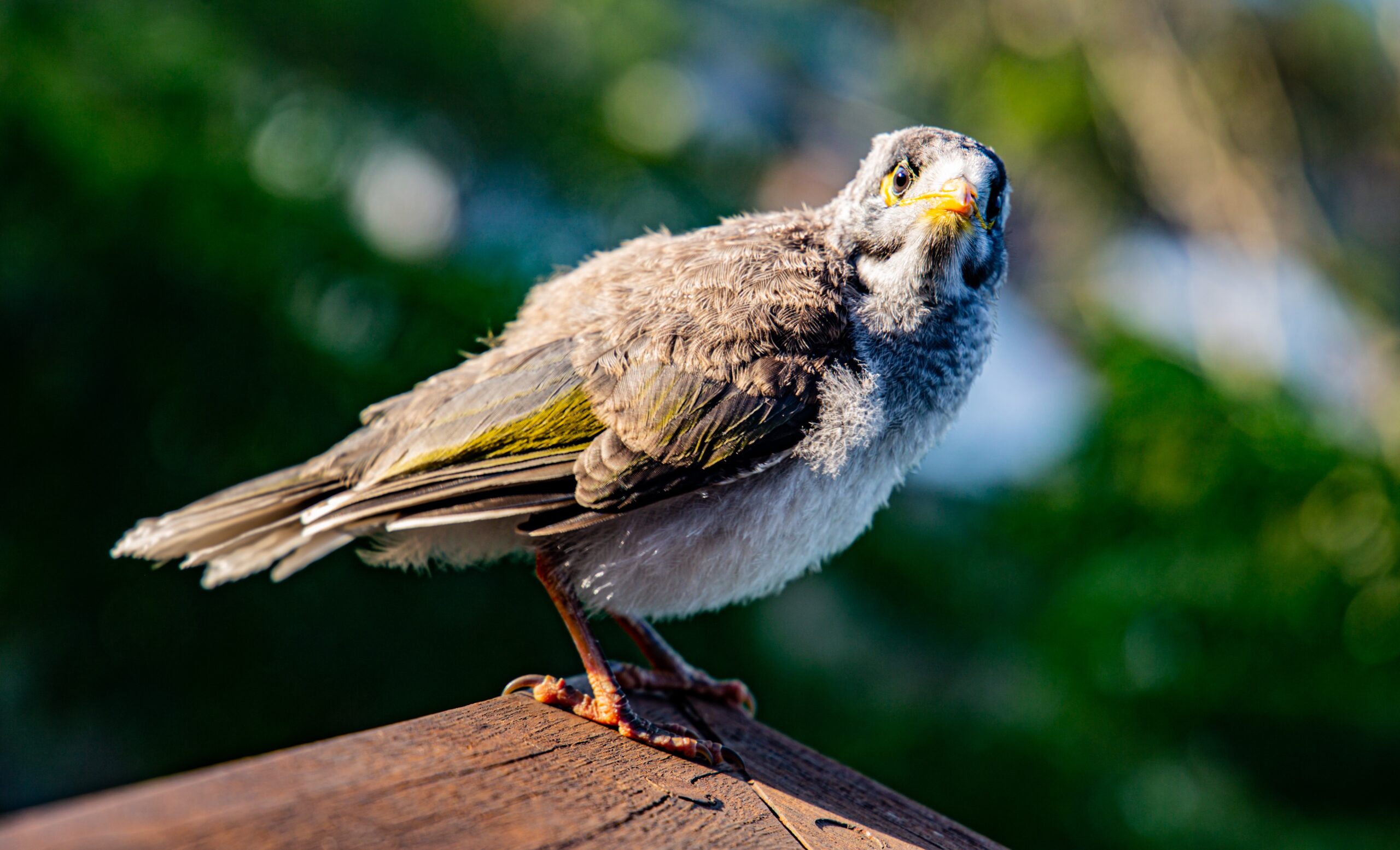
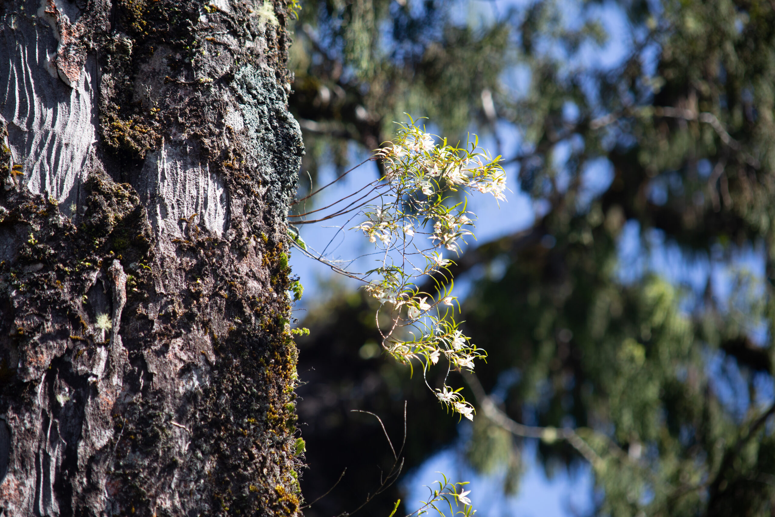
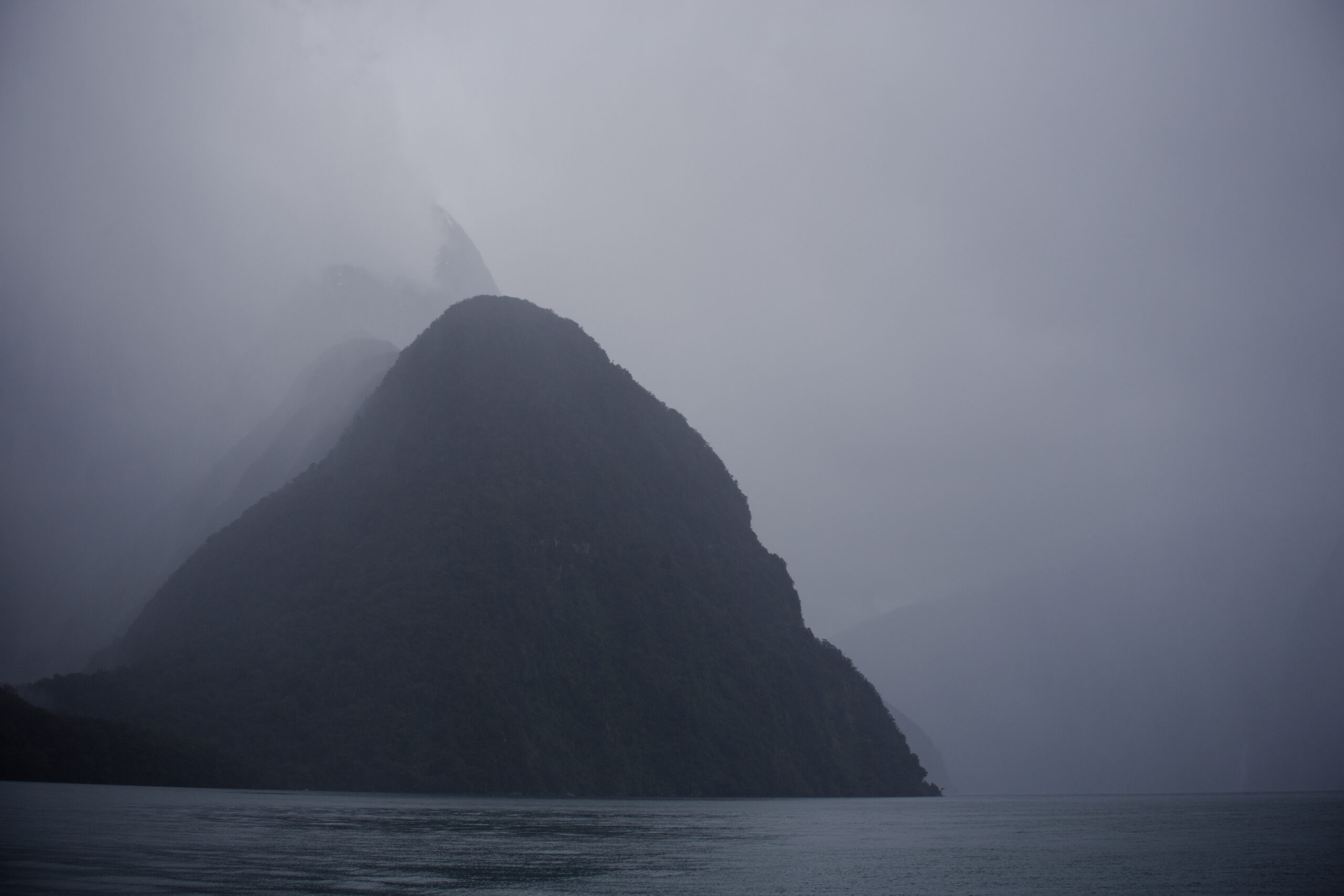
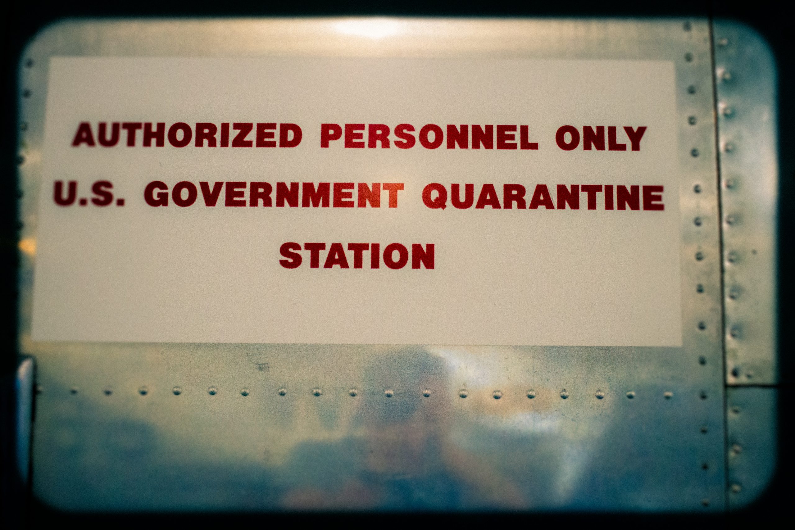
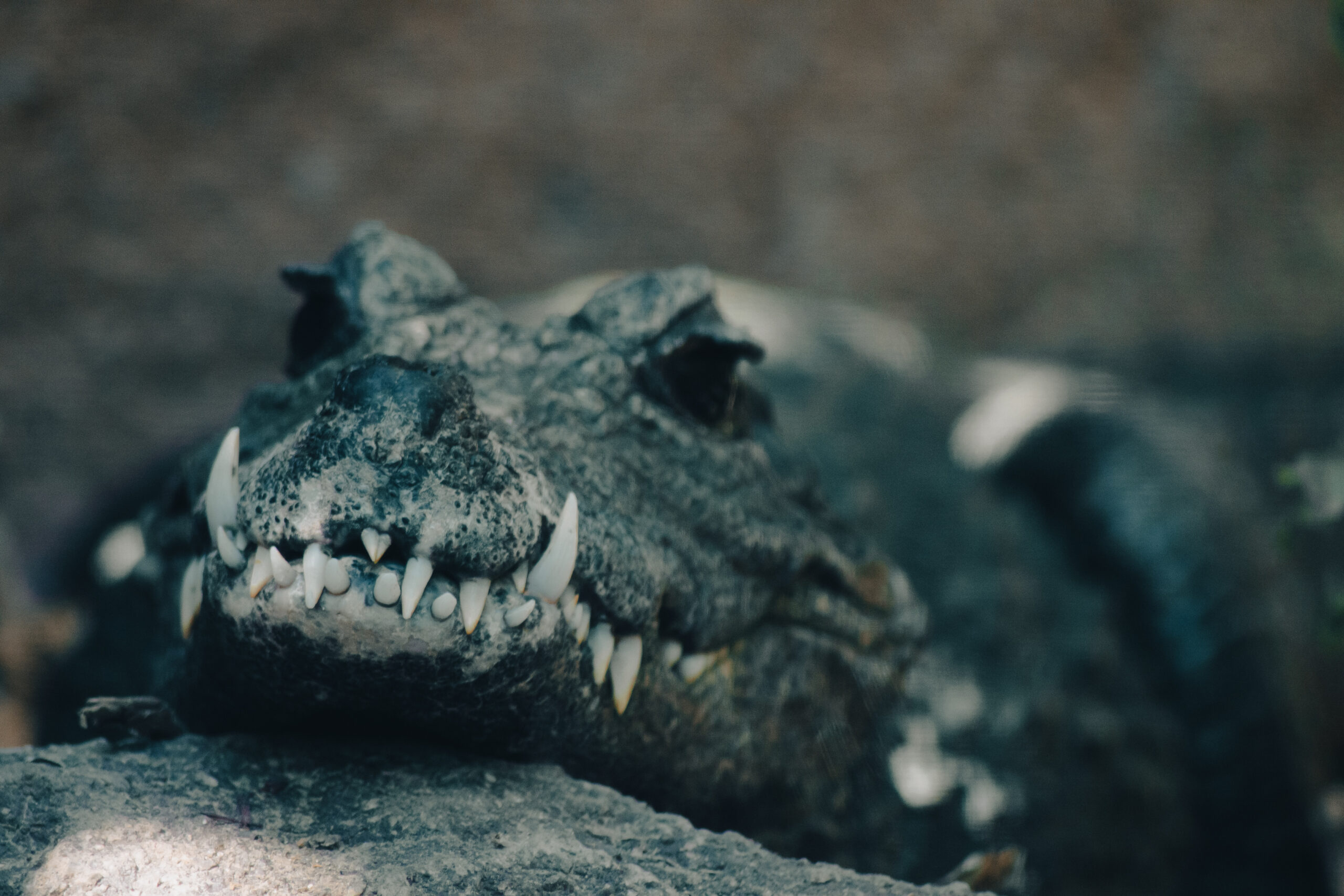
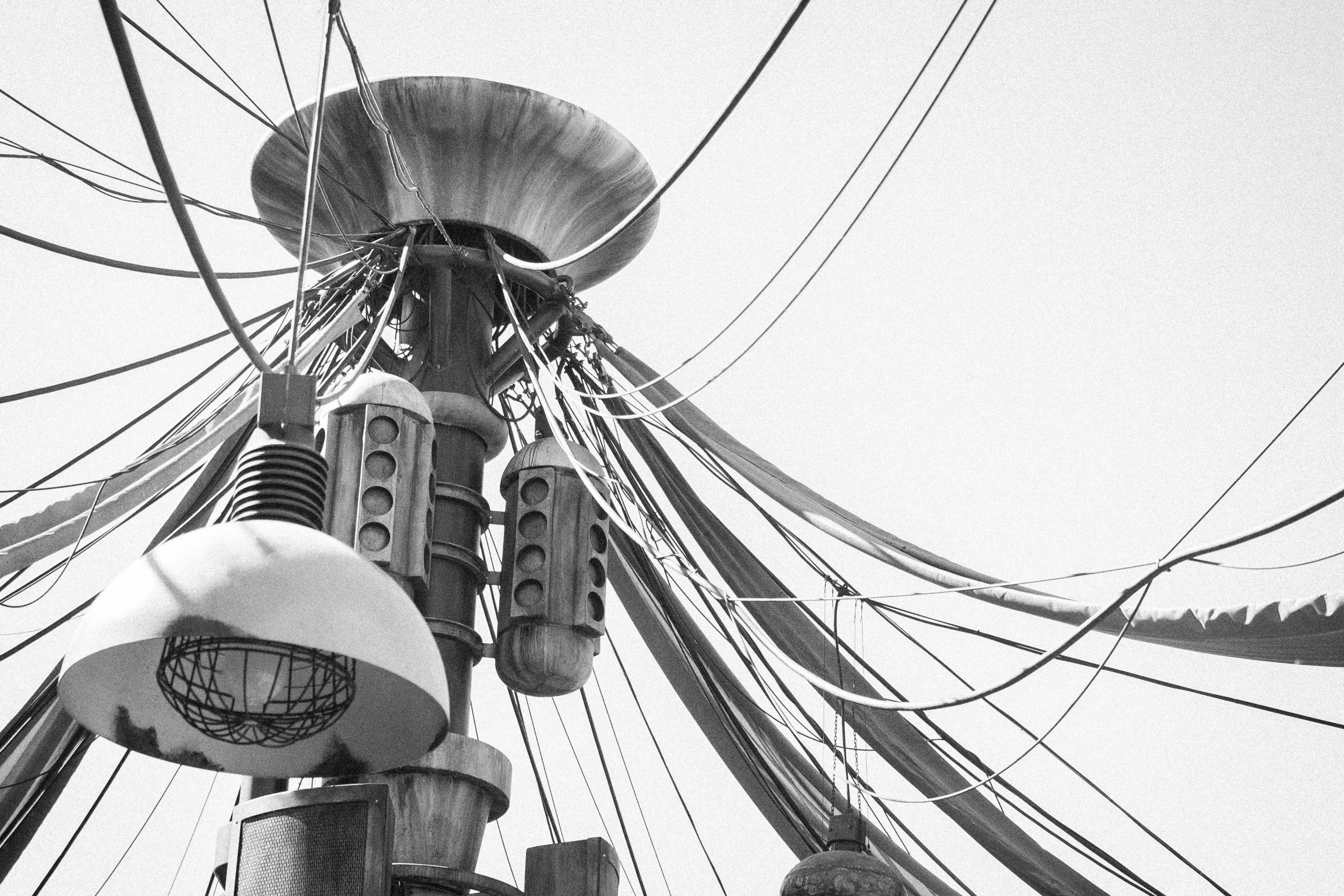
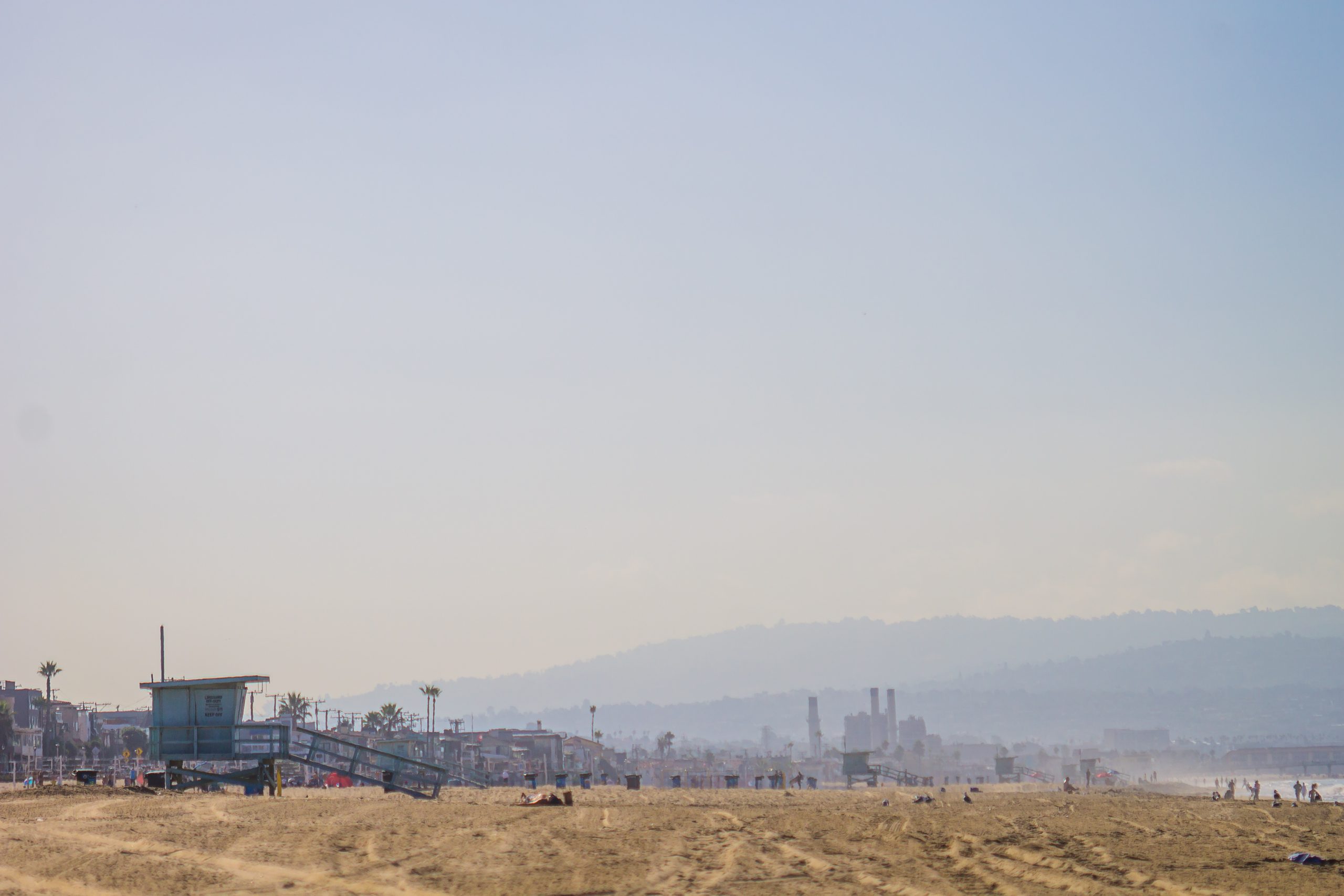
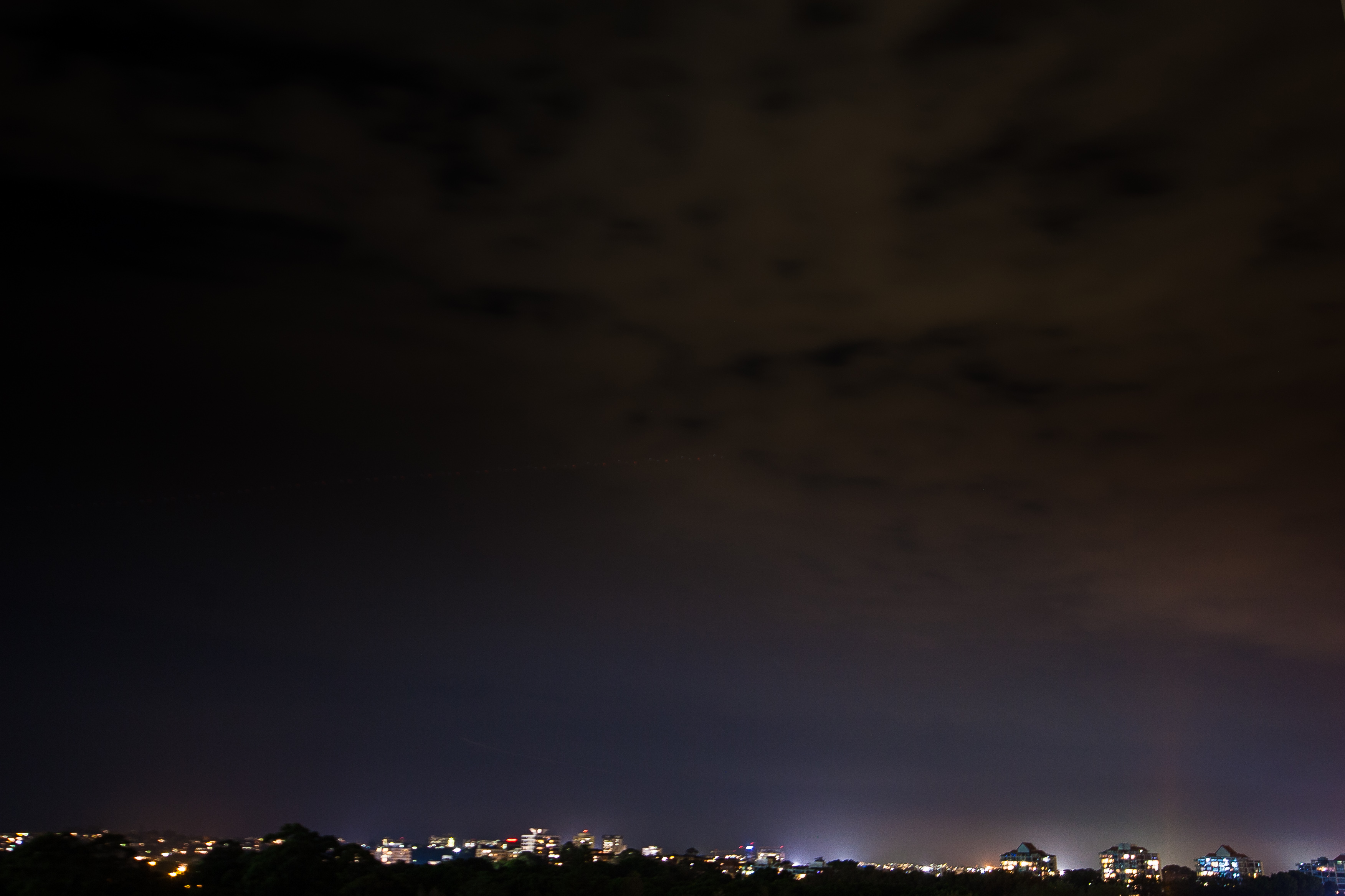
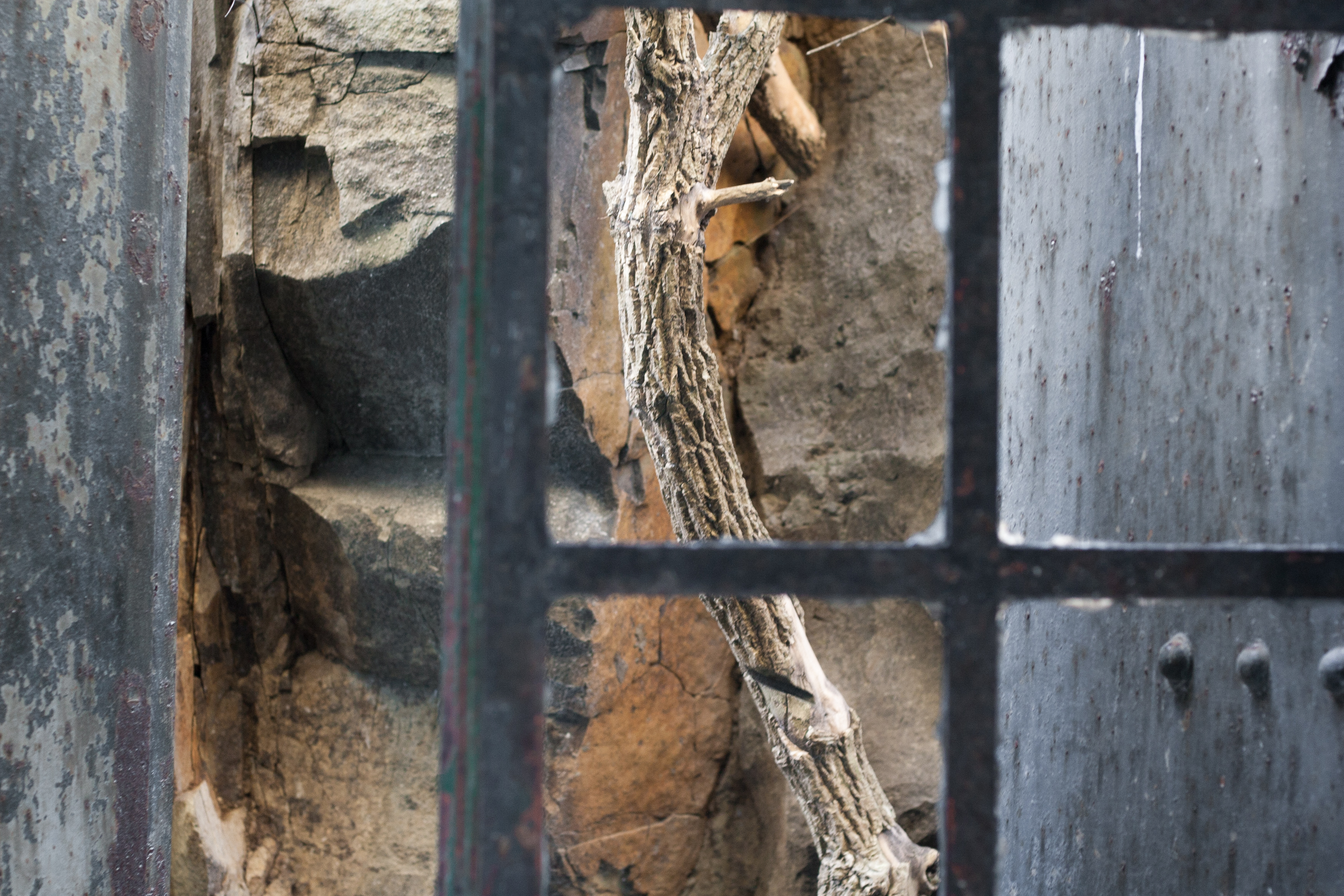
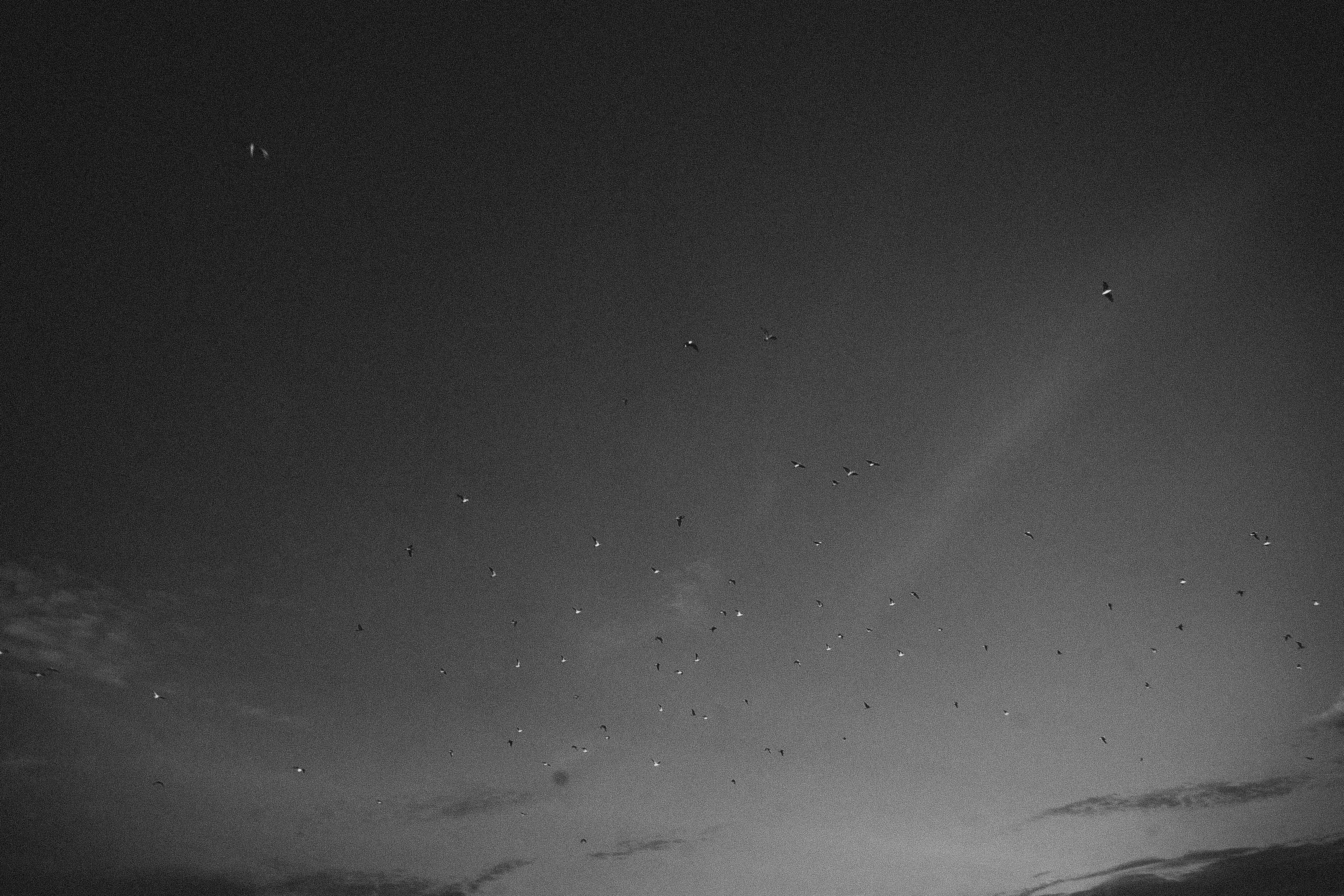
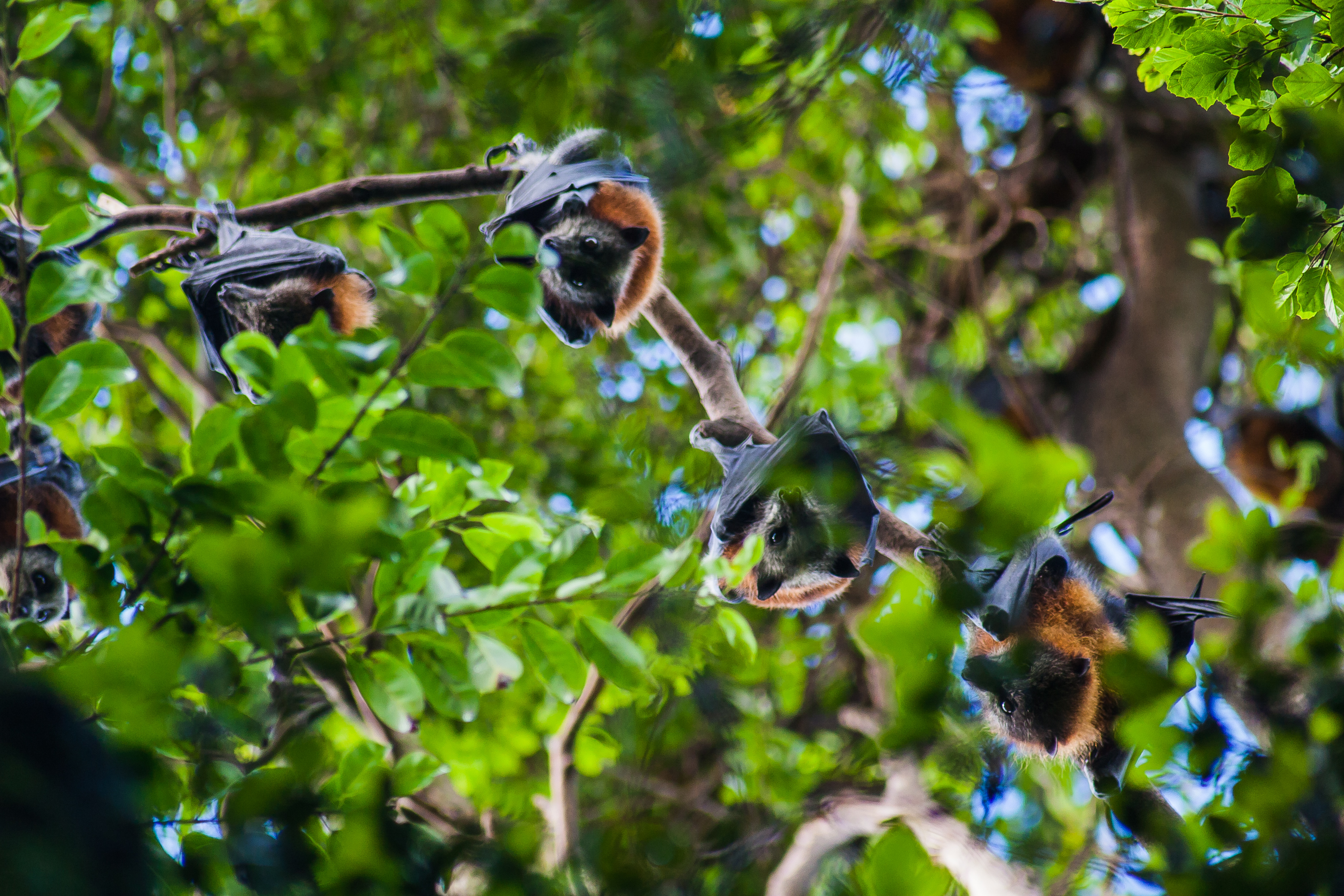
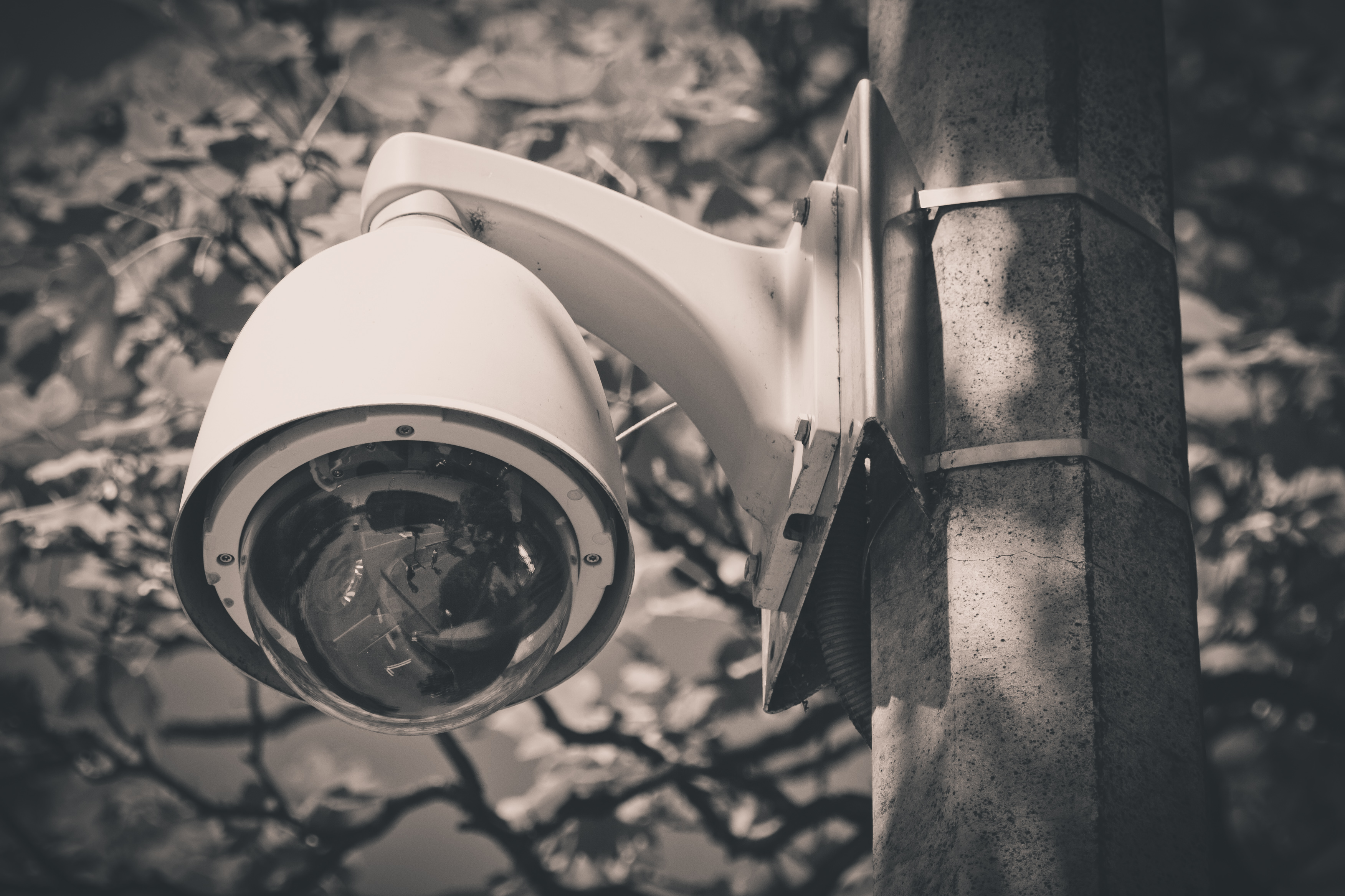
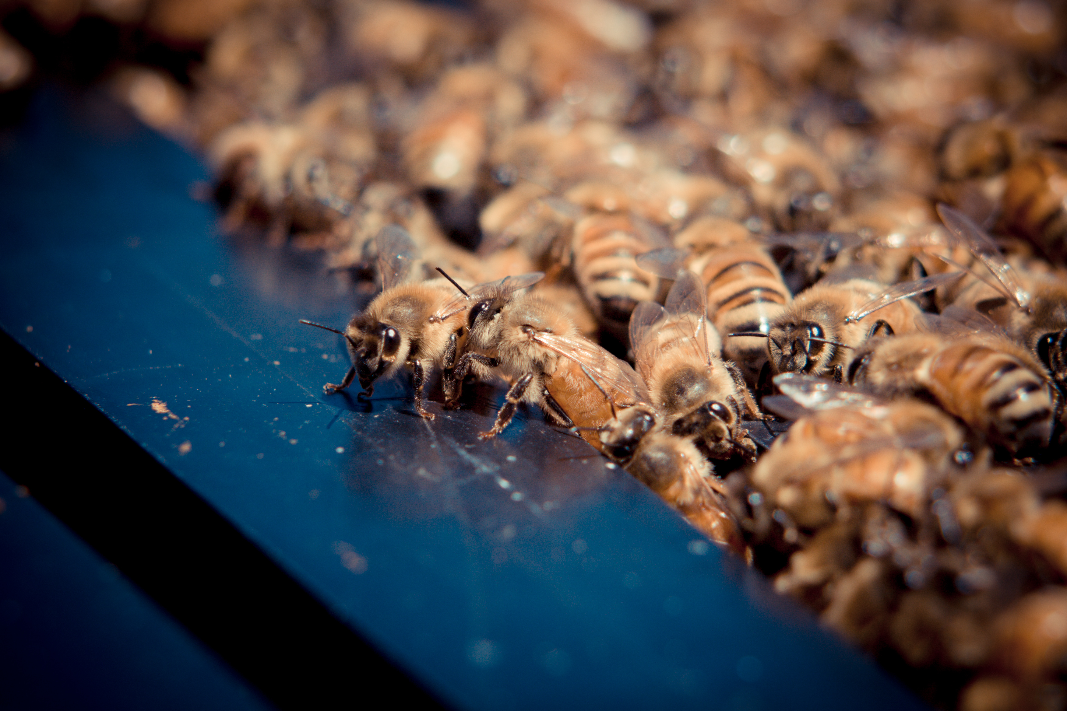
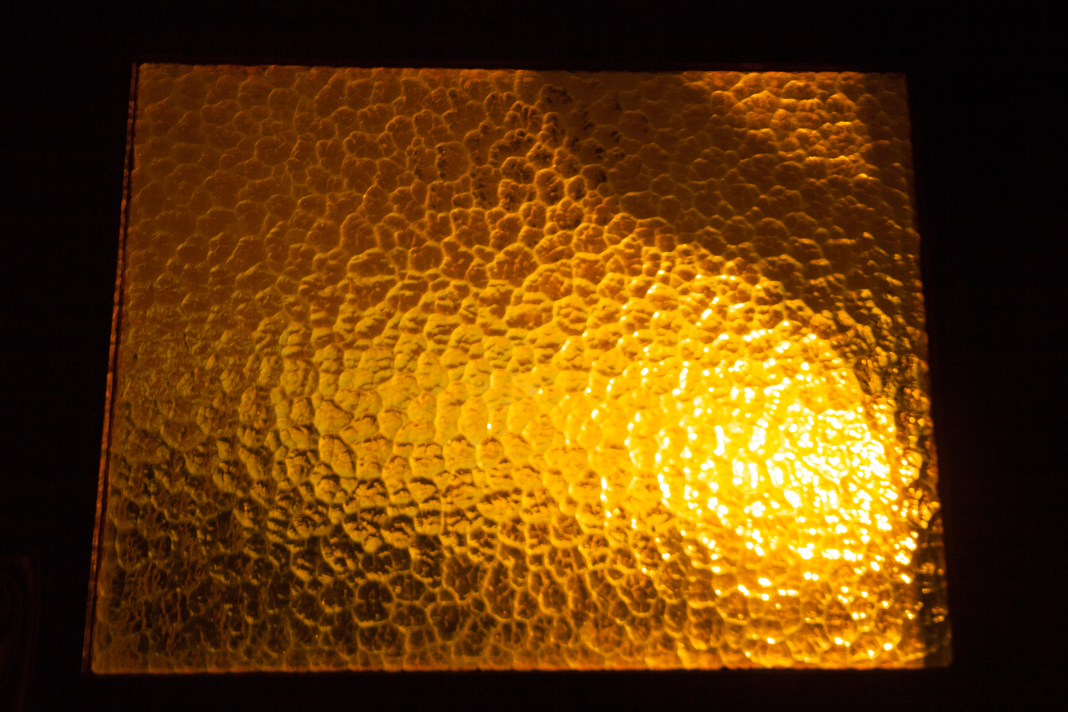
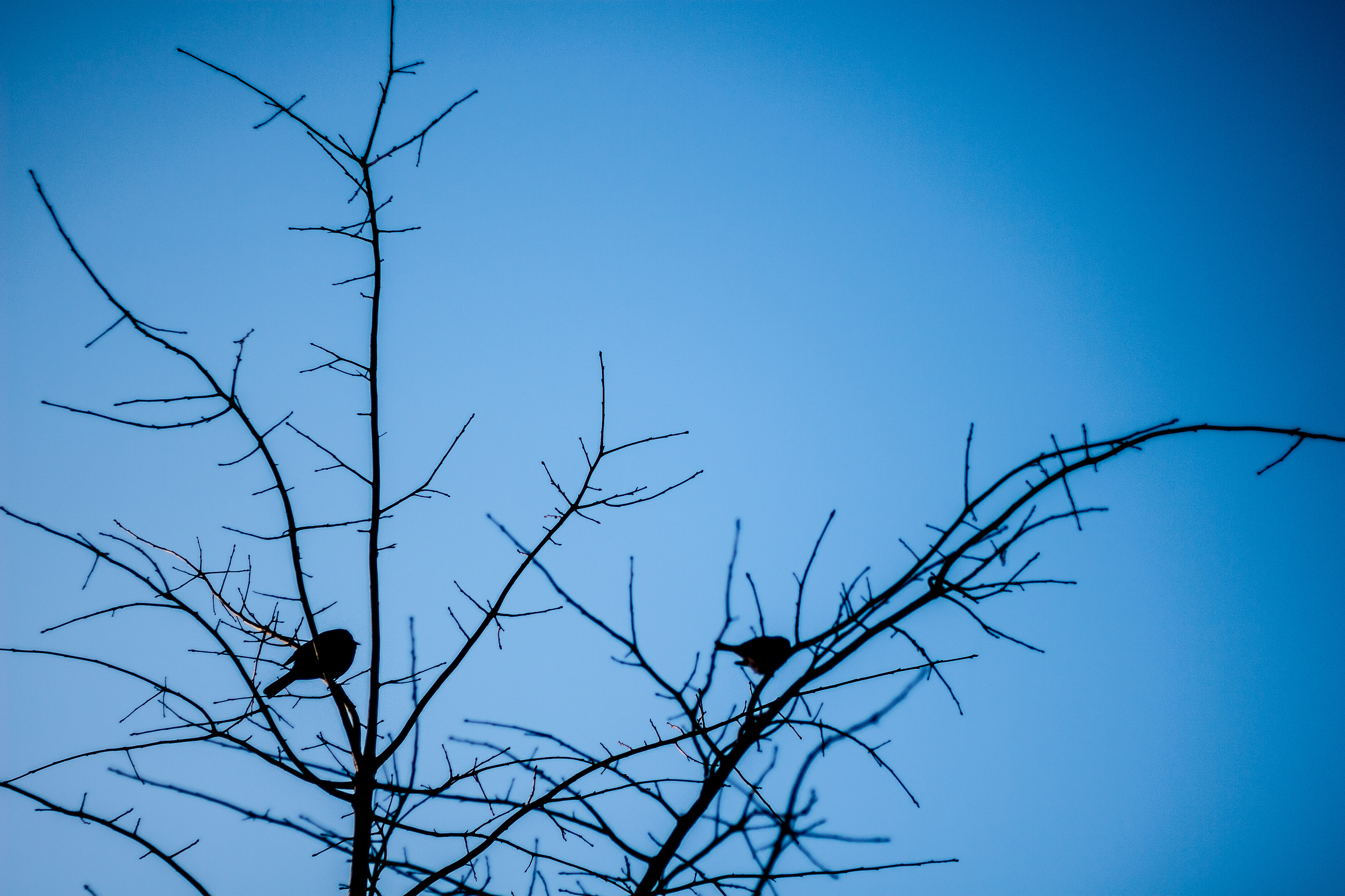
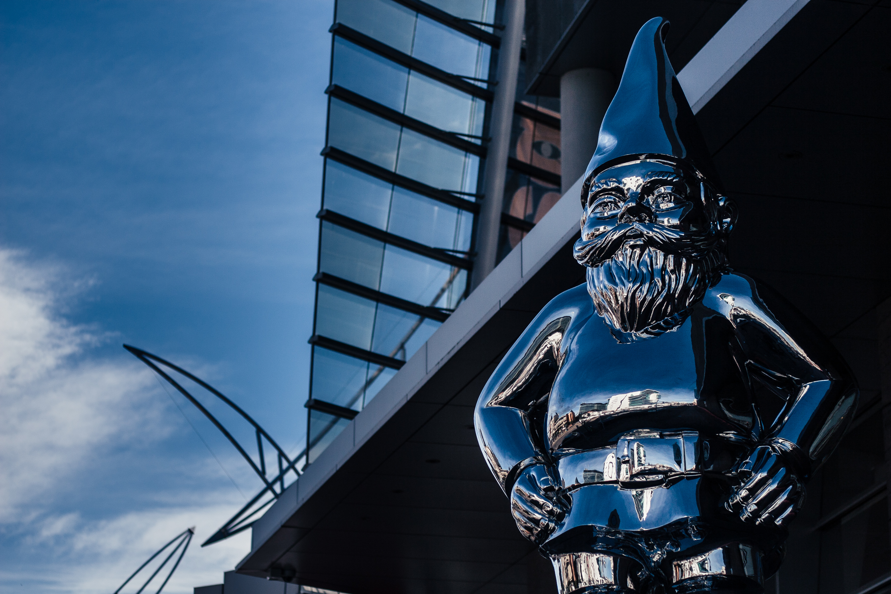
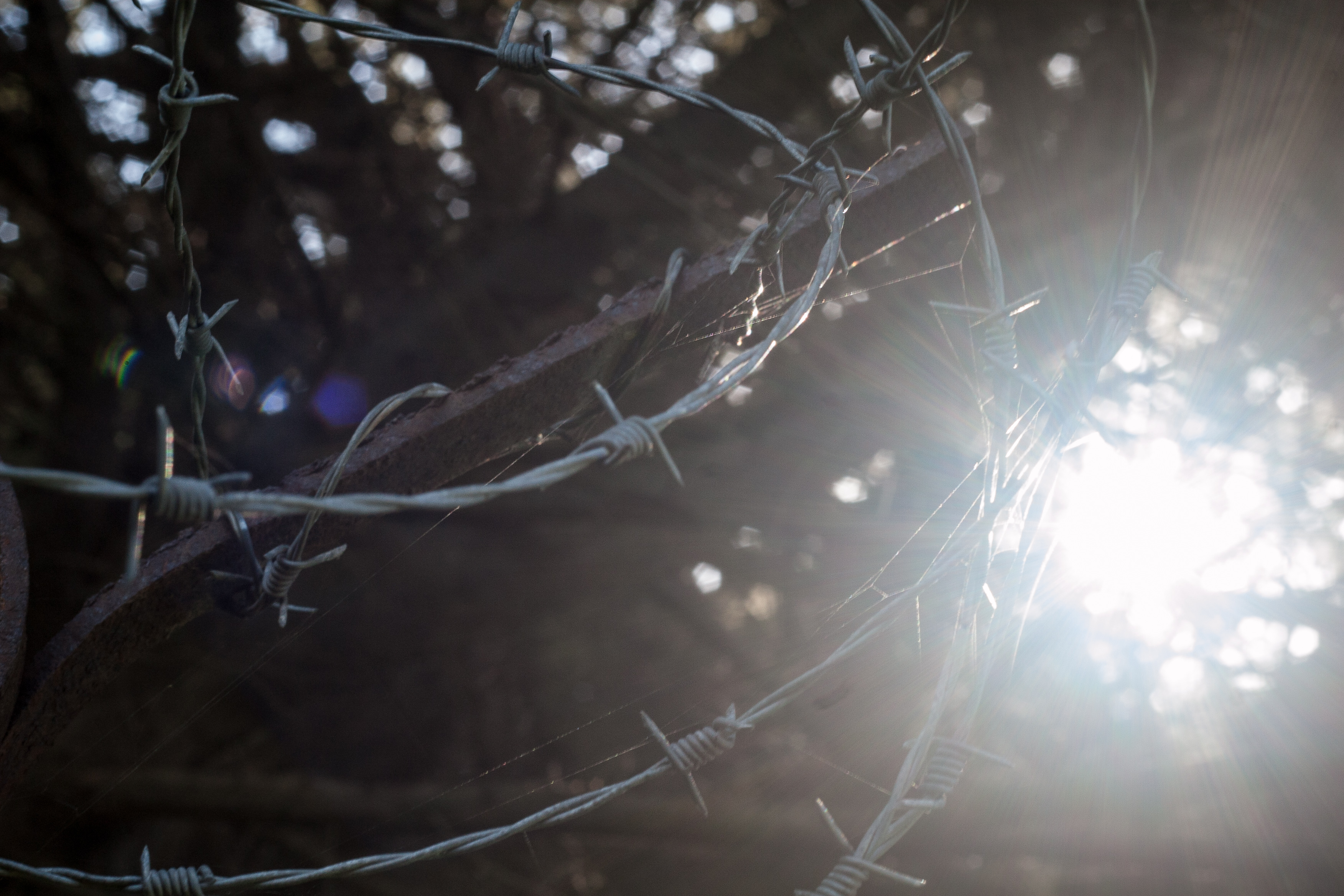
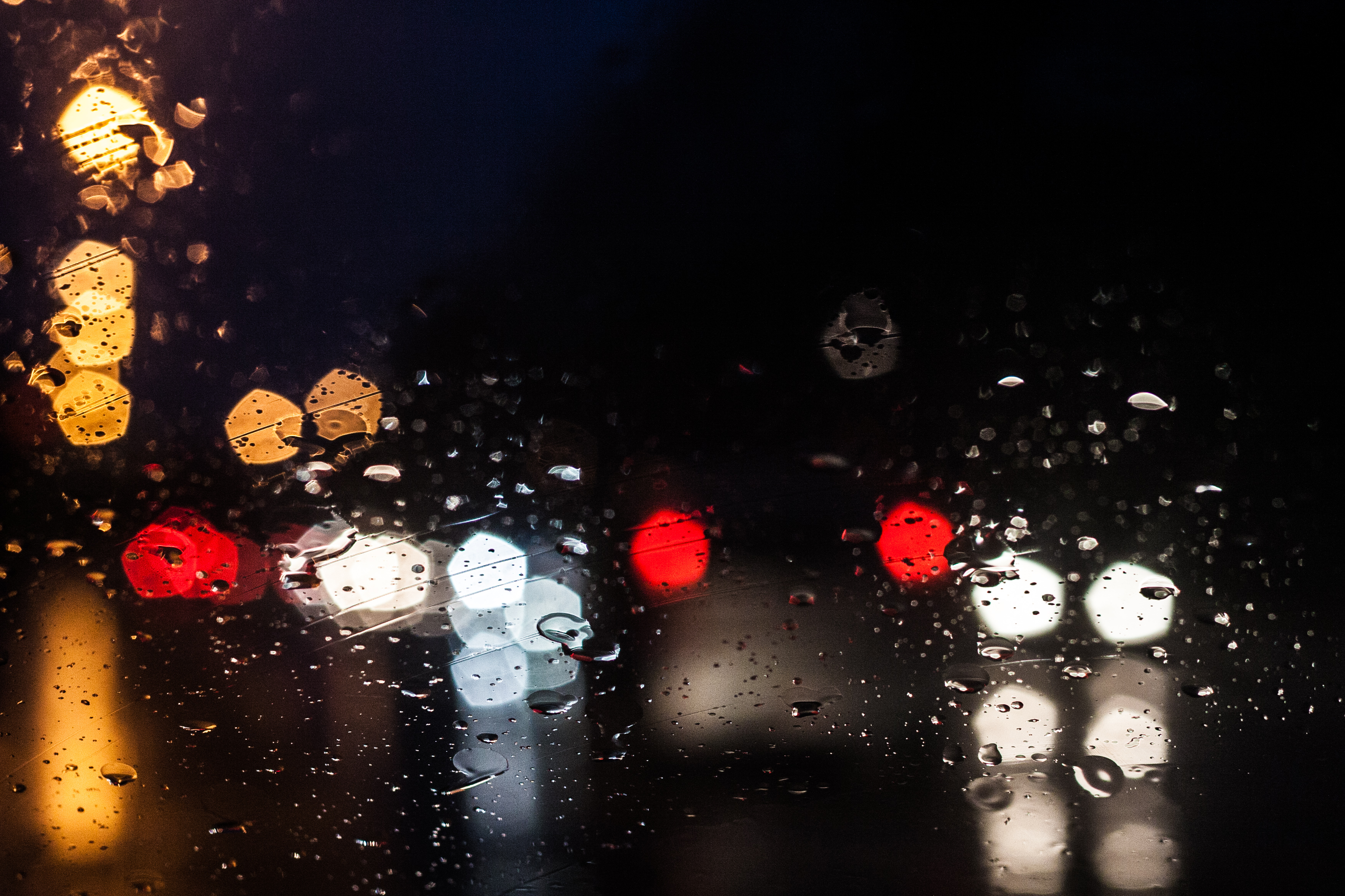
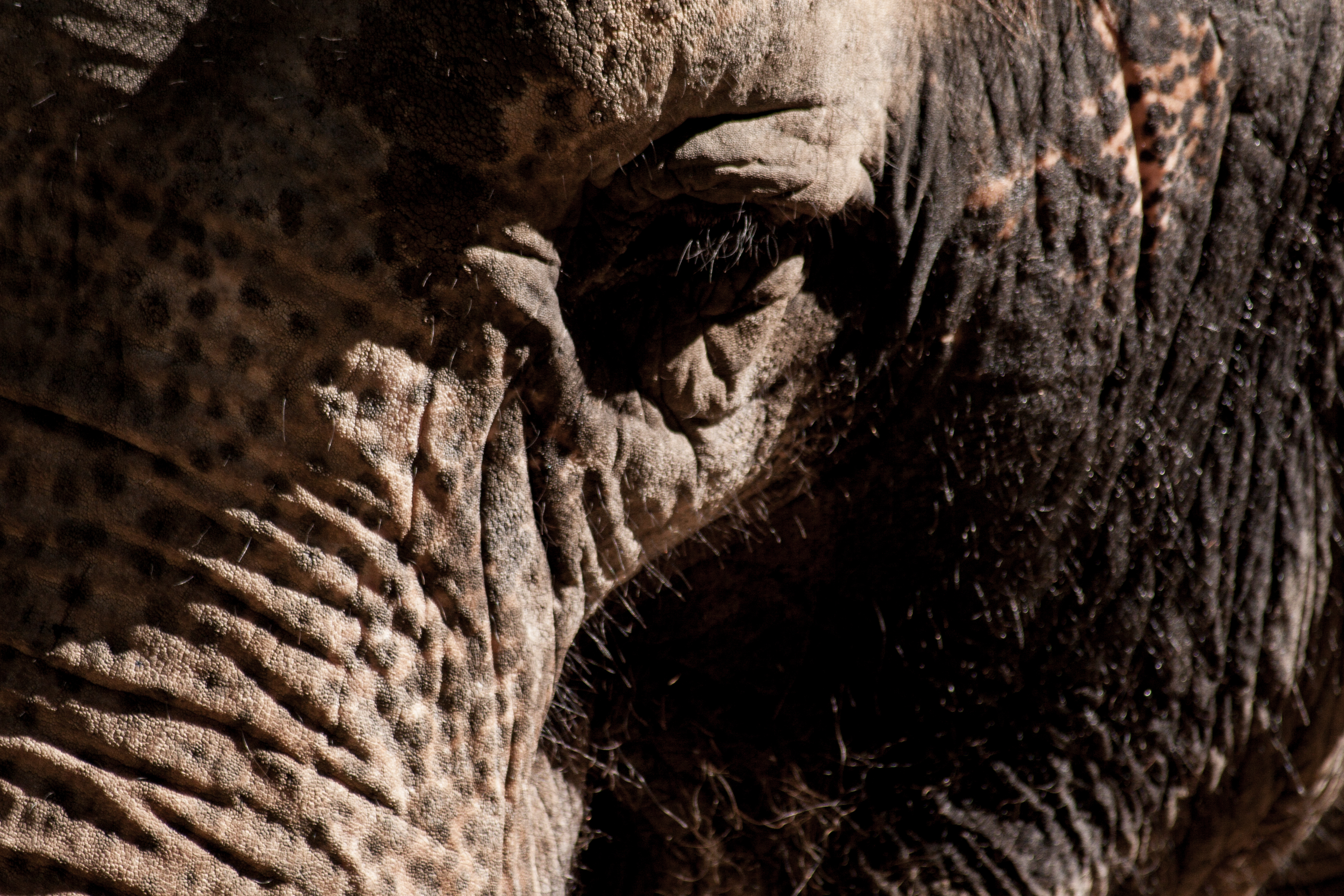
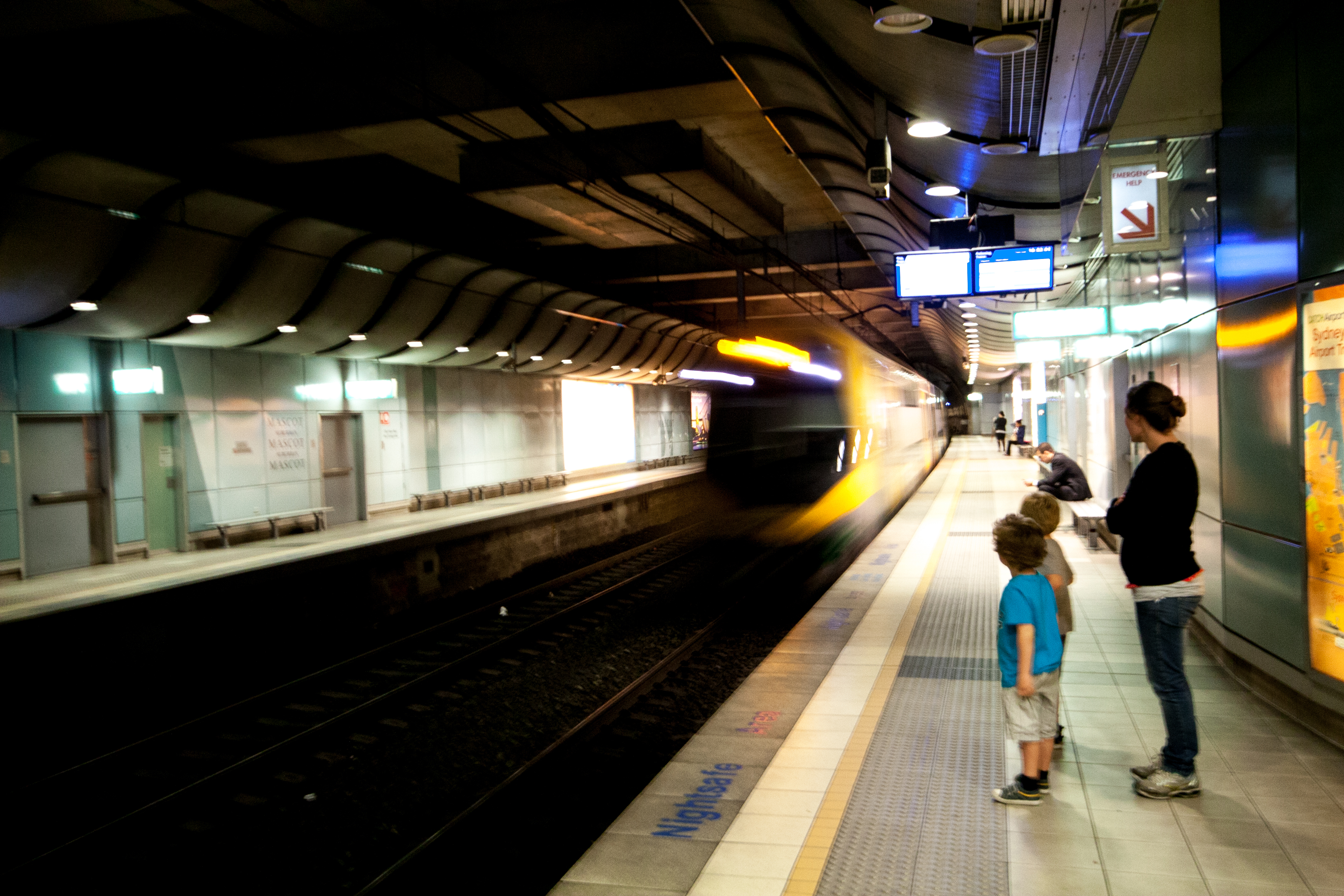
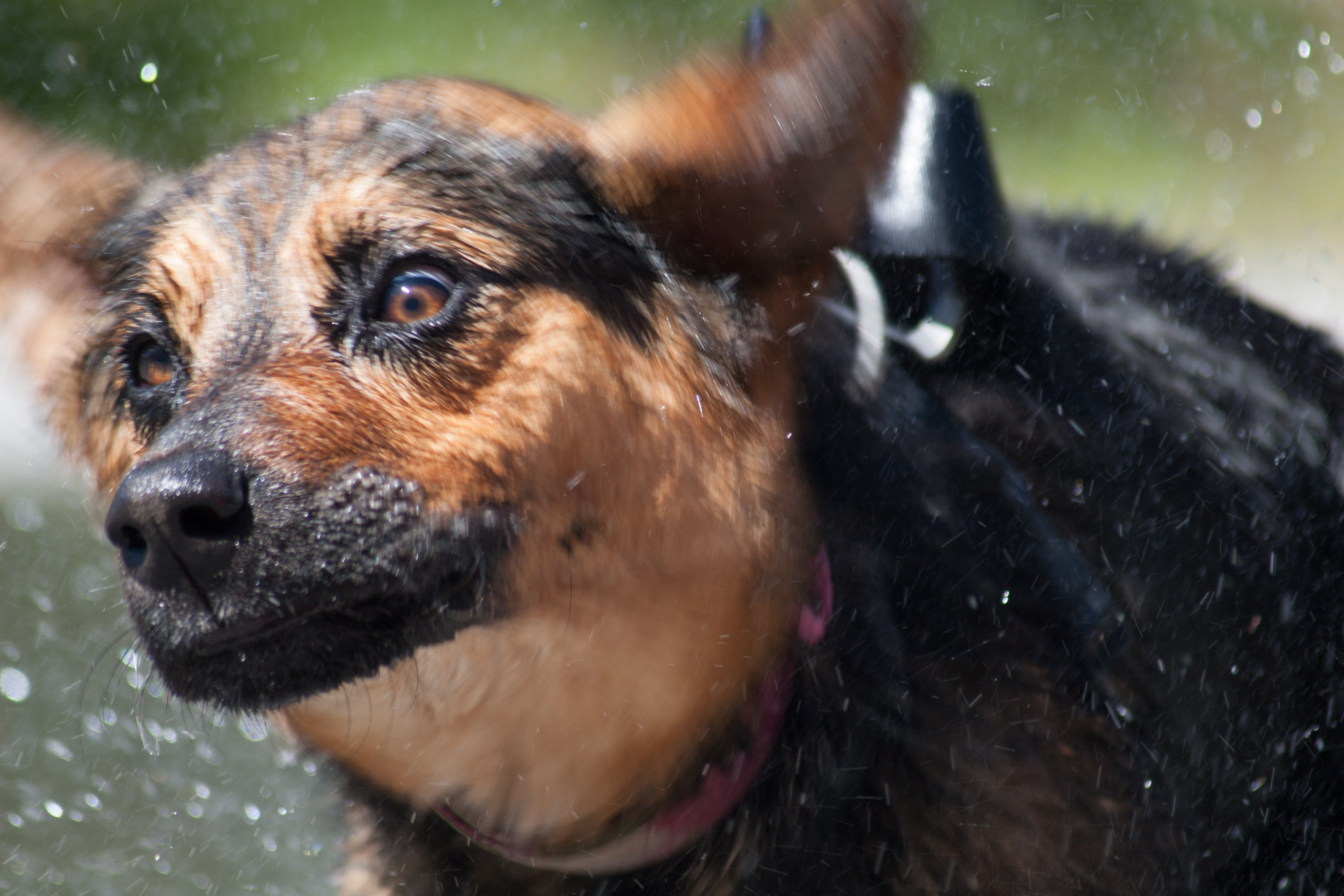
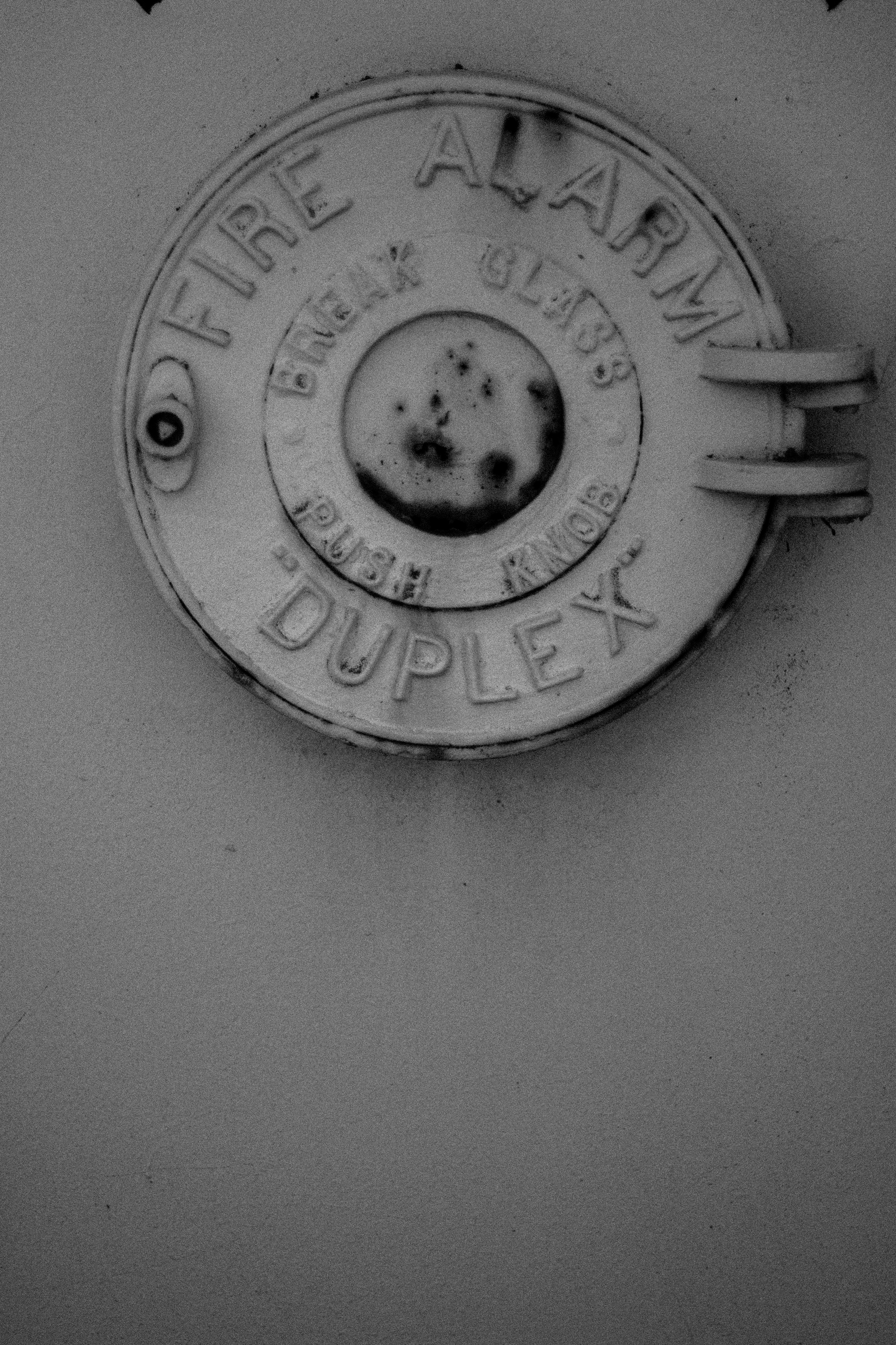
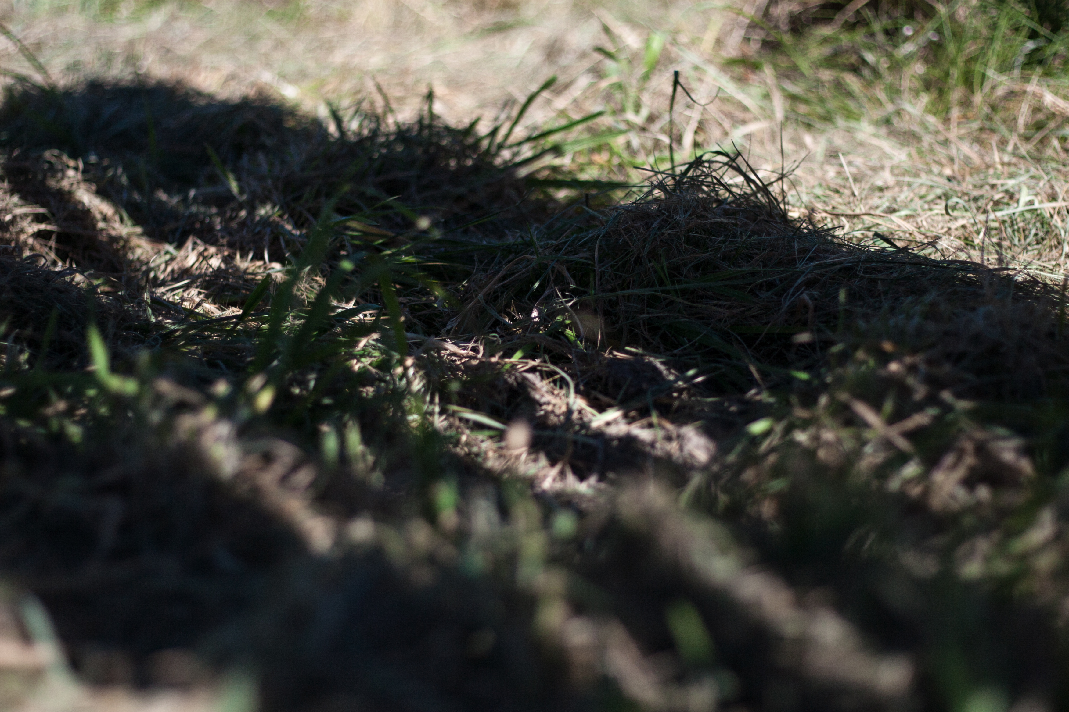
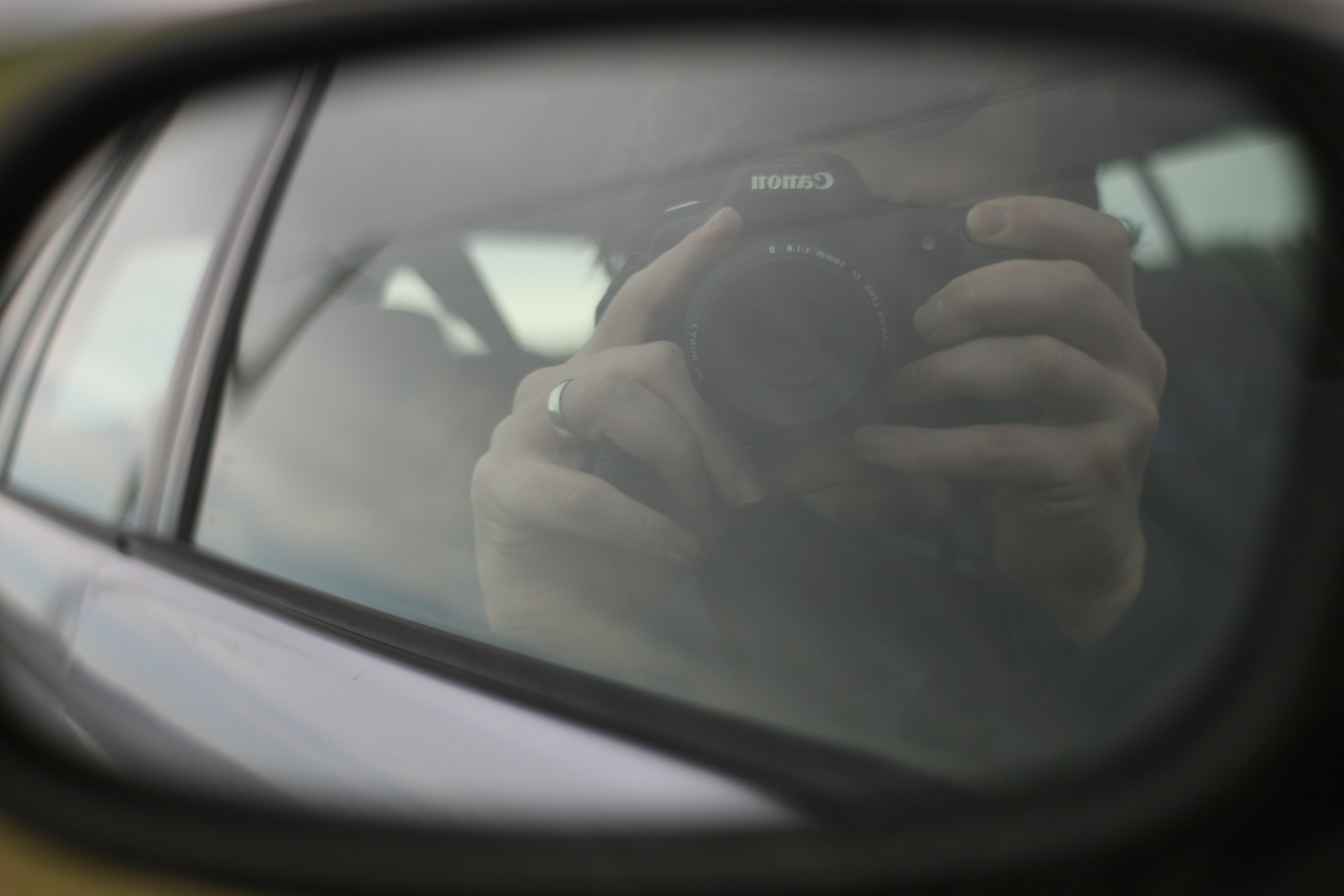
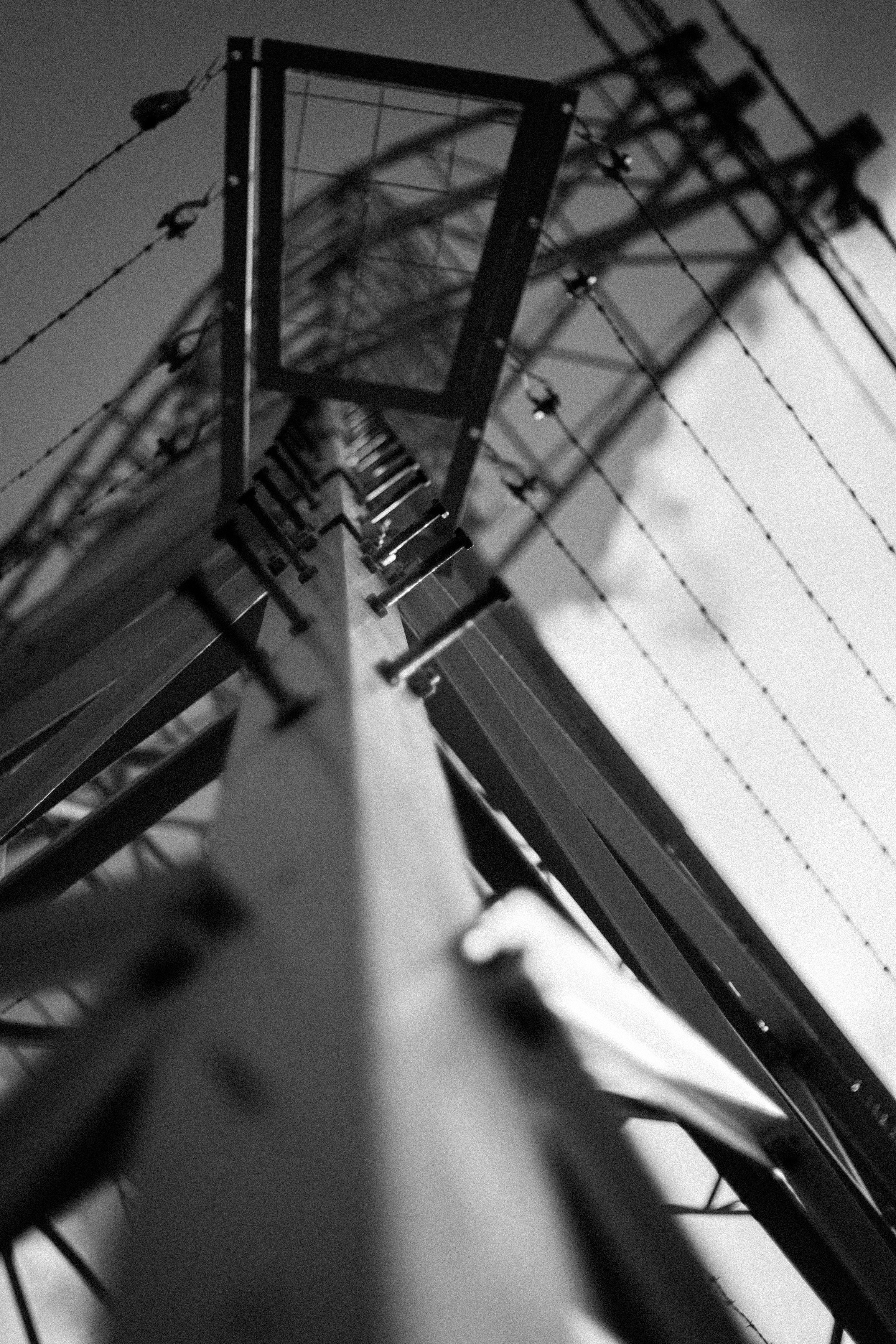
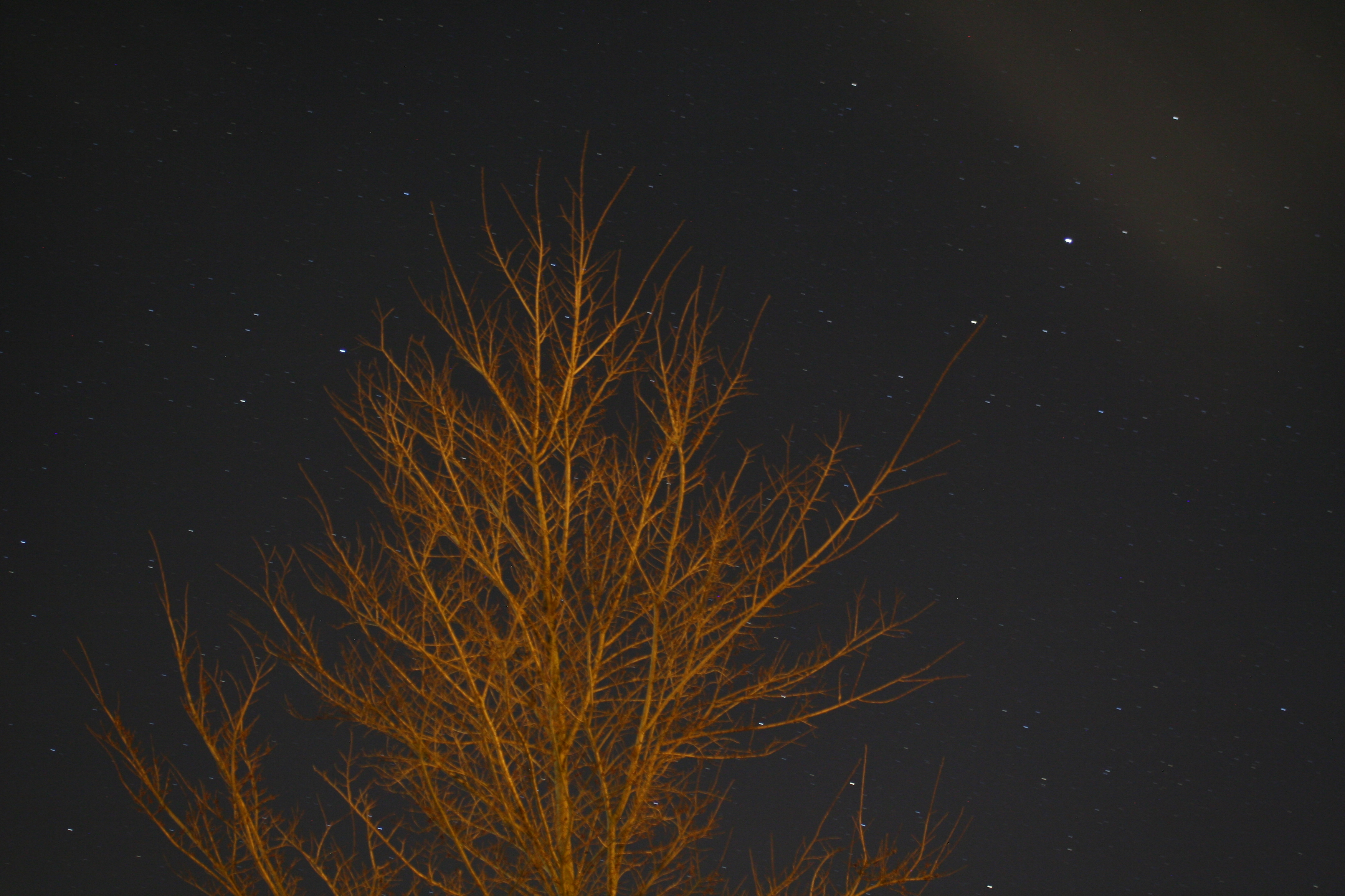
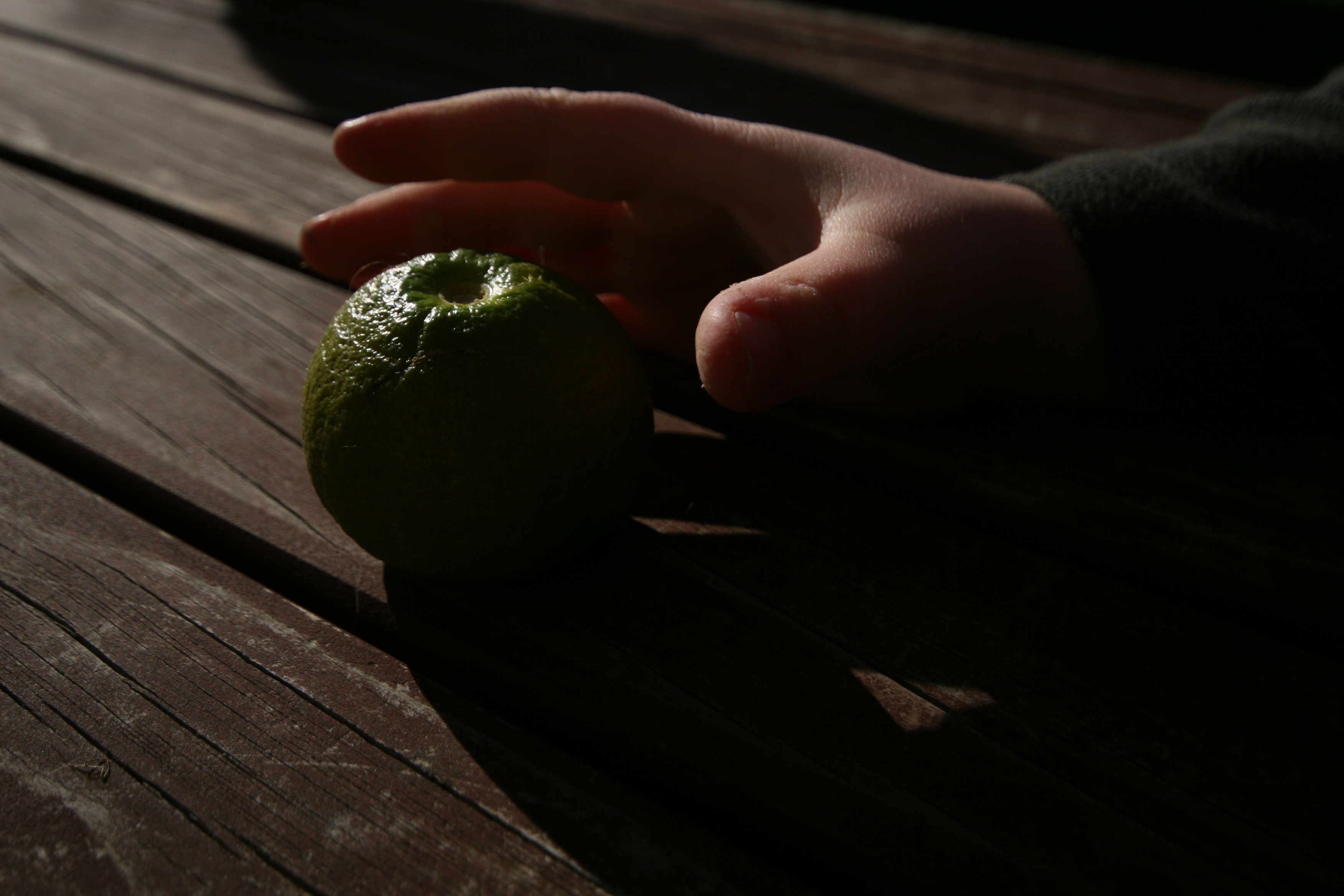
feeling your being watched
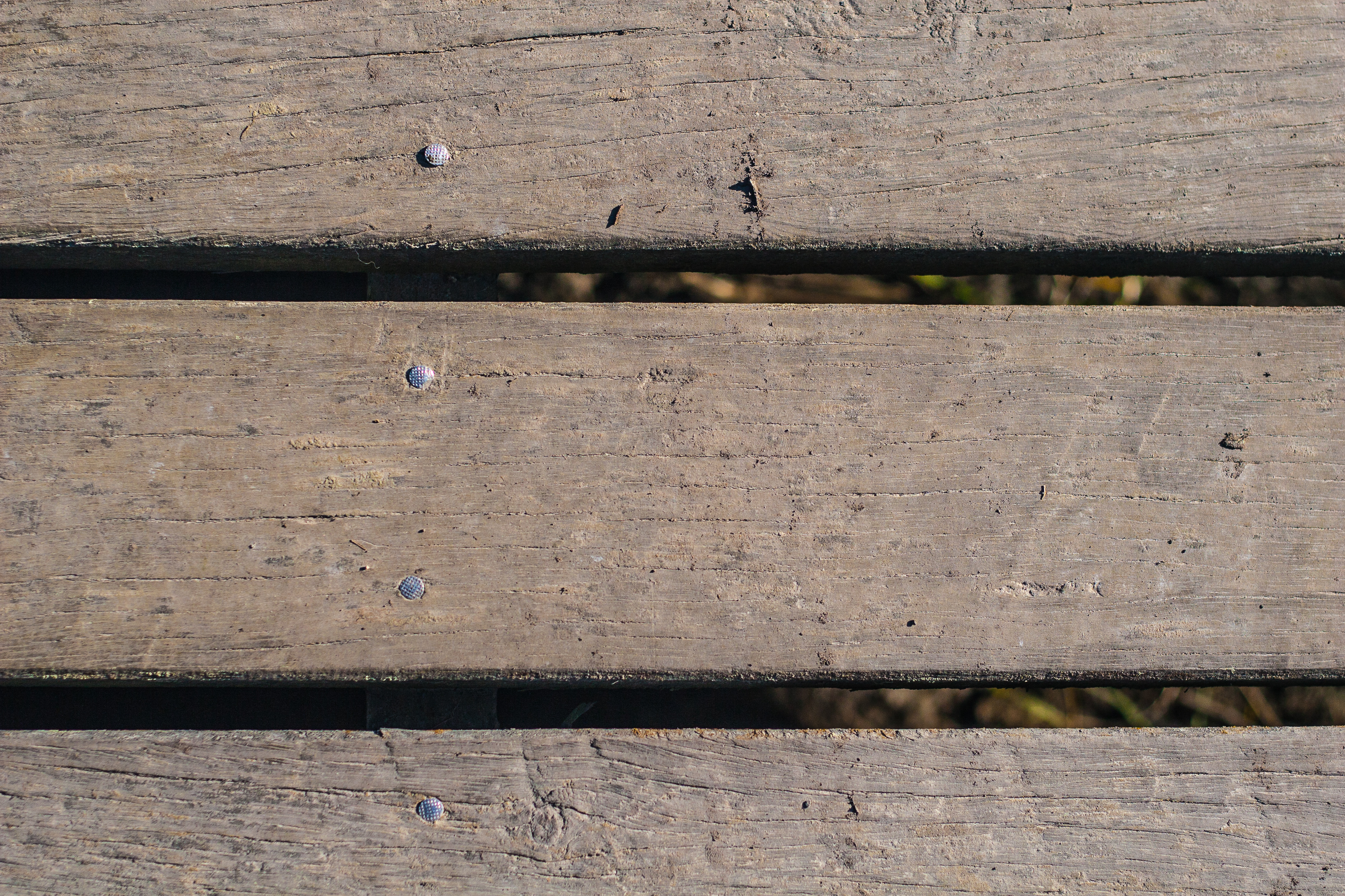
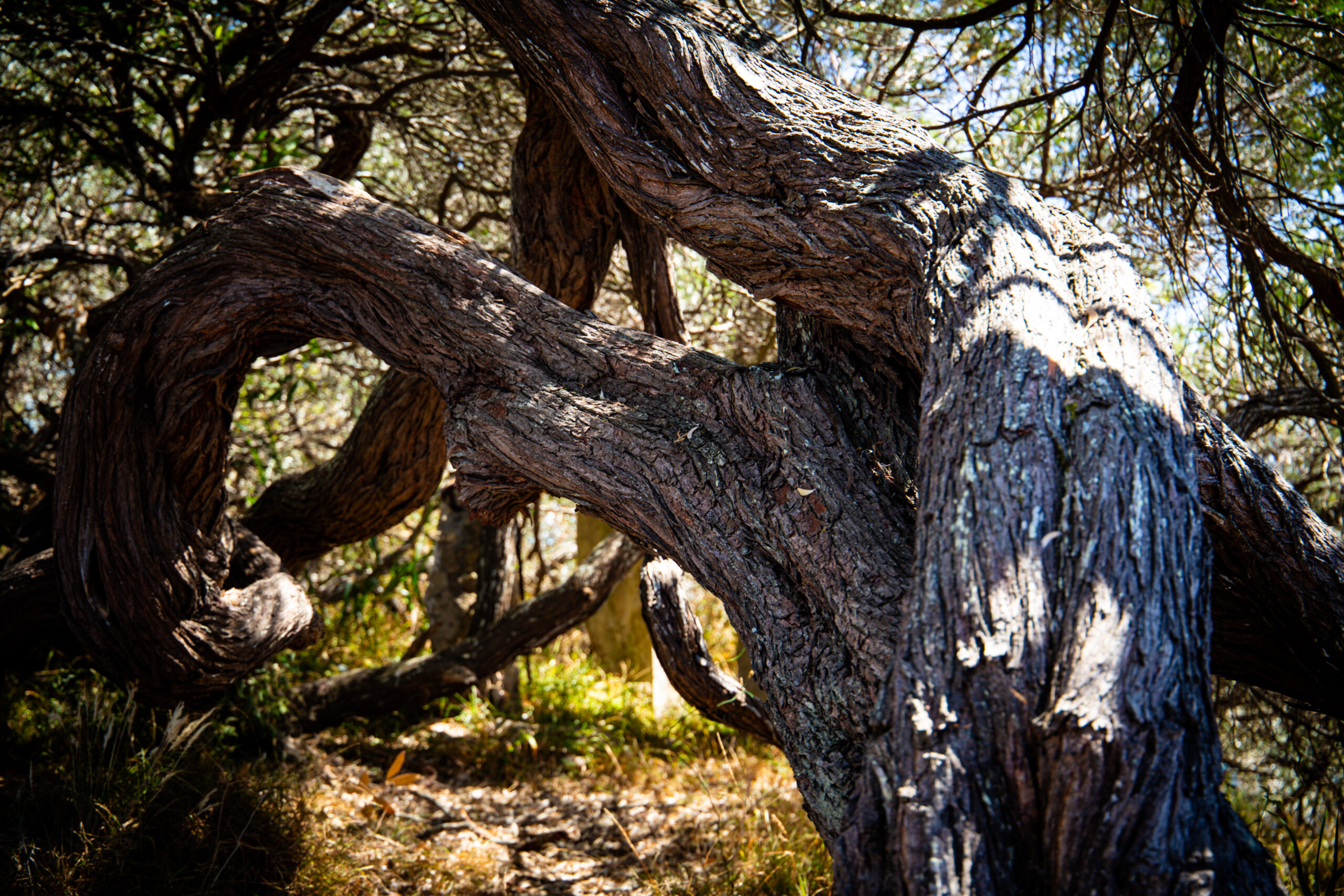
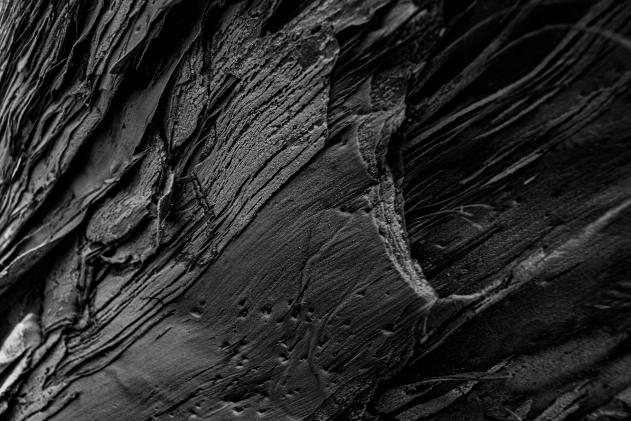
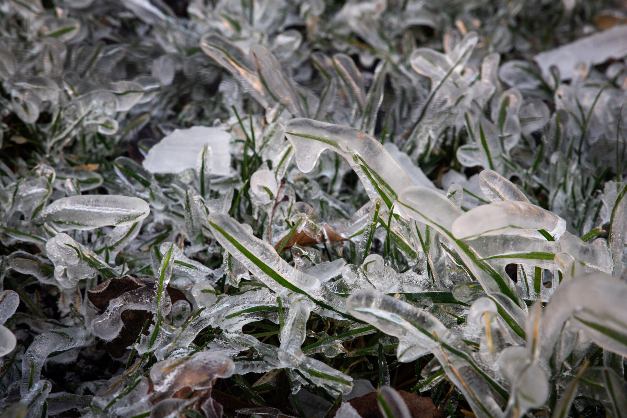
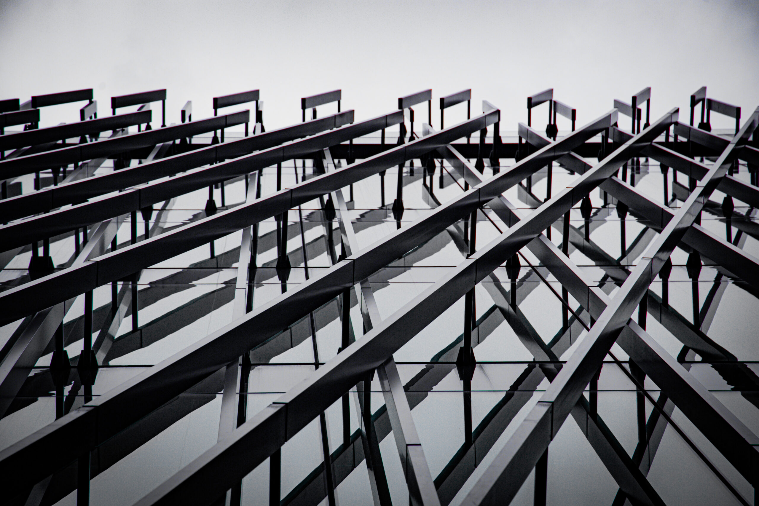
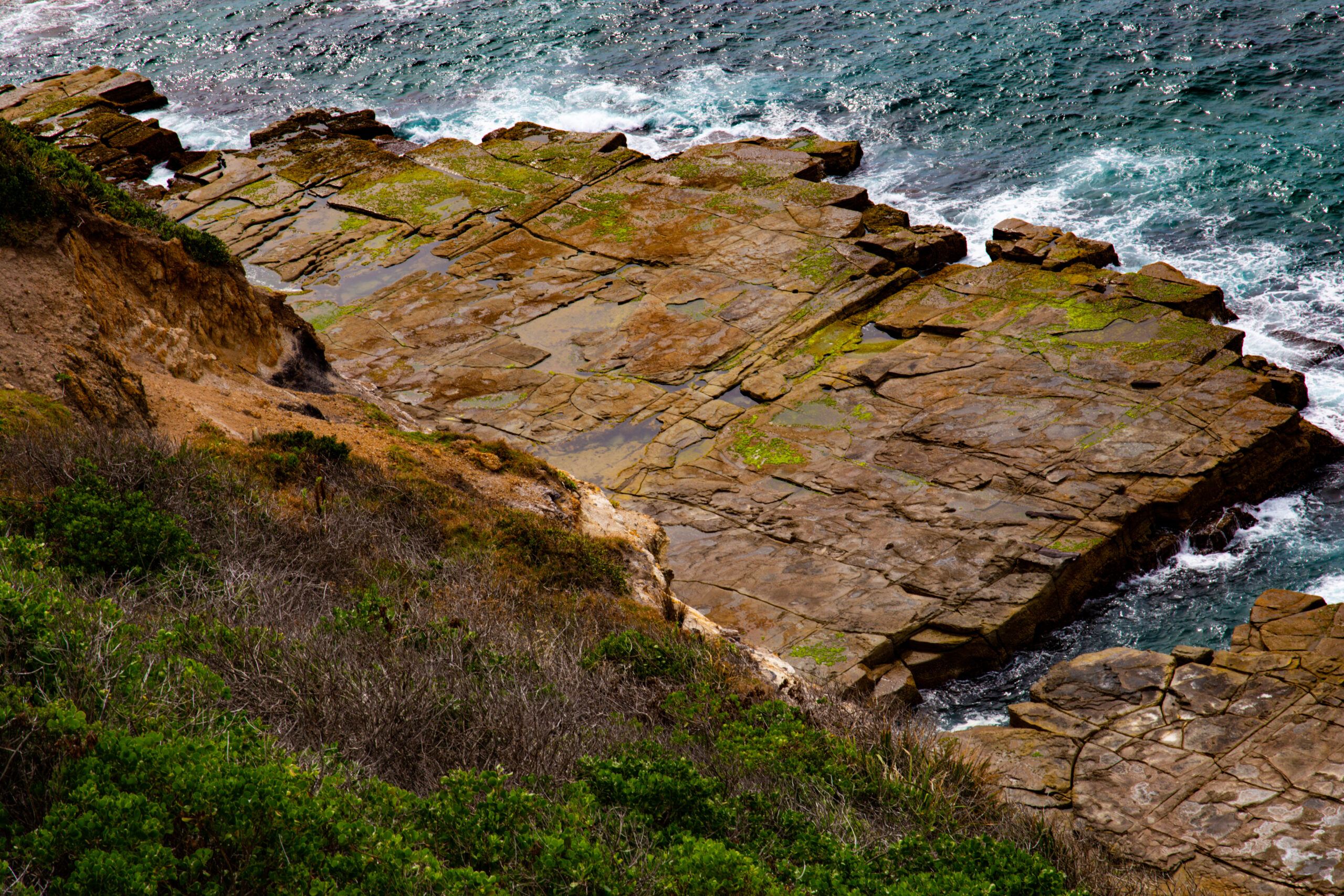
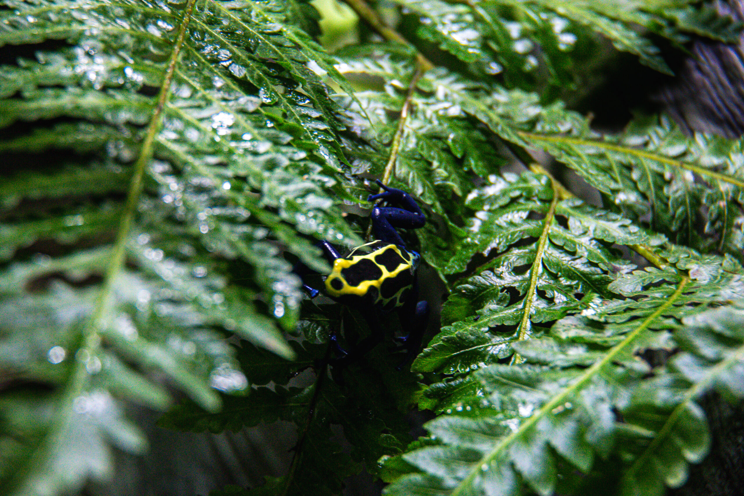
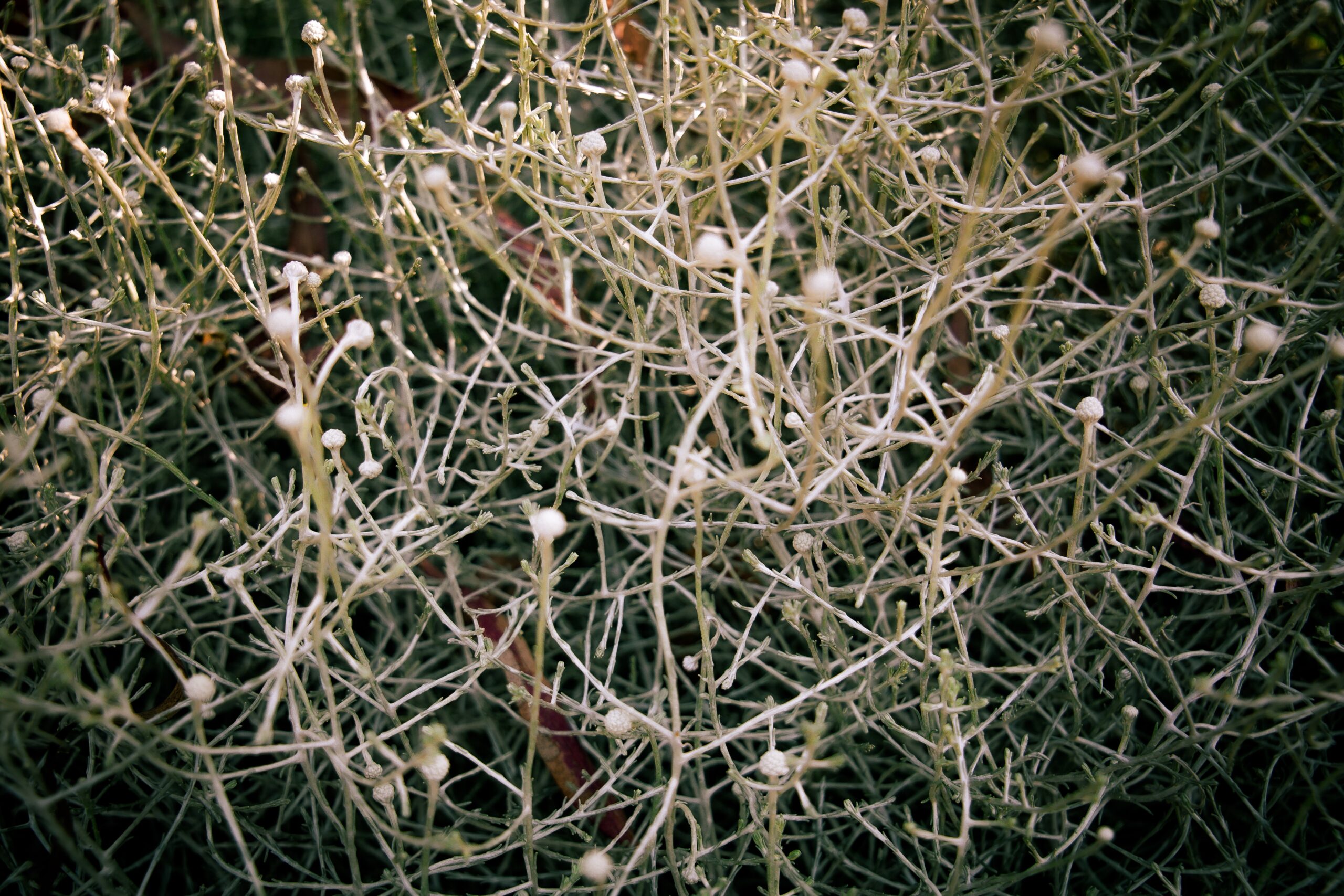
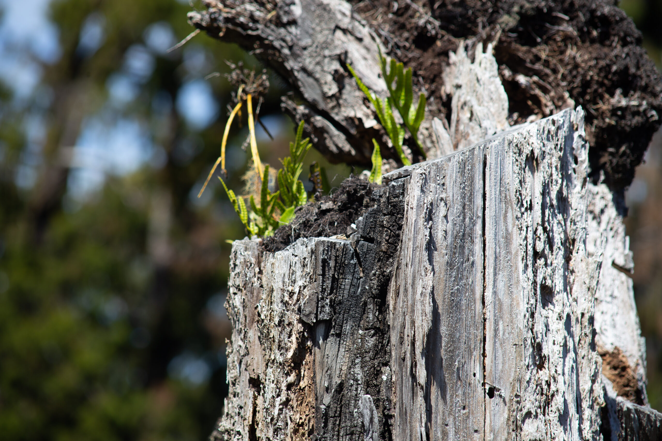
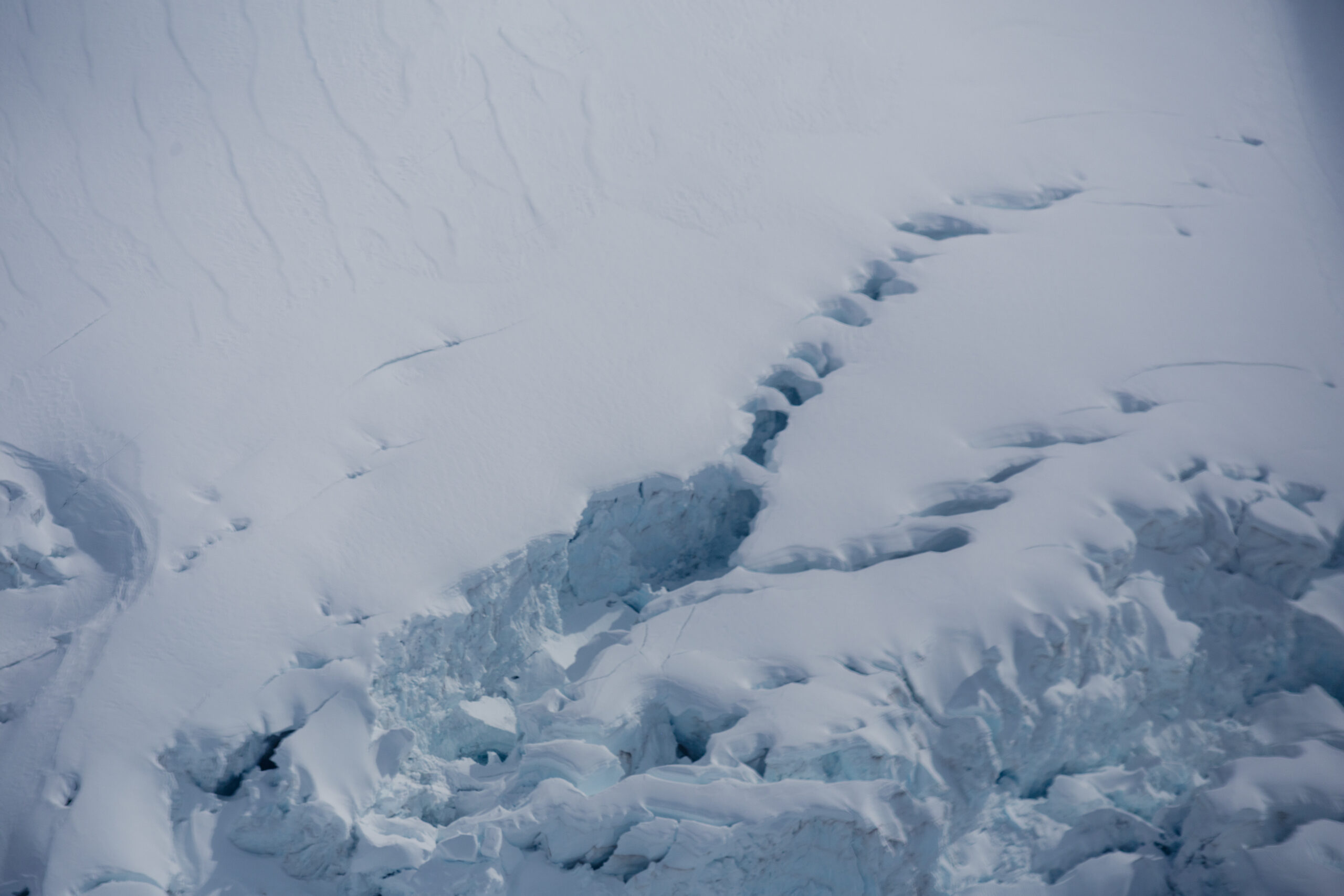
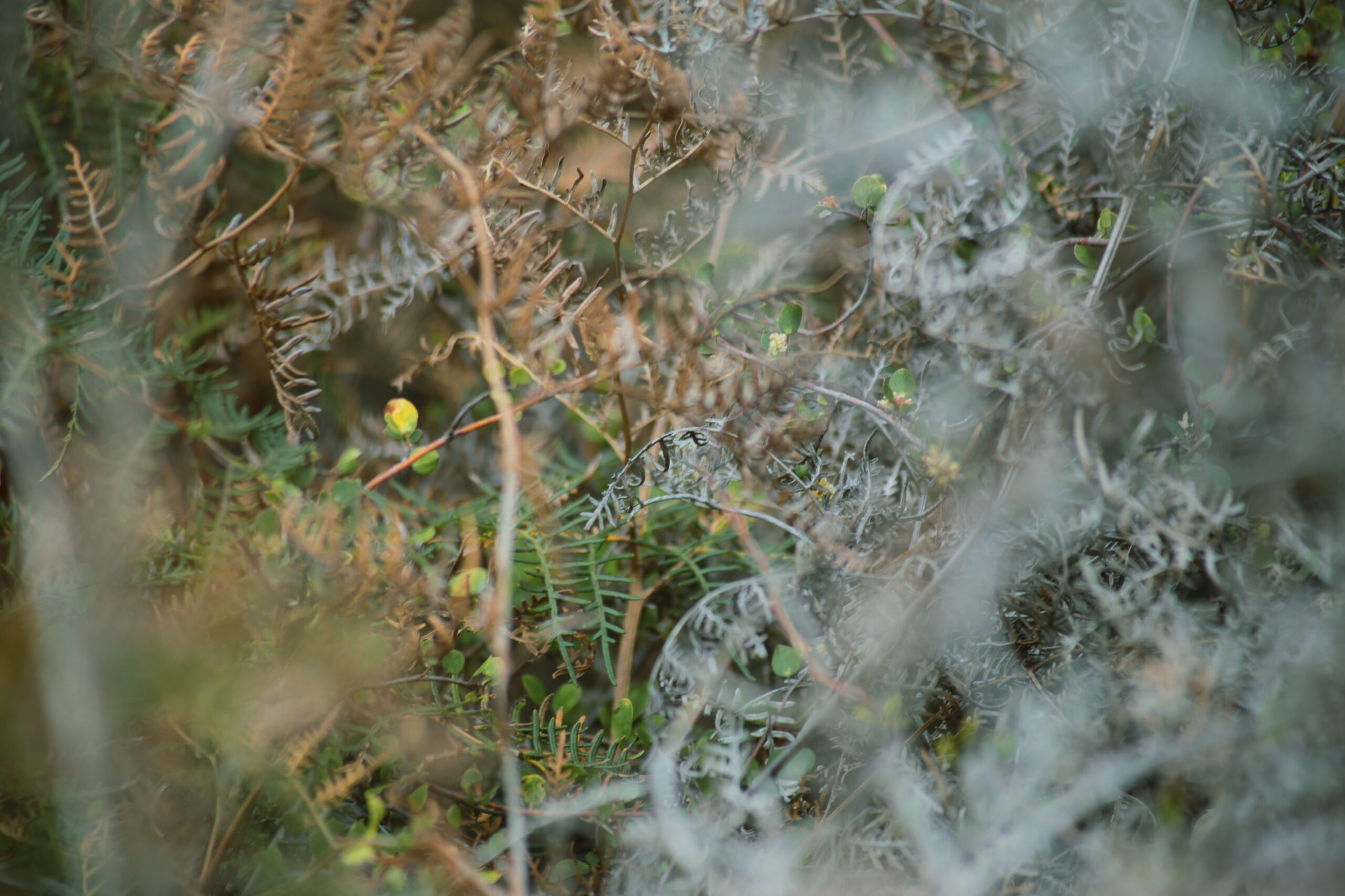
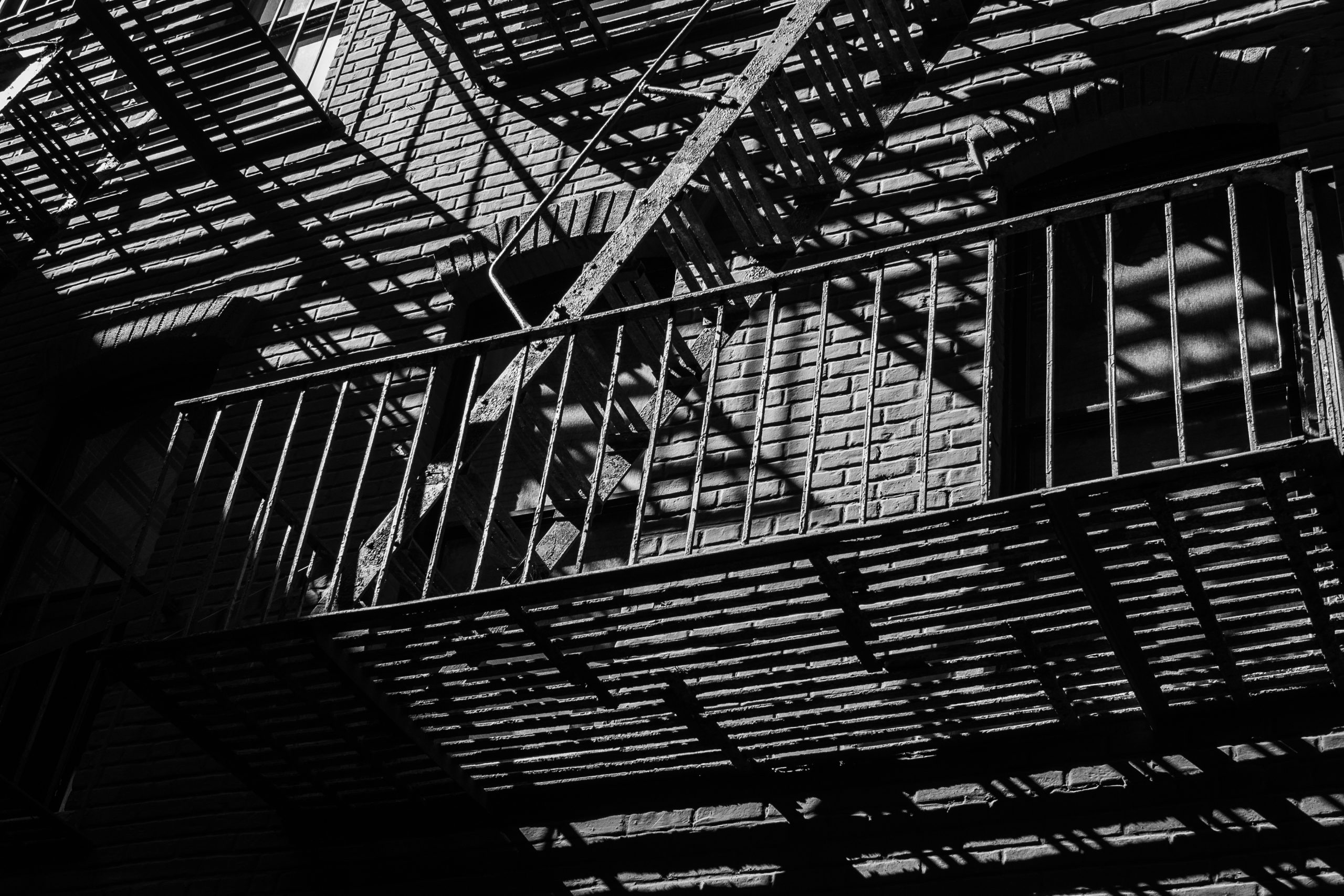
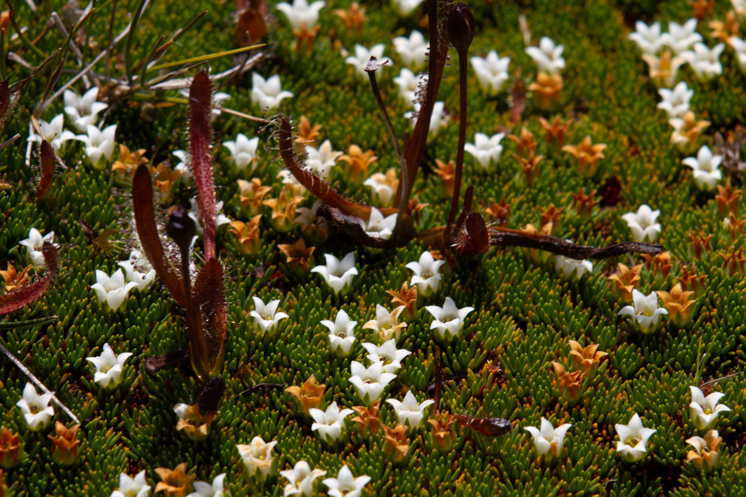
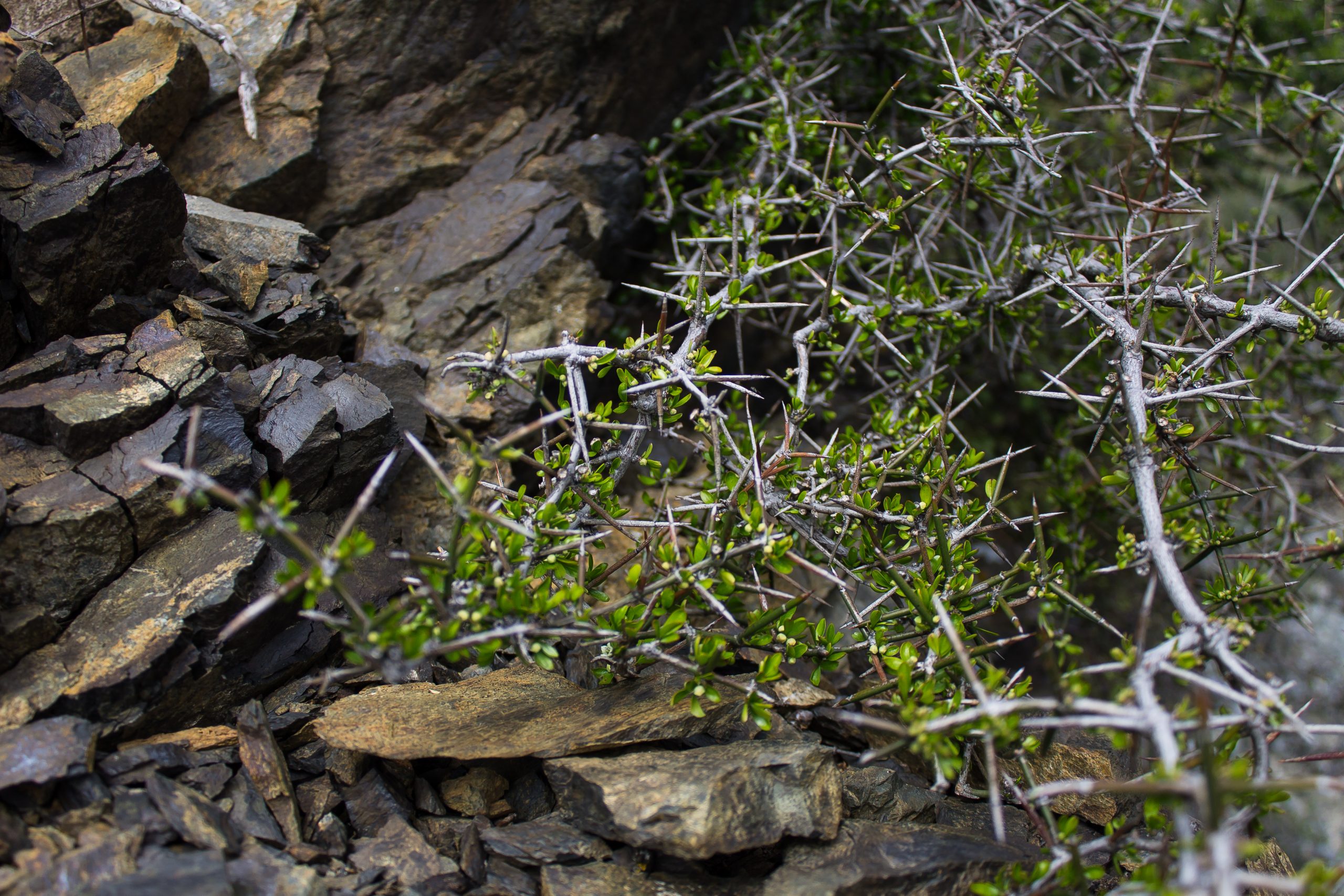
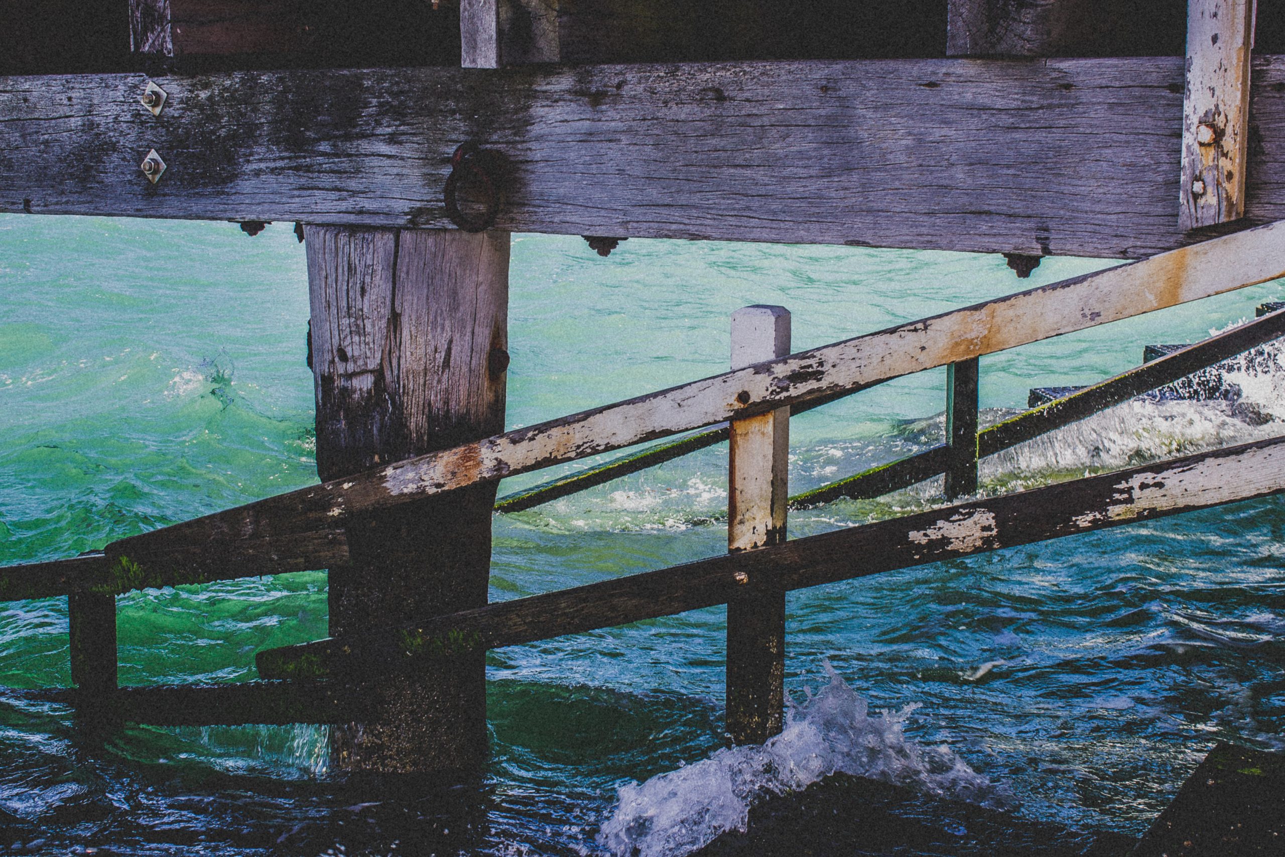
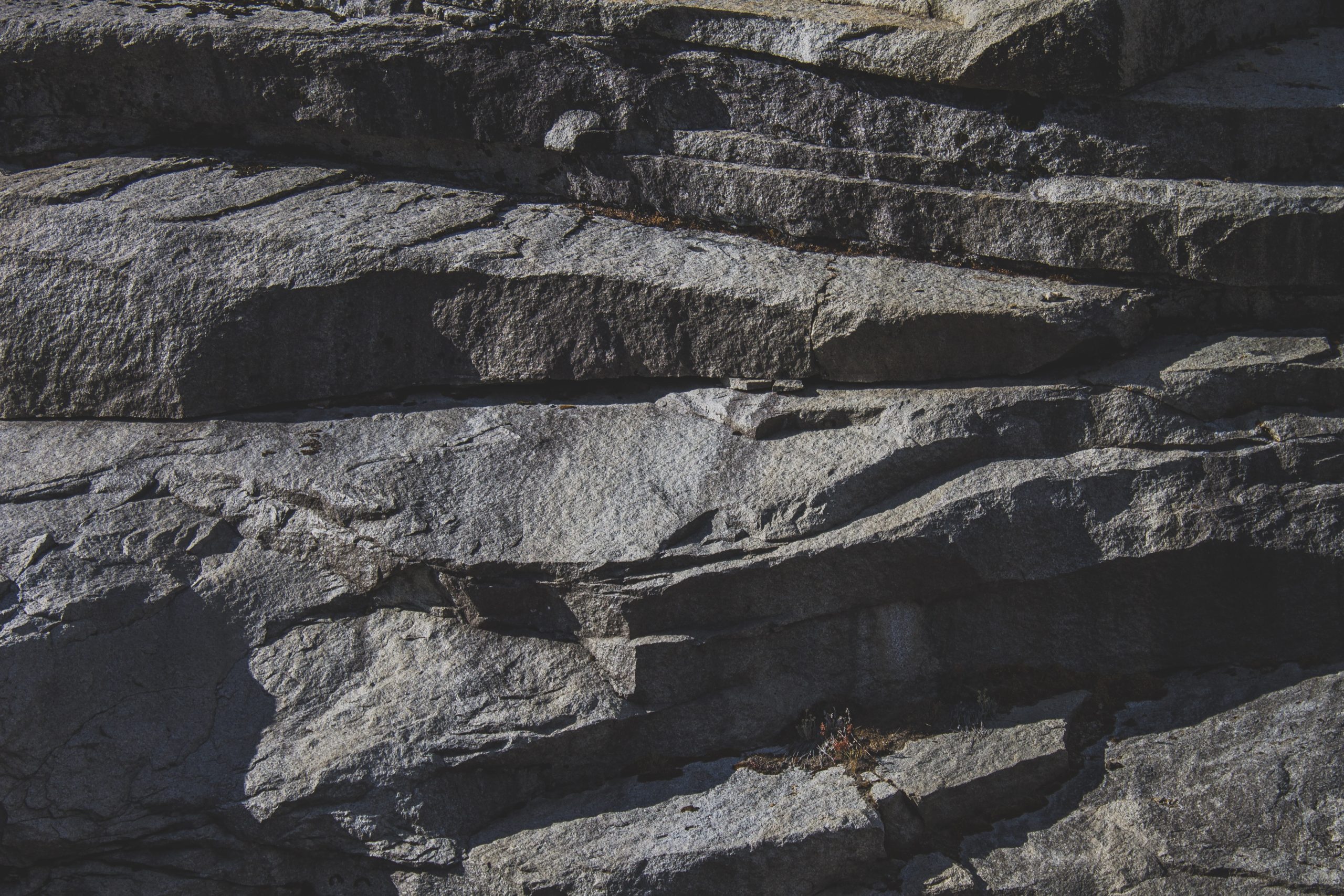
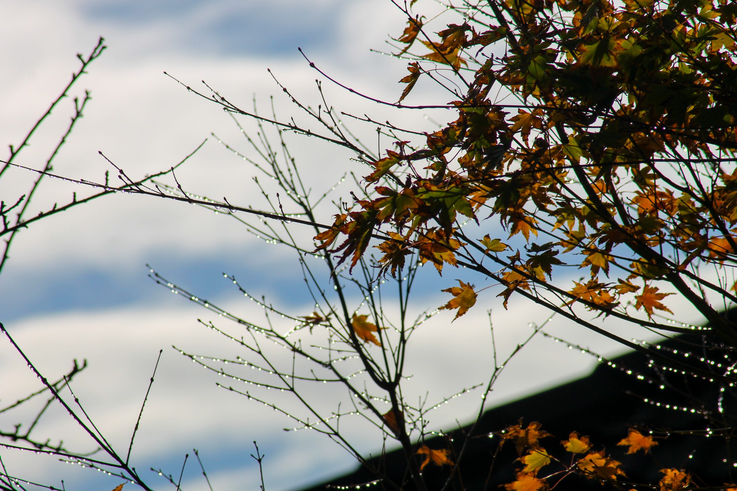
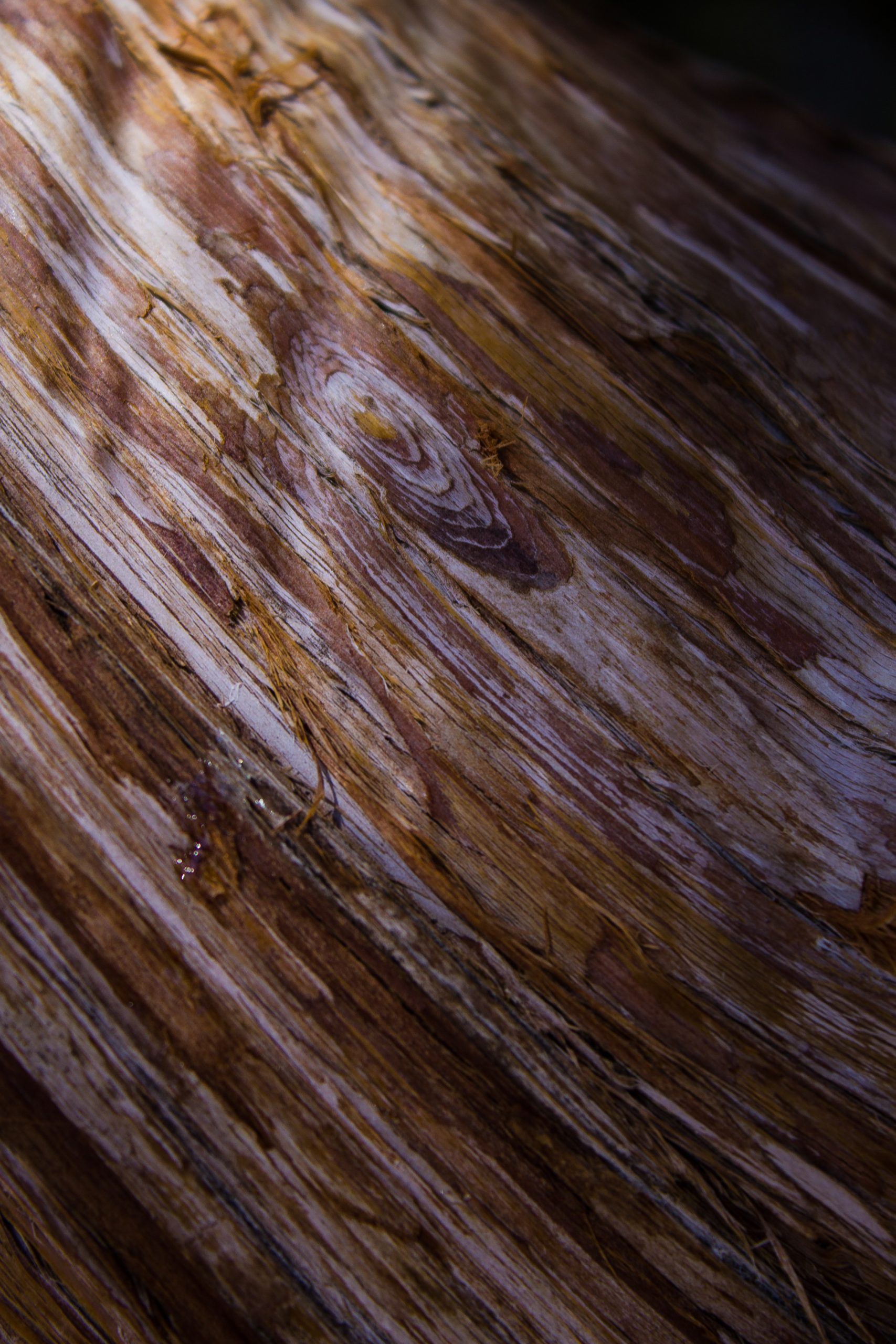
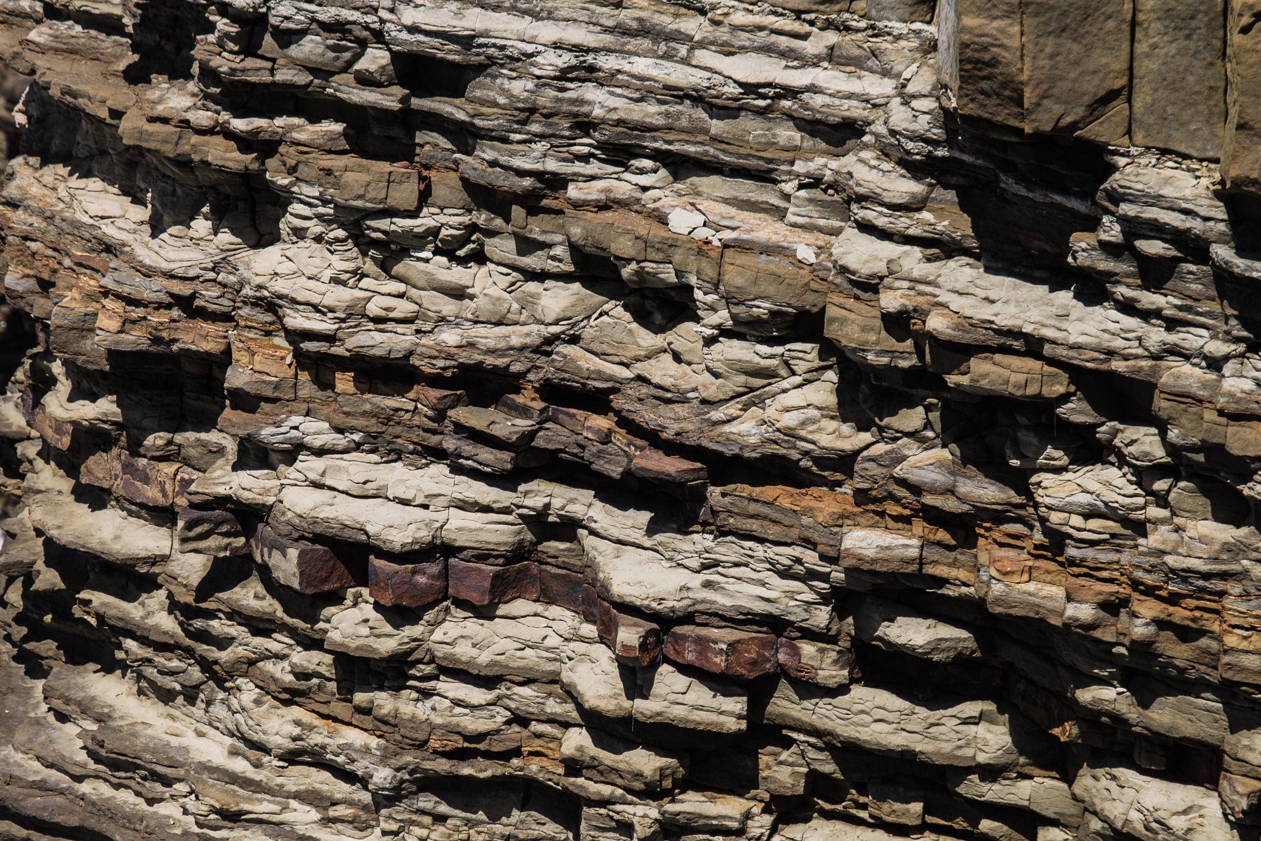
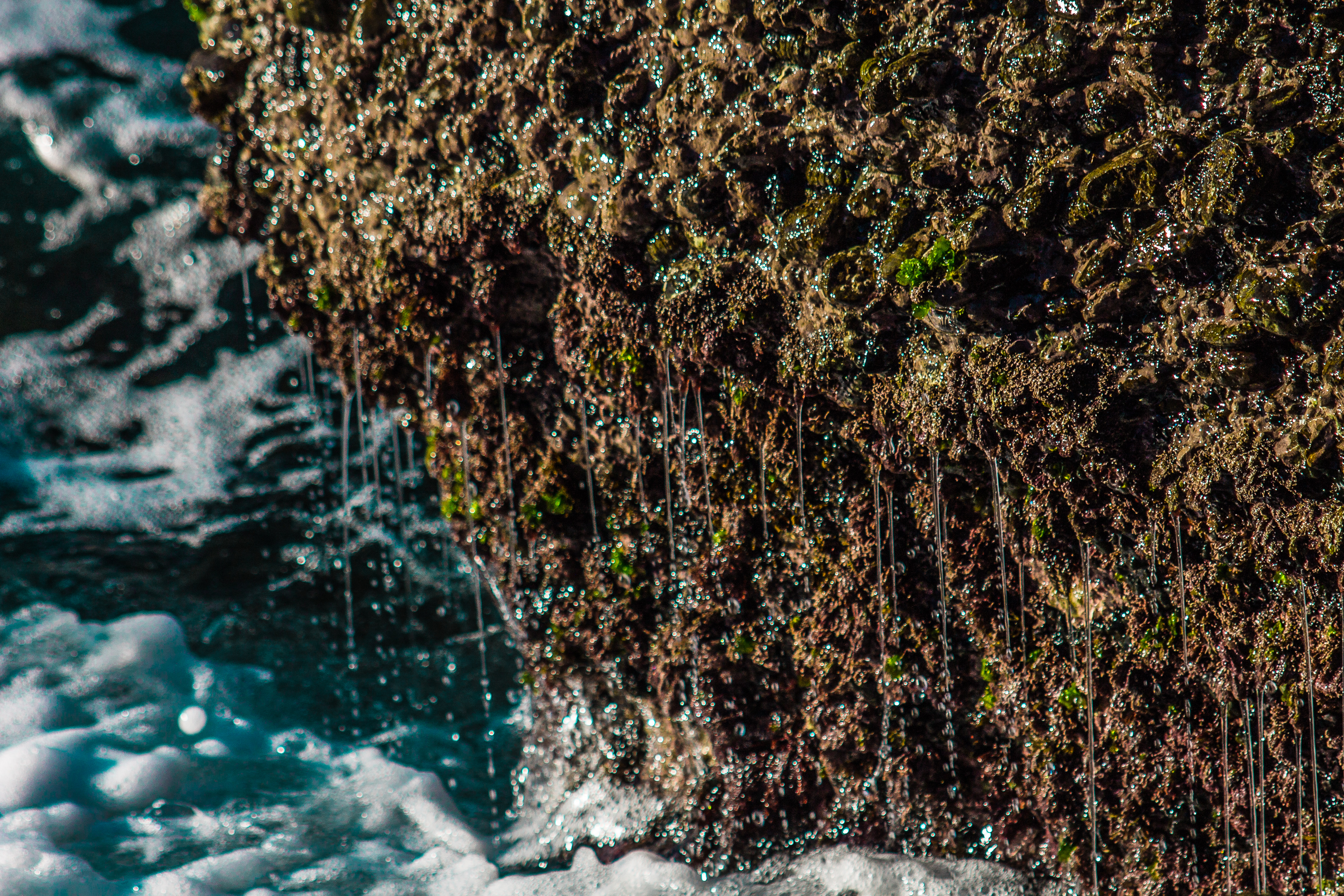
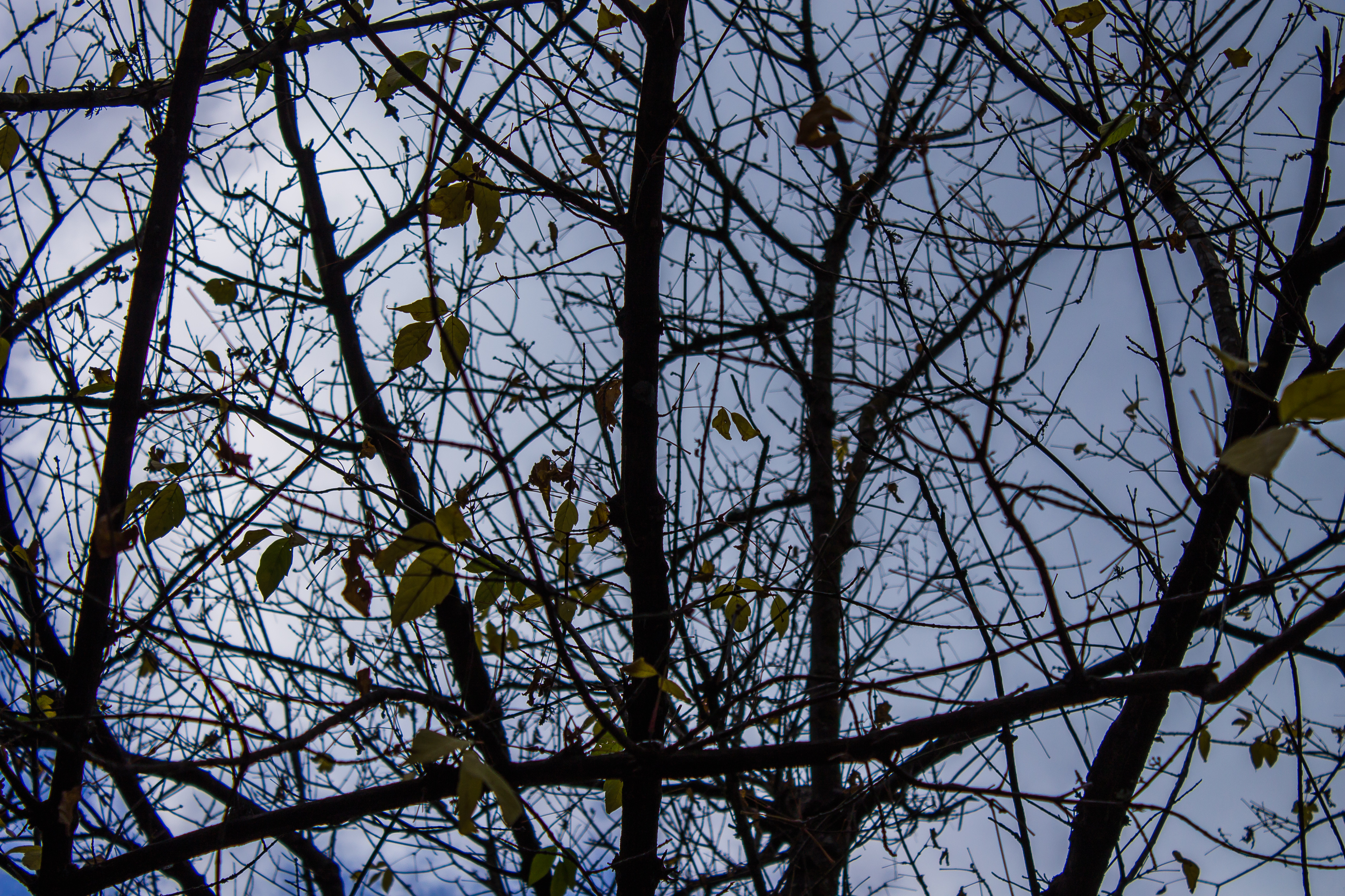
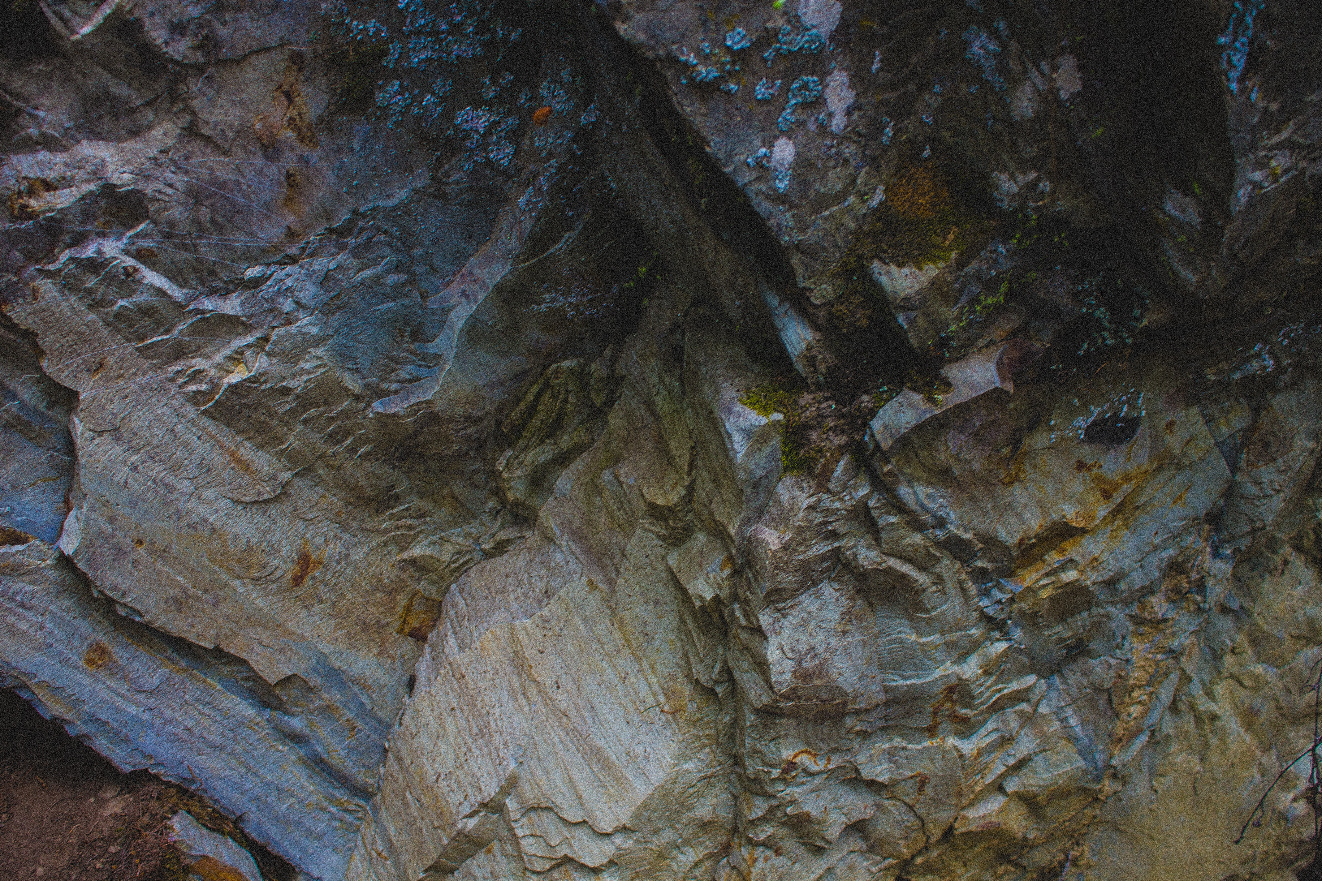
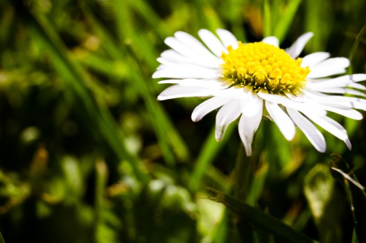
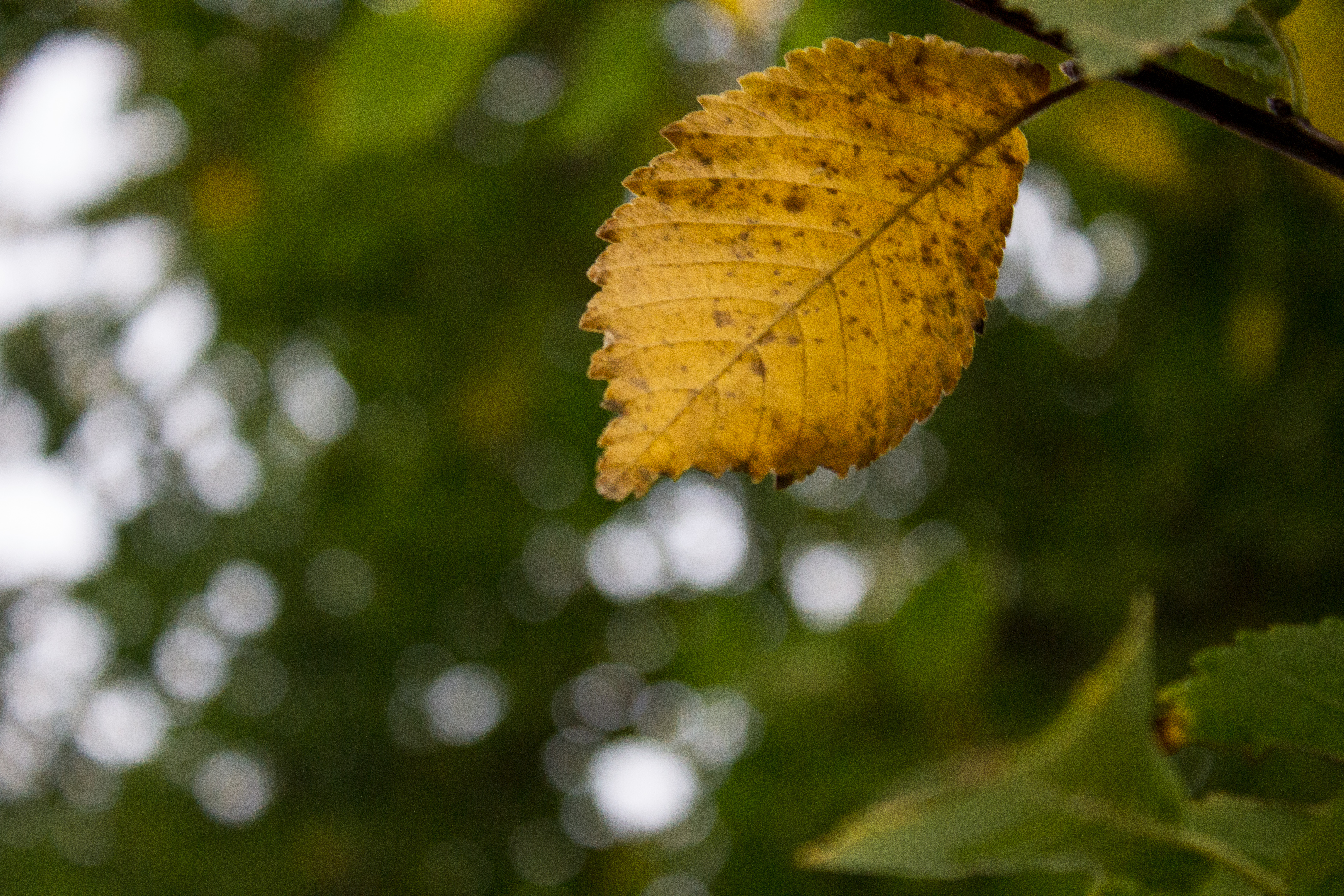
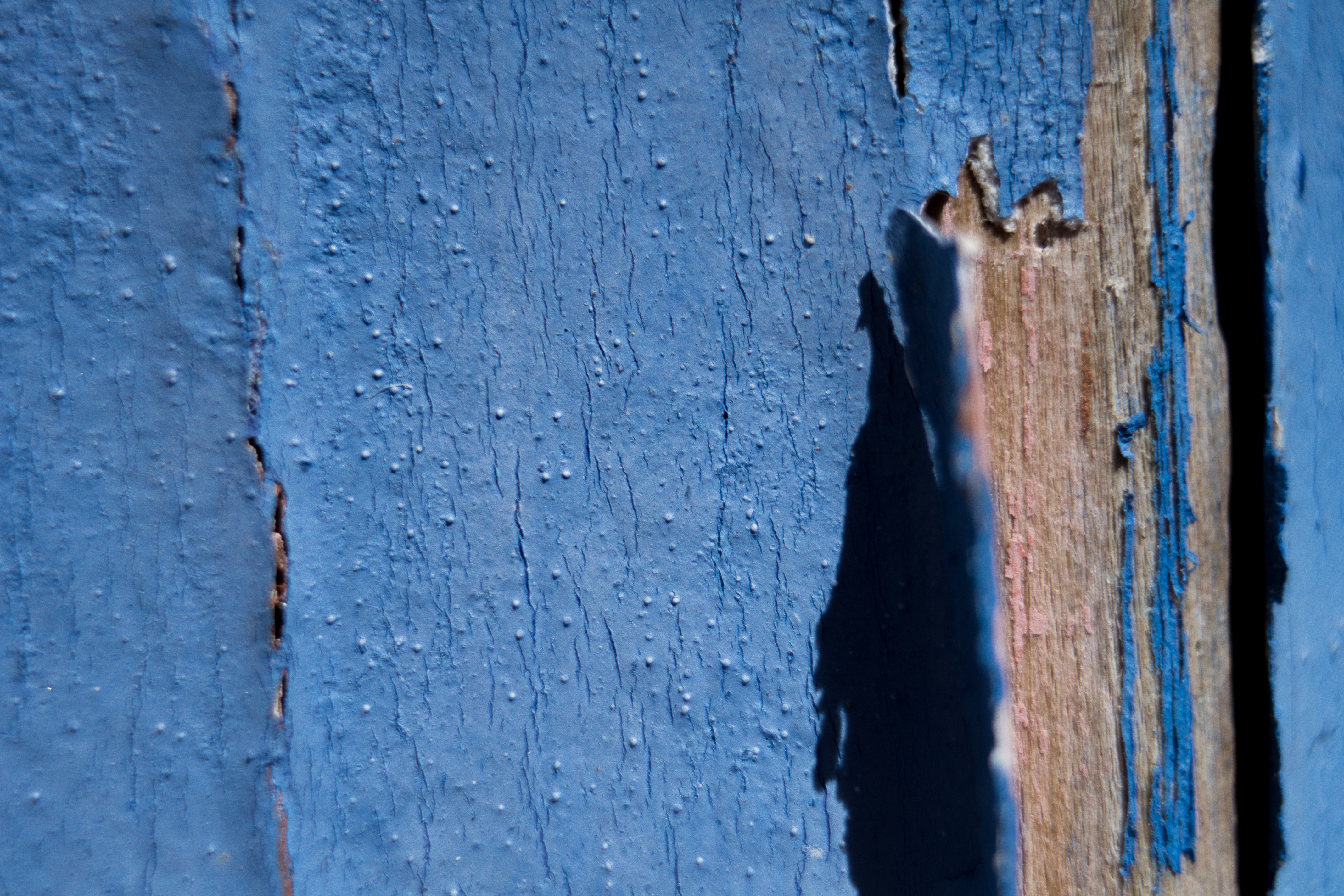
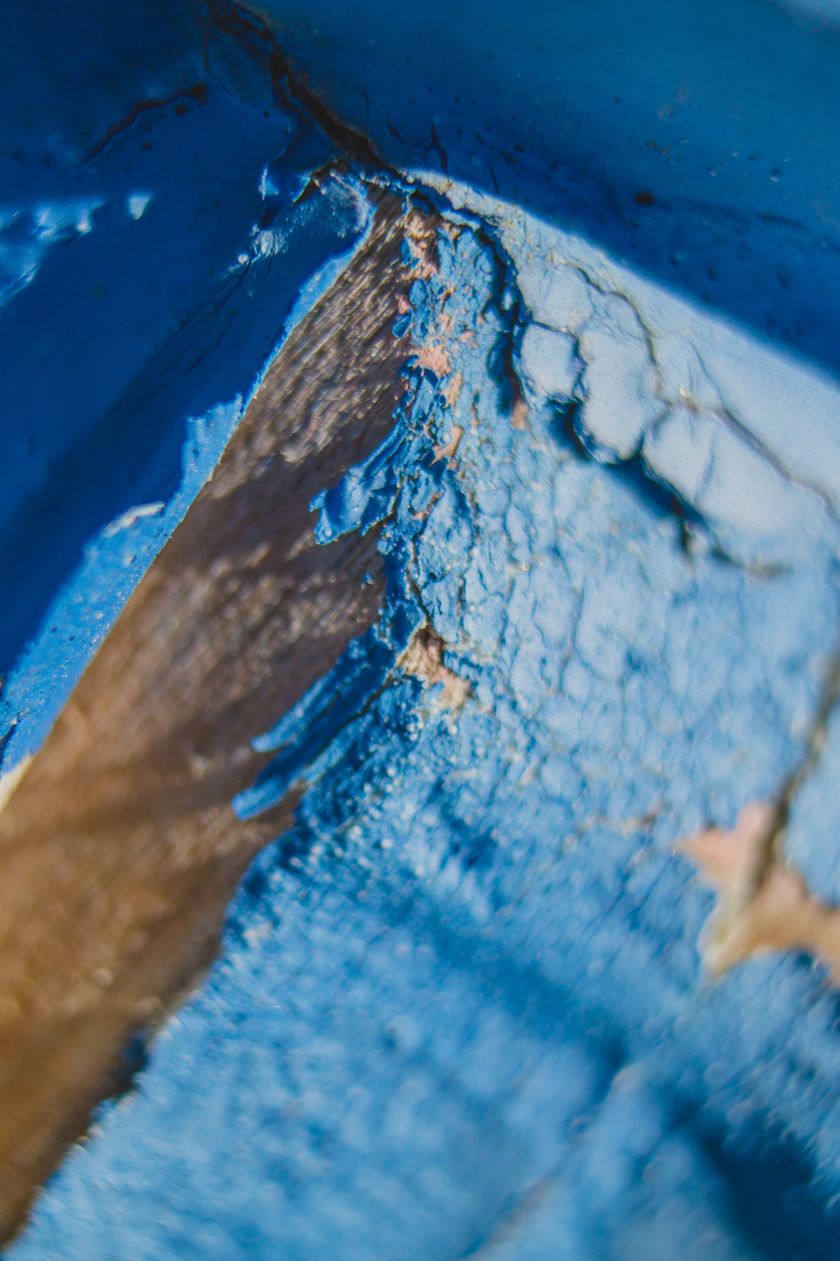
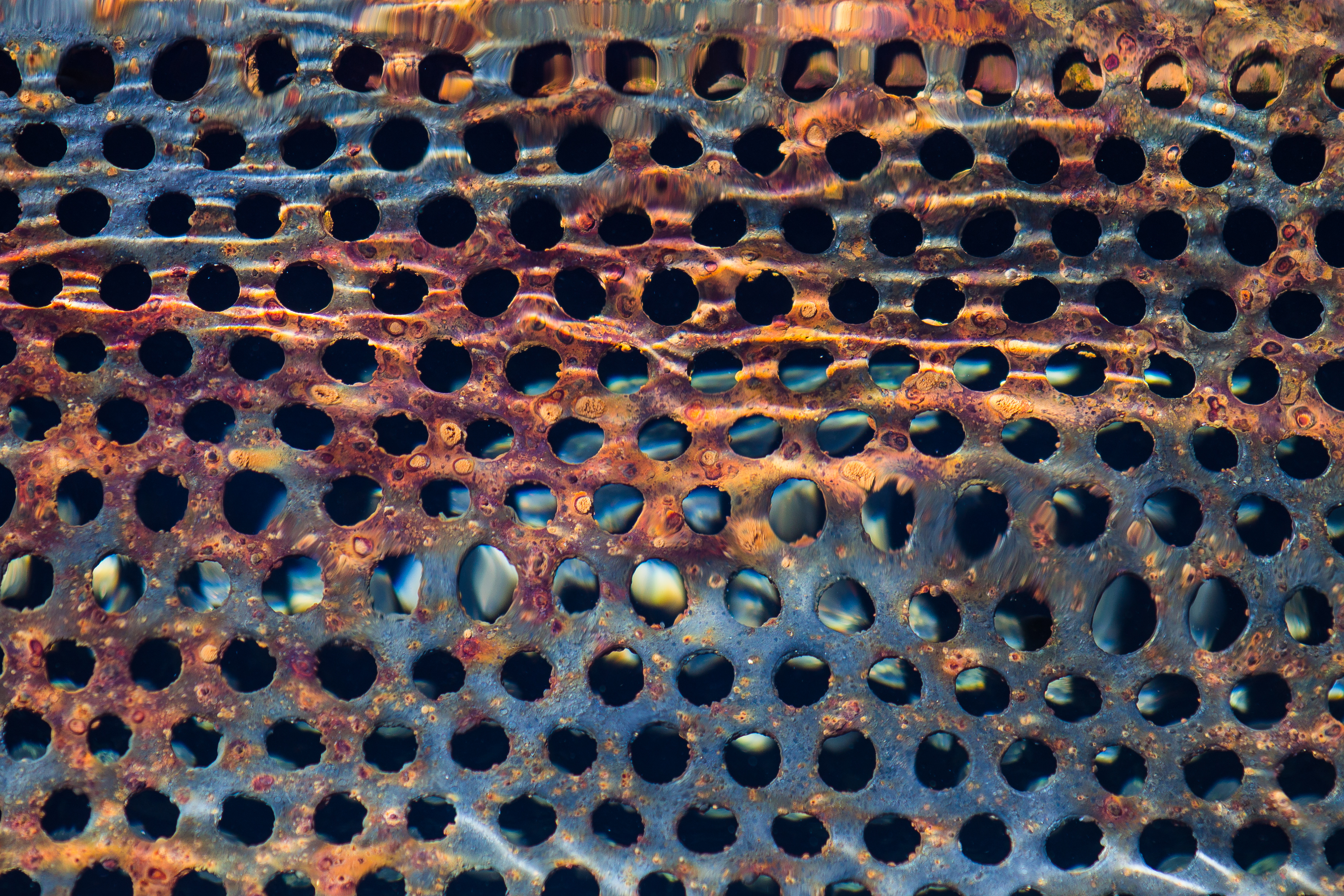
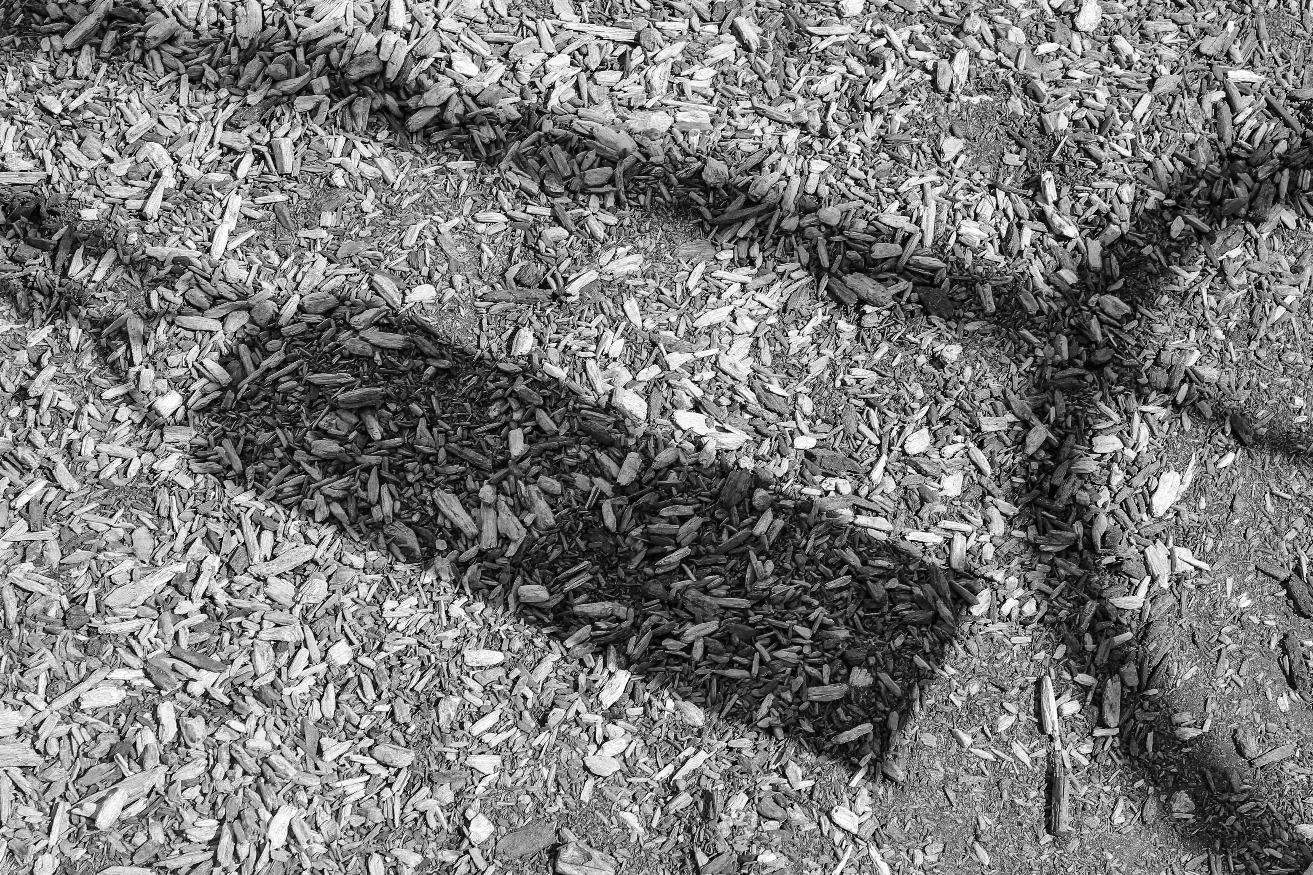
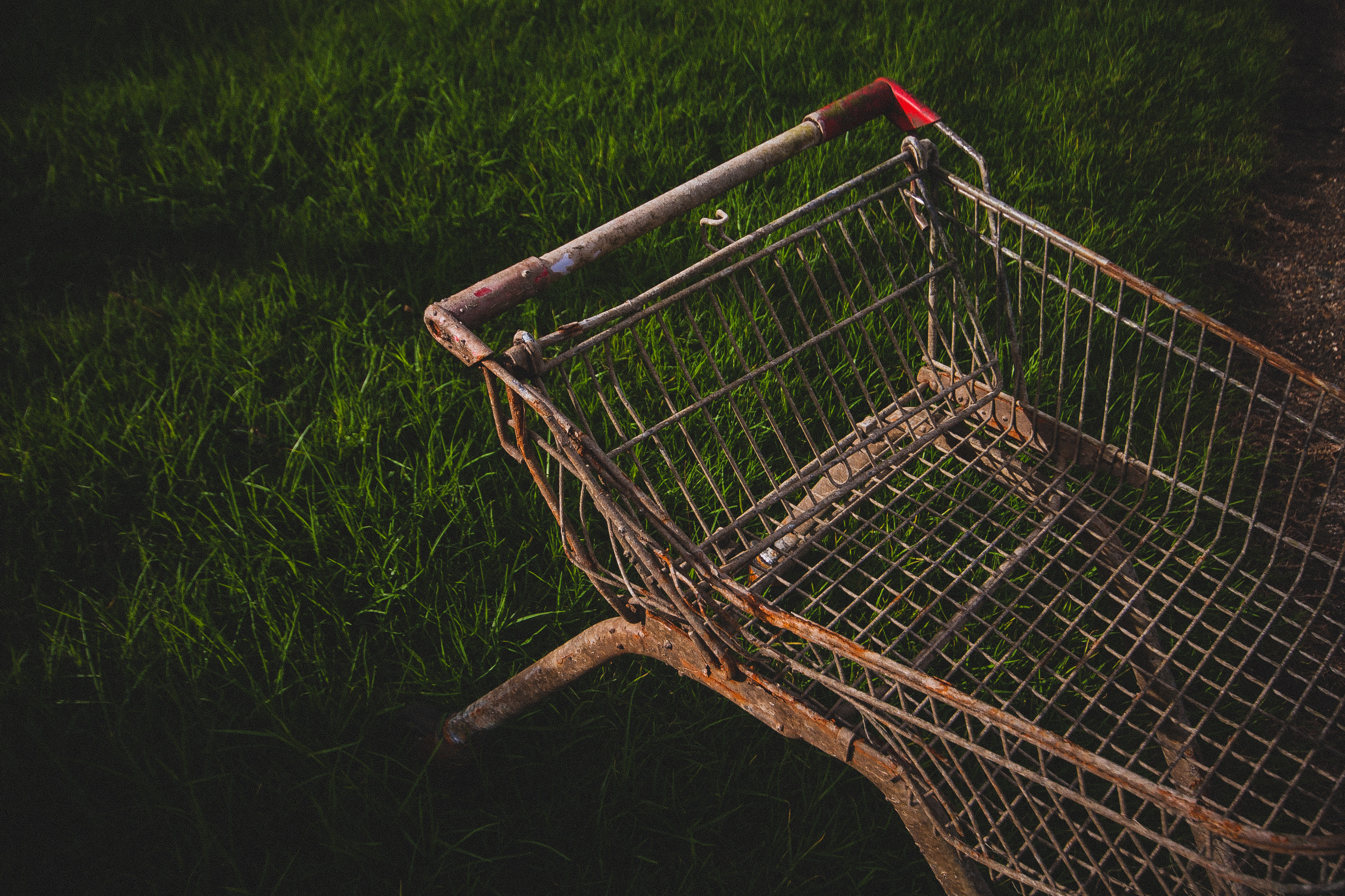
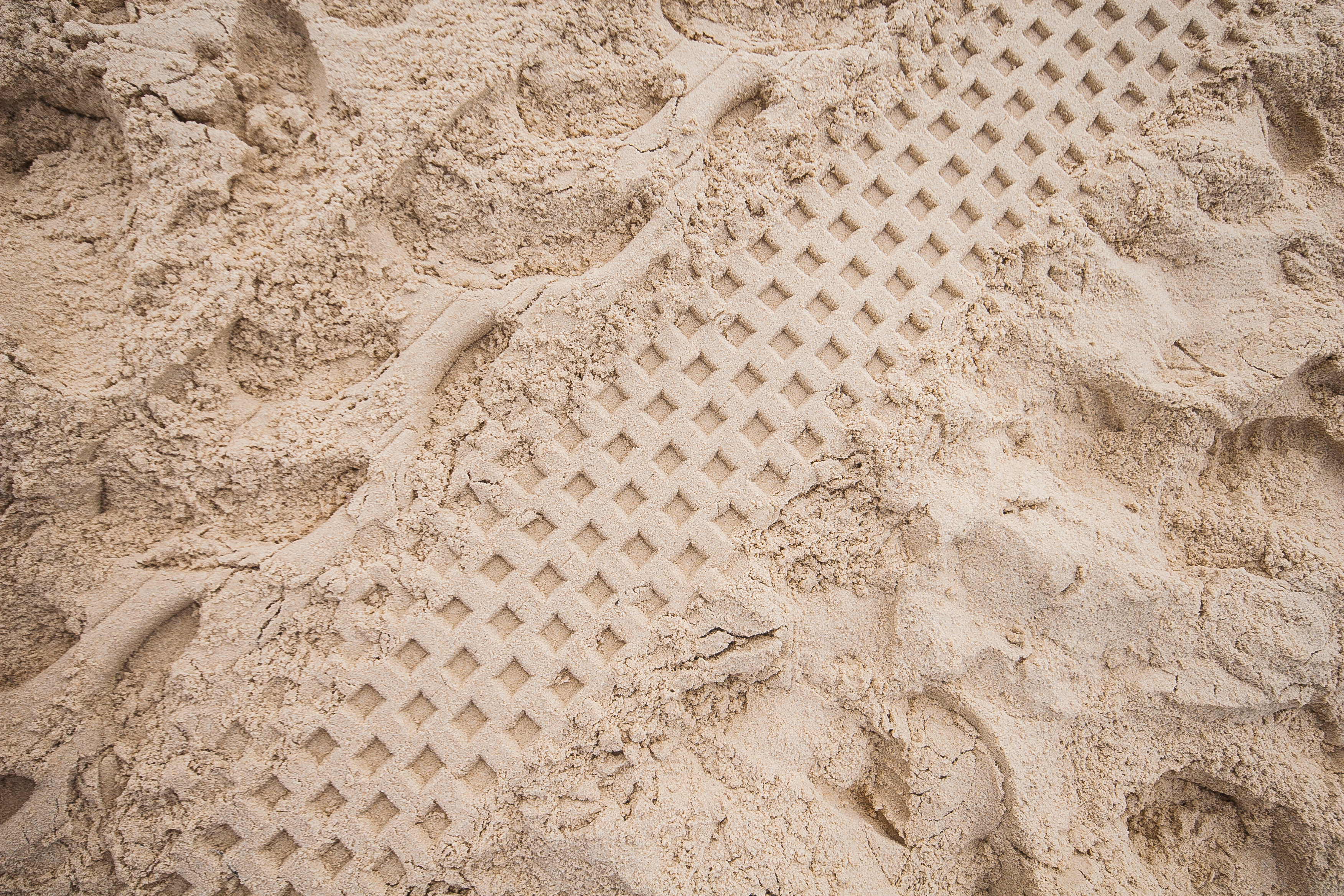
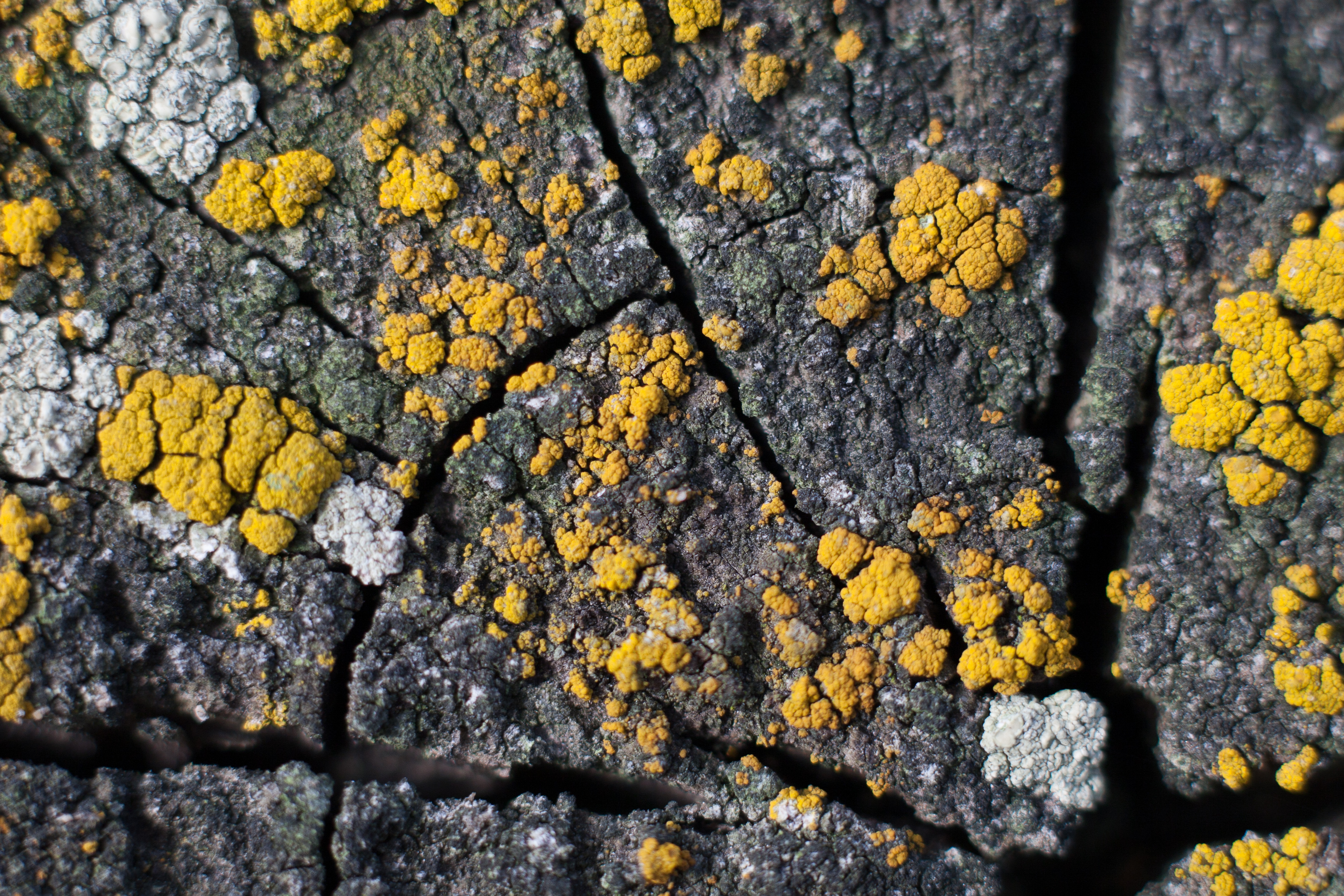
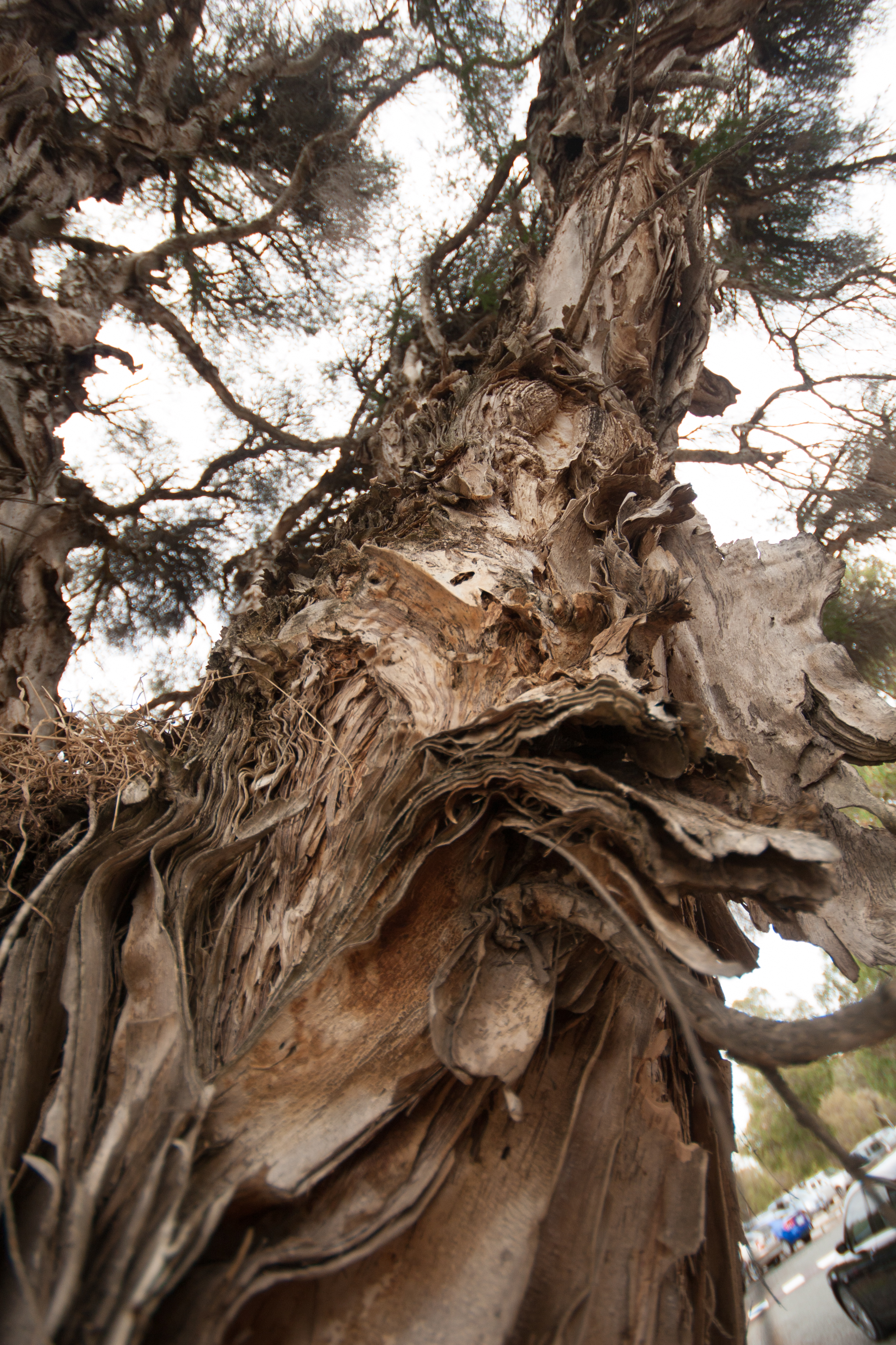
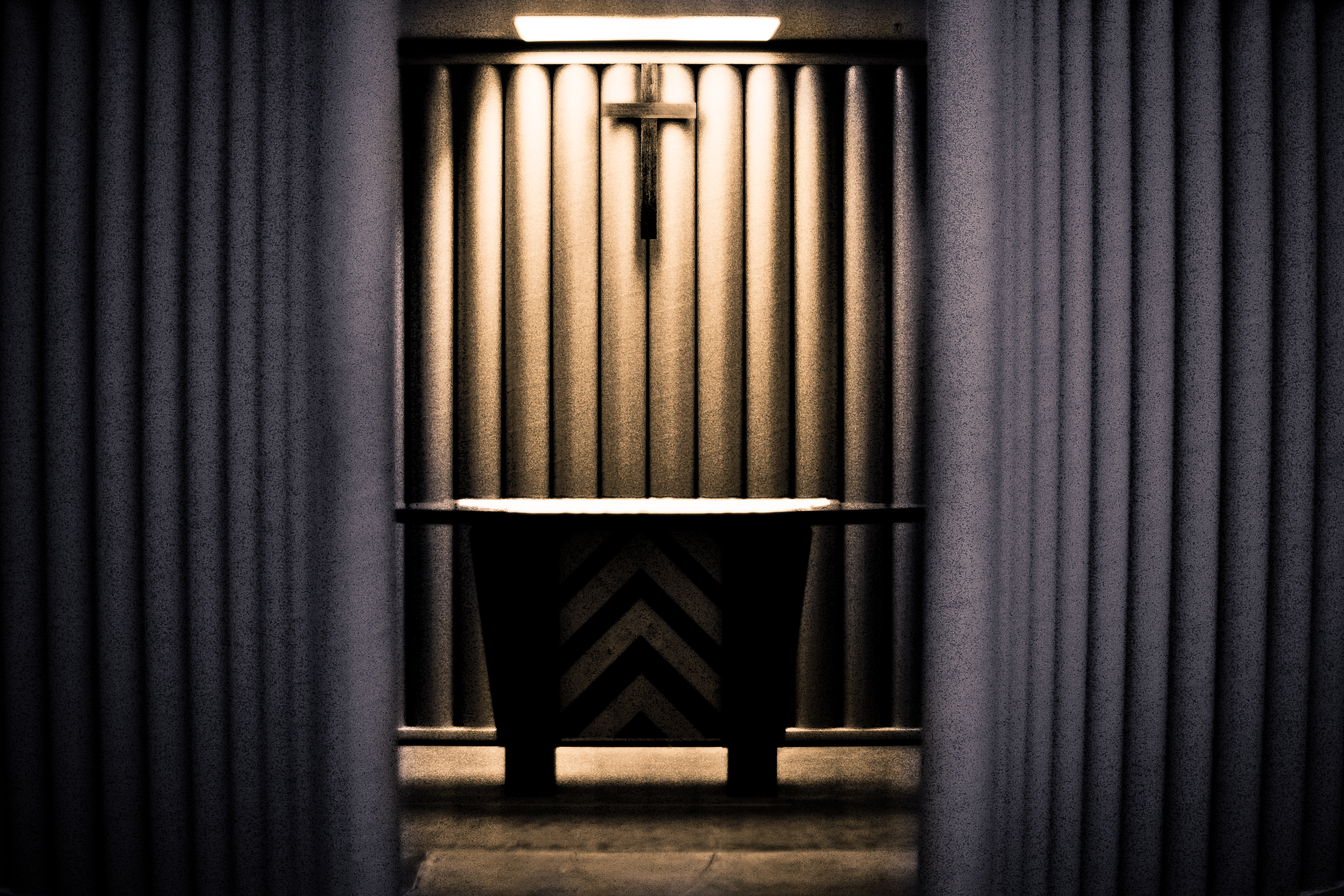
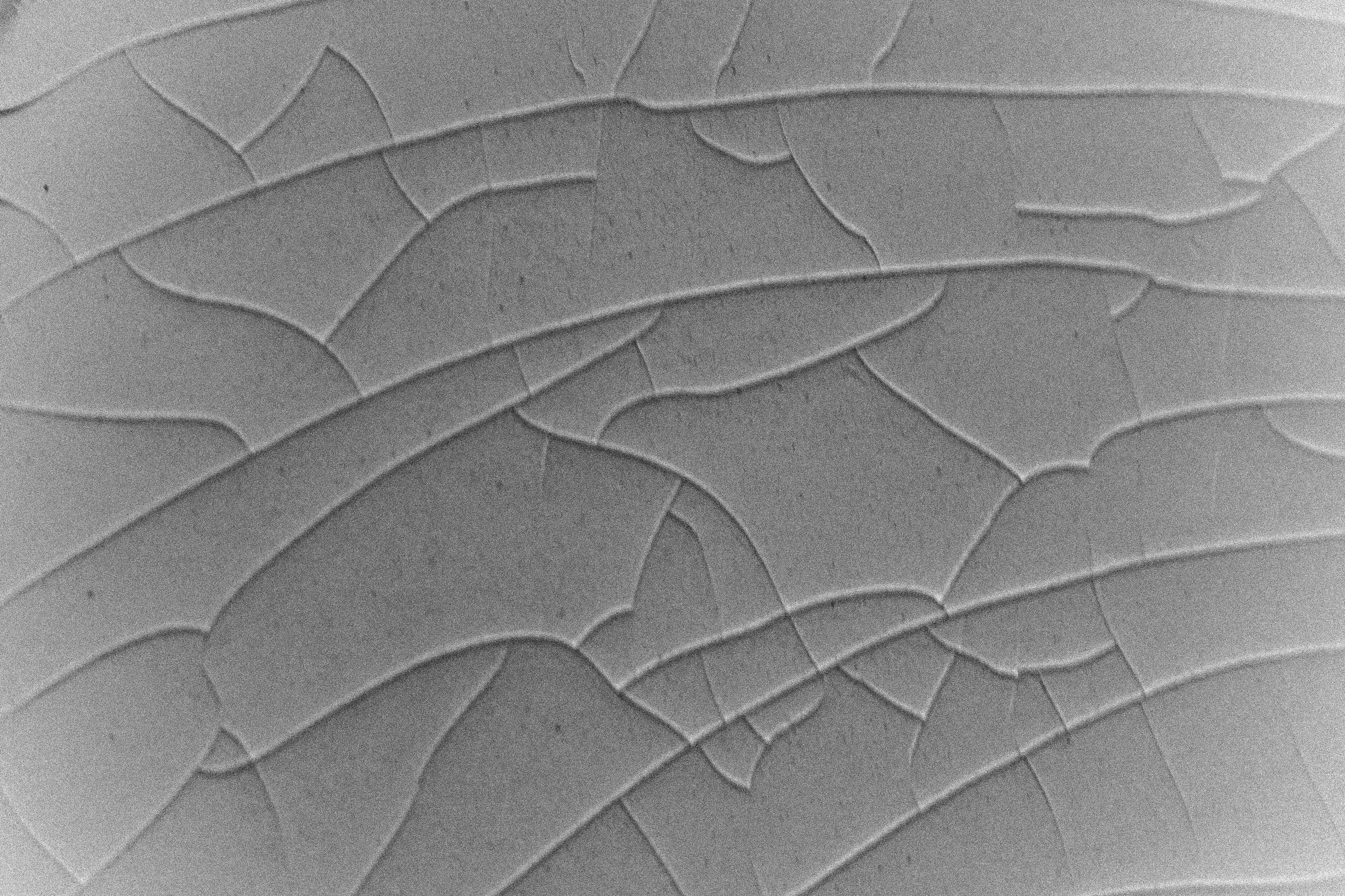
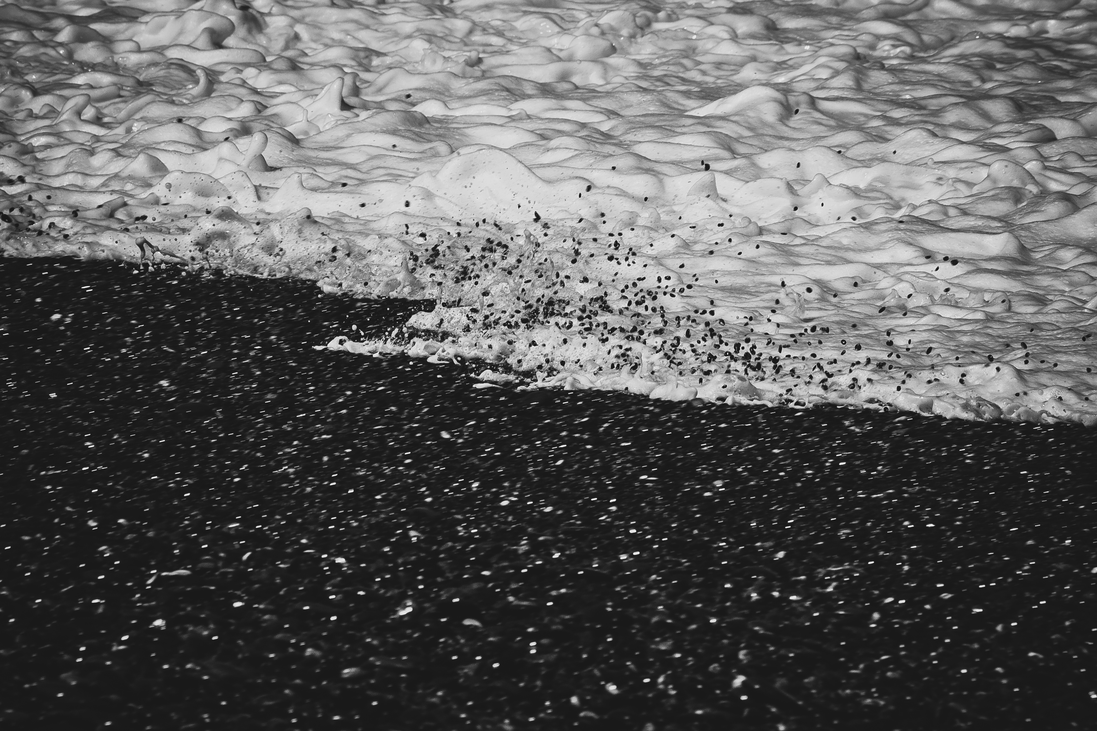
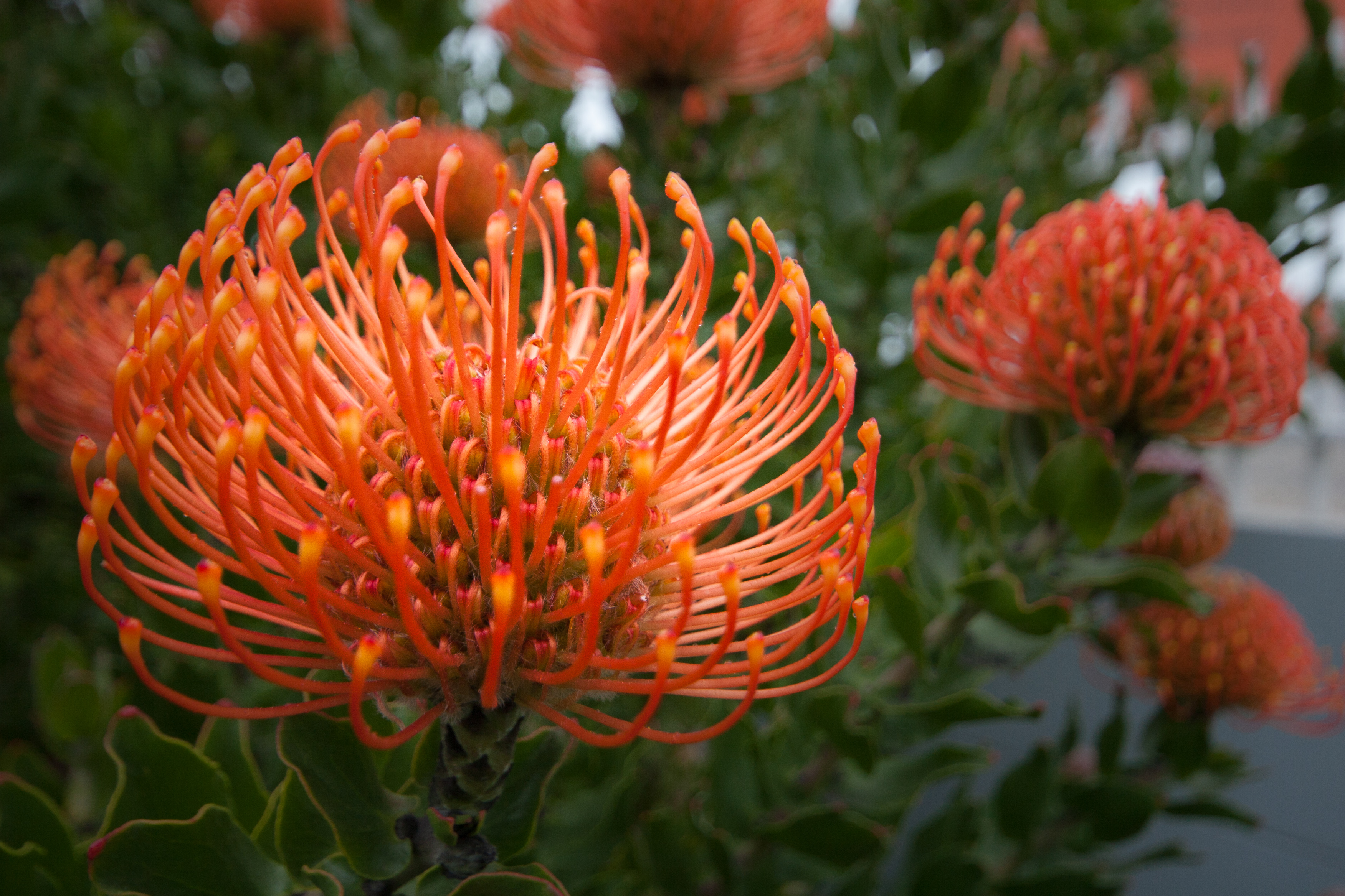
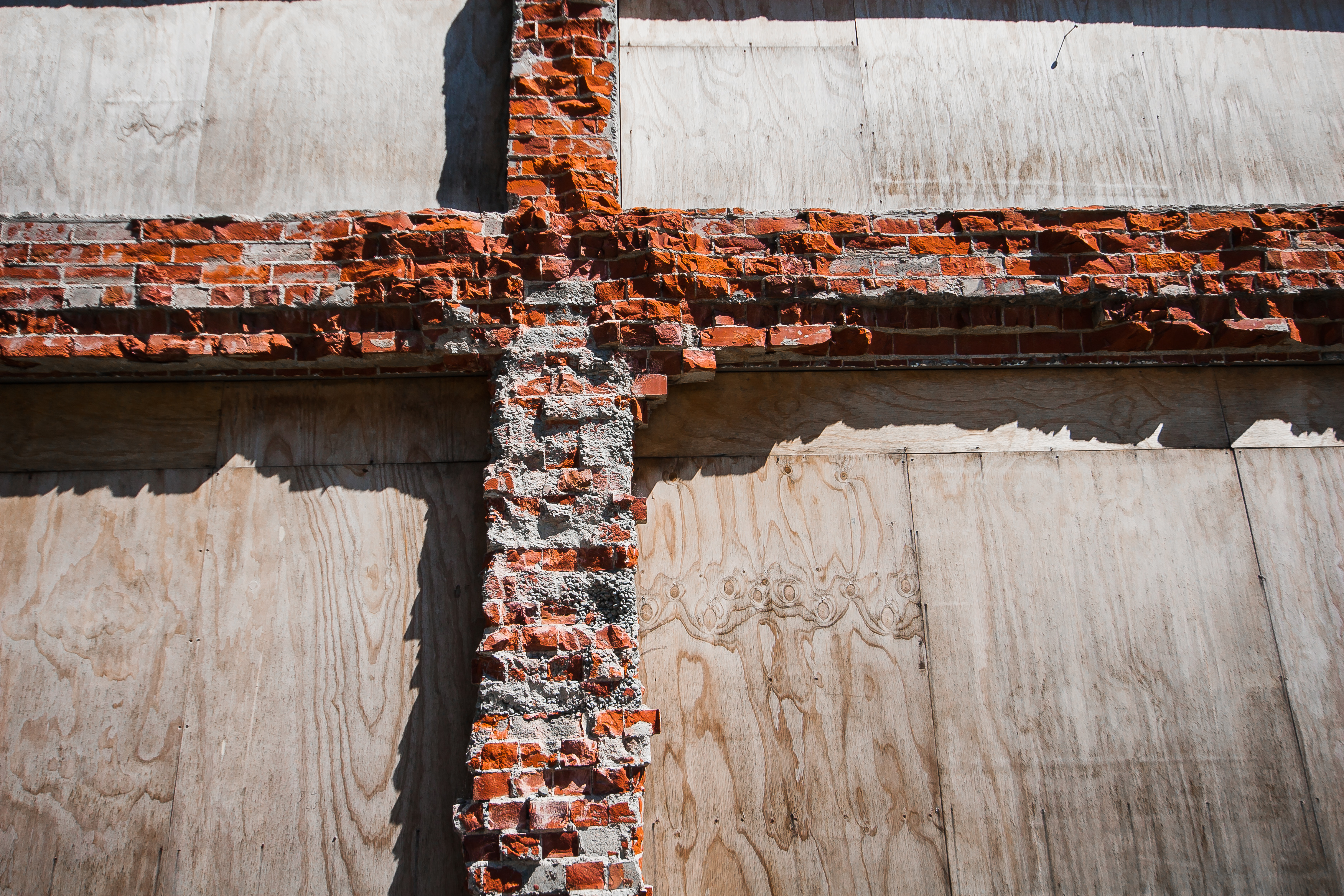
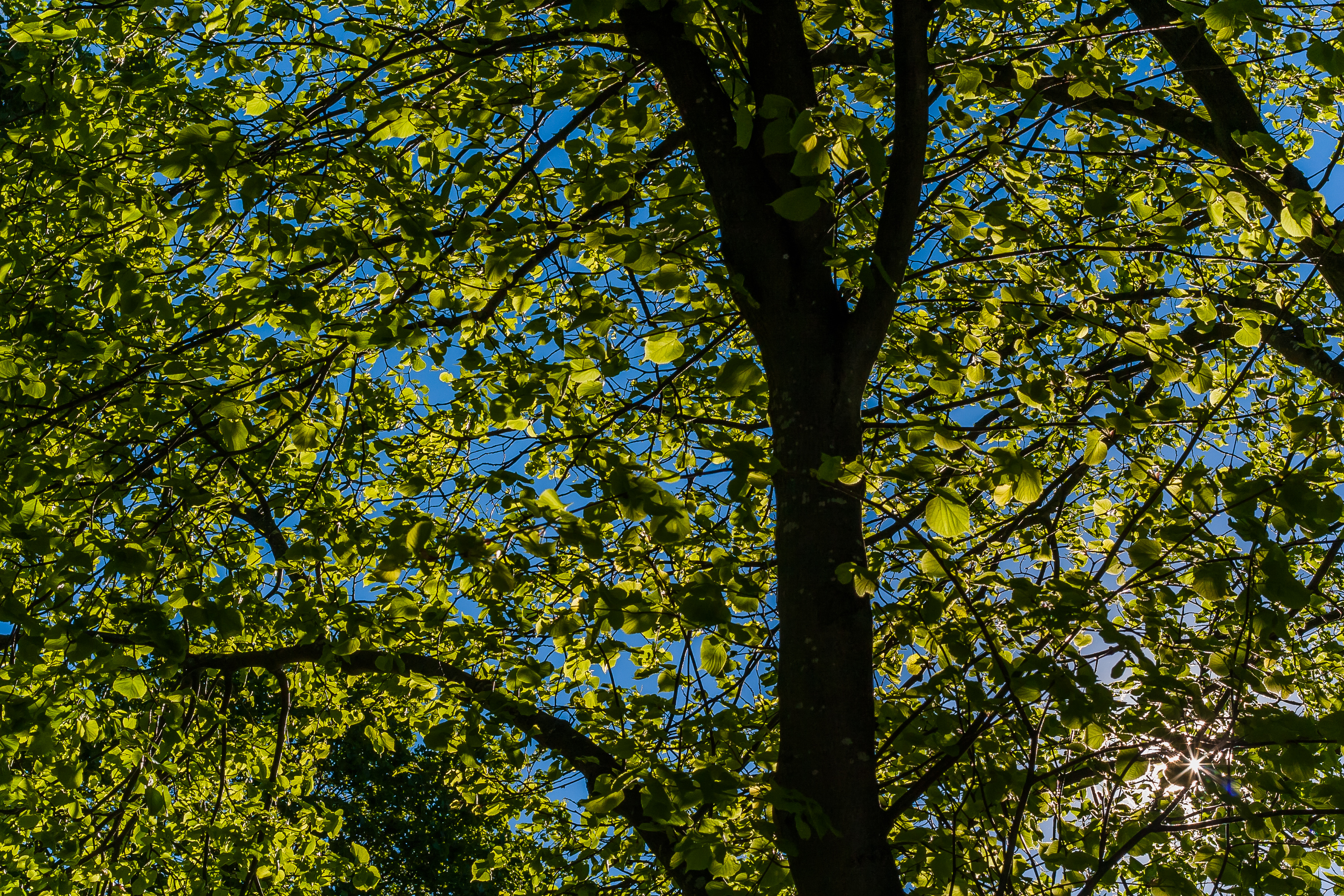
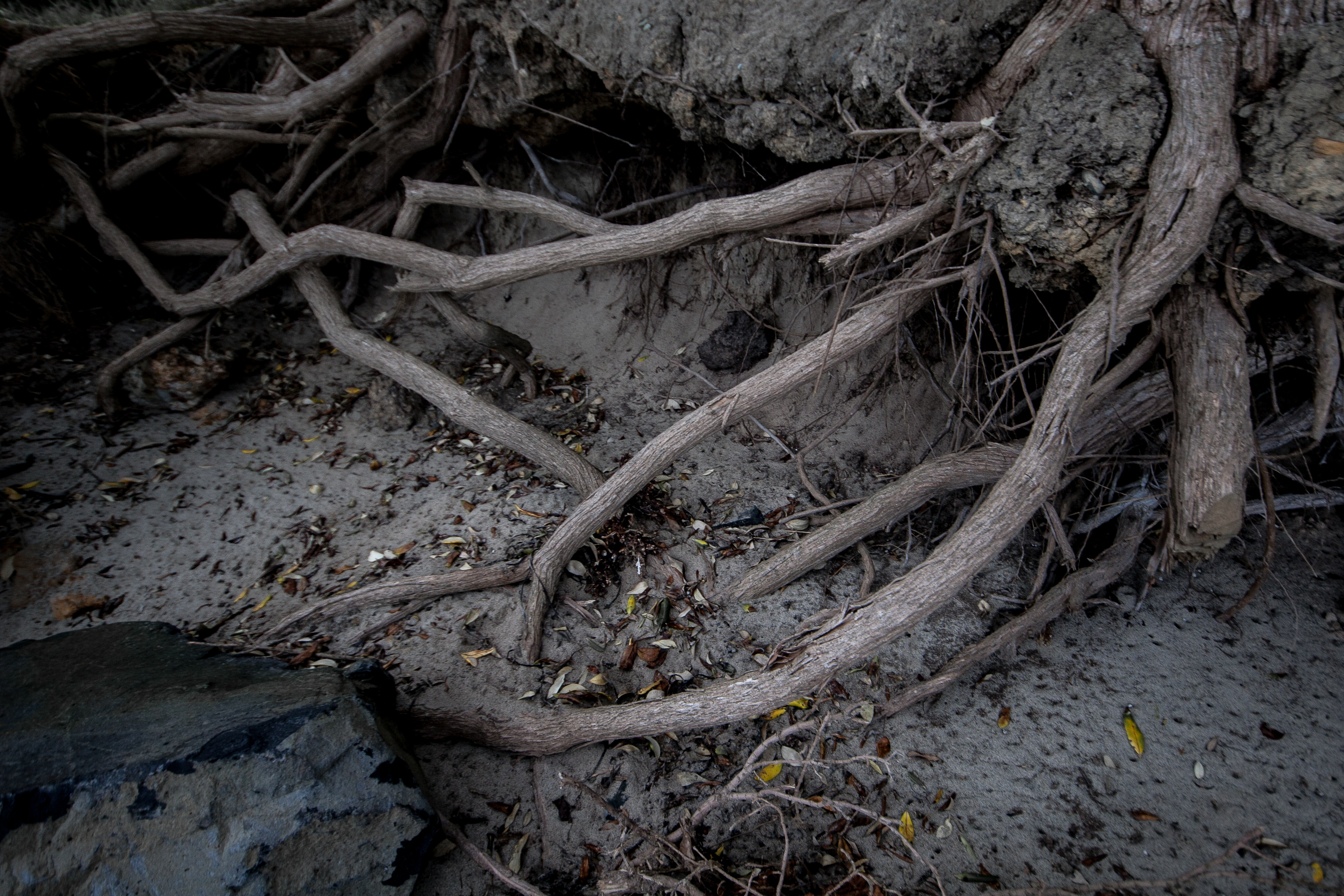
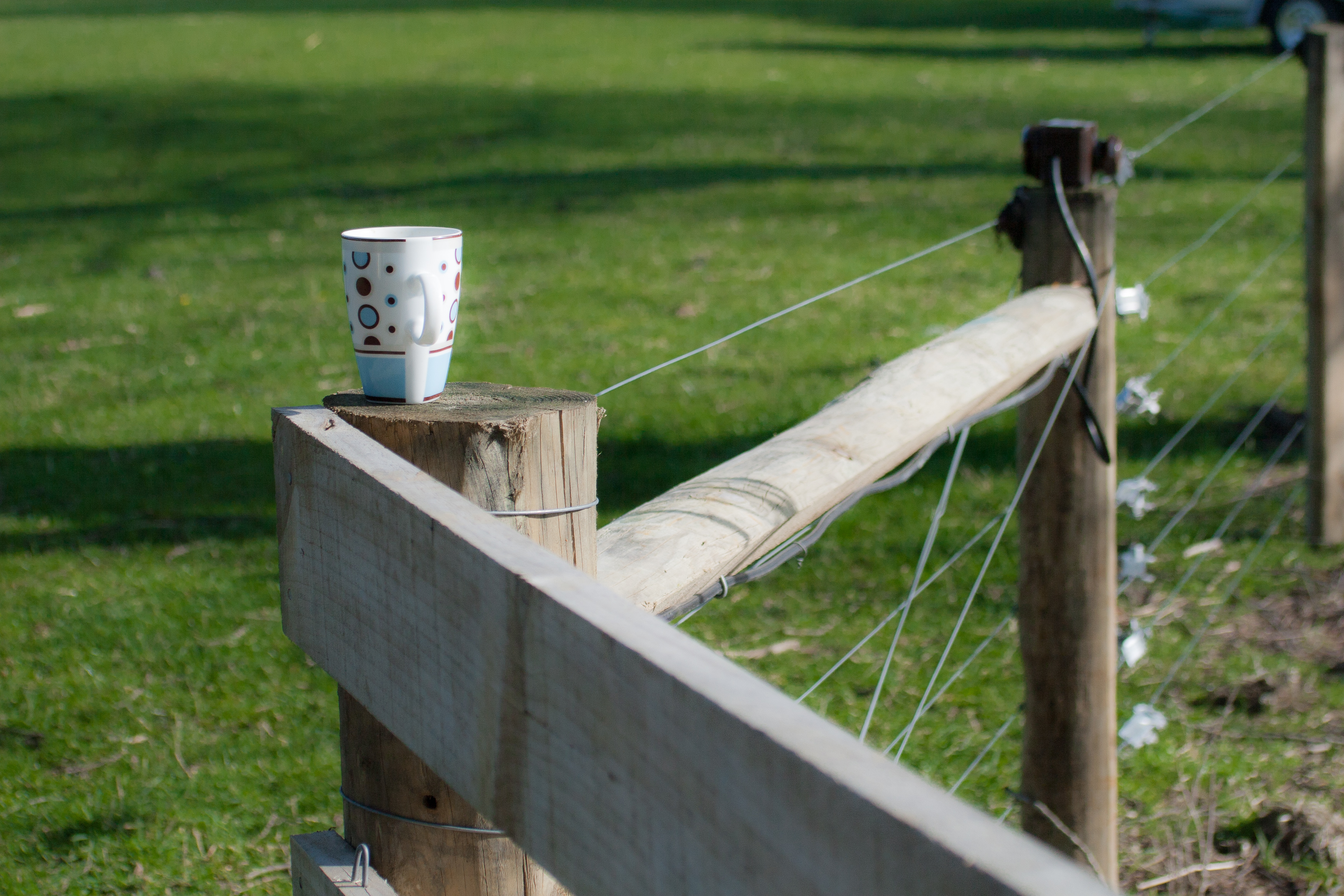
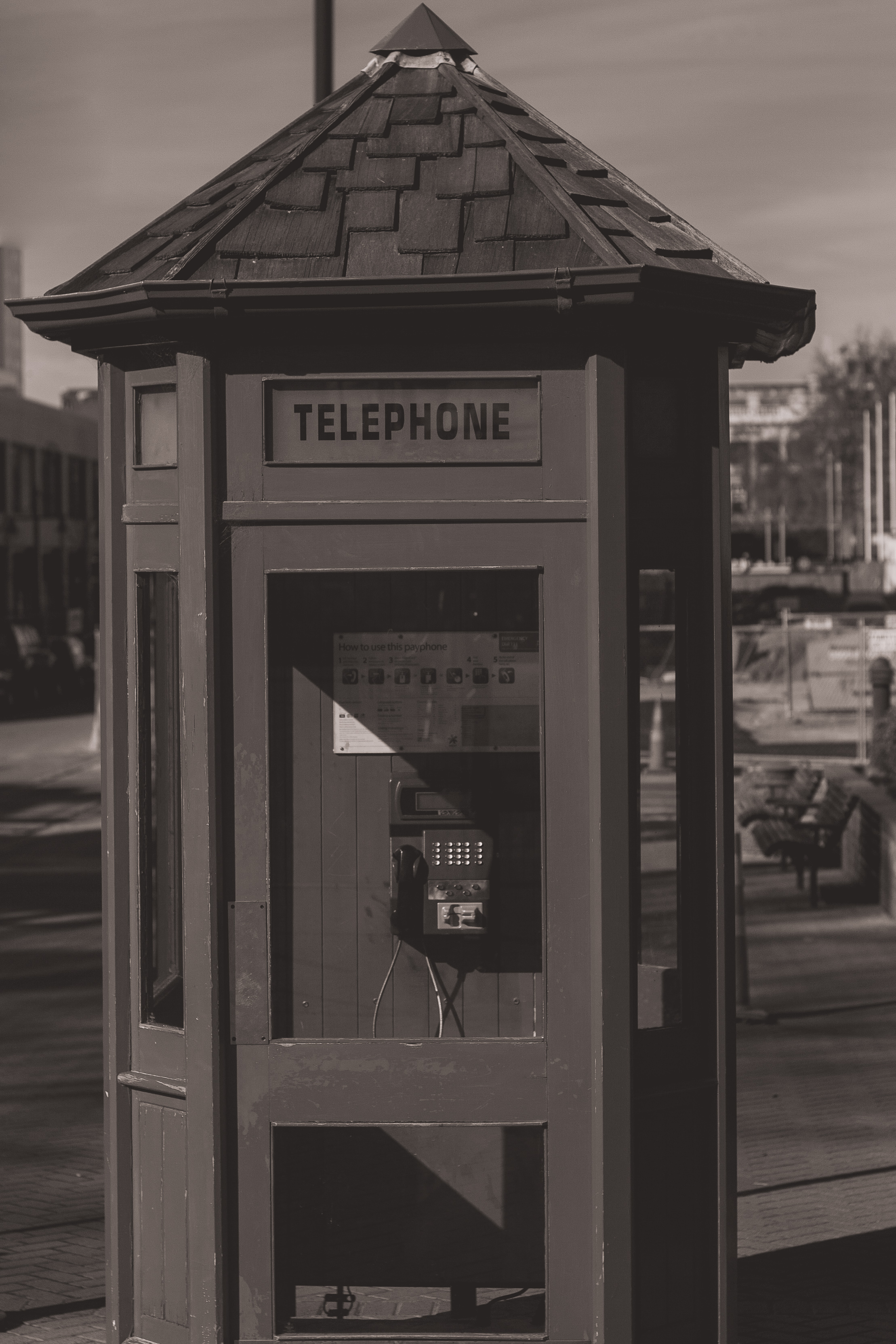
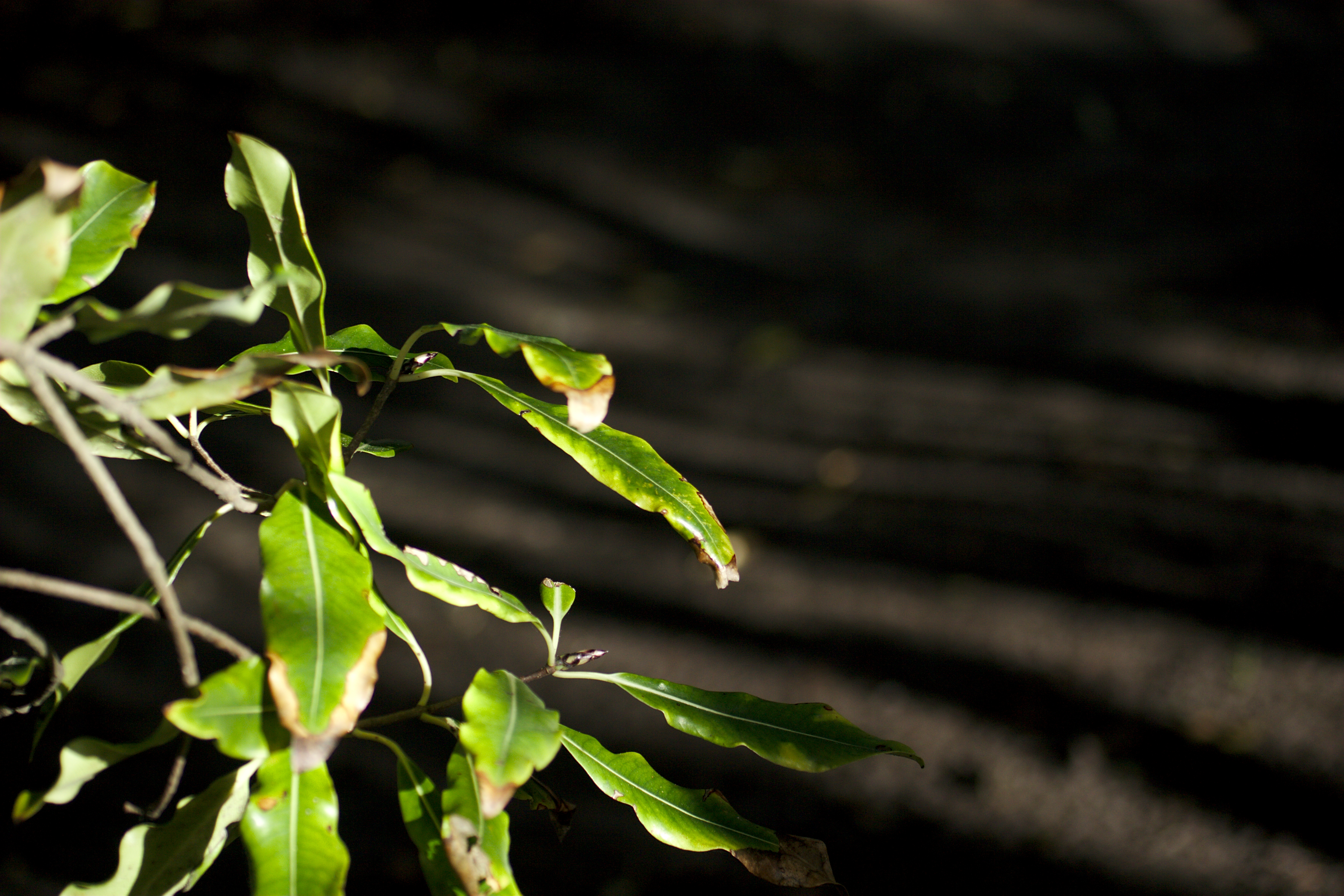
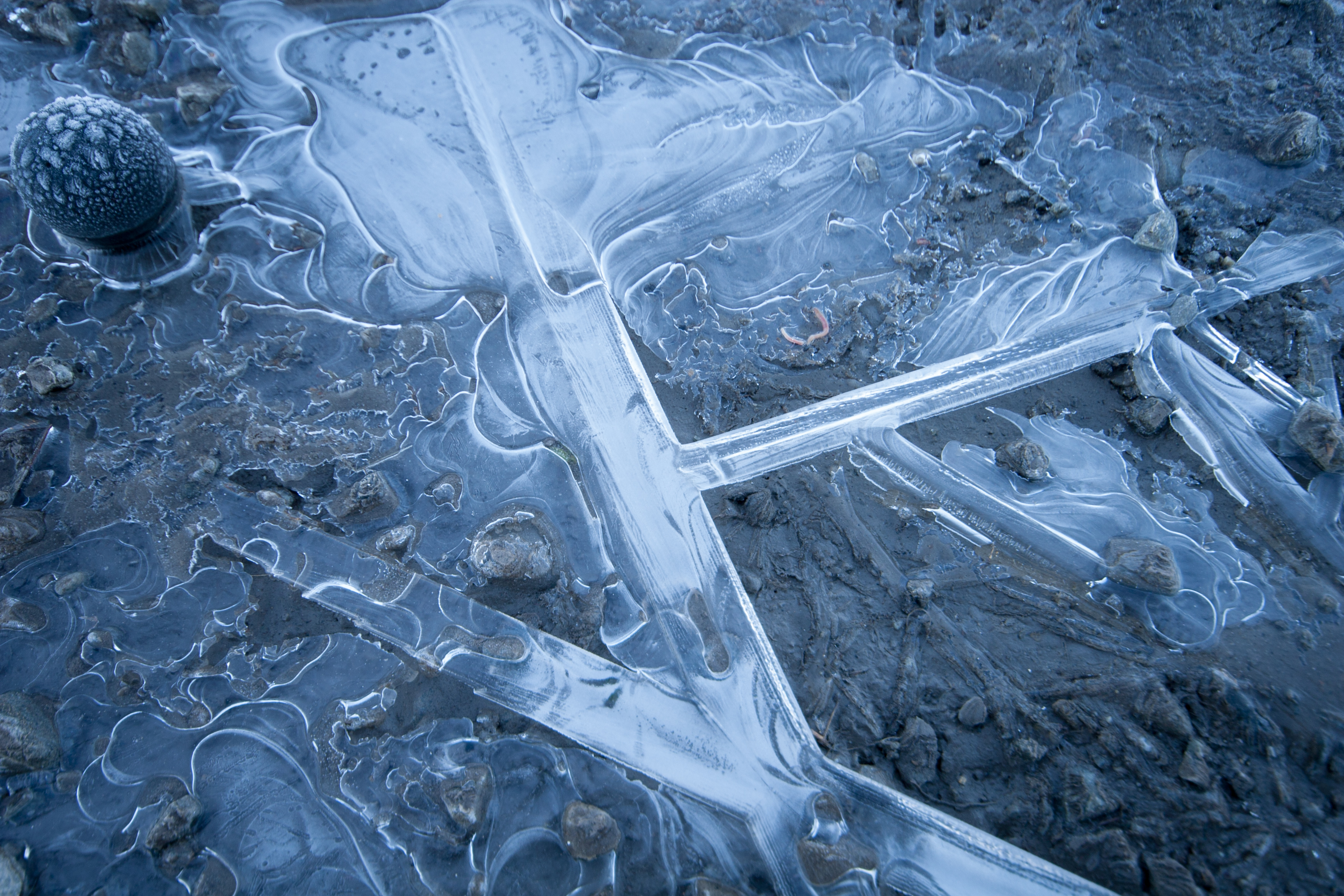
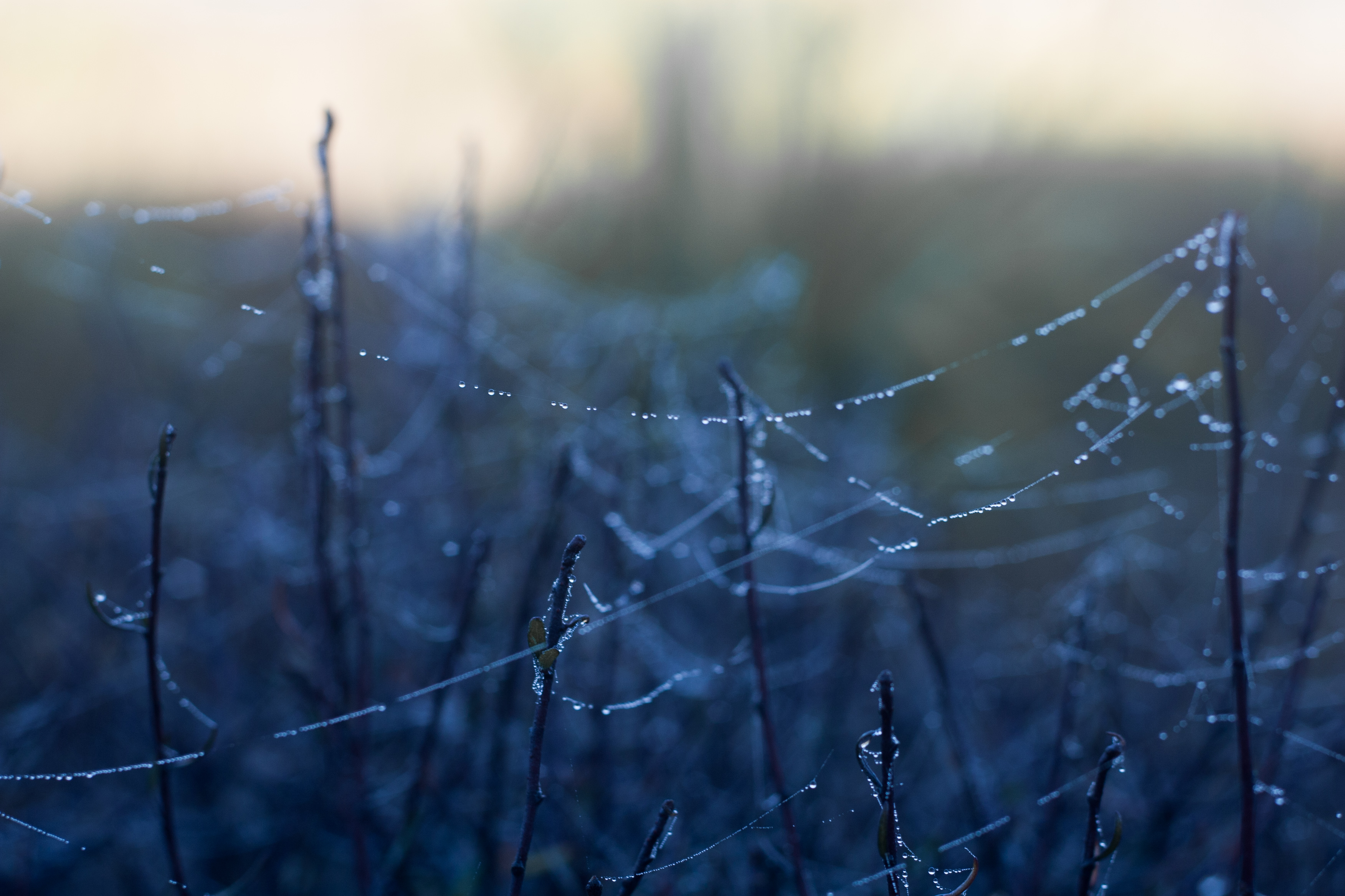
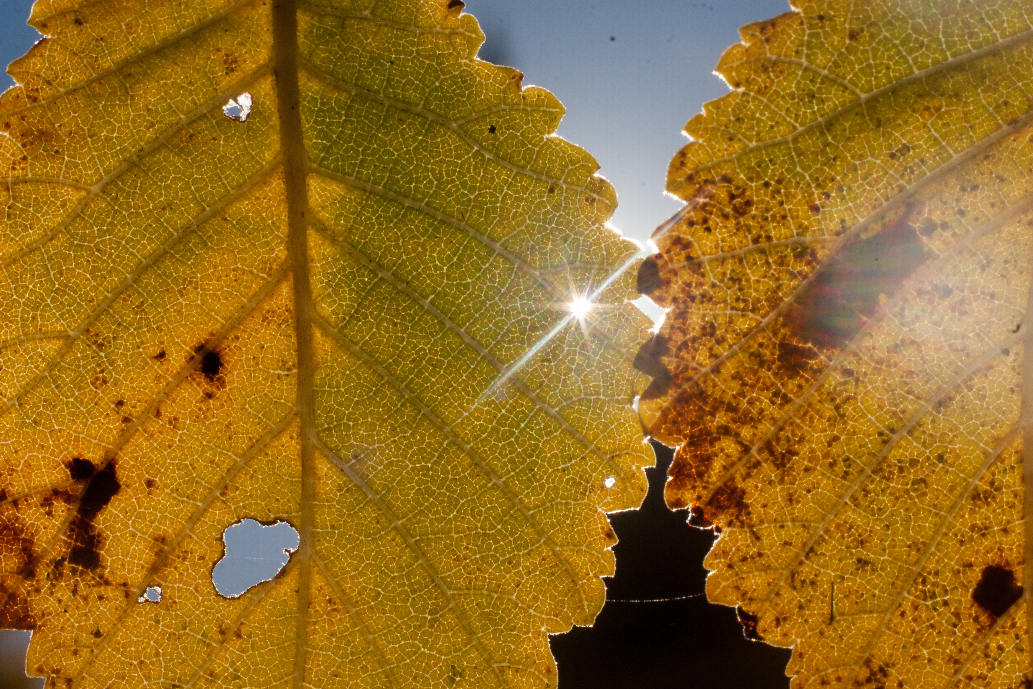
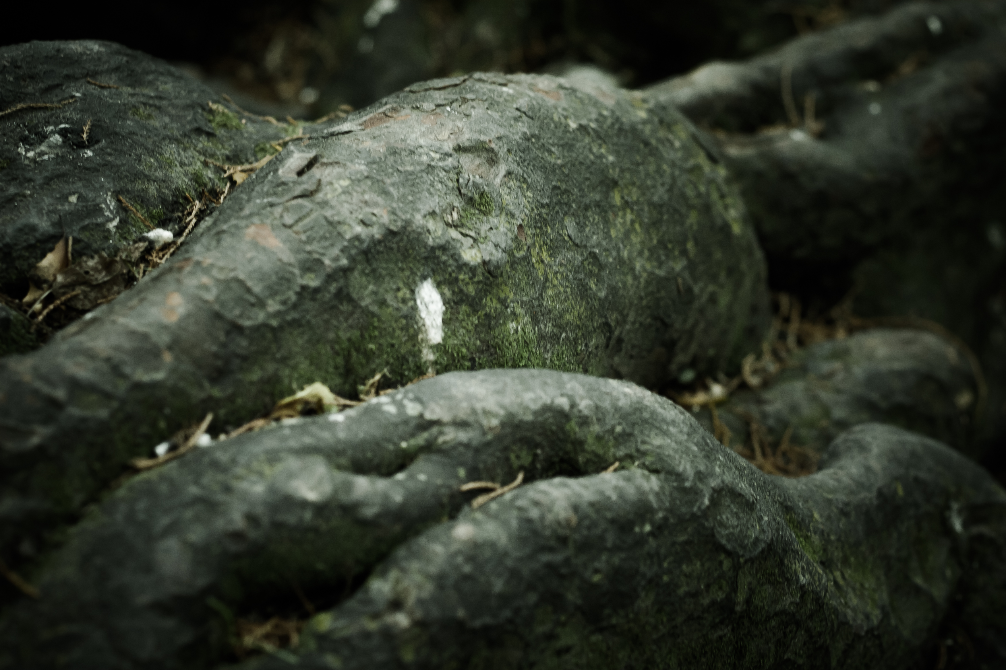
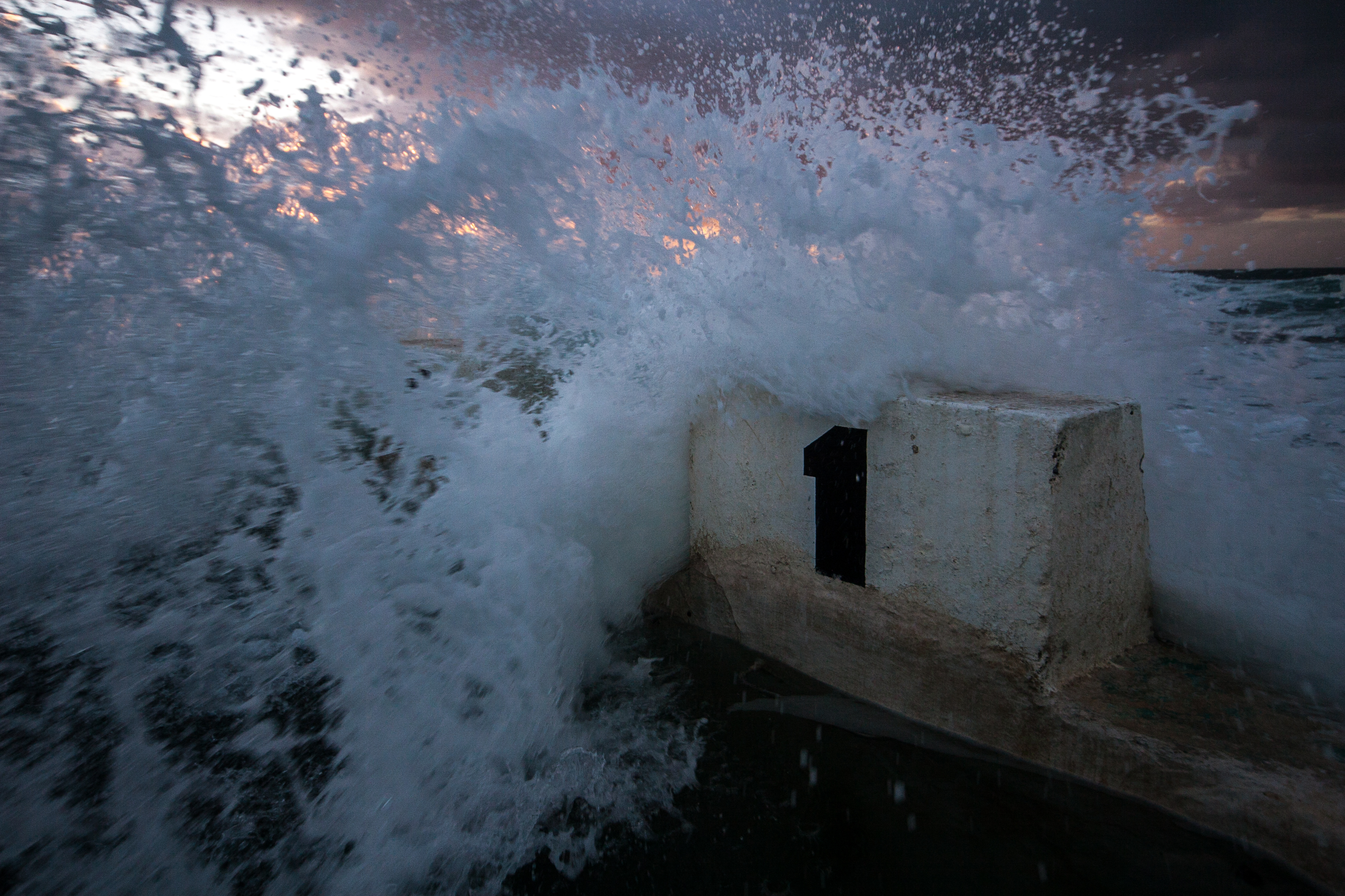
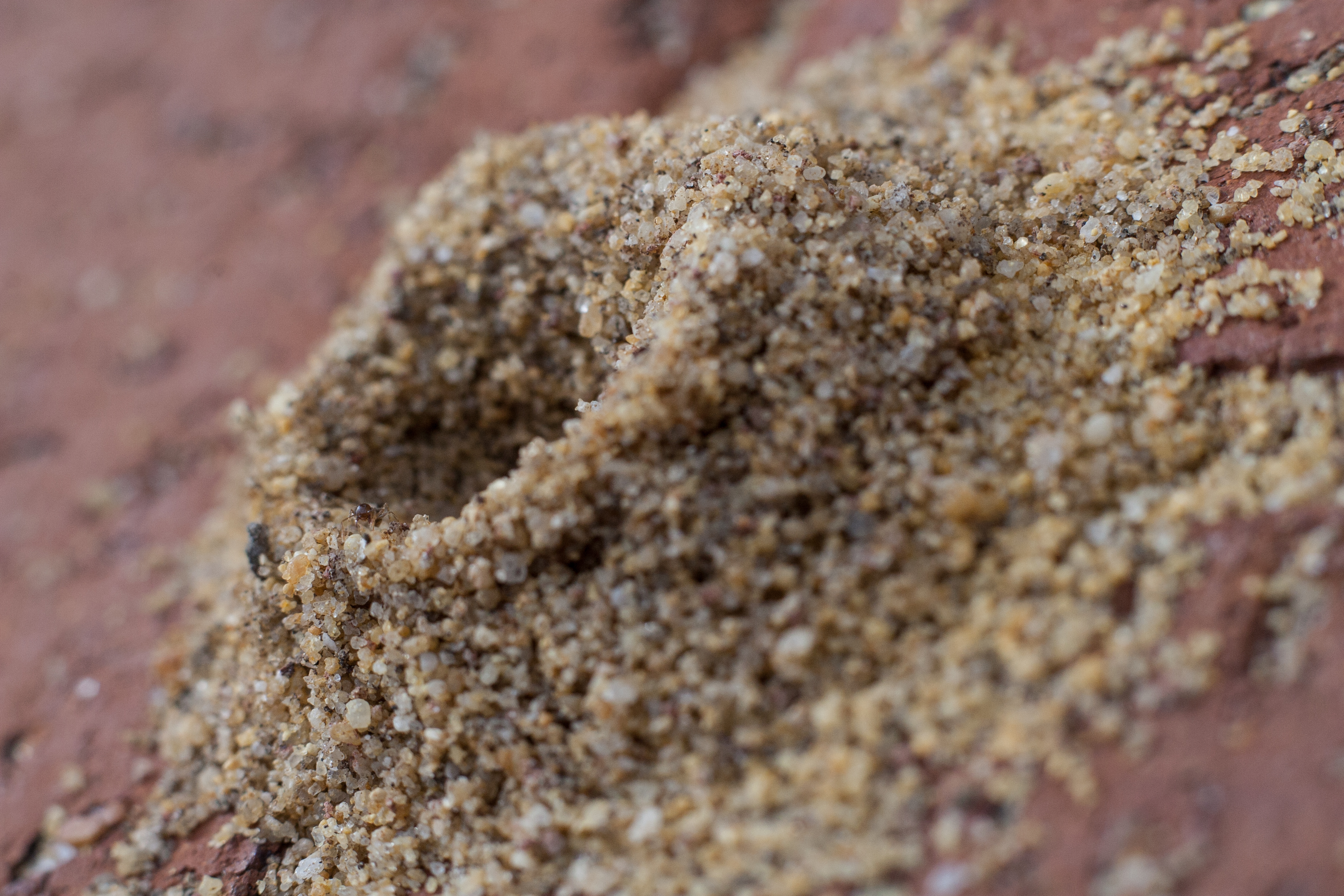
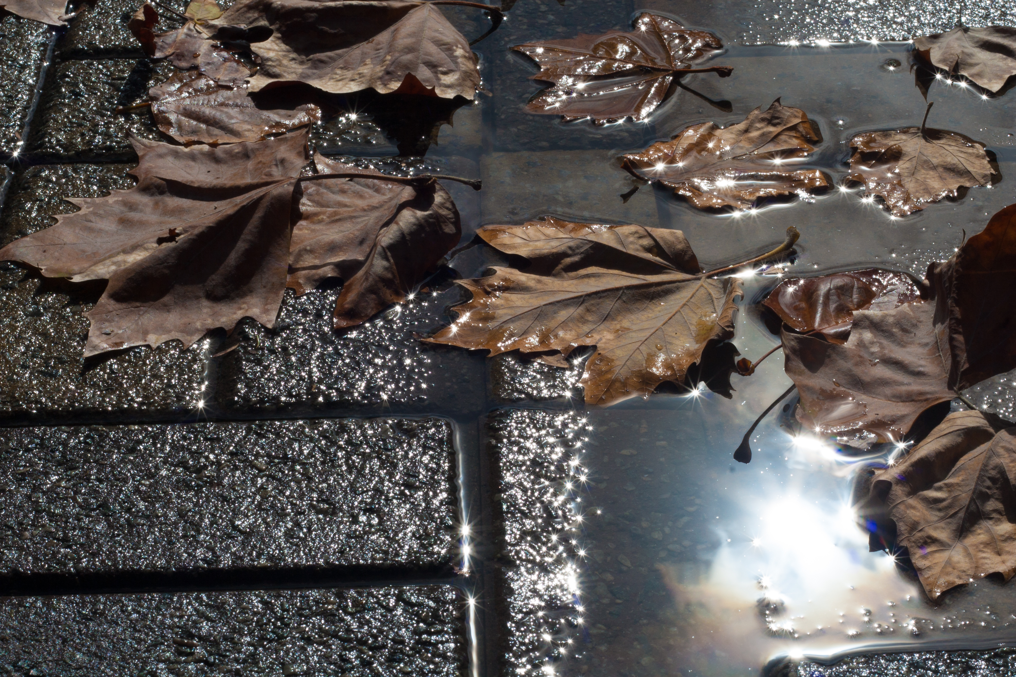
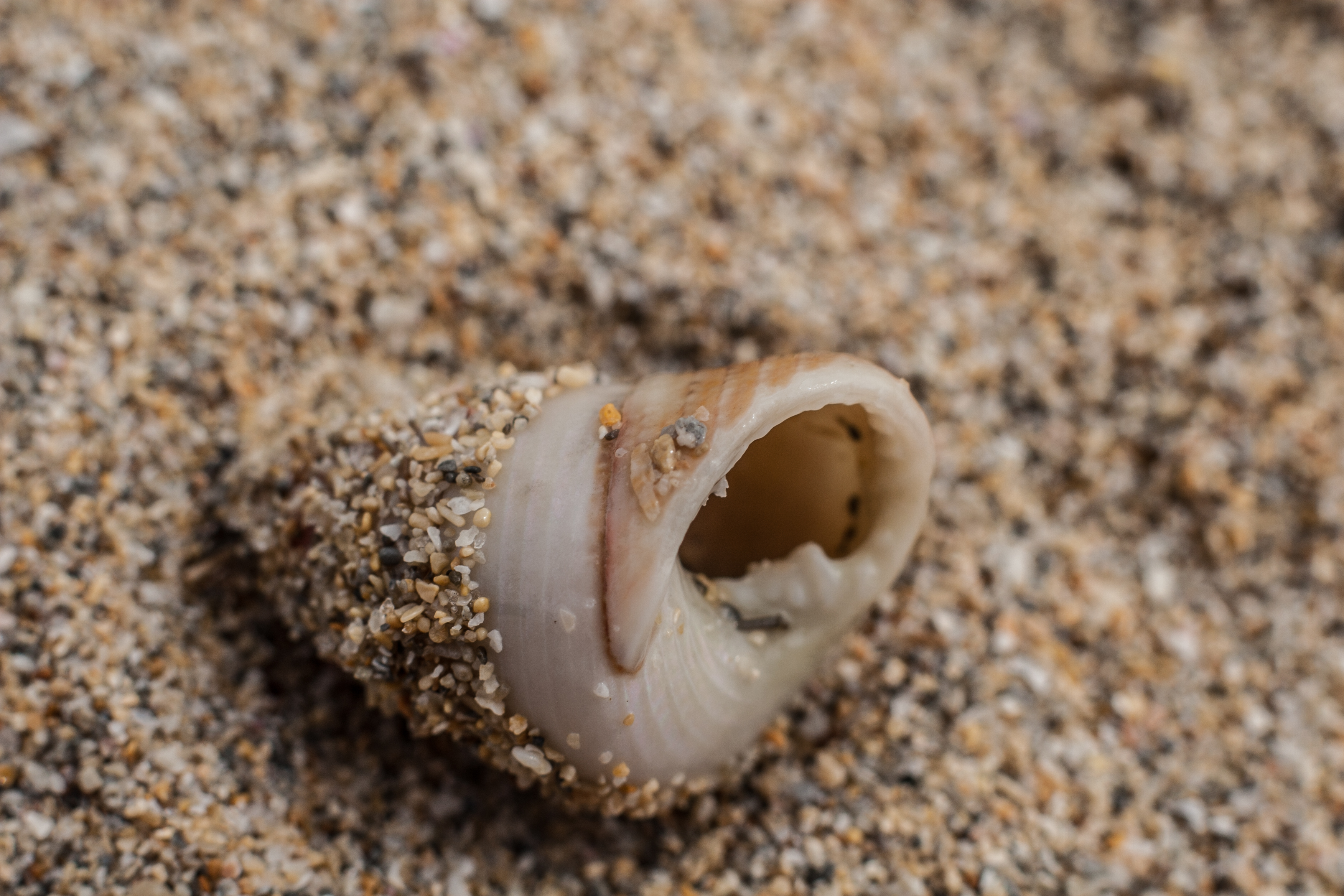
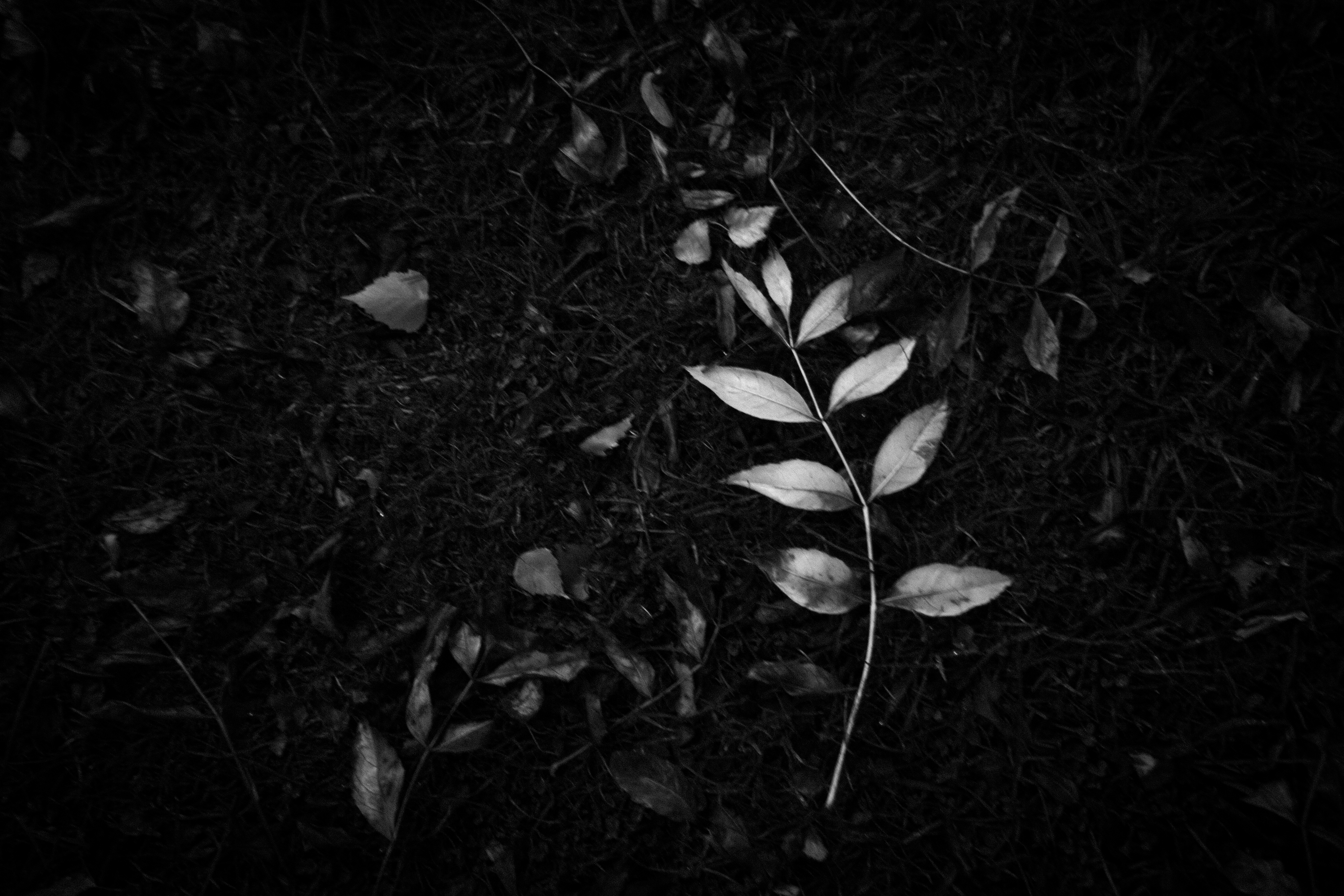
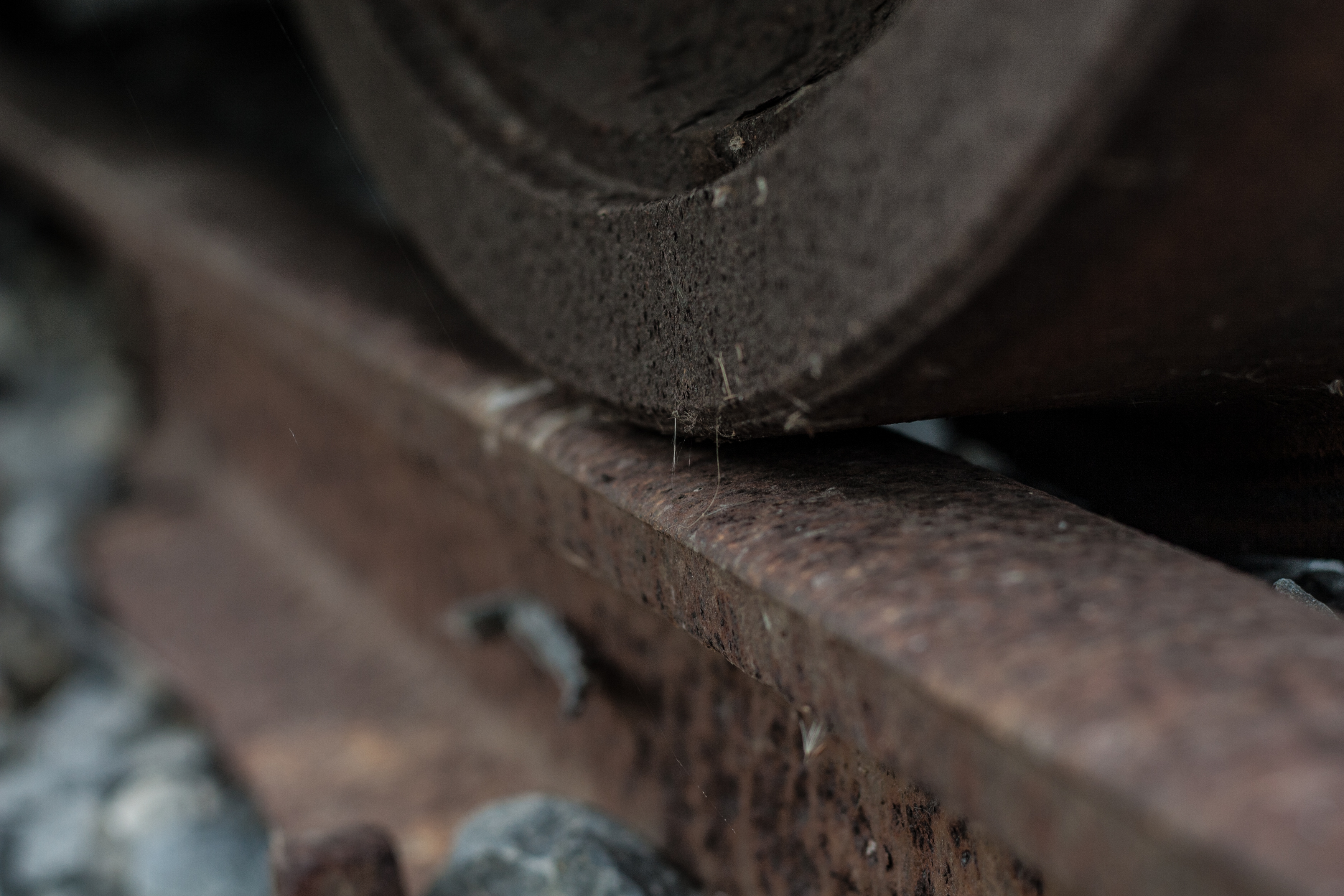
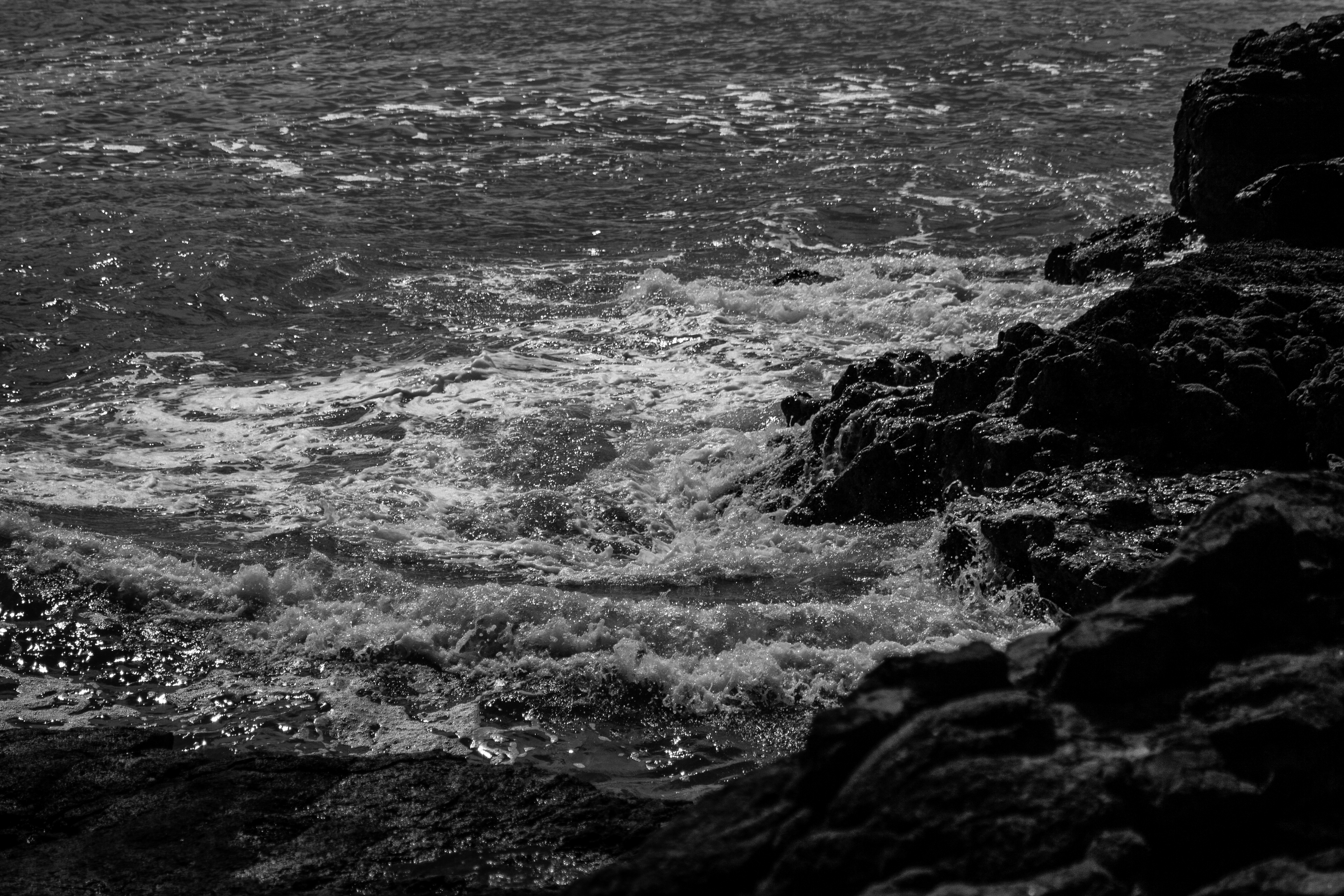
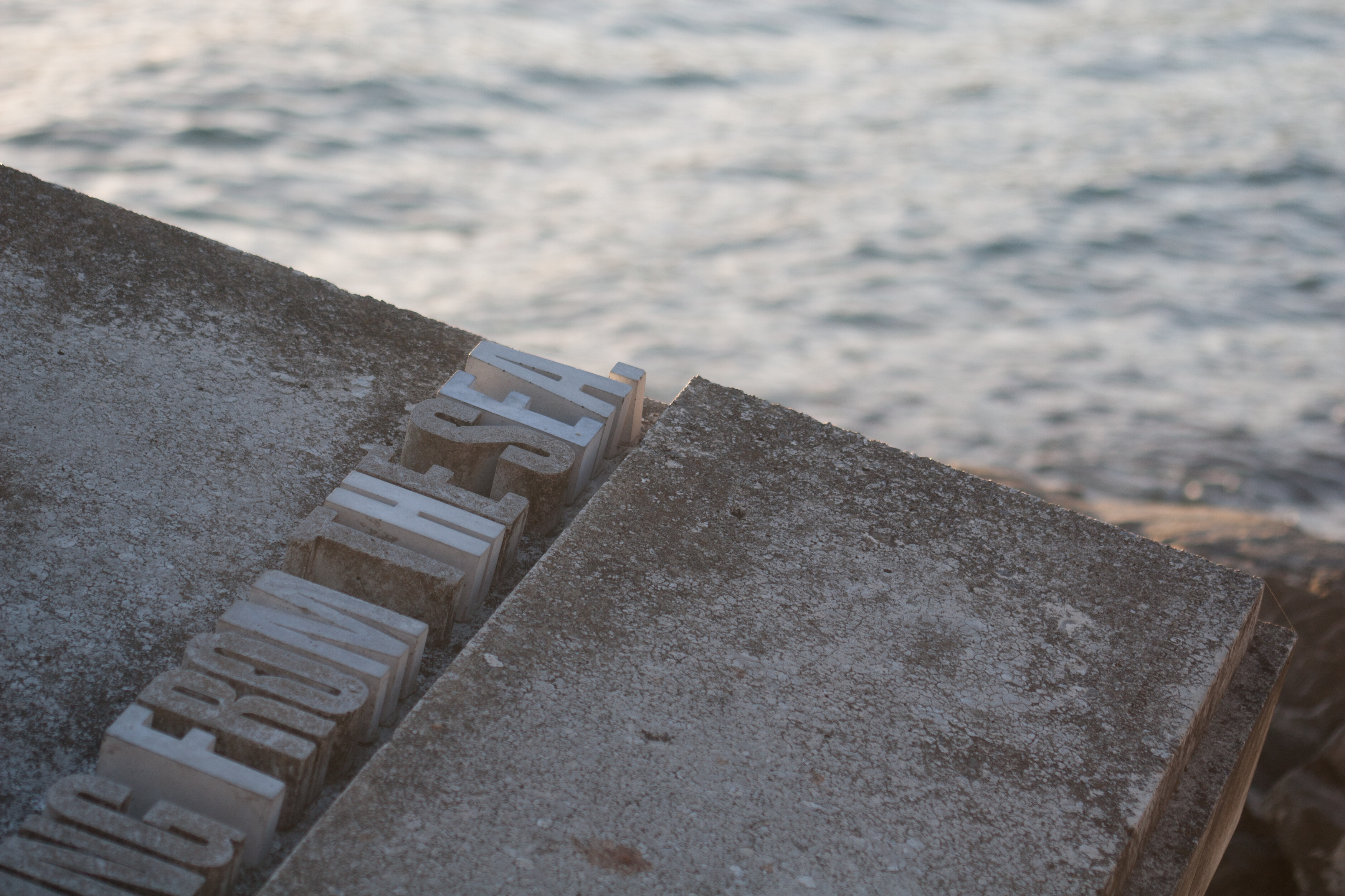
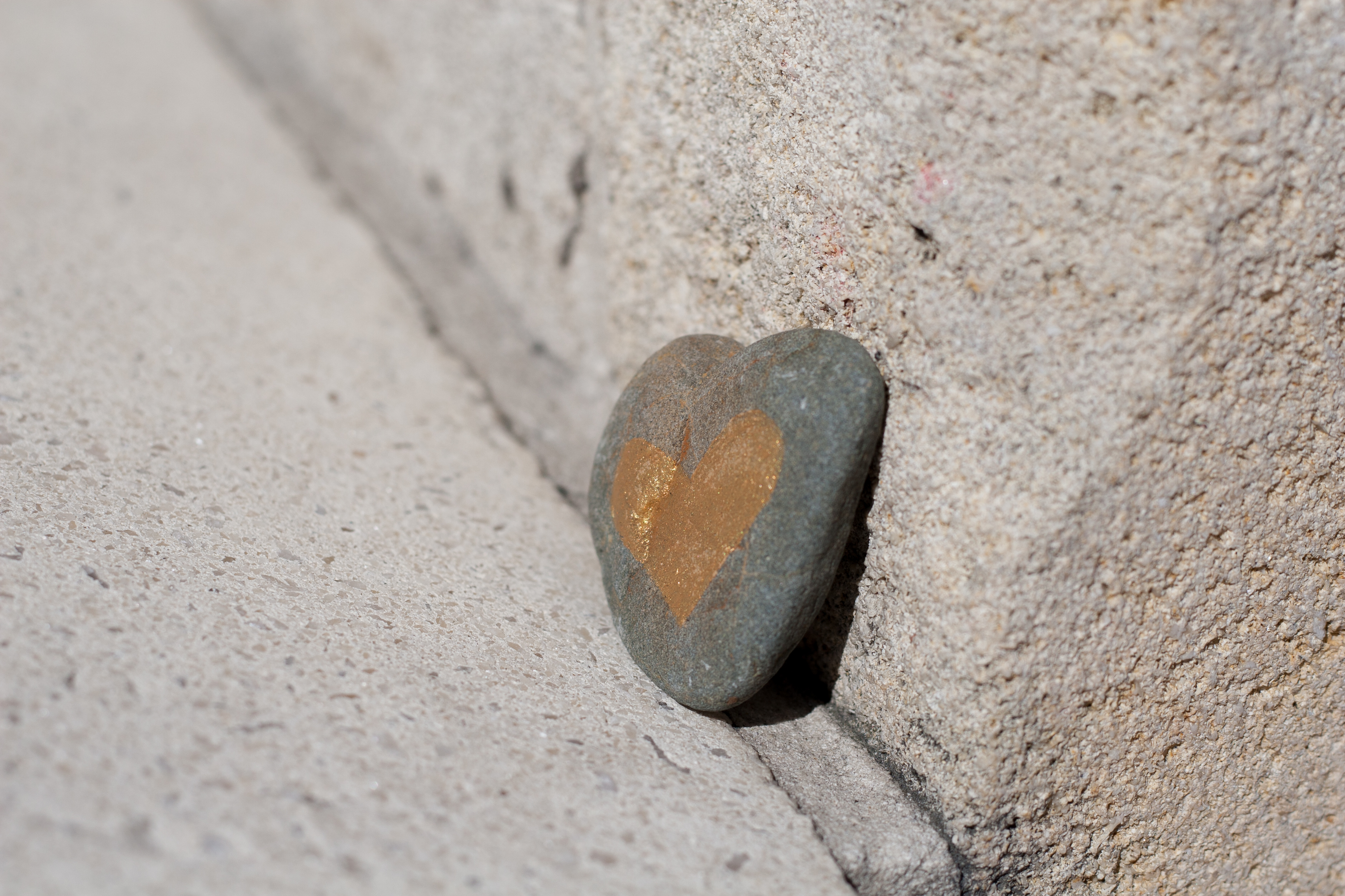
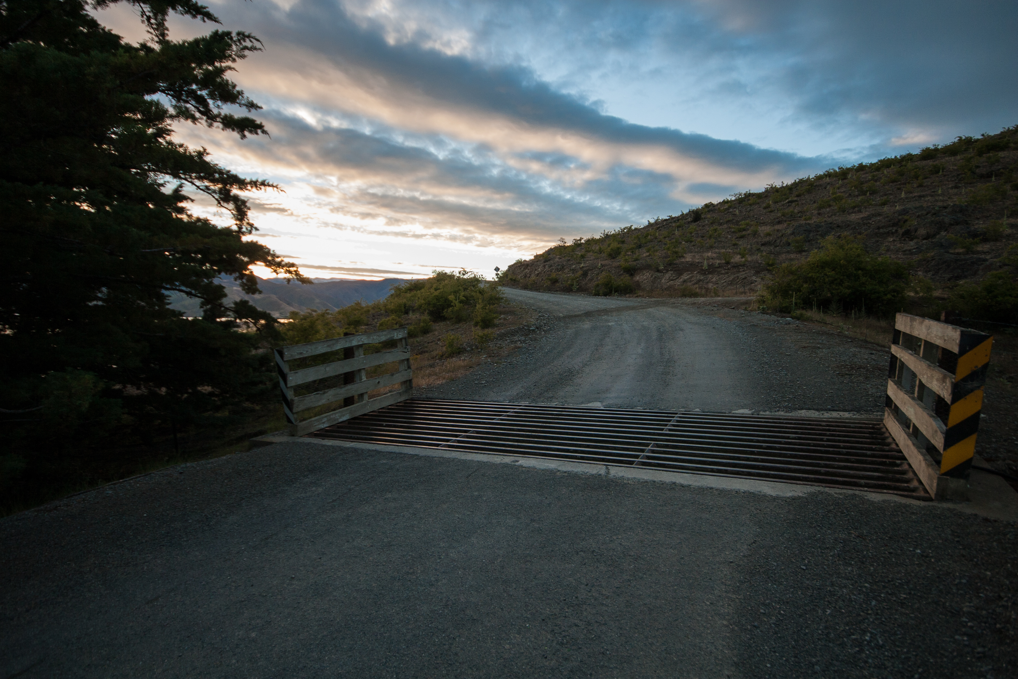
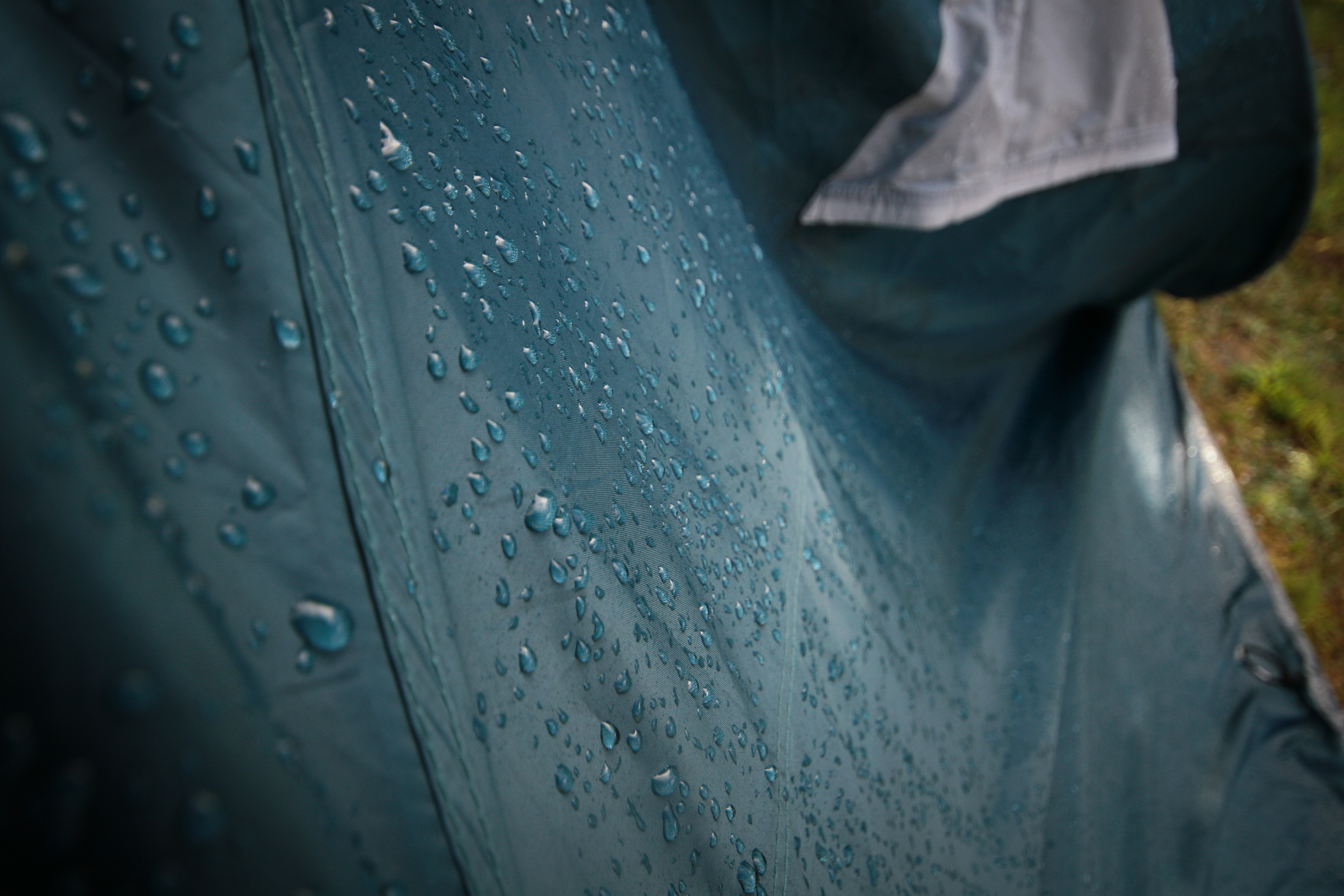
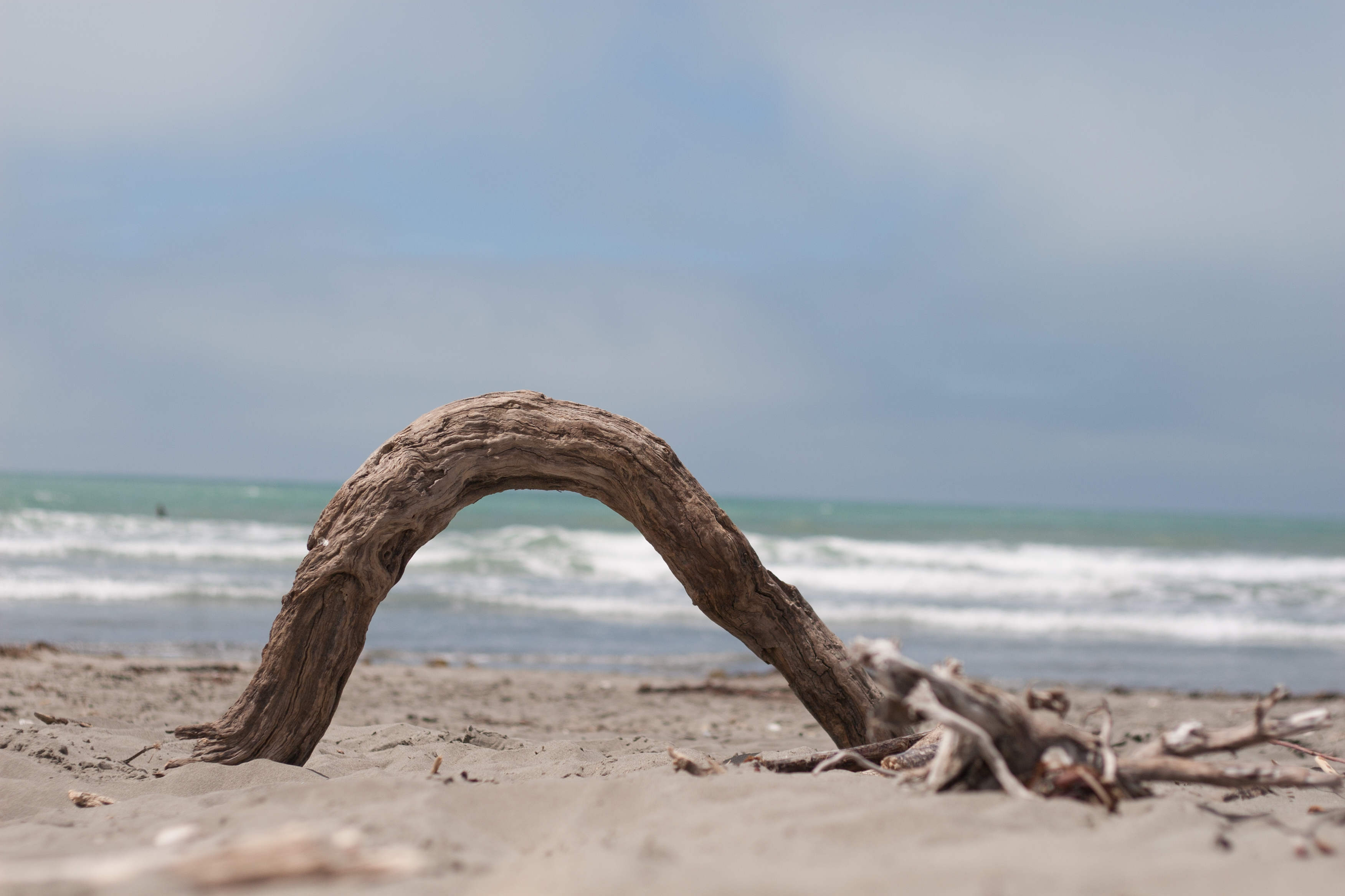
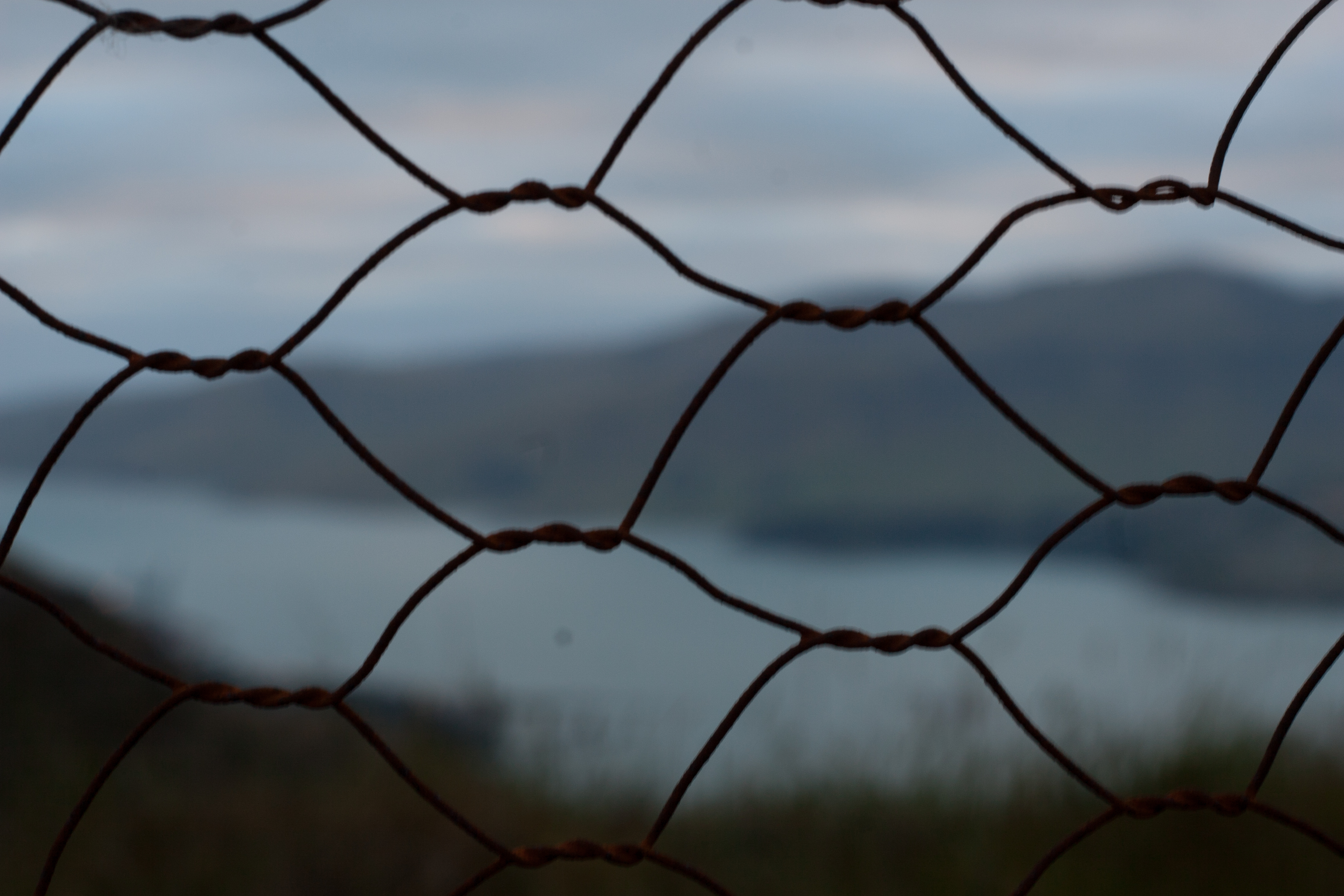
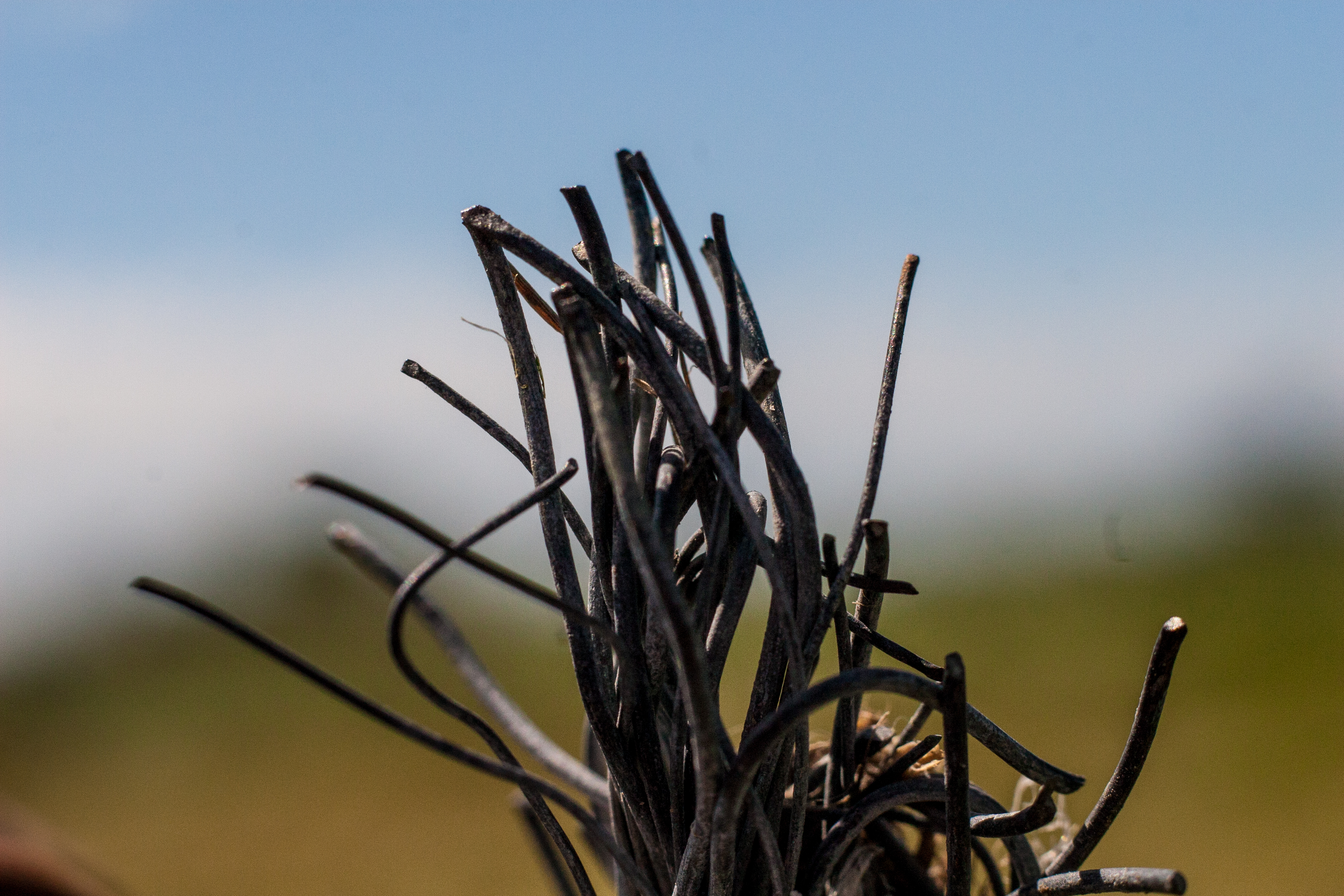
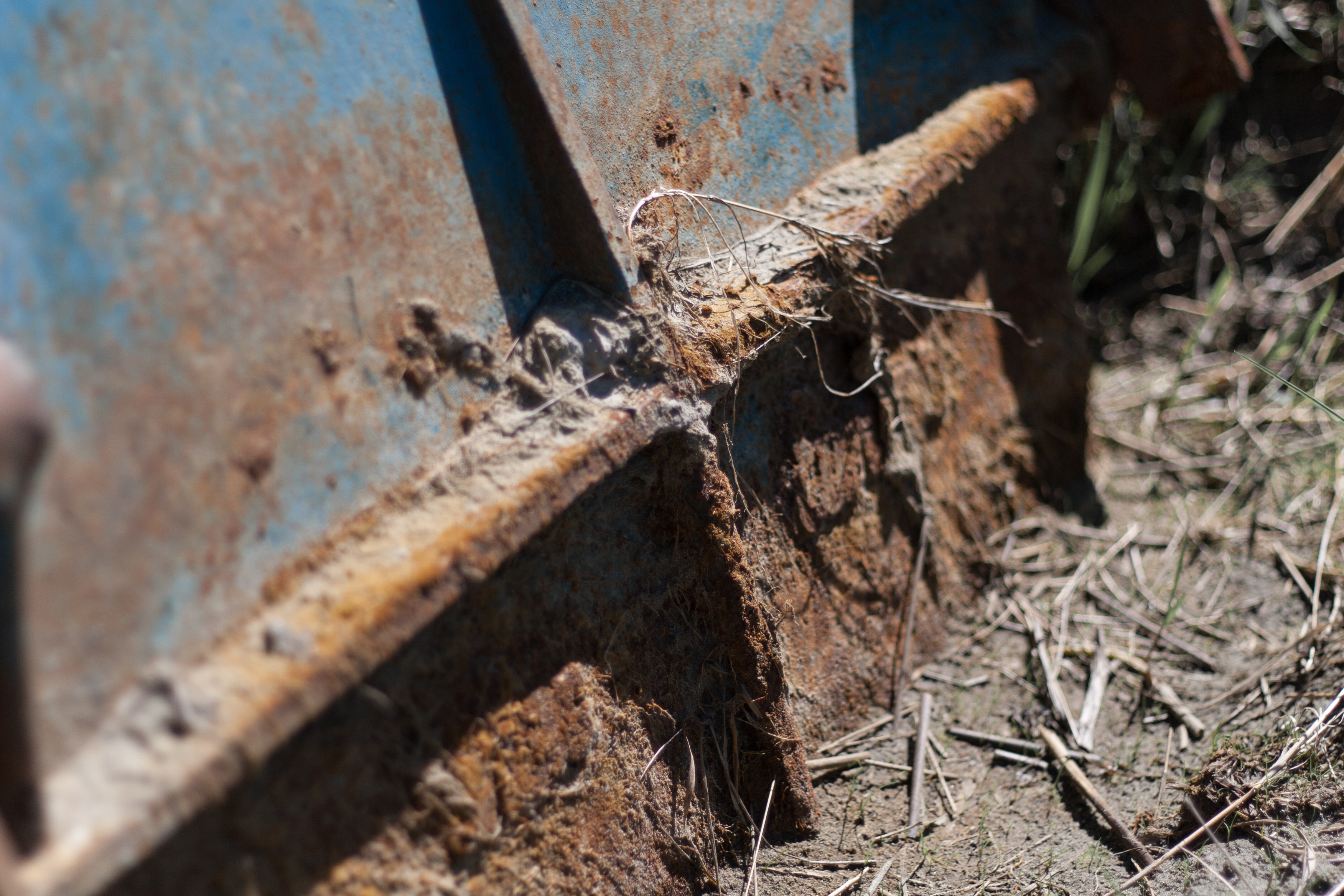
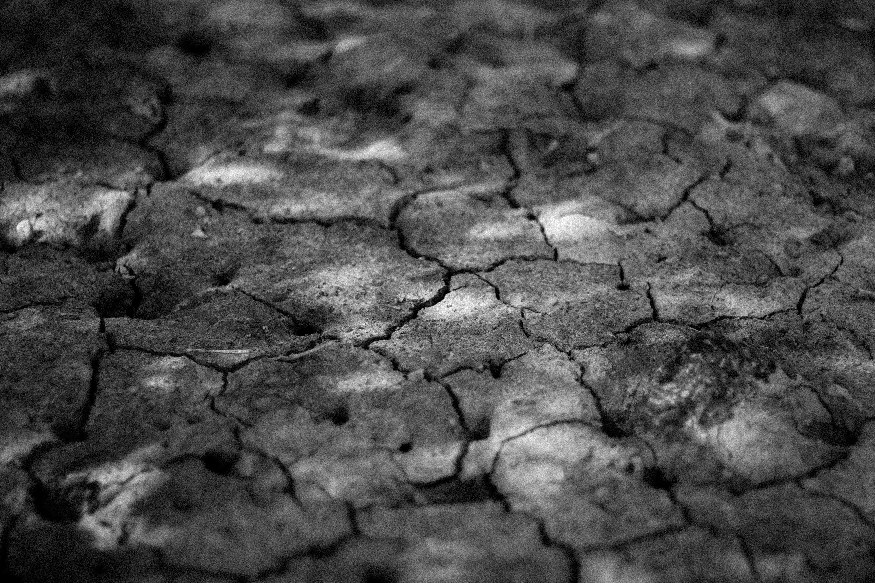
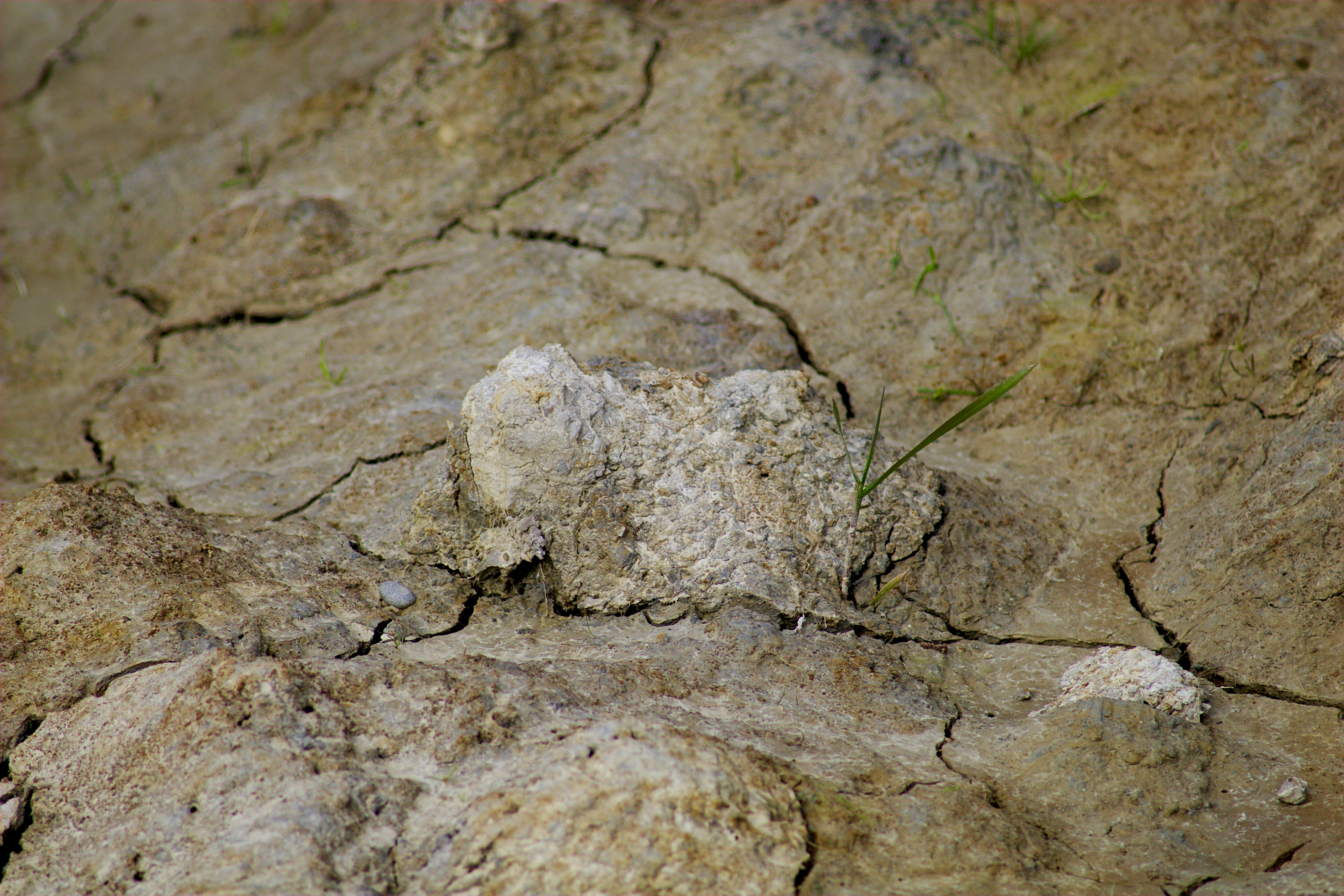
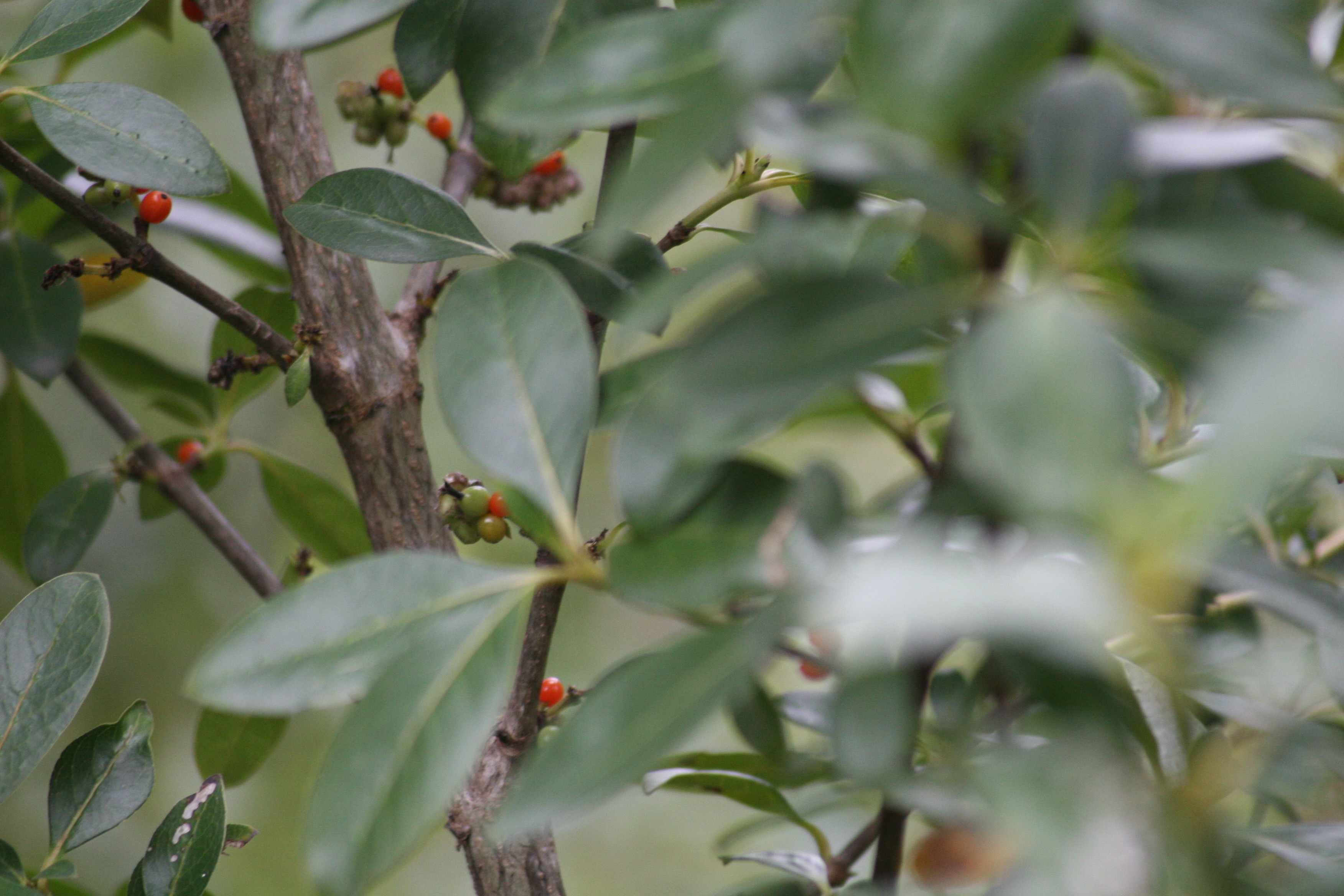
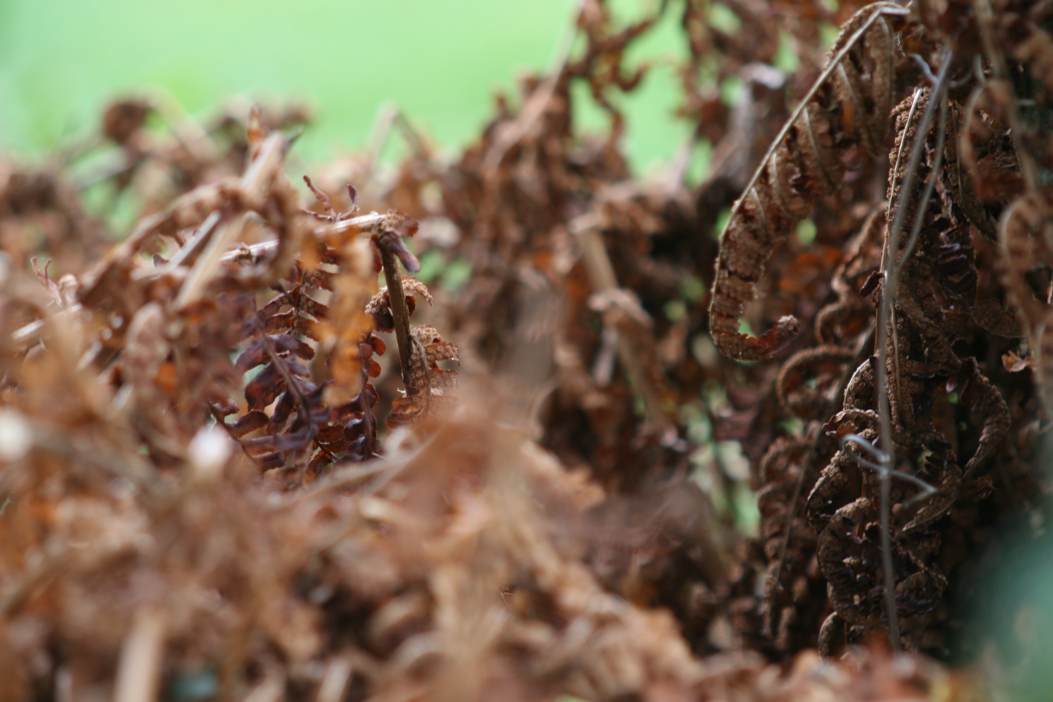
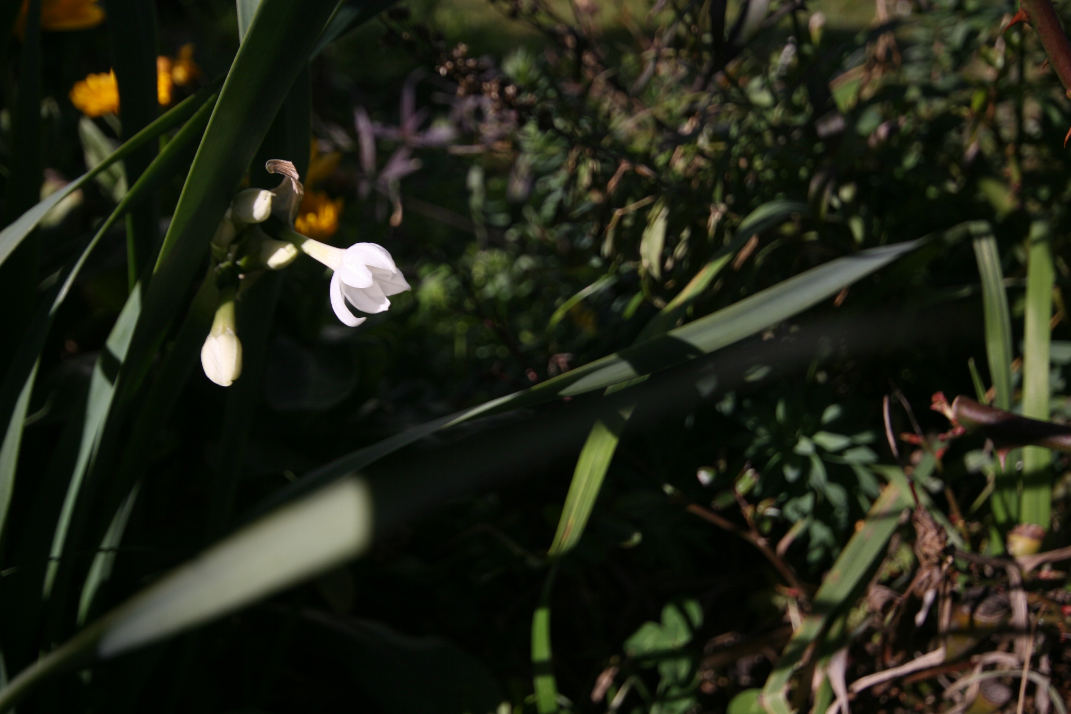
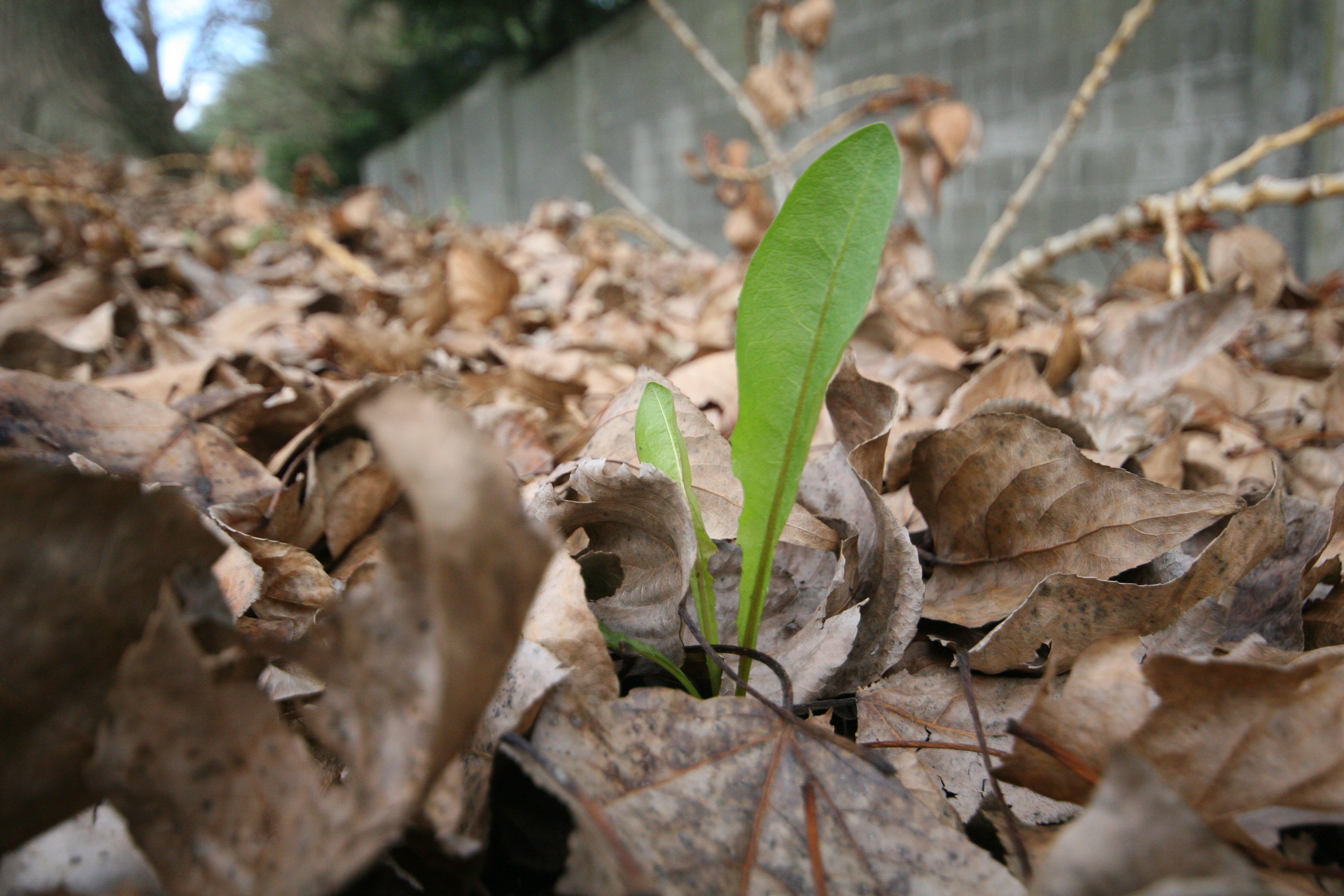
slipping through the cracks
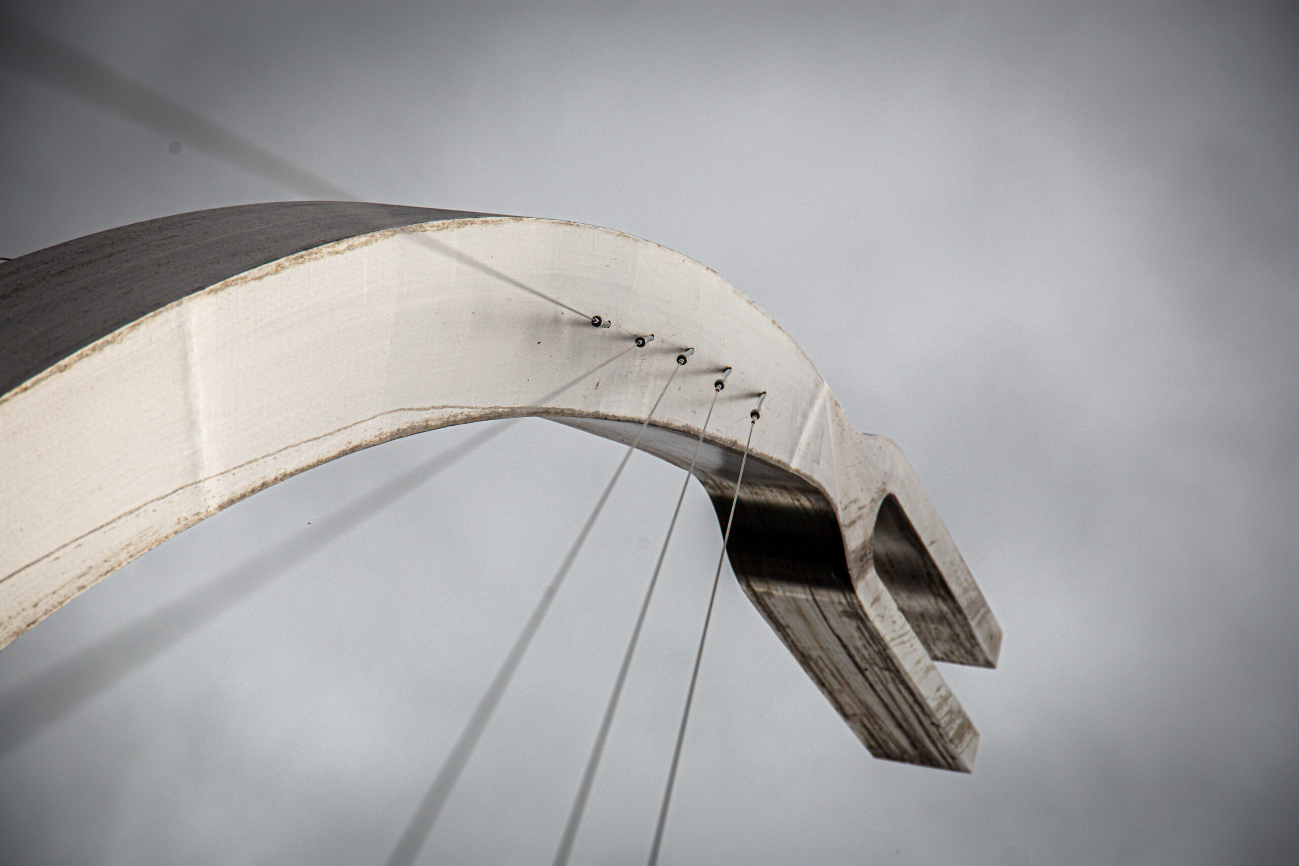
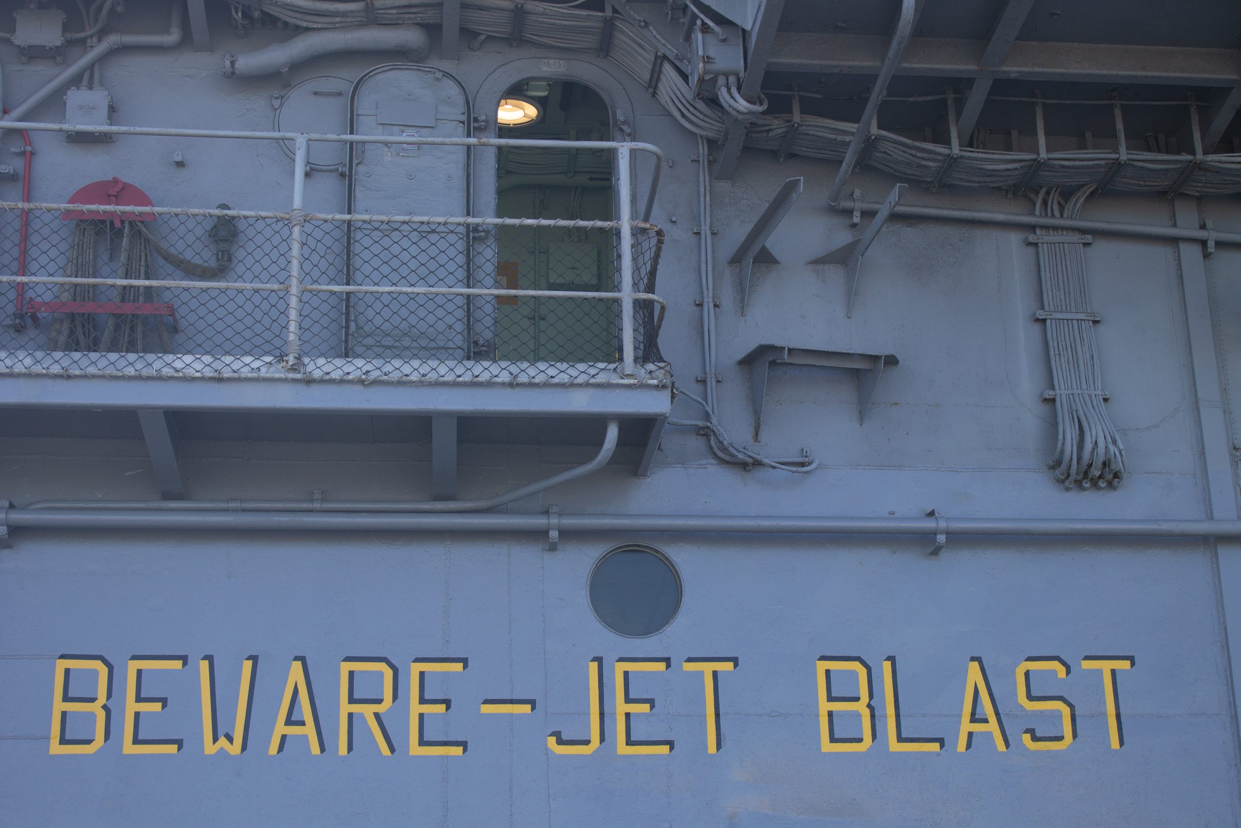
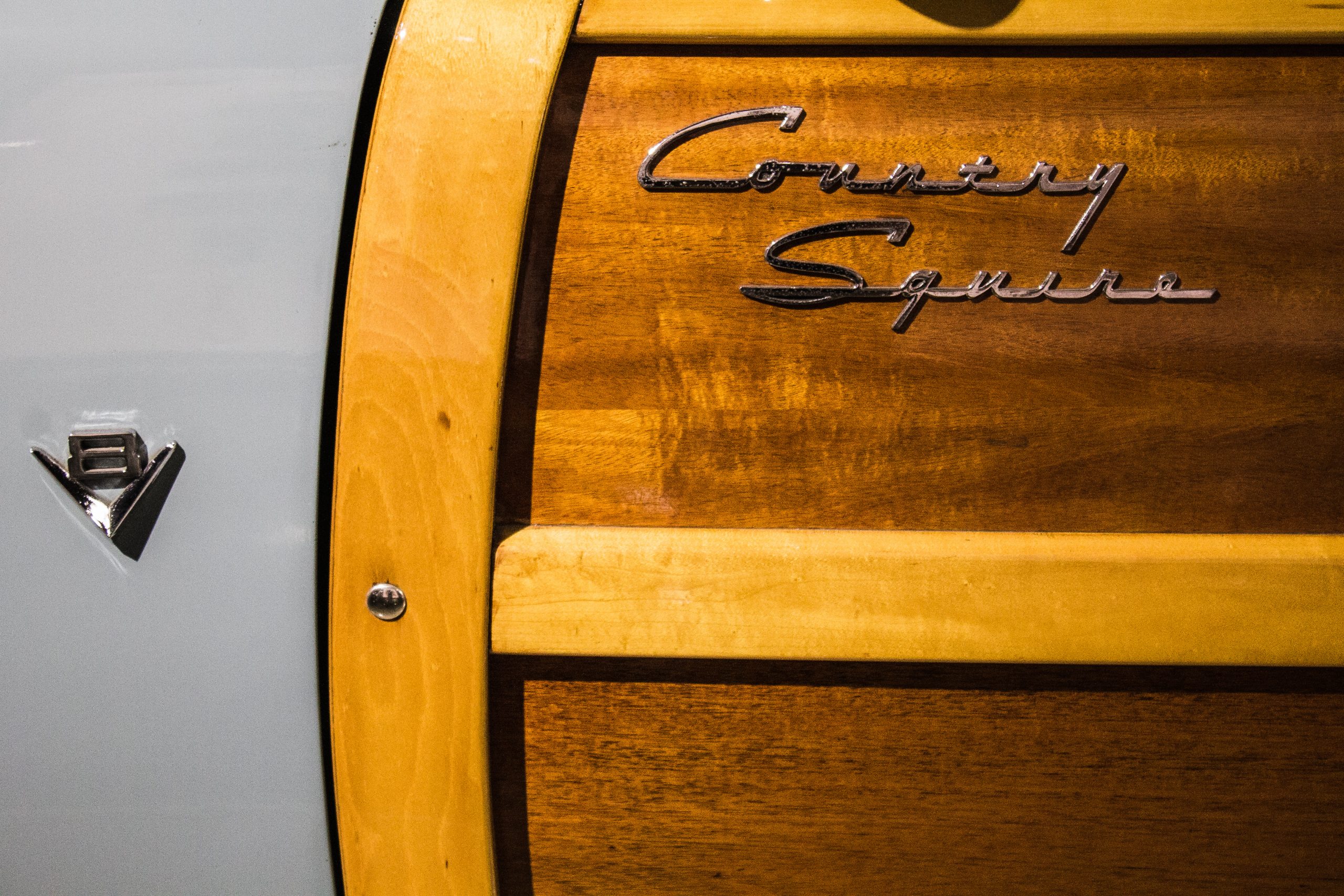
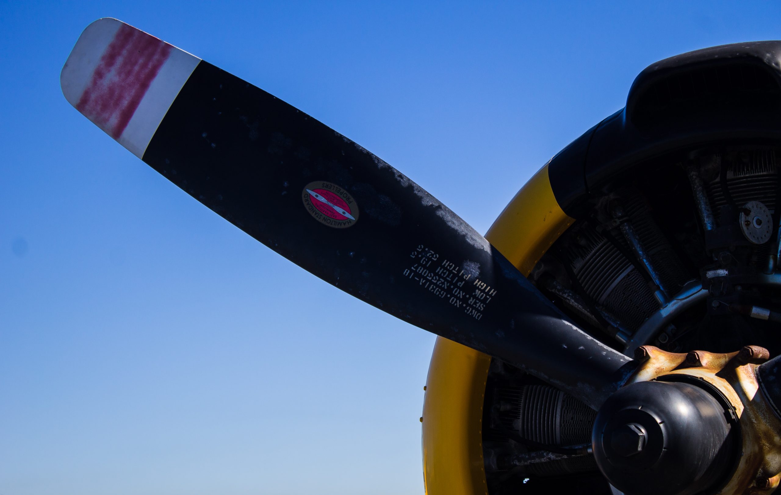
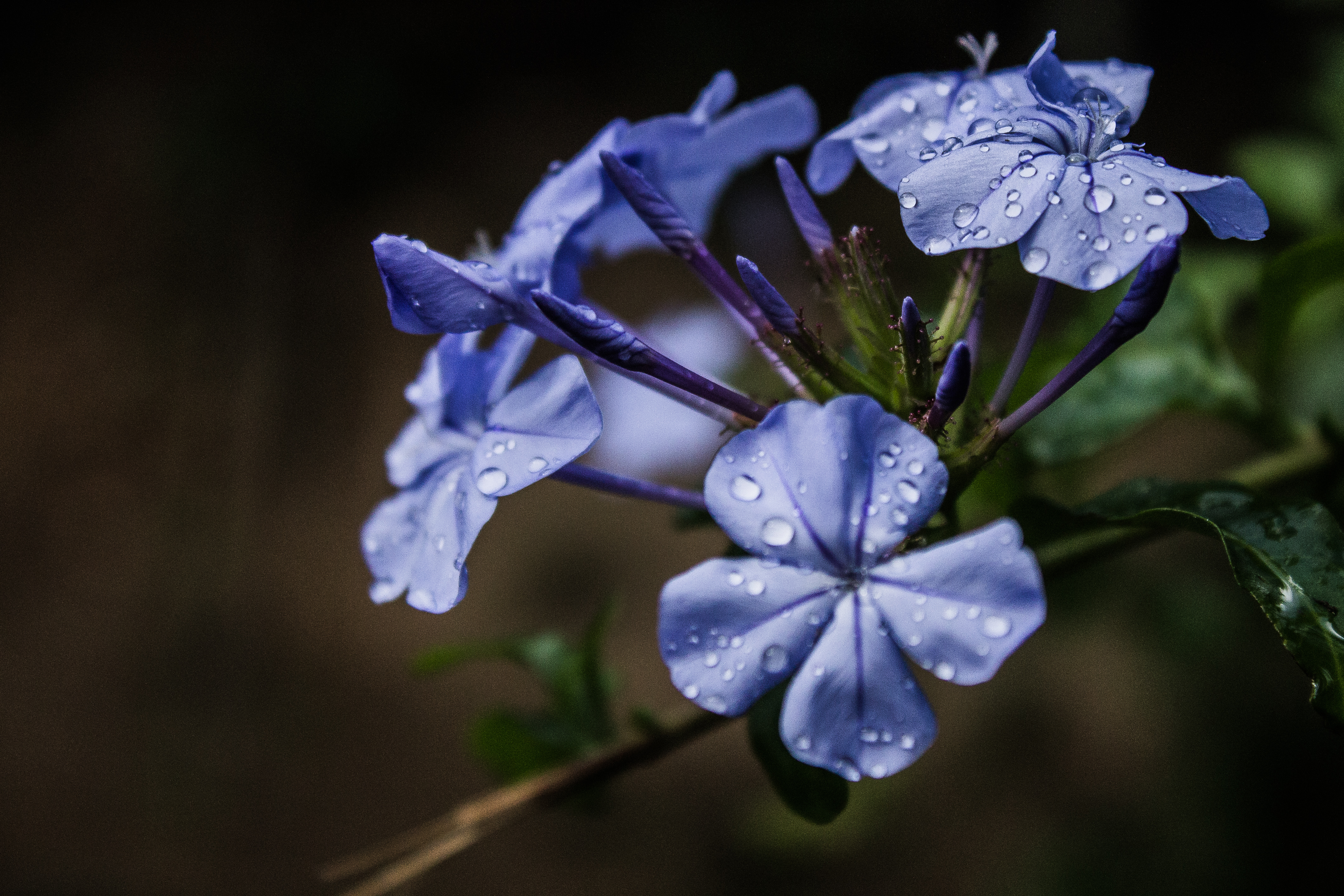
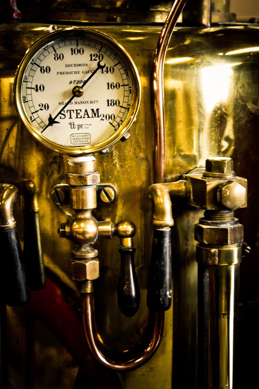
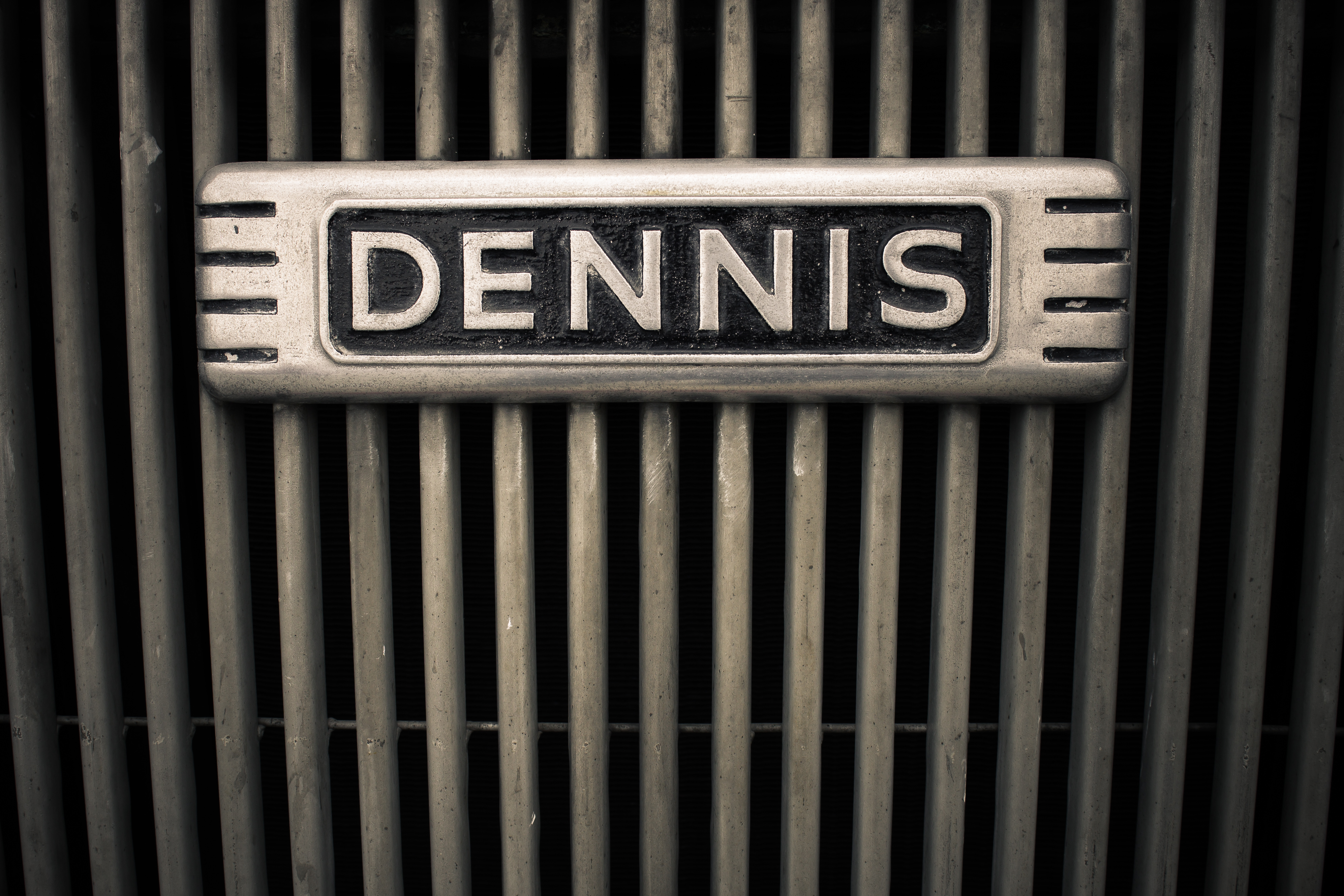
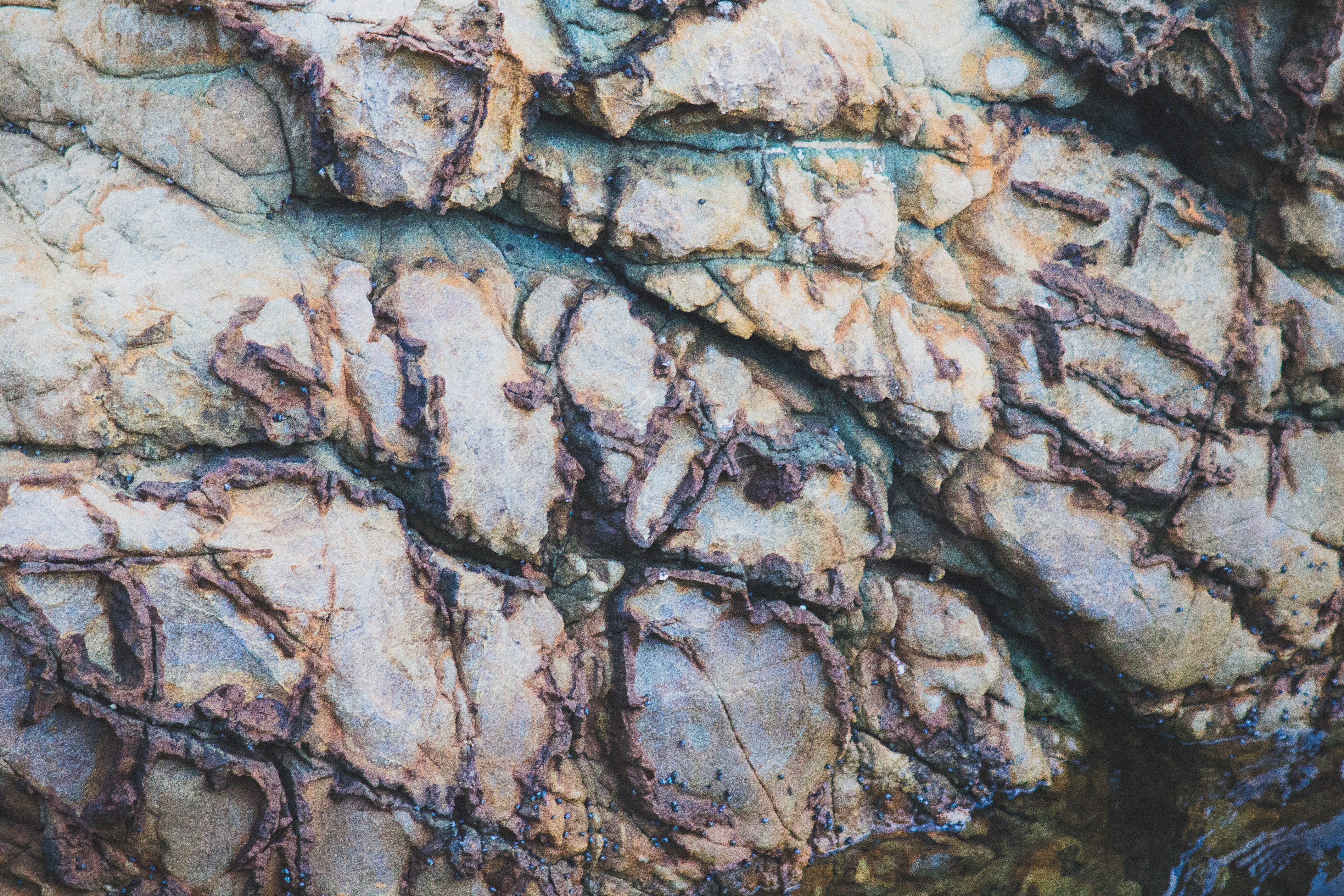
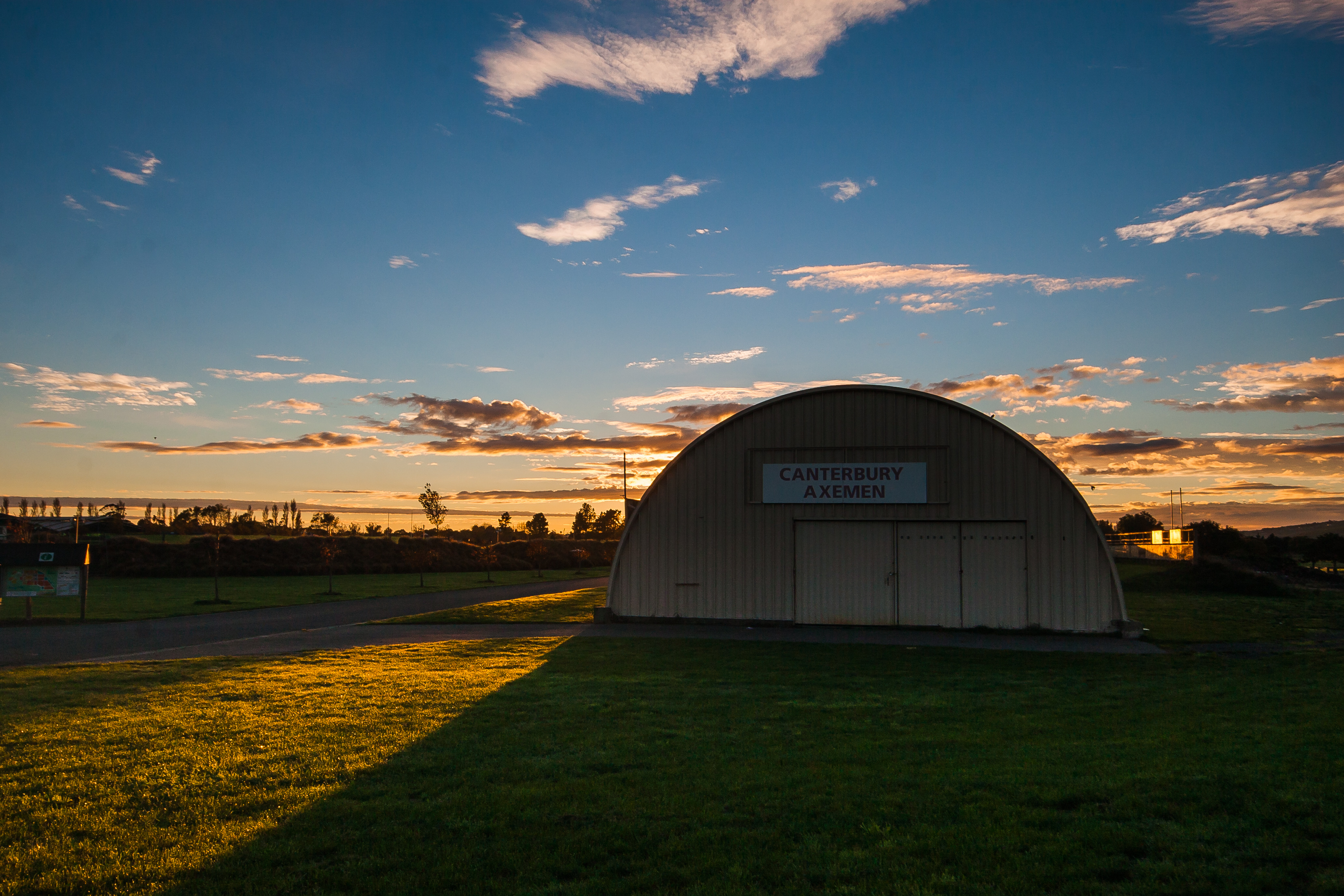
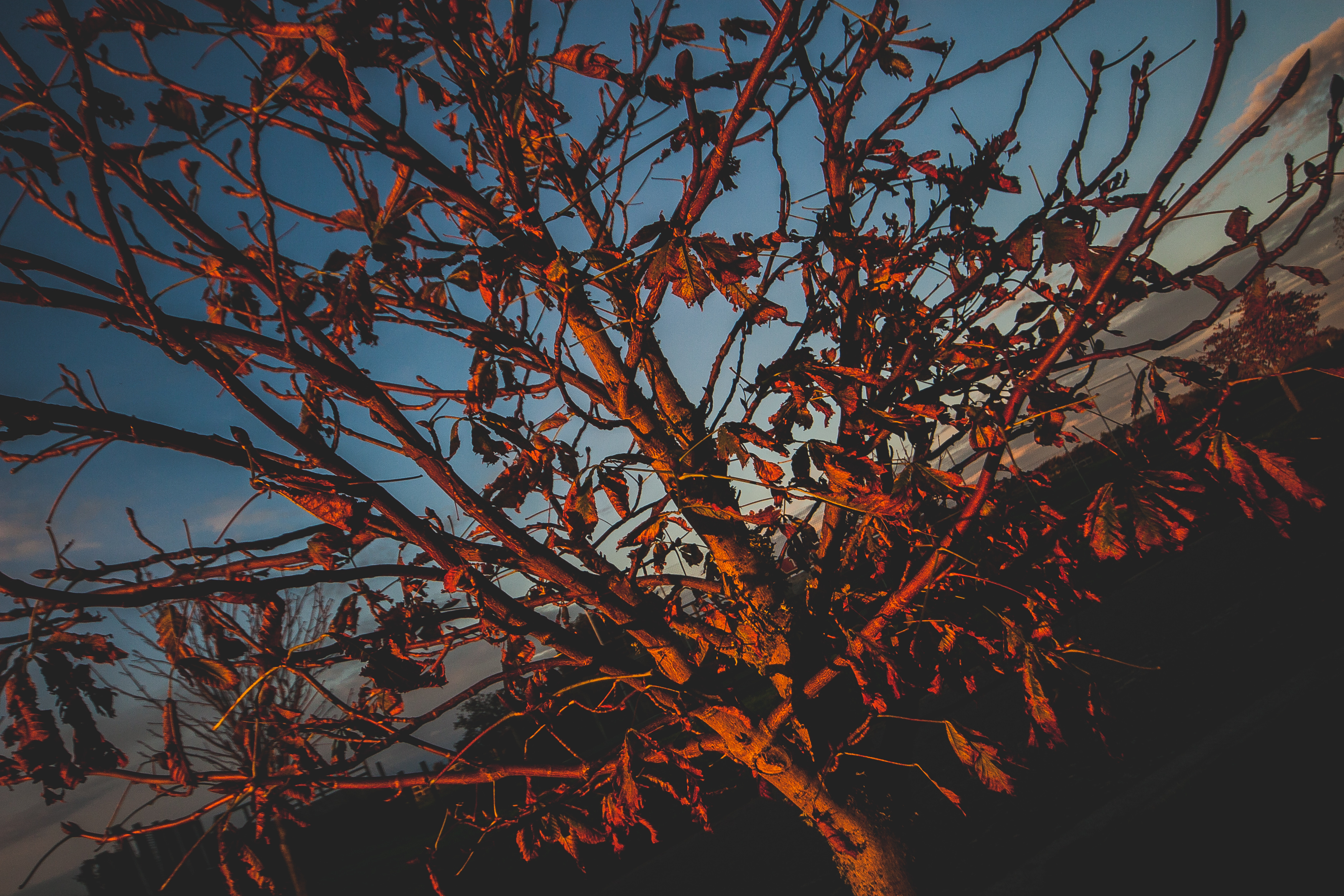
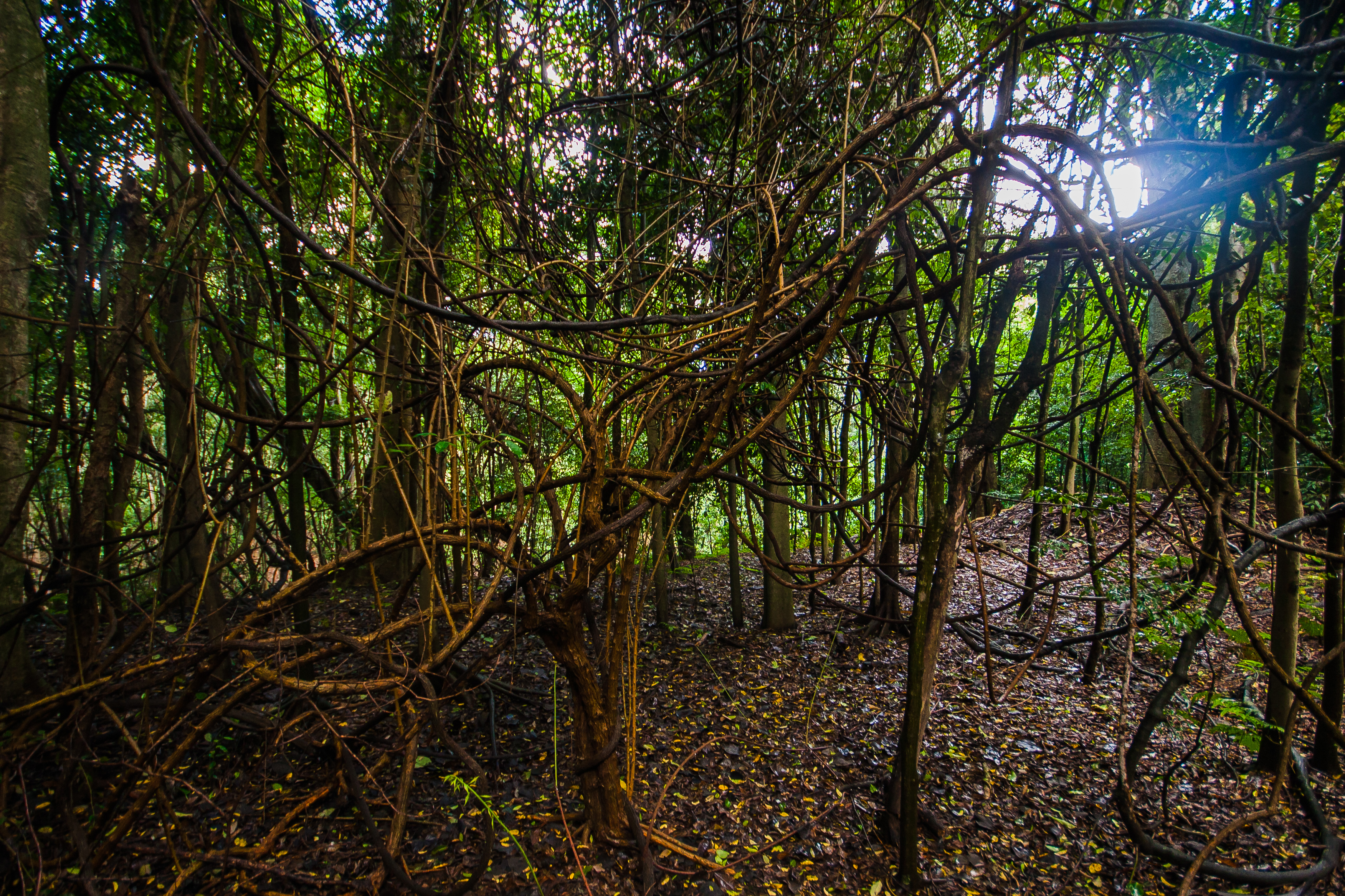
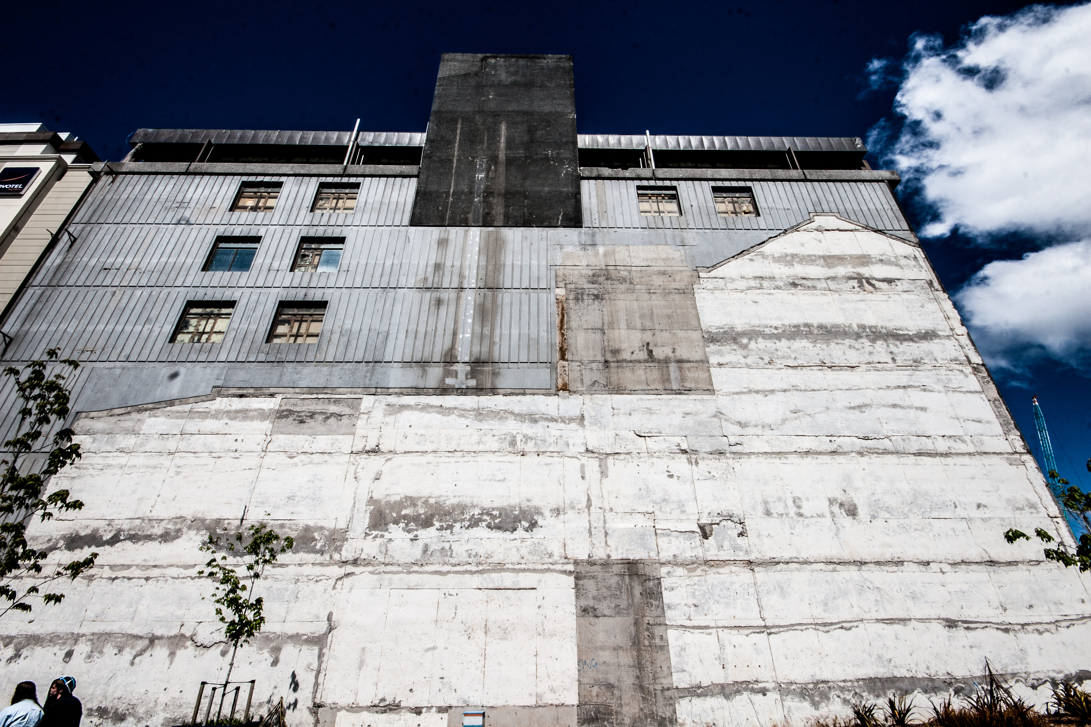
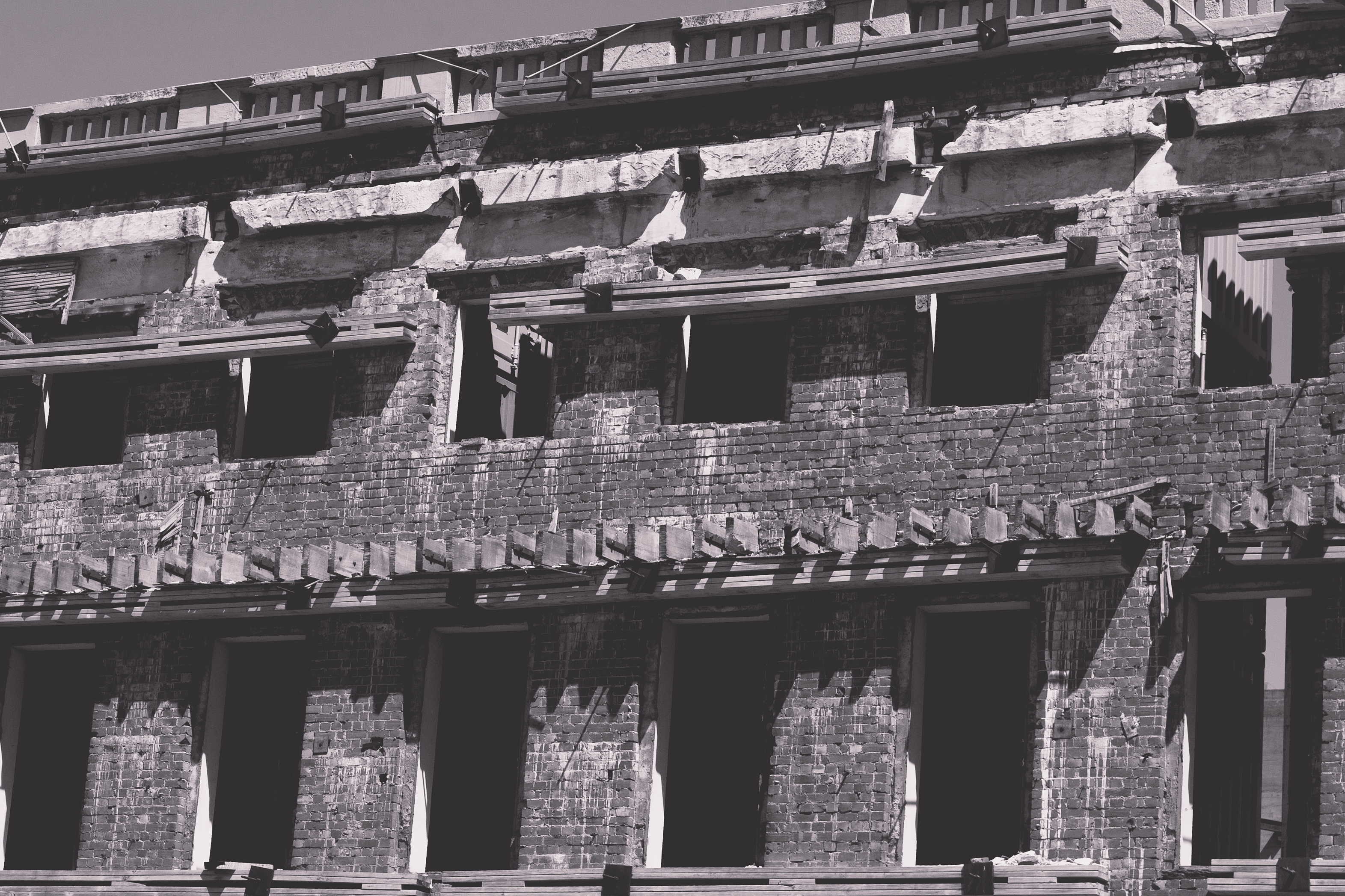
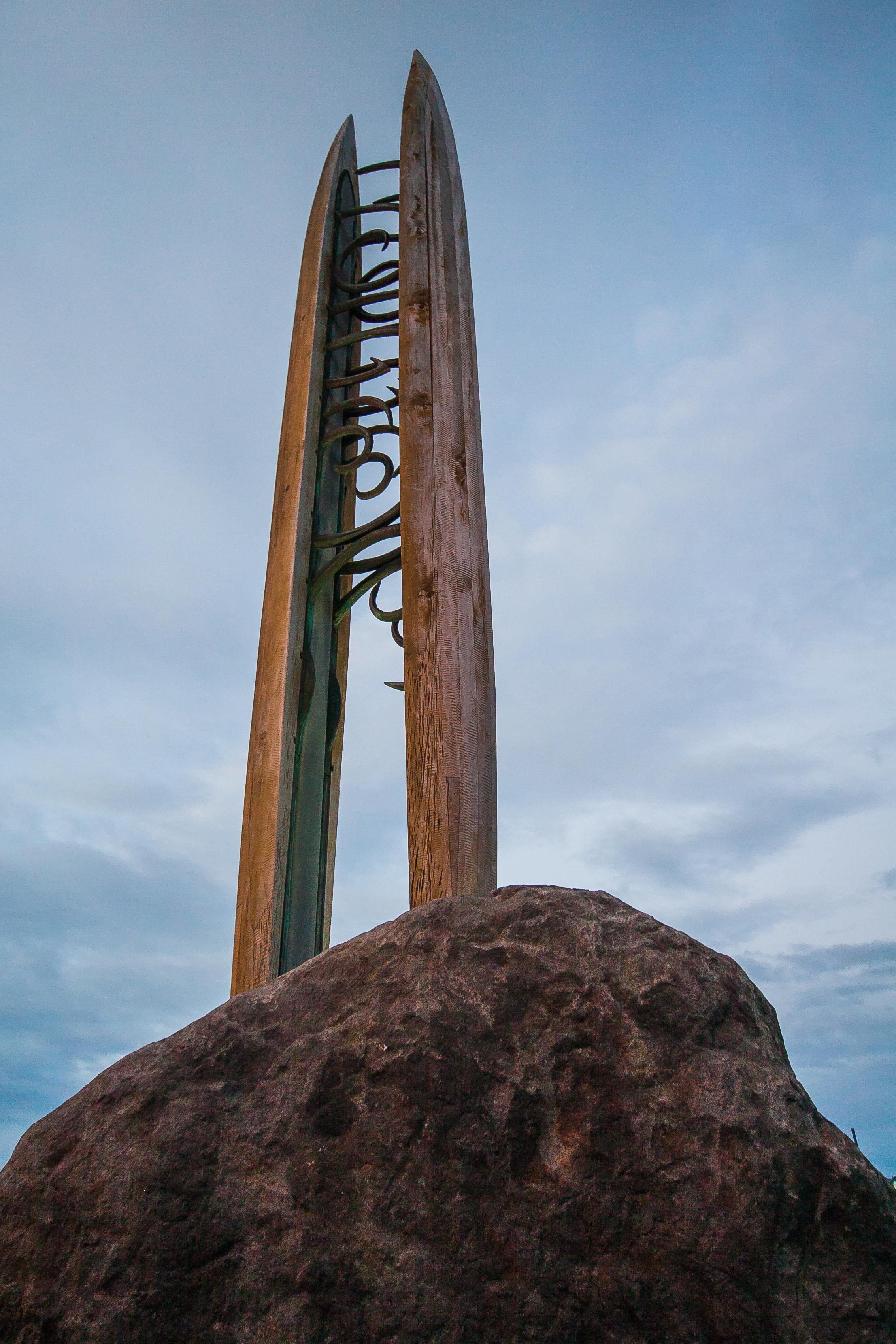
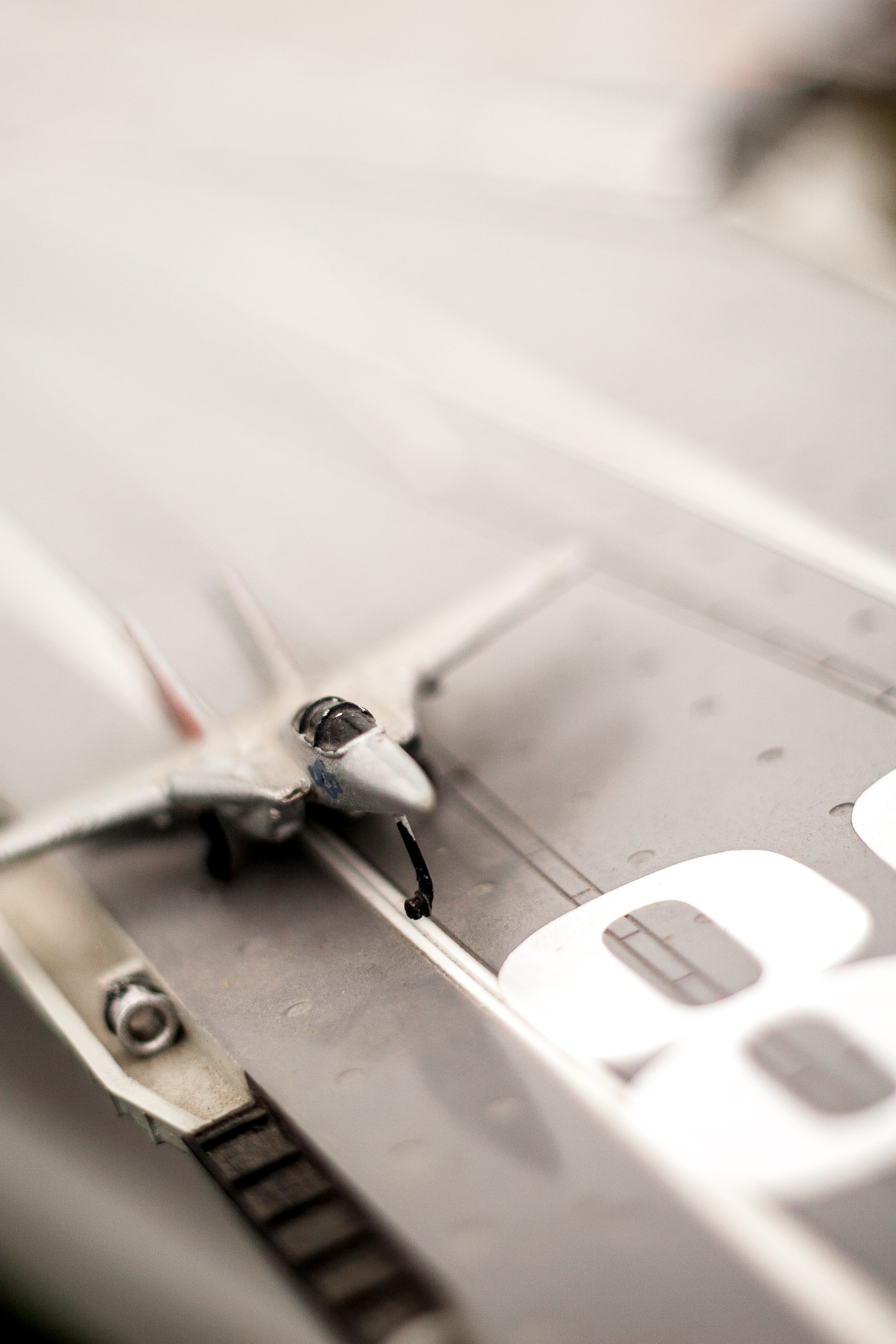
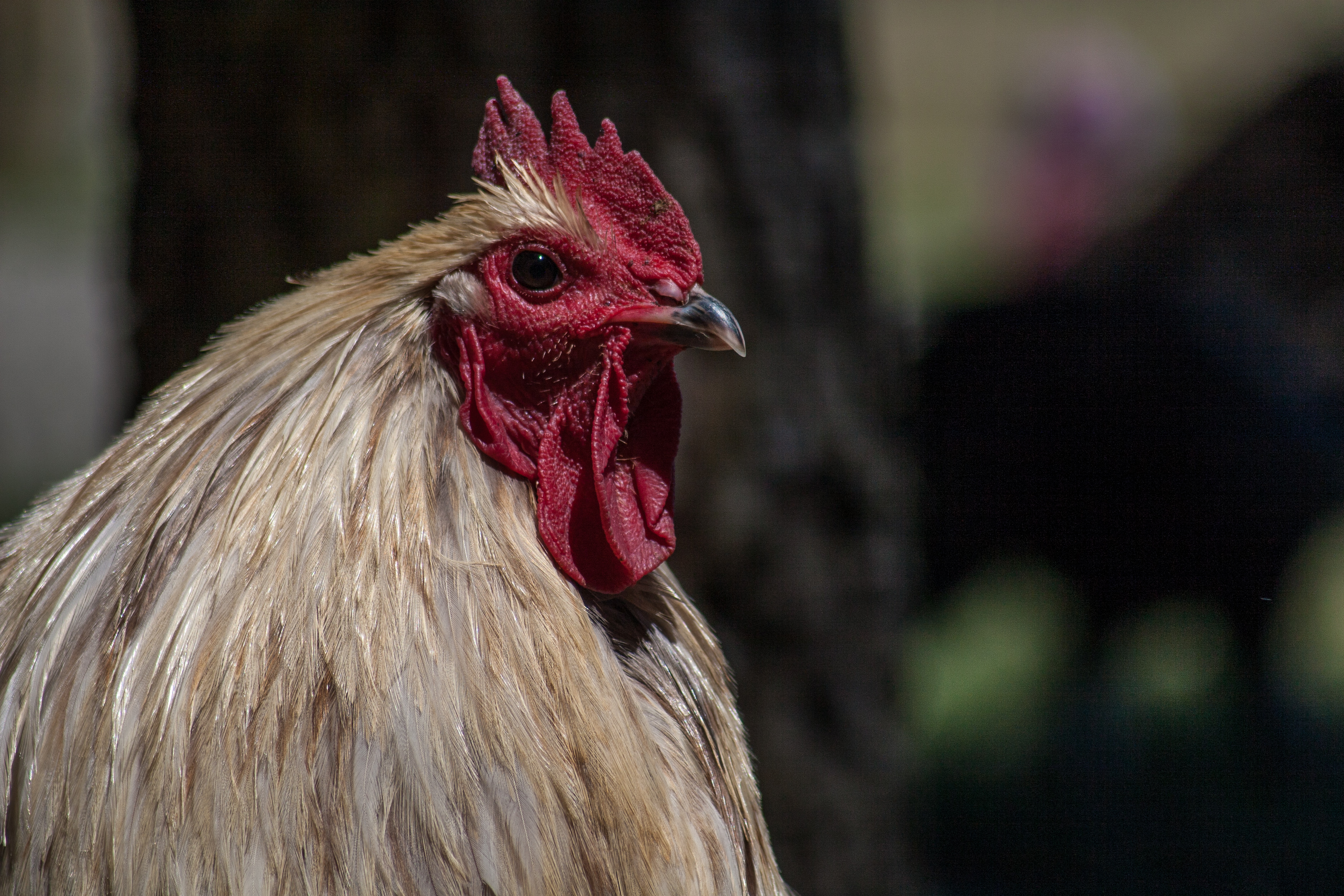
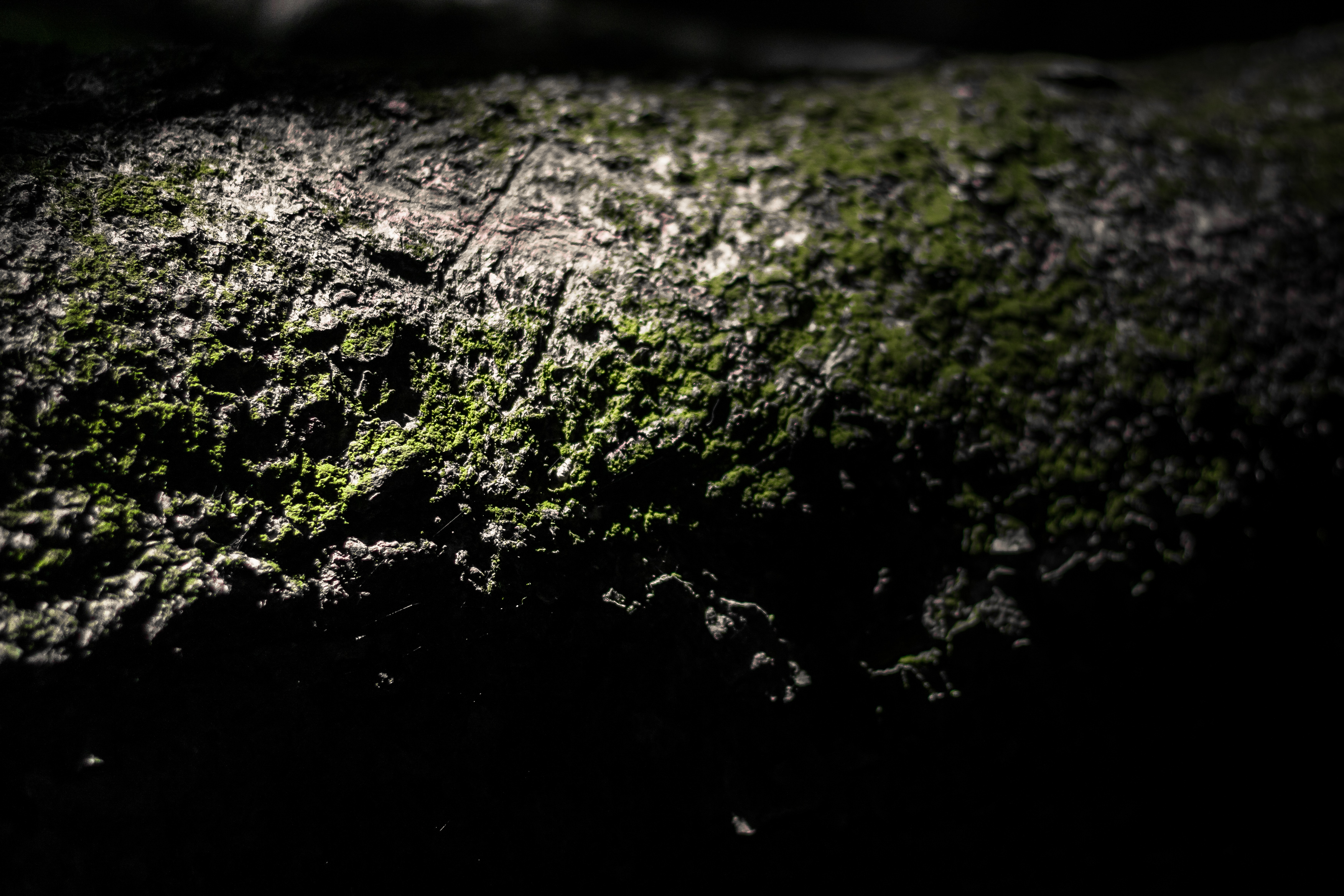
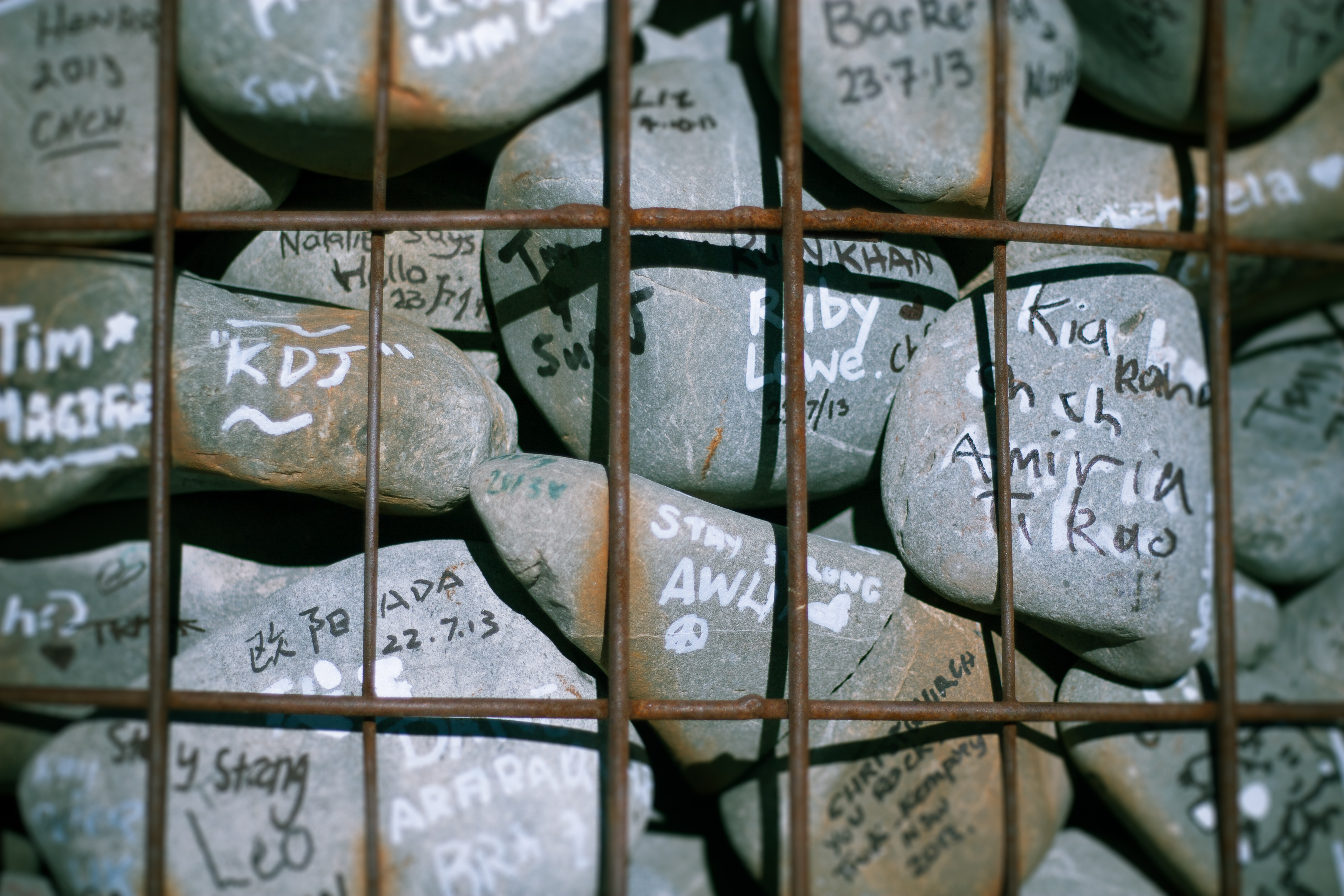
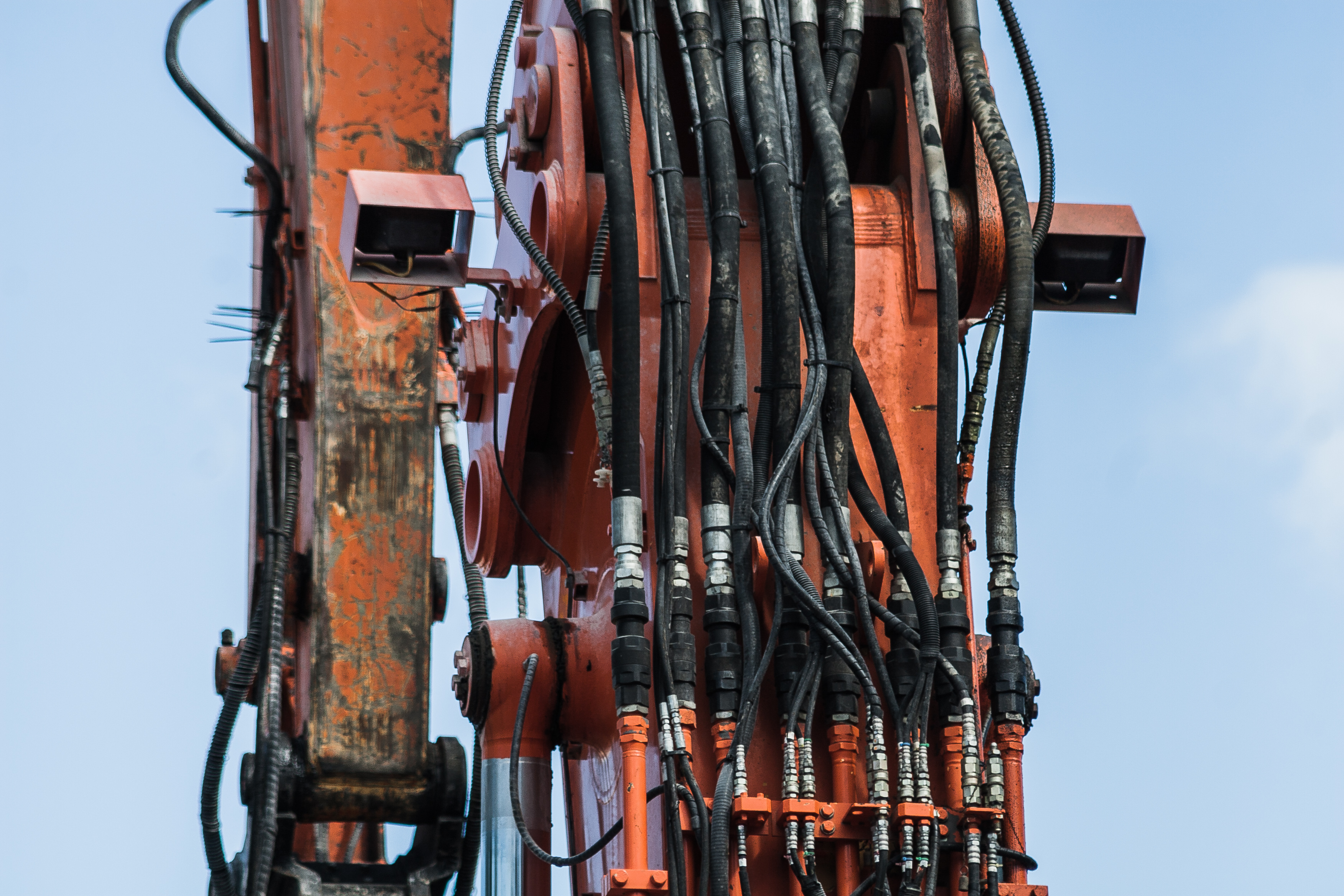
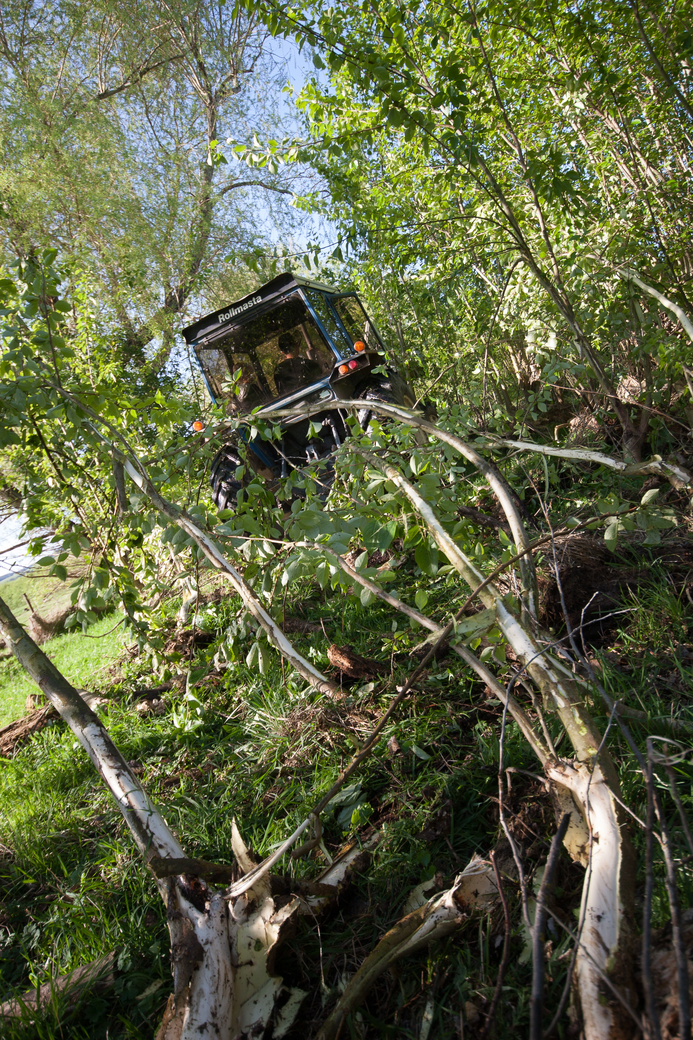
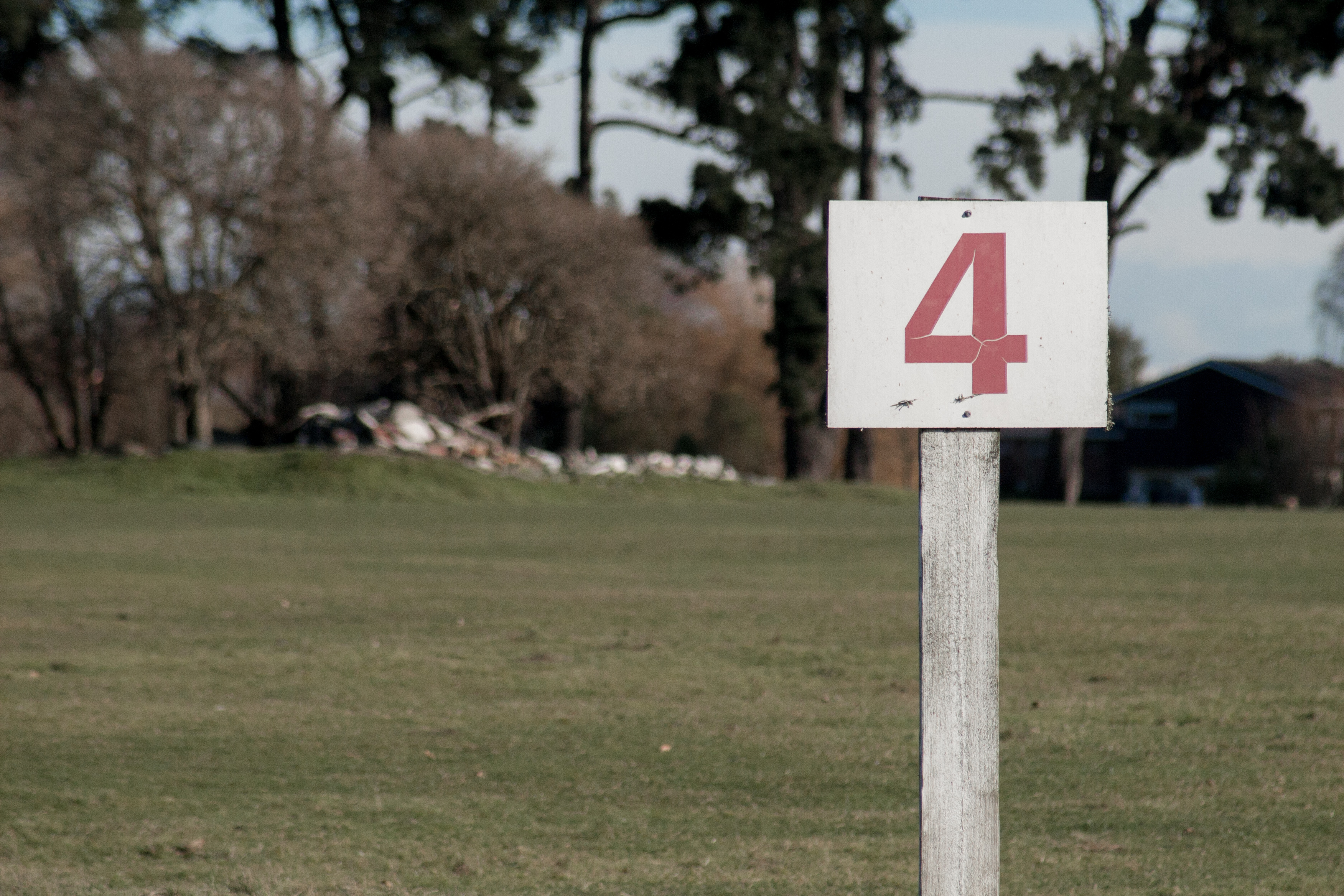
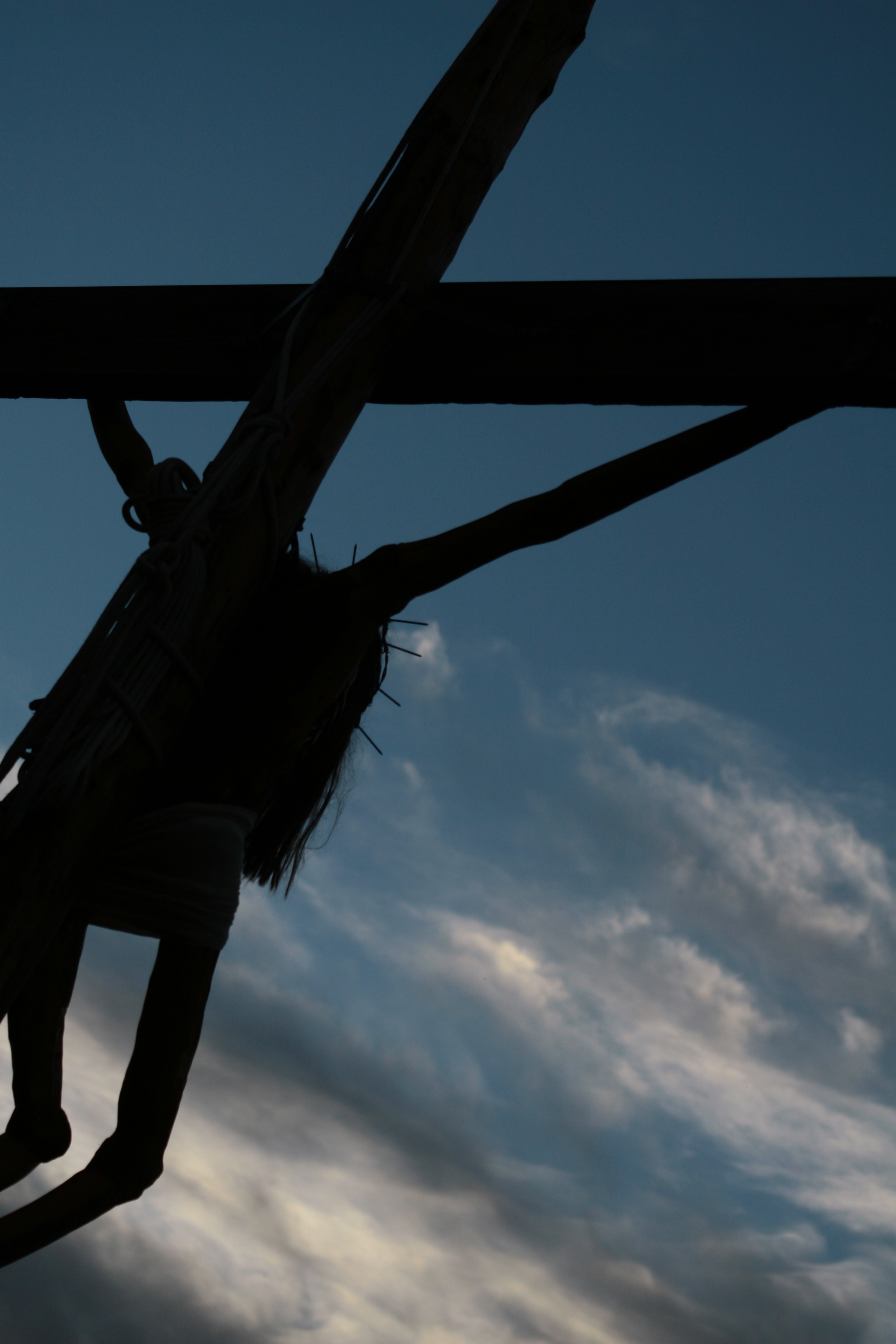
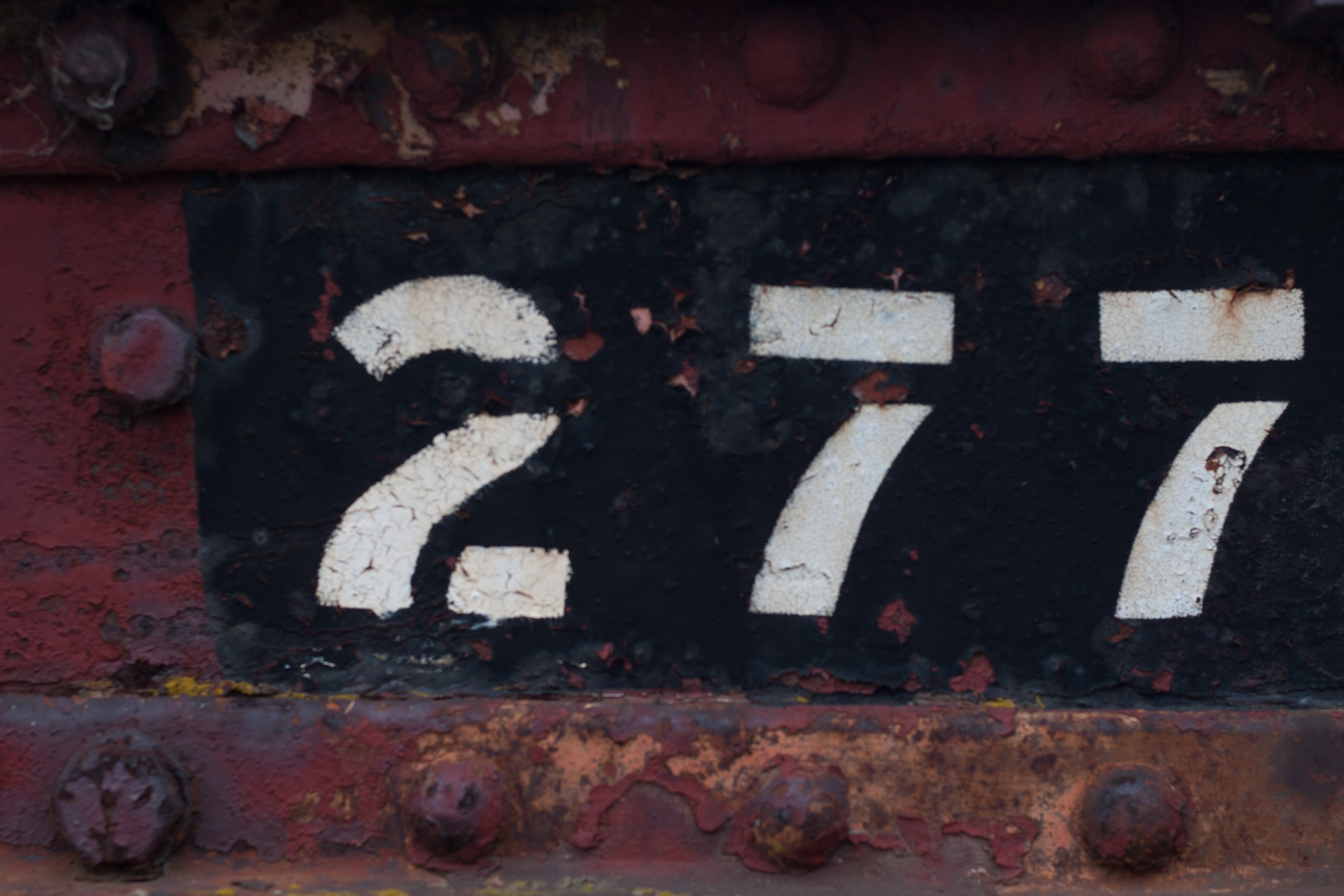
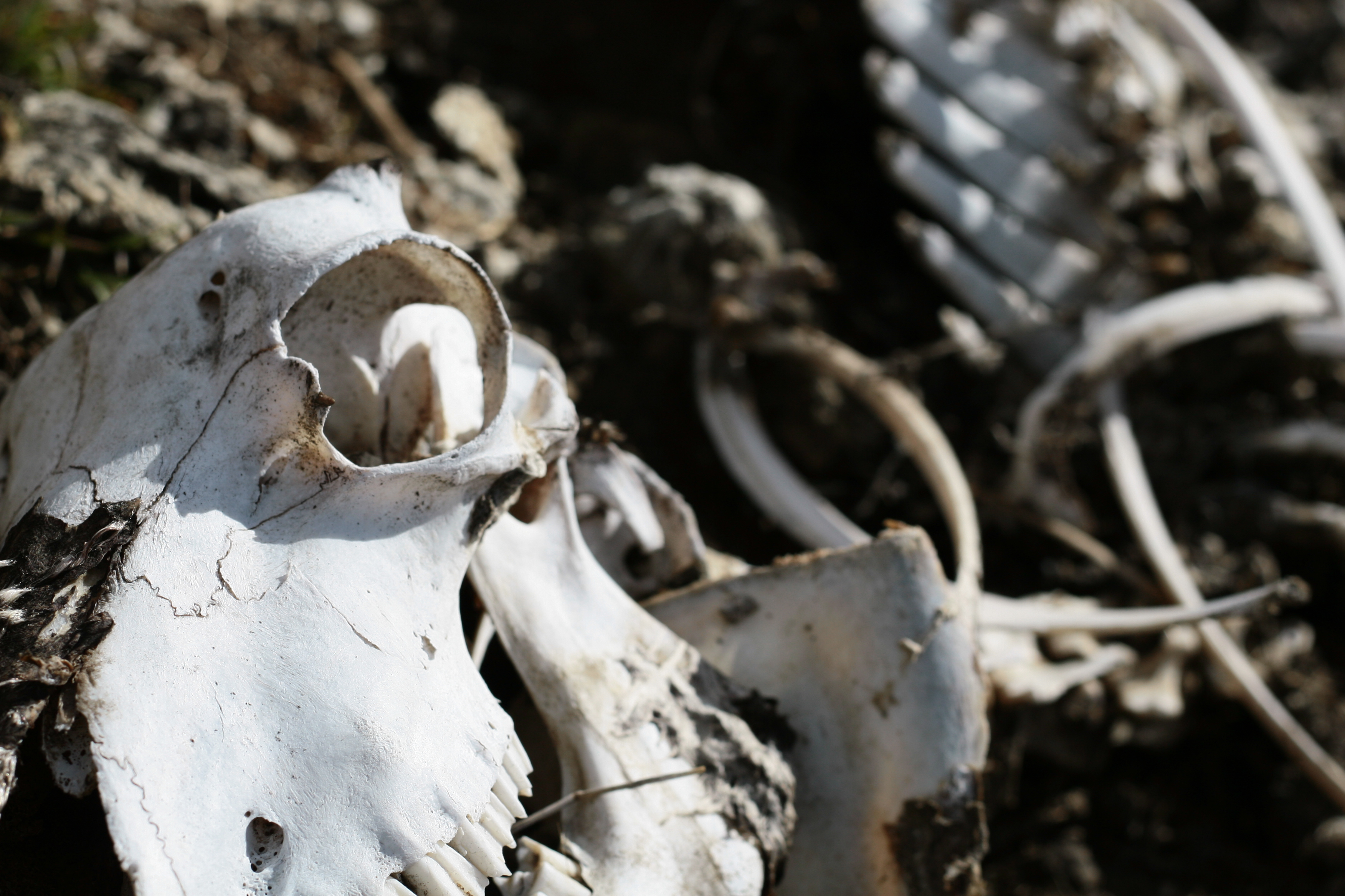
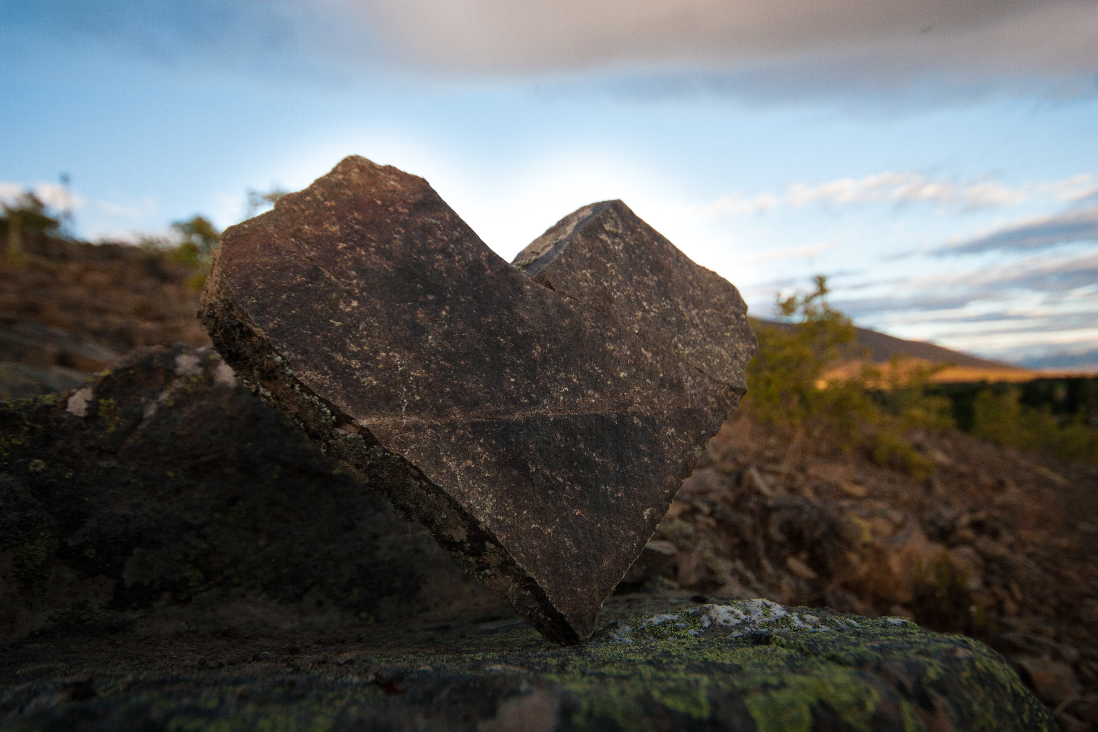
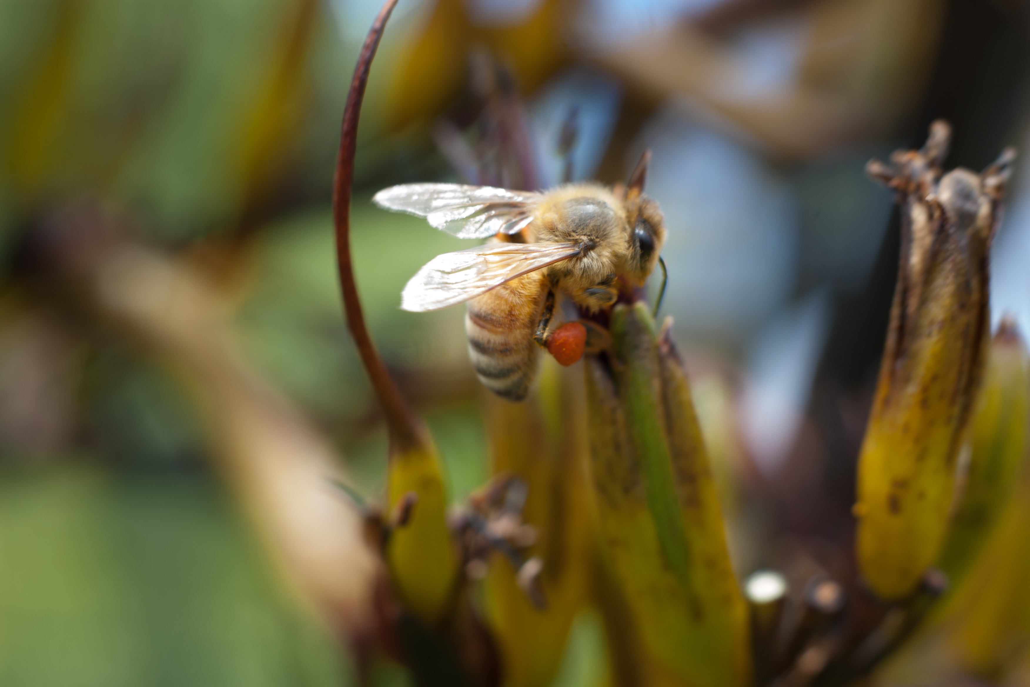
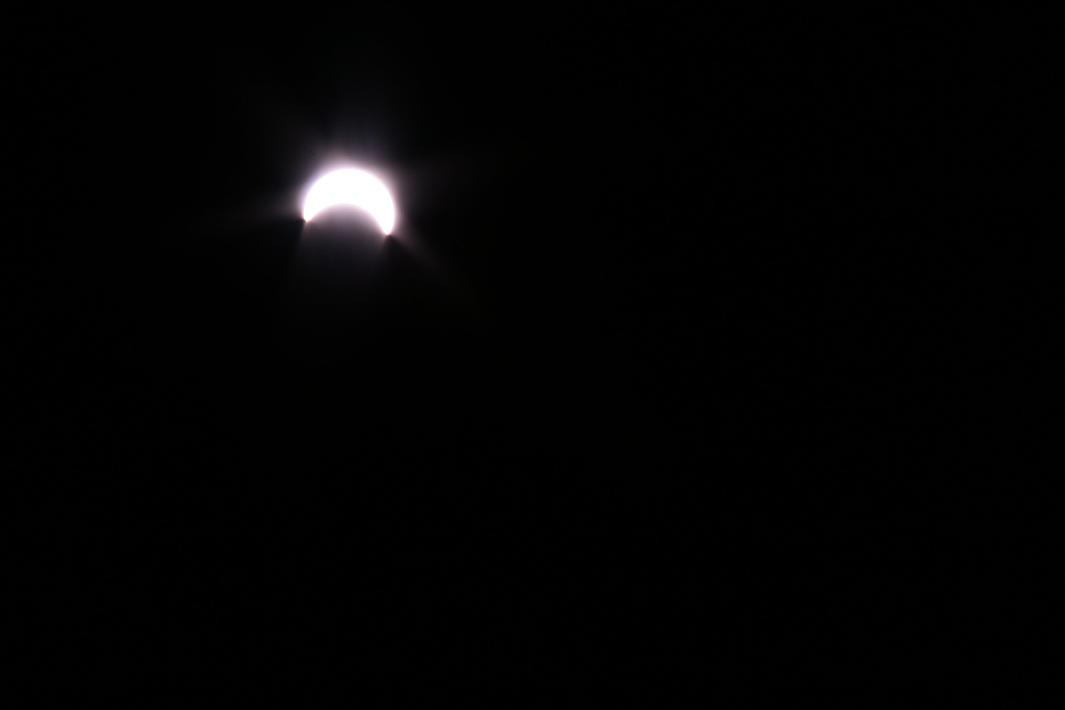
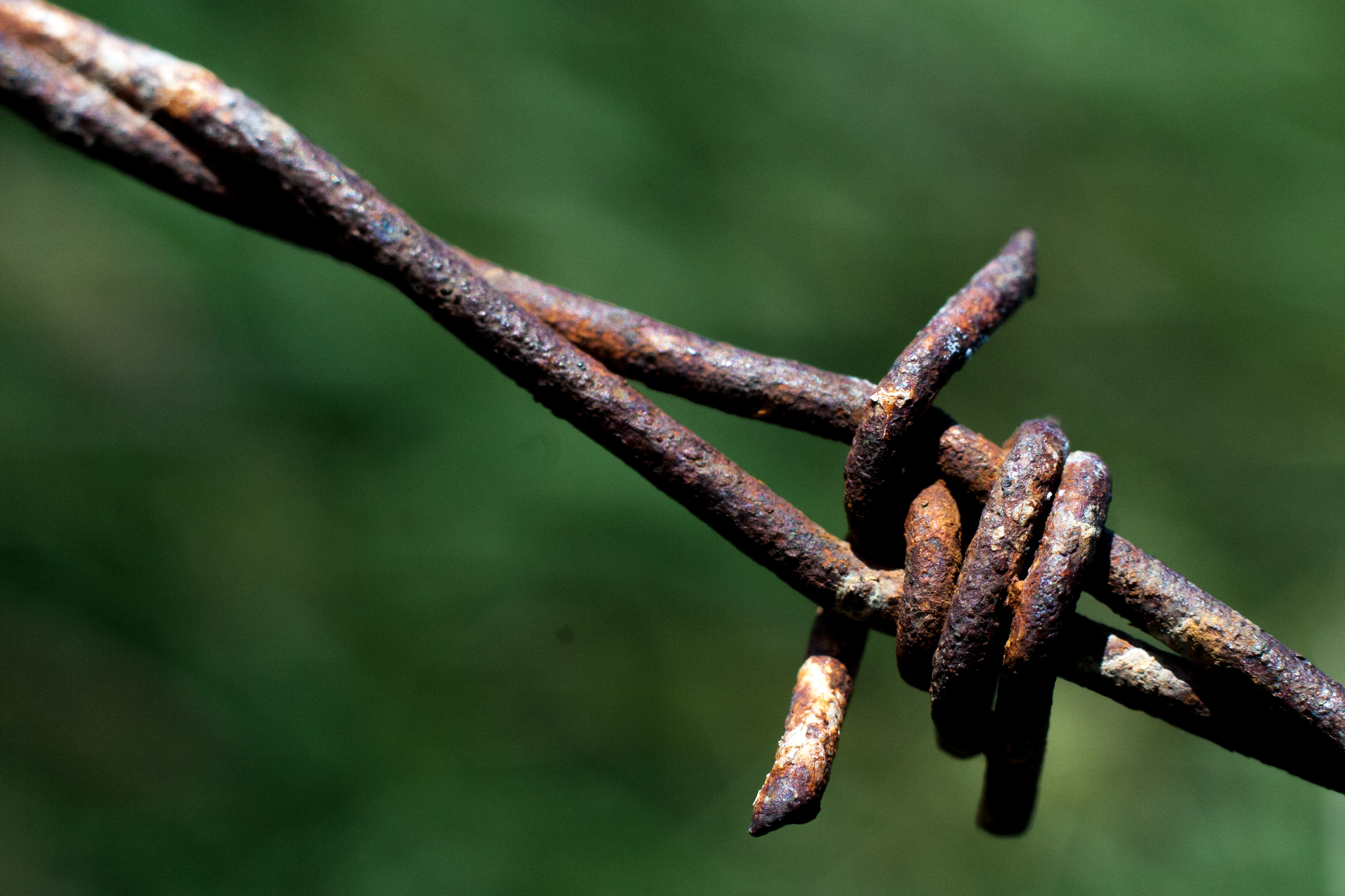
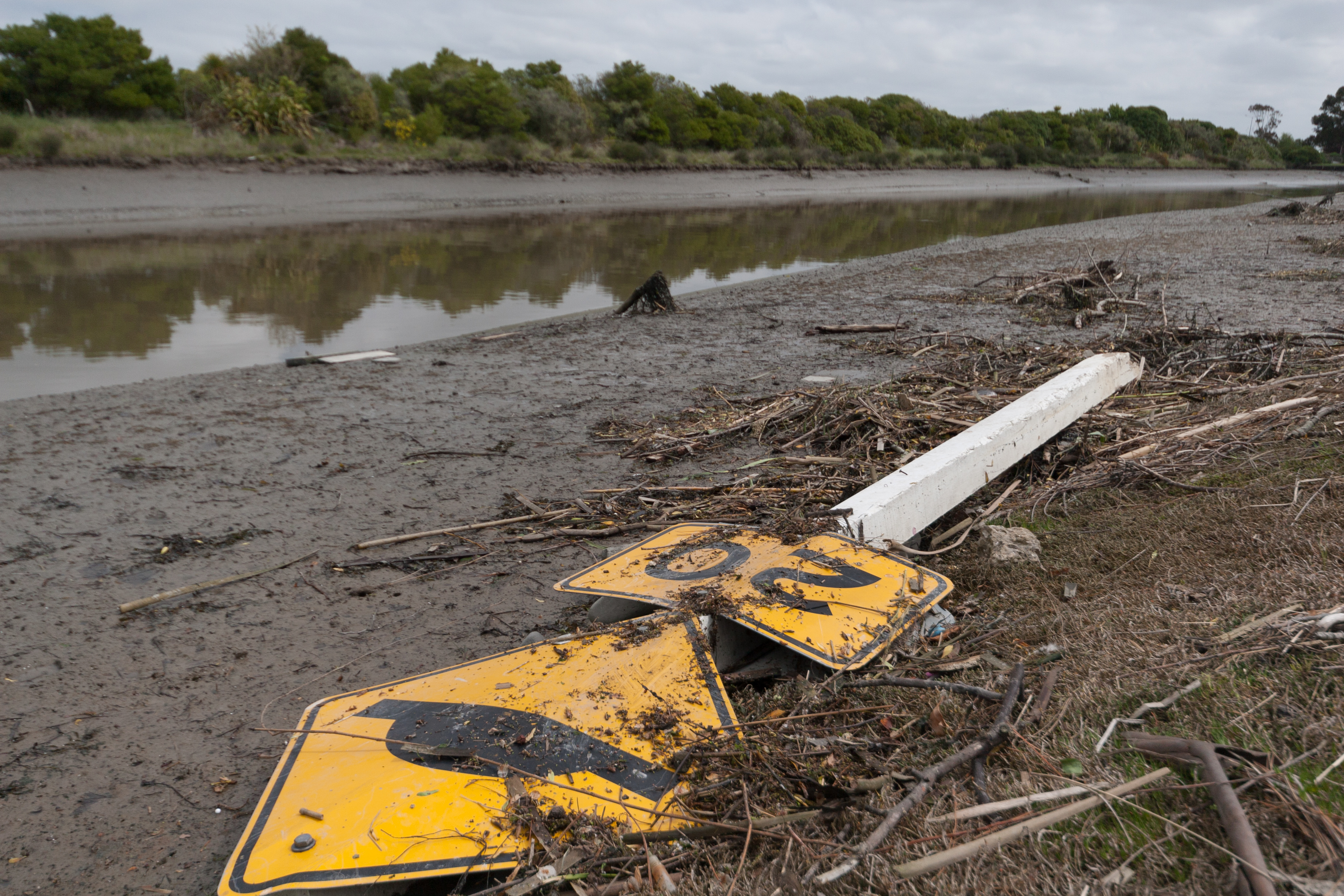
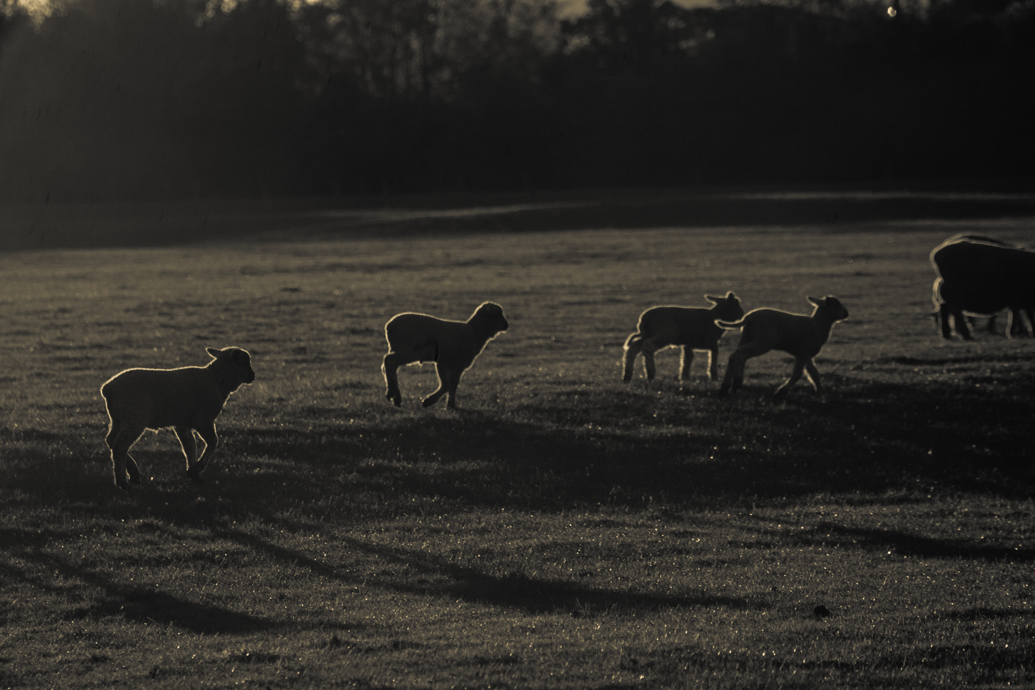
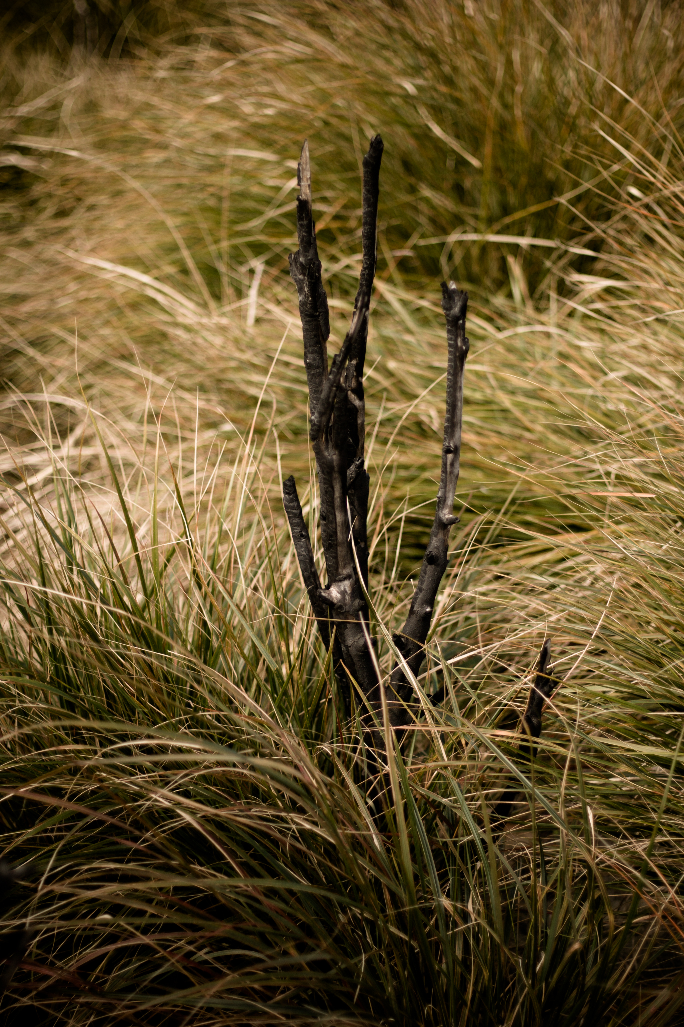
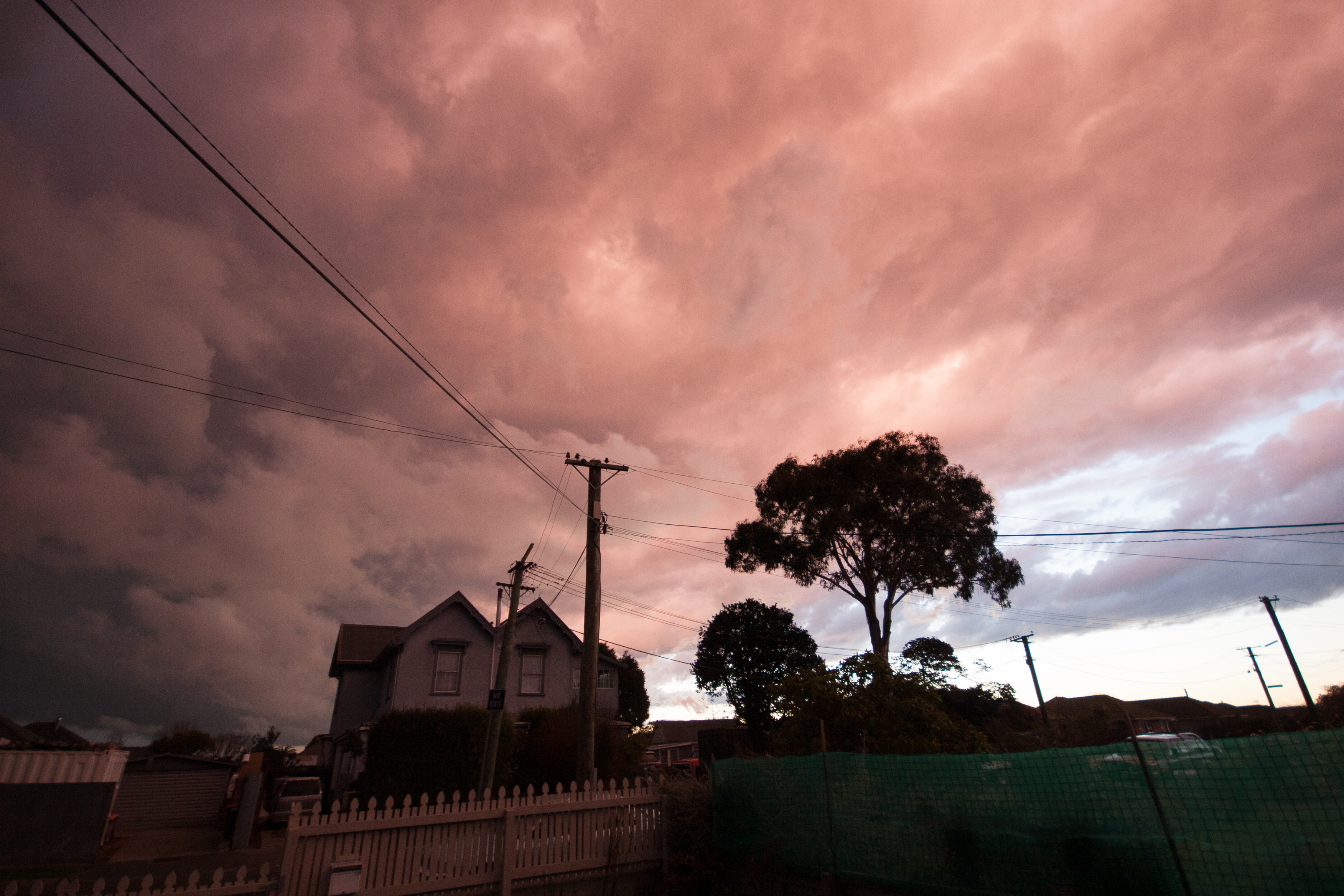
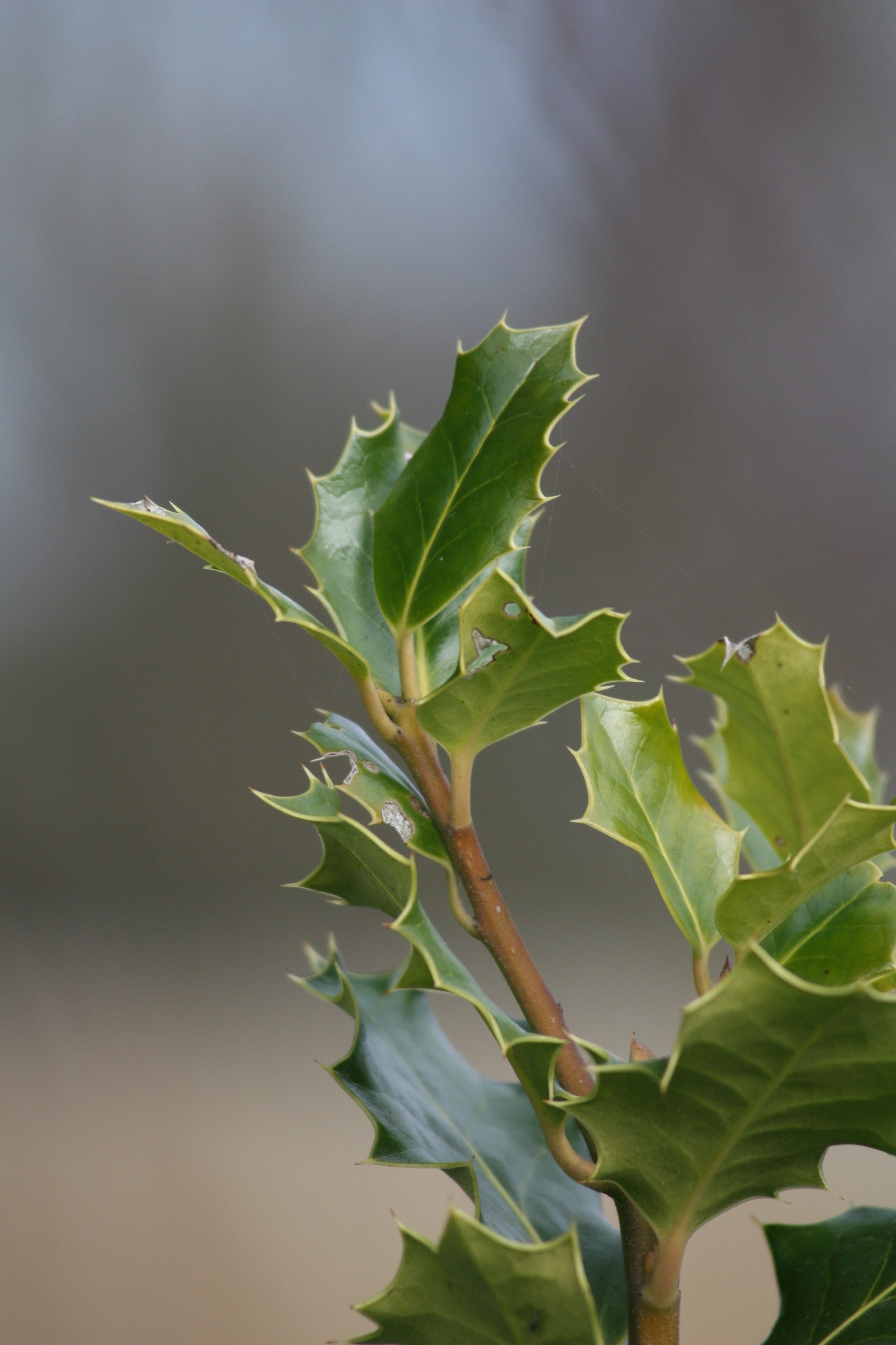
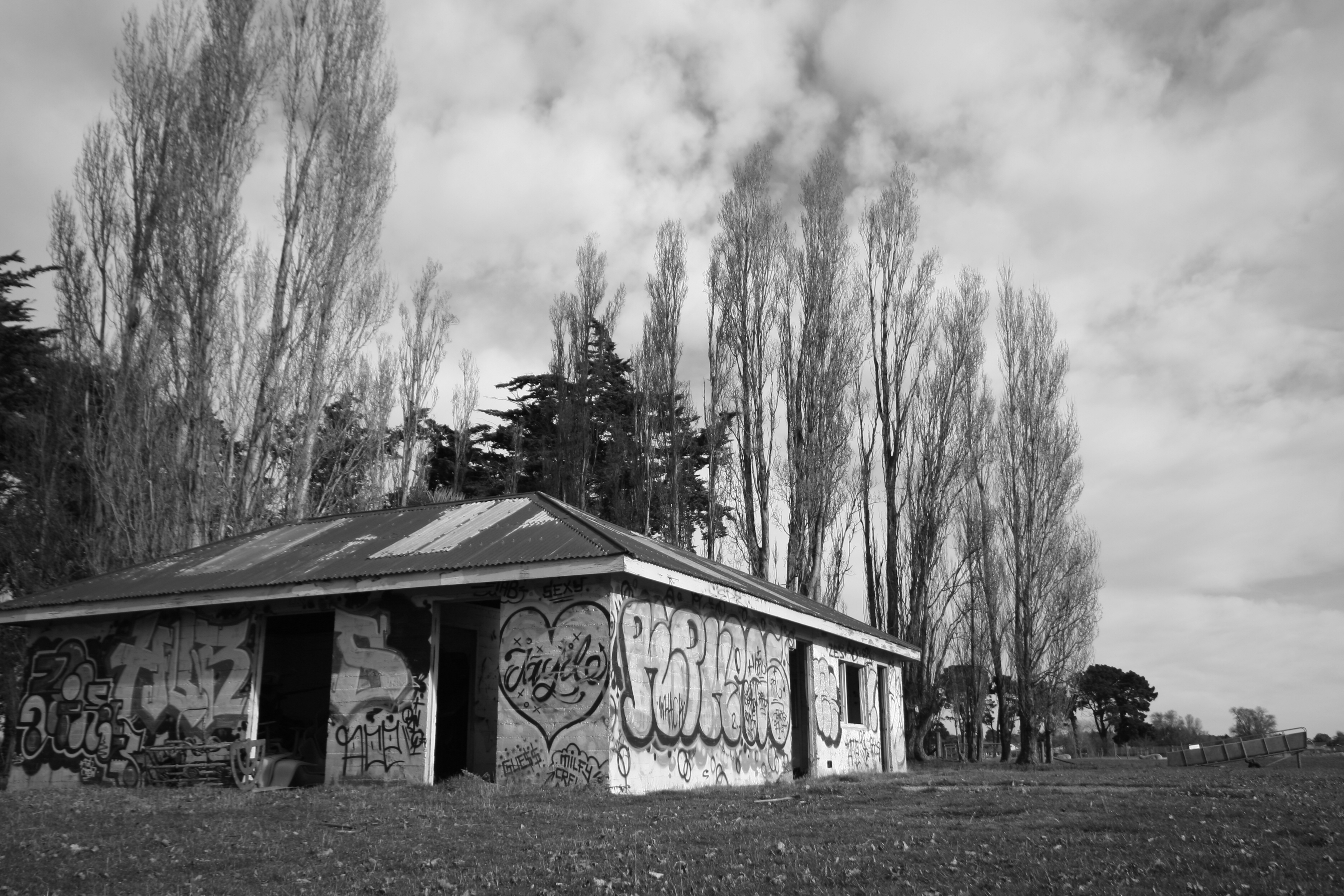
should have seen it coming
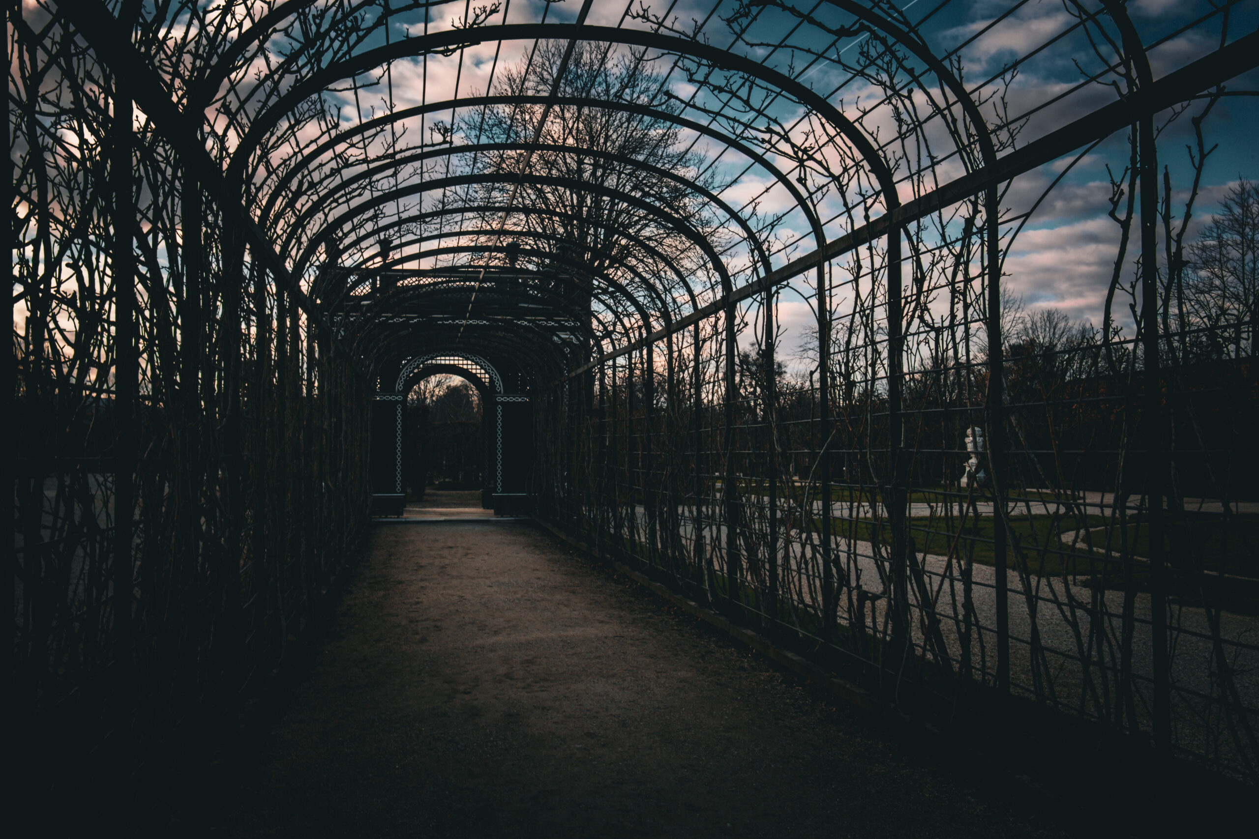
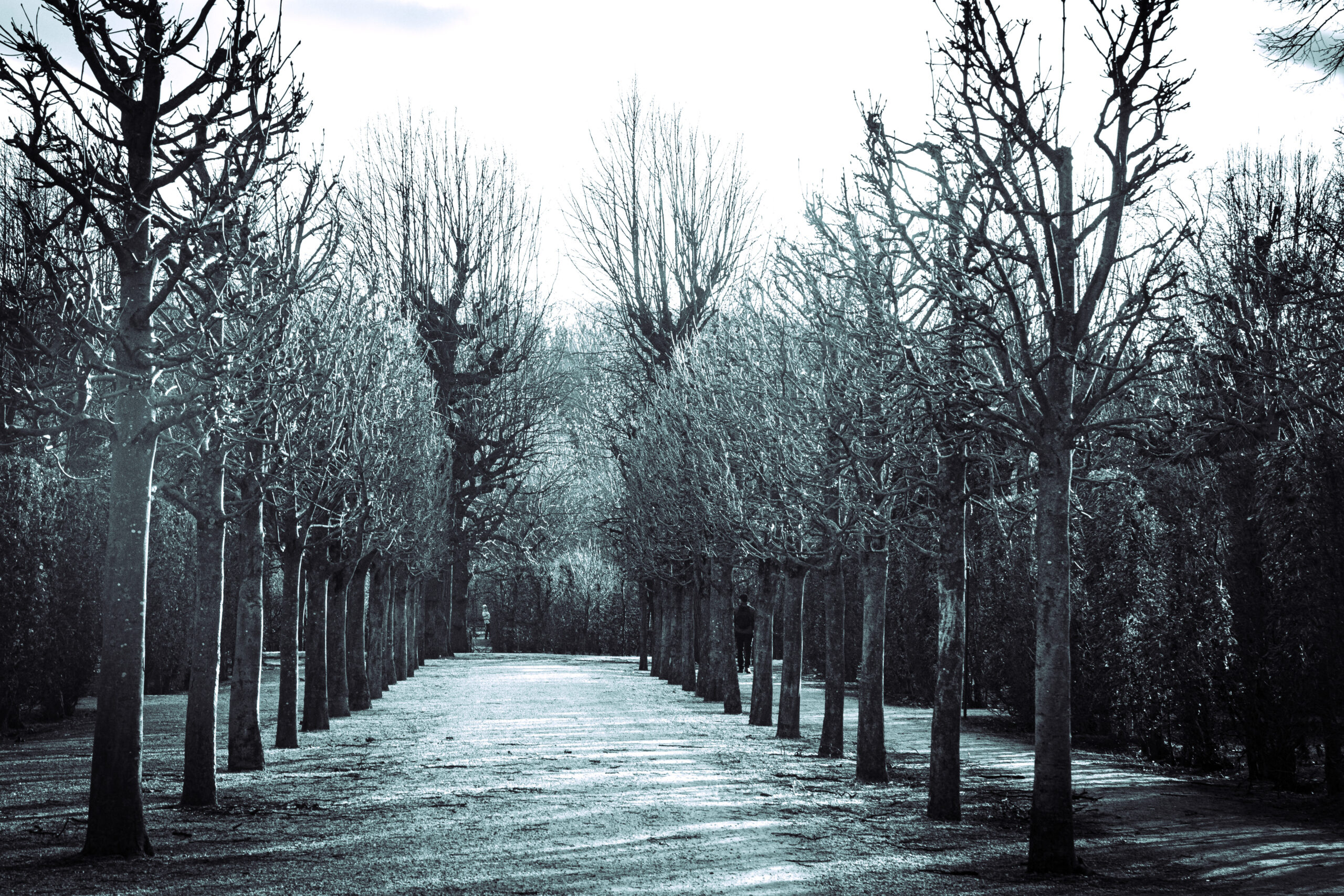
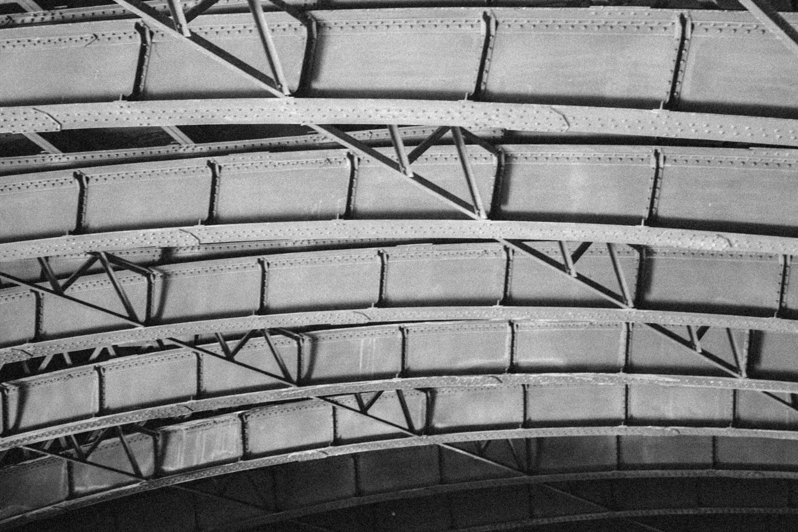
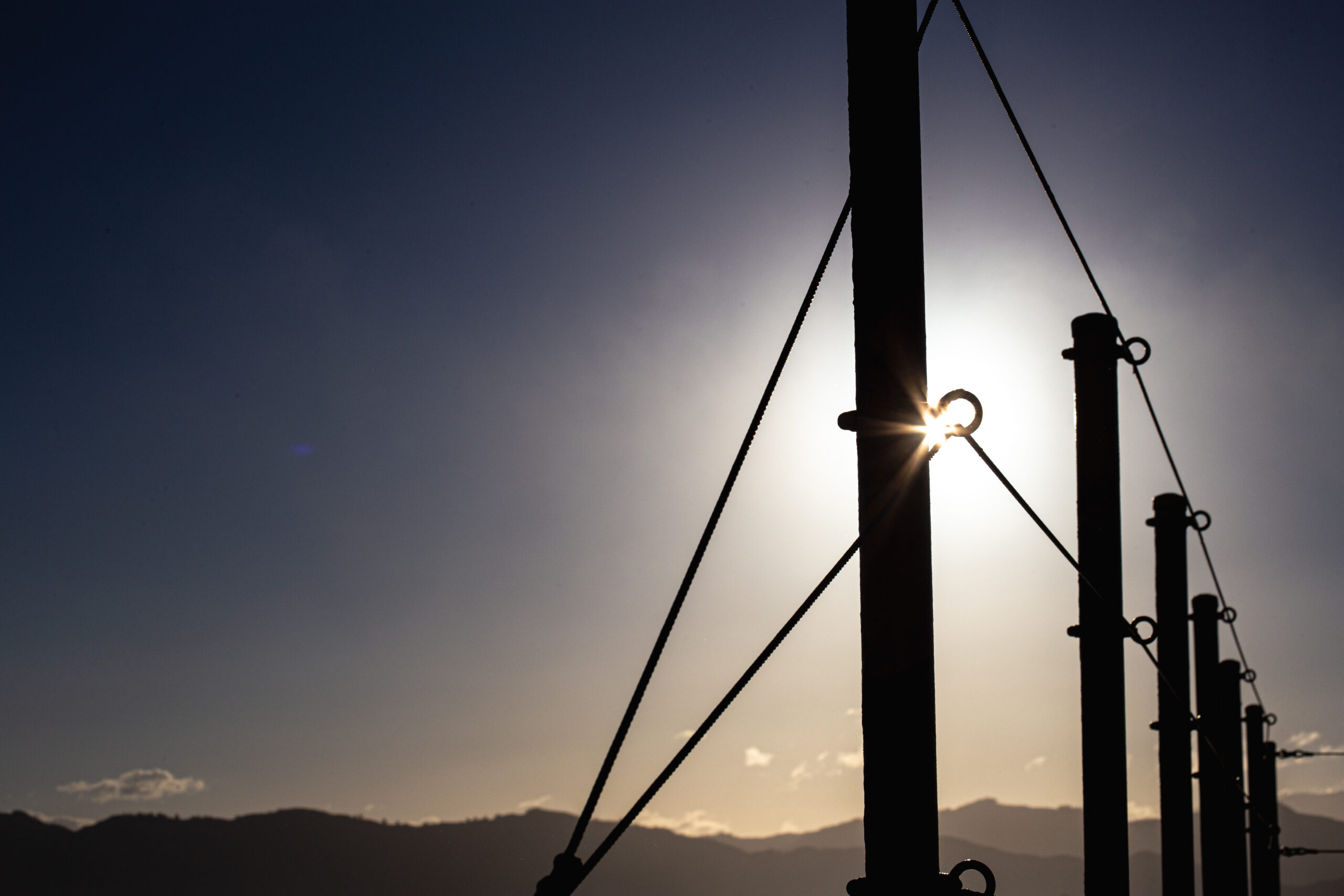
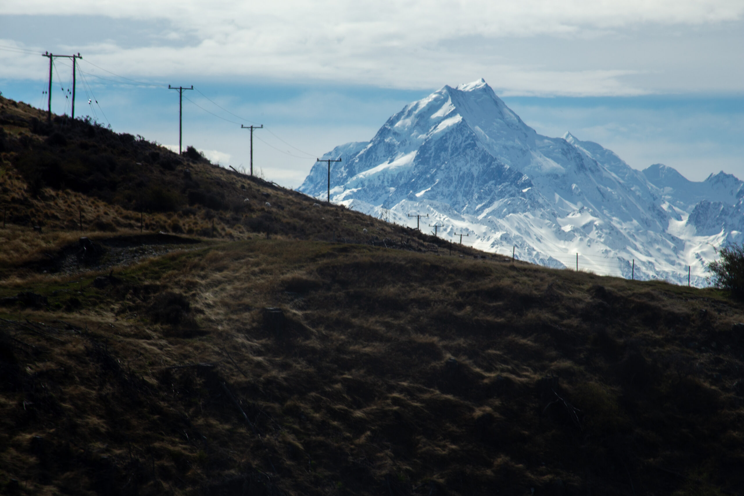
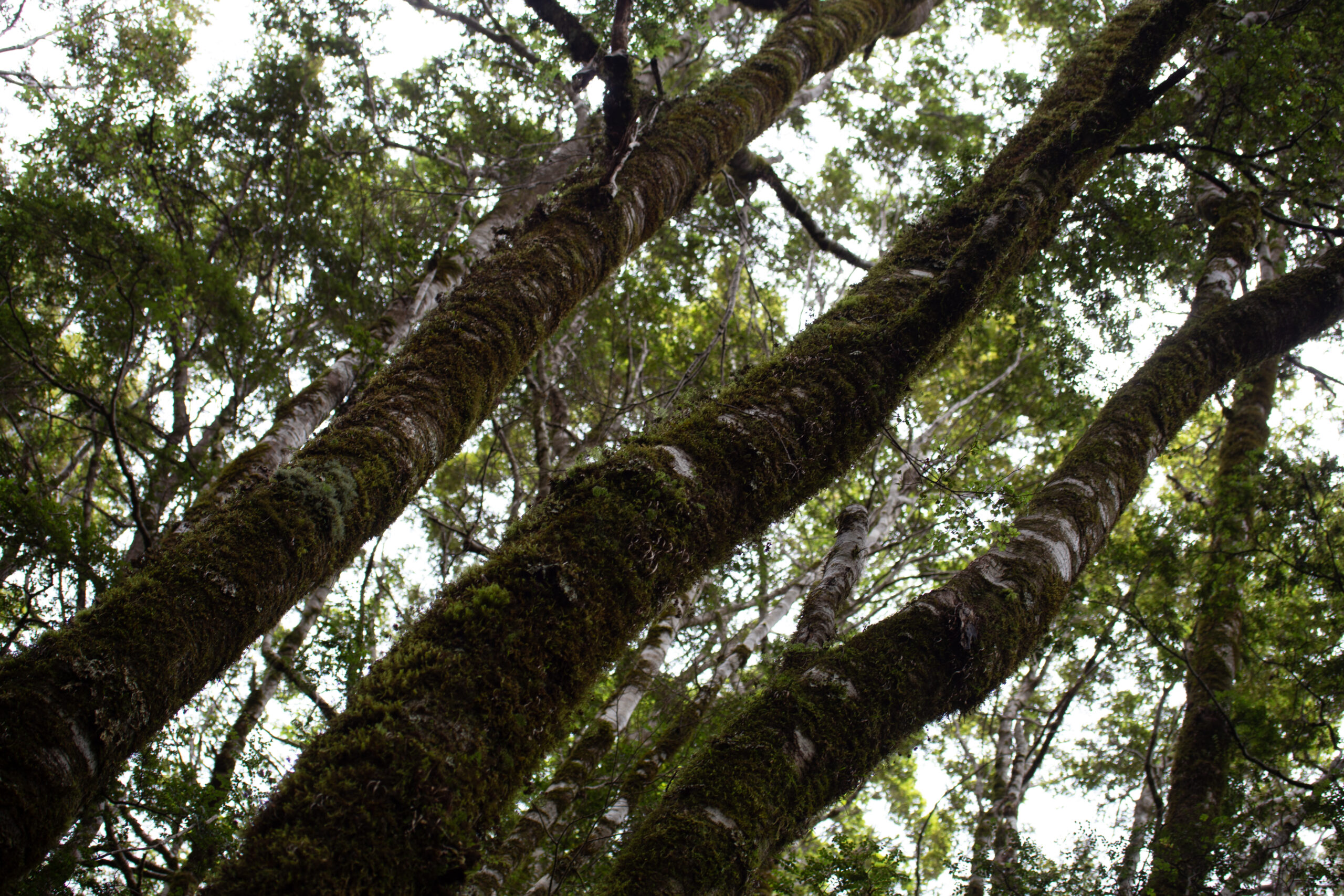
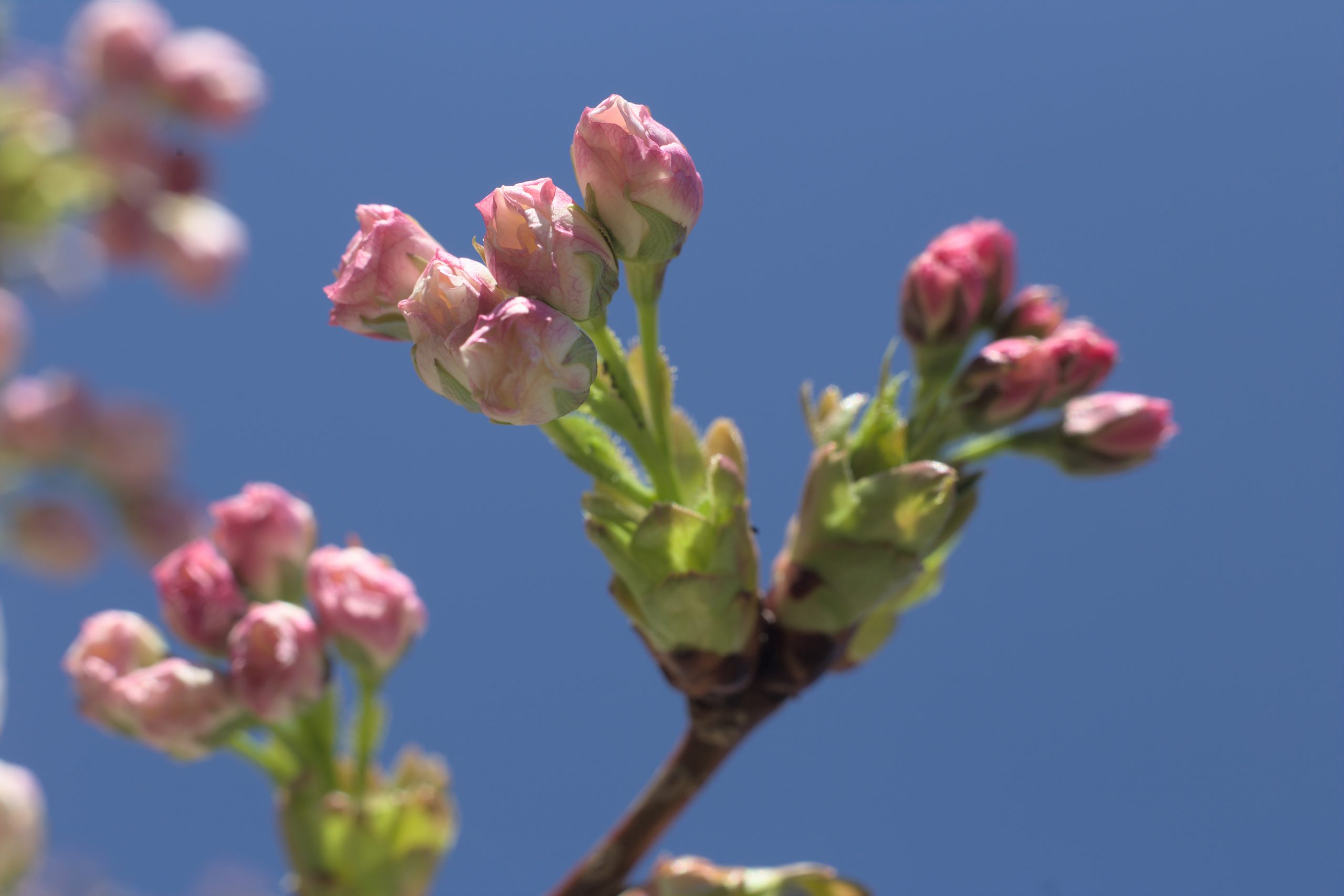
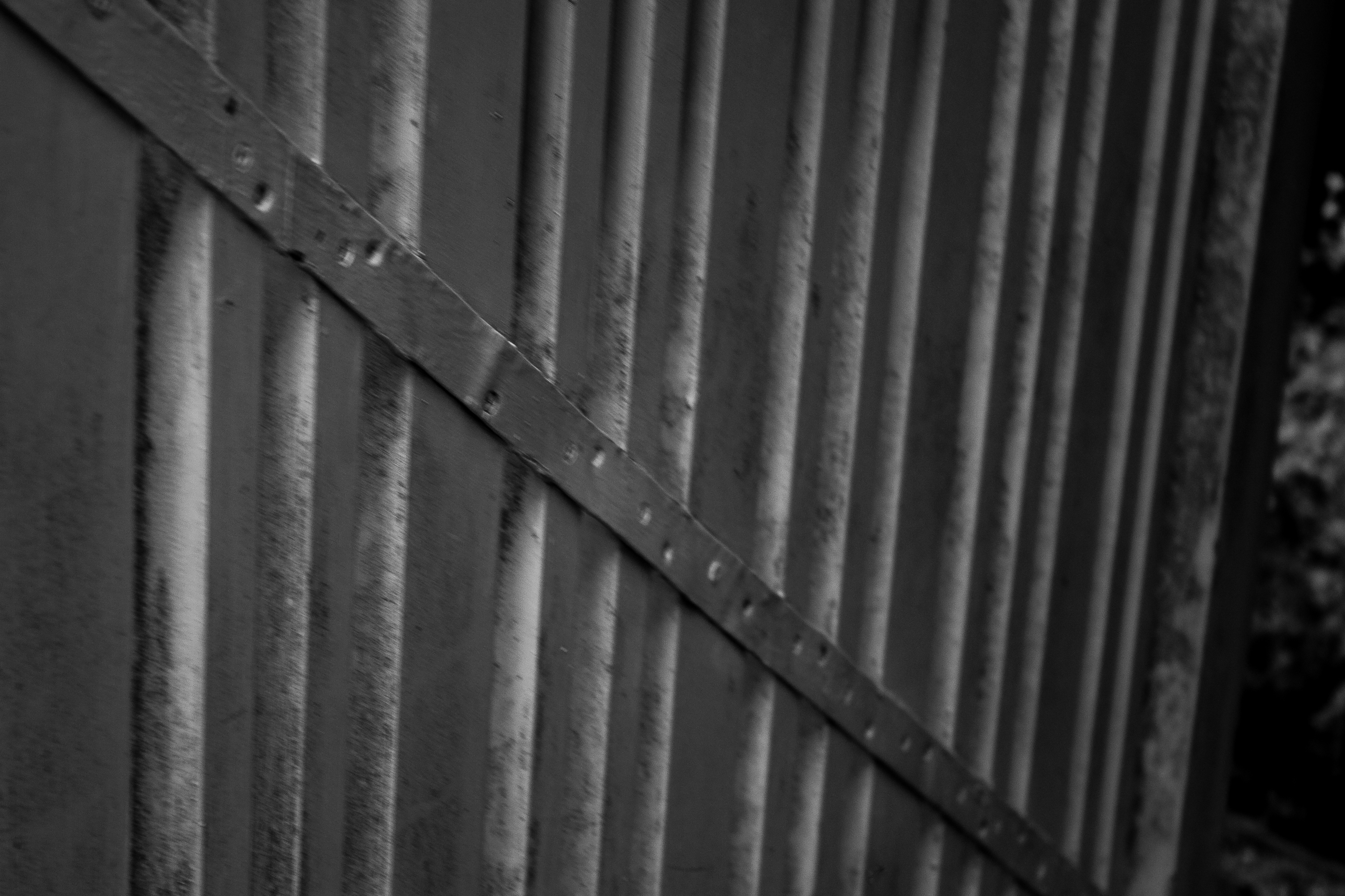
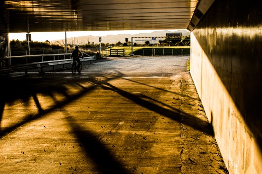
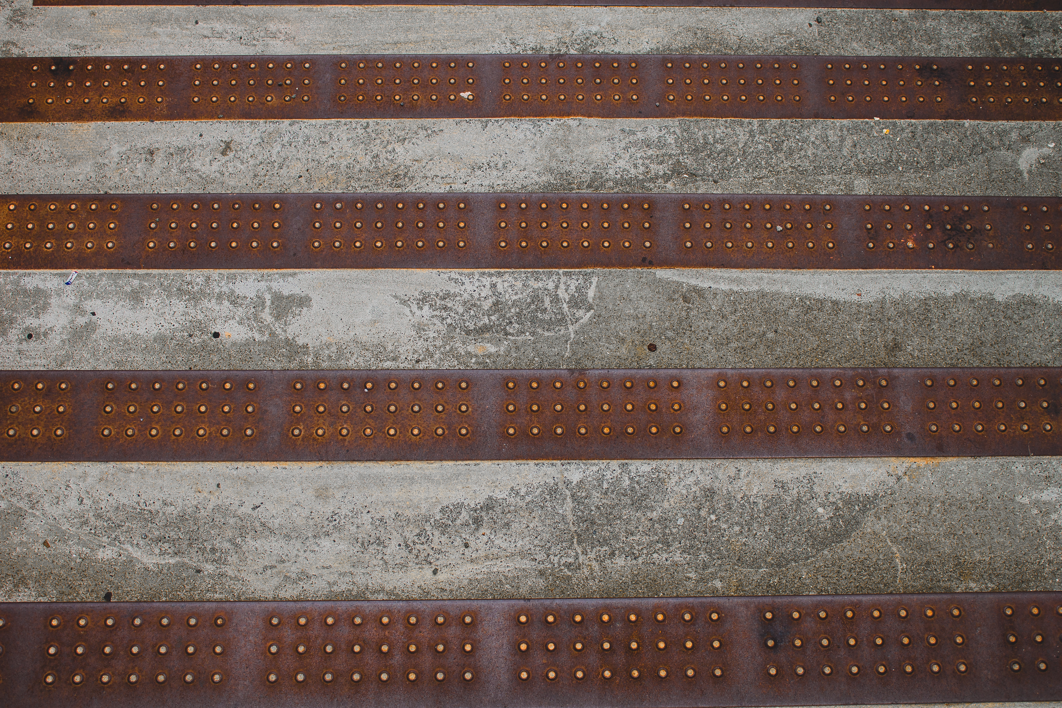
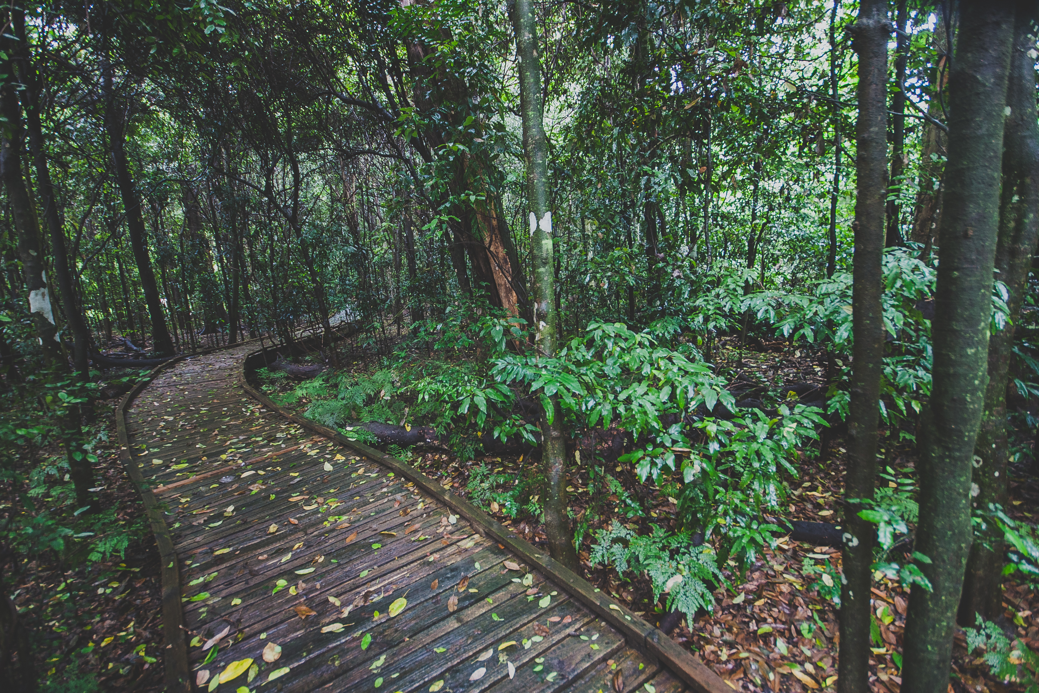
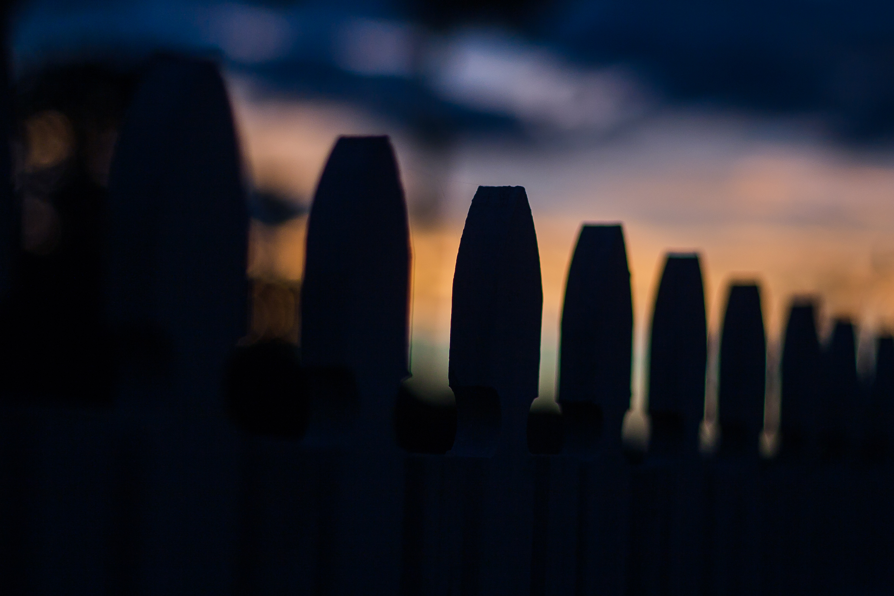
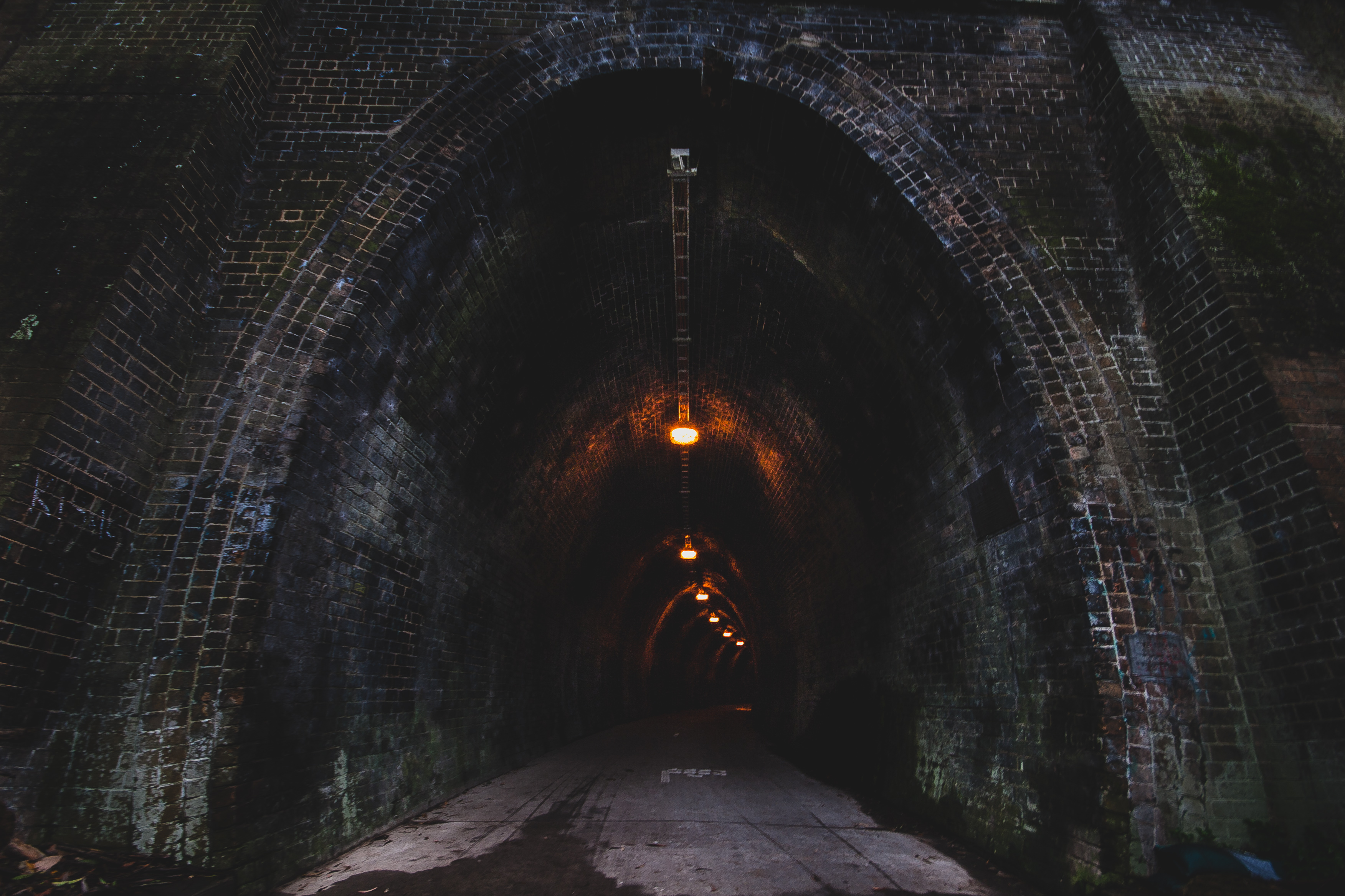
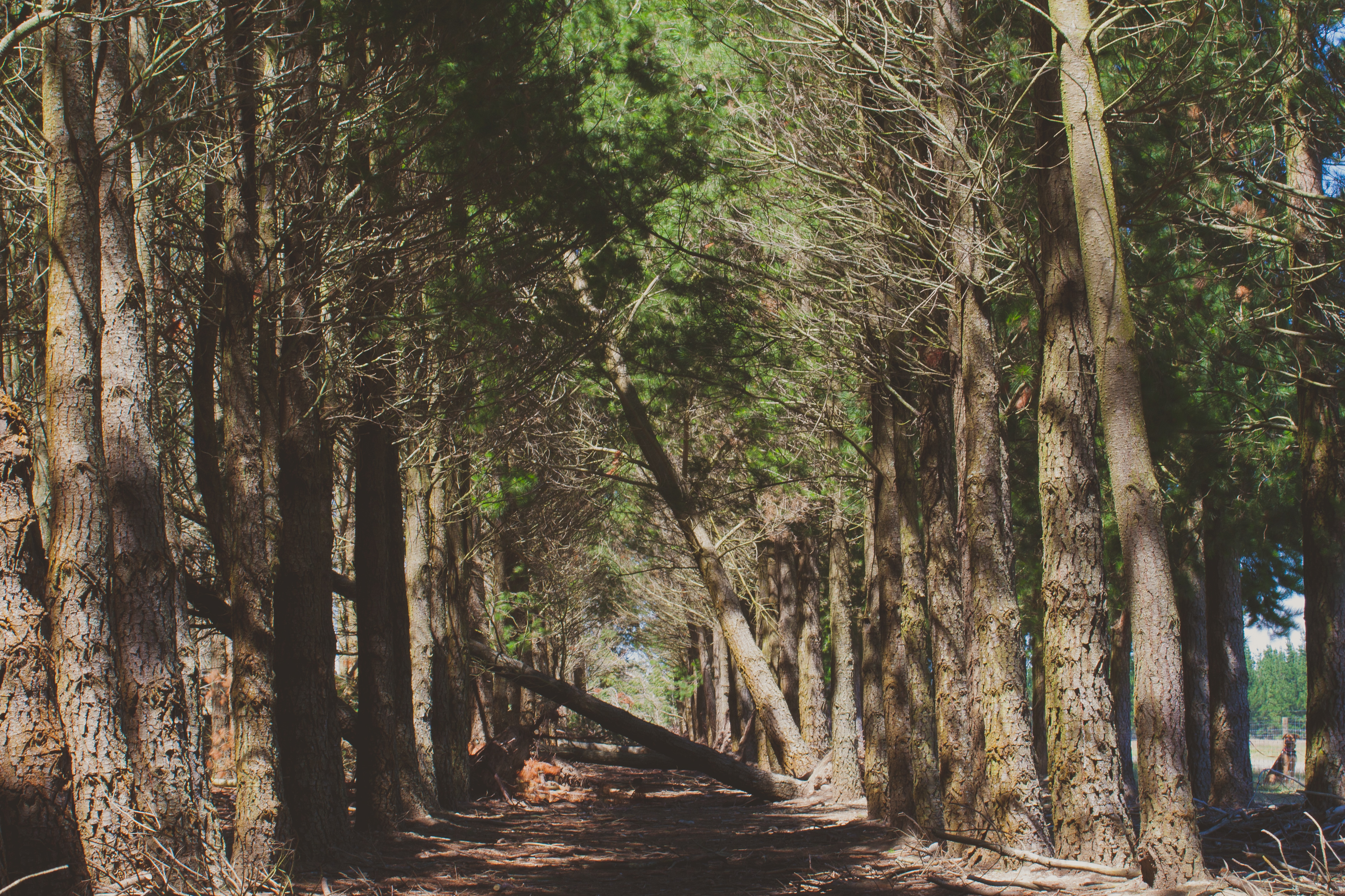
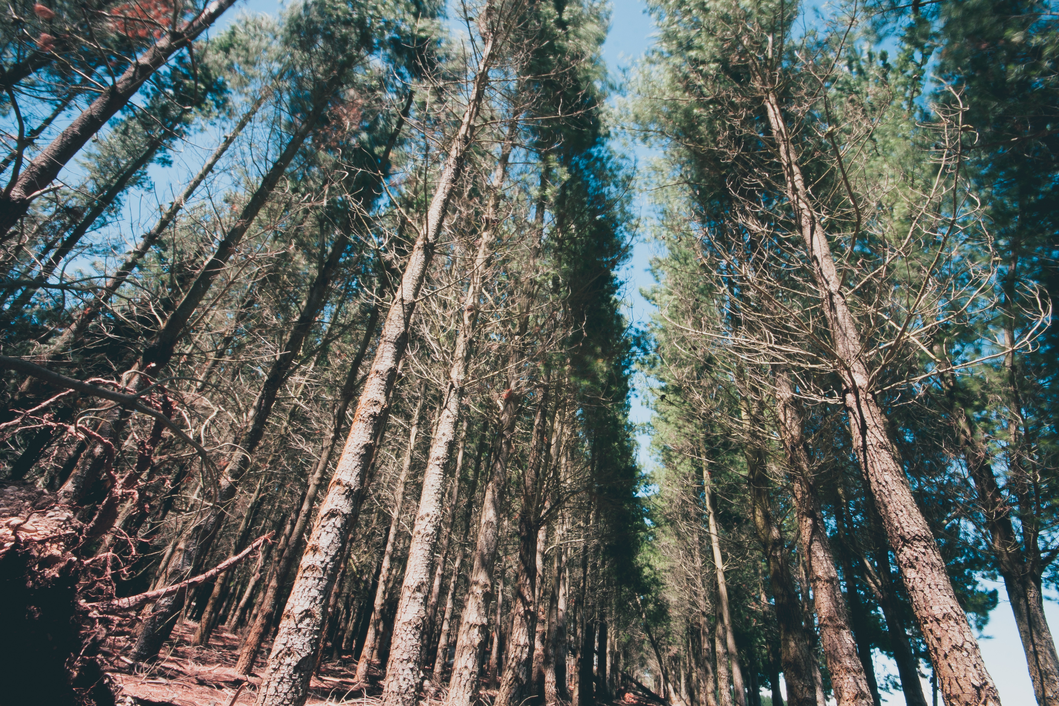
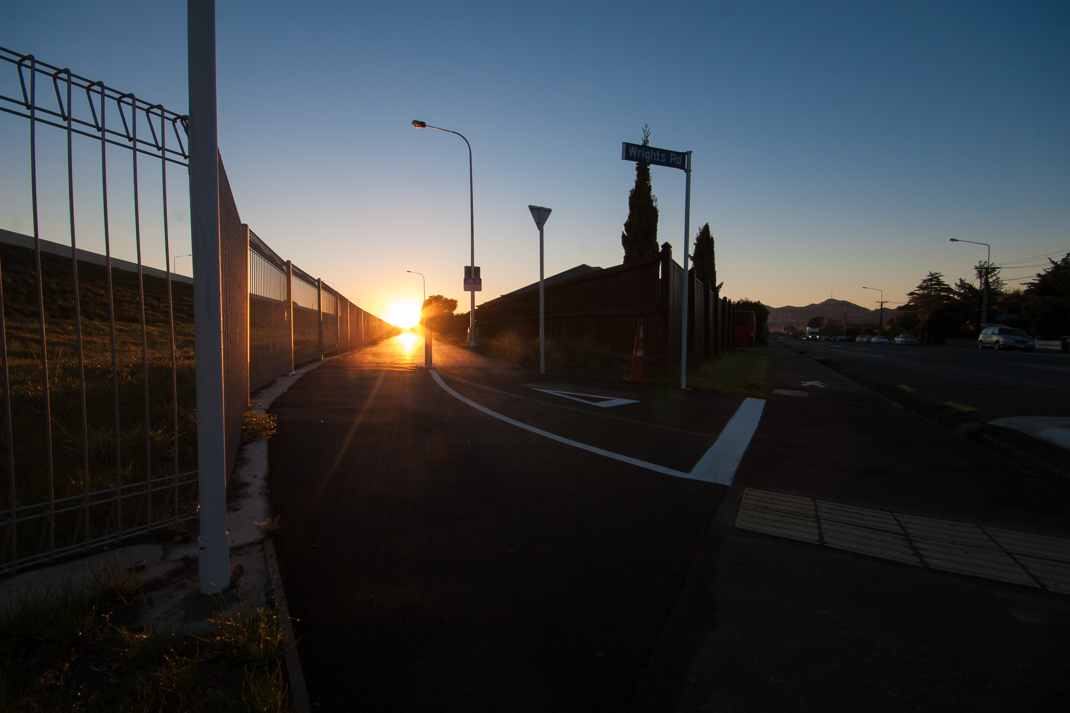
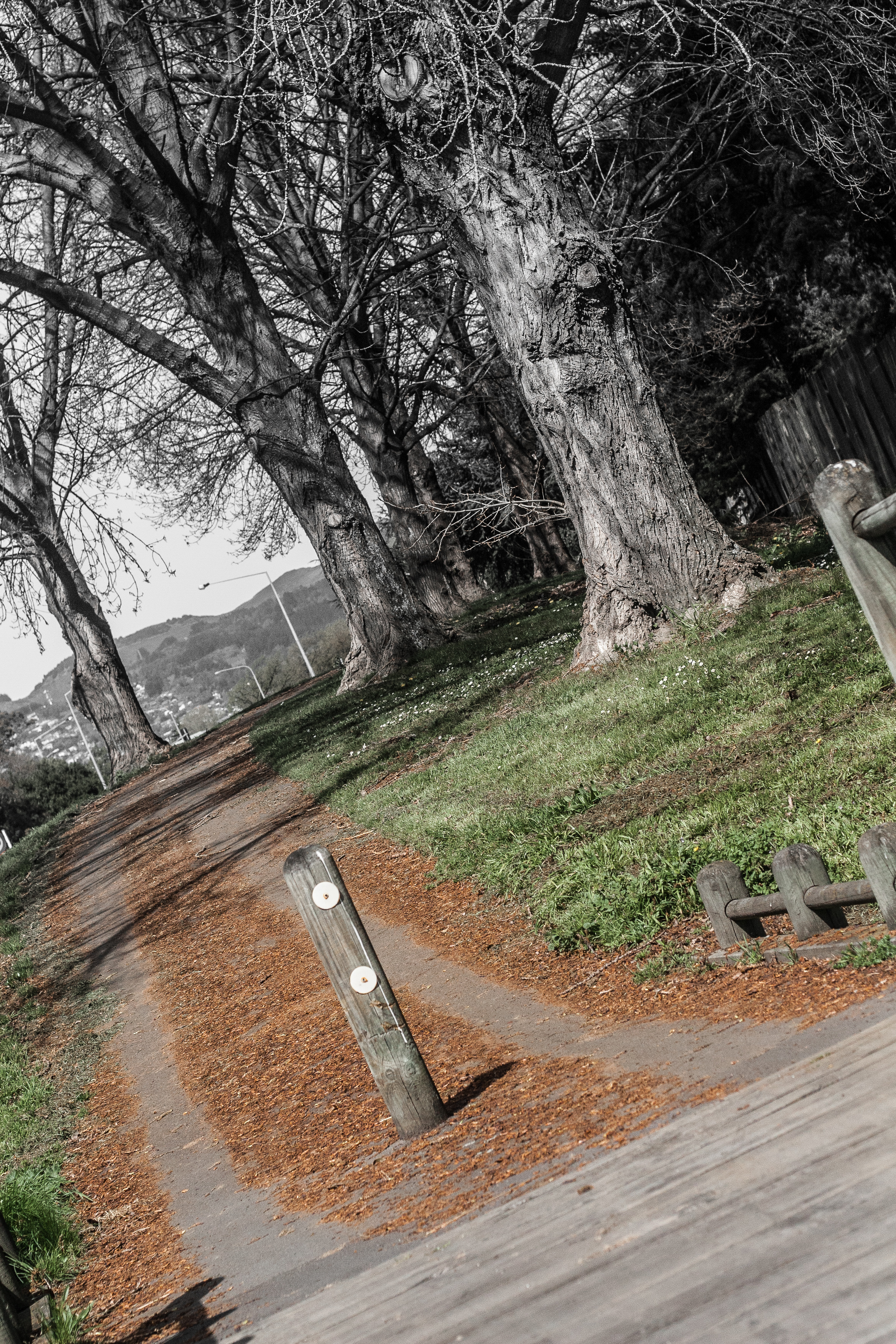
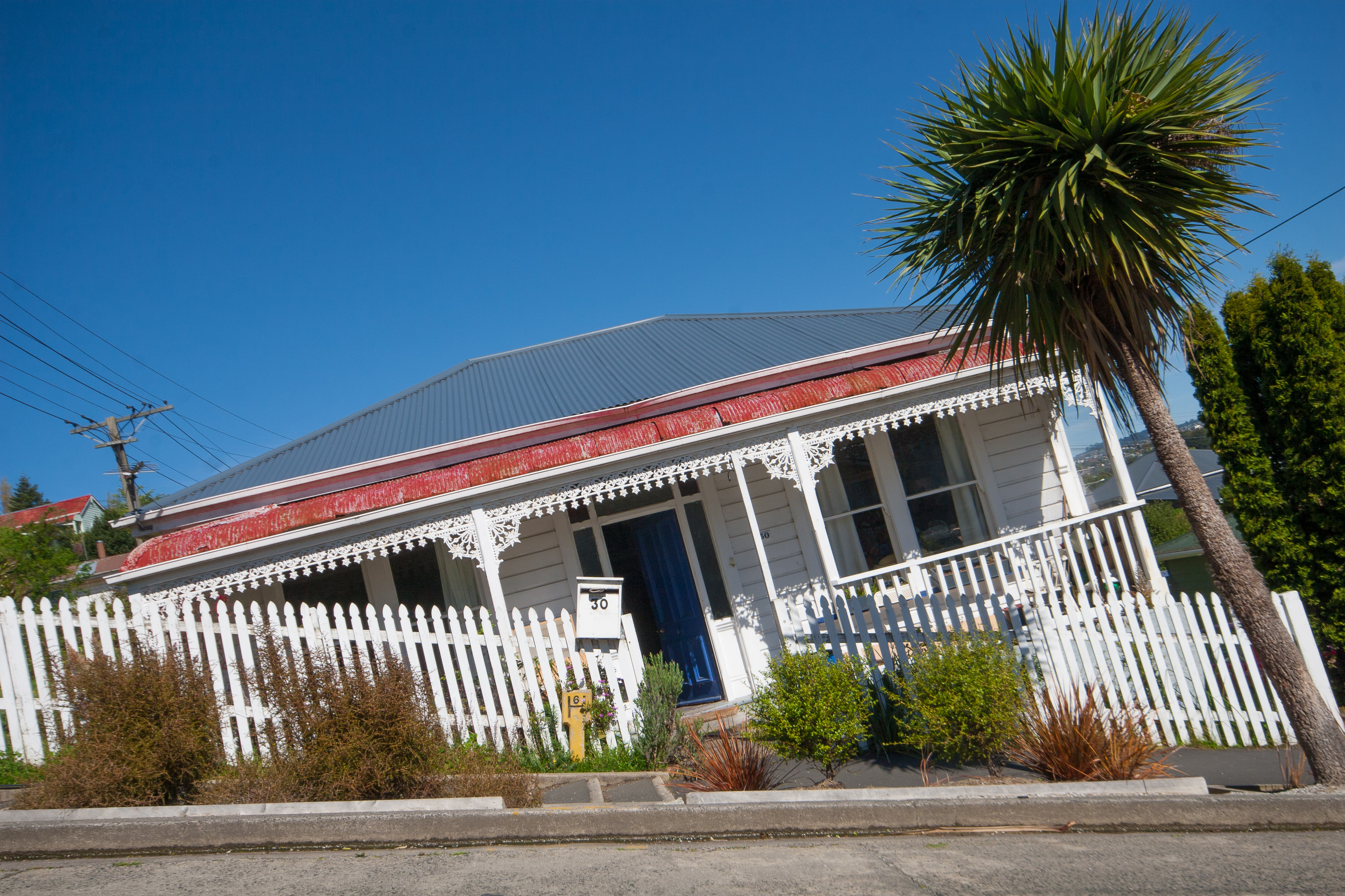
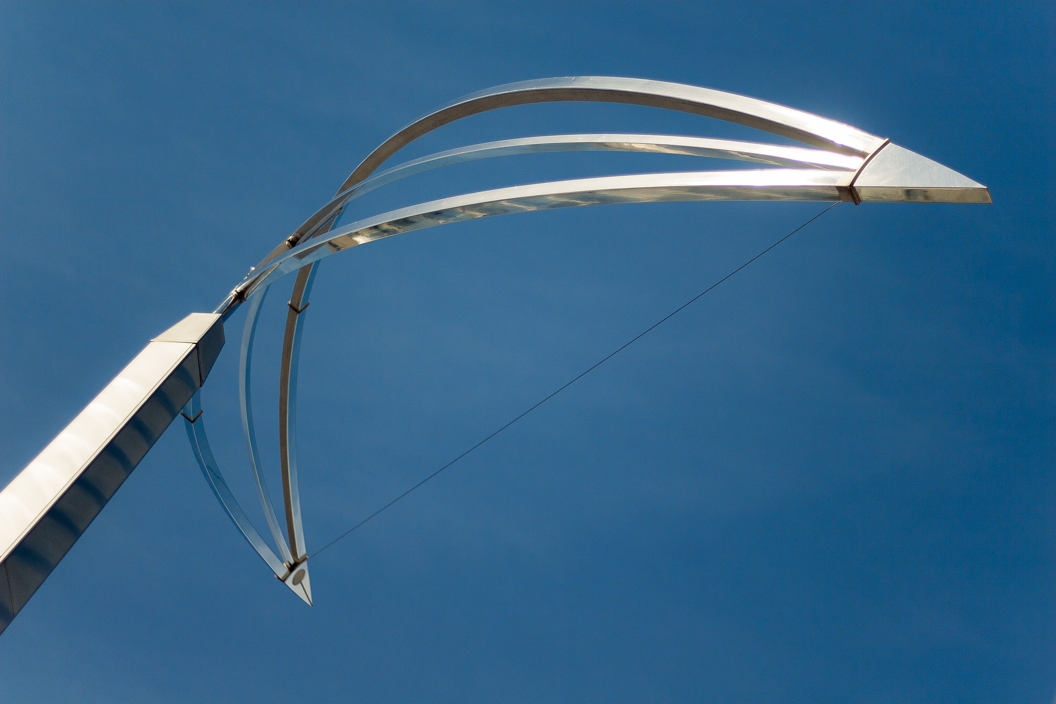
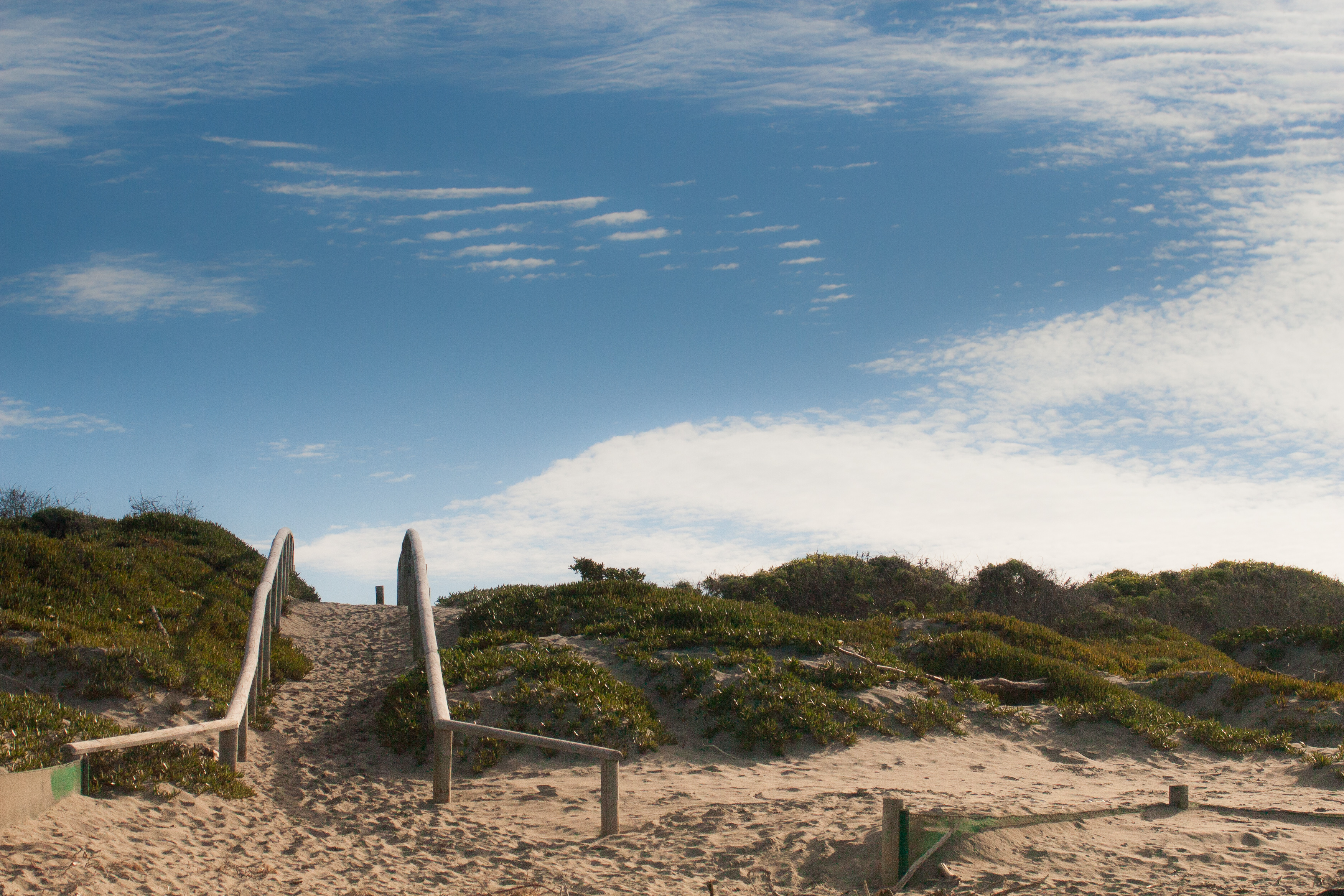
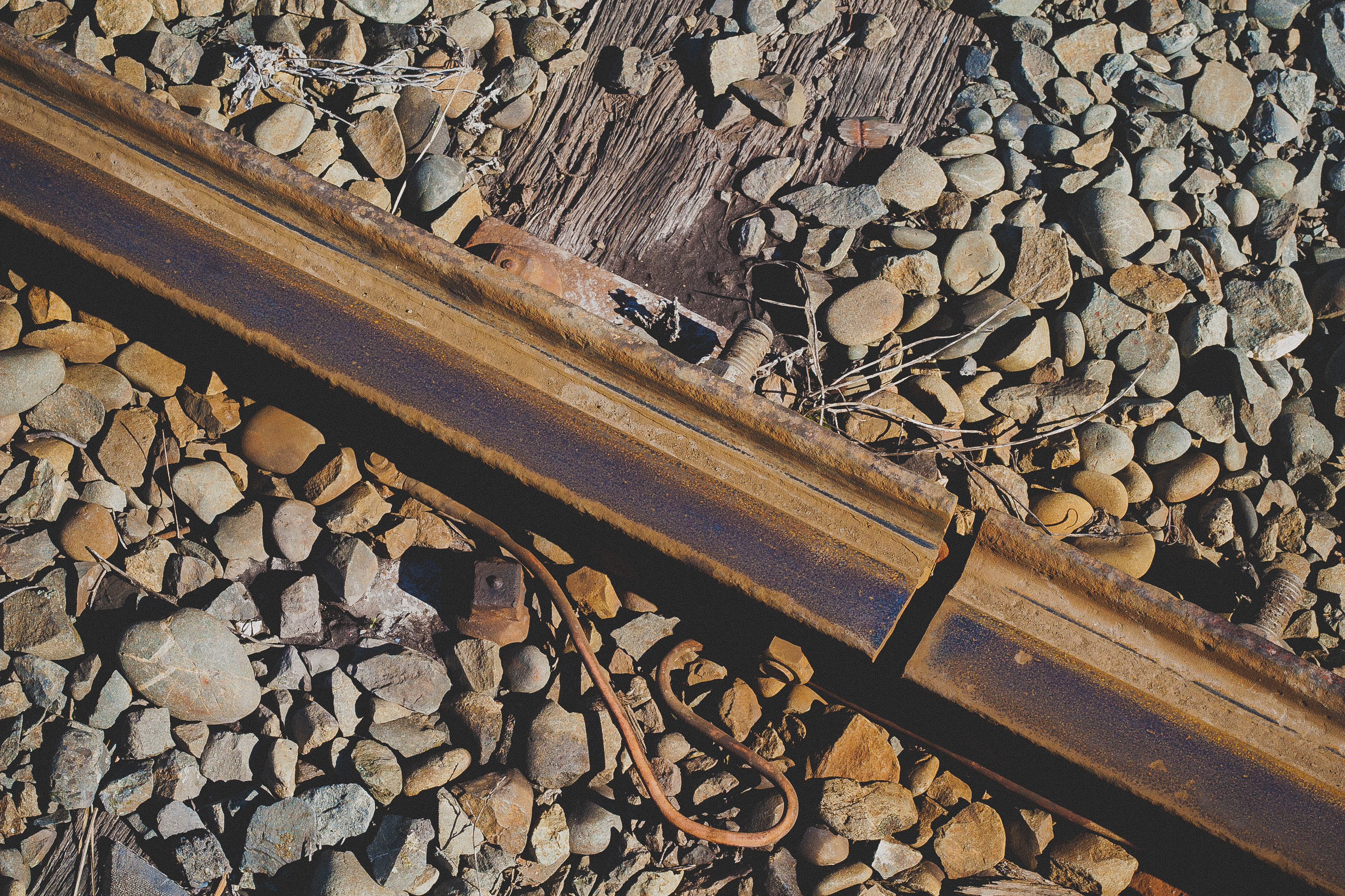
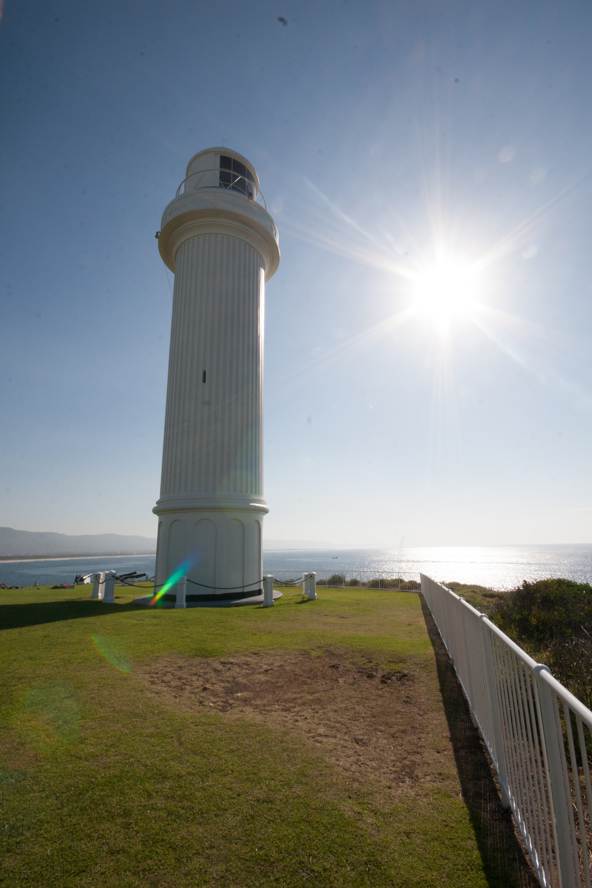
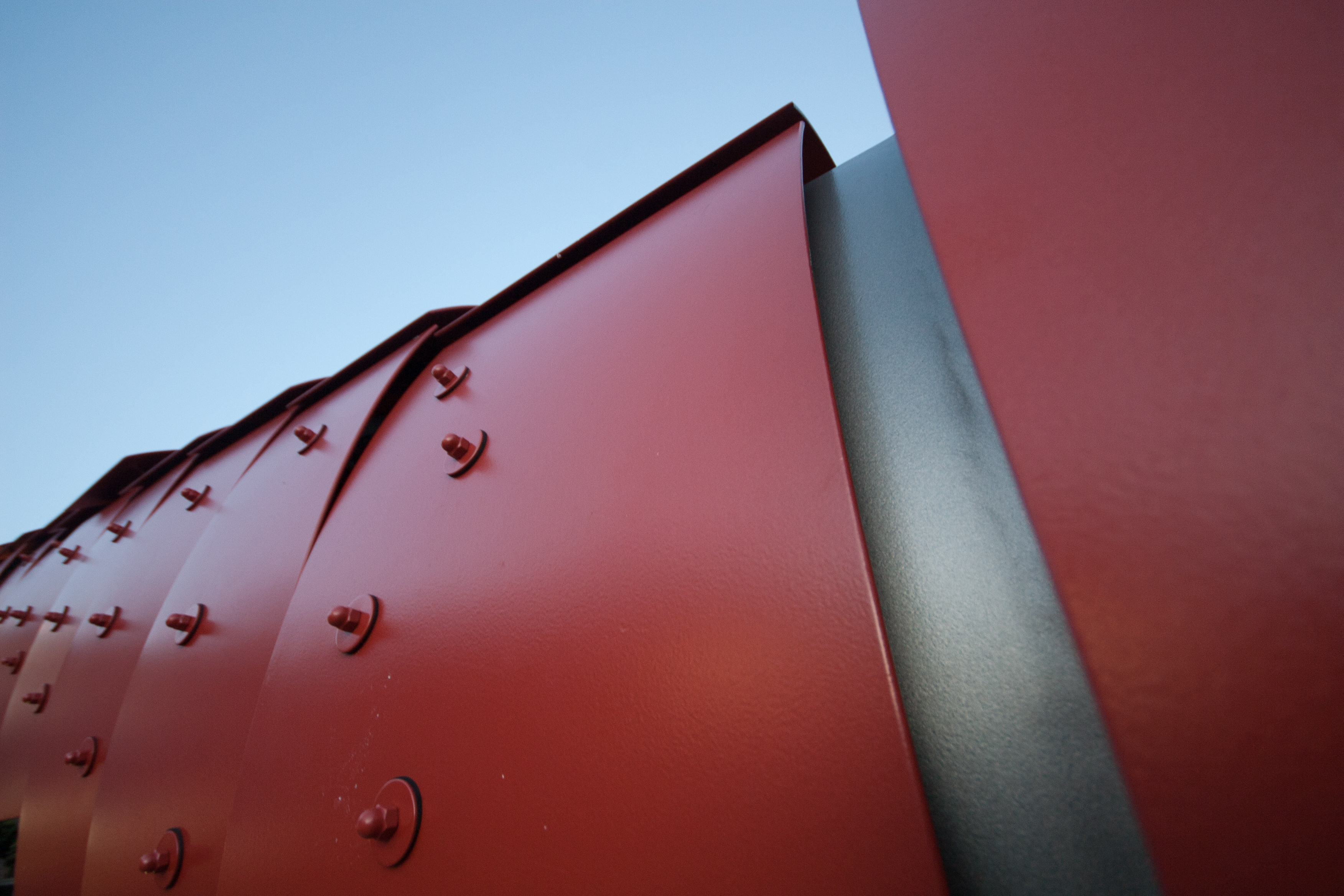
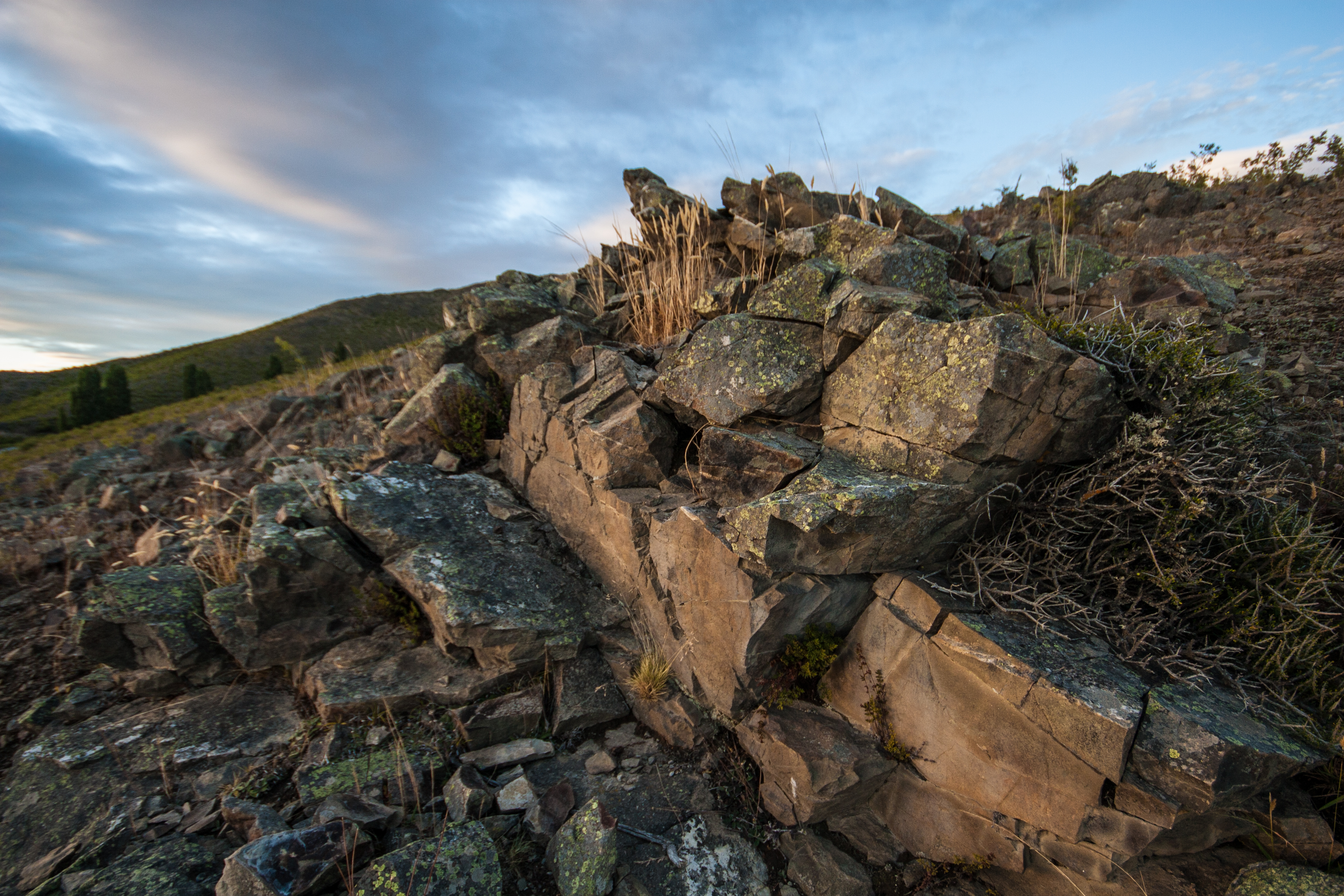
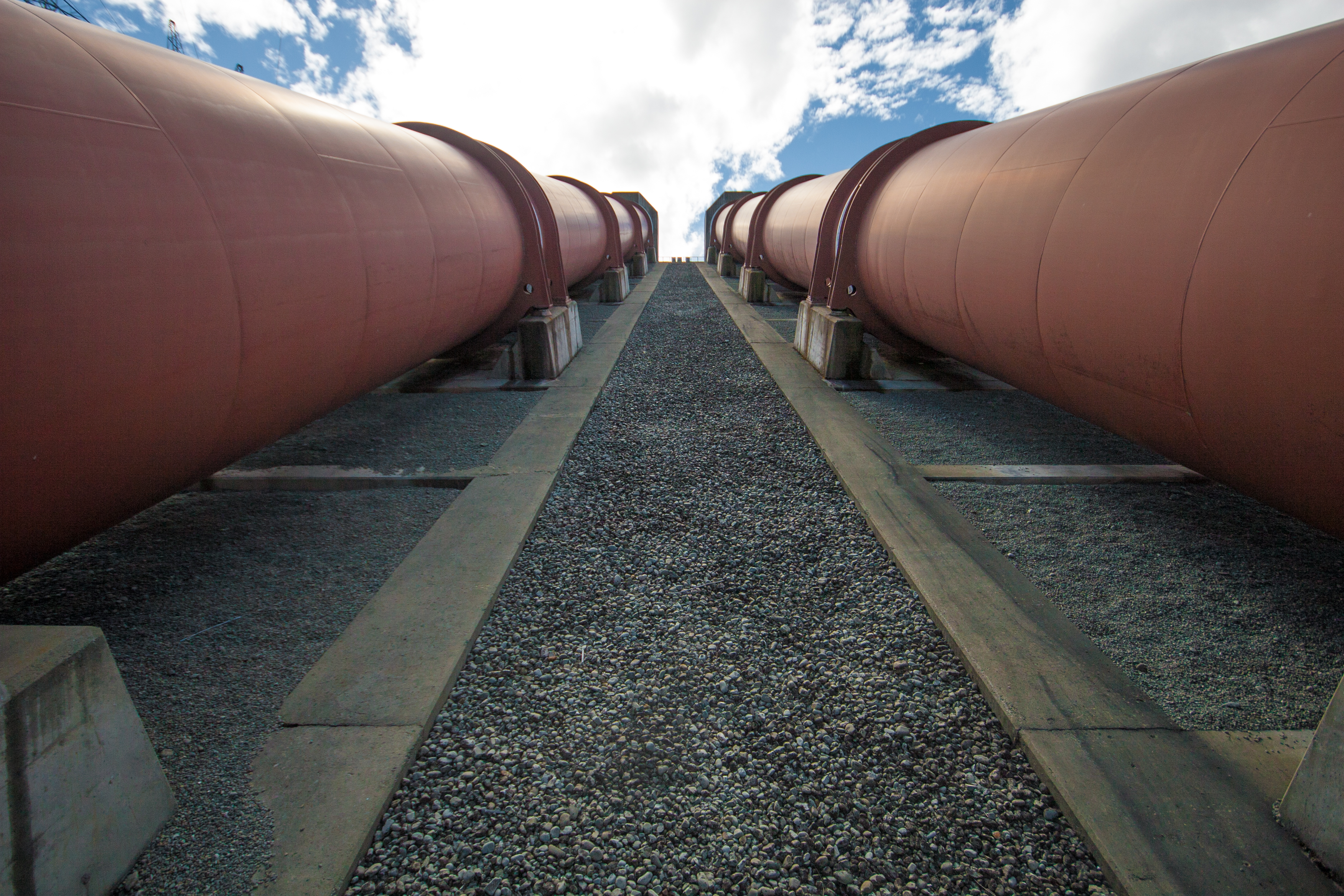
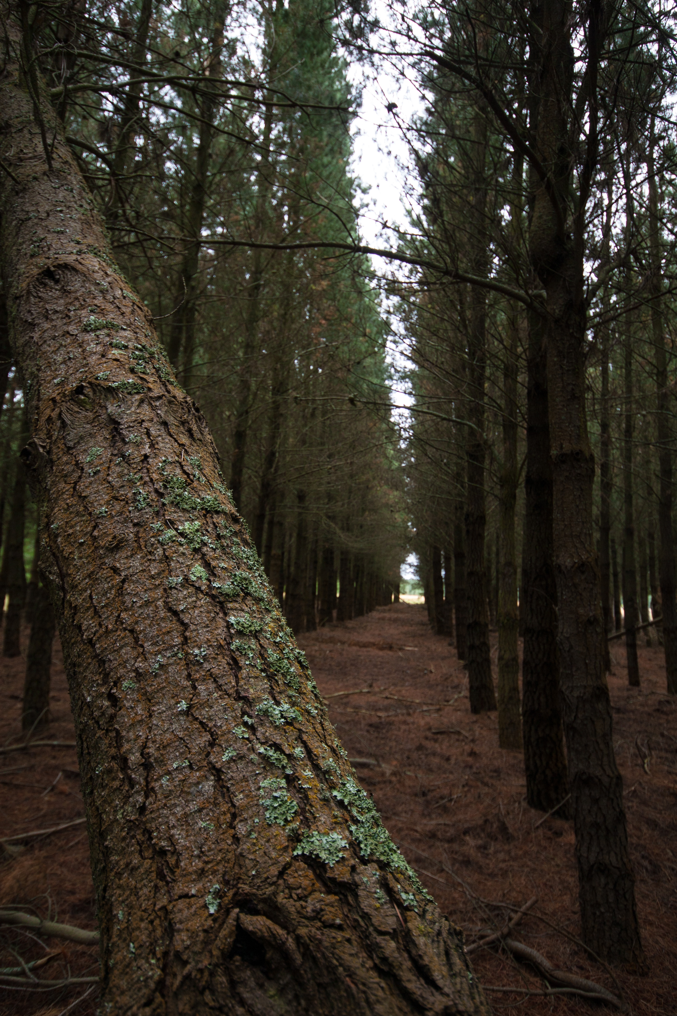
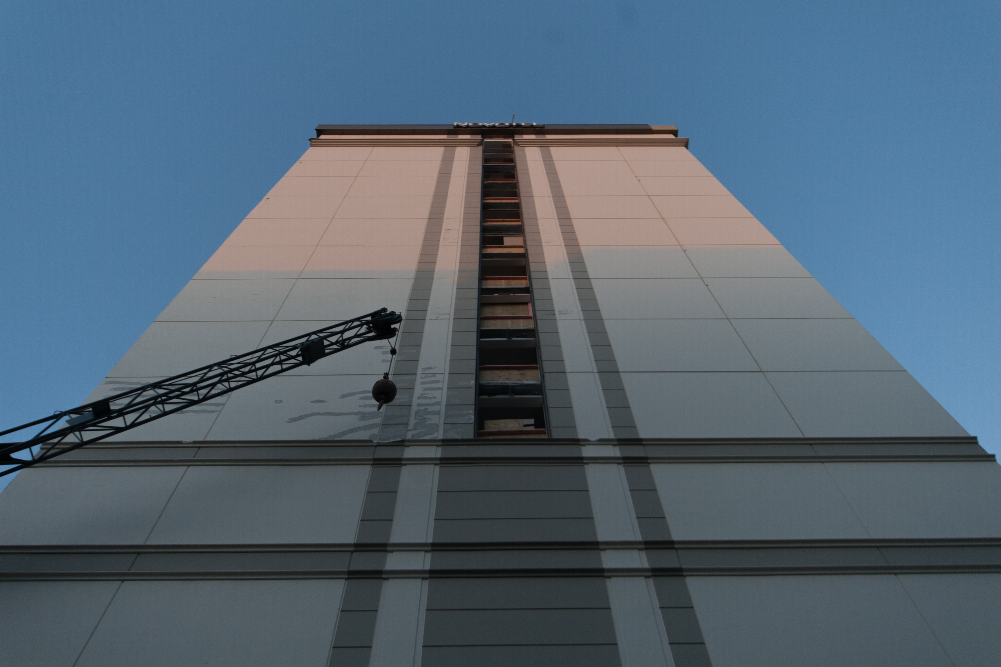
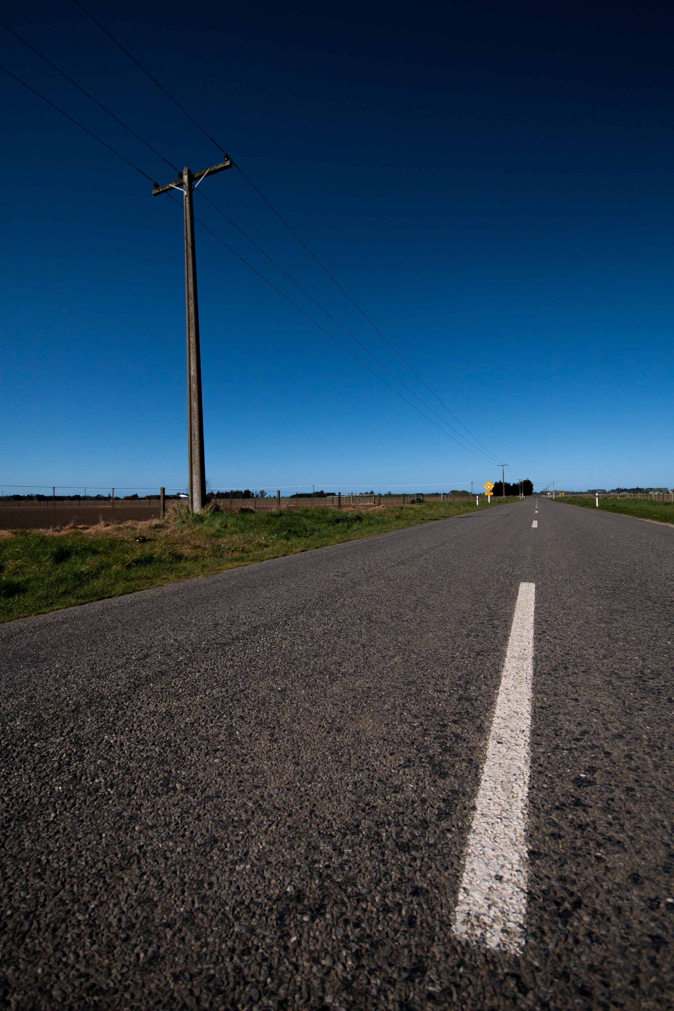
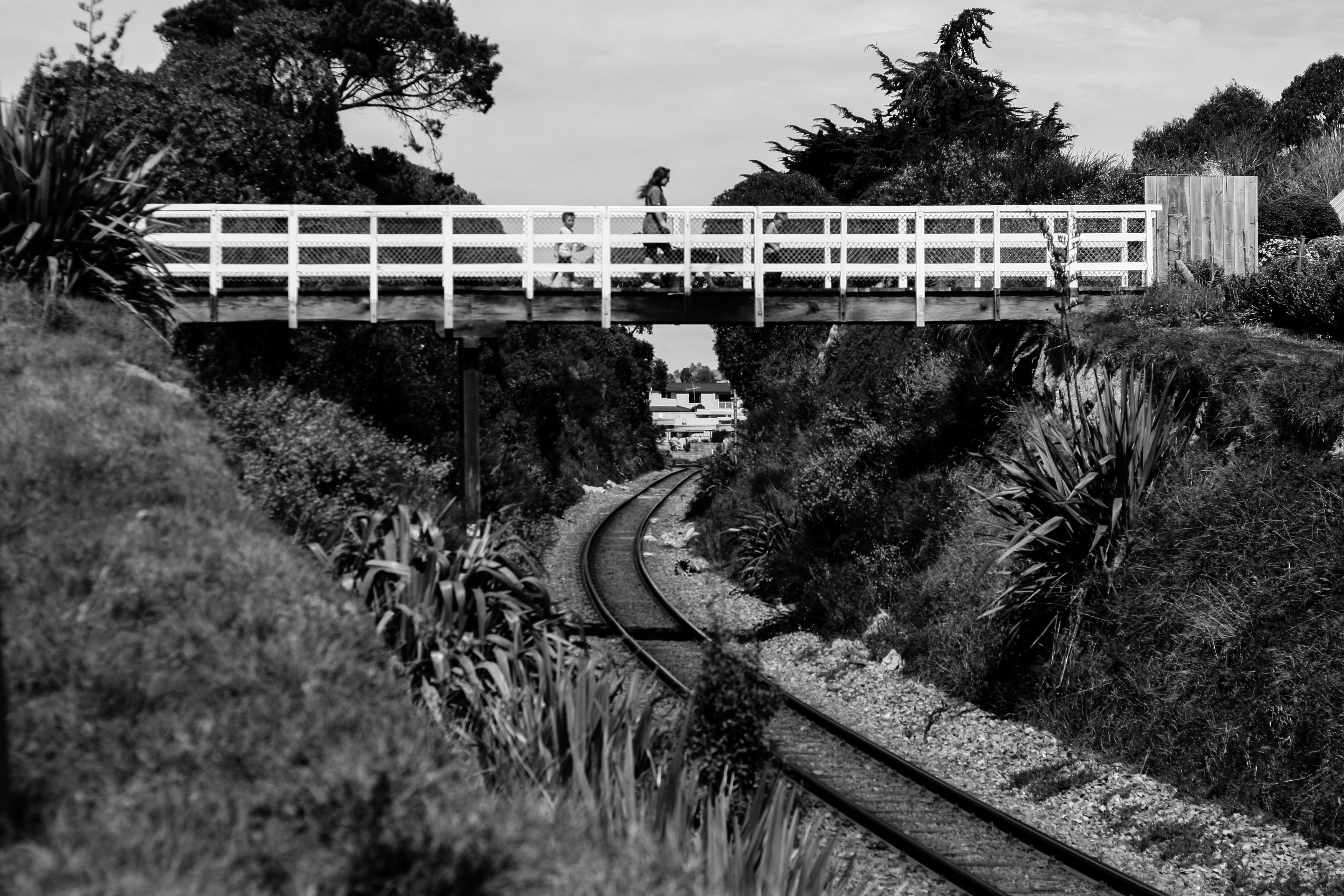
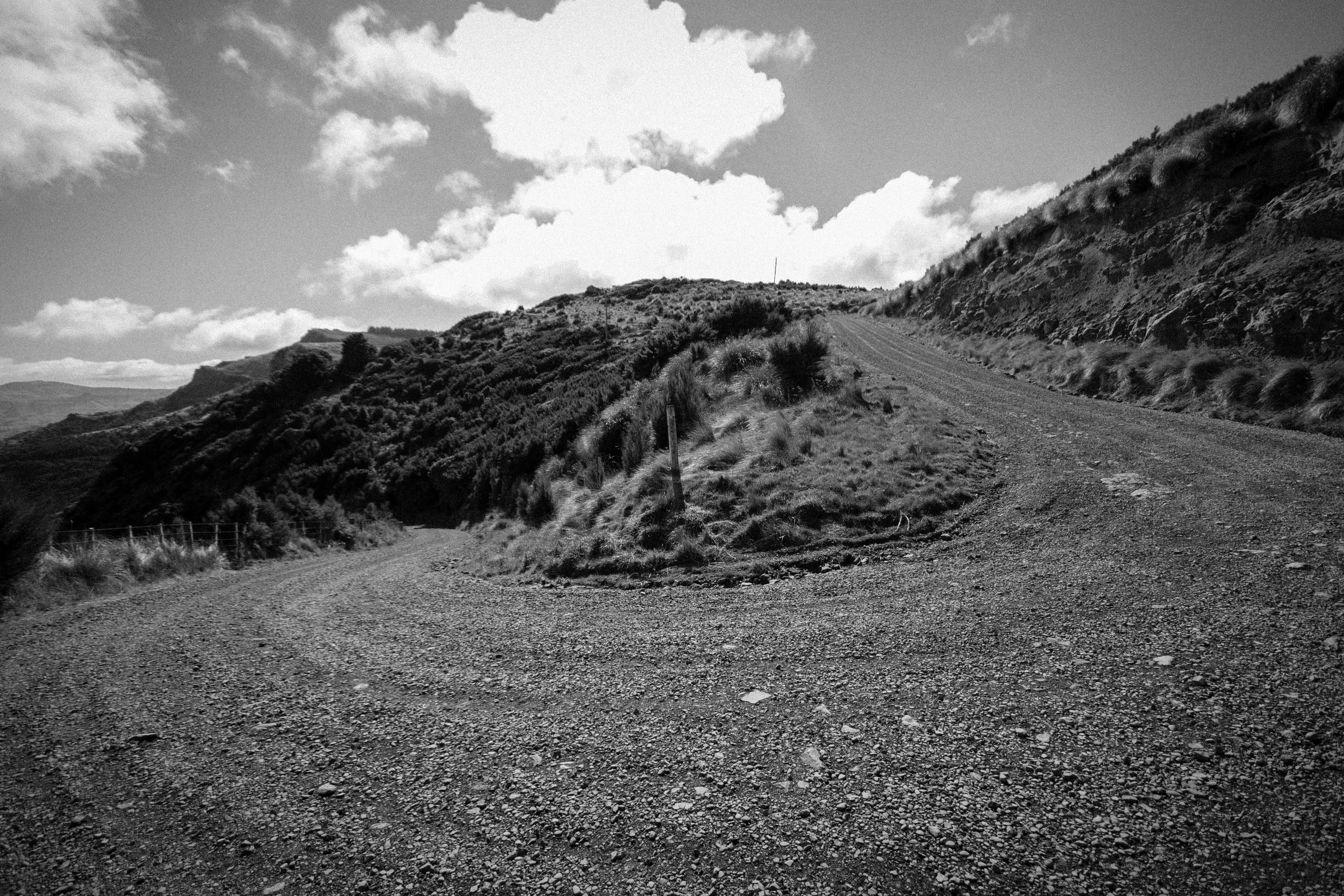
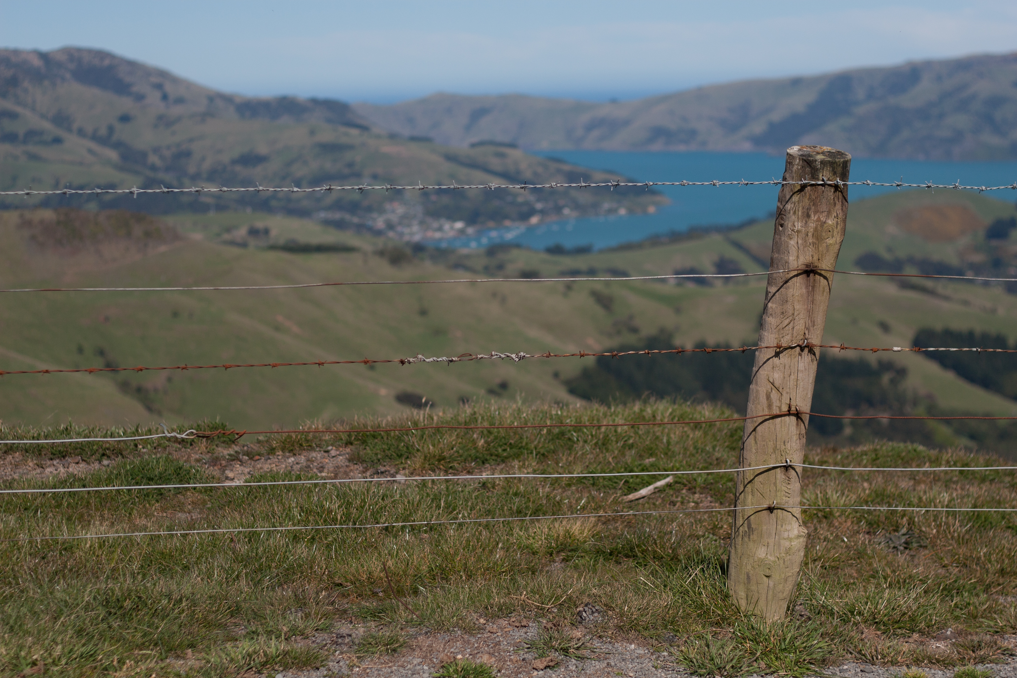
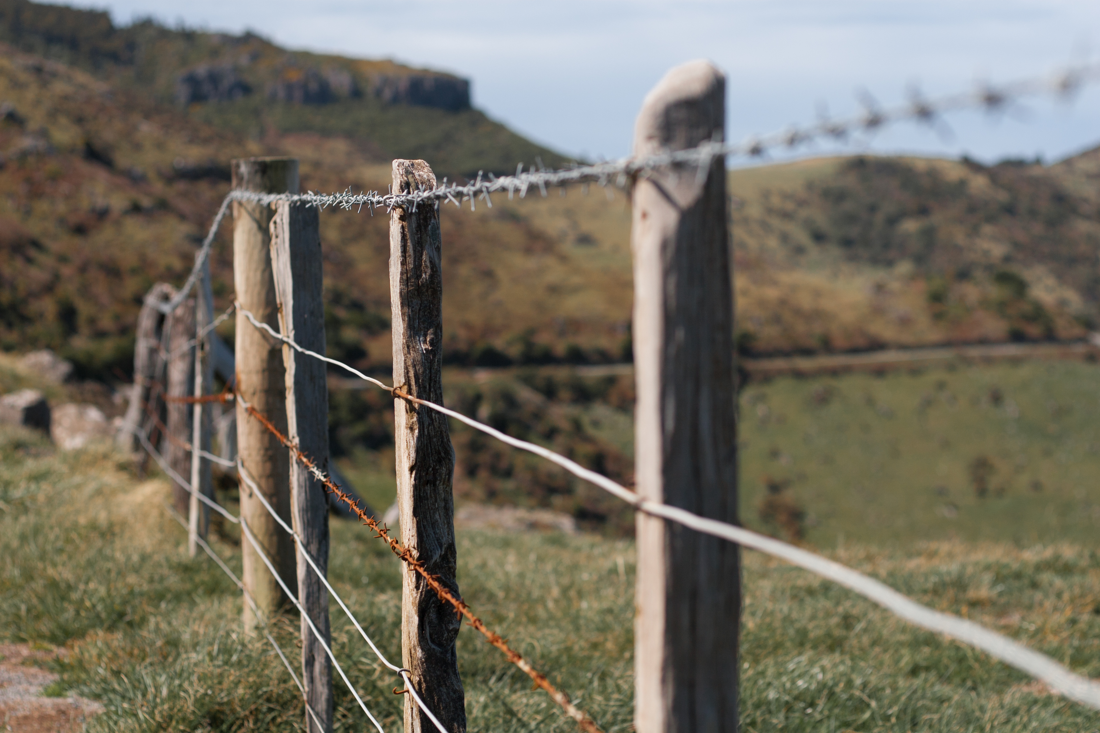
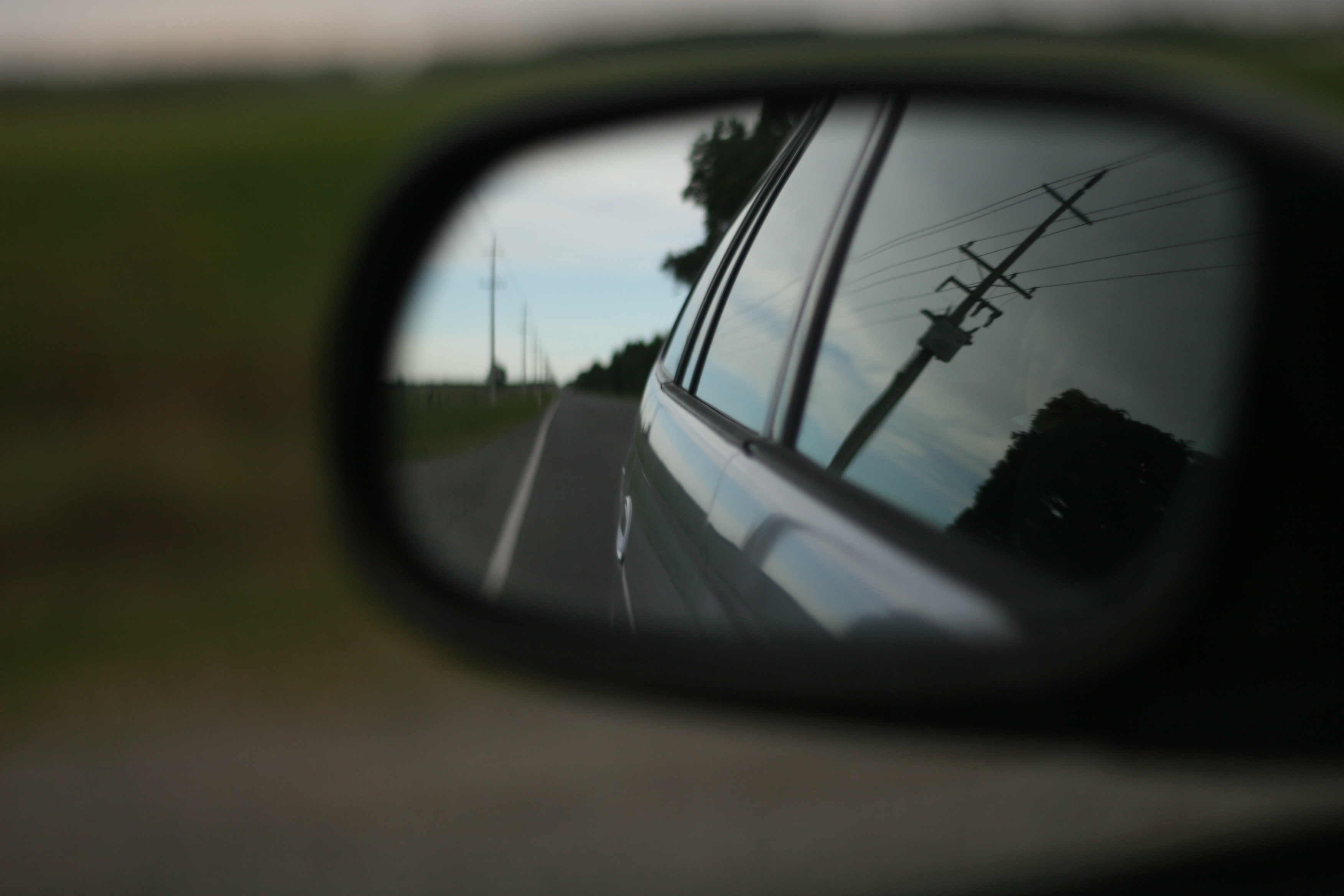
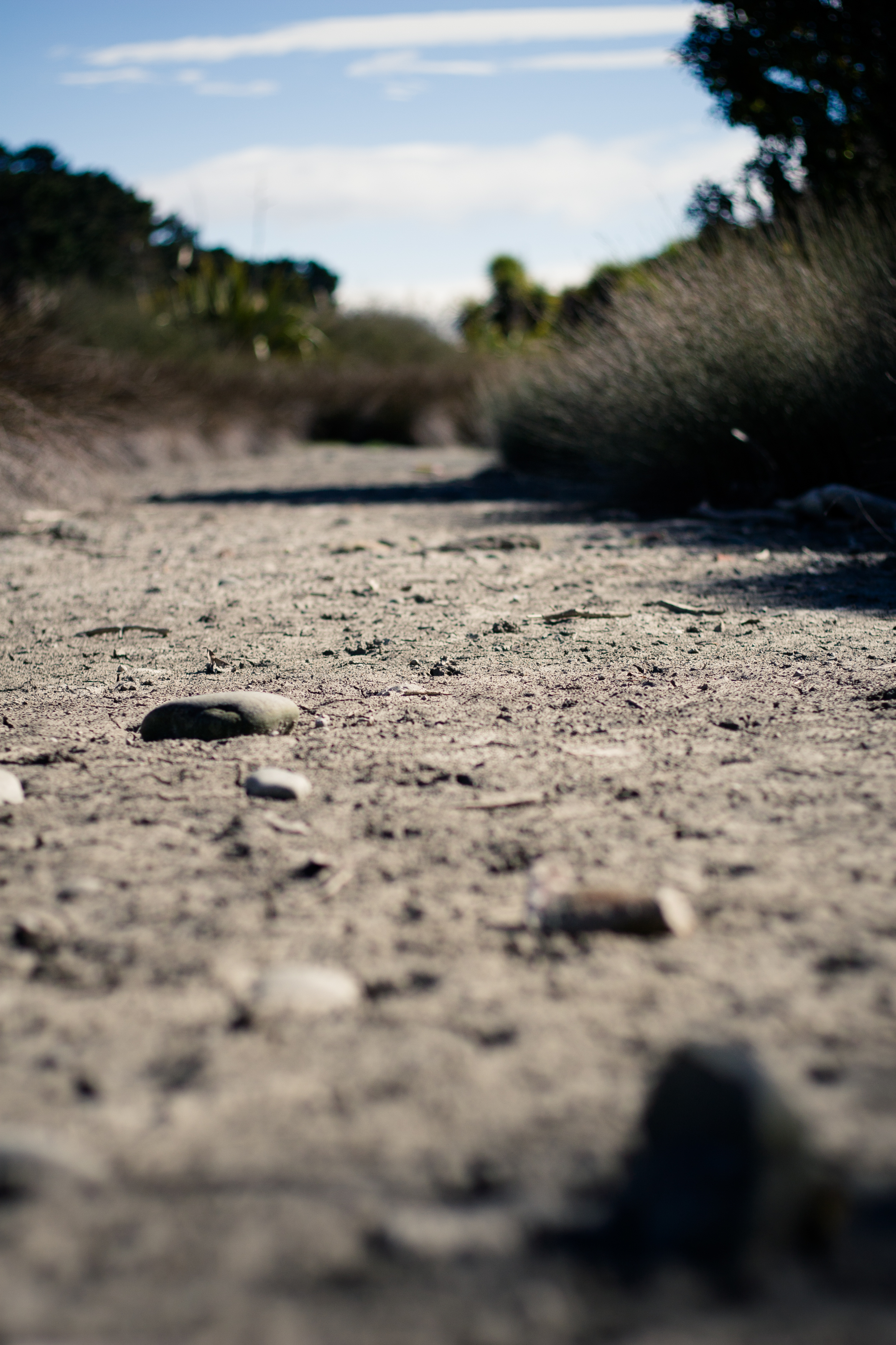
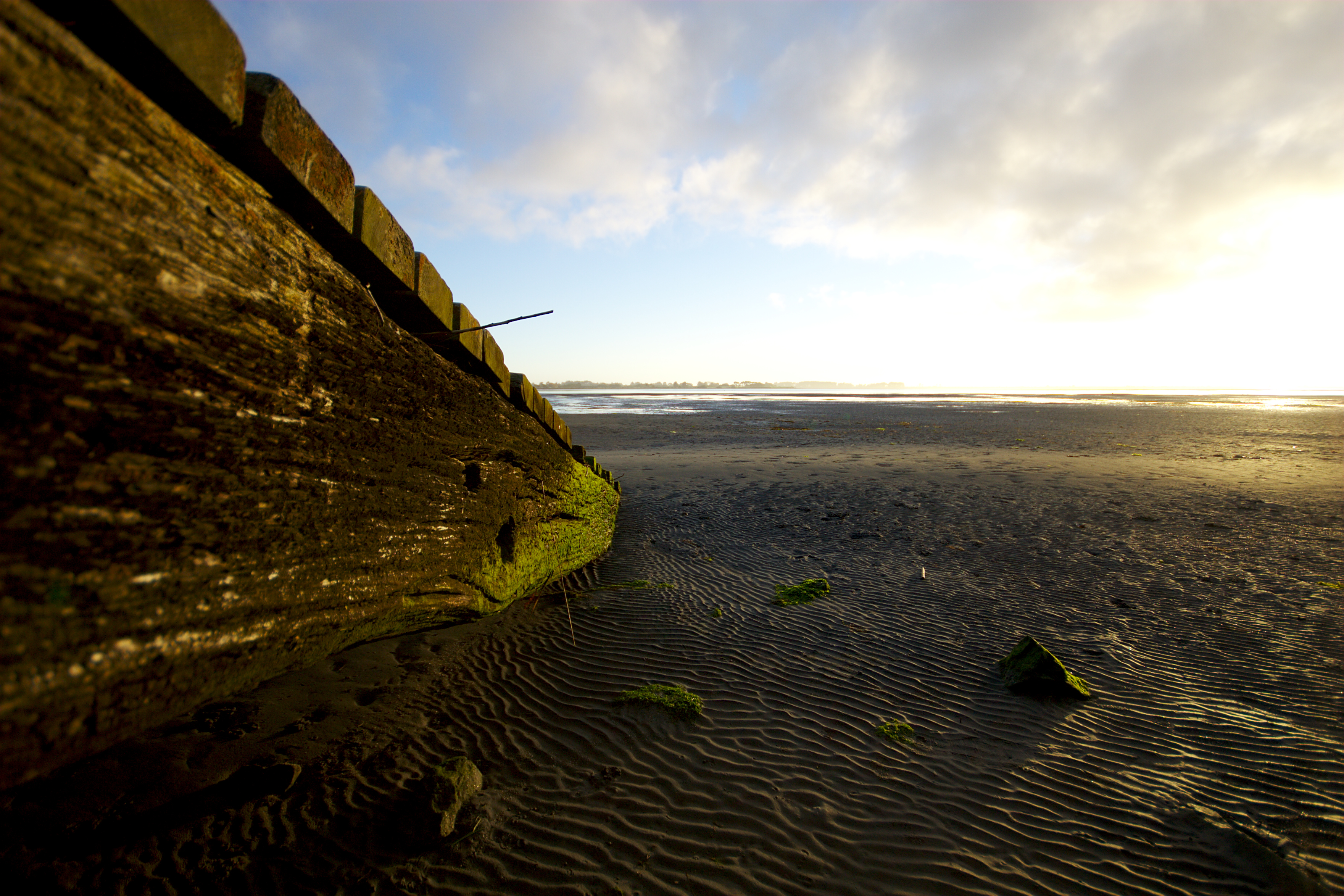
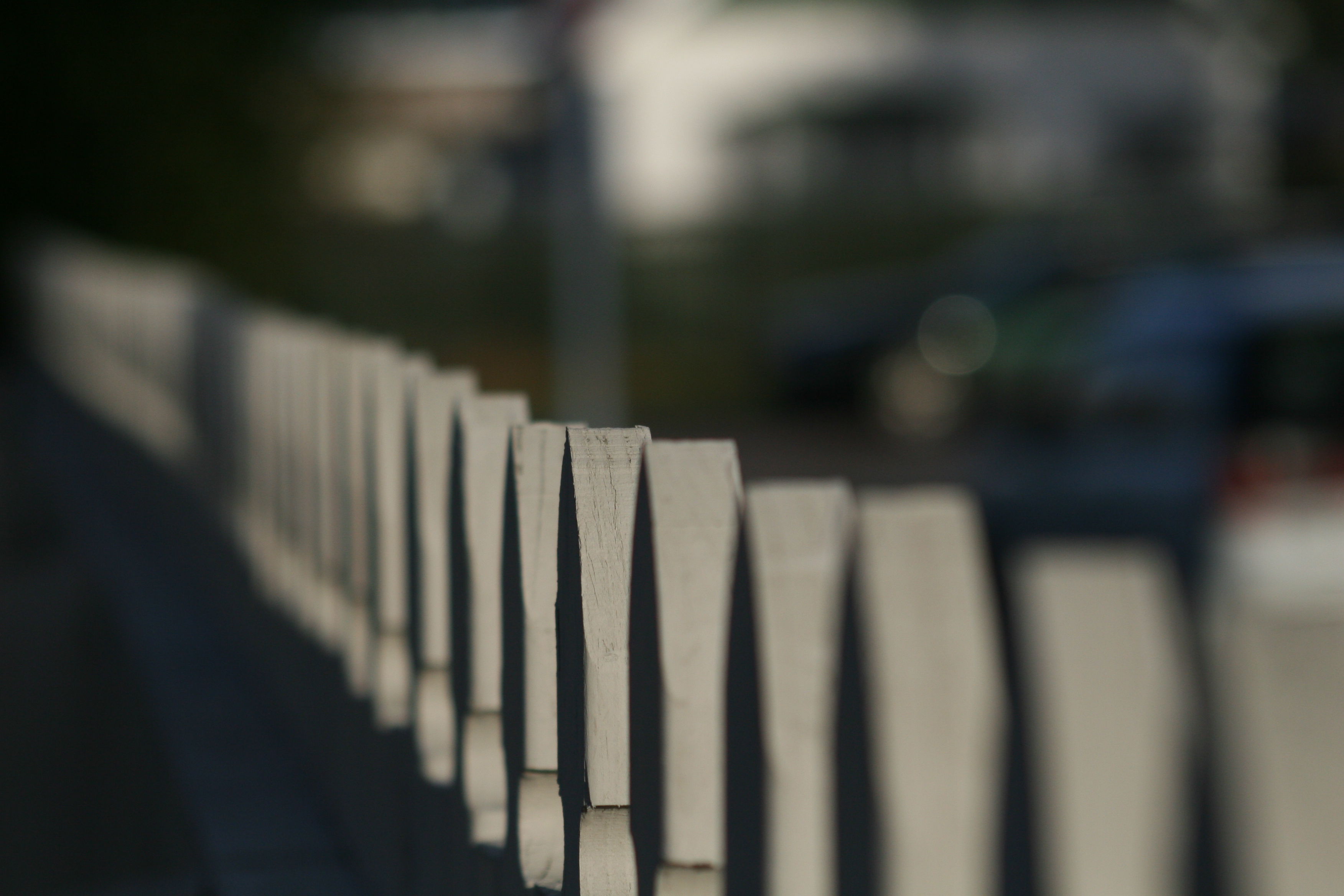
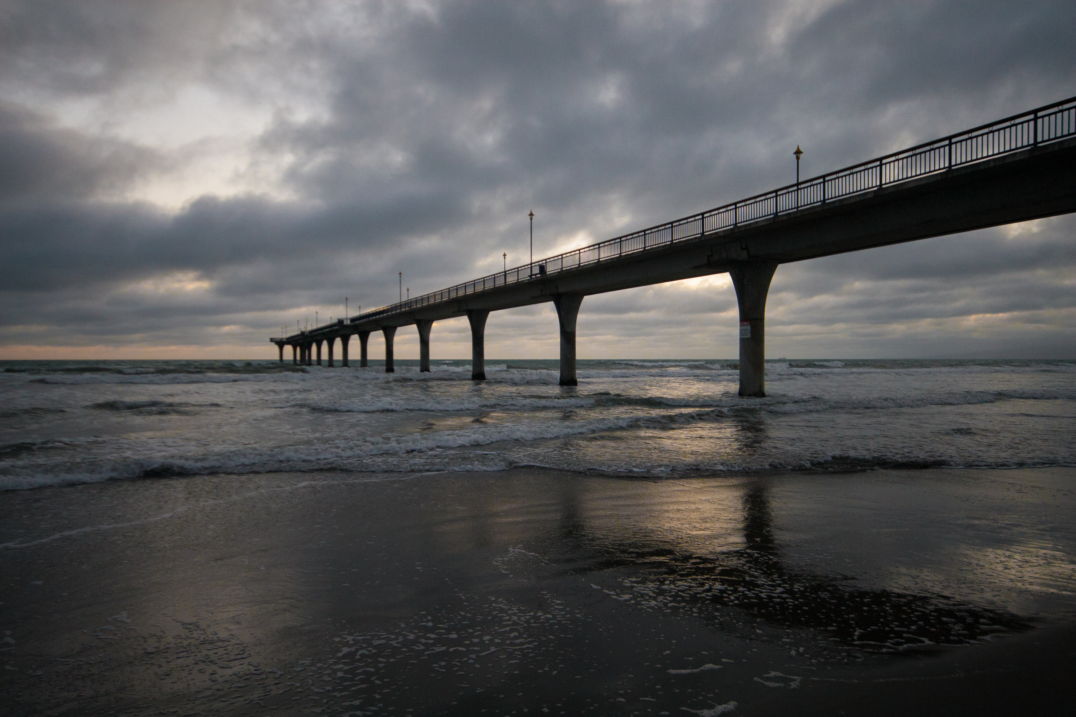
on the straight and narrow
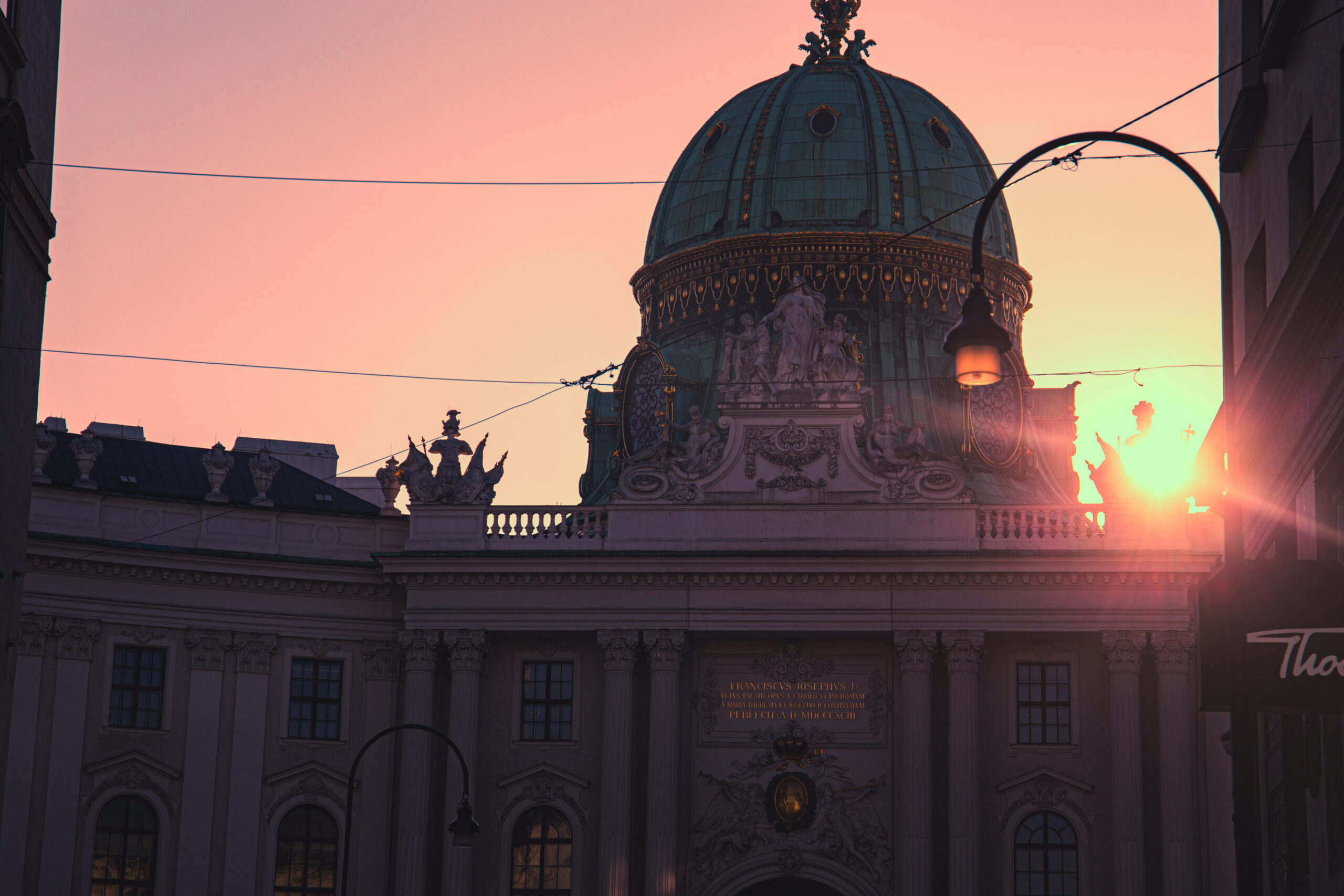
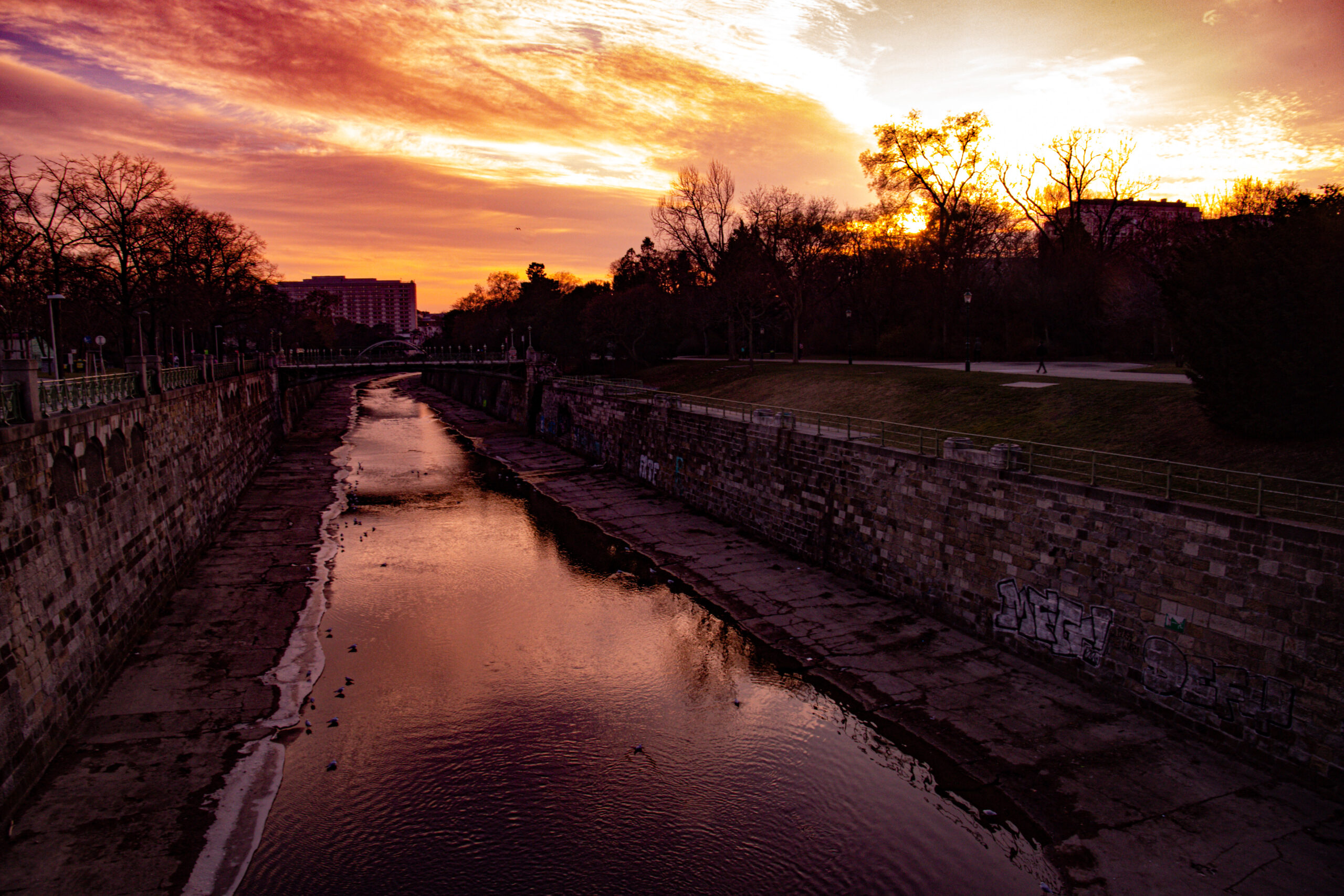
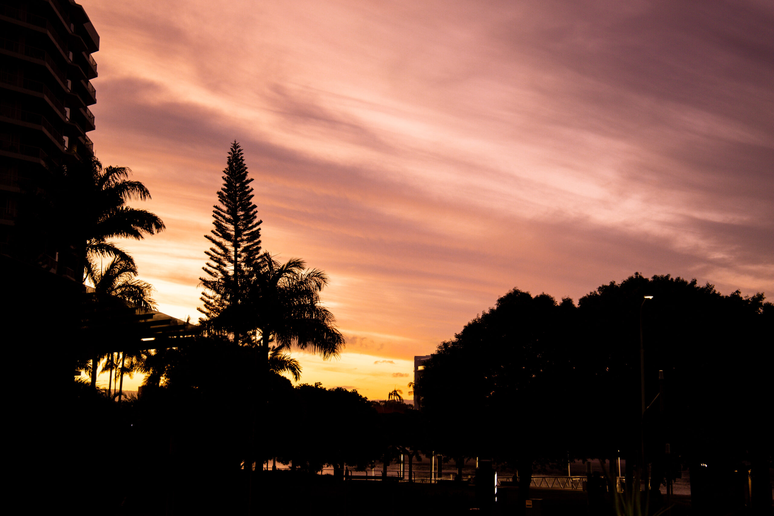
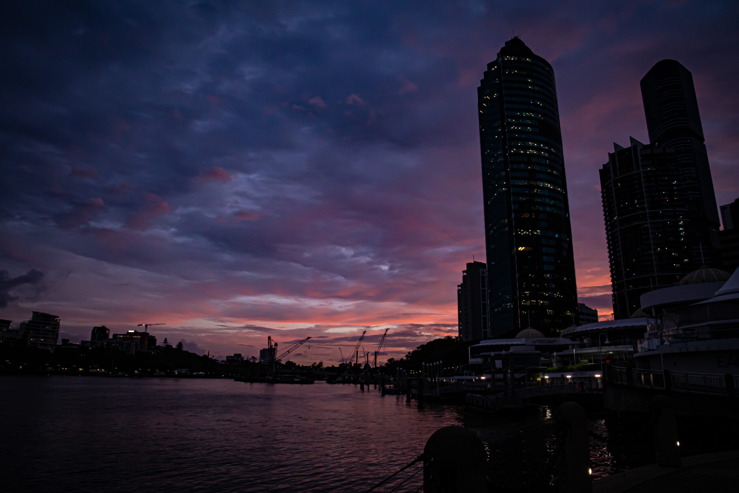
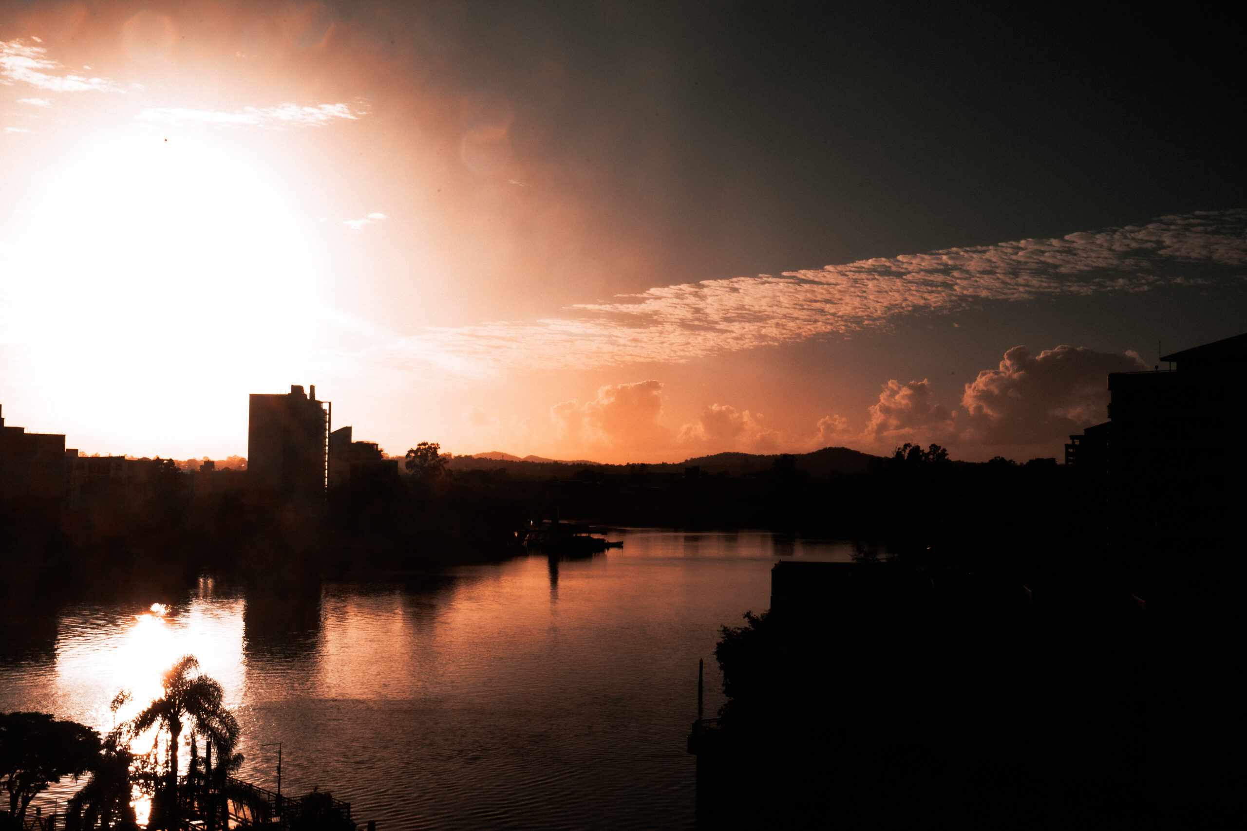
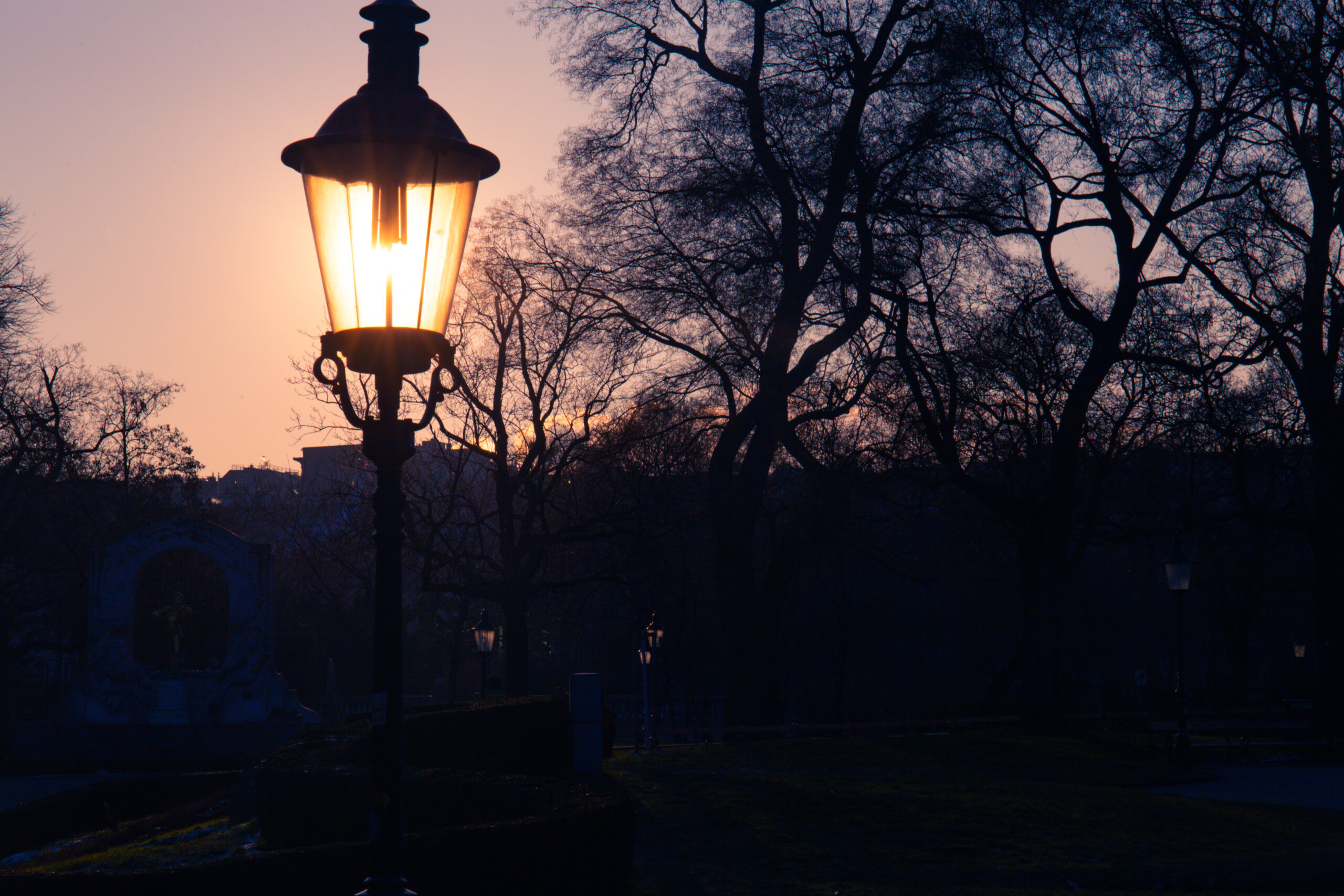
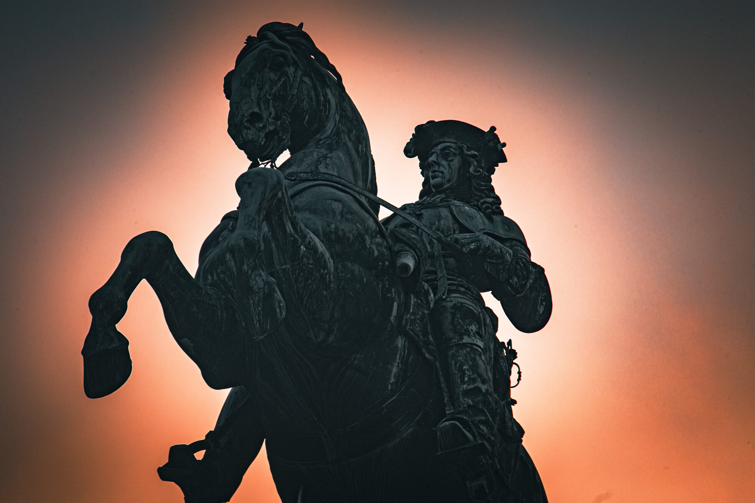
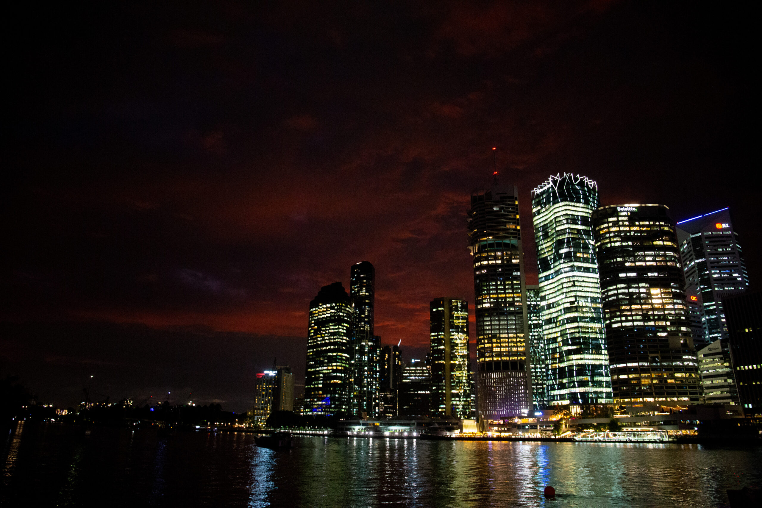
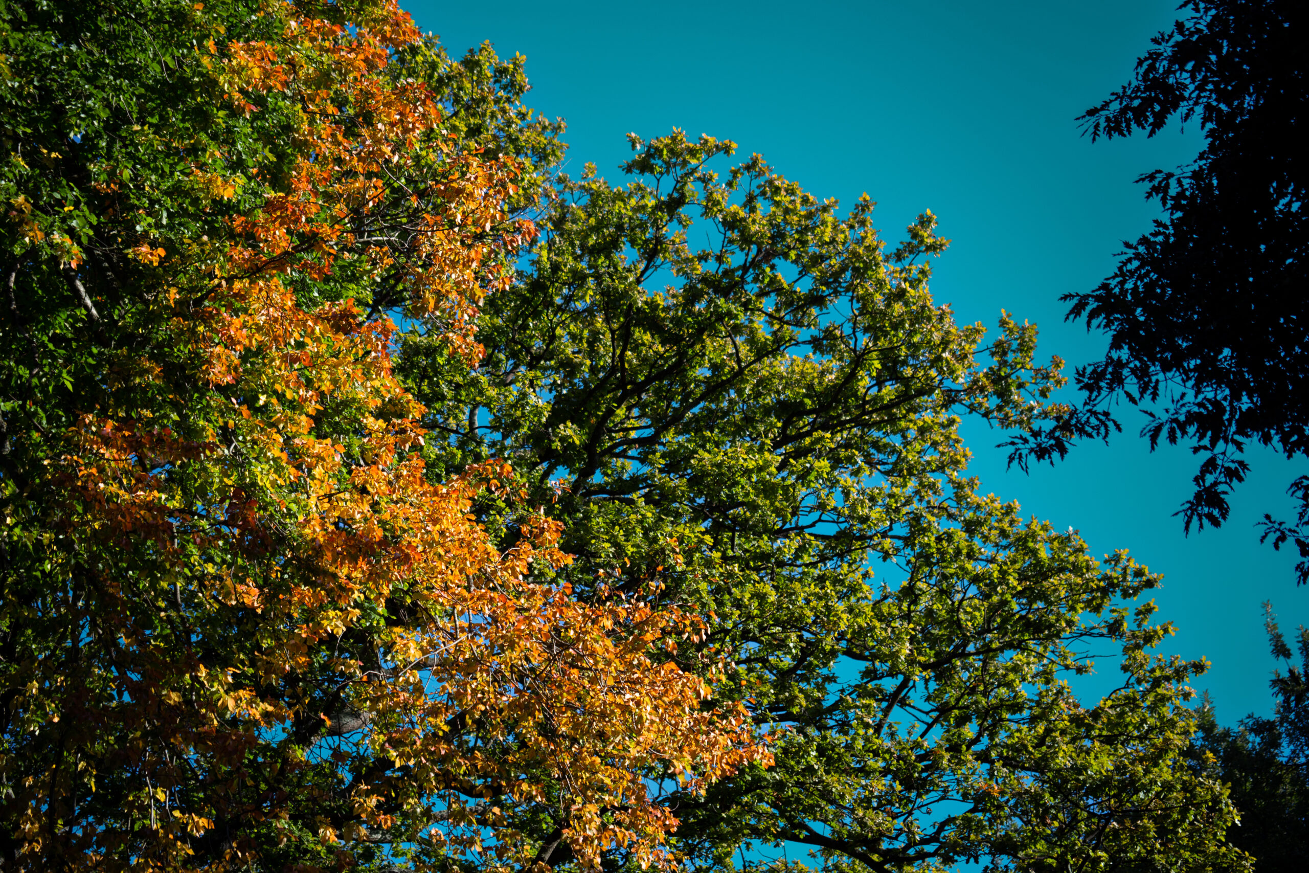
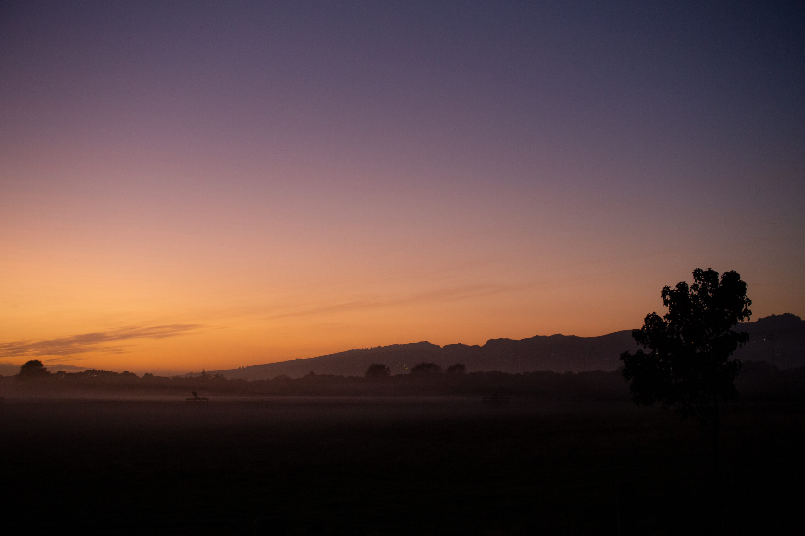
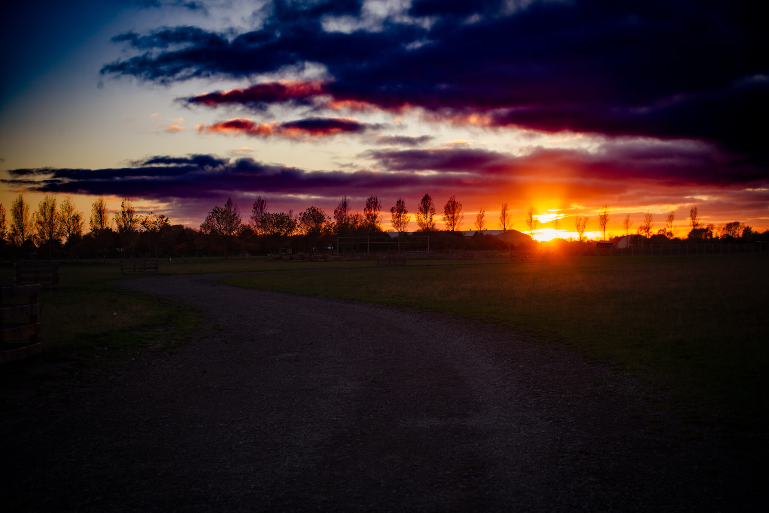
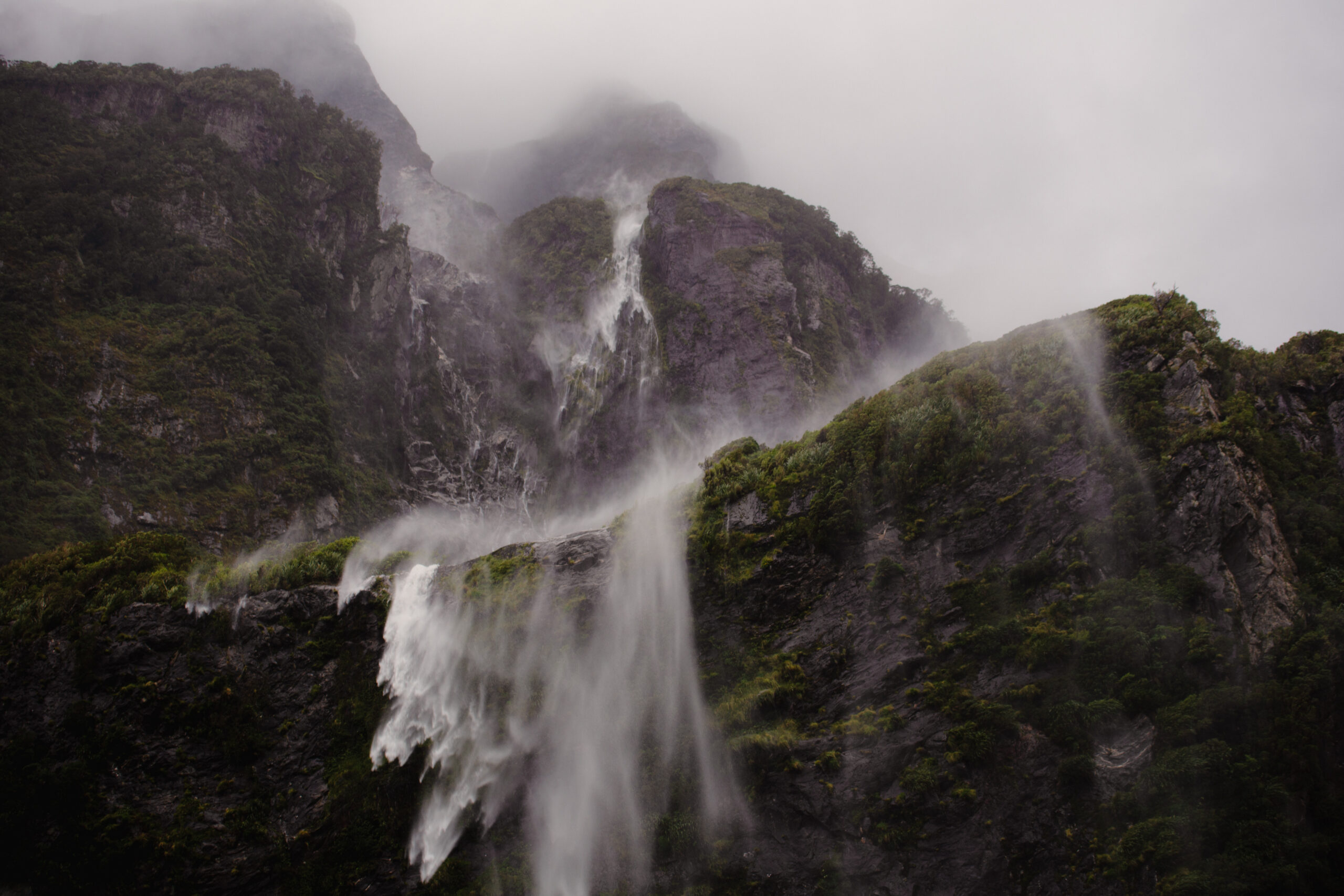
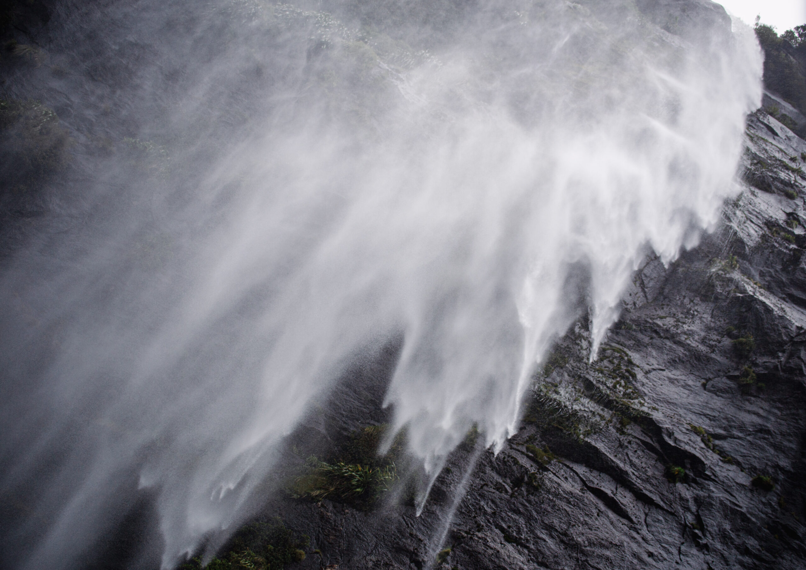
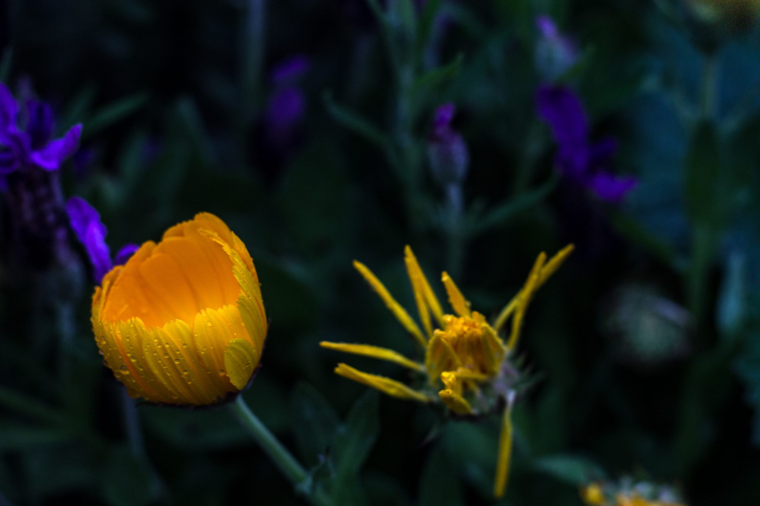
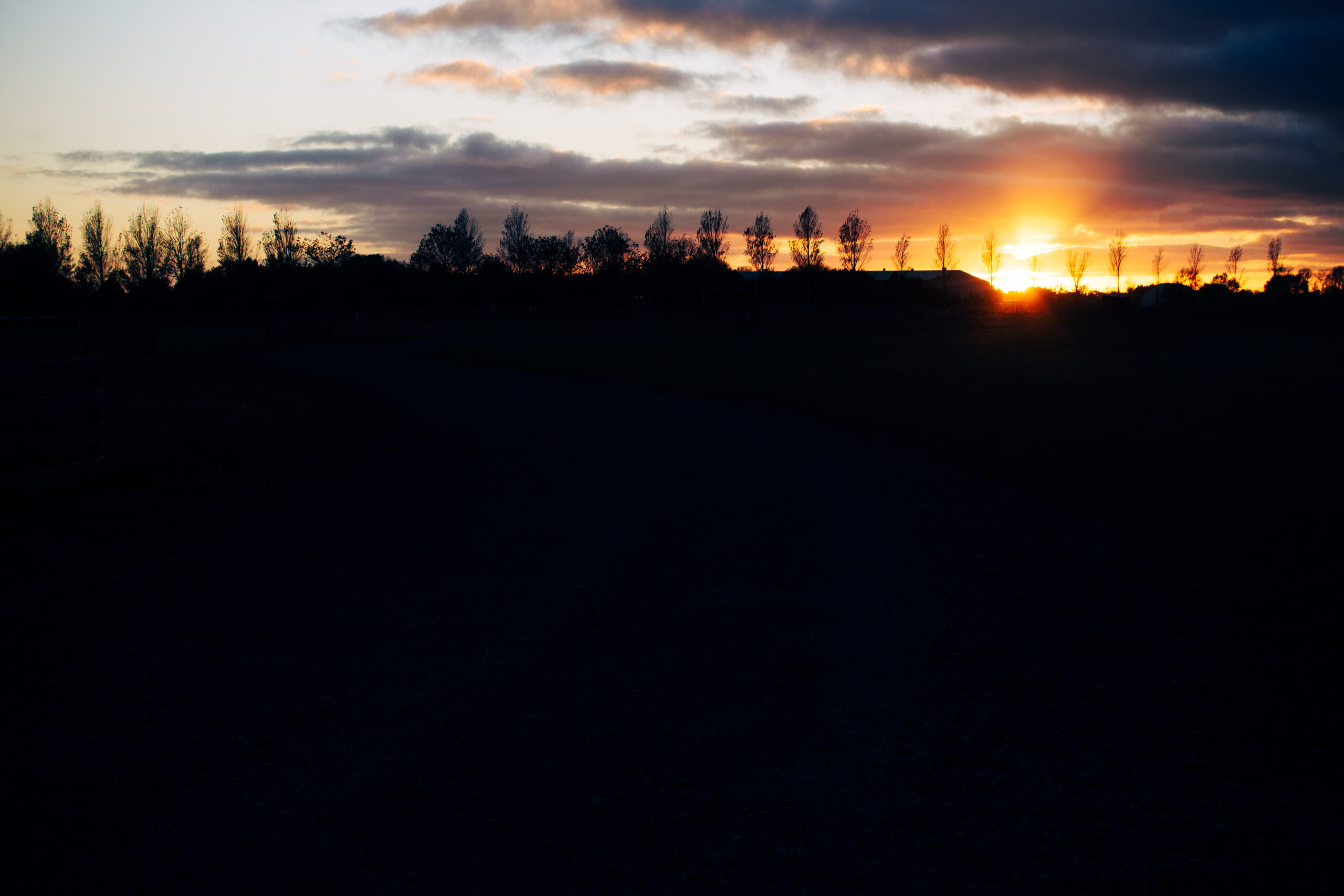
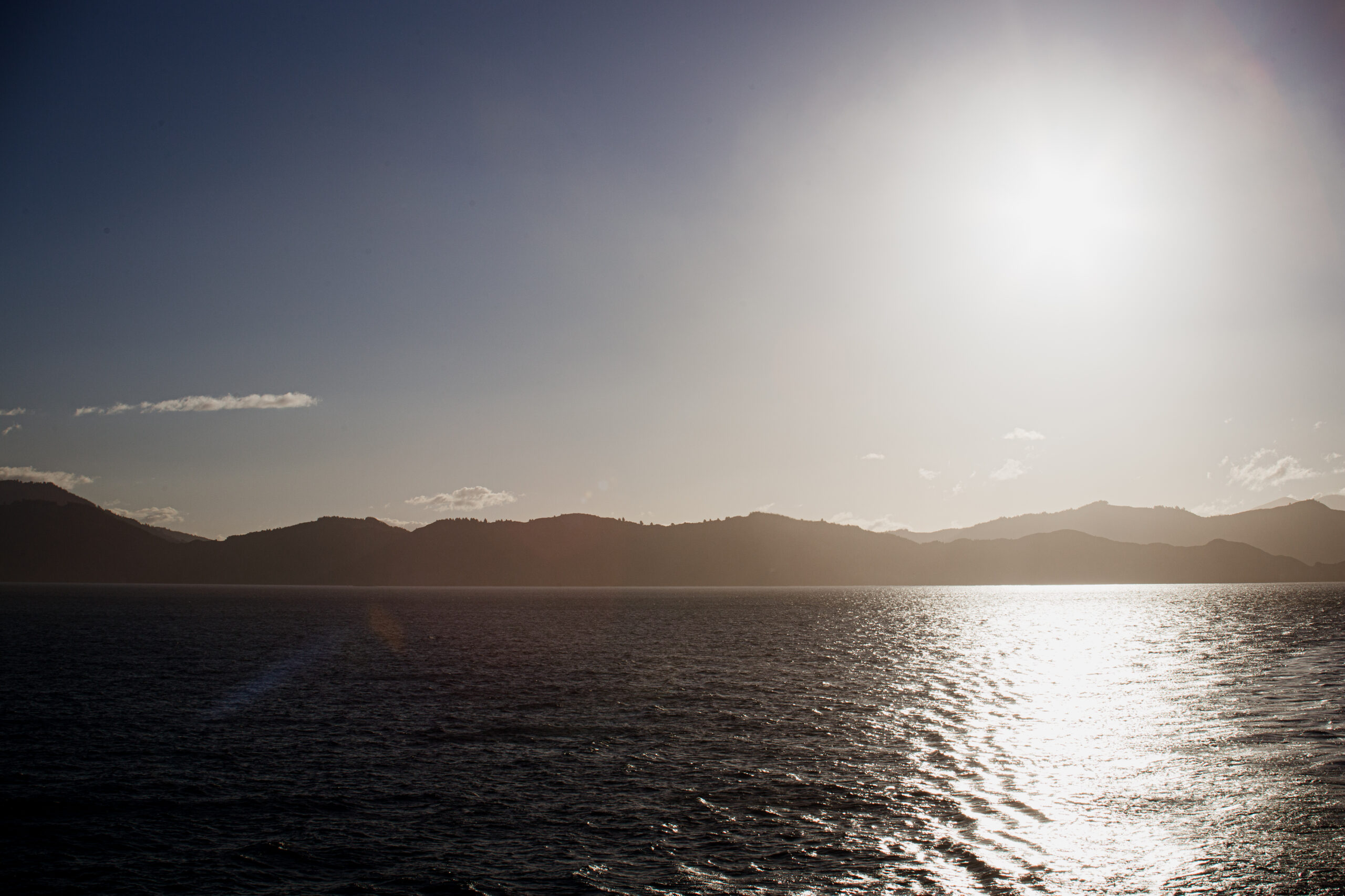
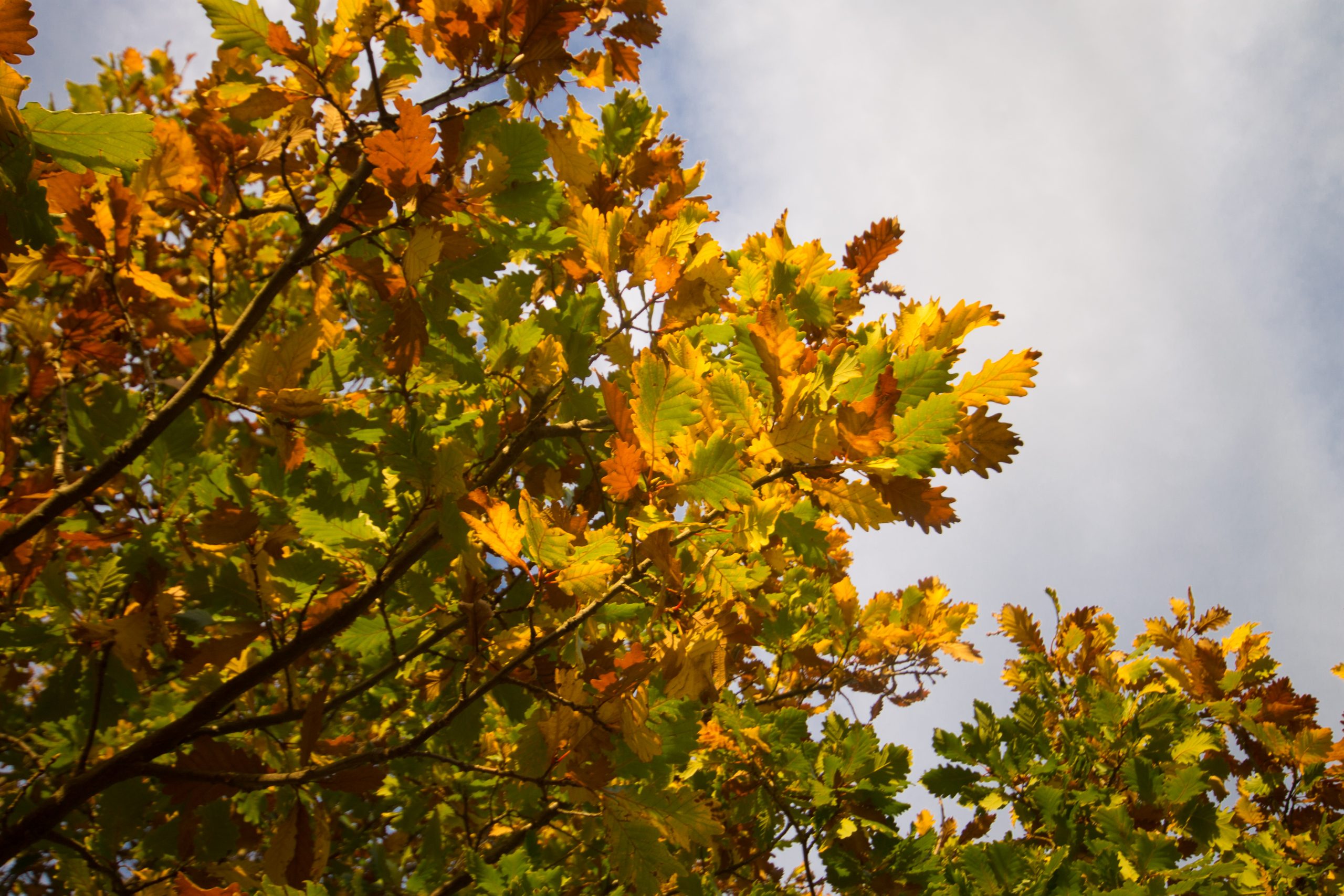
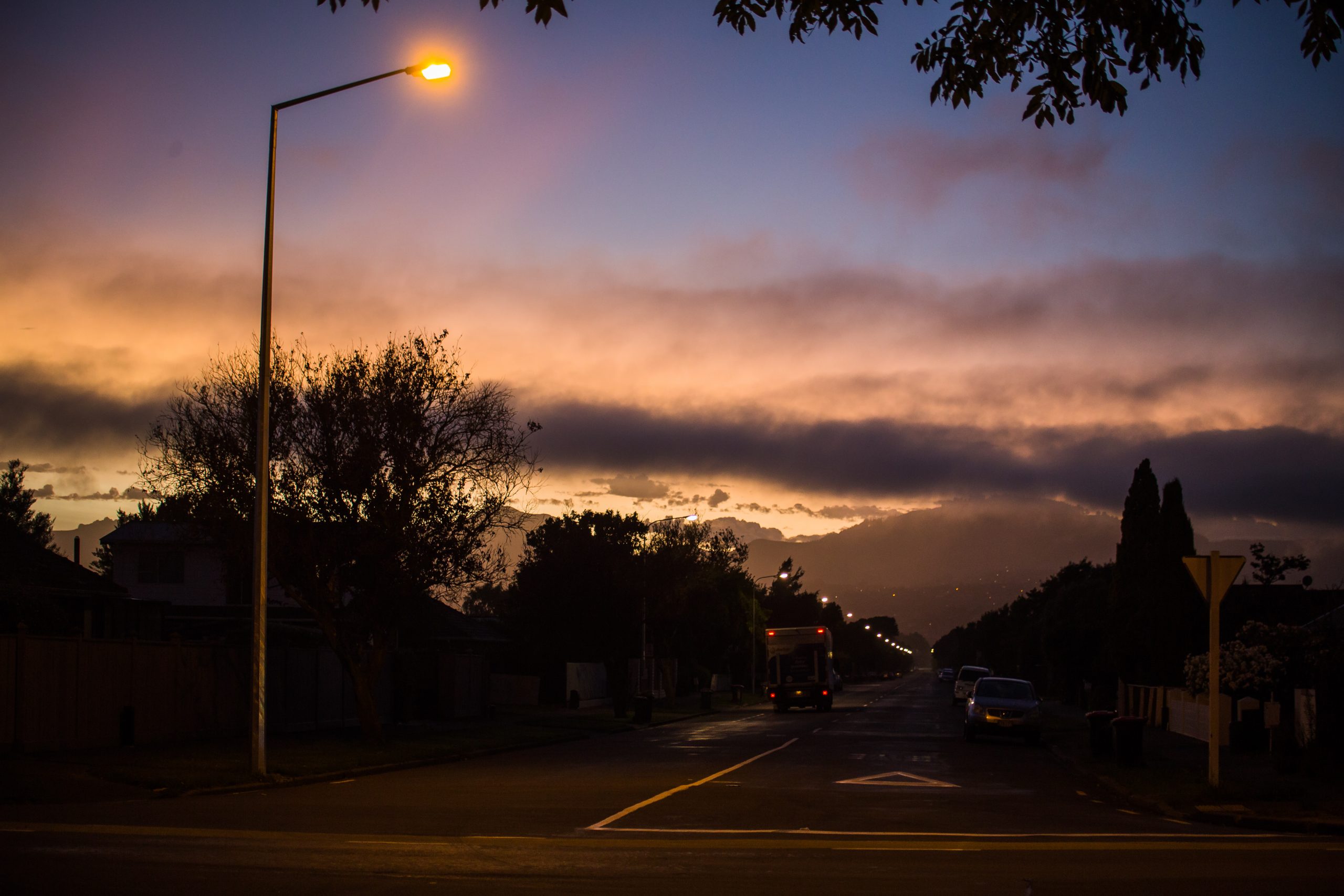
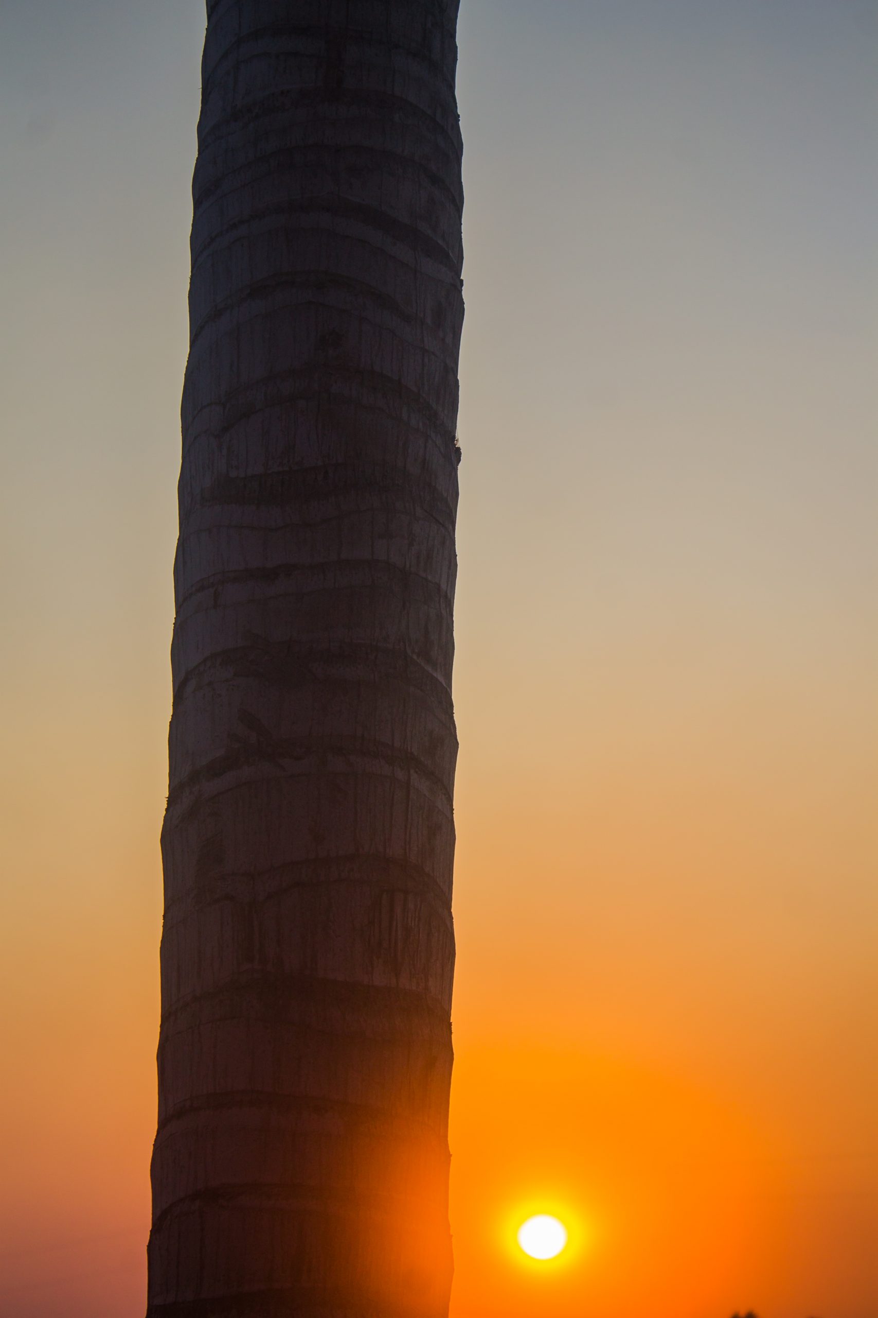
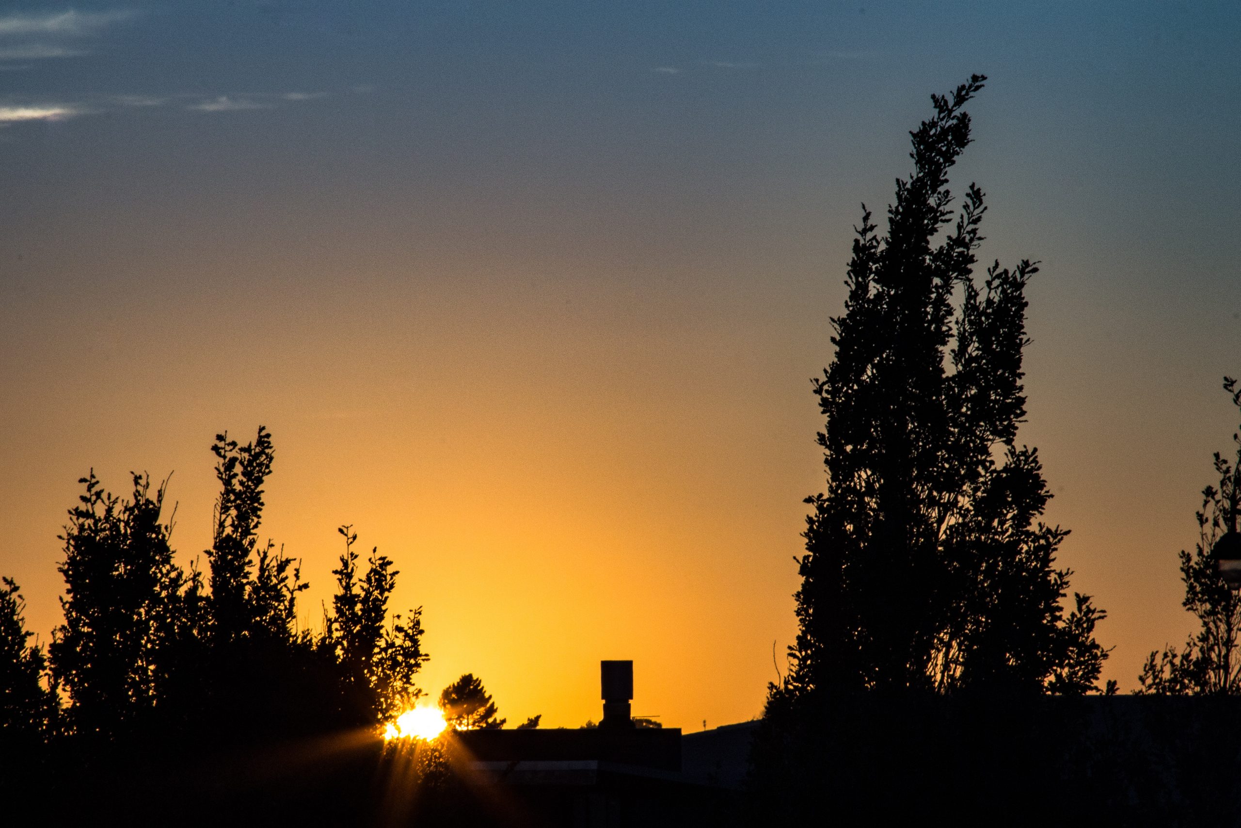
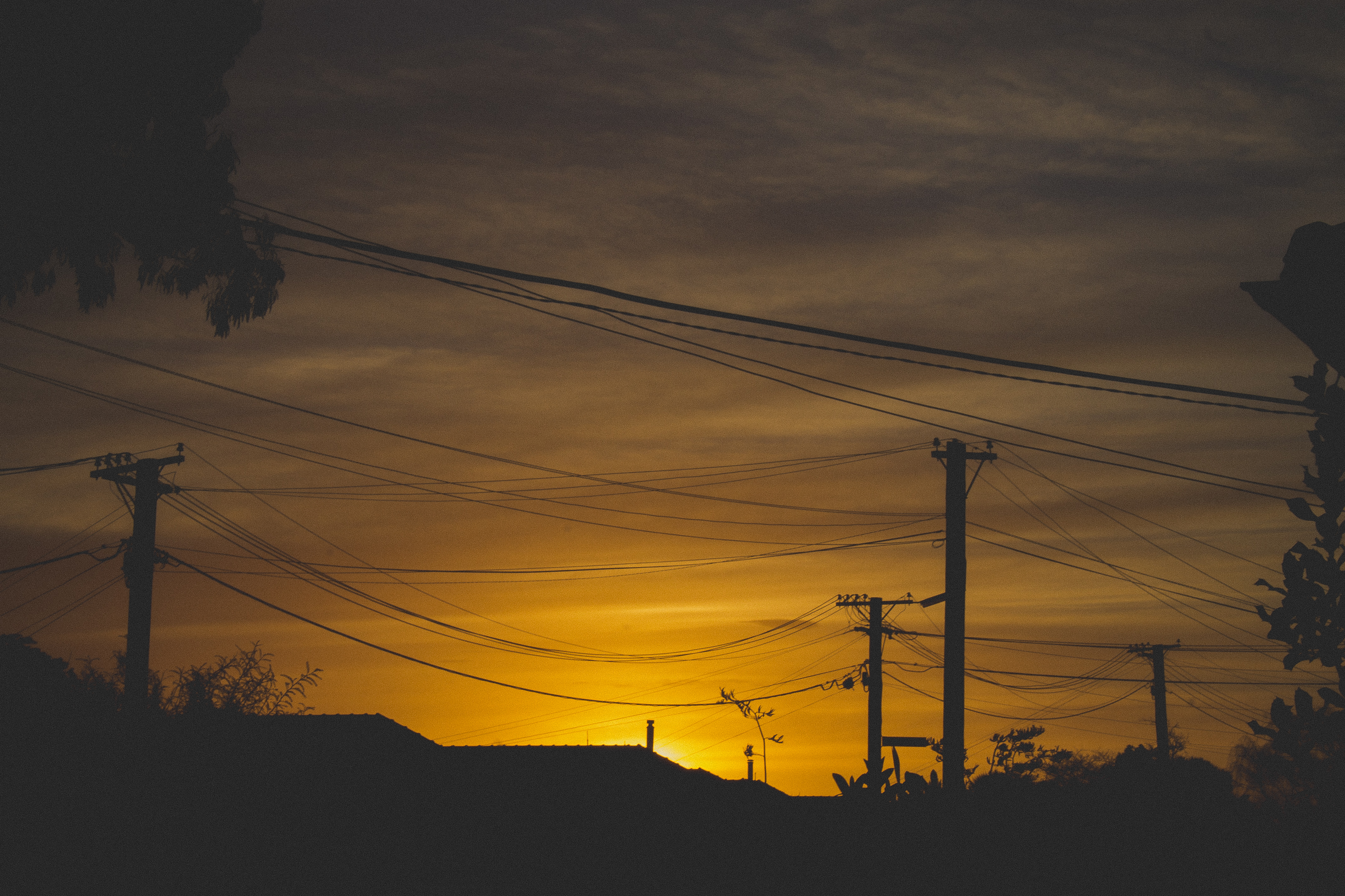
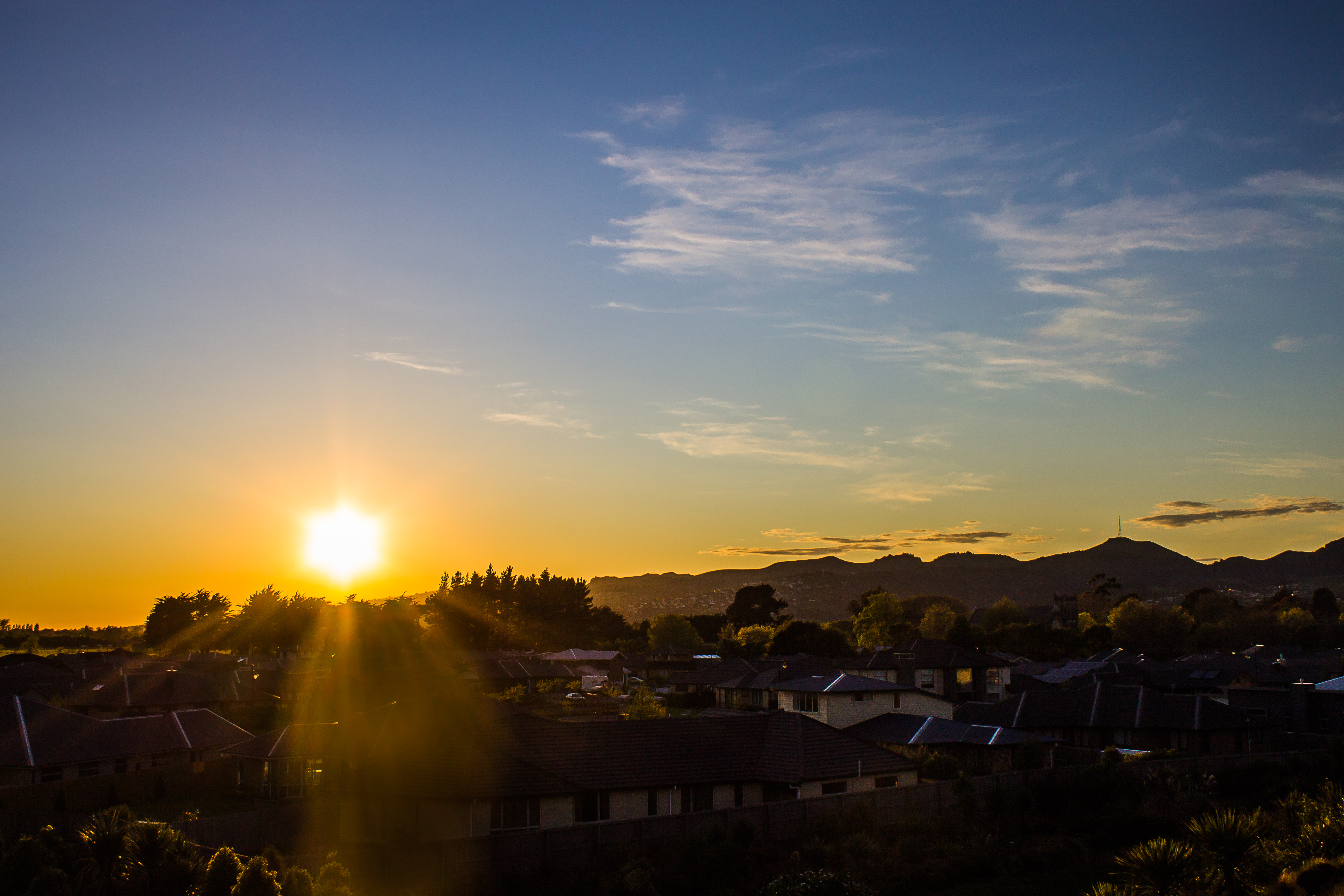
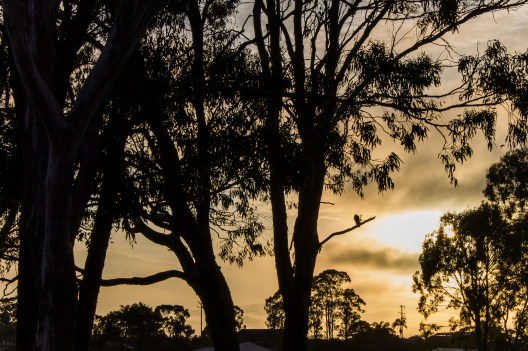
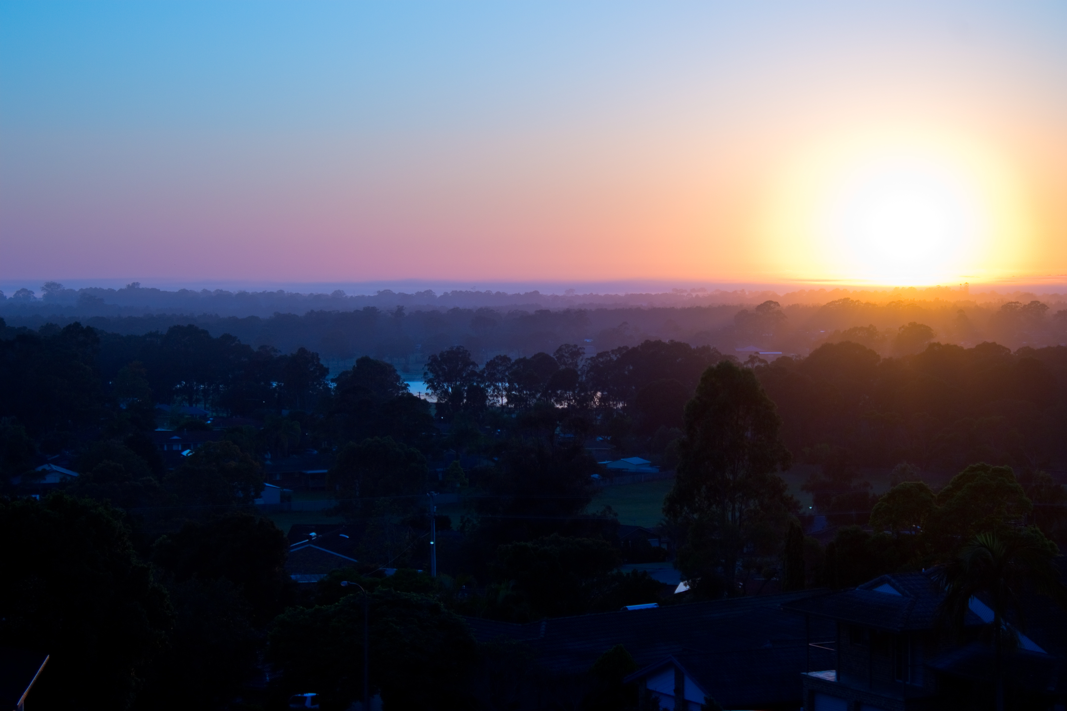
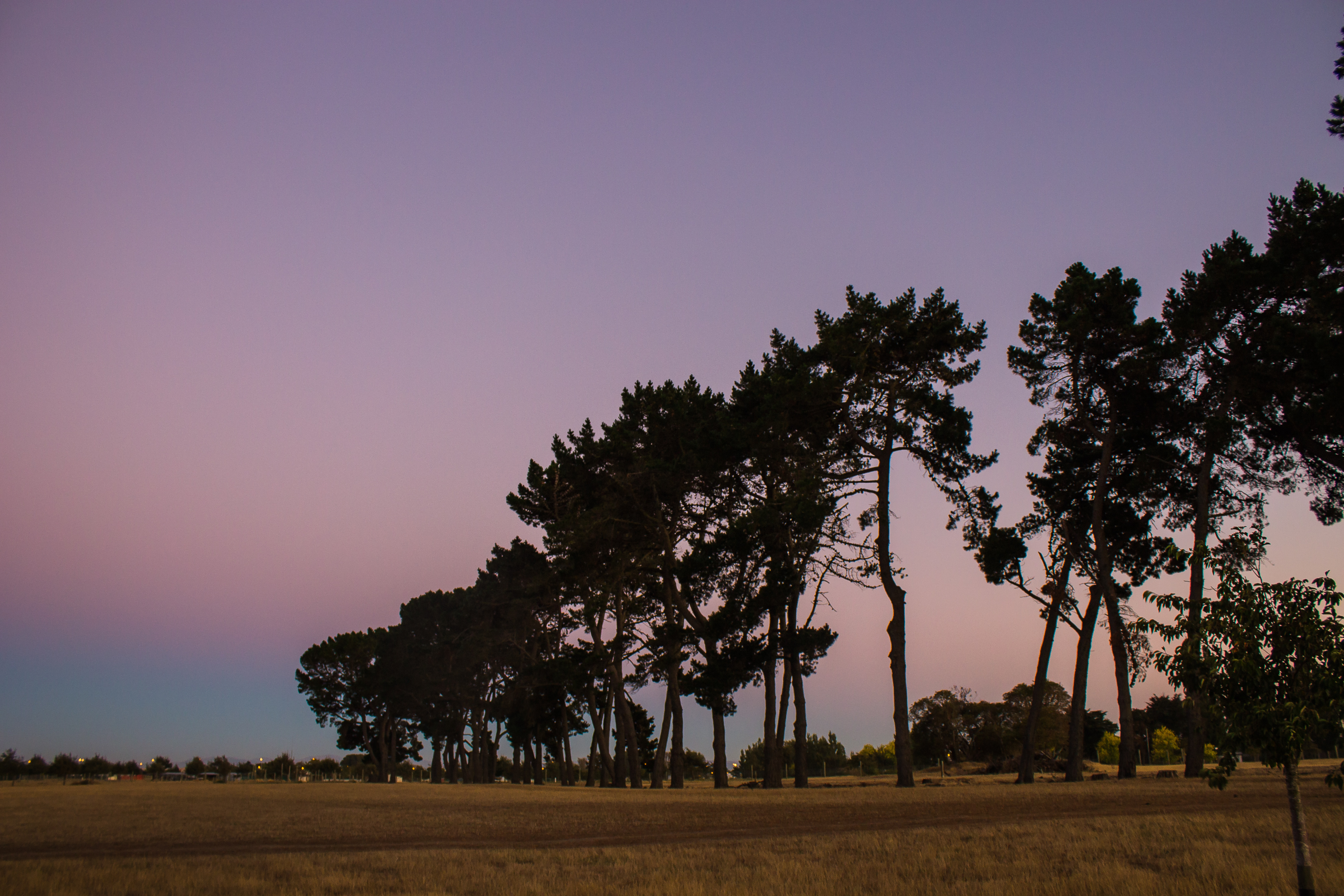
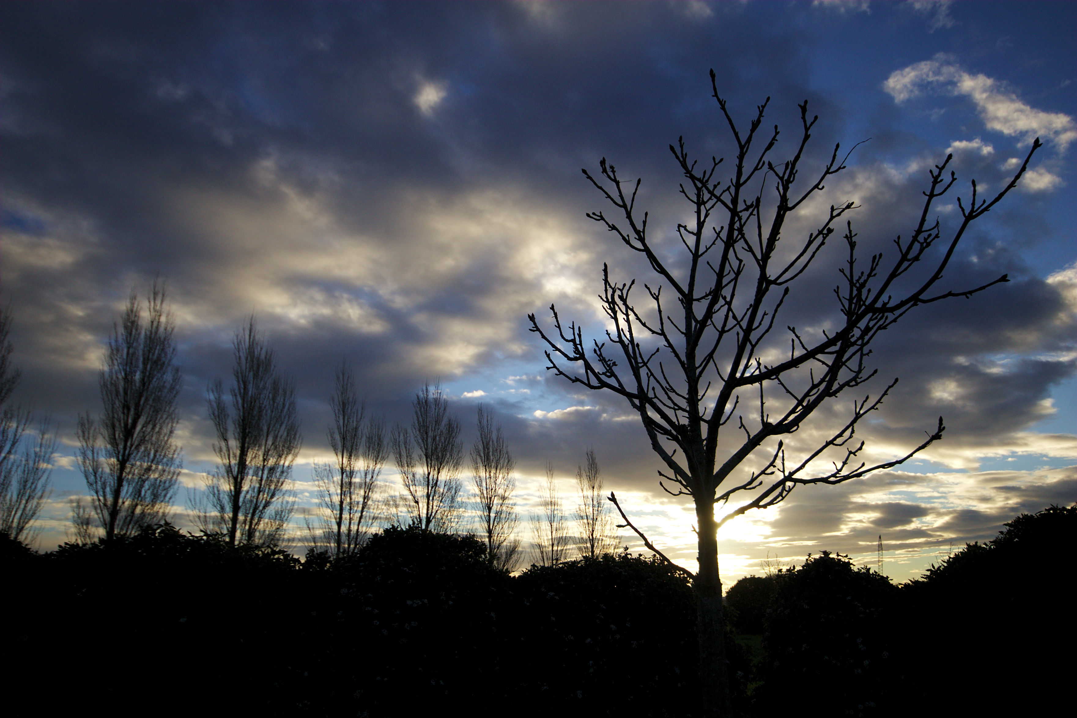
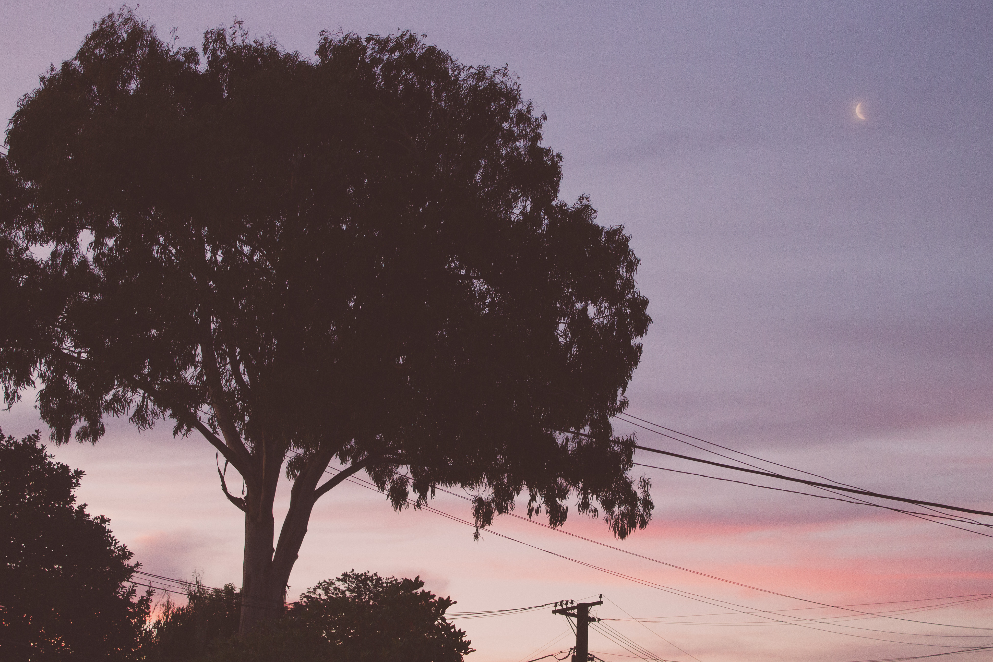
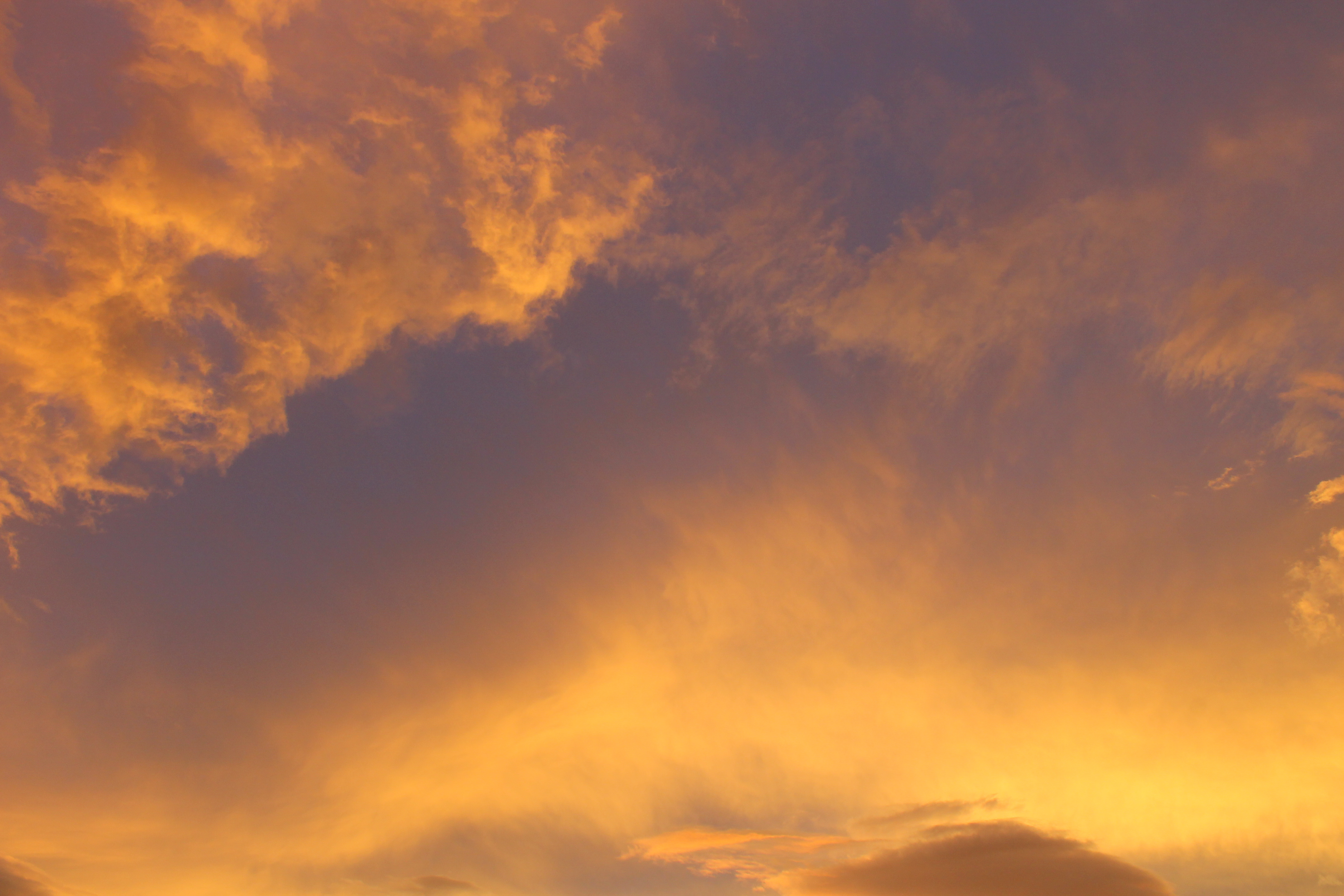
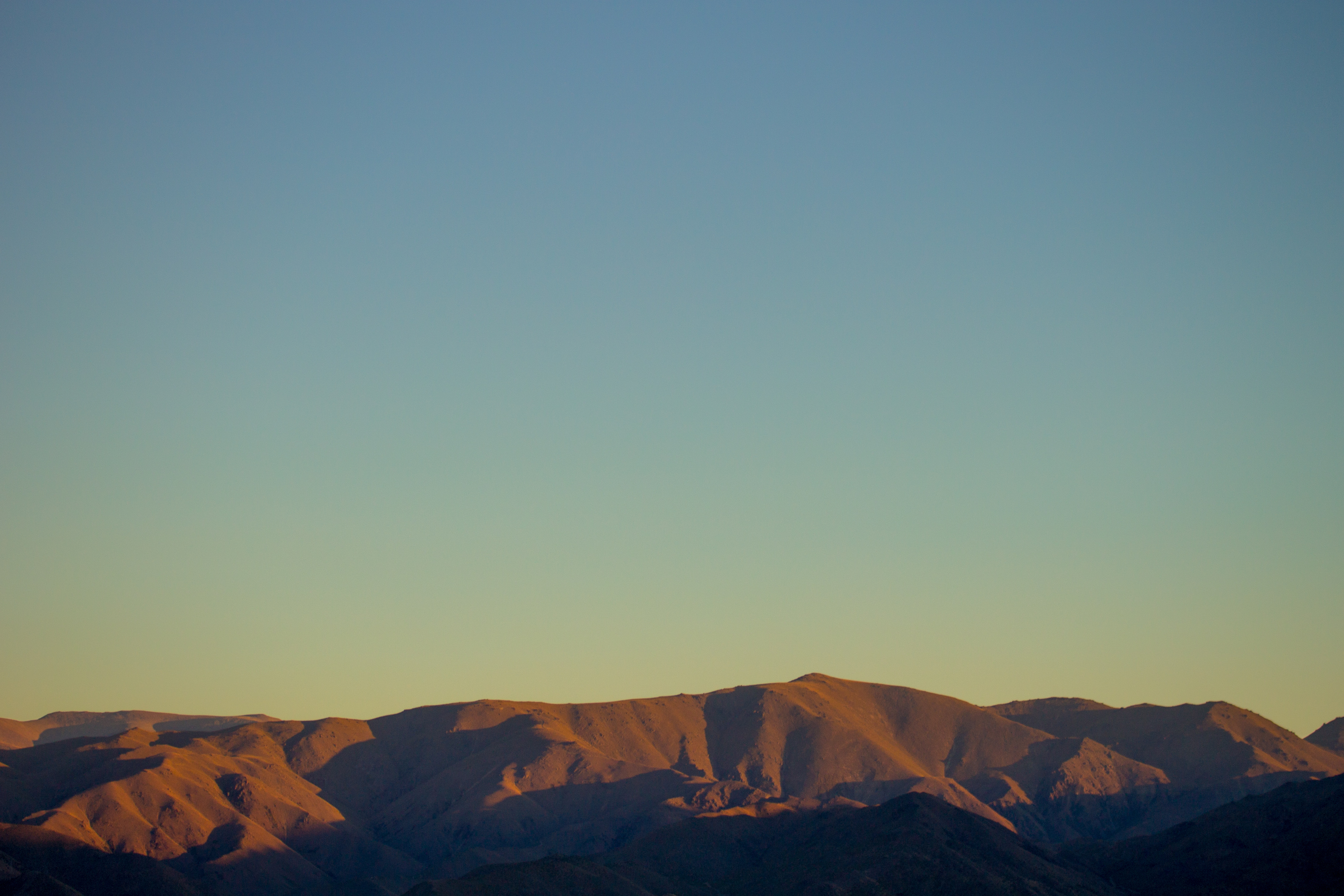
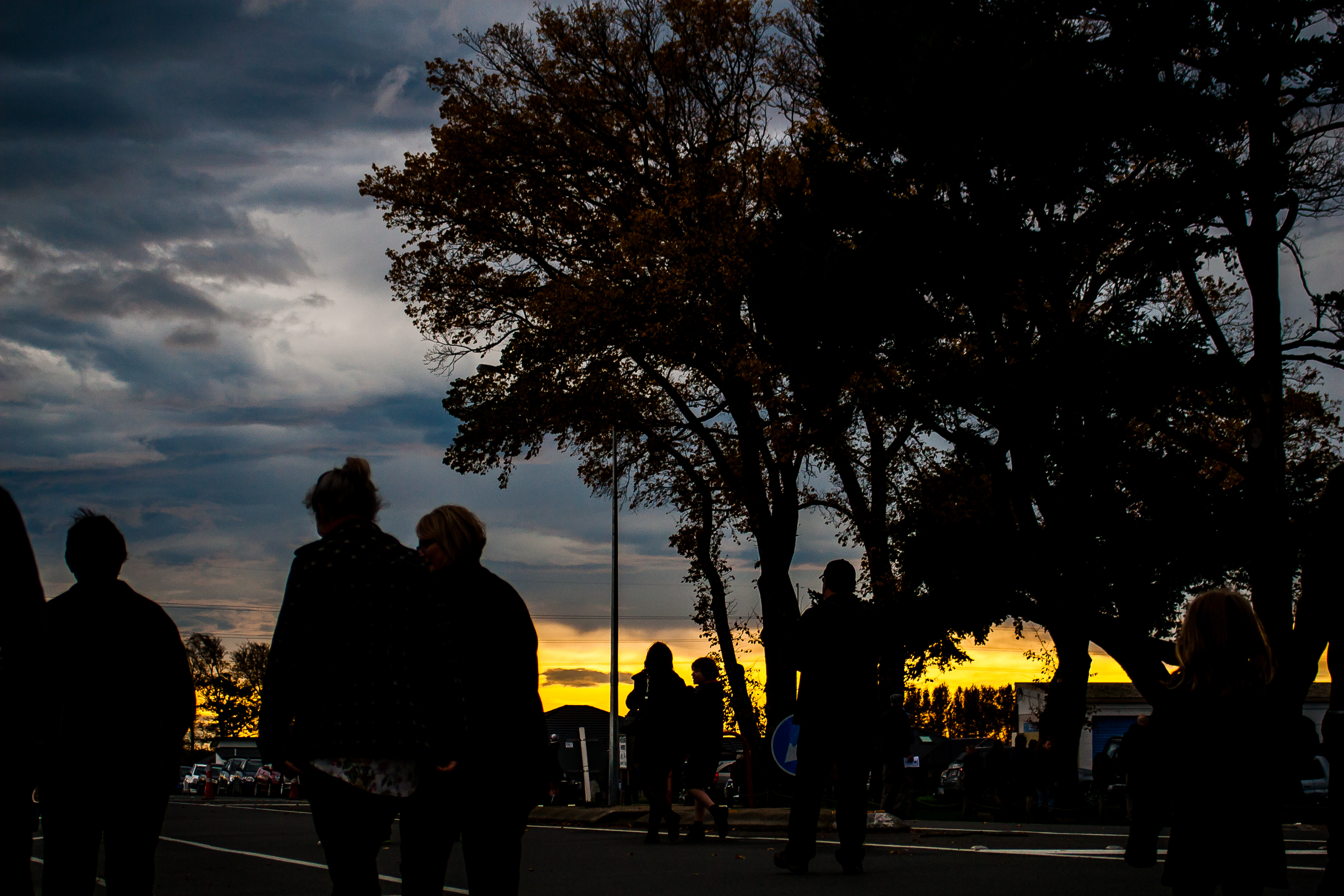
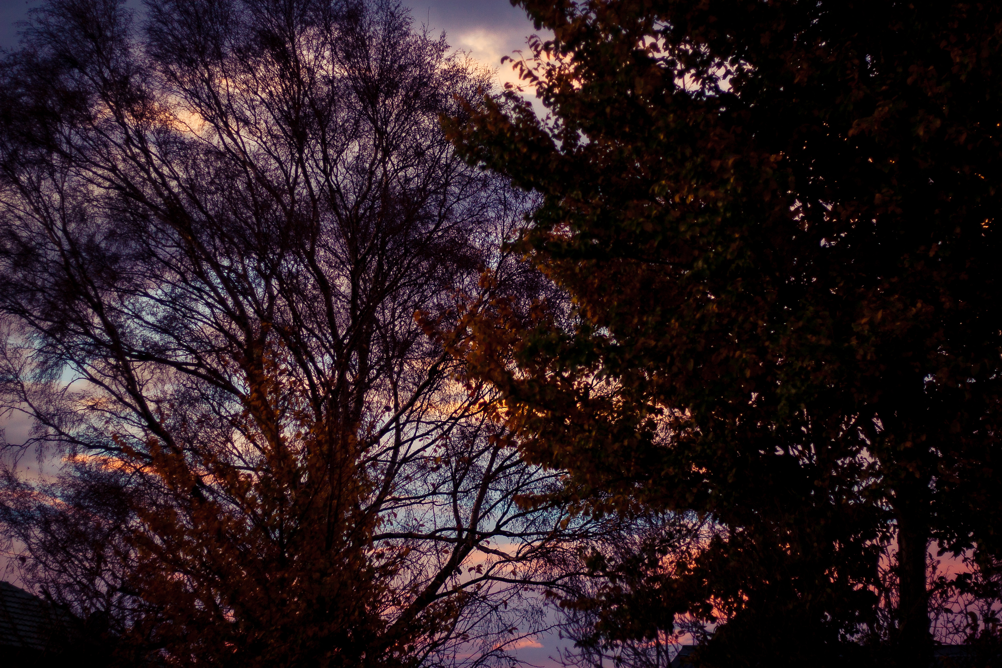
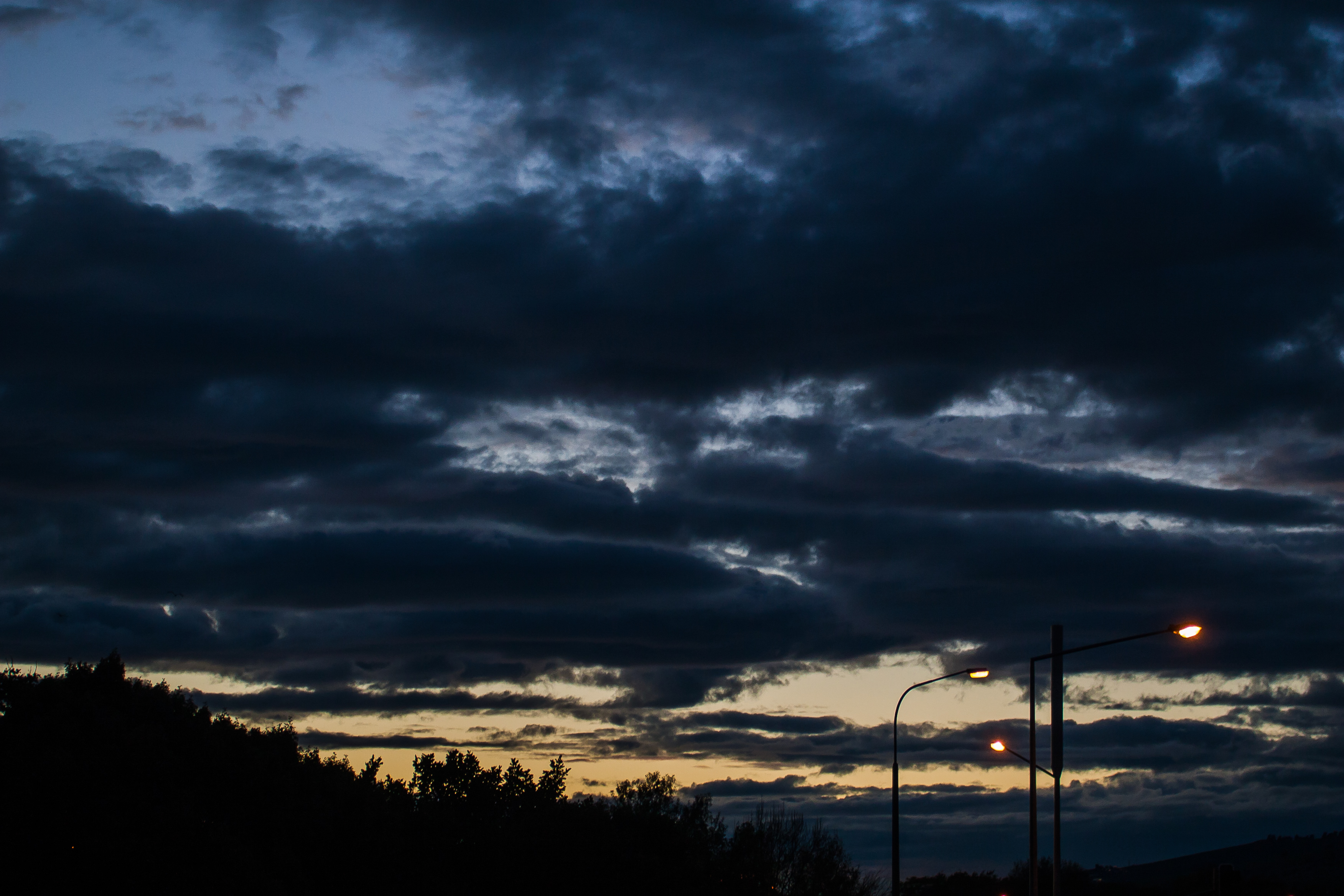
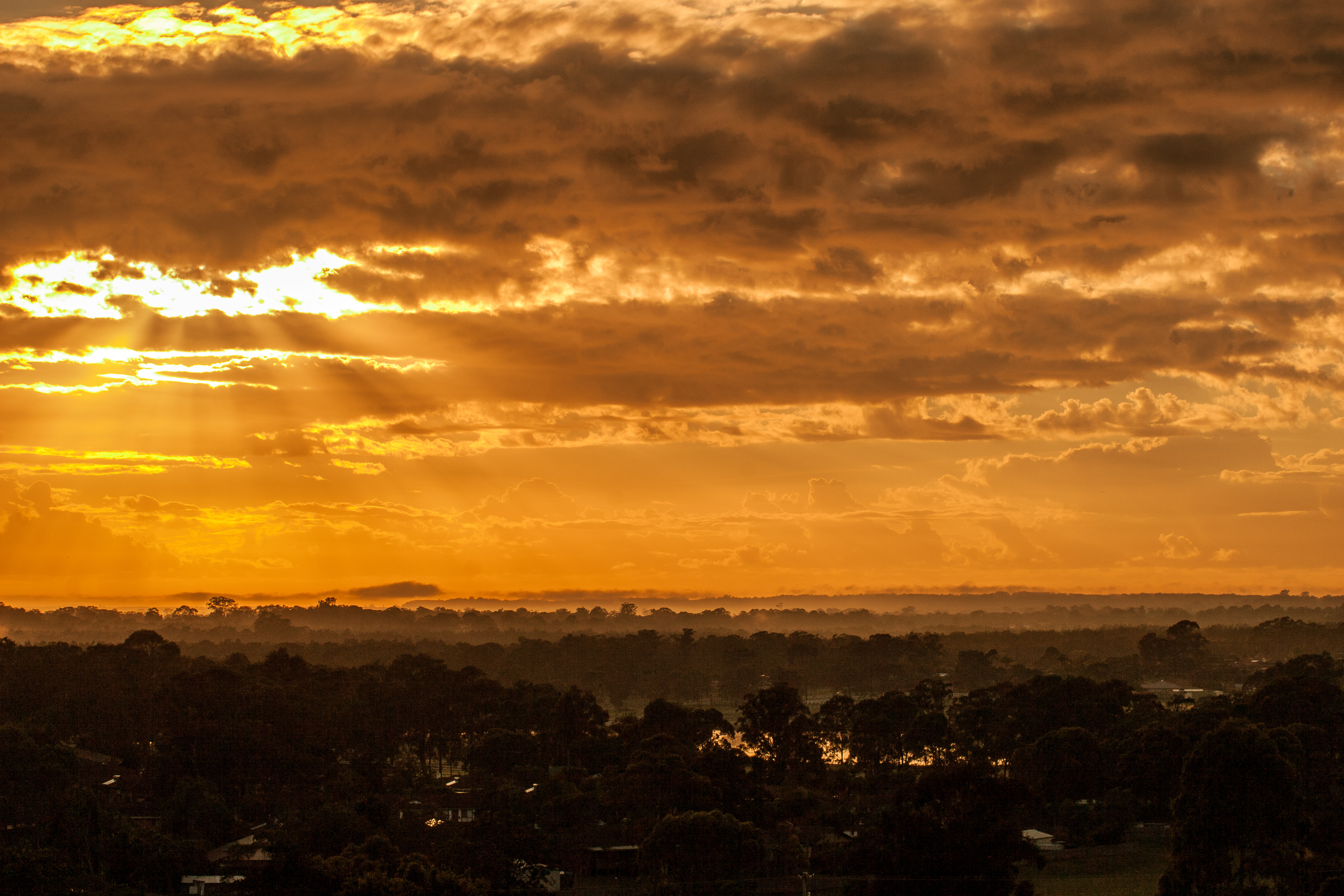
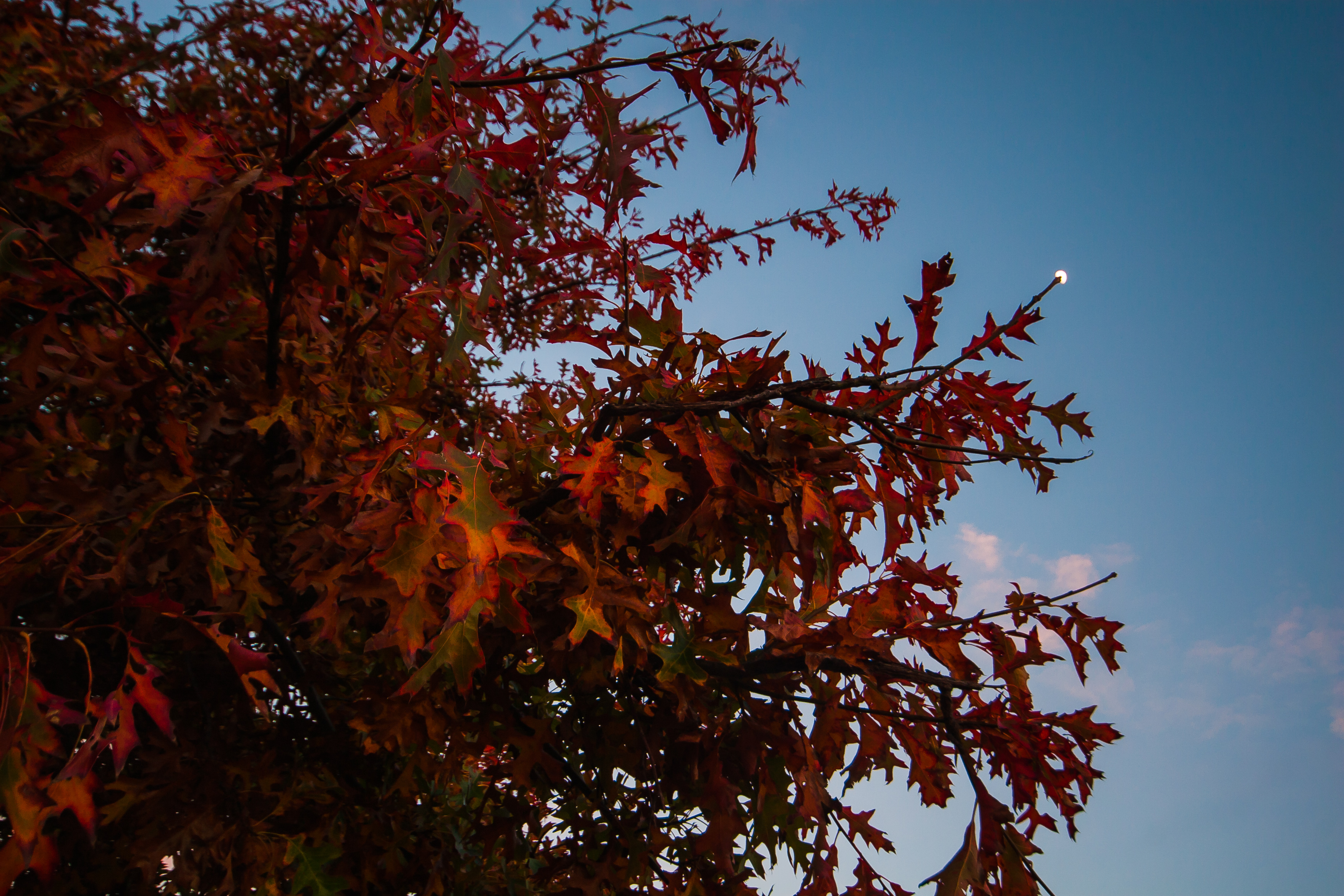
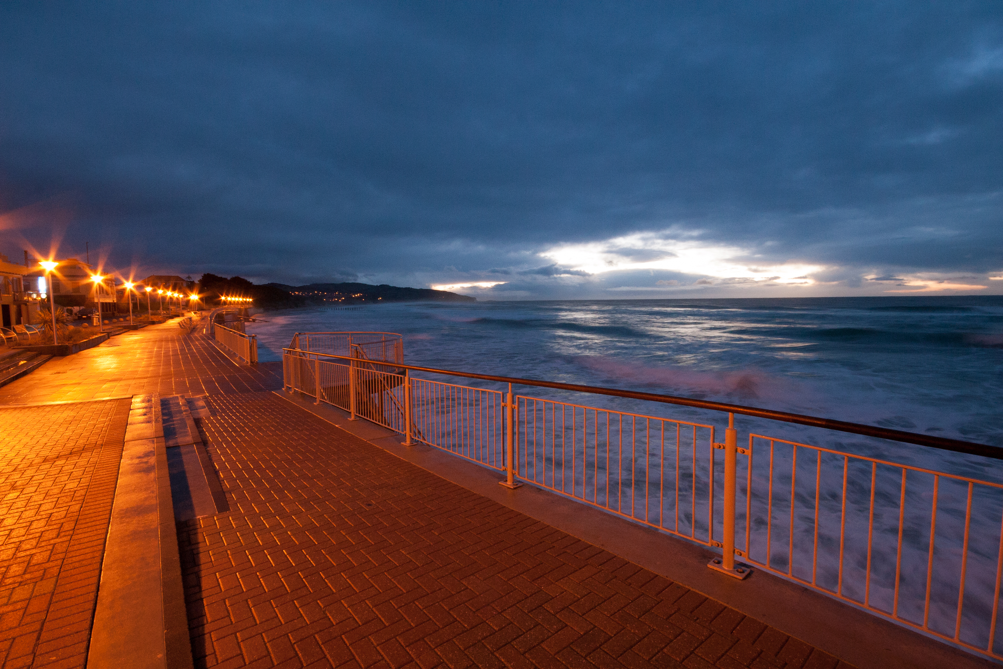
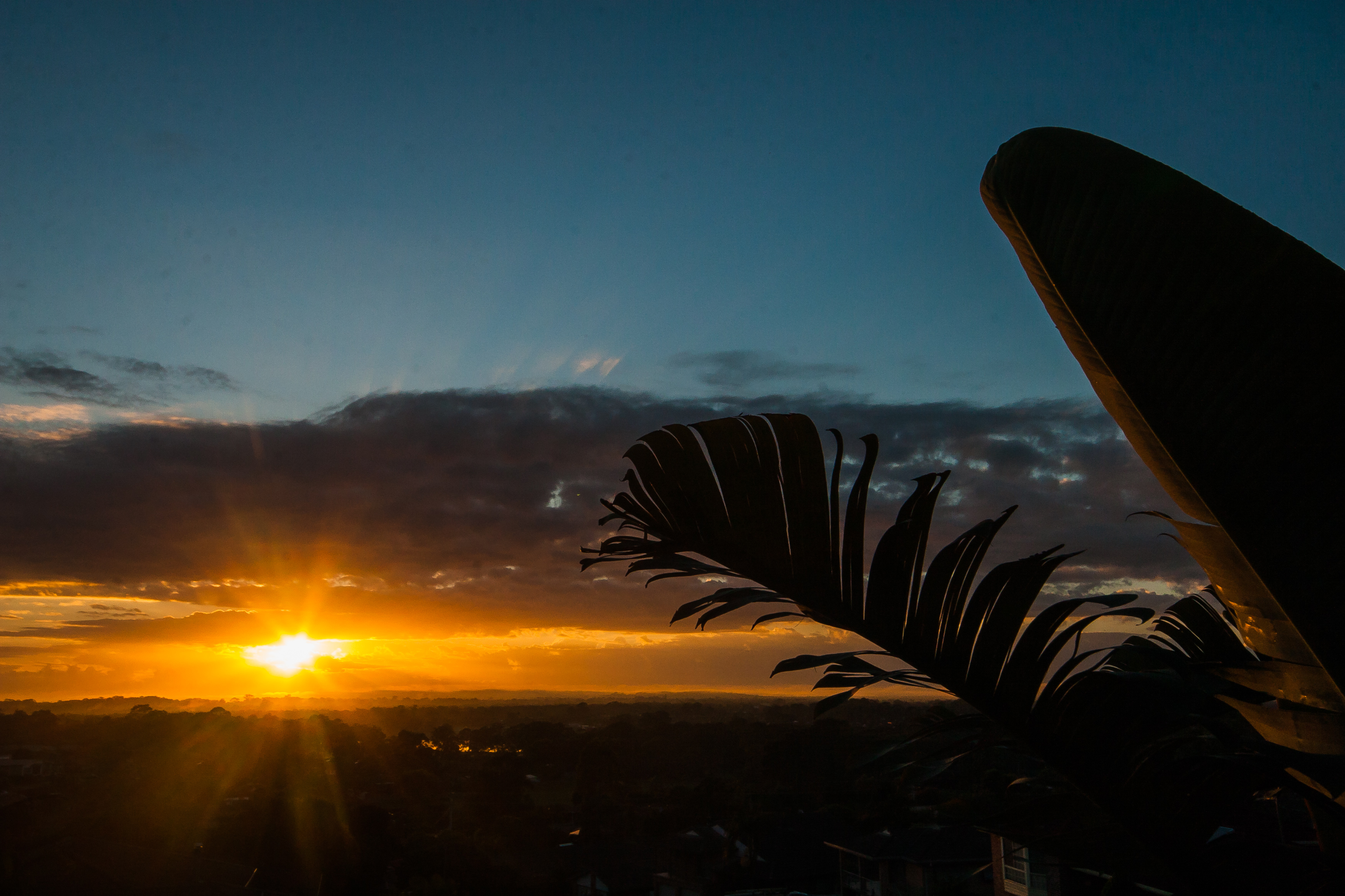
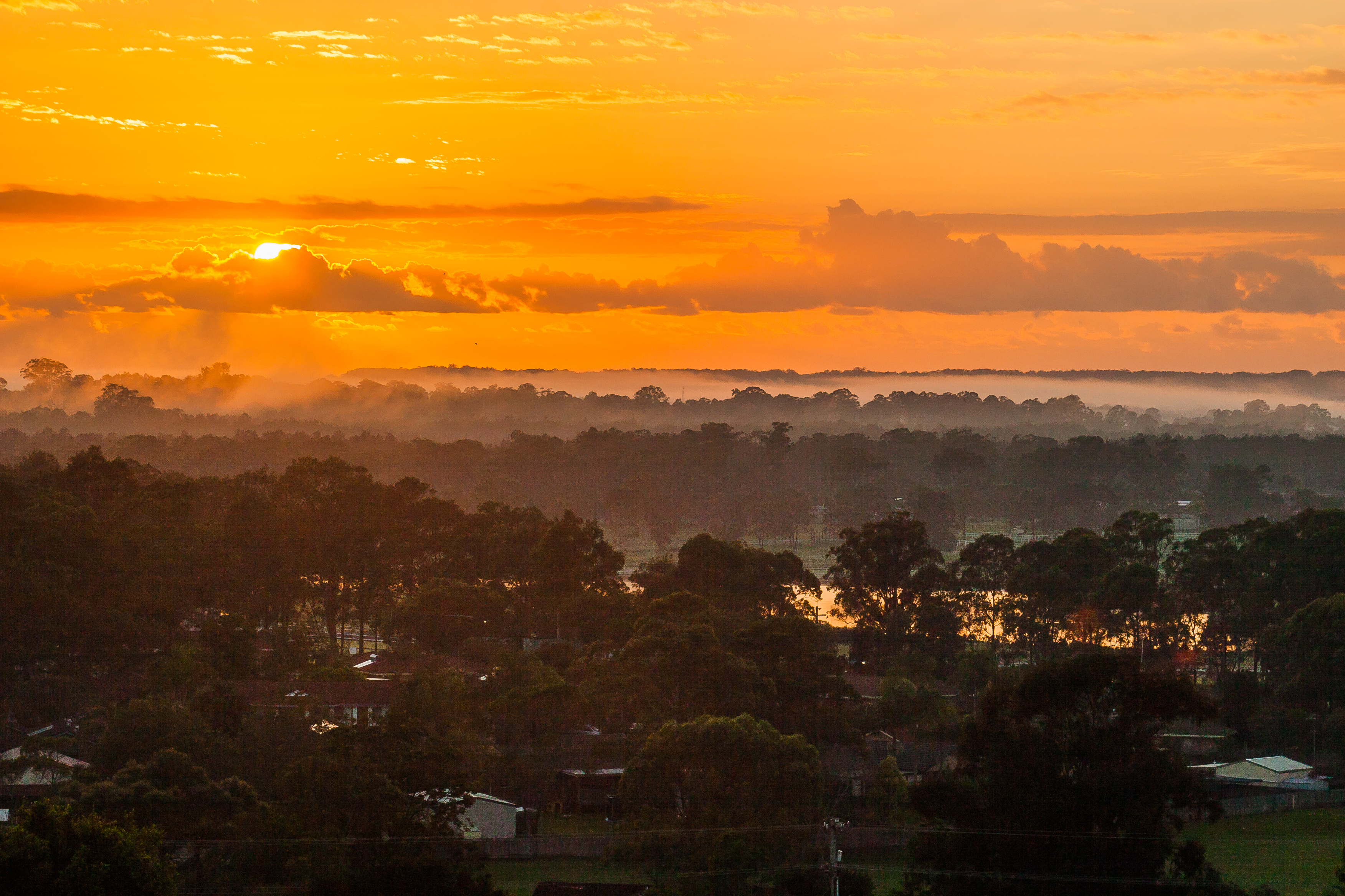
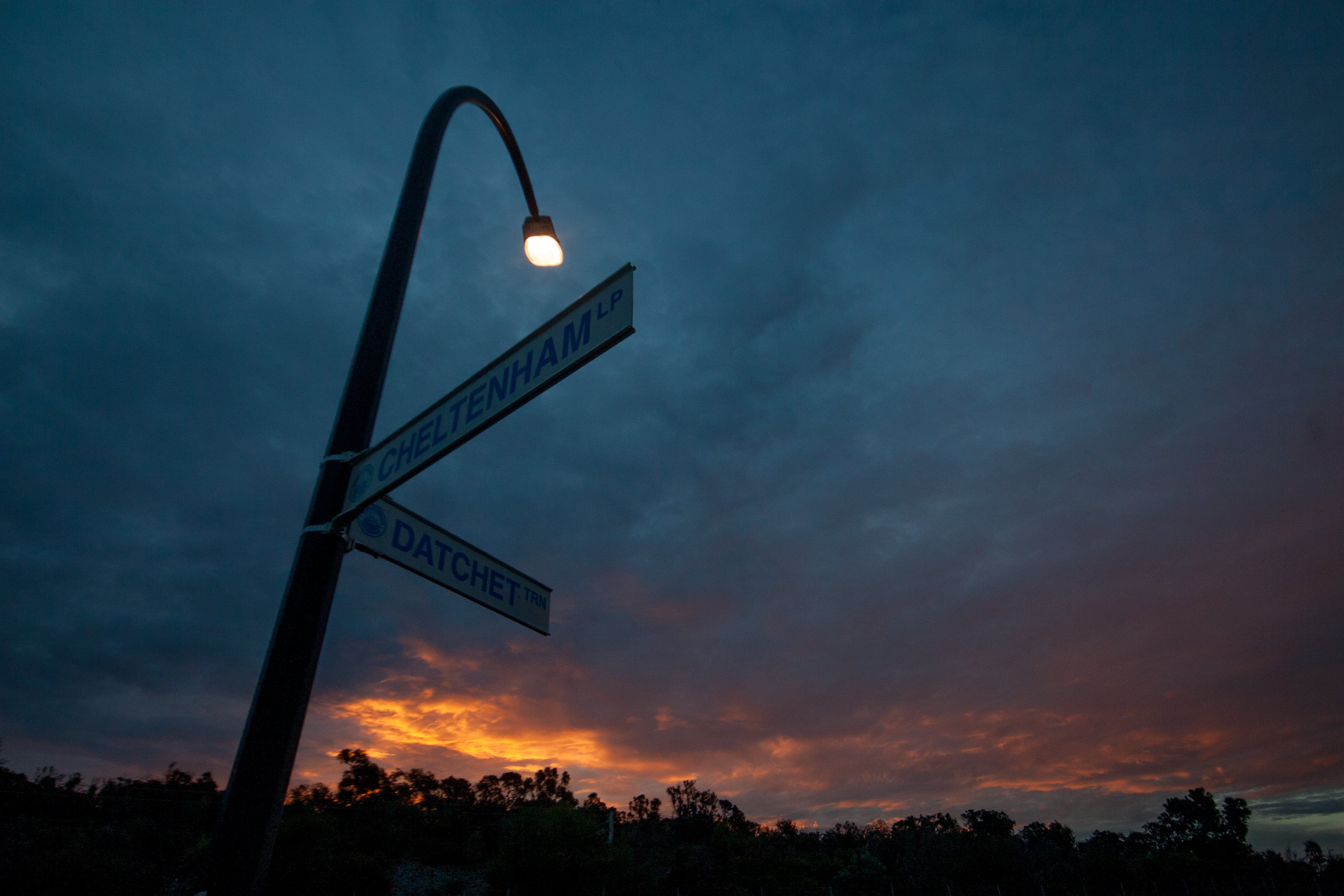
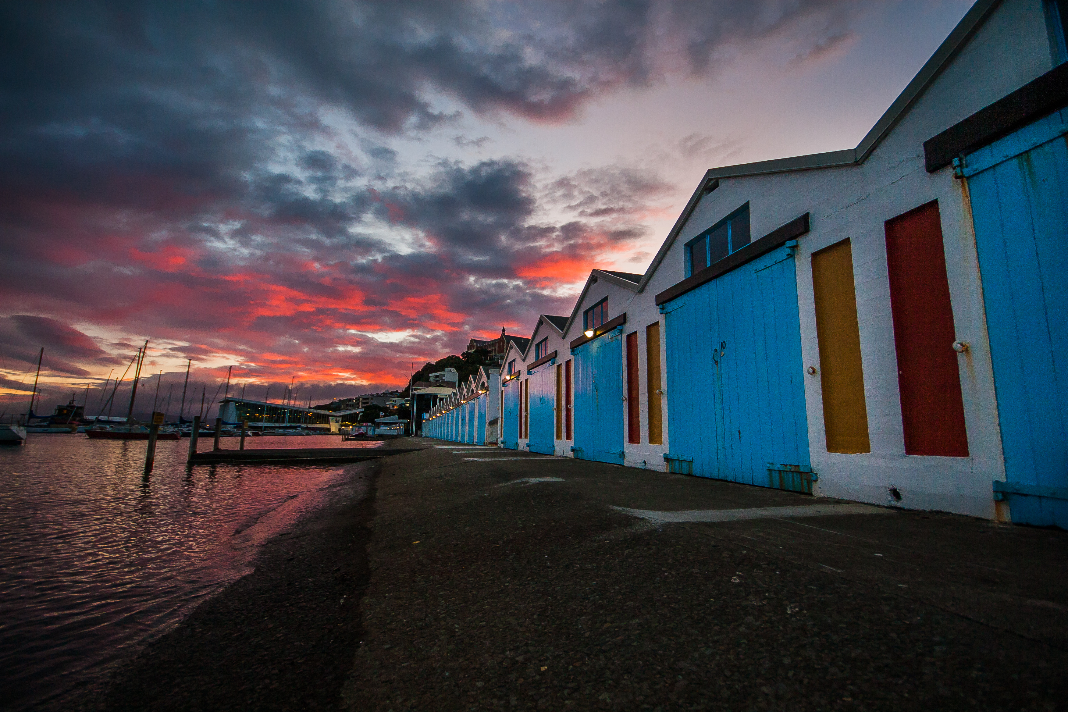
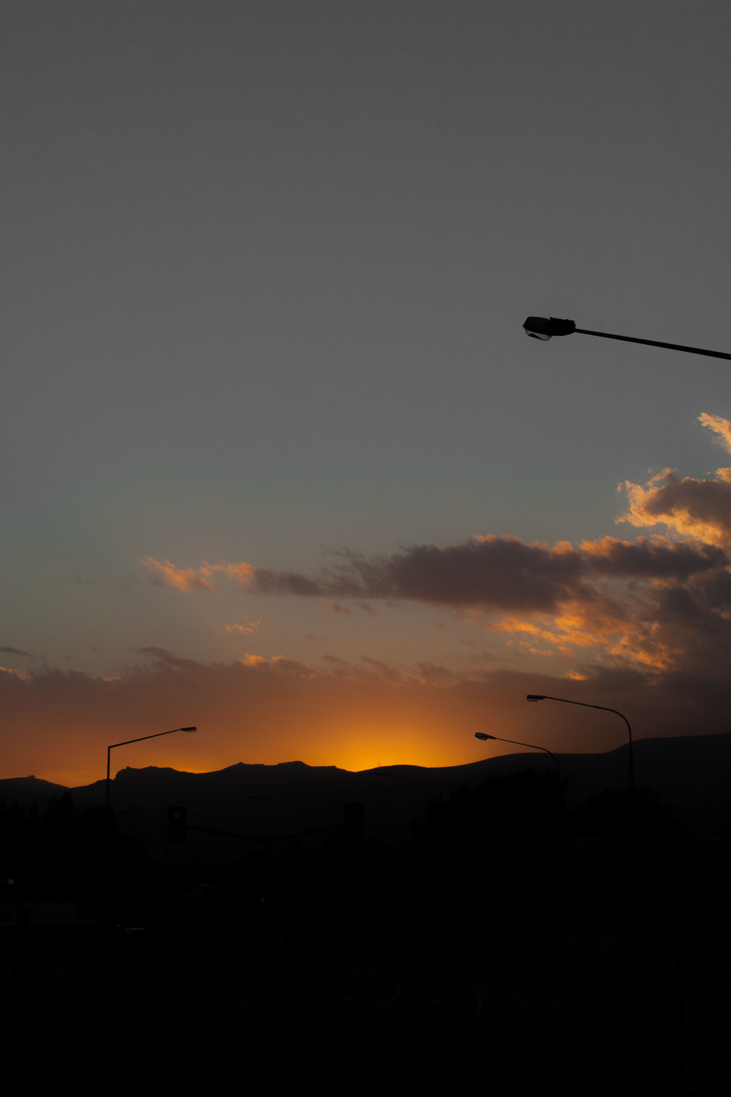
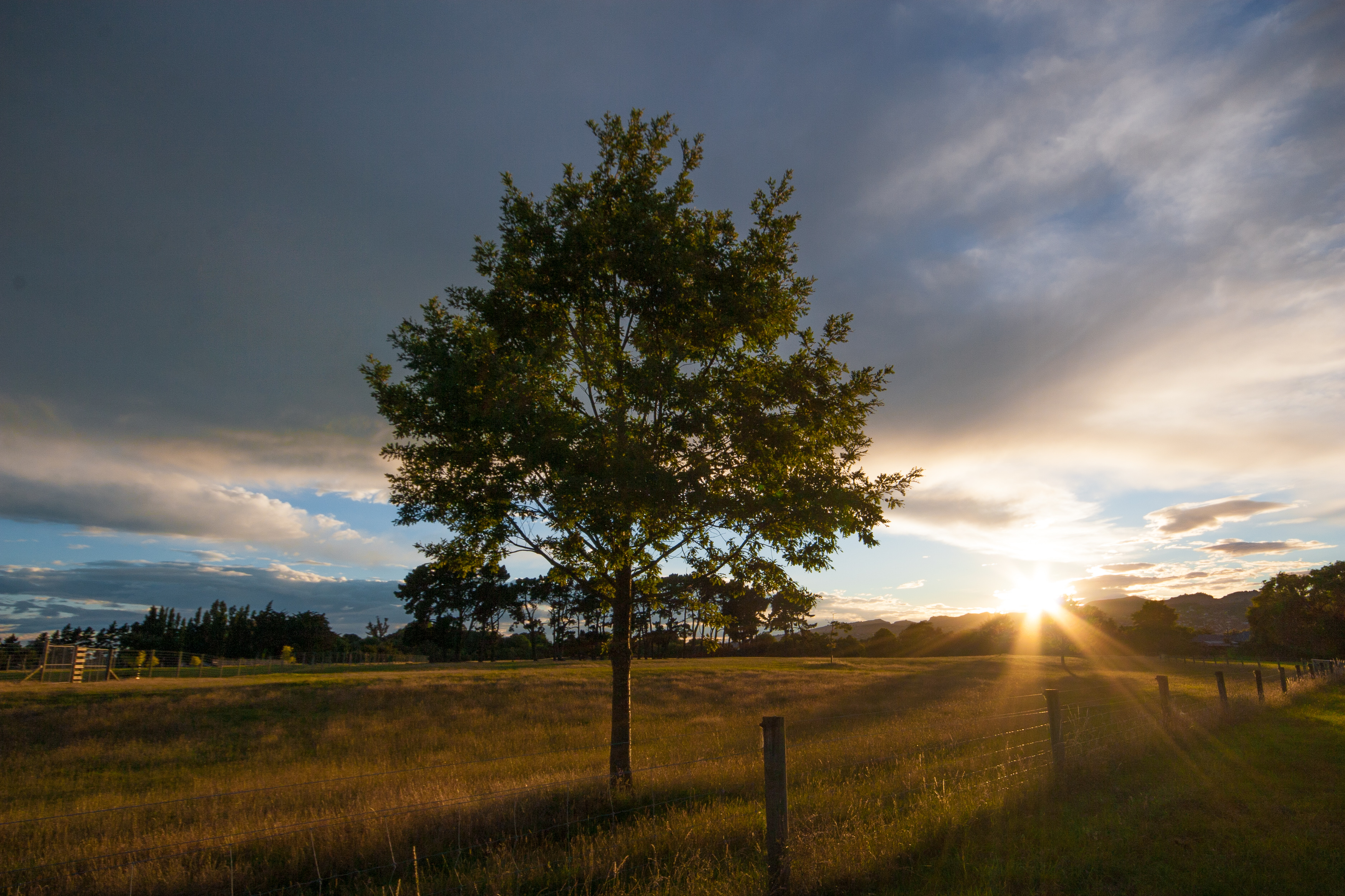
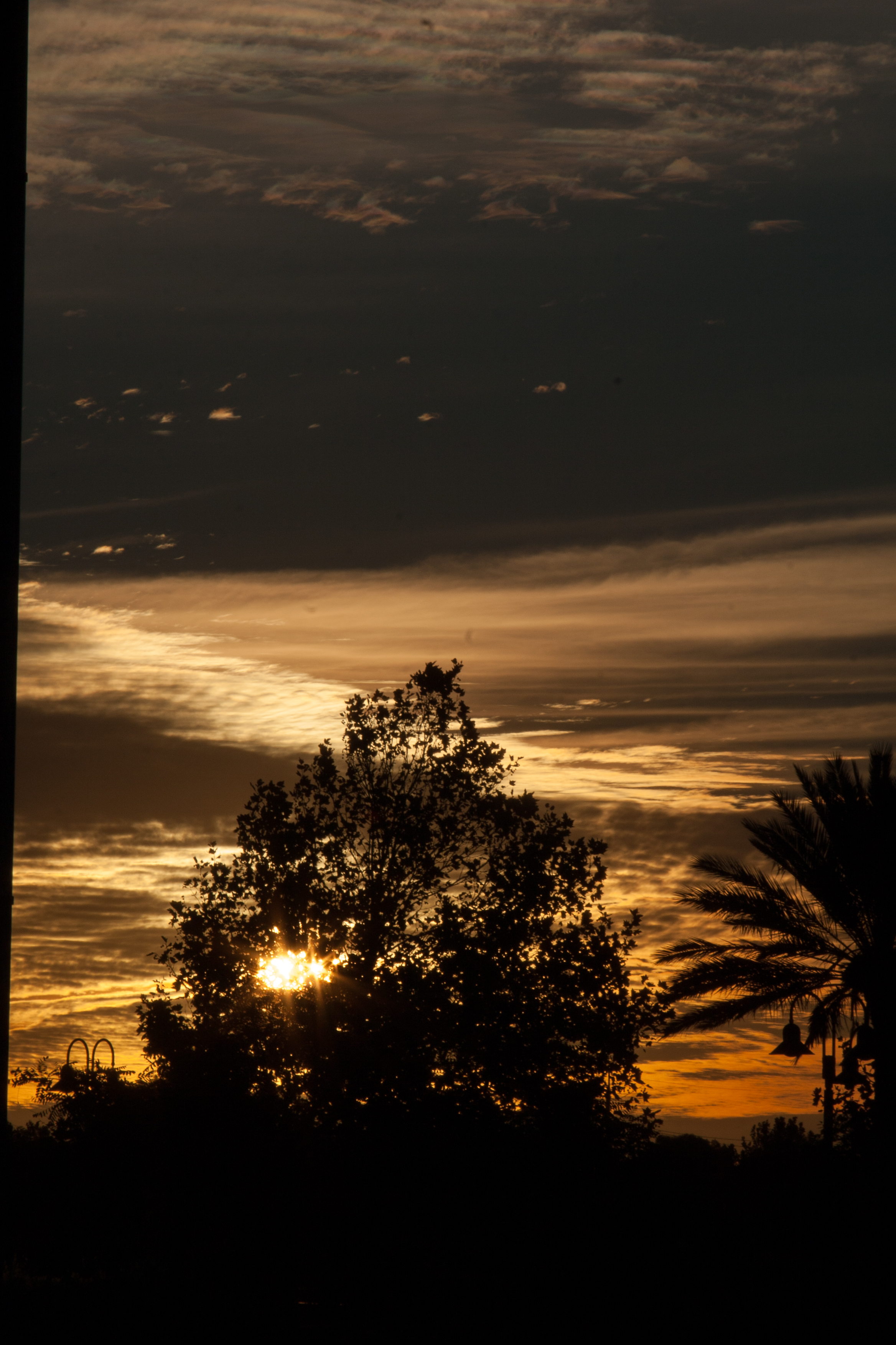
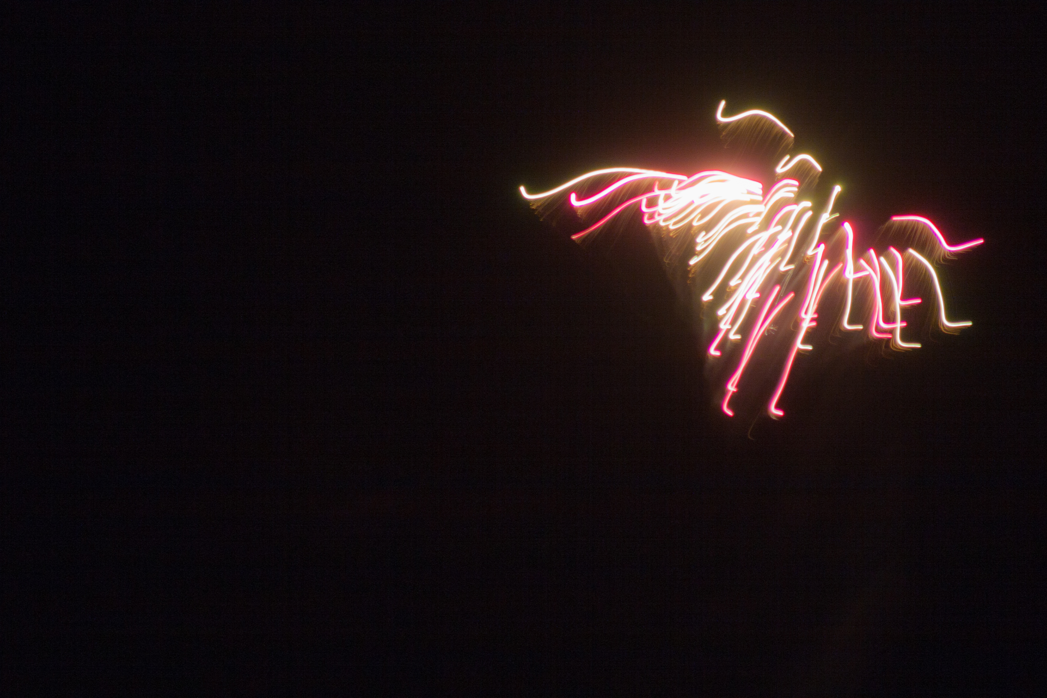
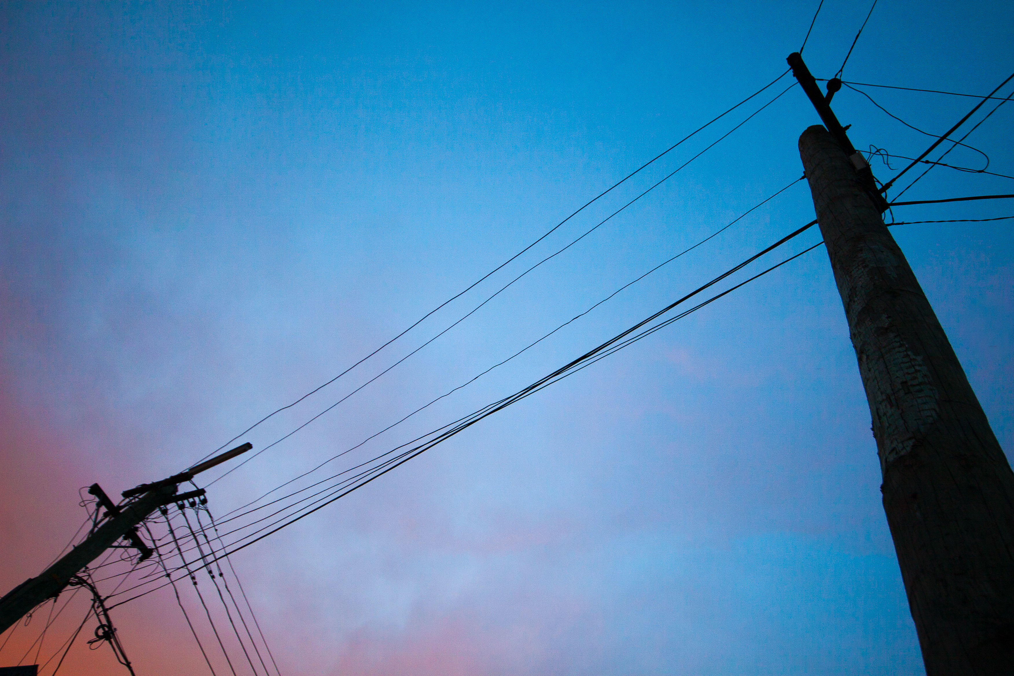
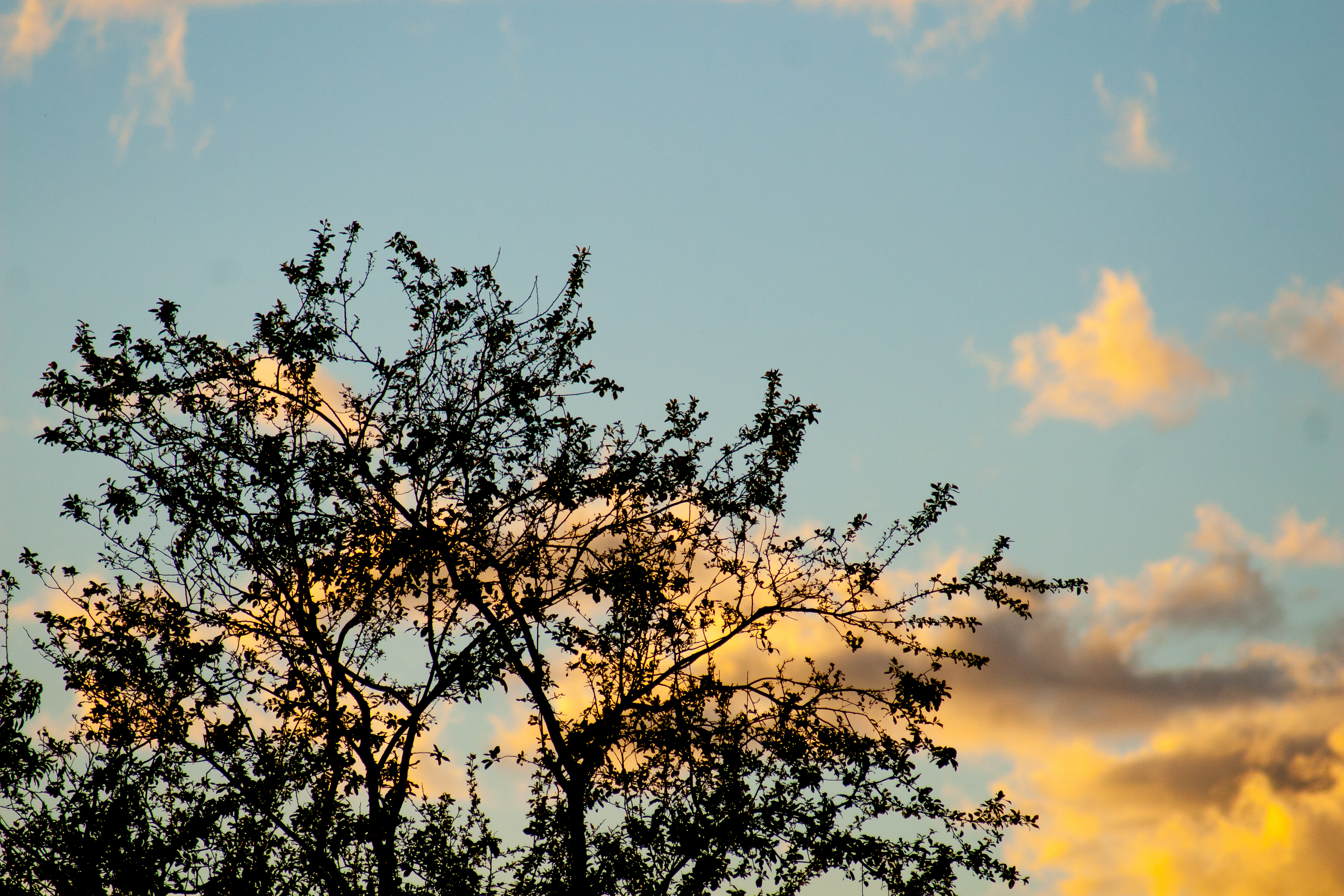
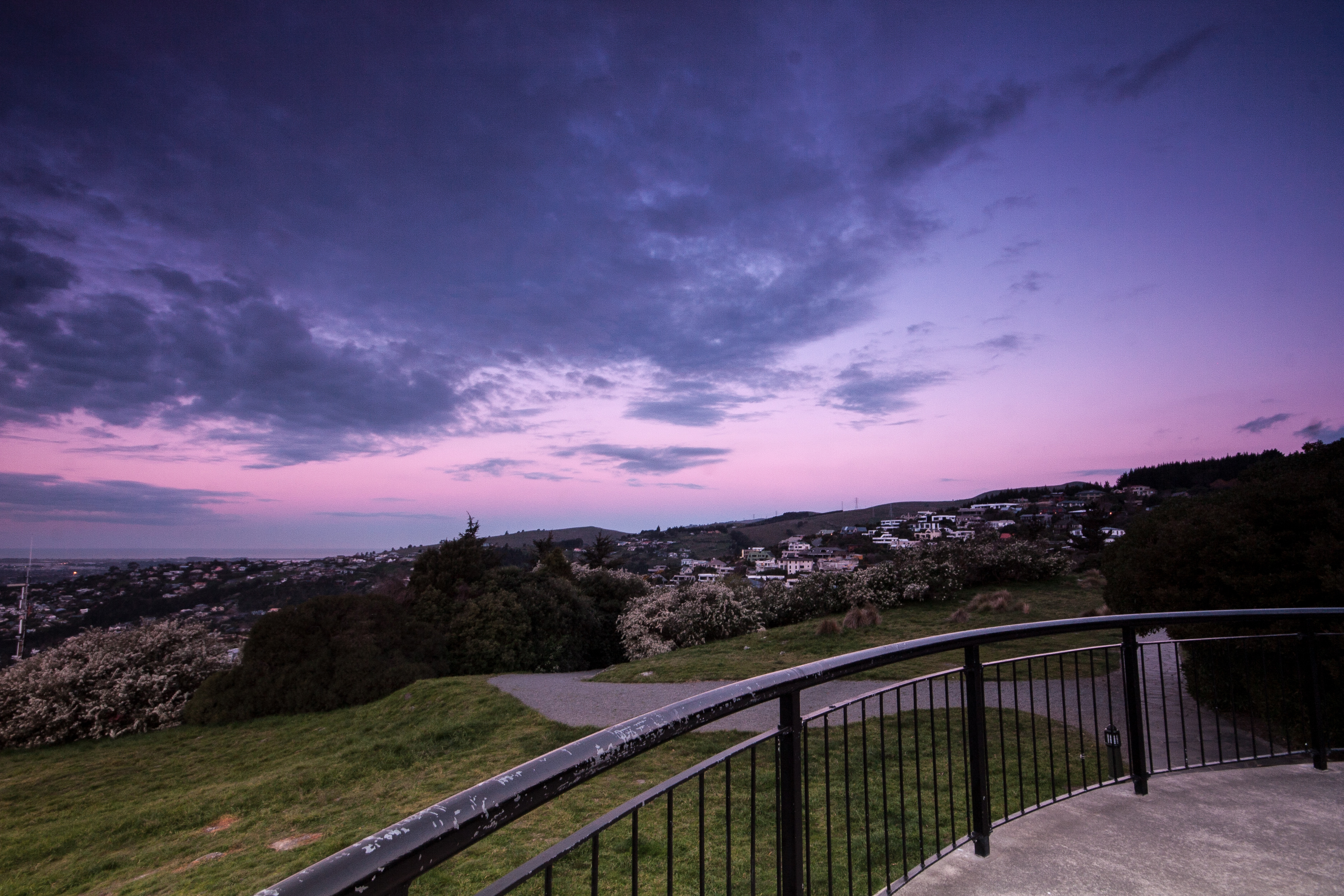
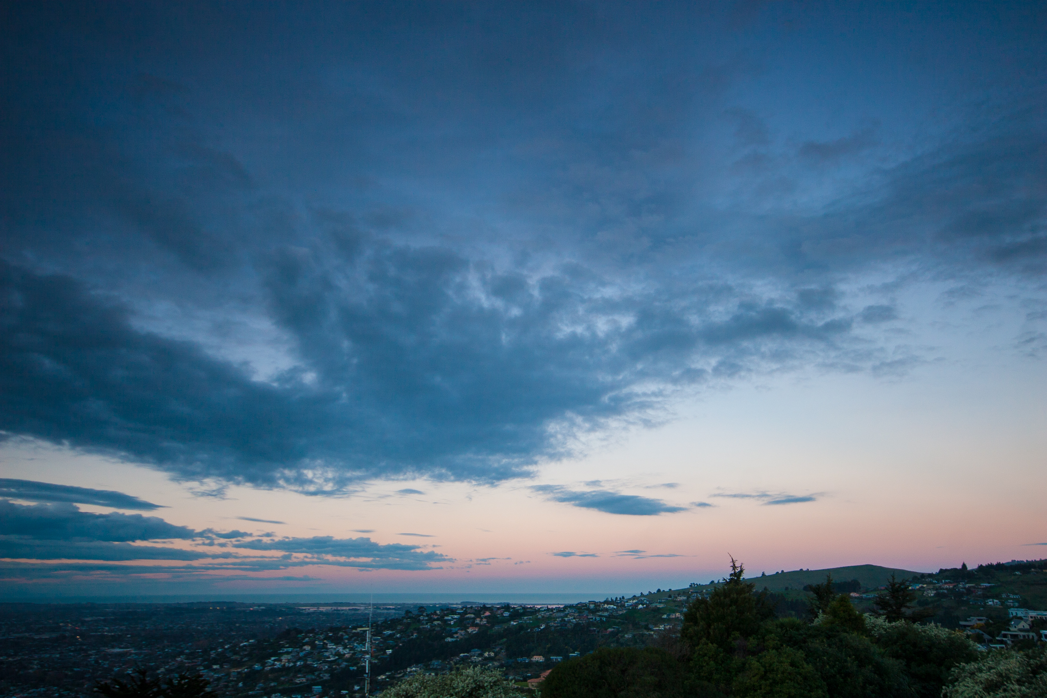
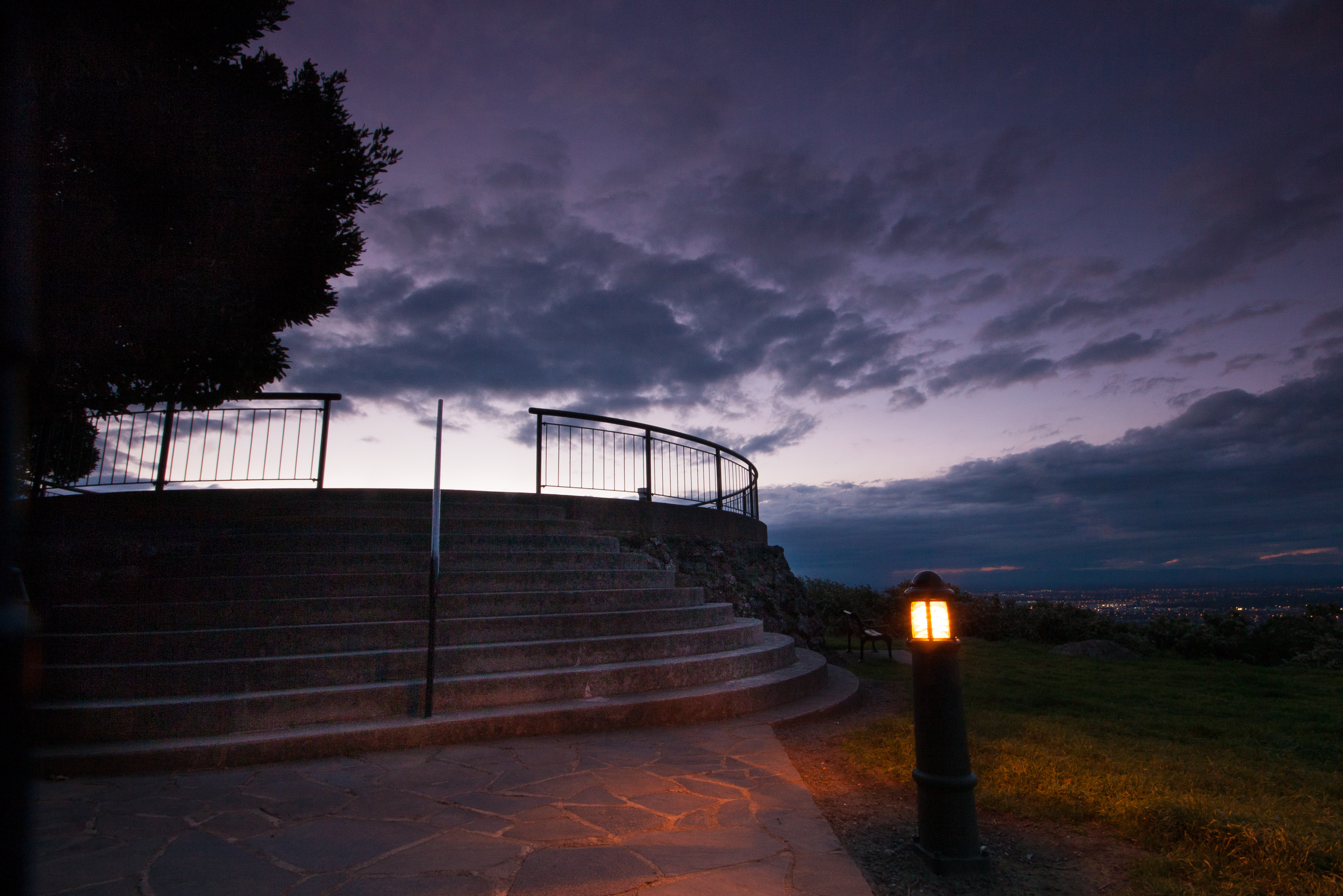
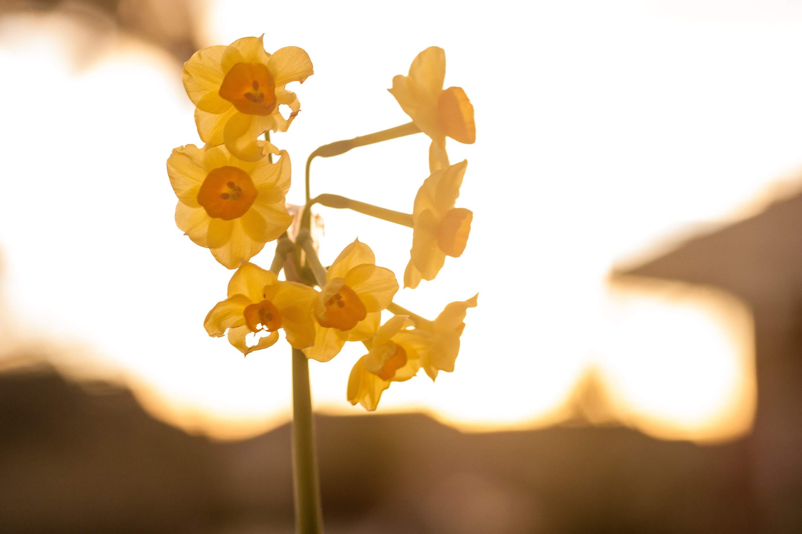
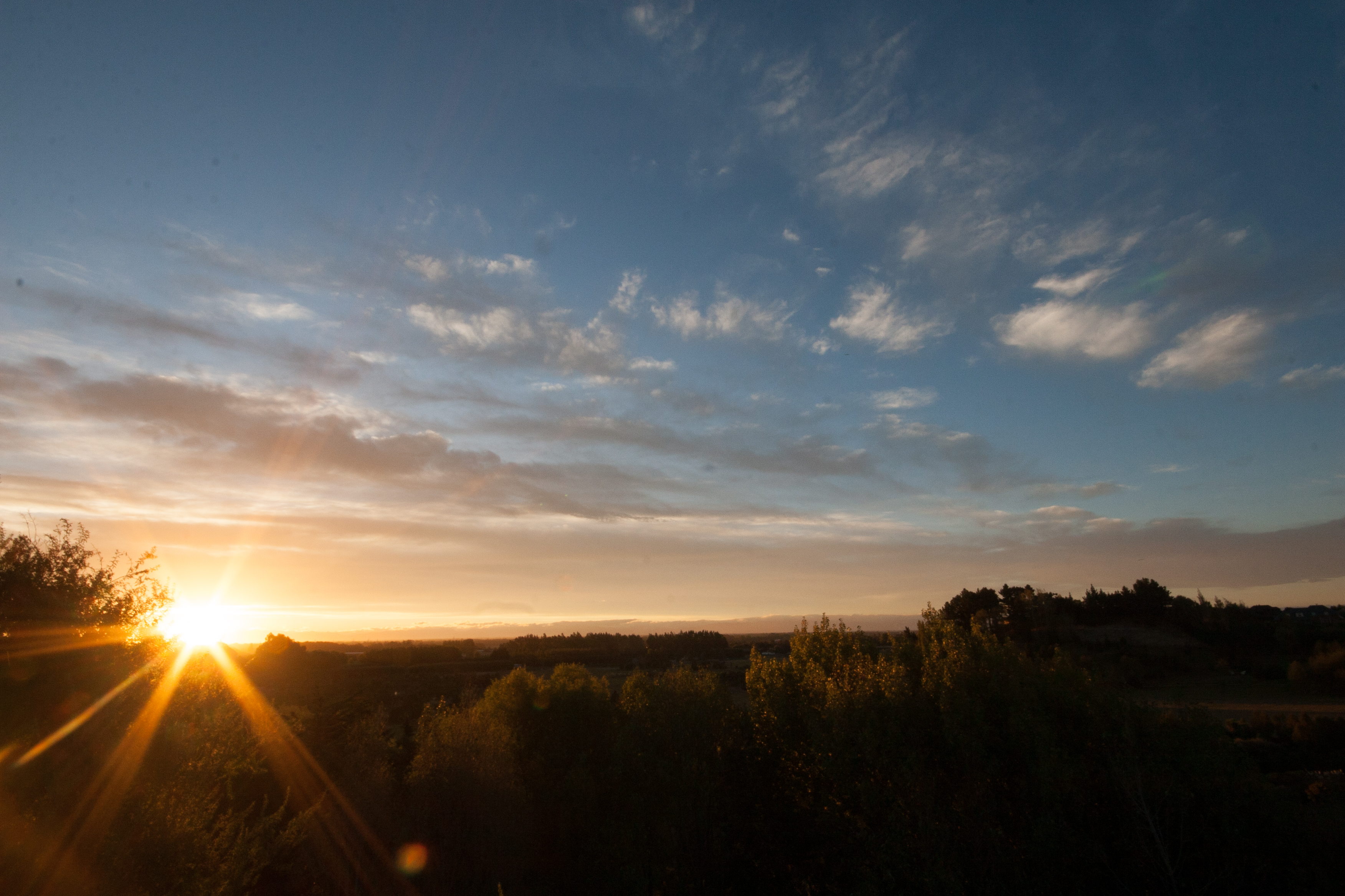
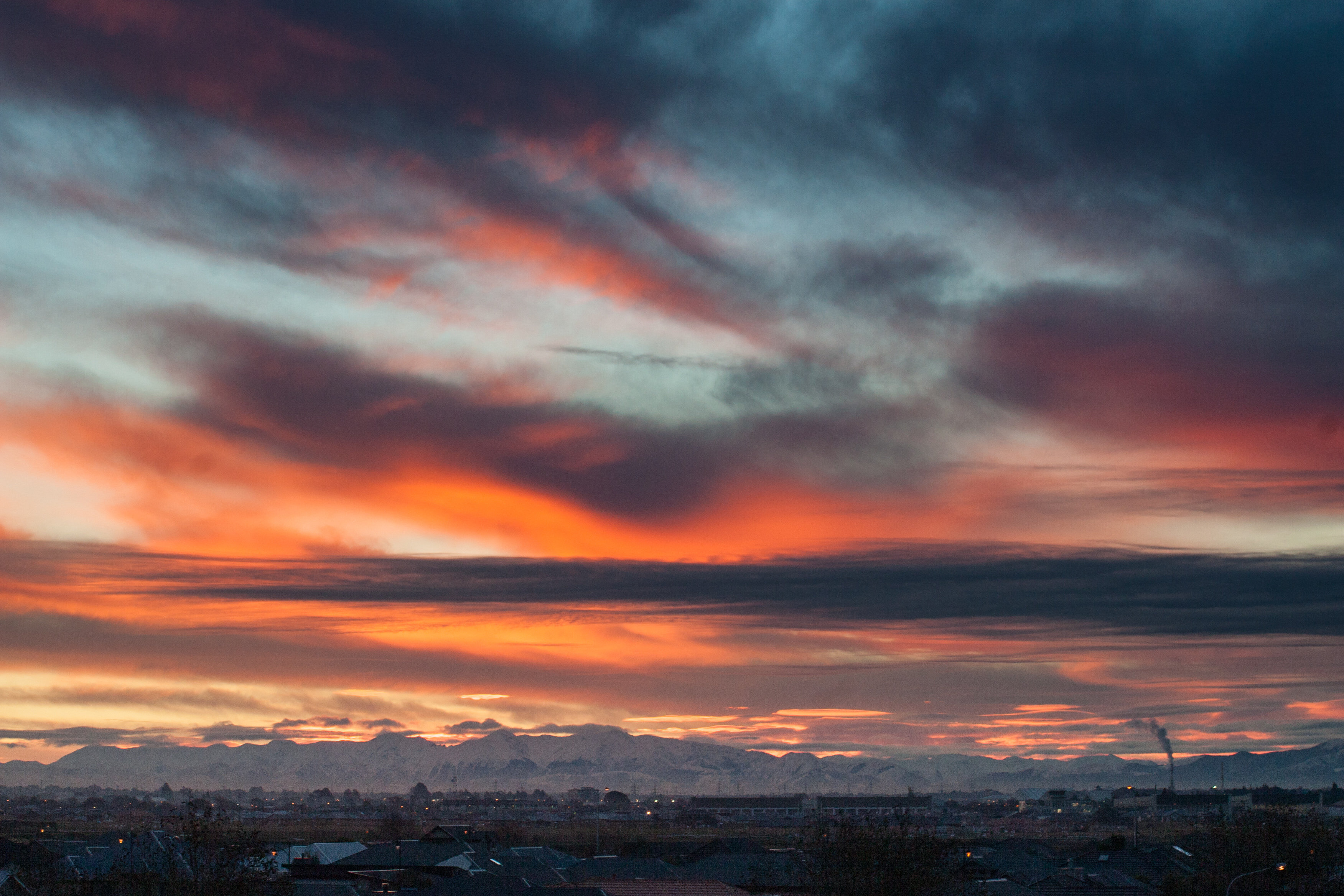
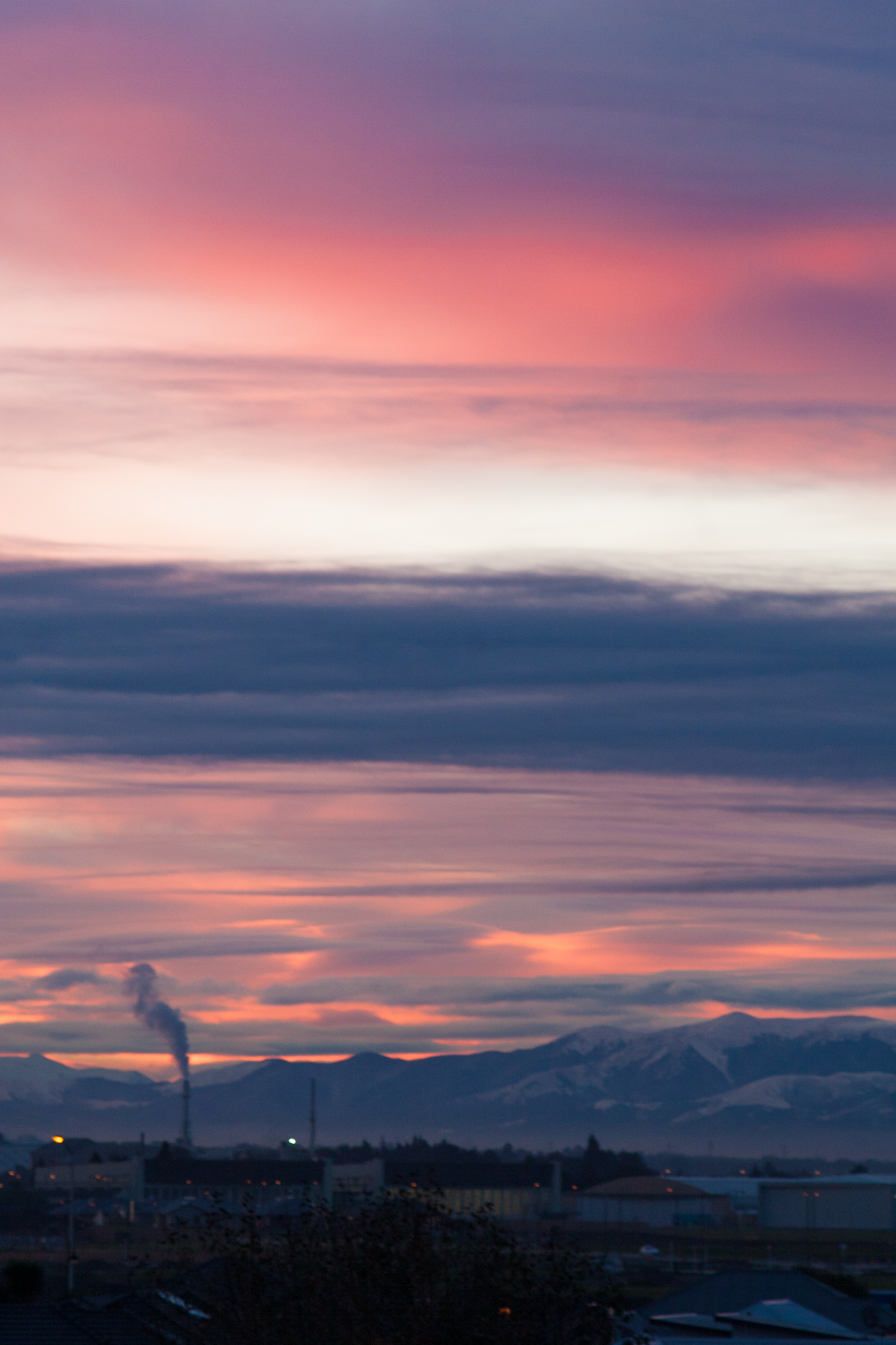
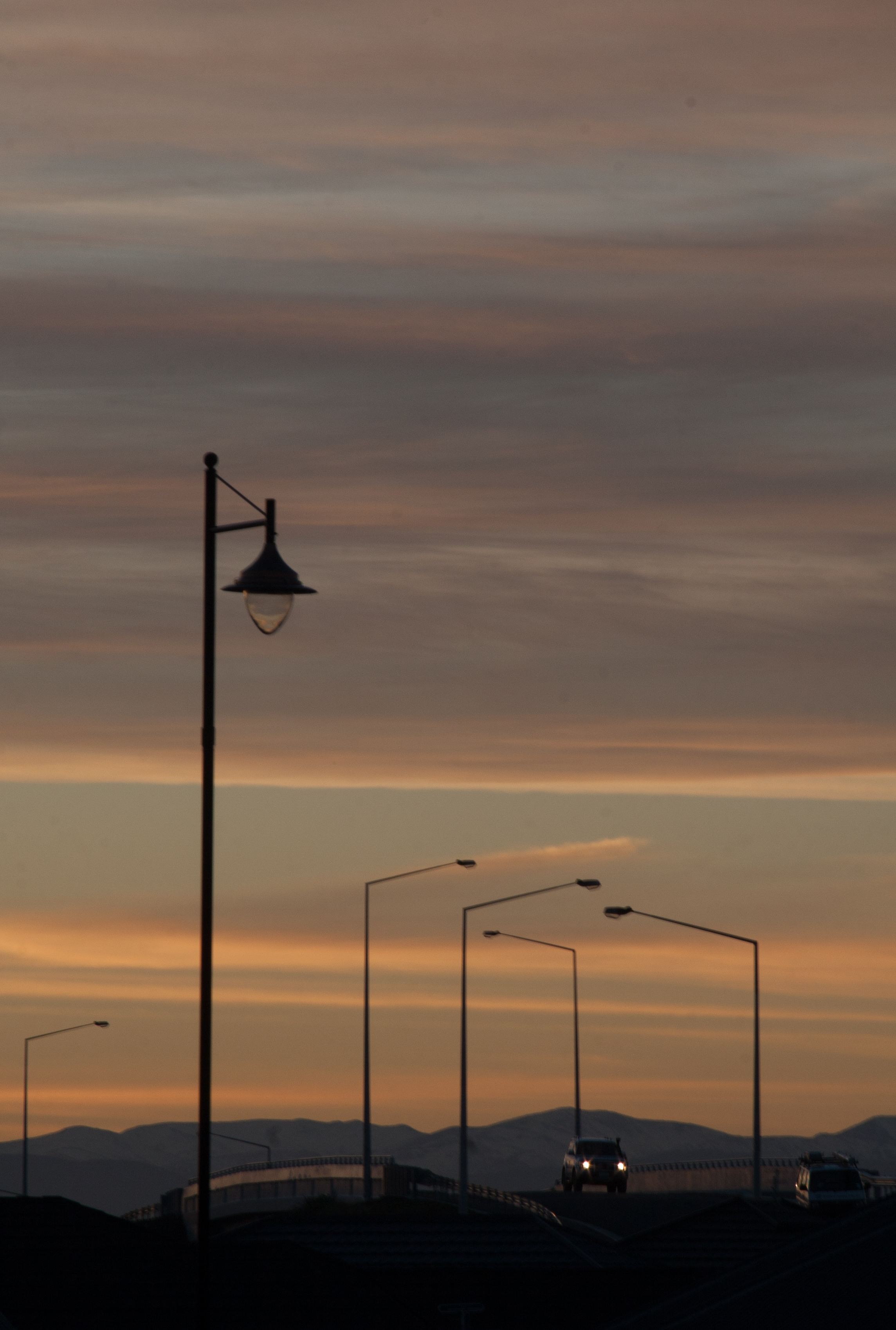
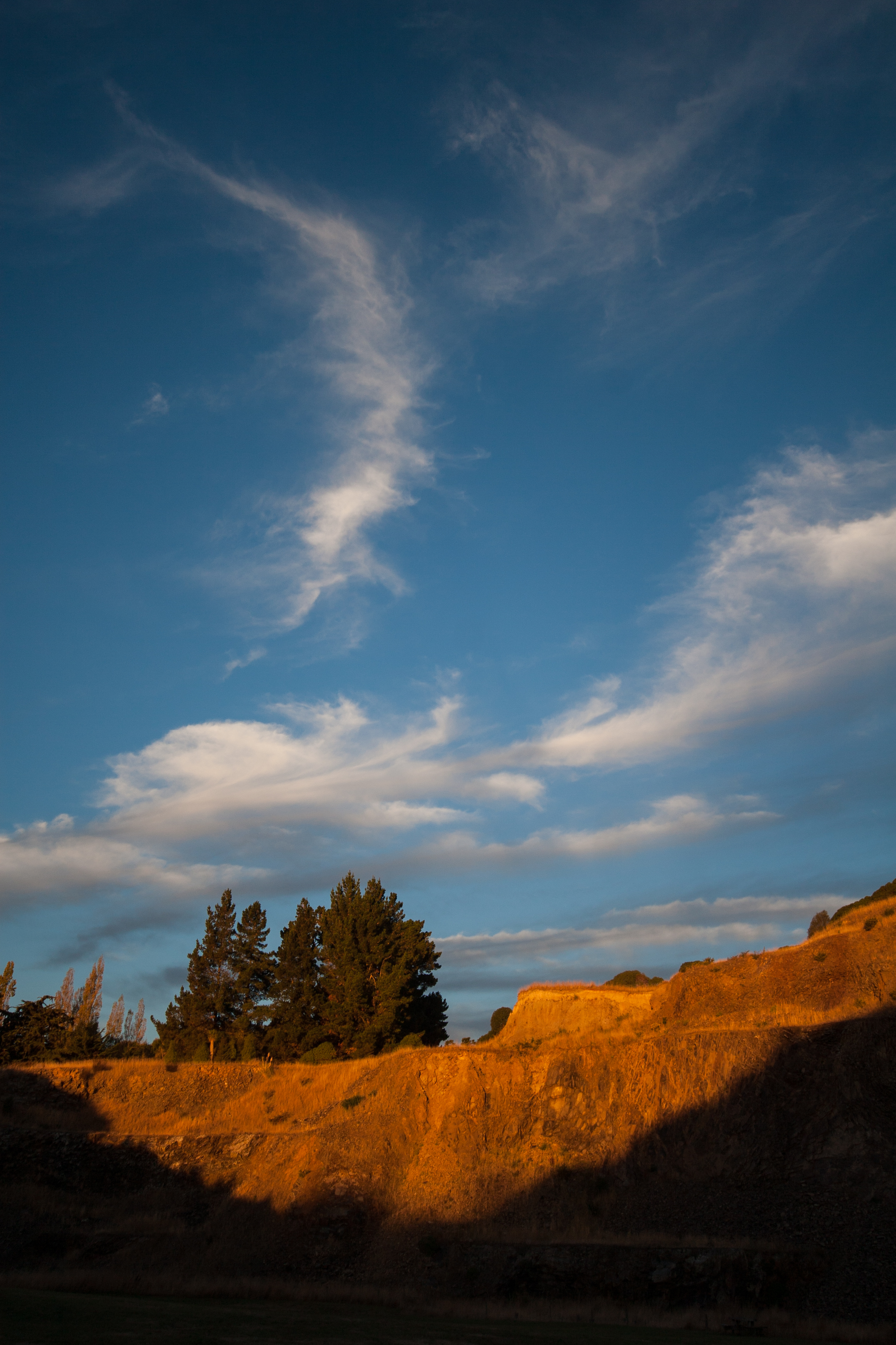
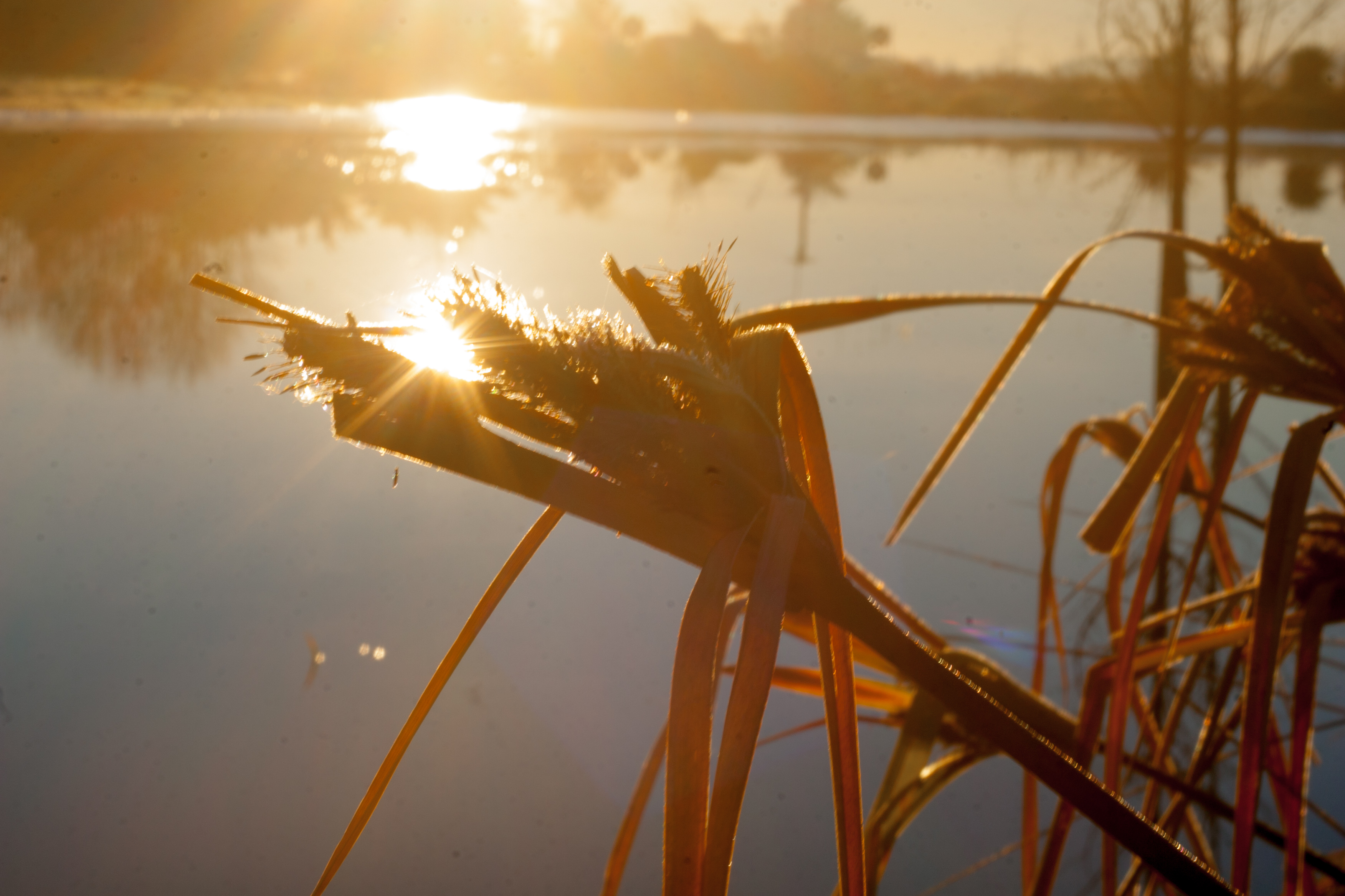
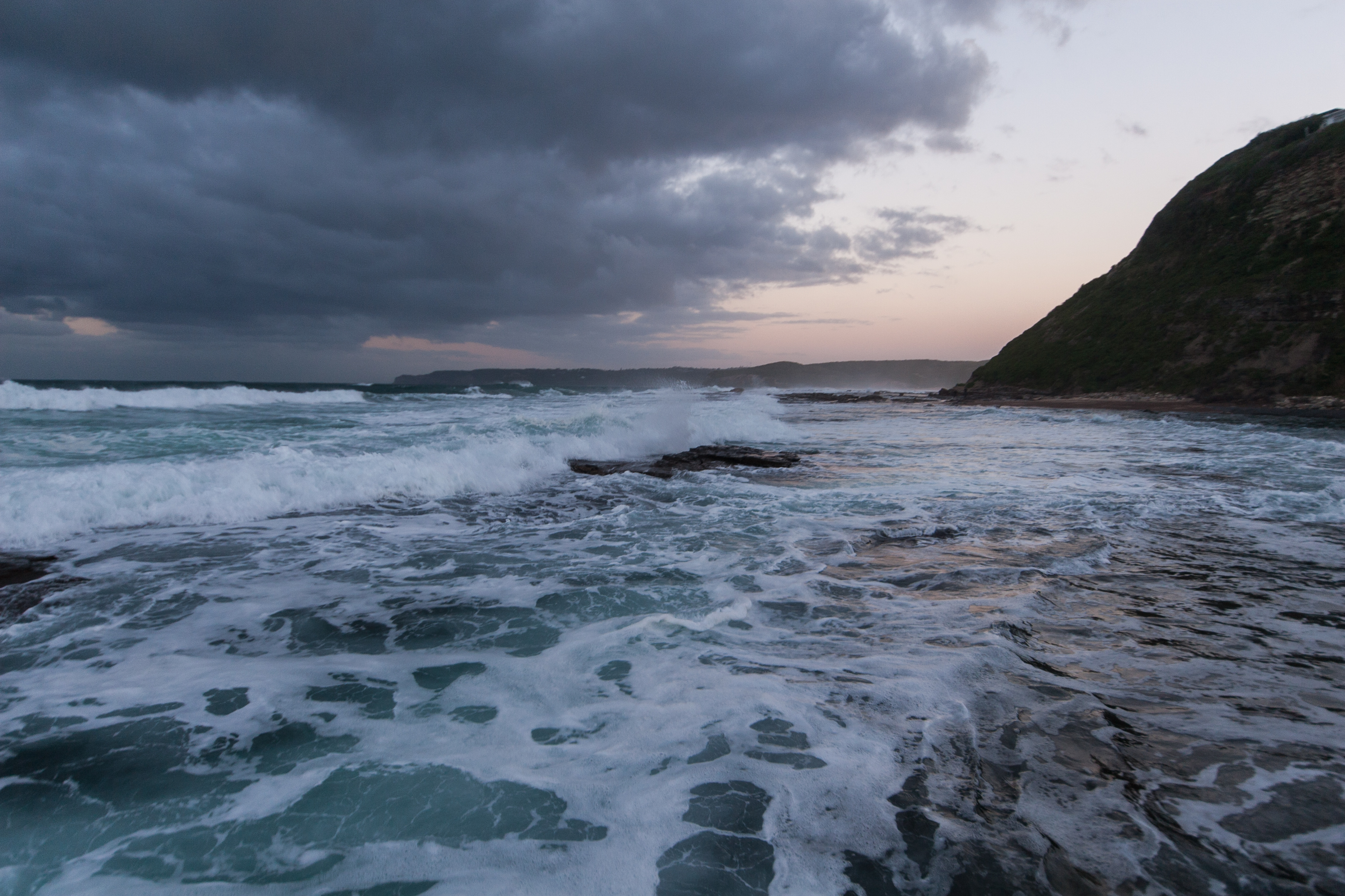
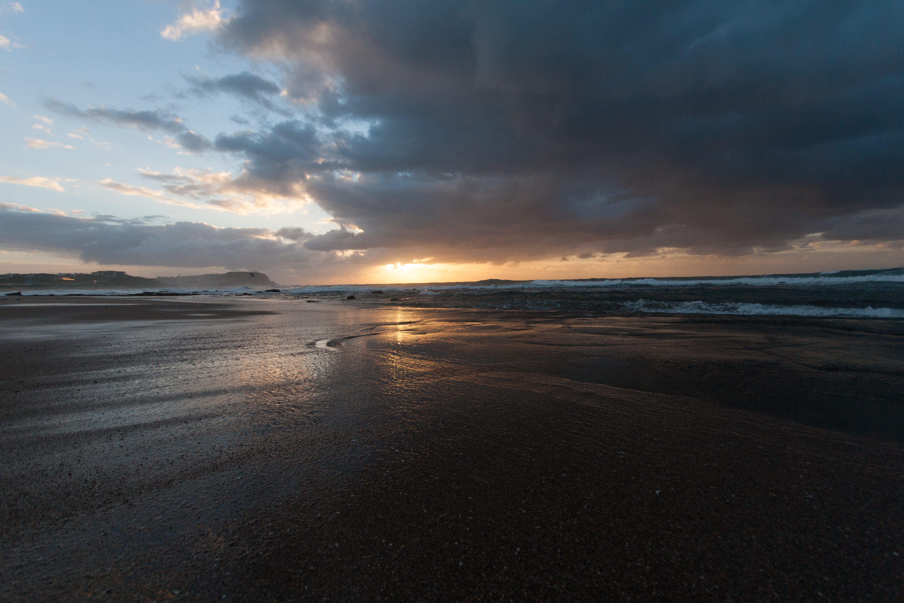
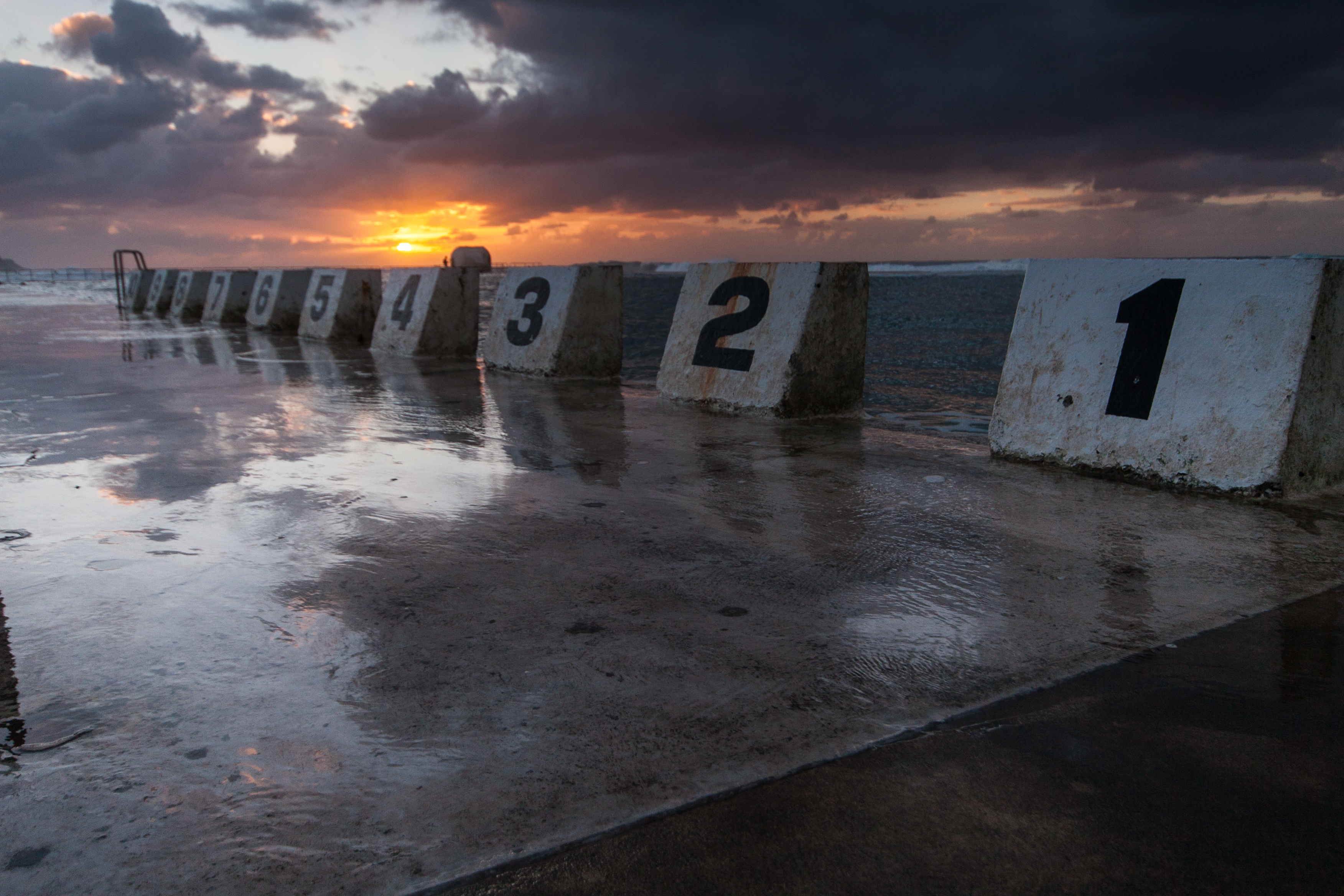
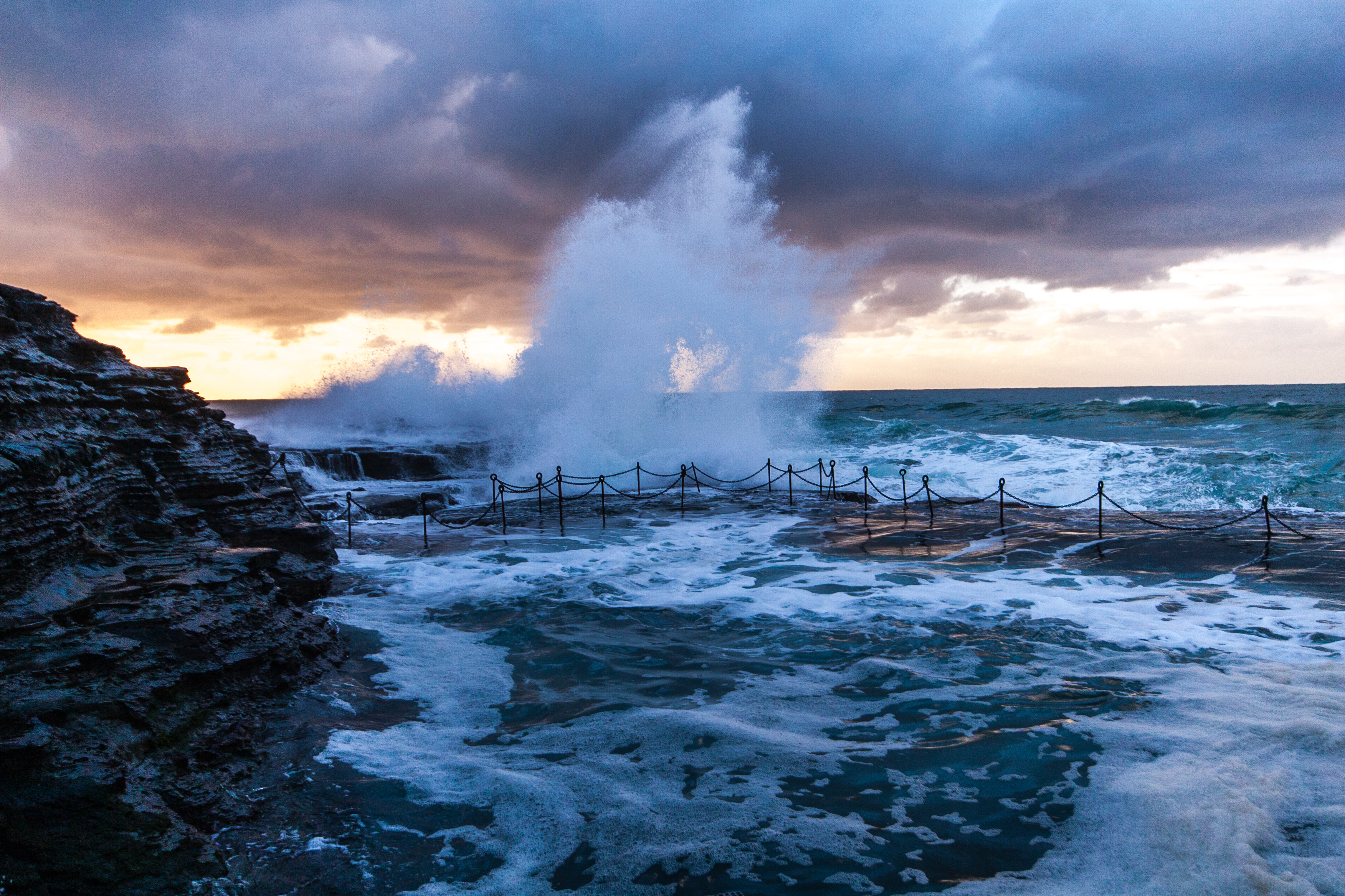
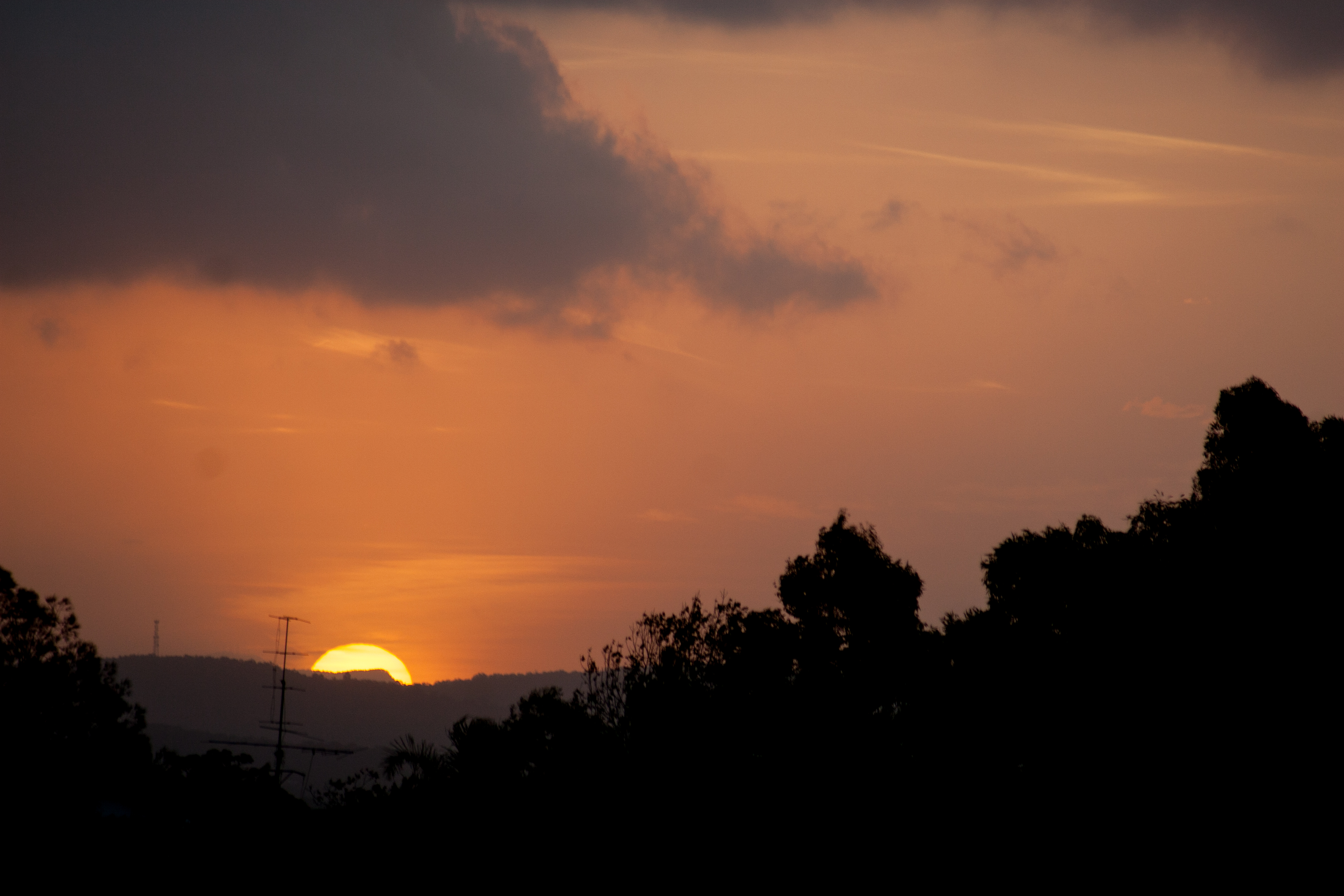
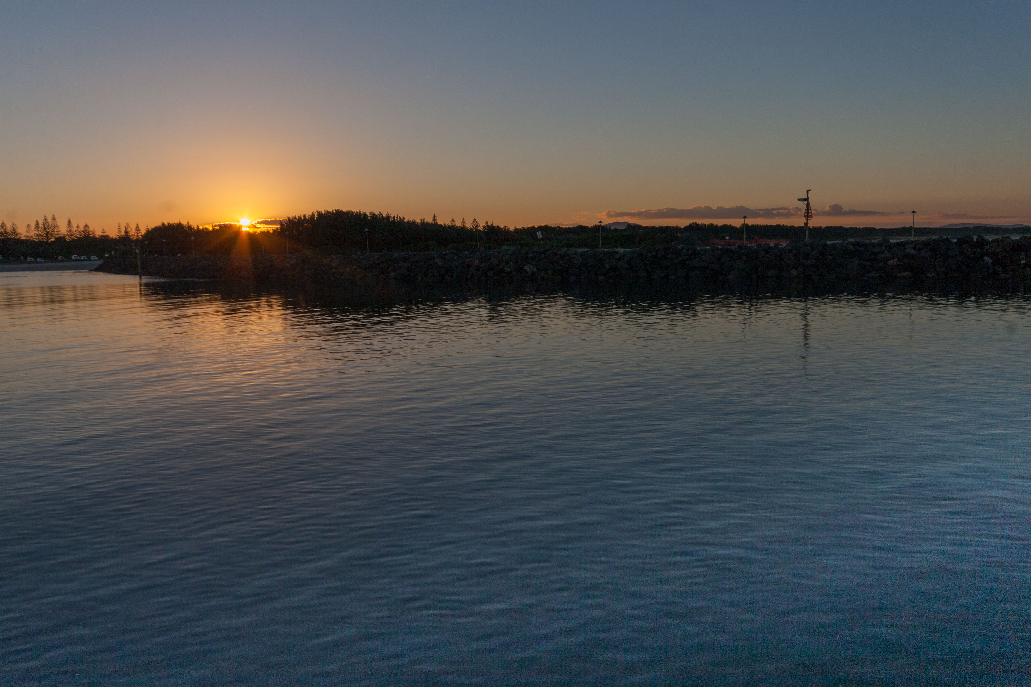
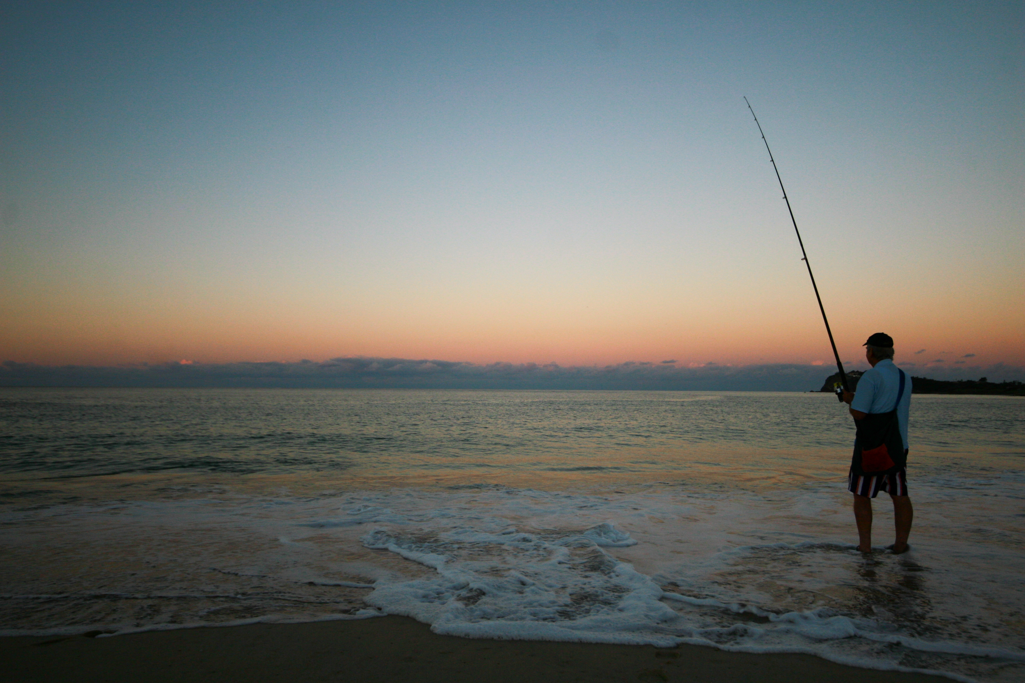
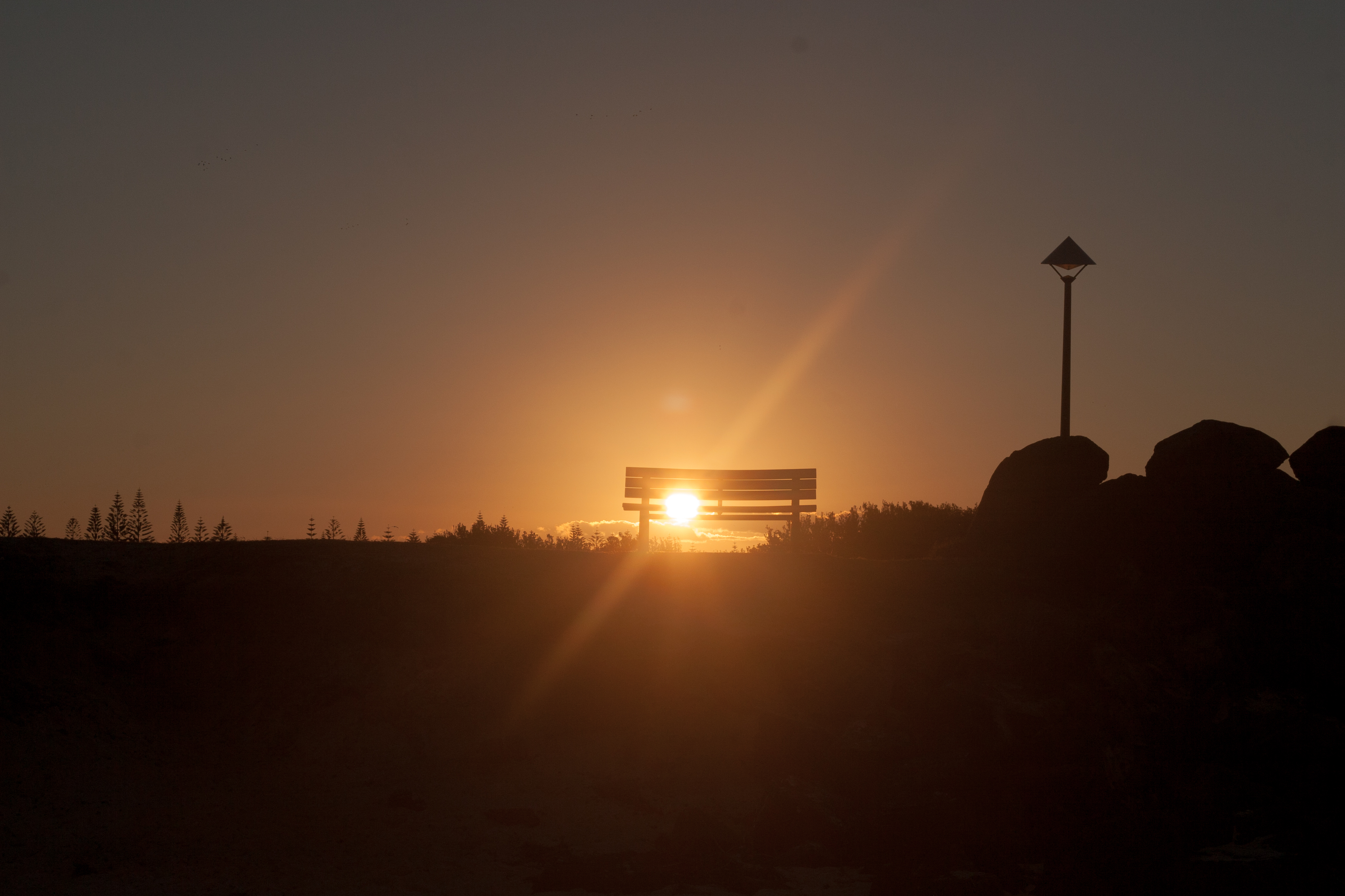
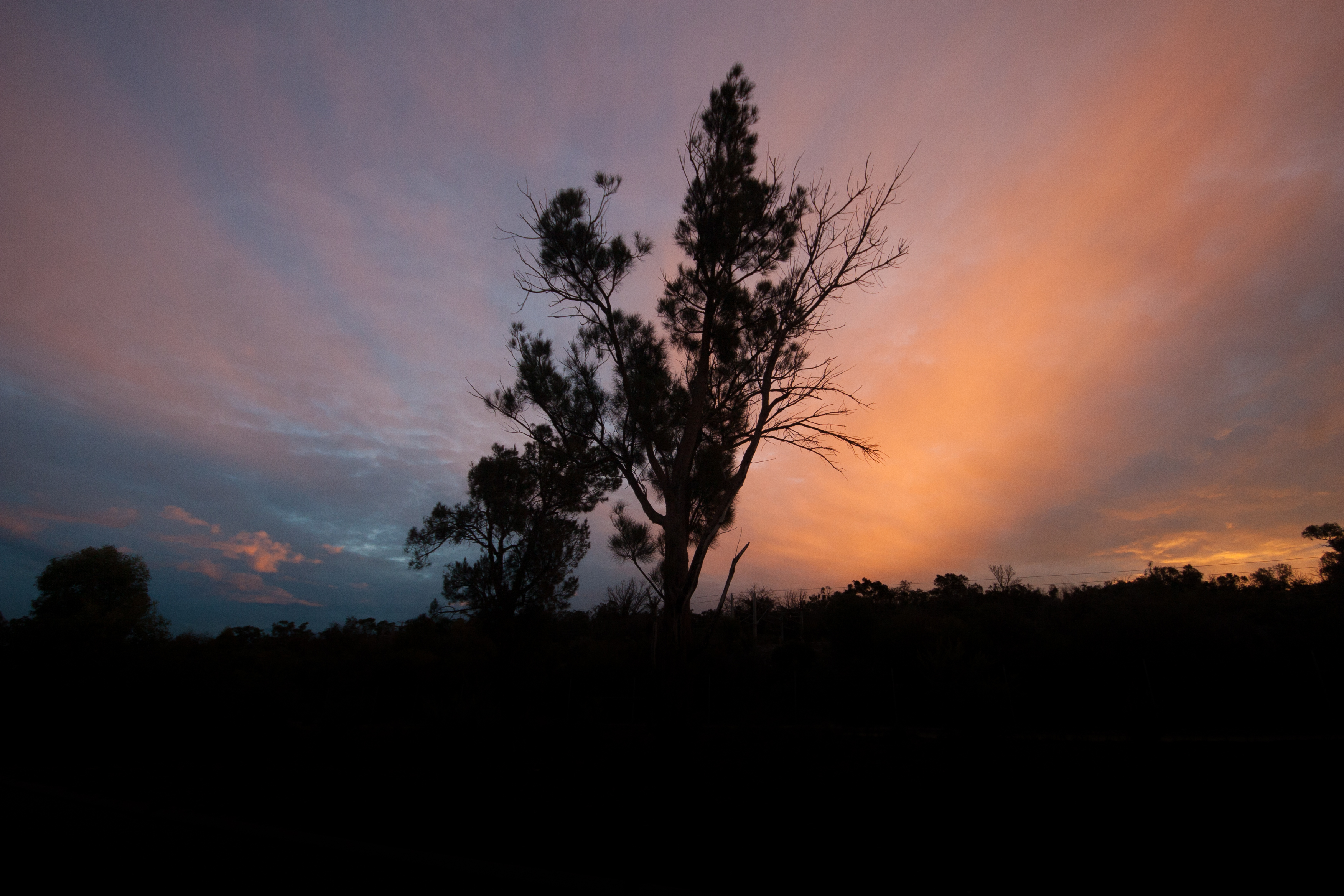
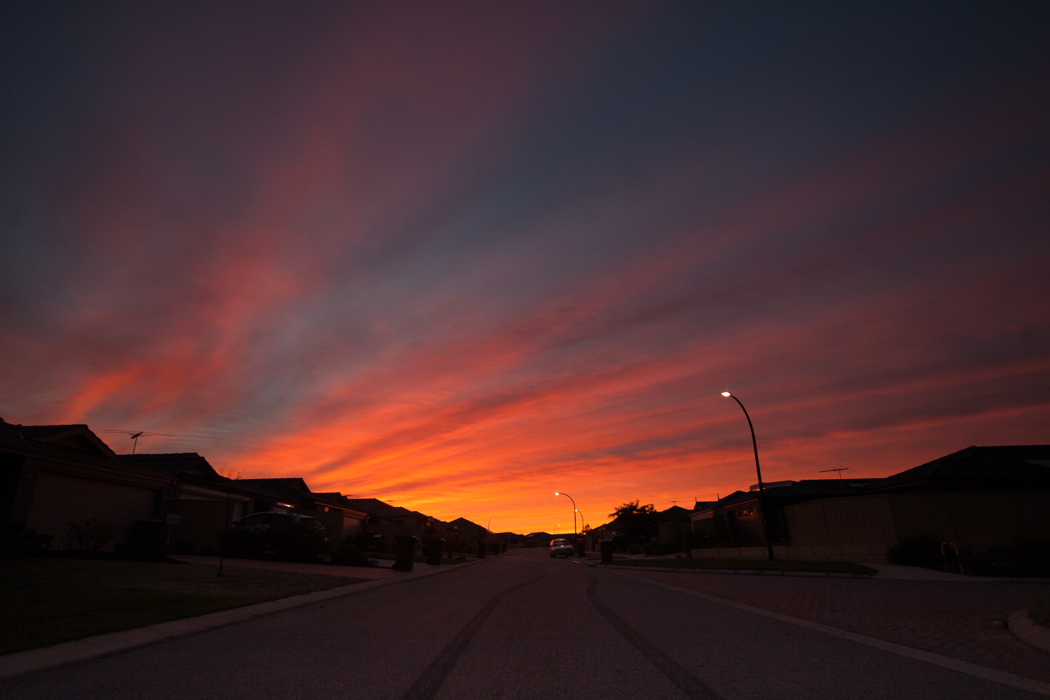
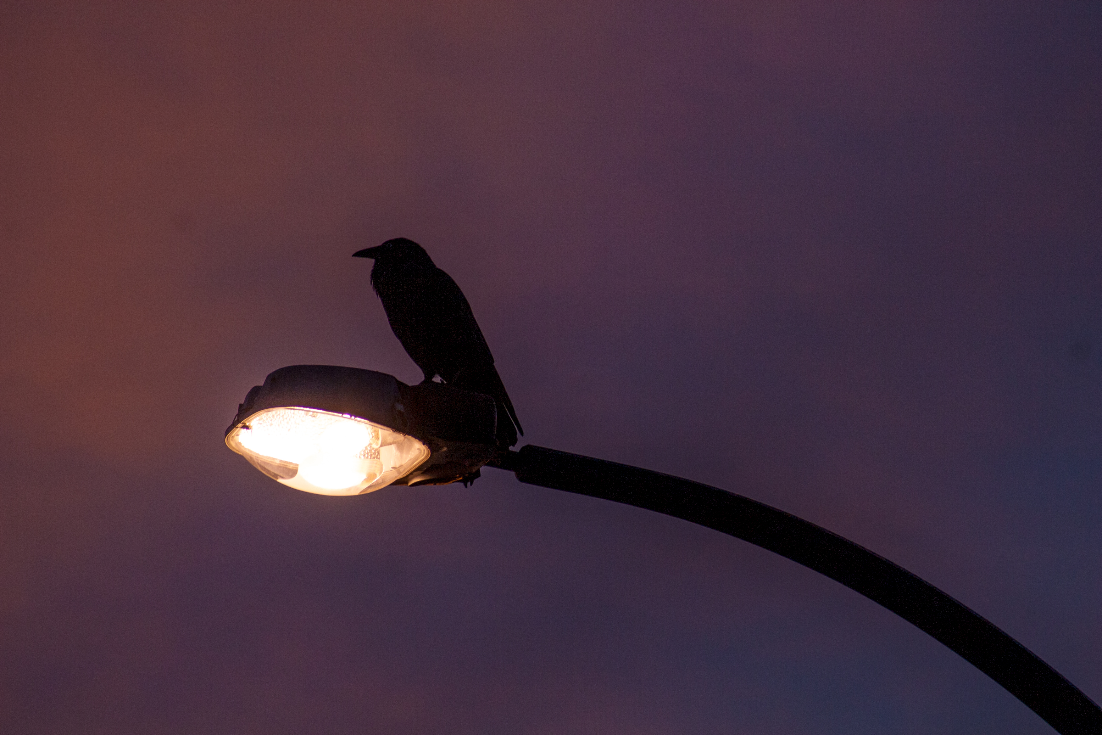
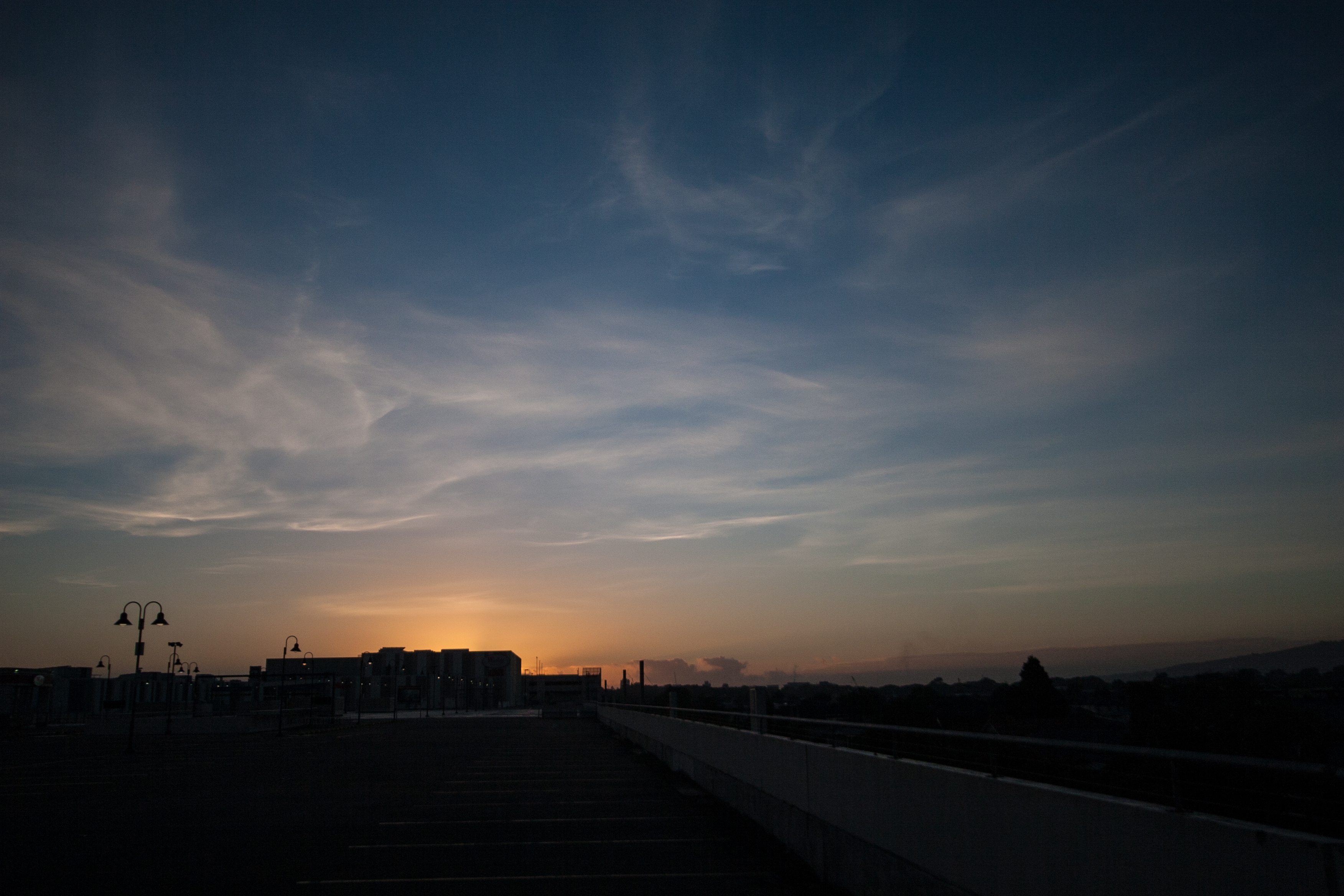
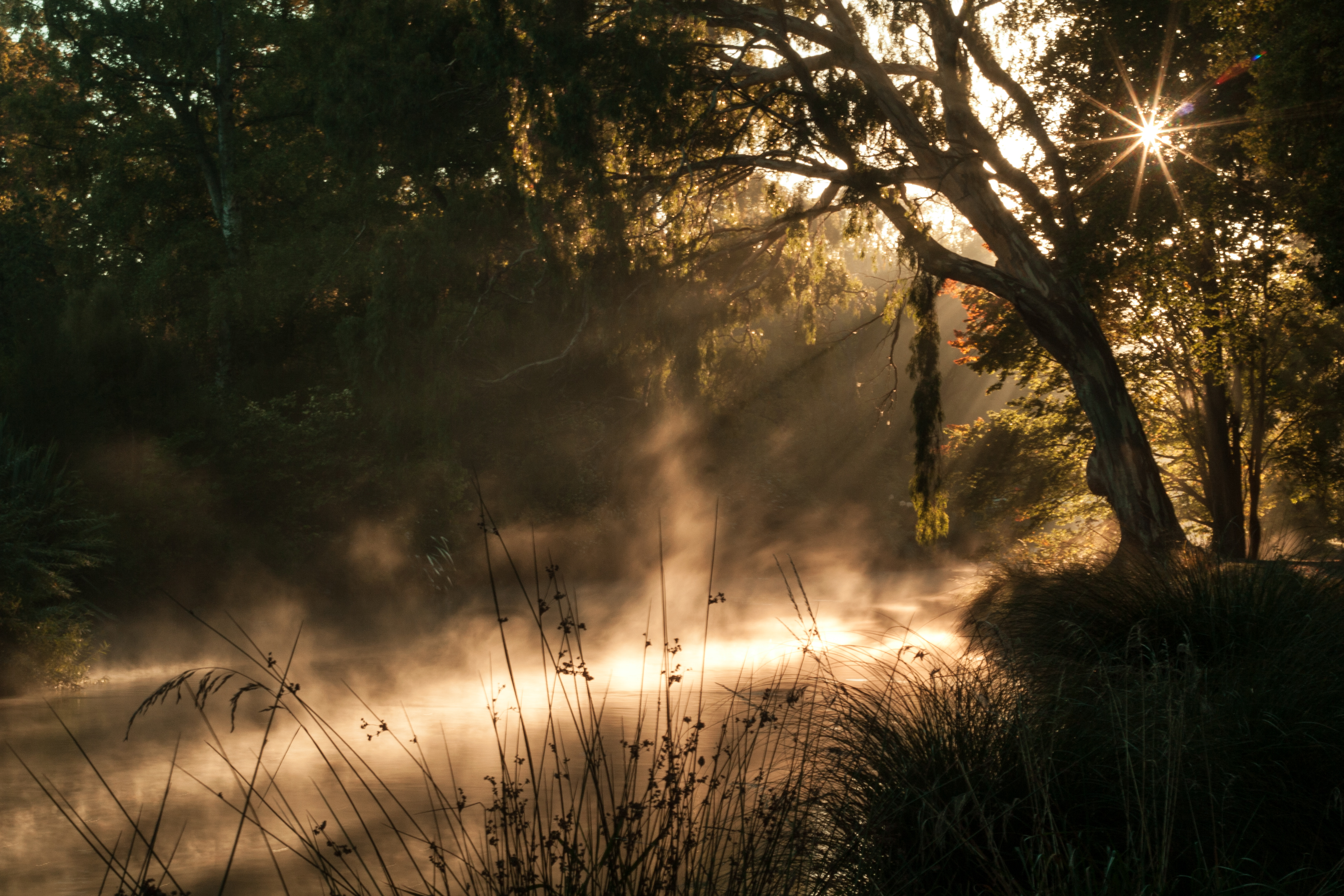
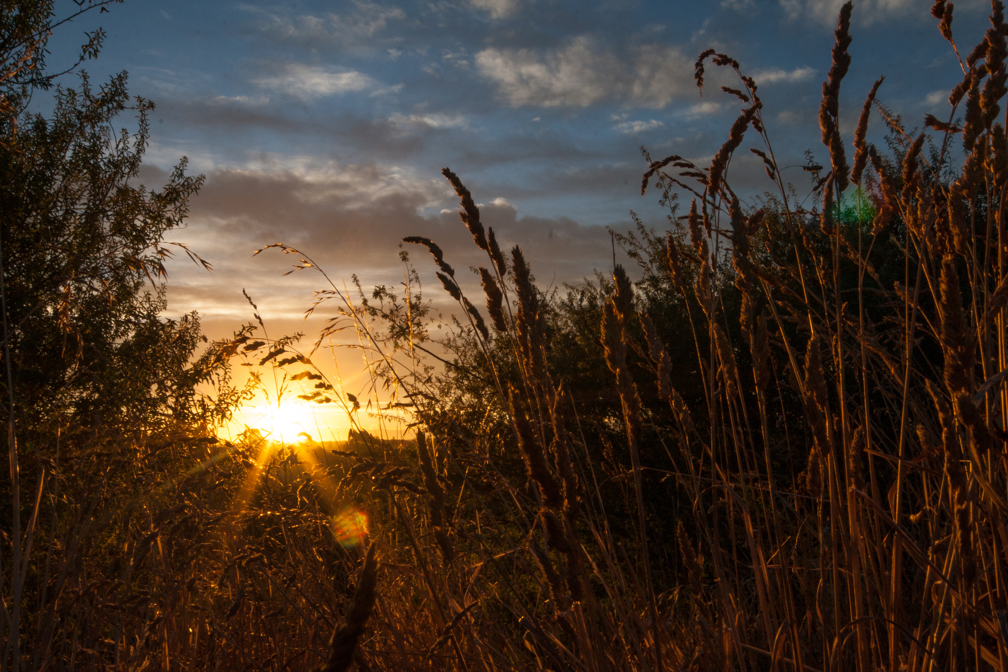
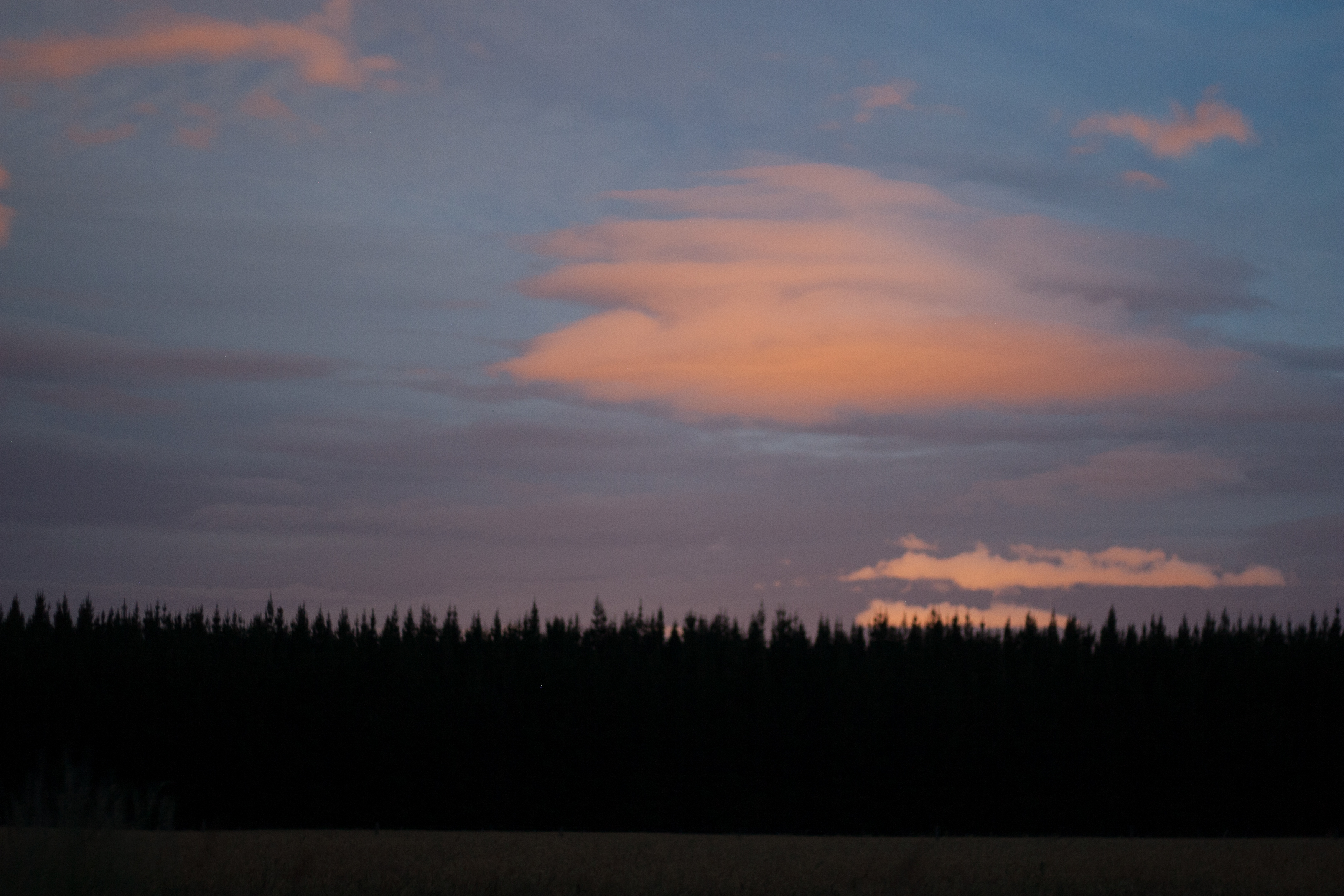
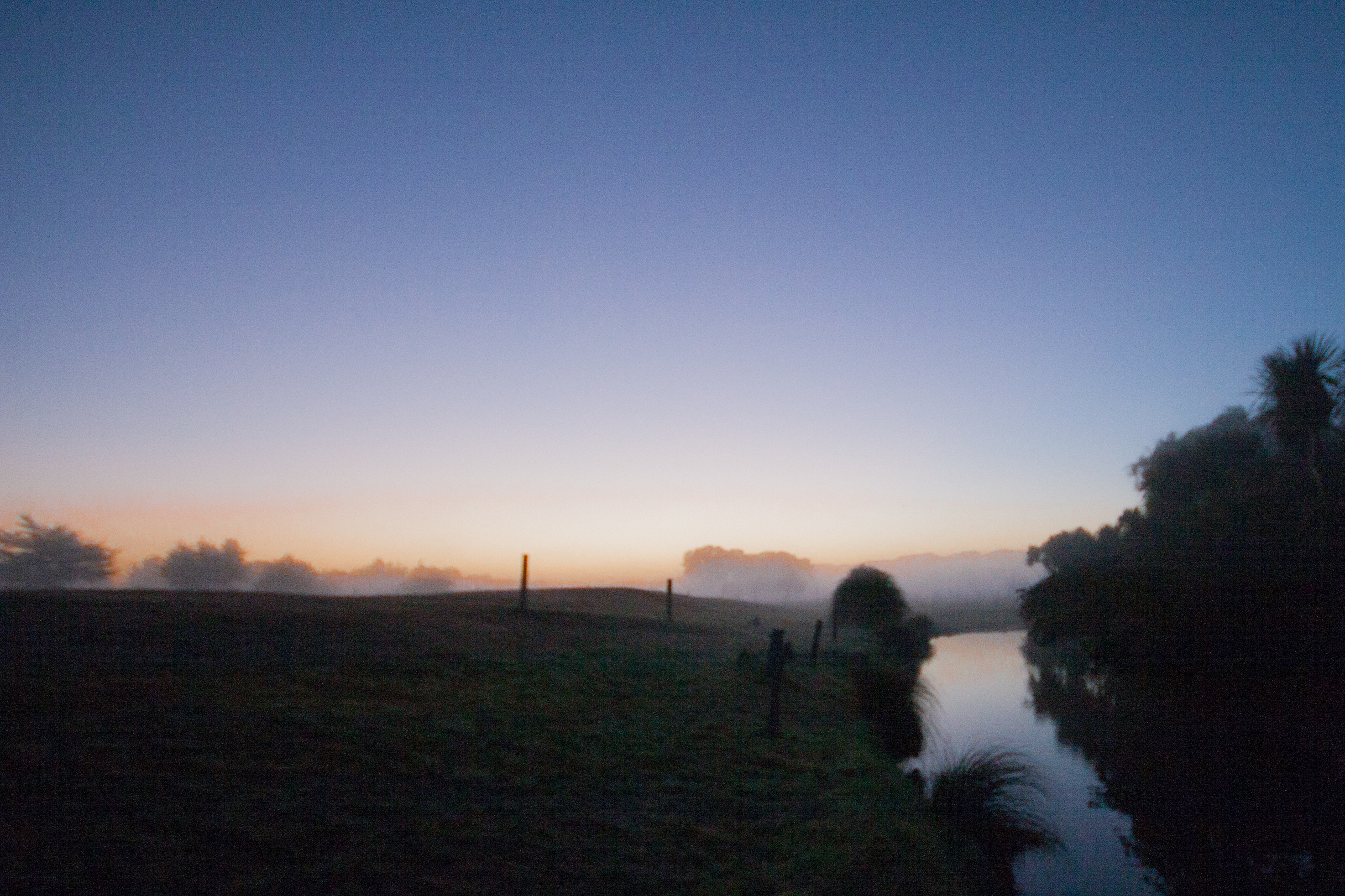
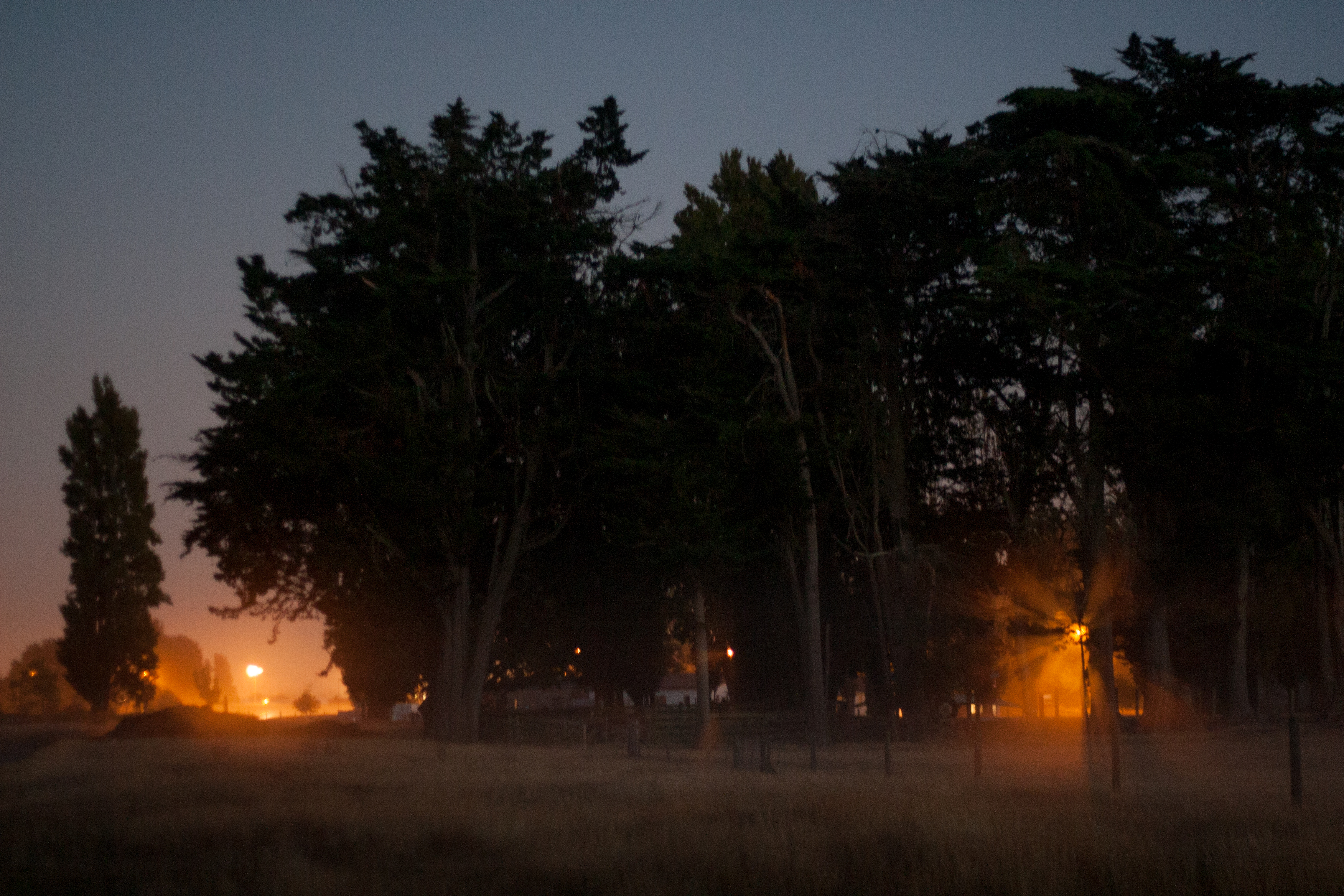
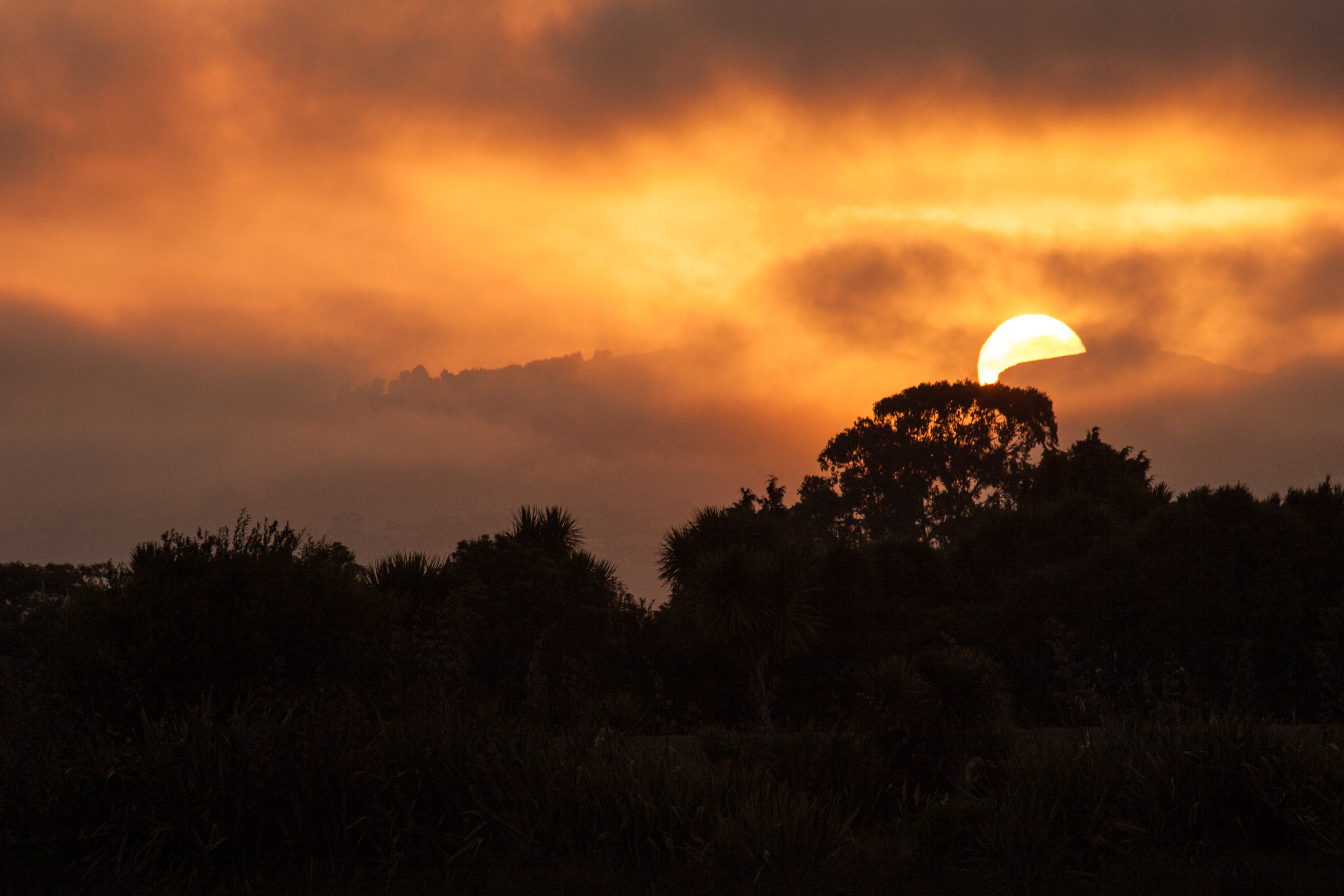
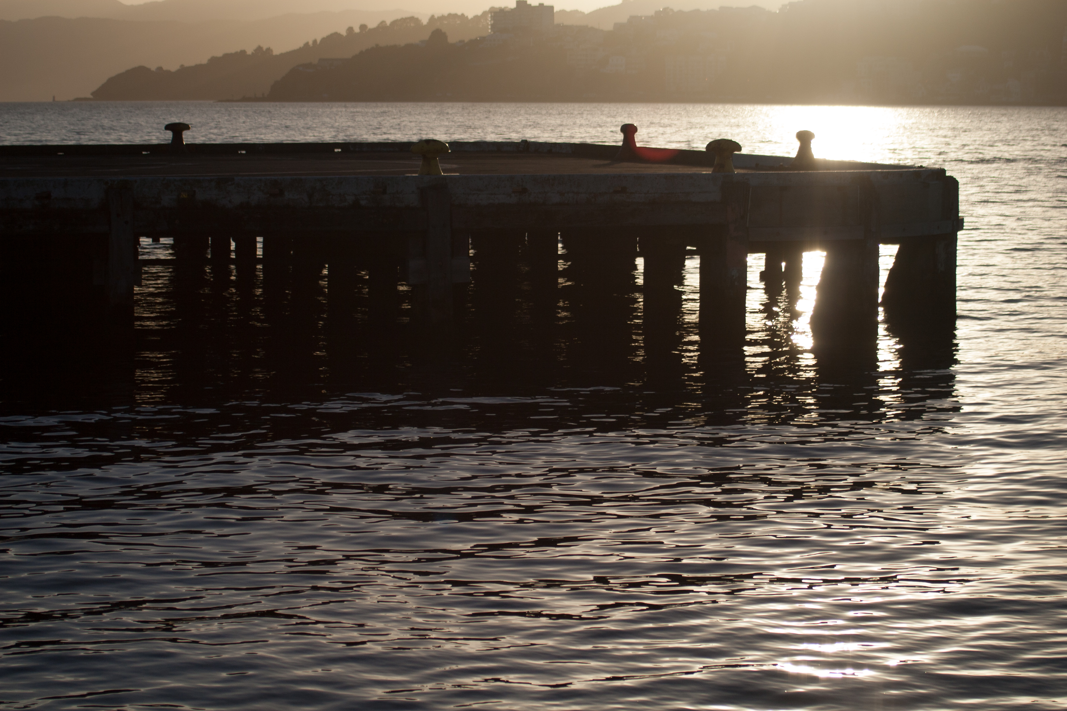
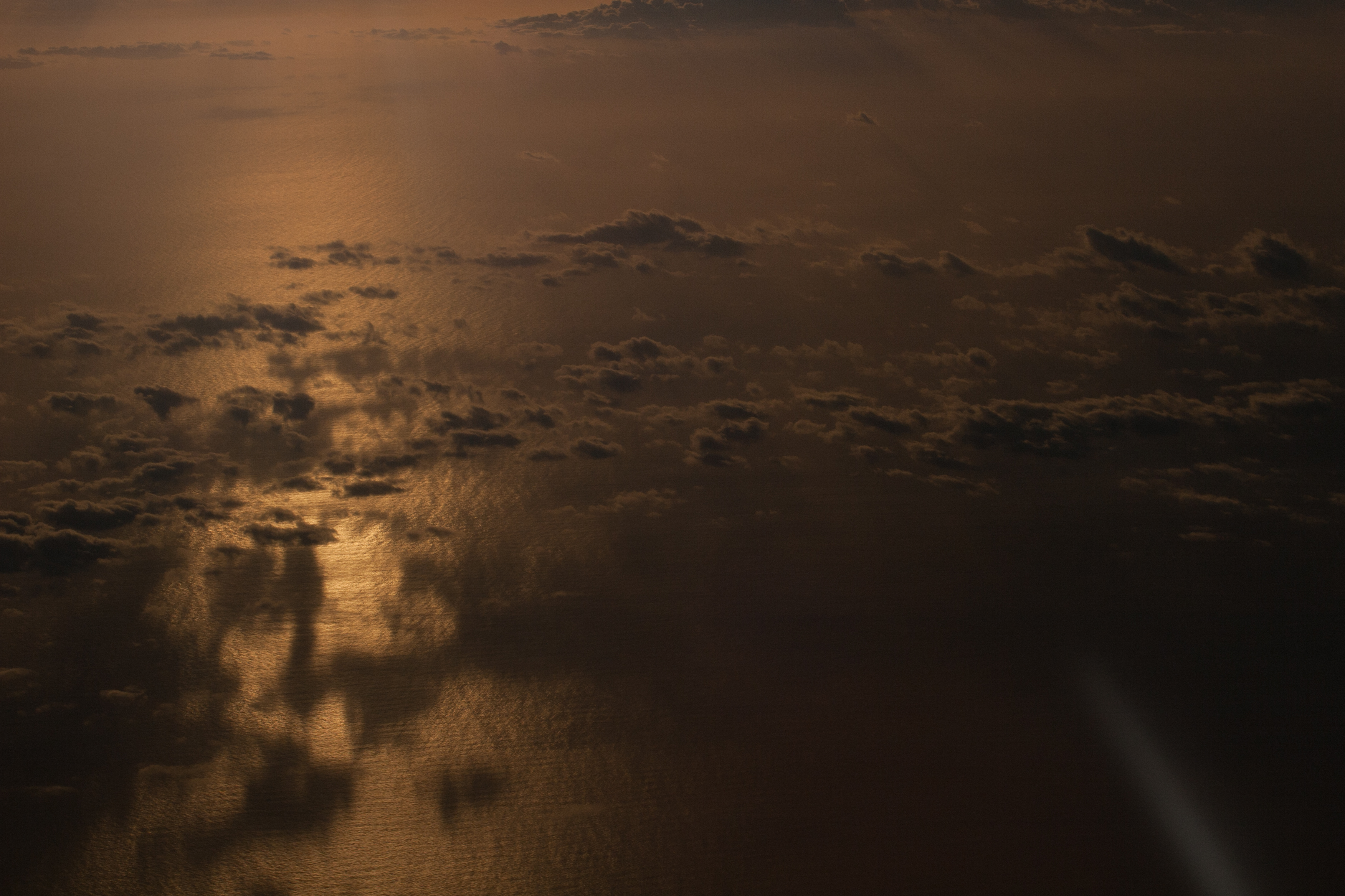
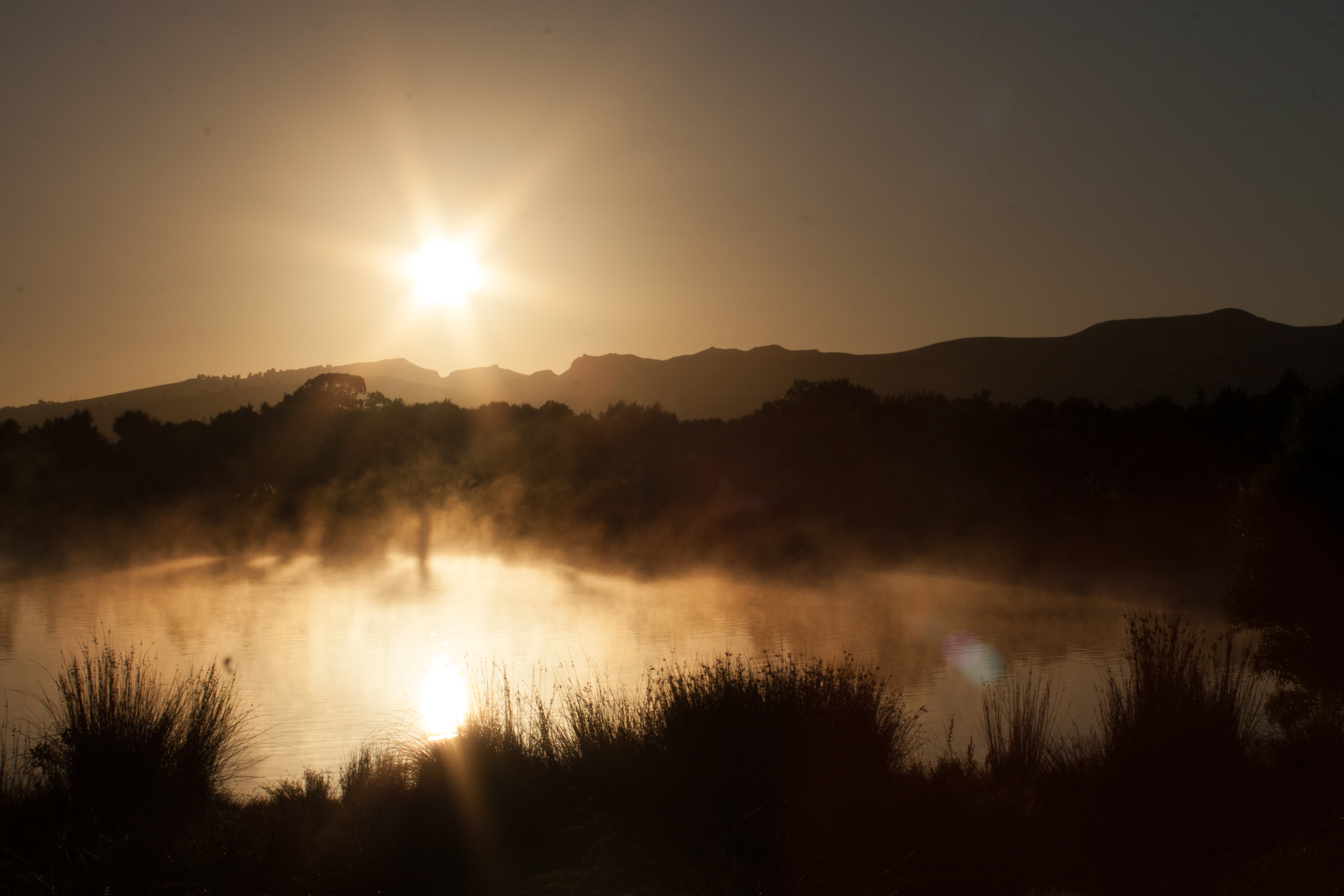
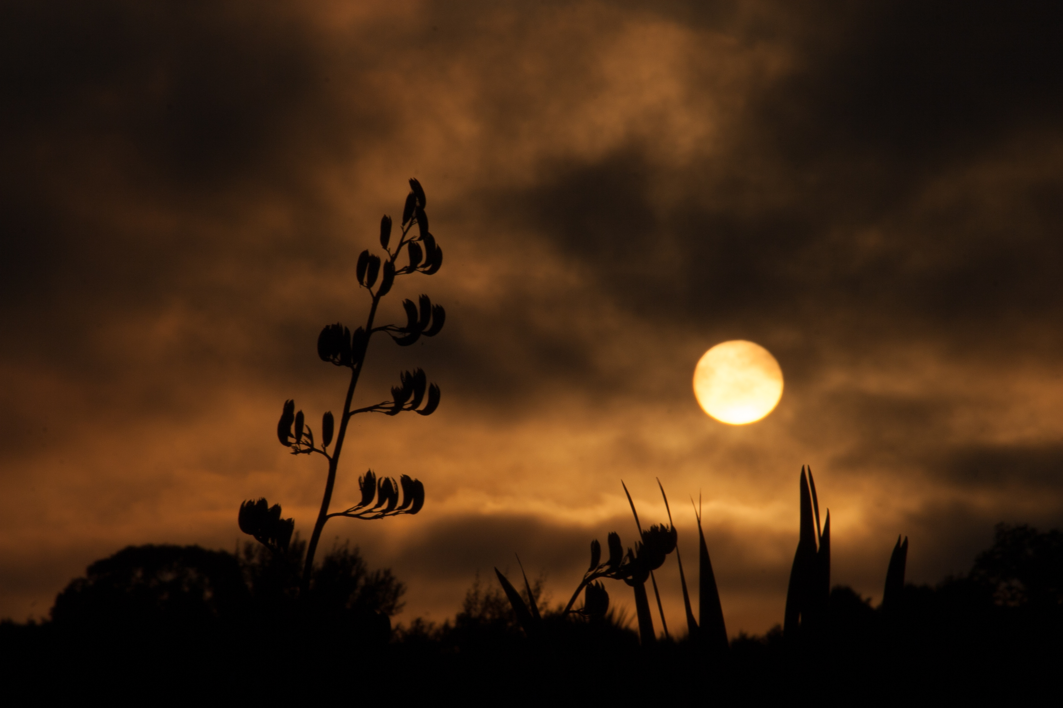
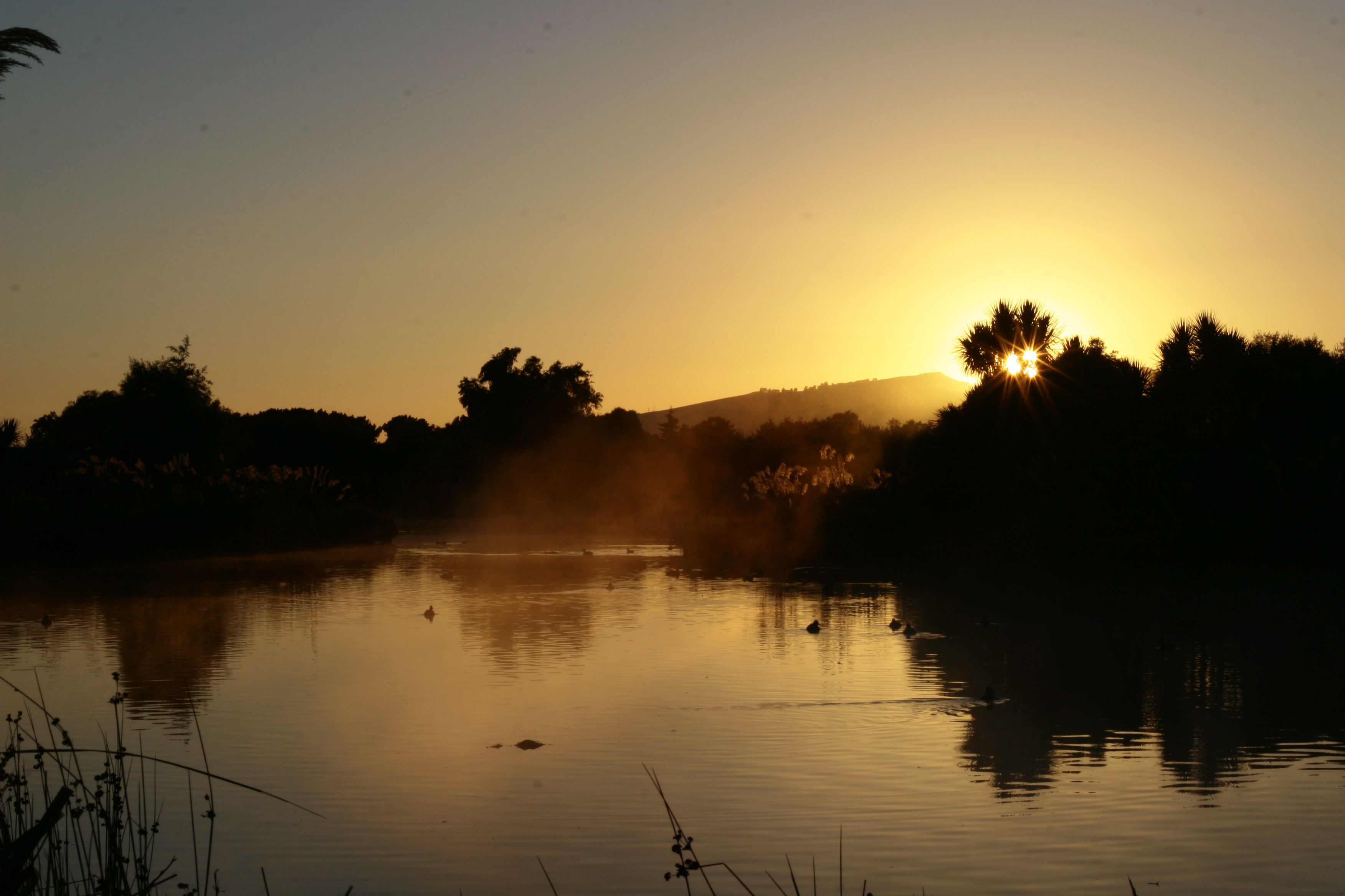
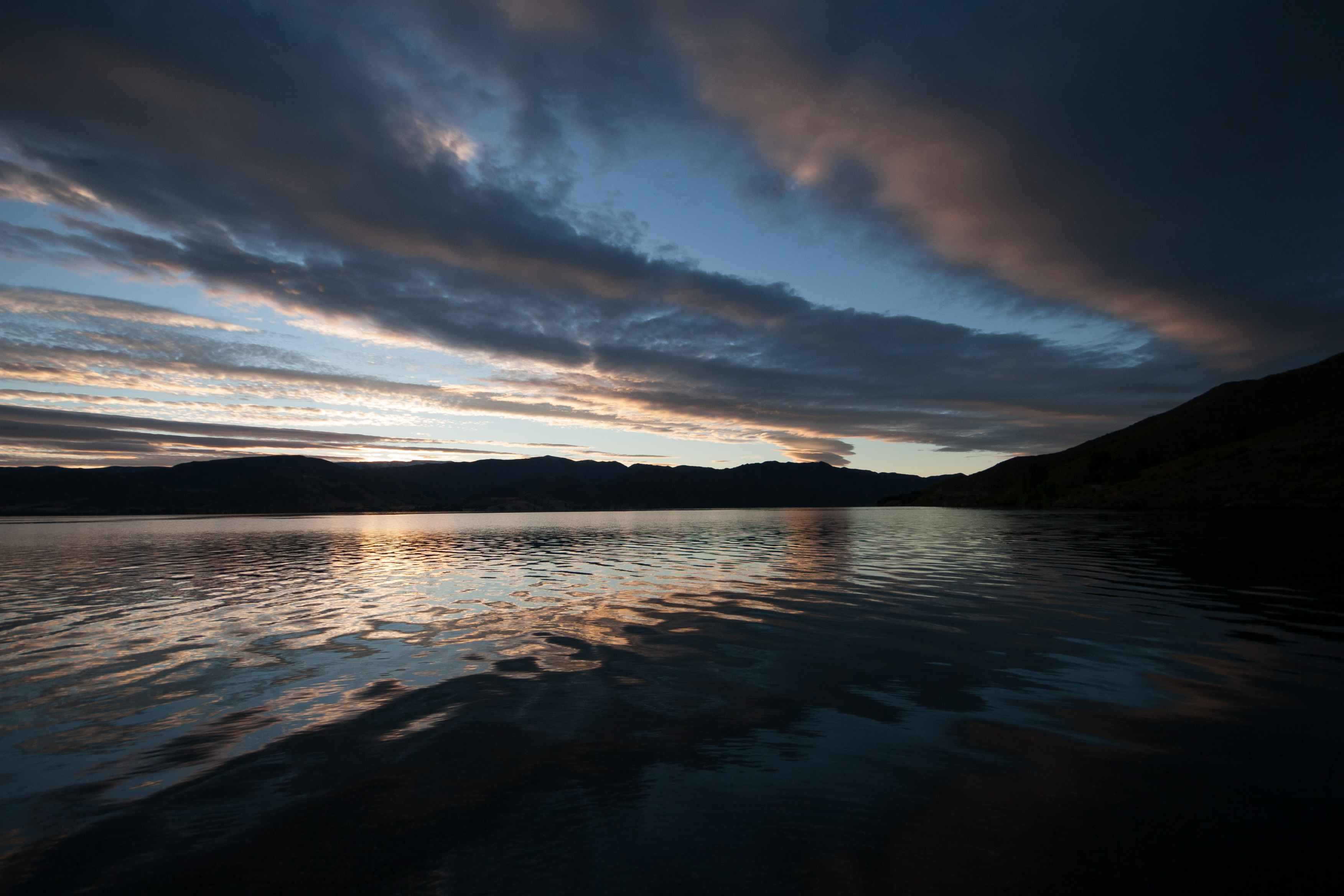
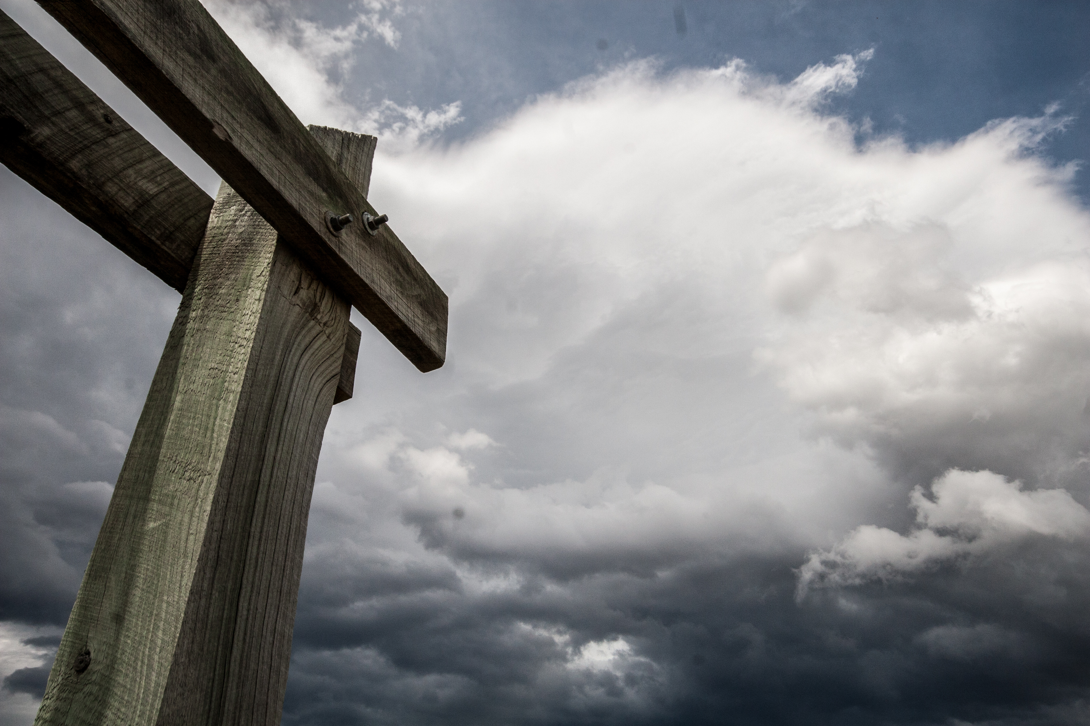
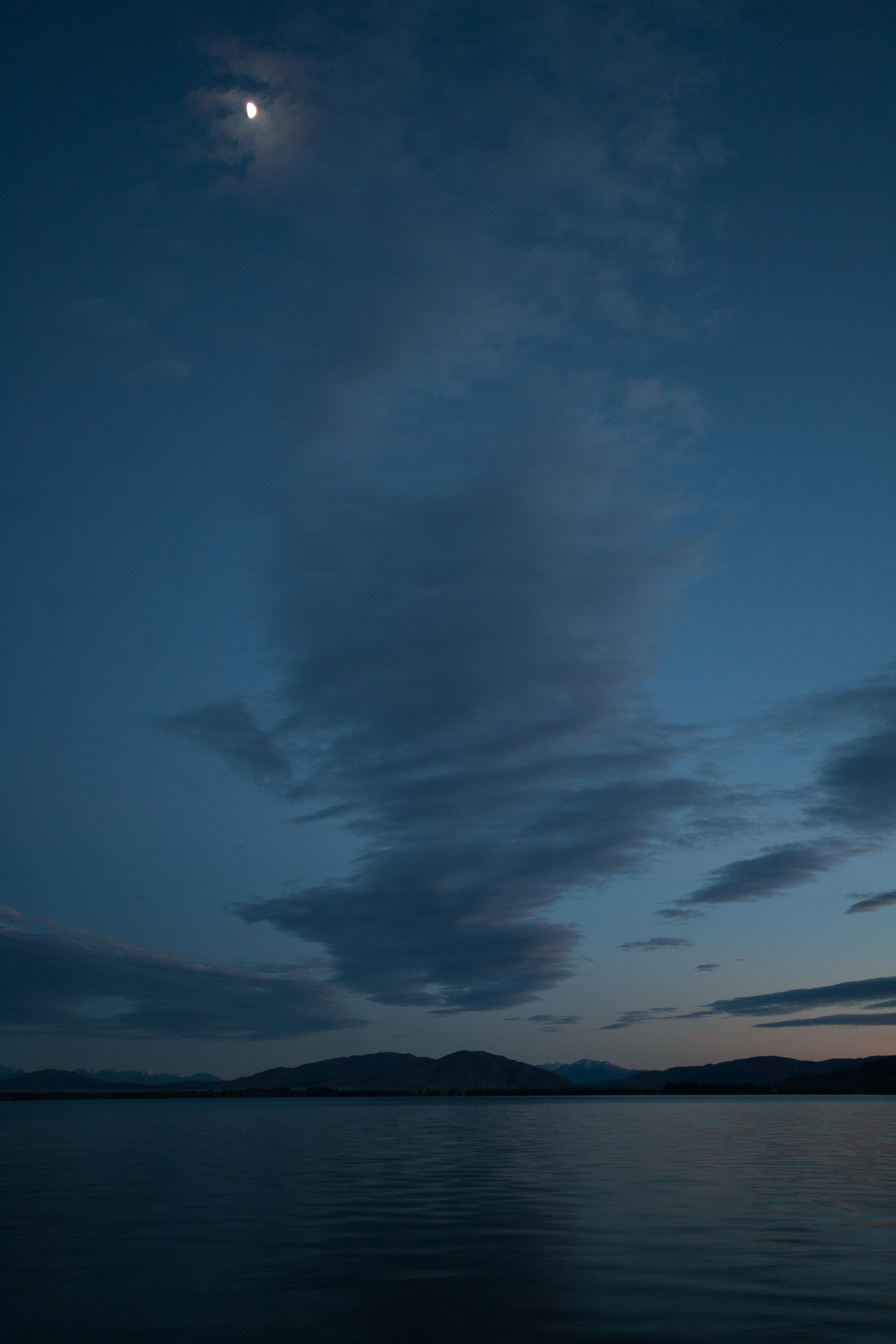
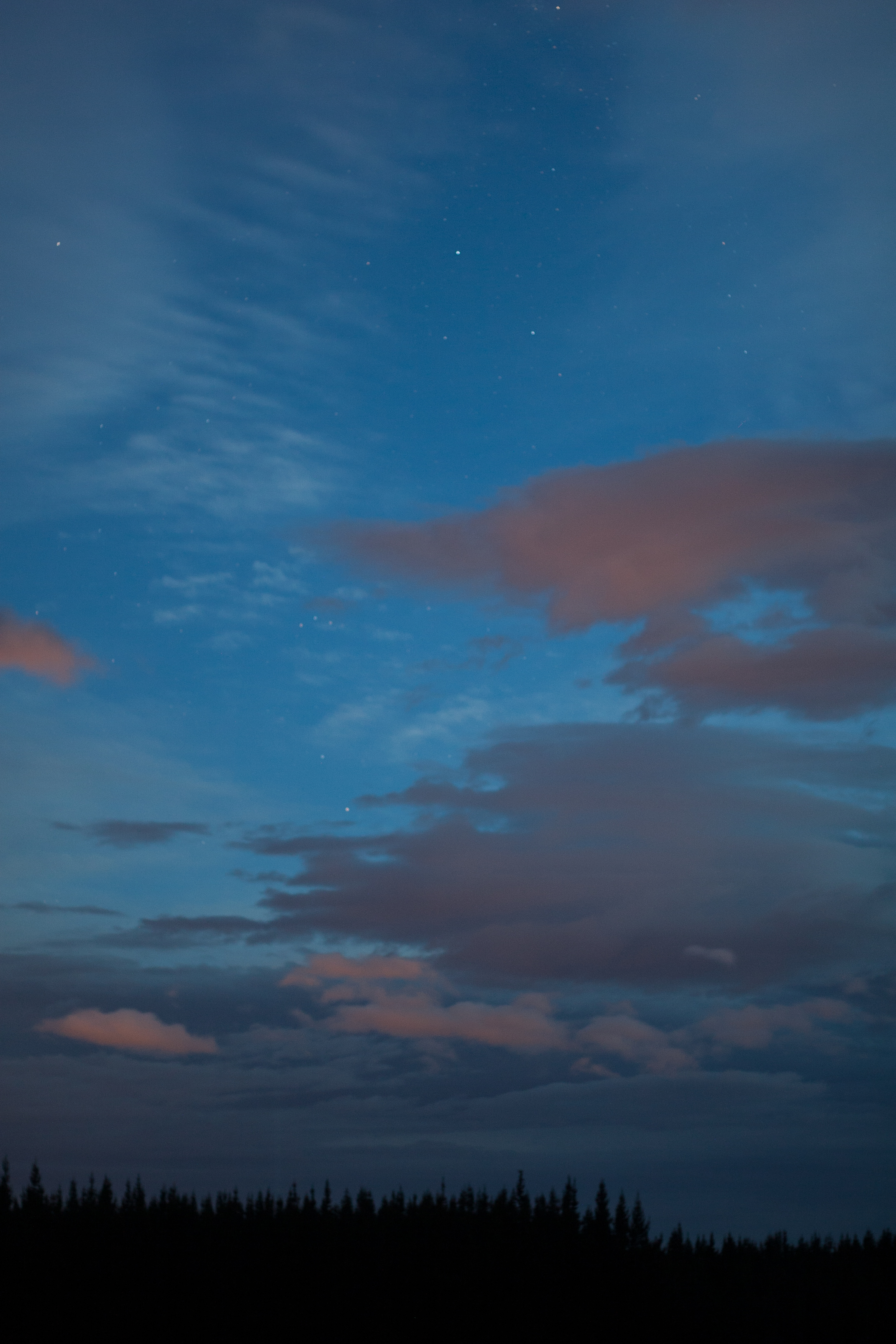
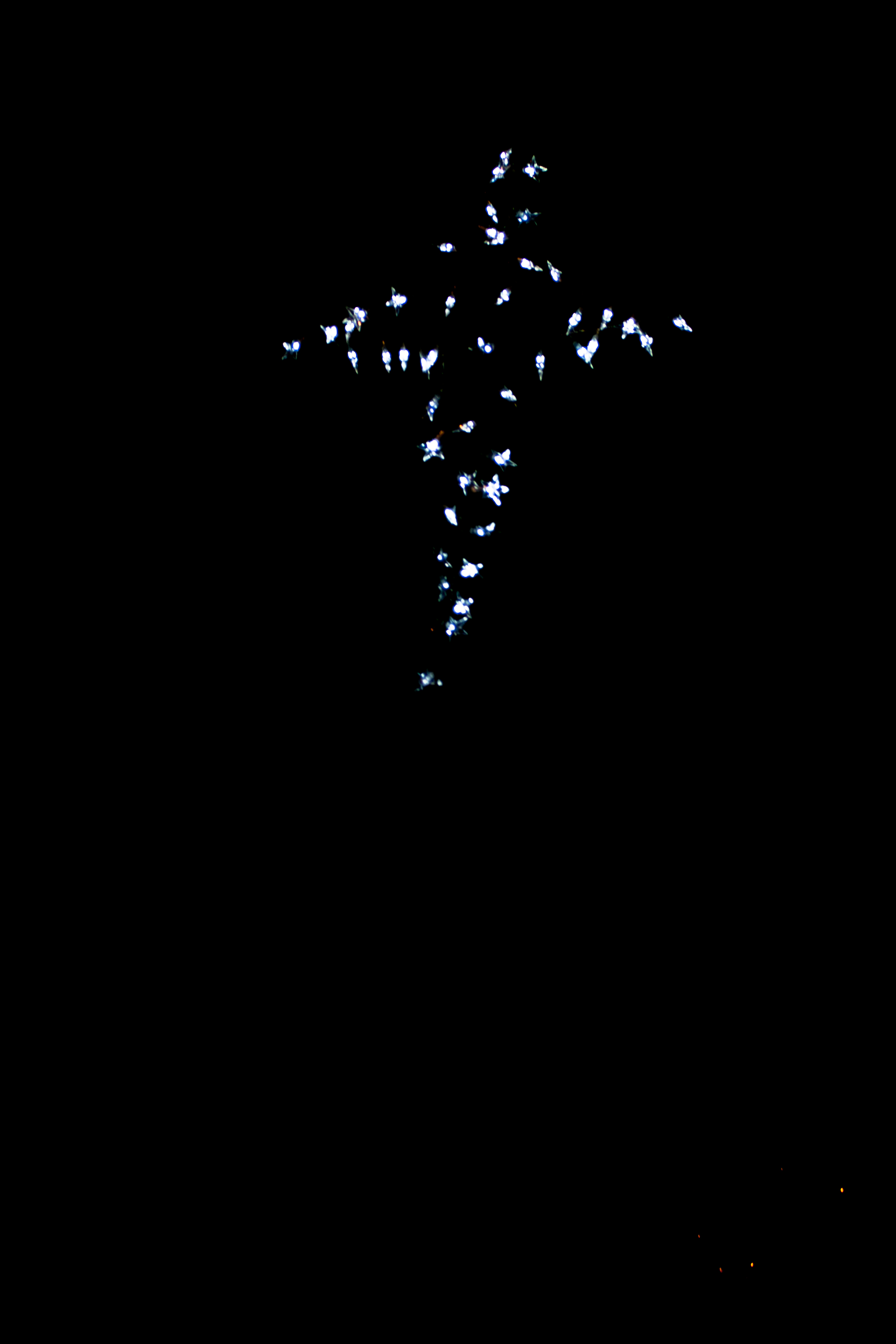
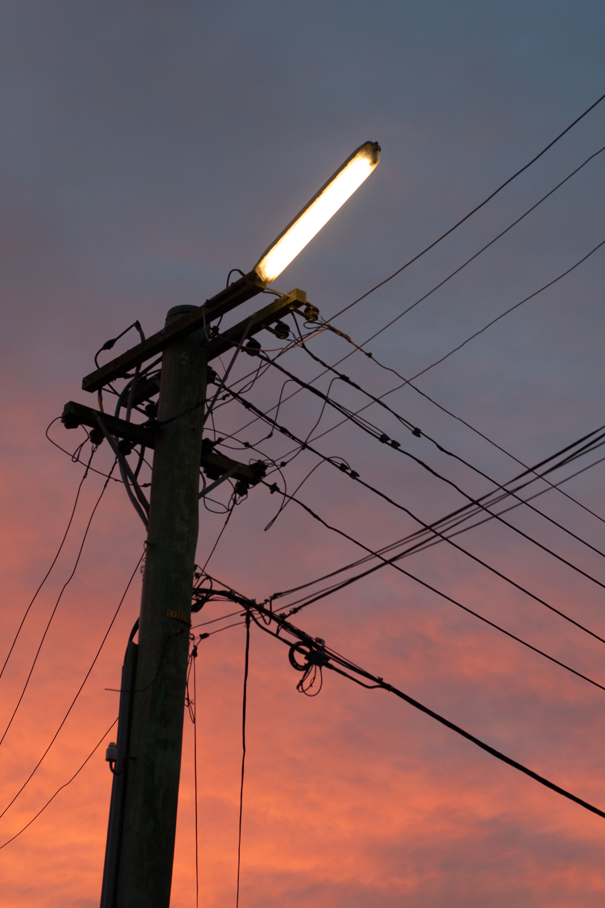
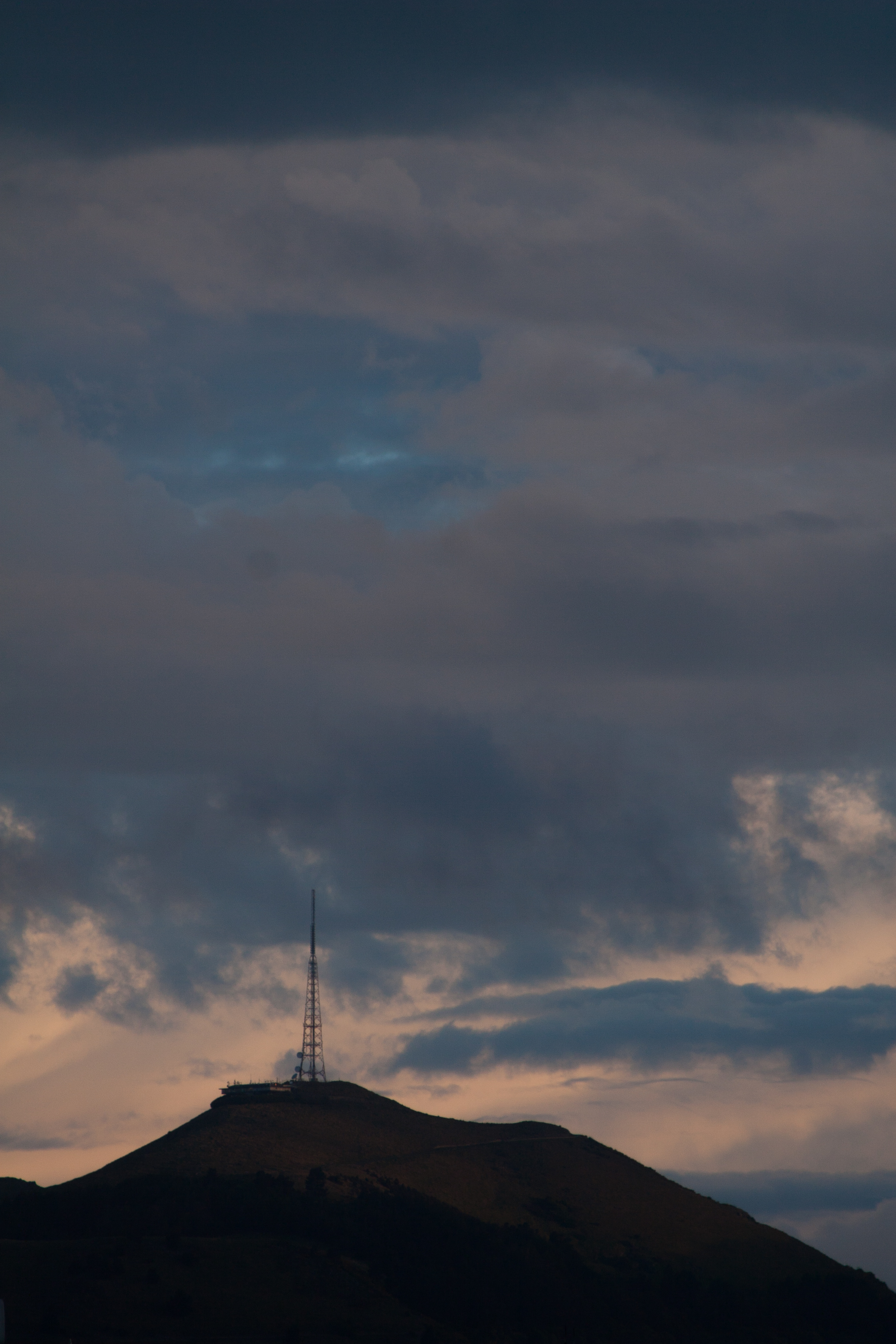
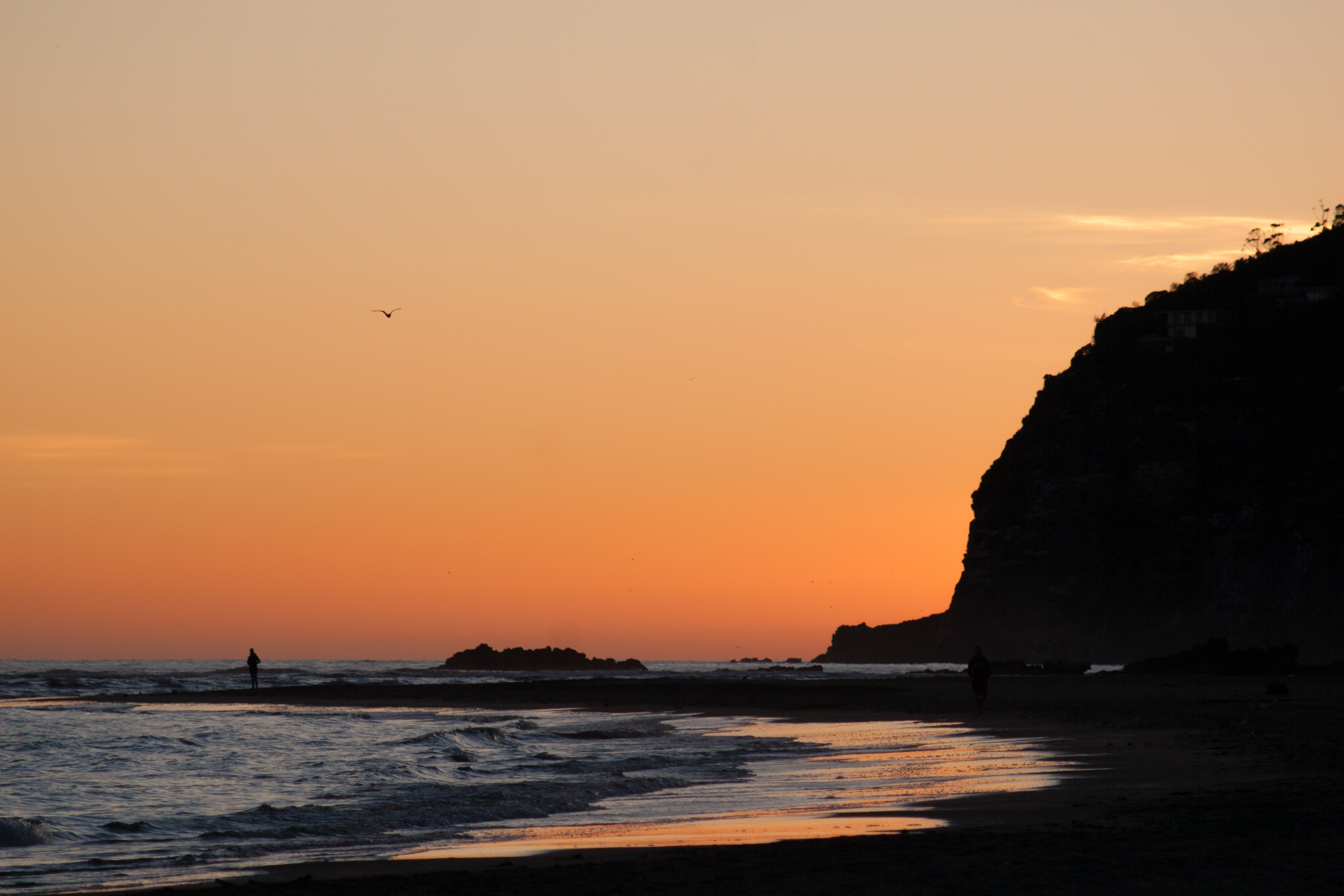
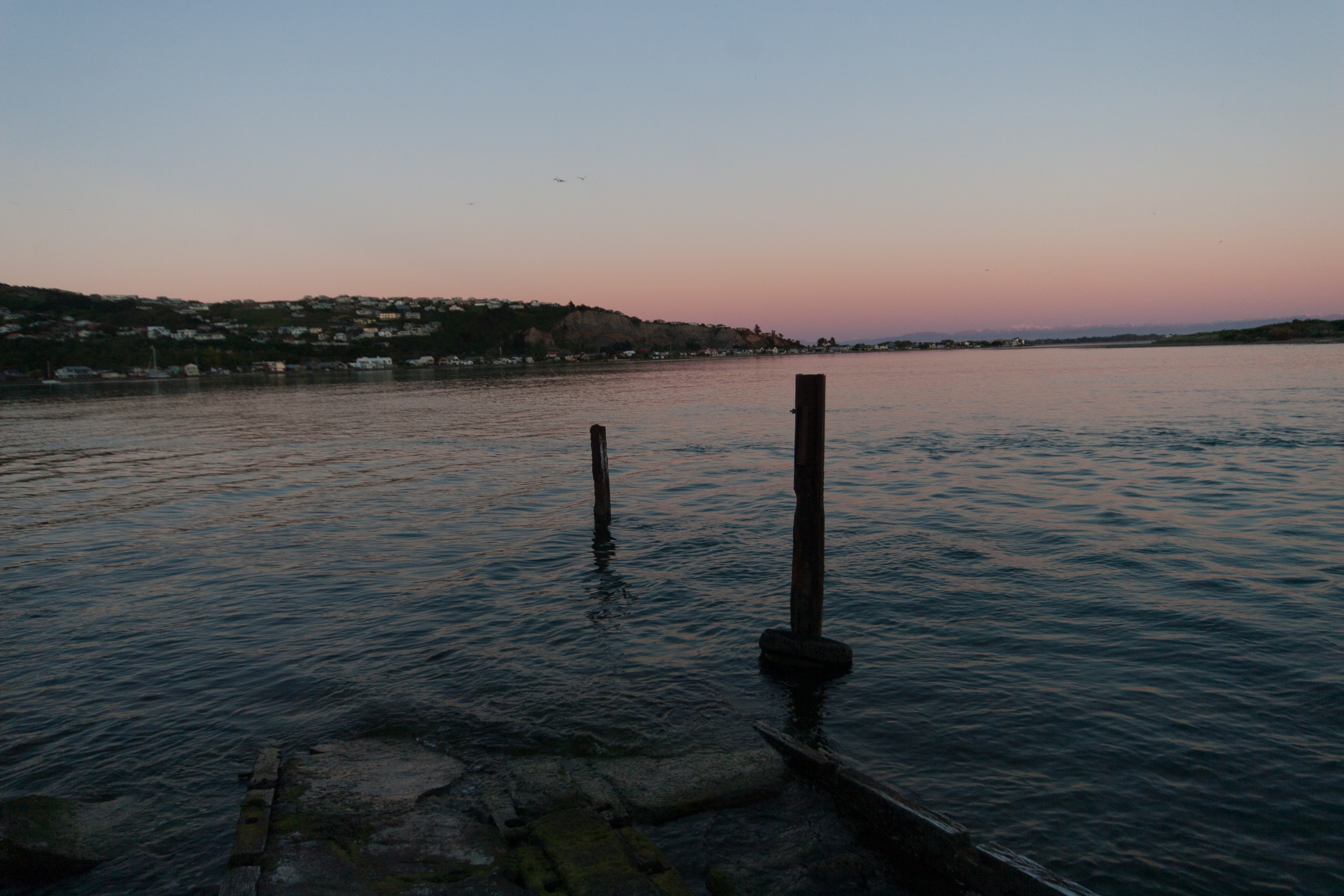
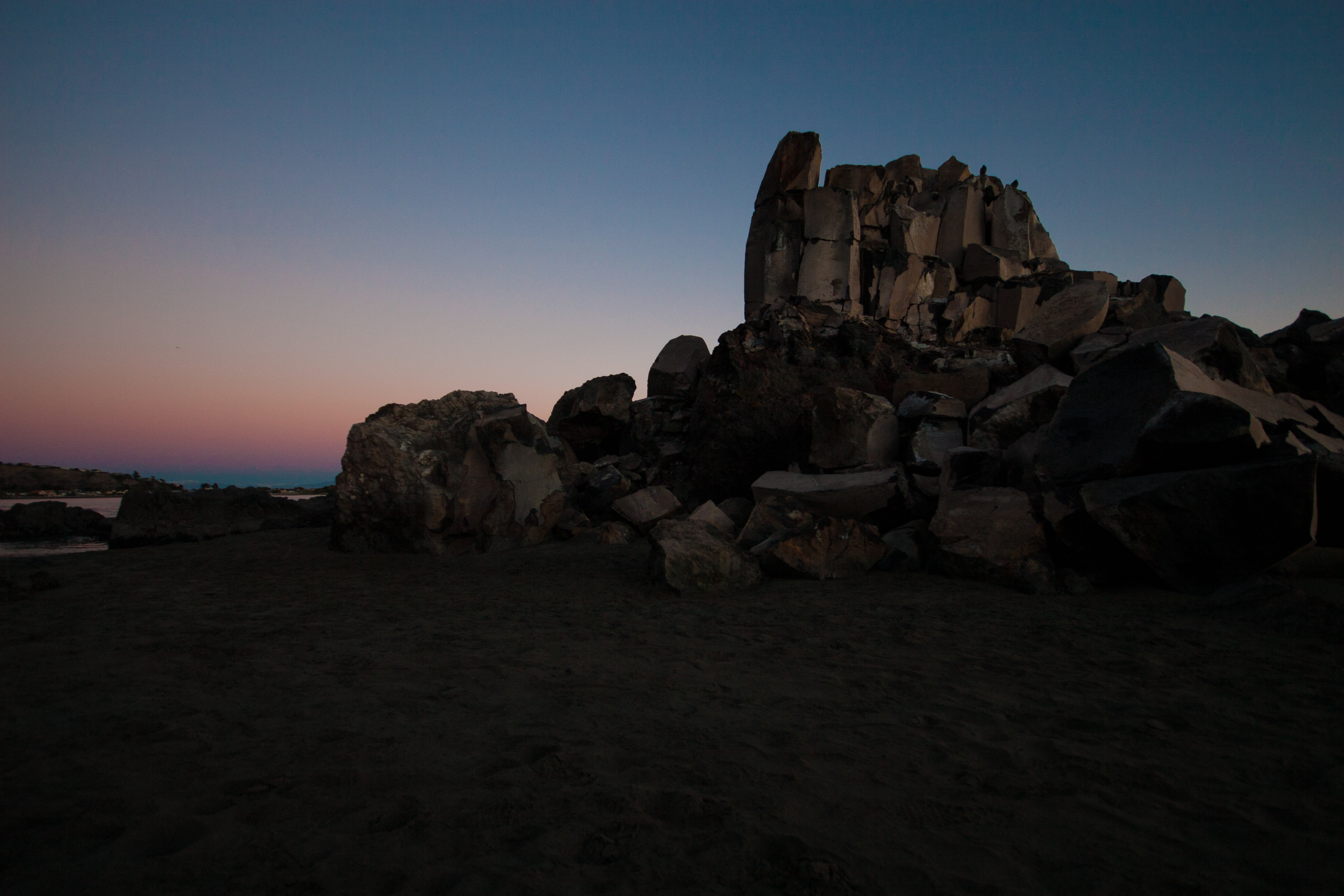
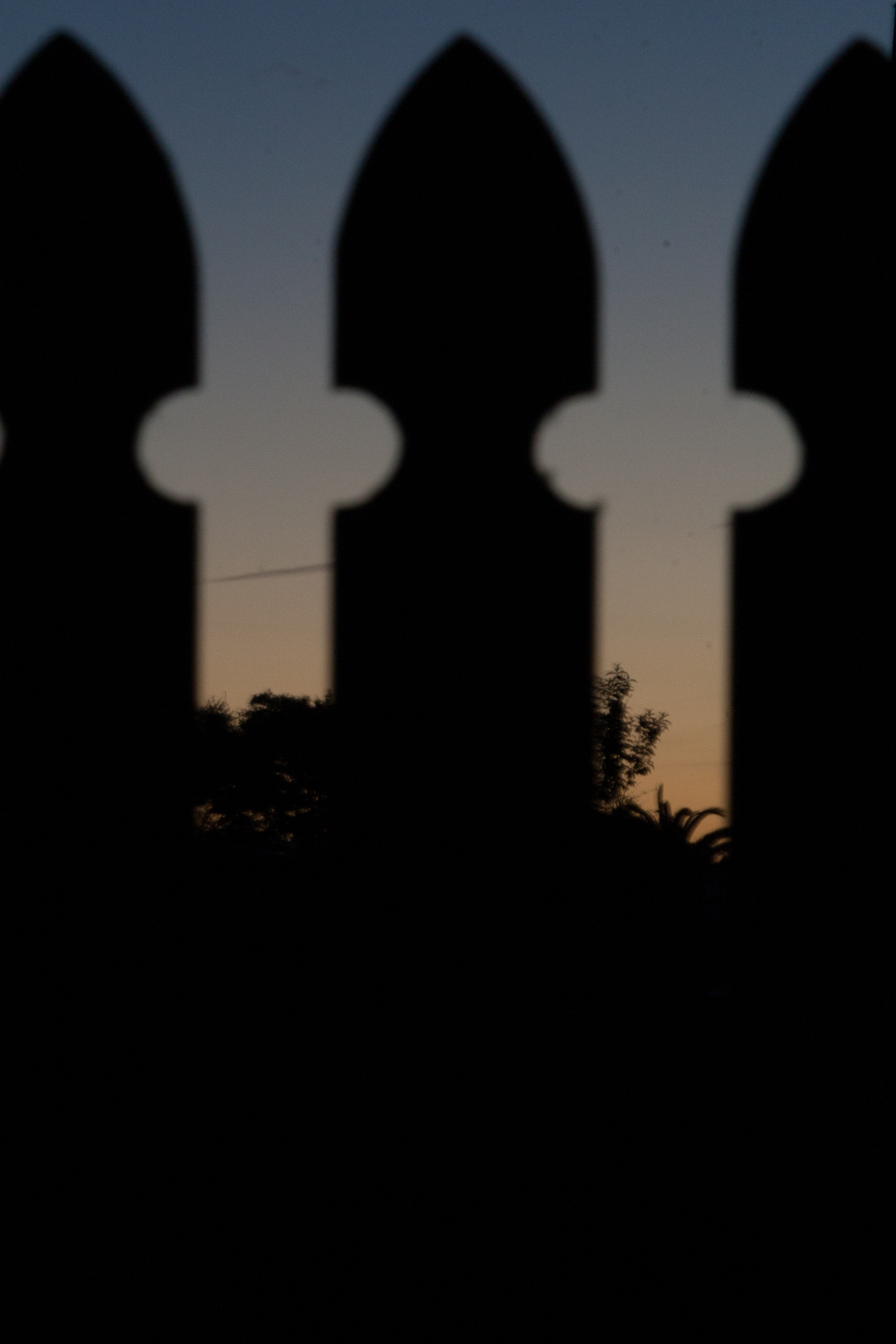
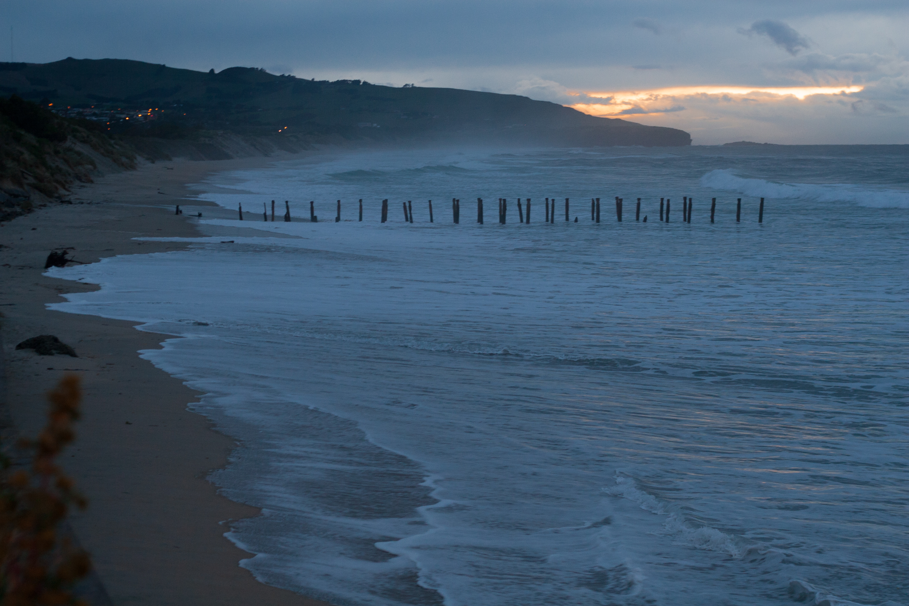
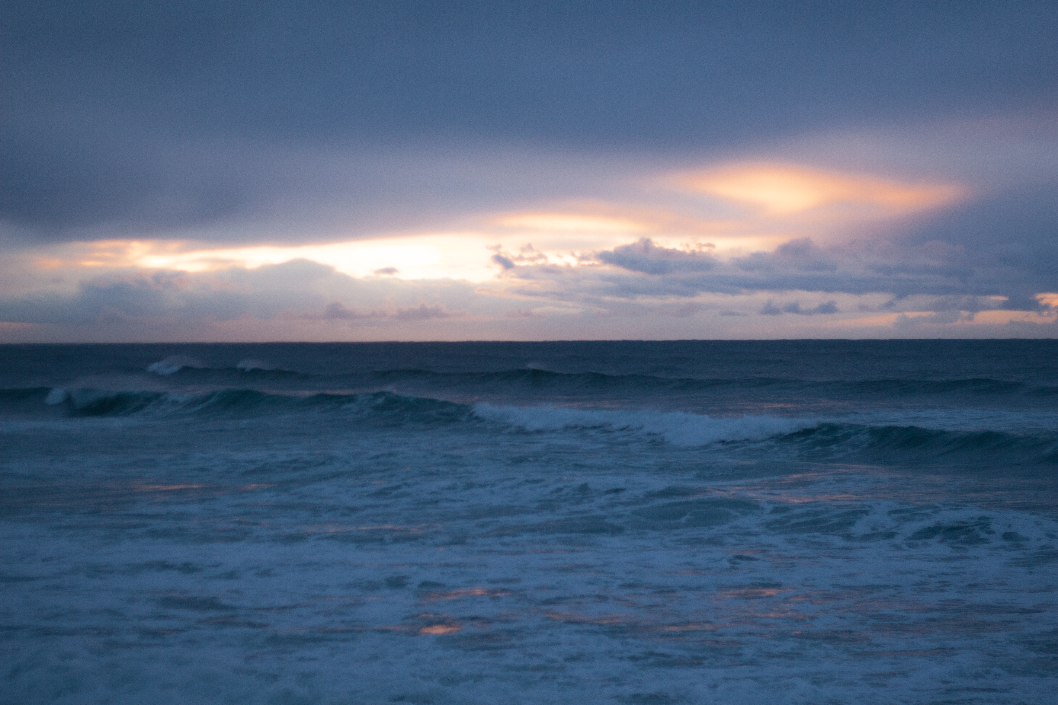
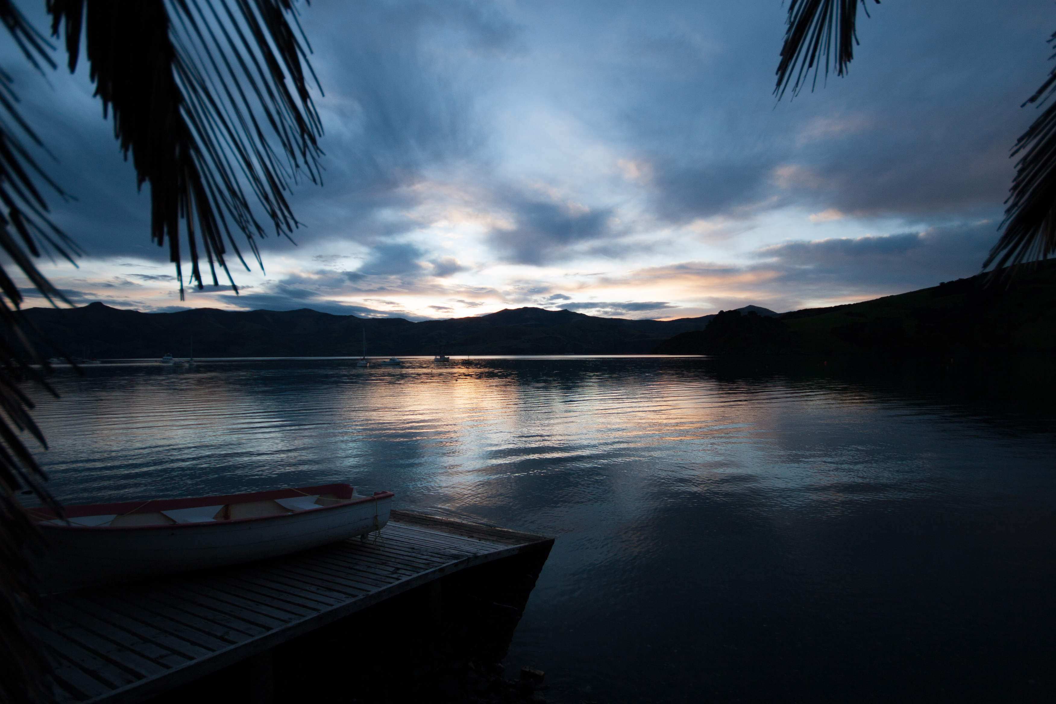
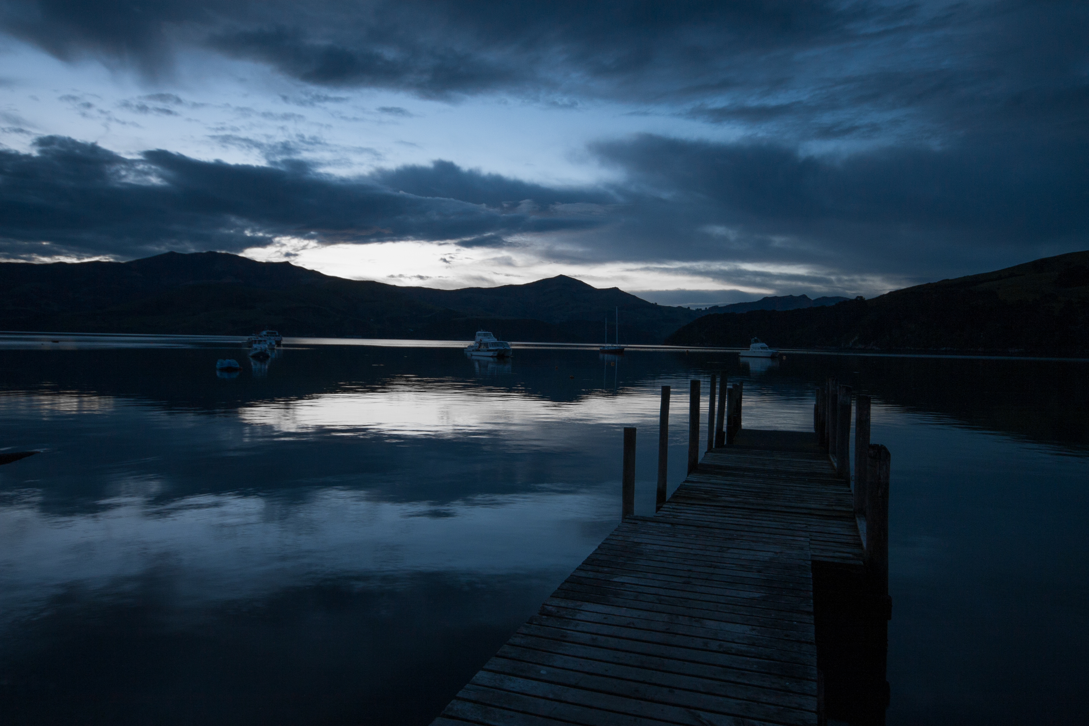
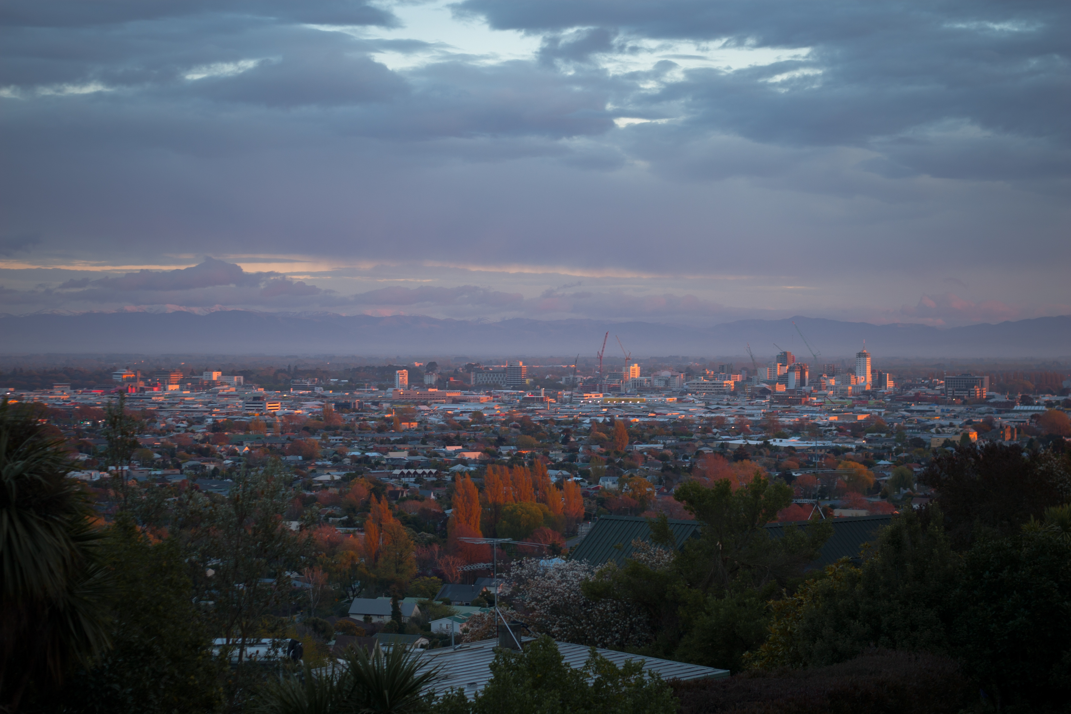
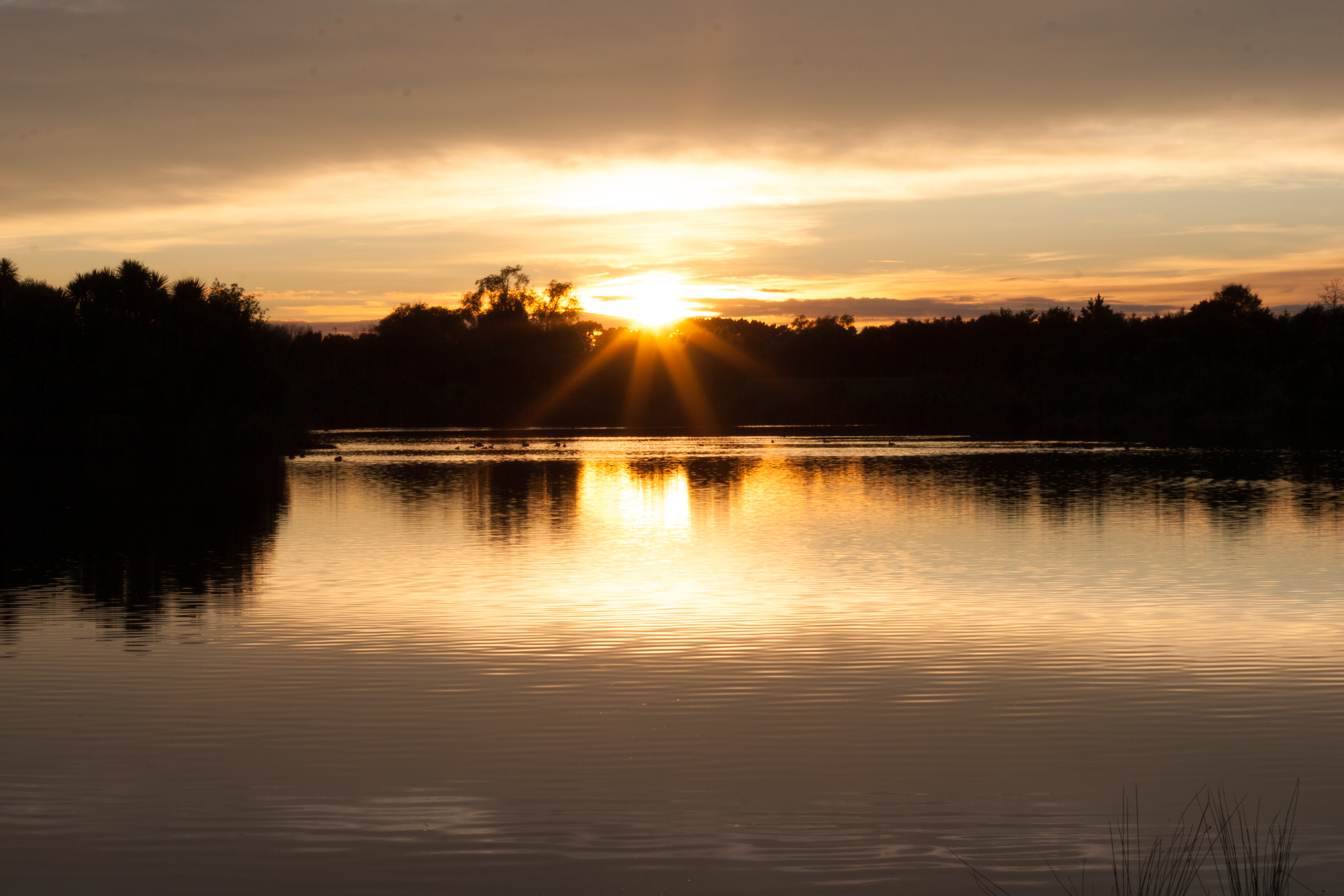
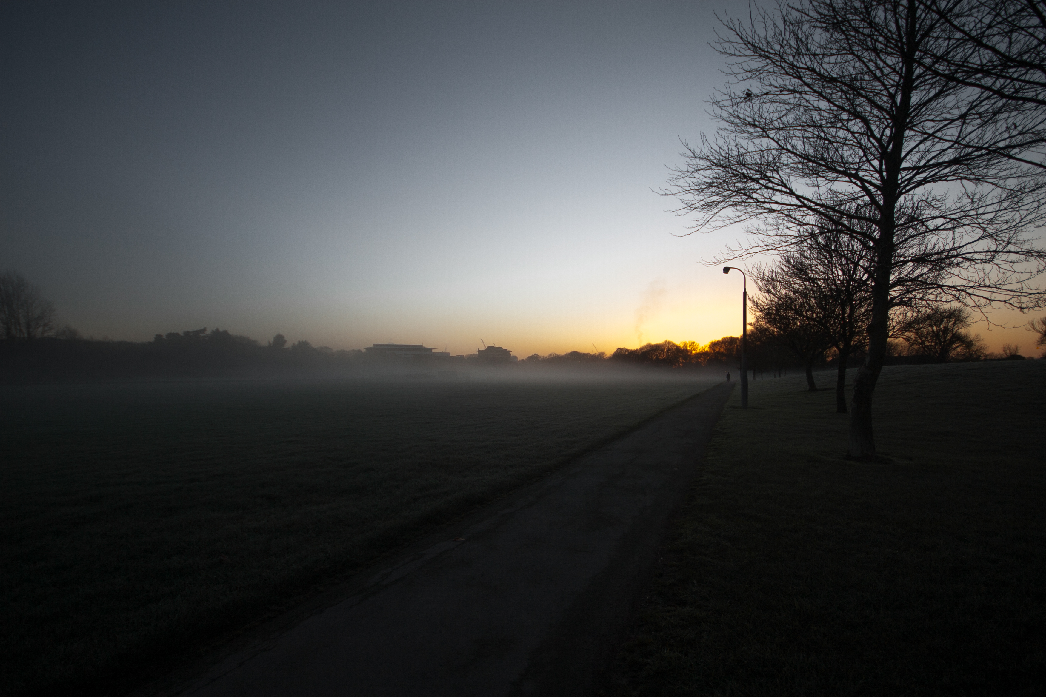
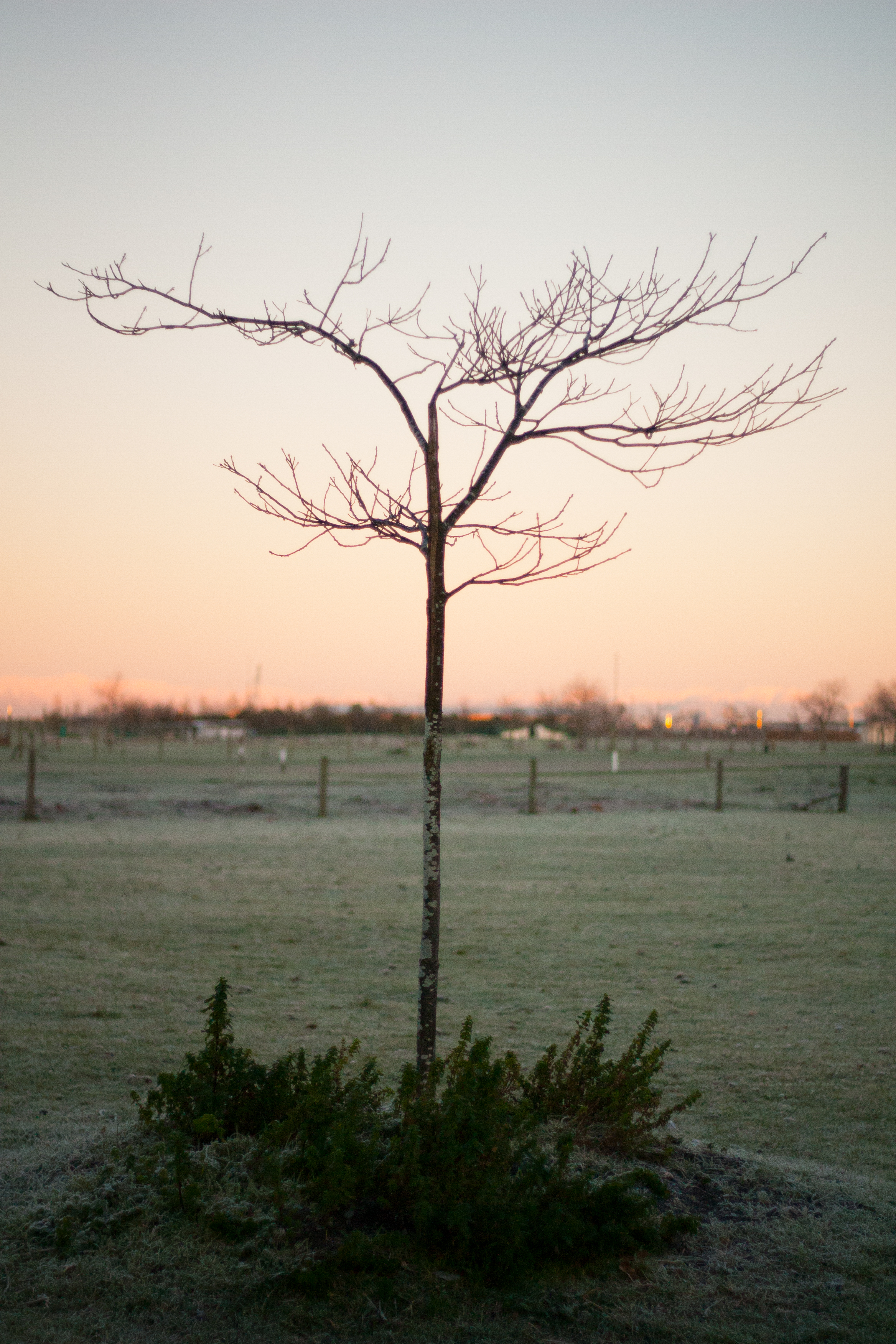
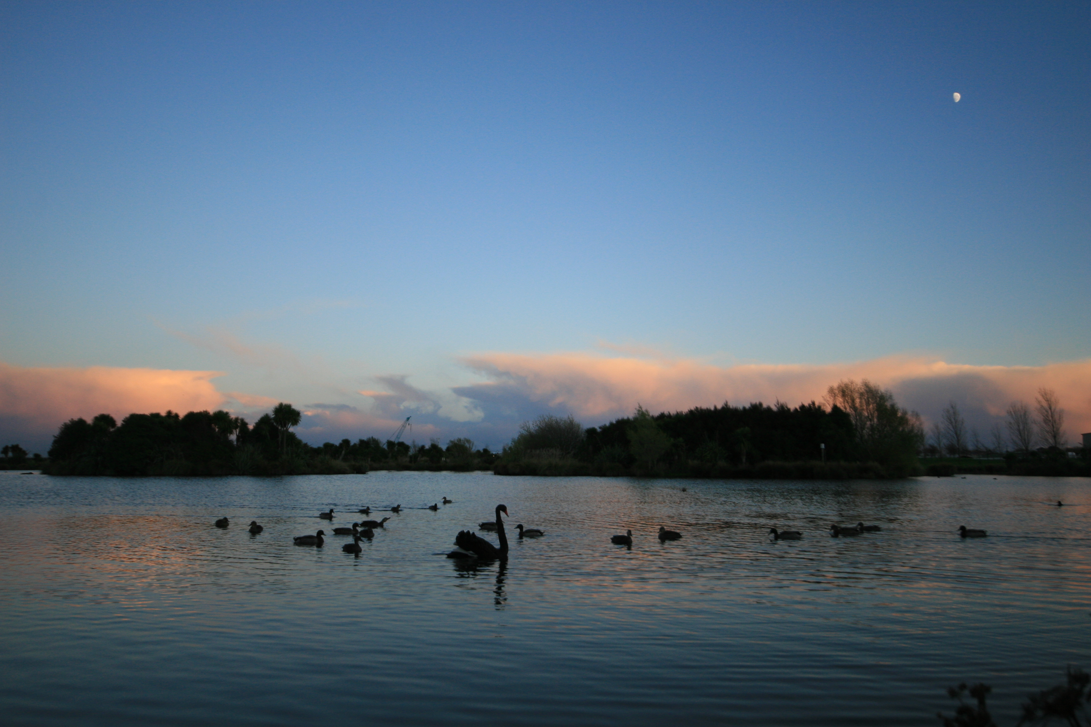
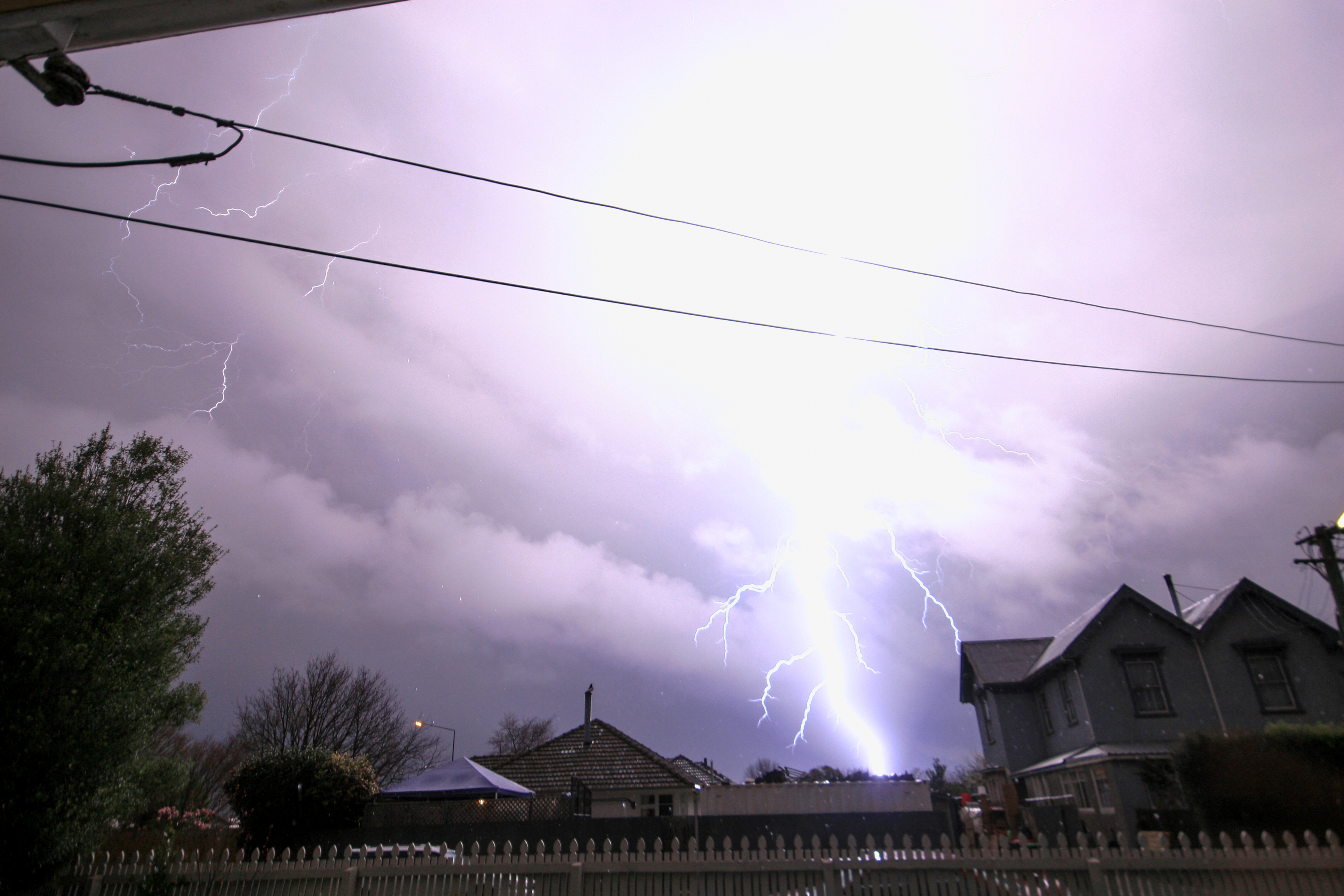
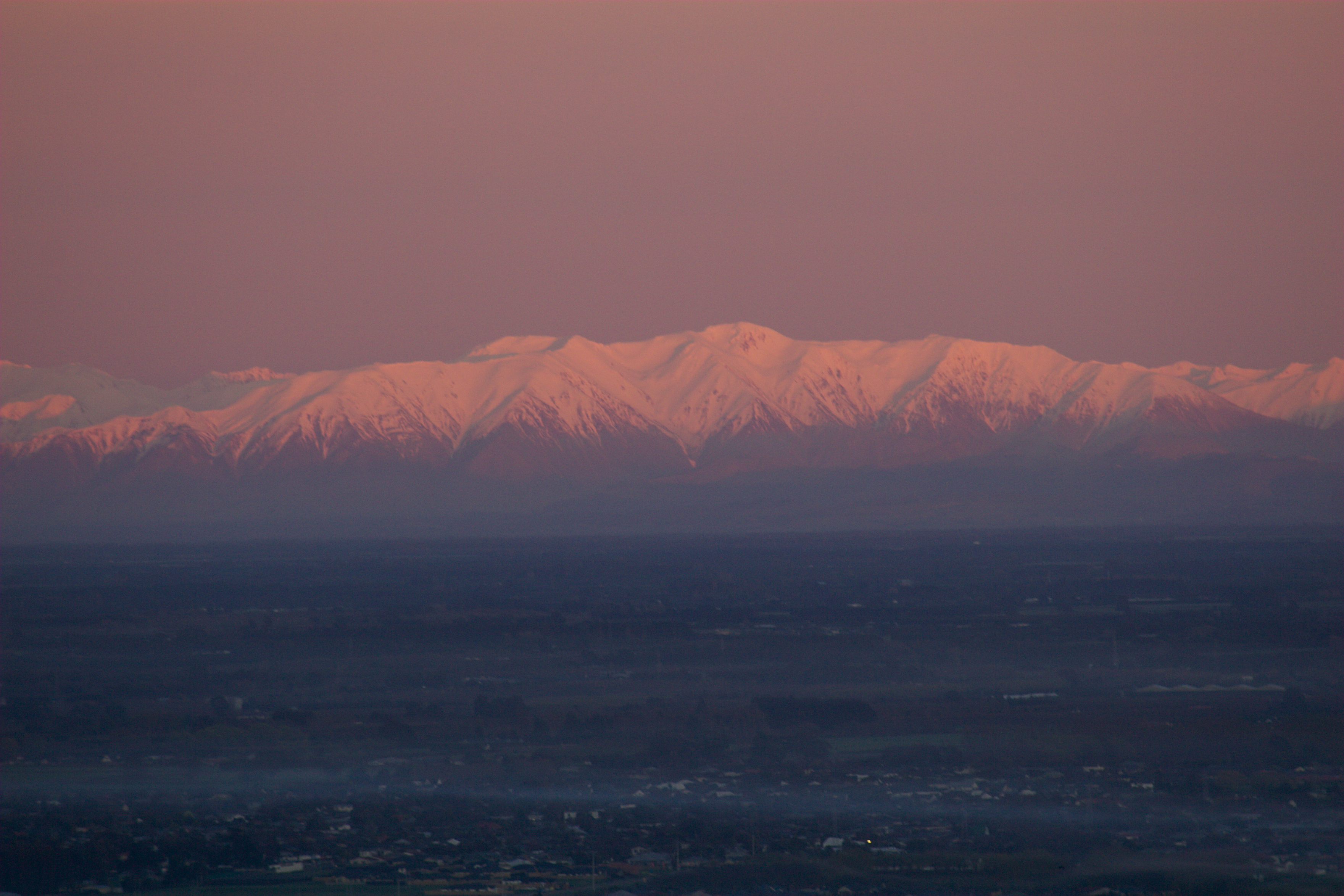
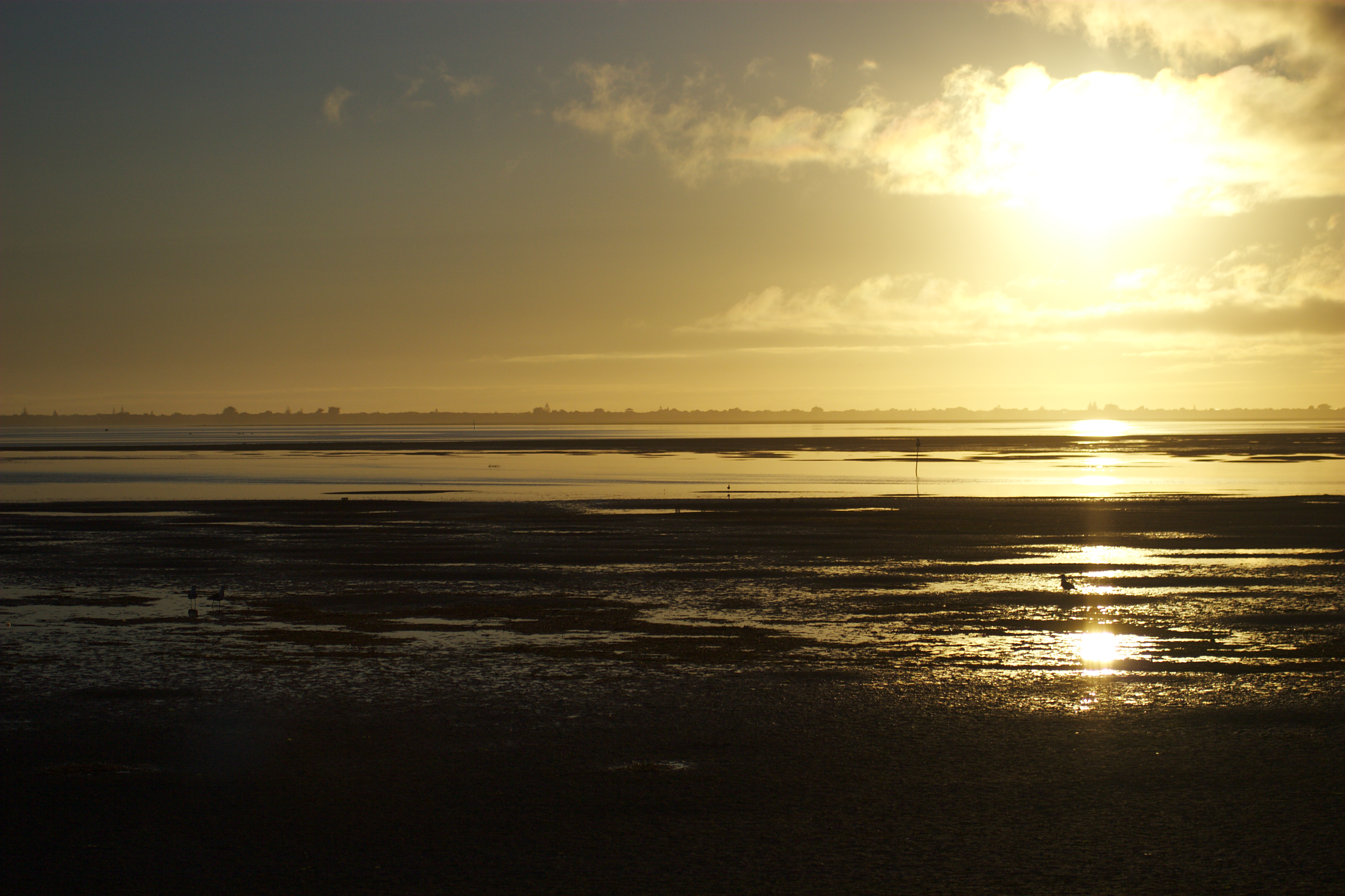
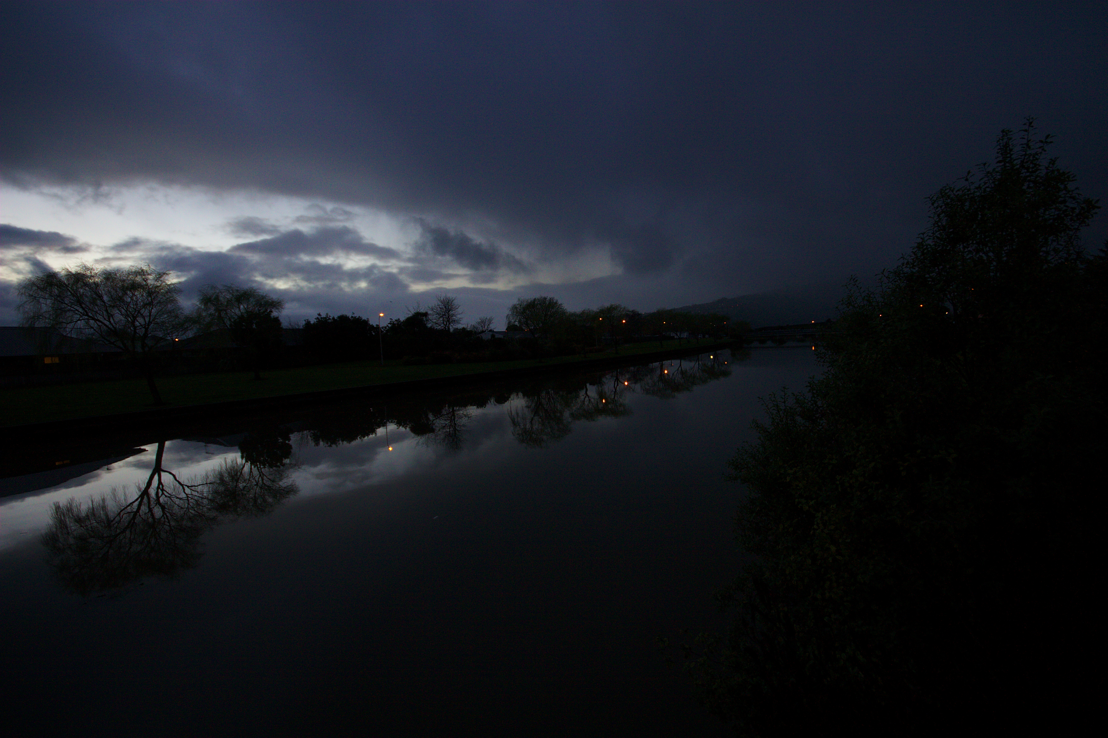
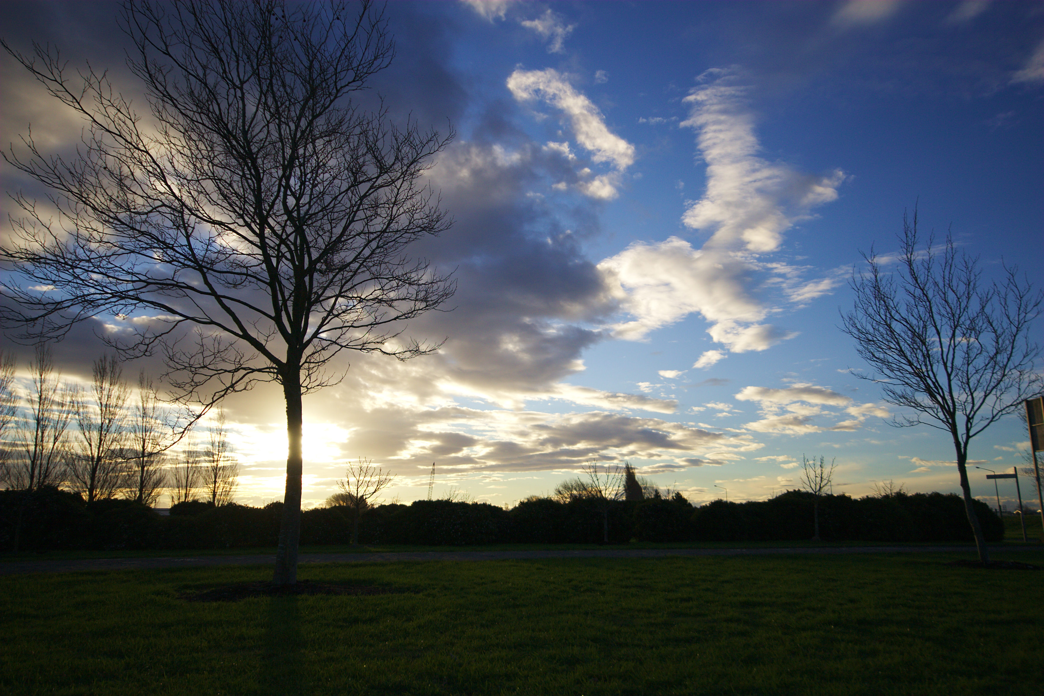
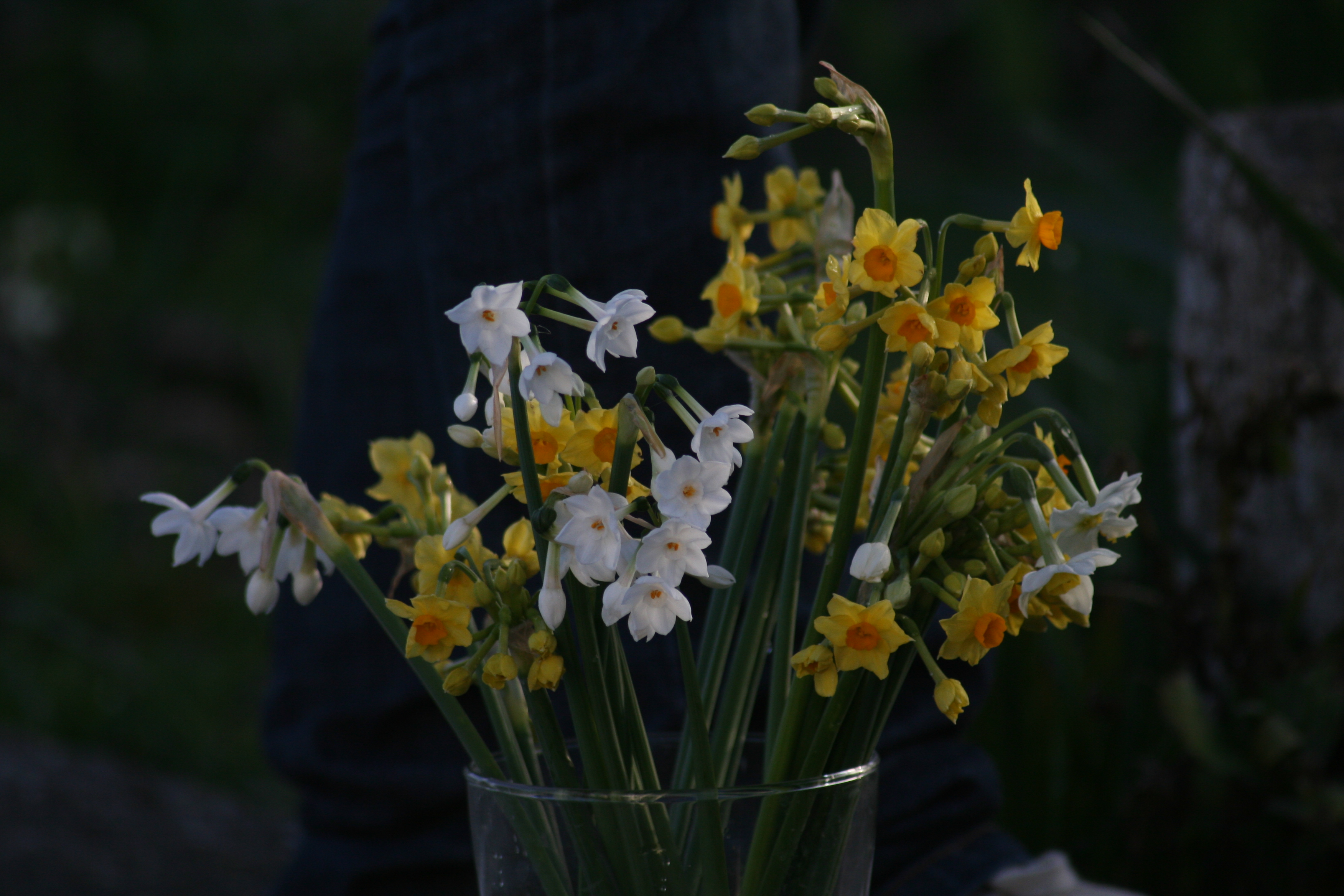
at the going down of the sun
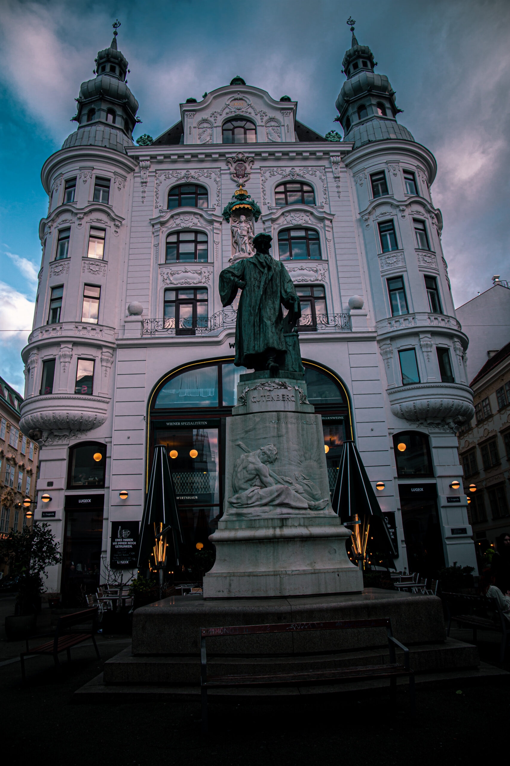
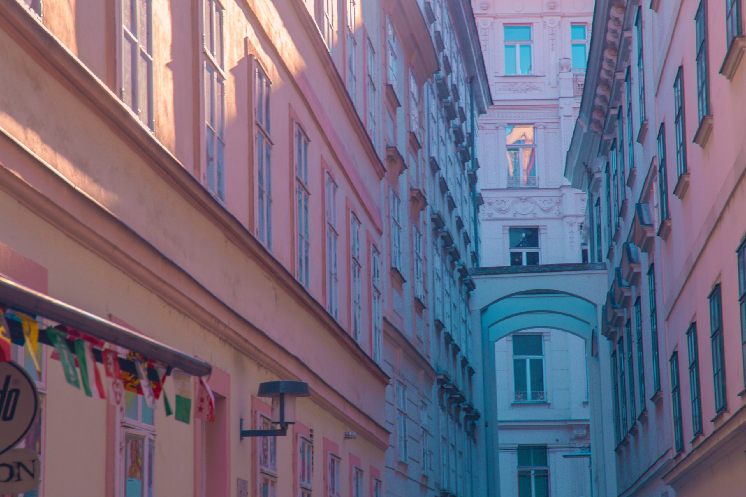
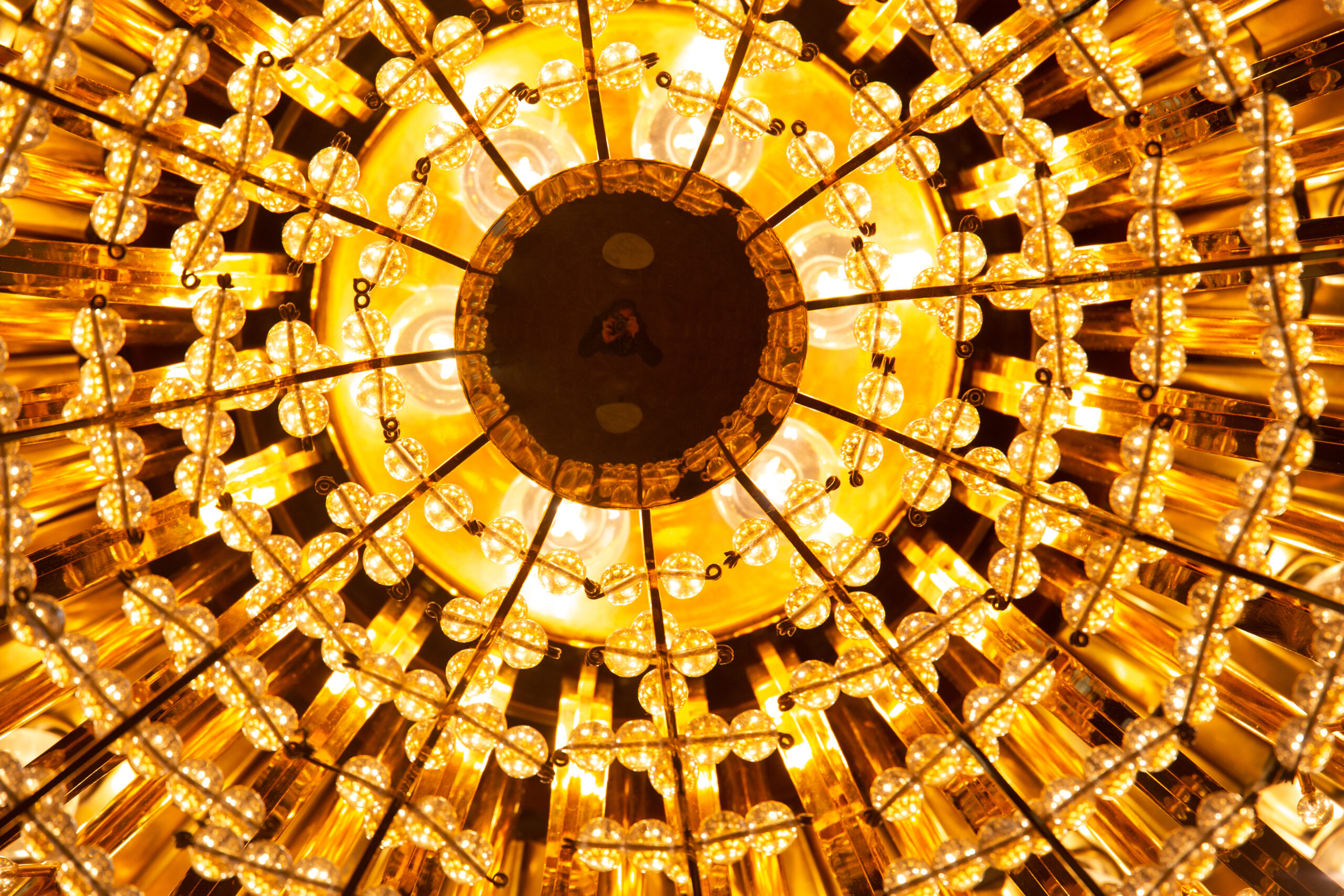
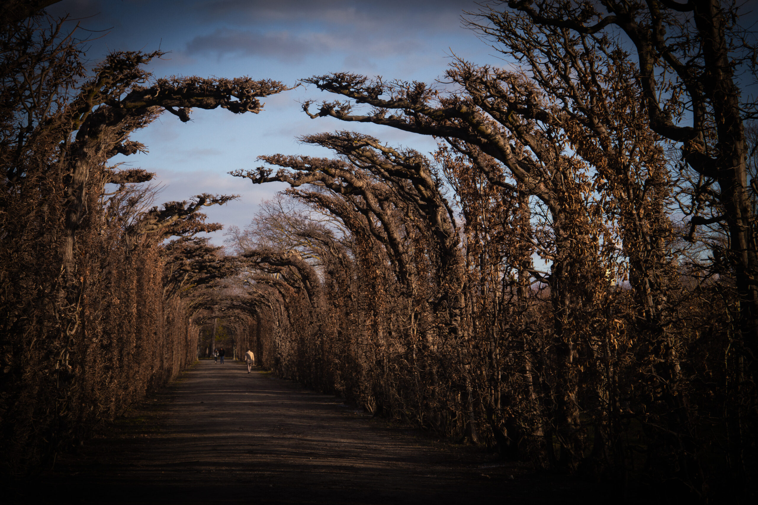
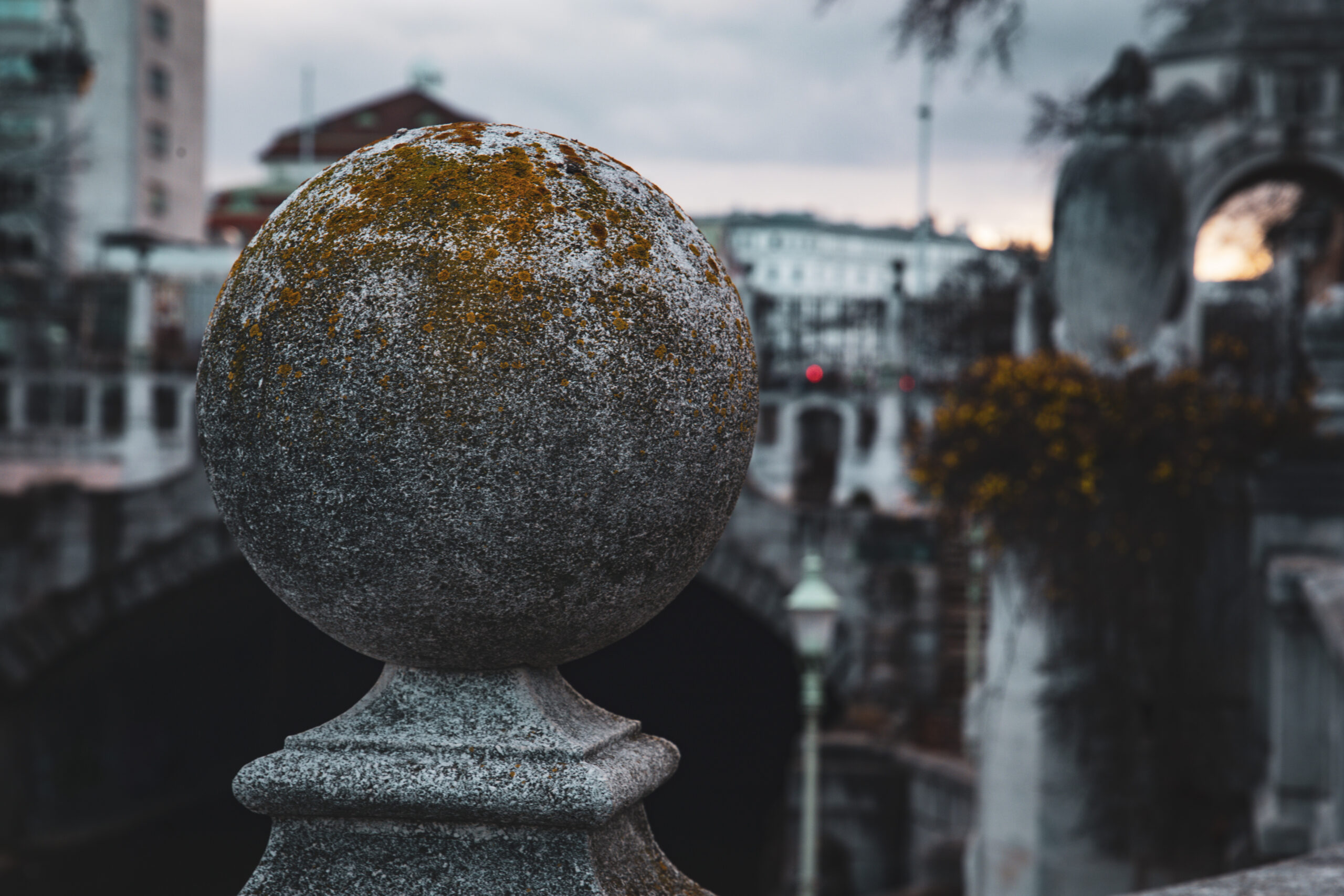
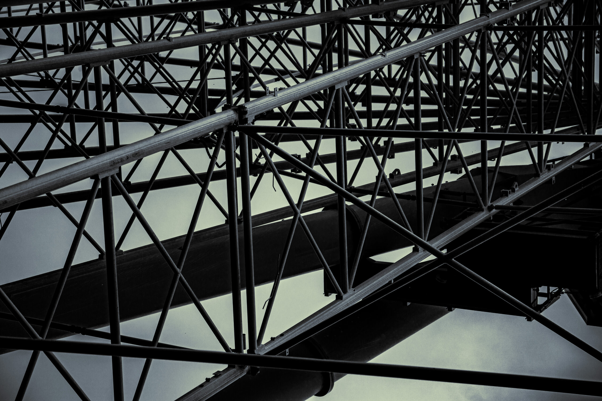
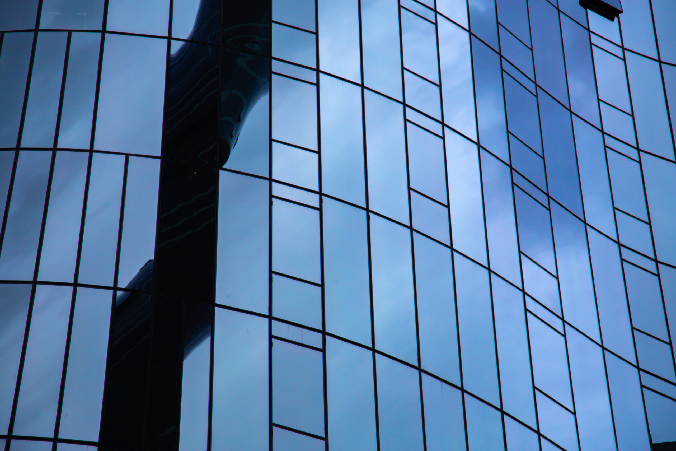
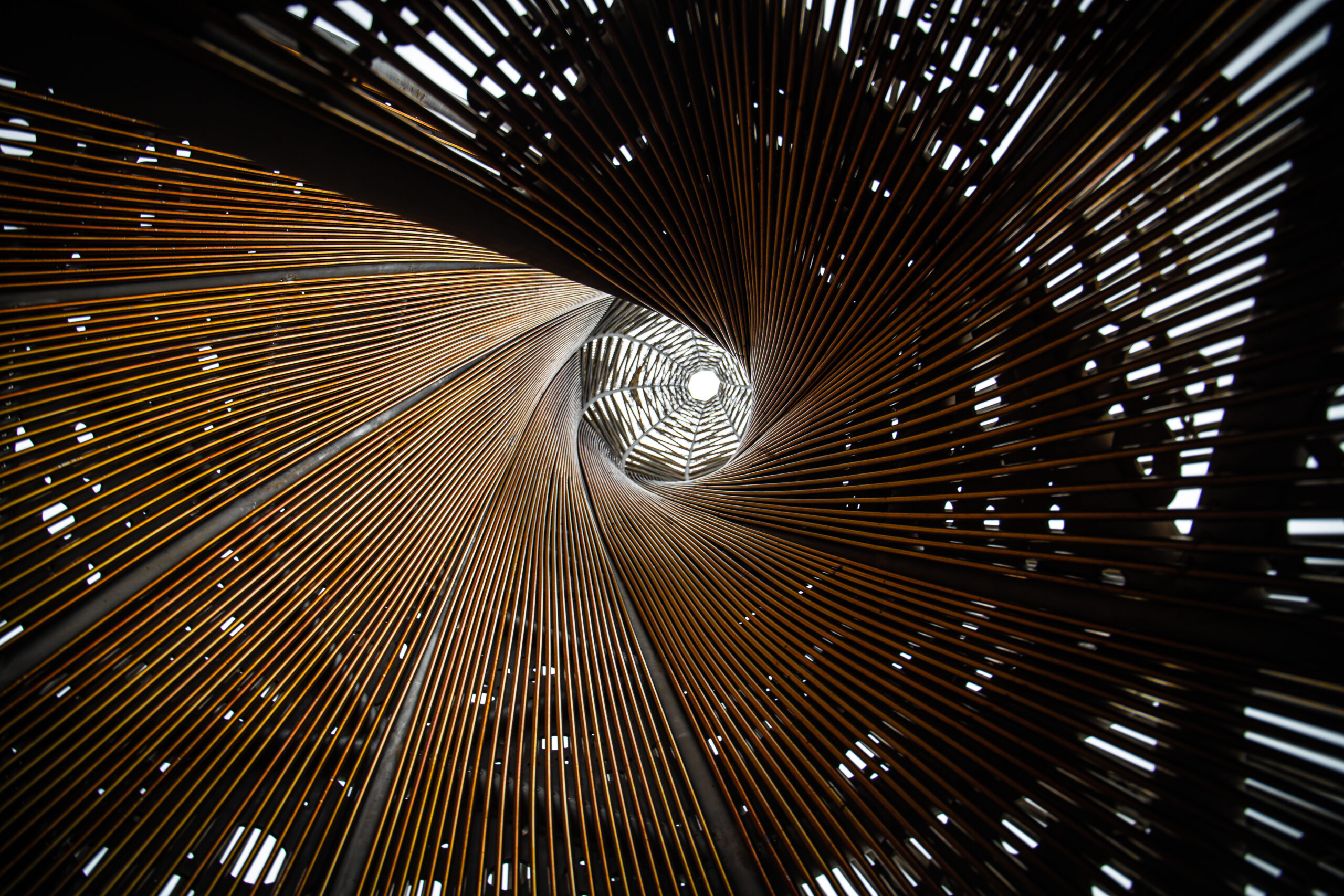
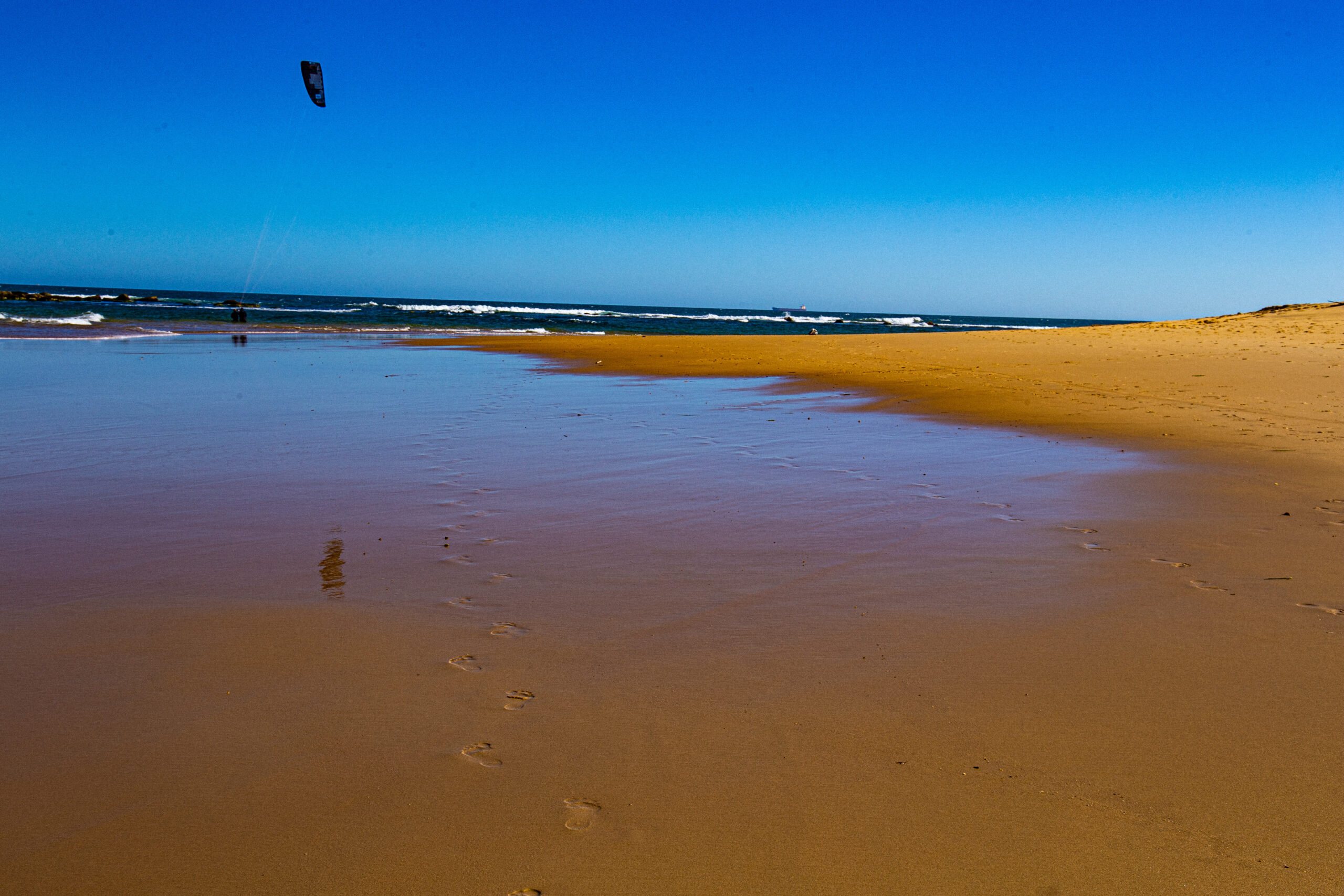
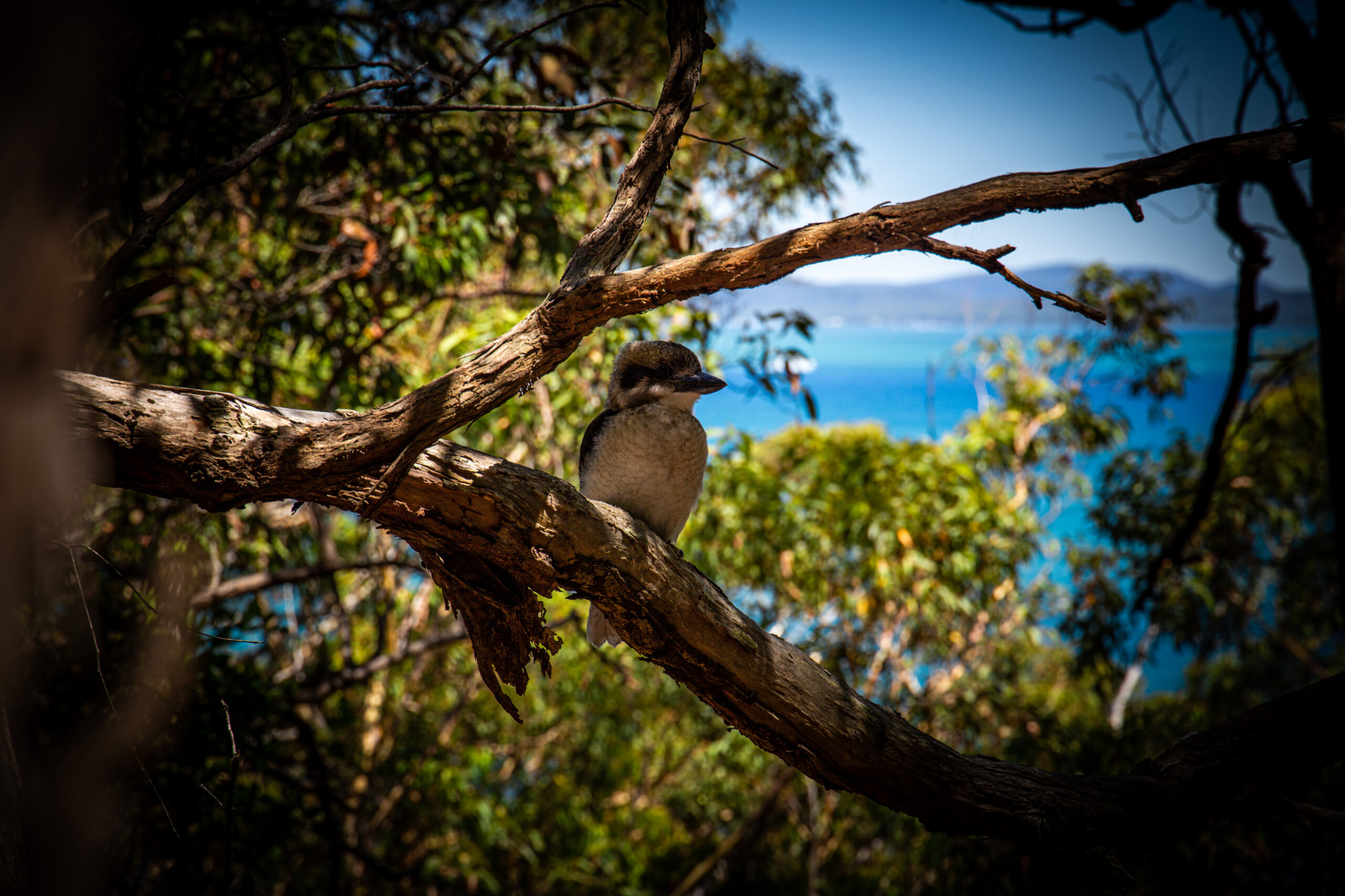
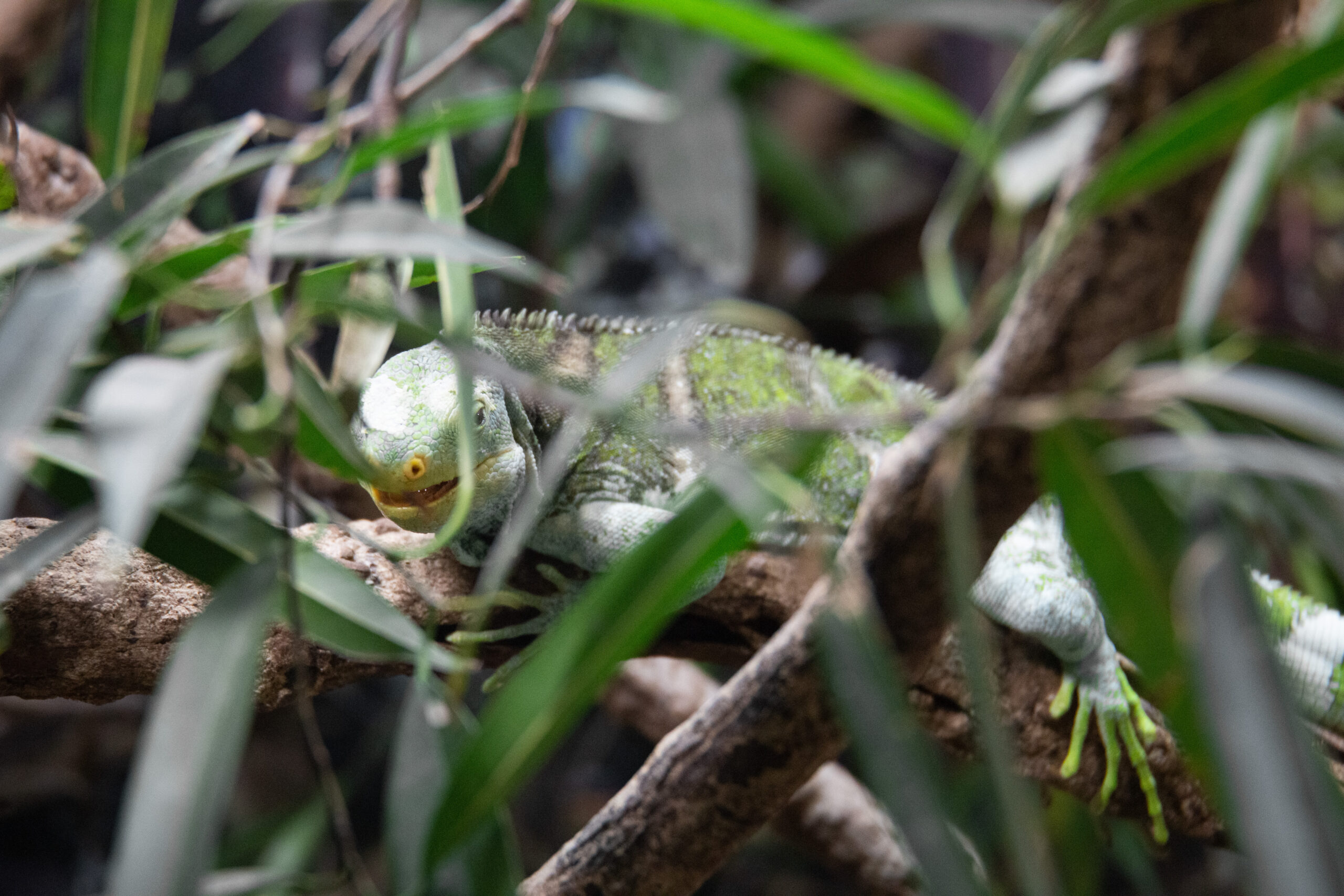
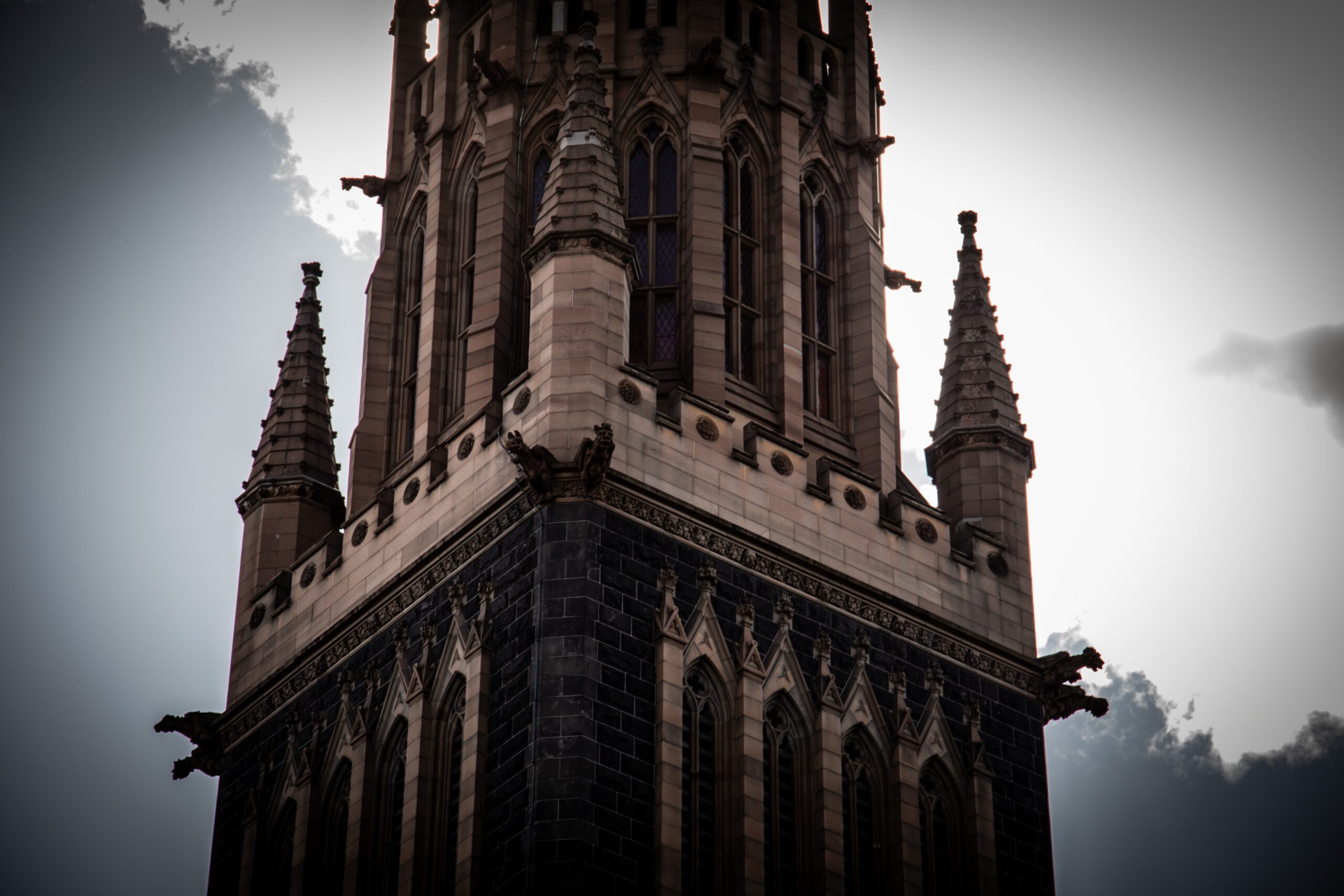
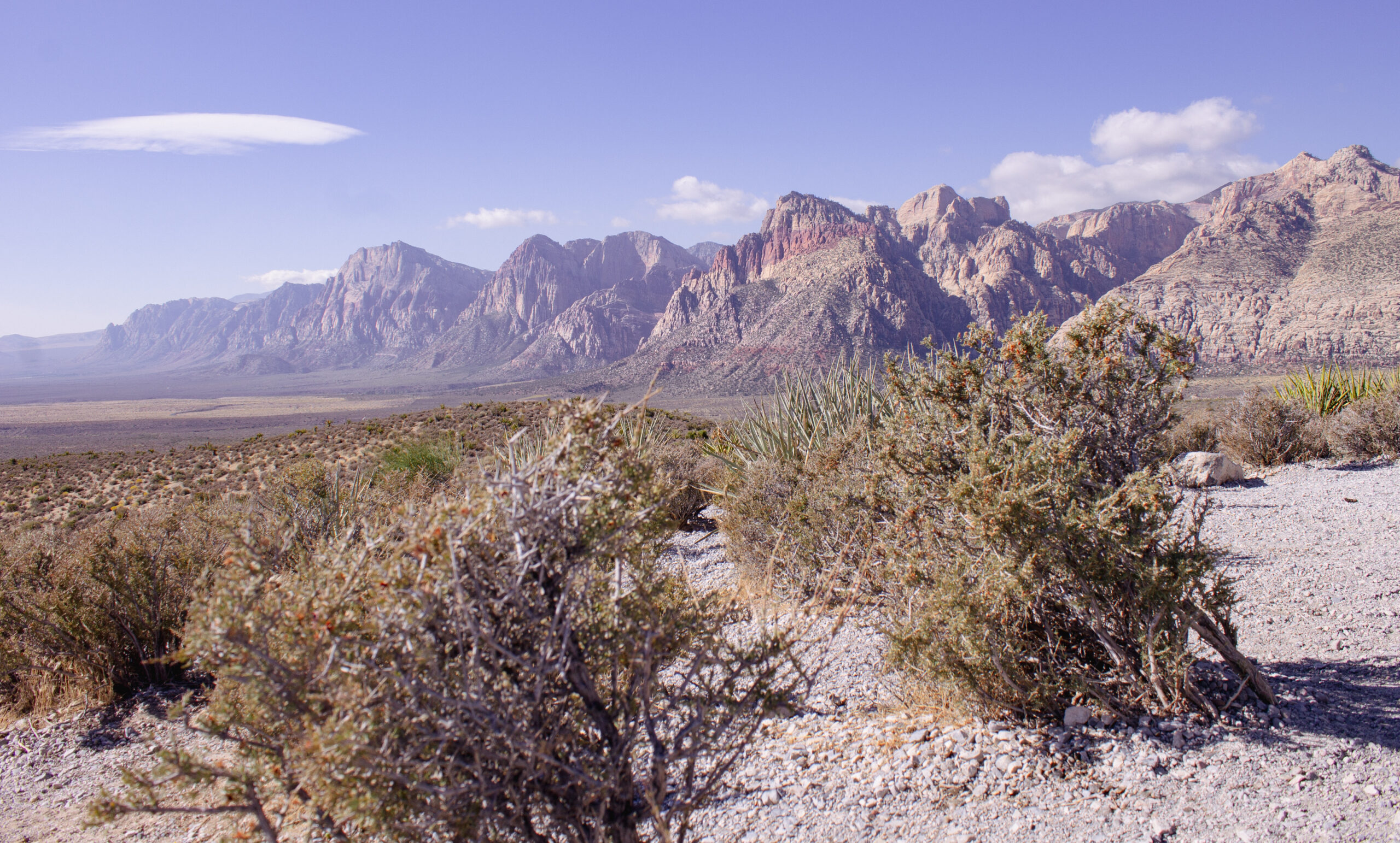
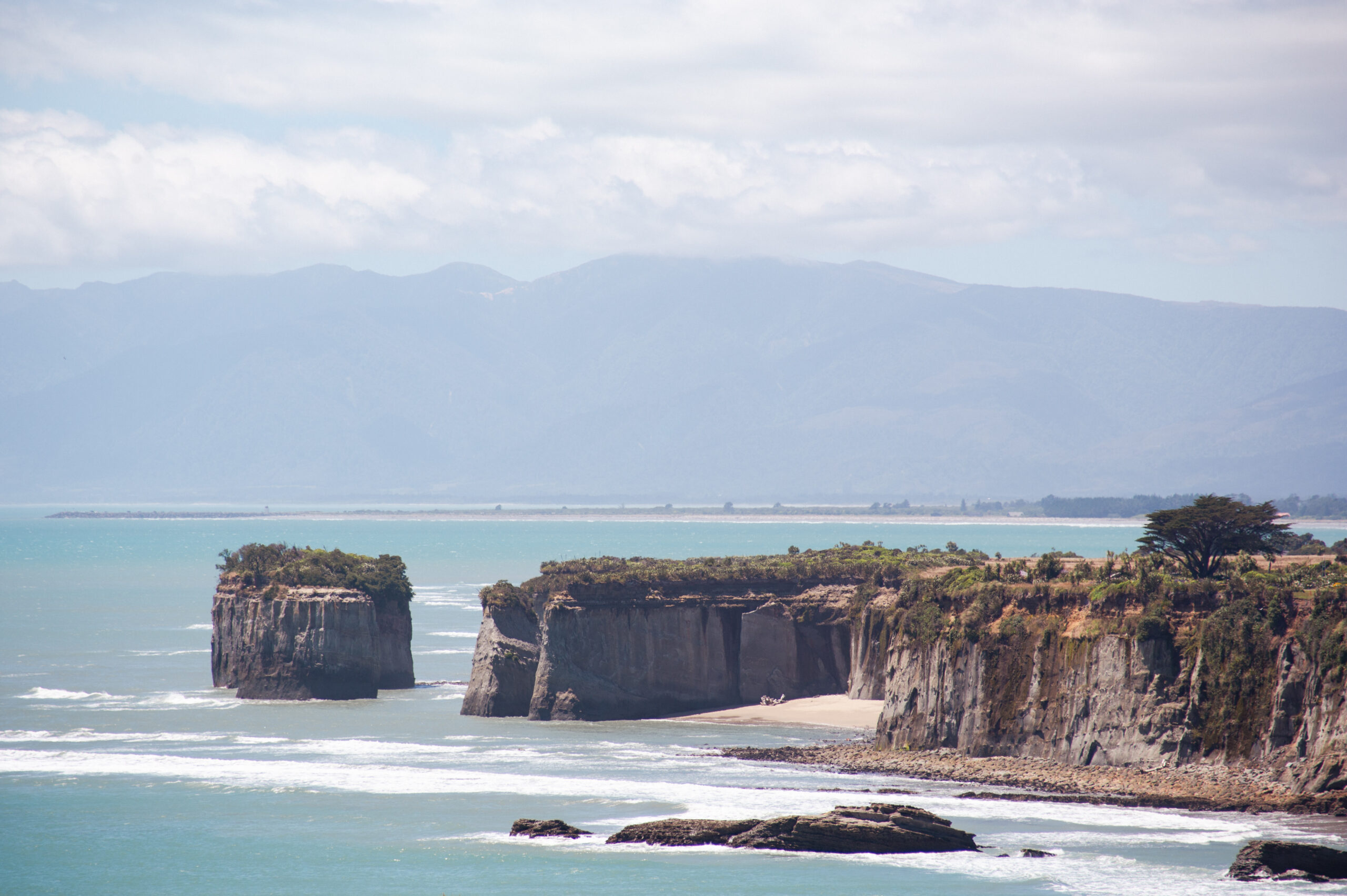
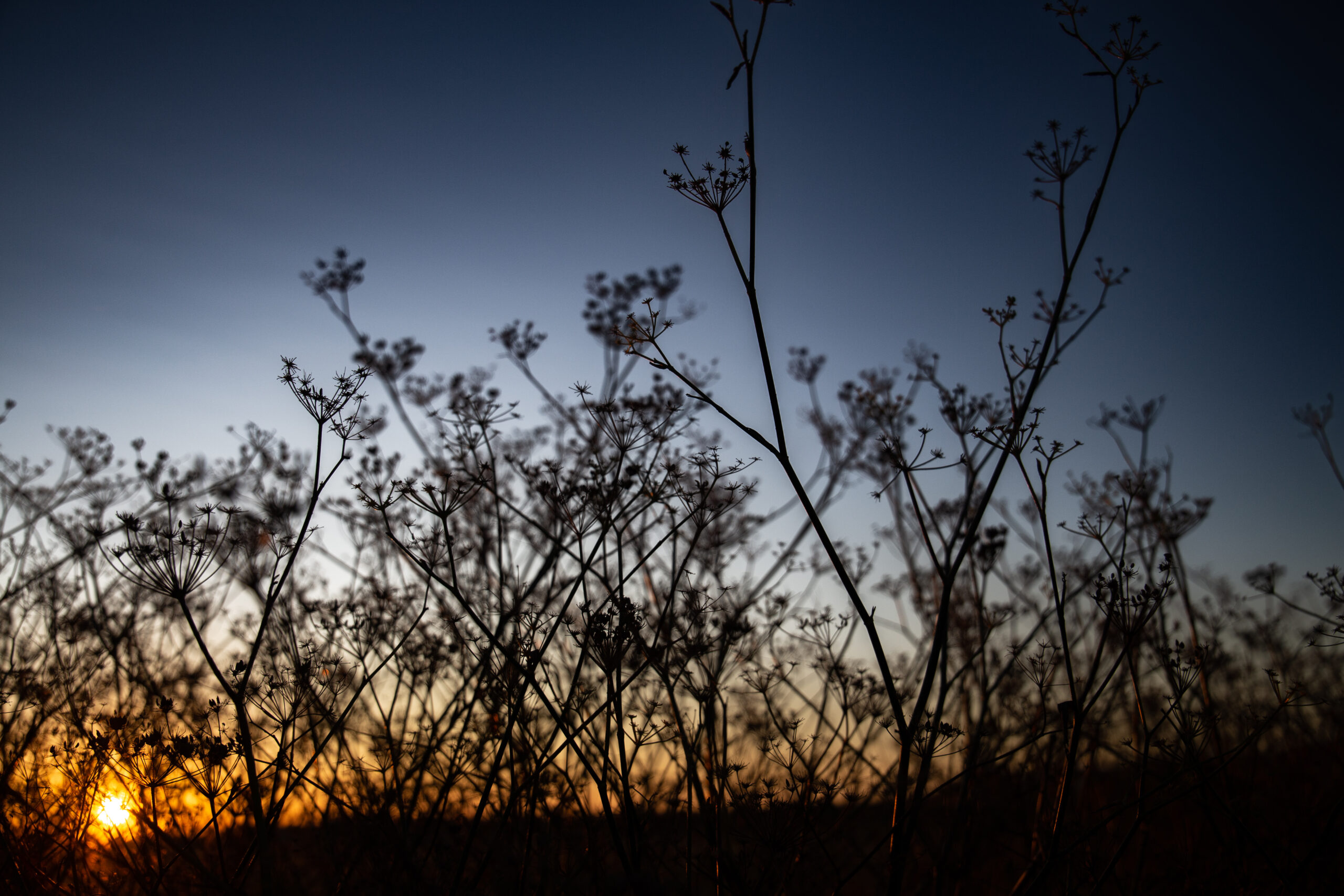
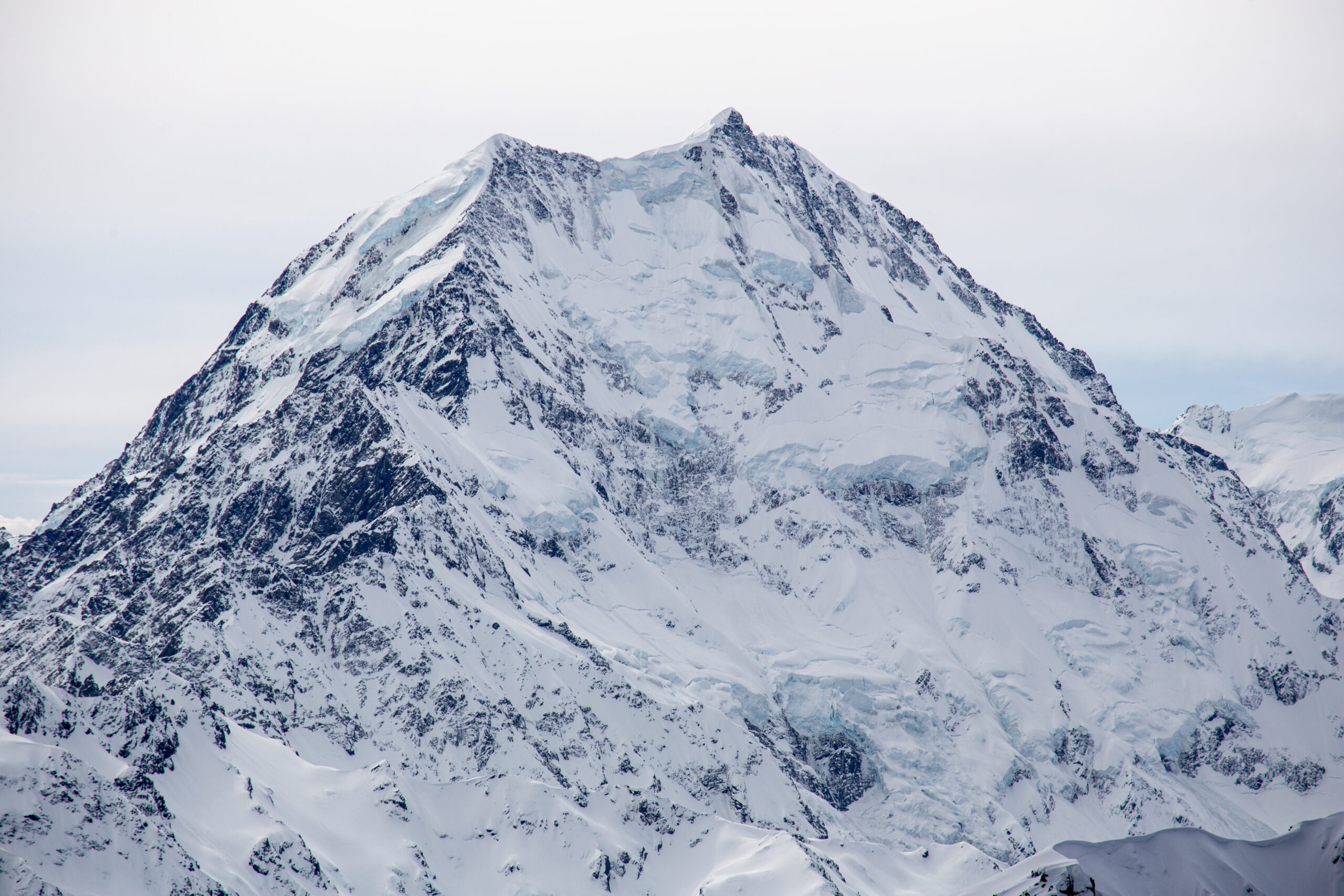
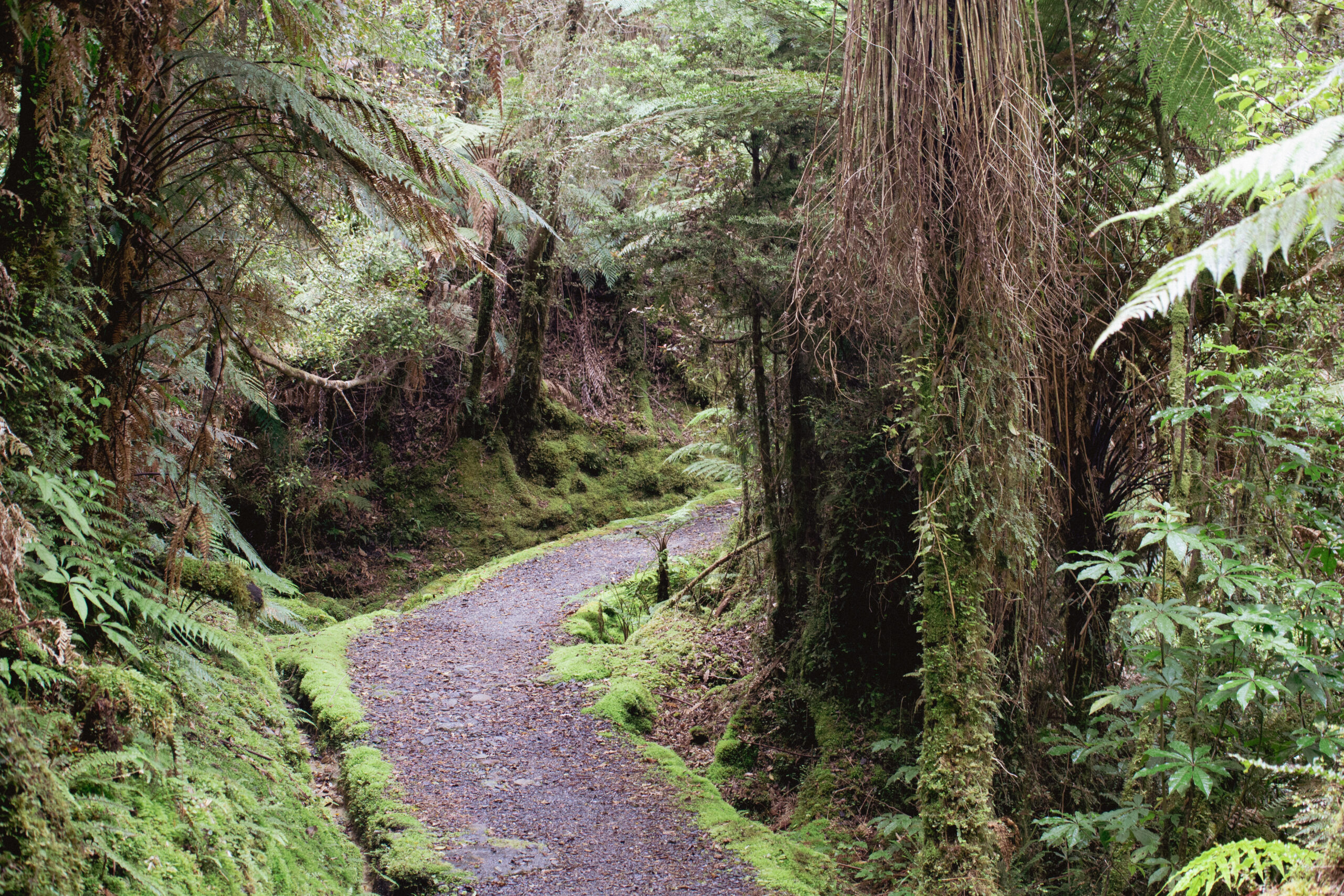
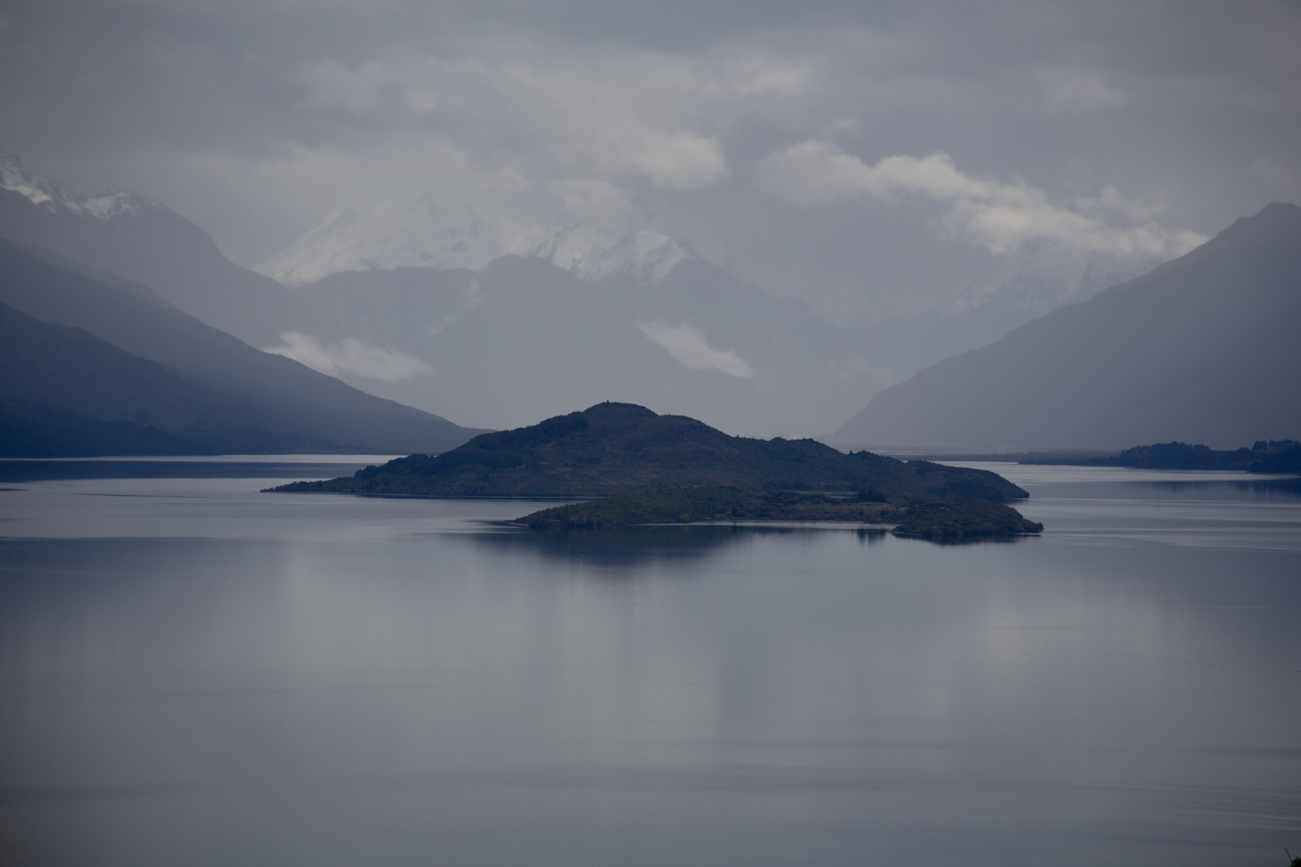
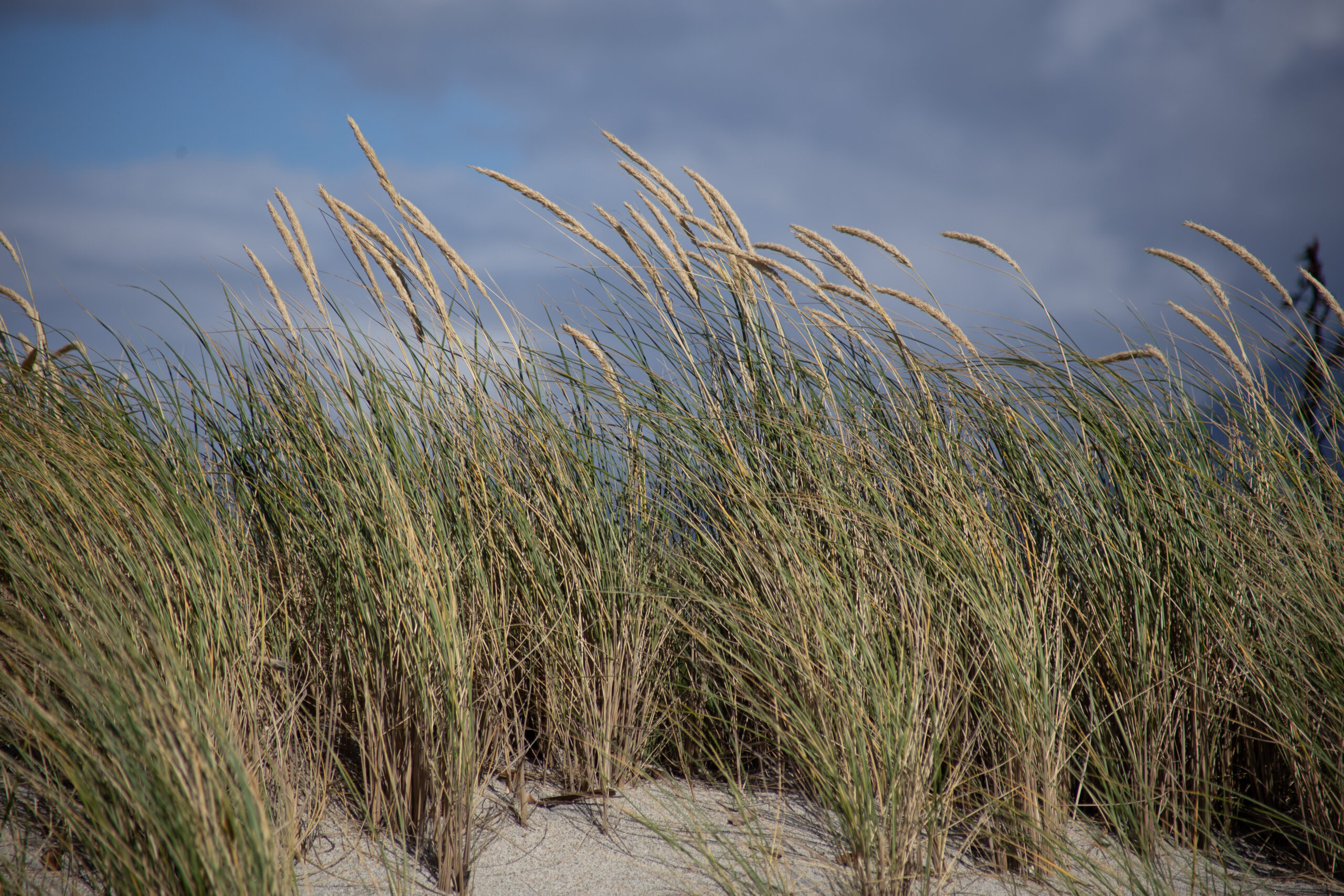
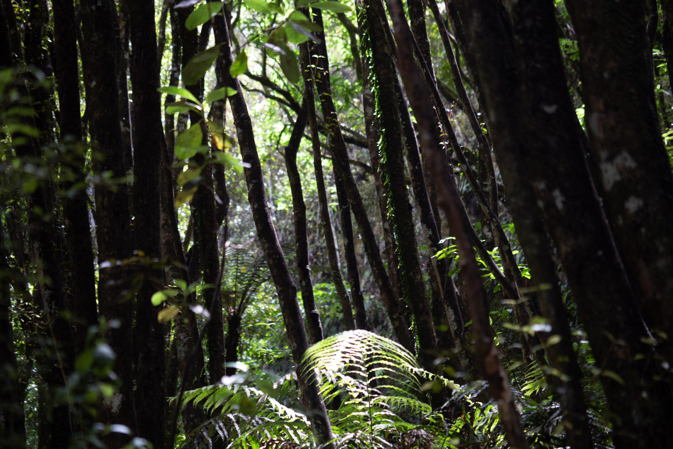
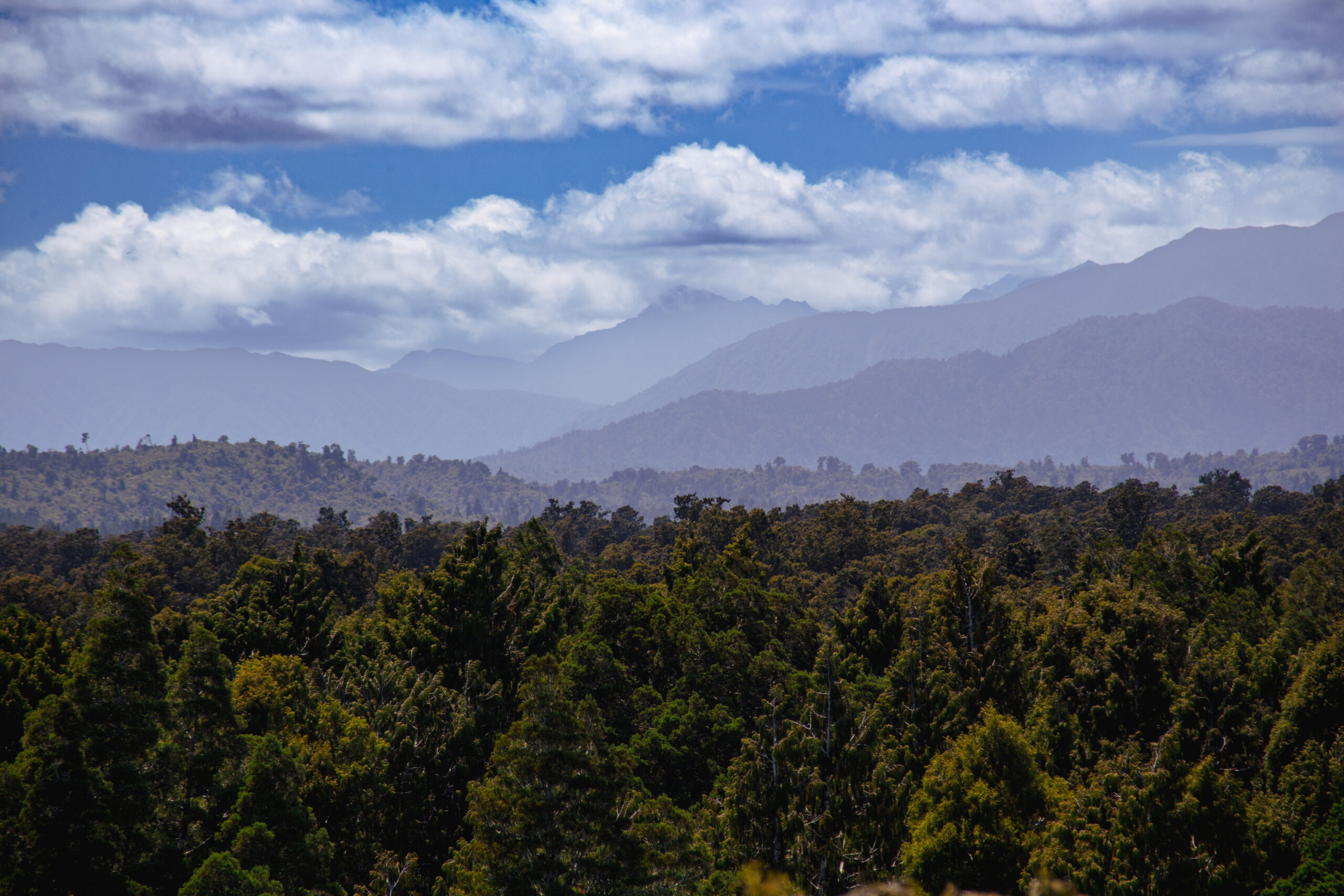
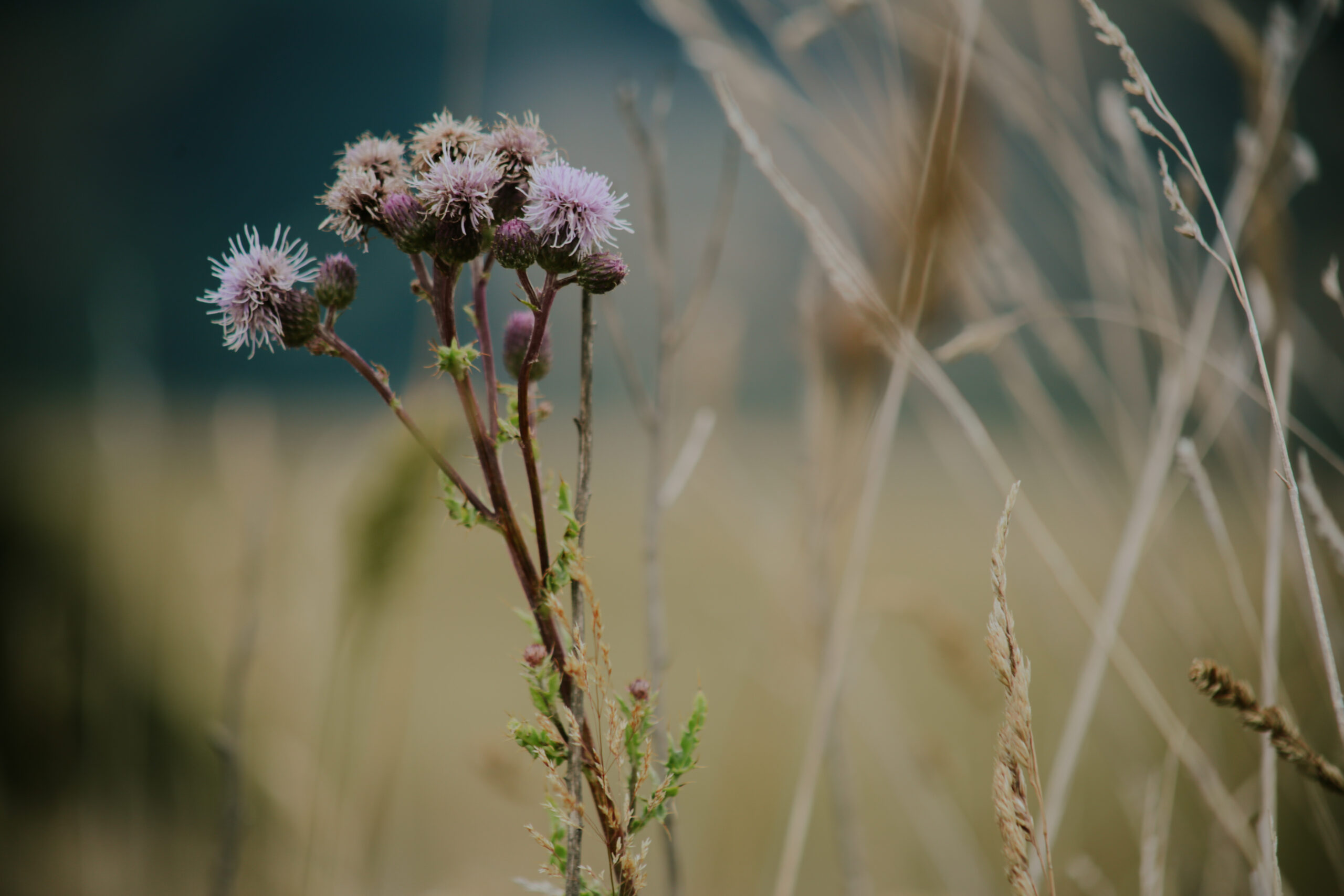
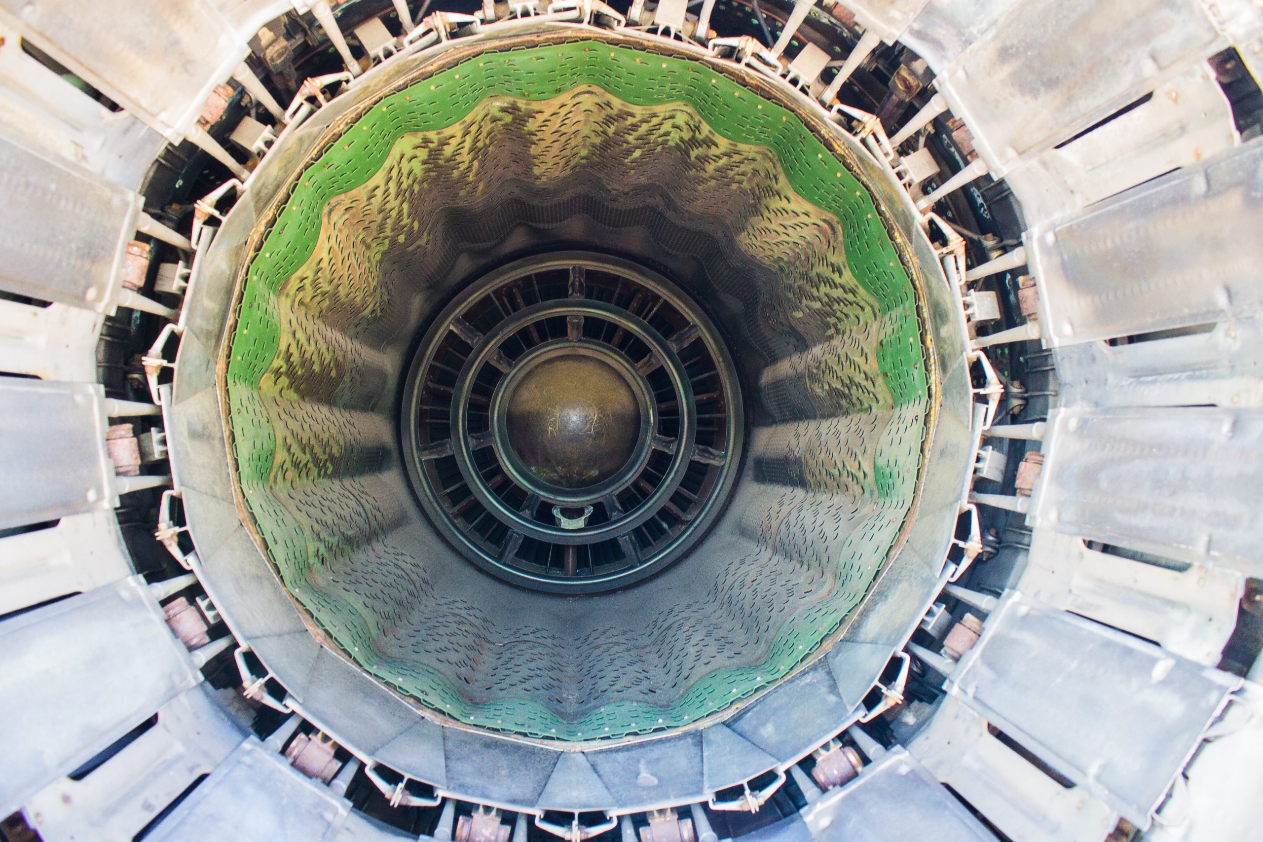
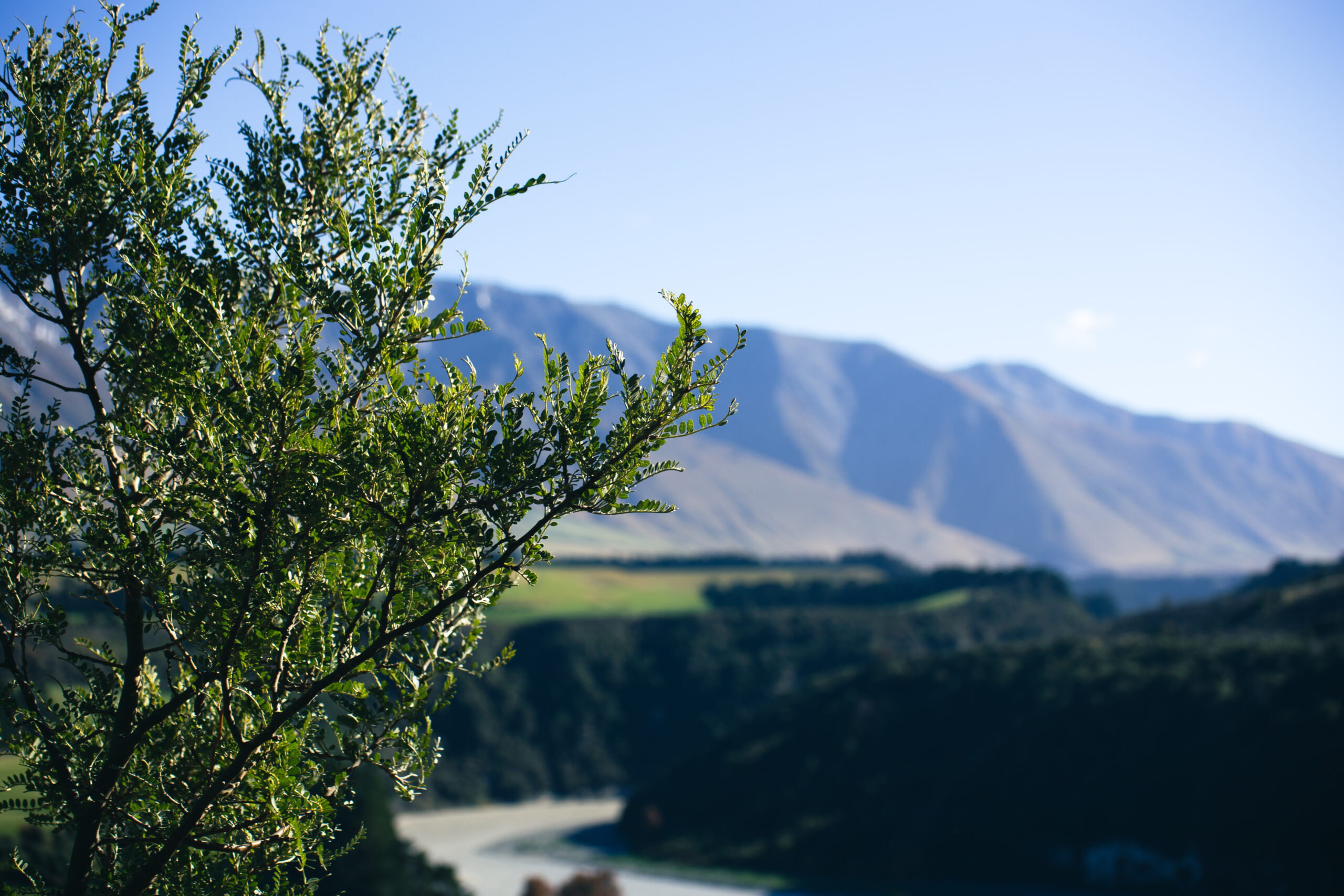
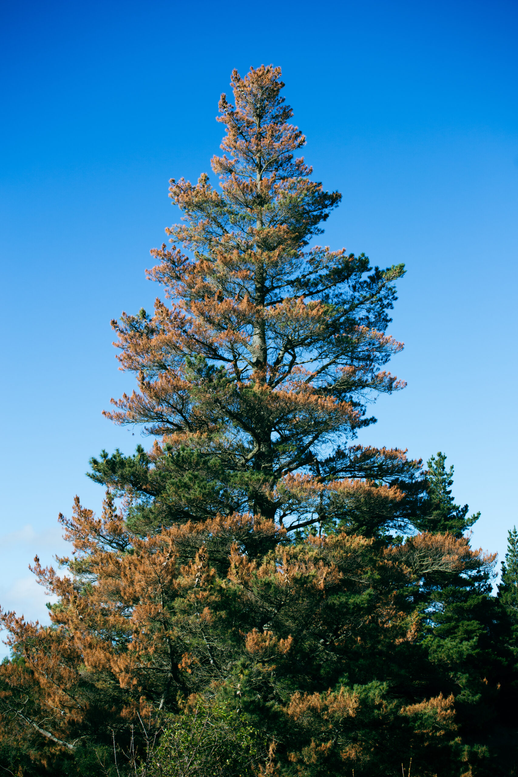
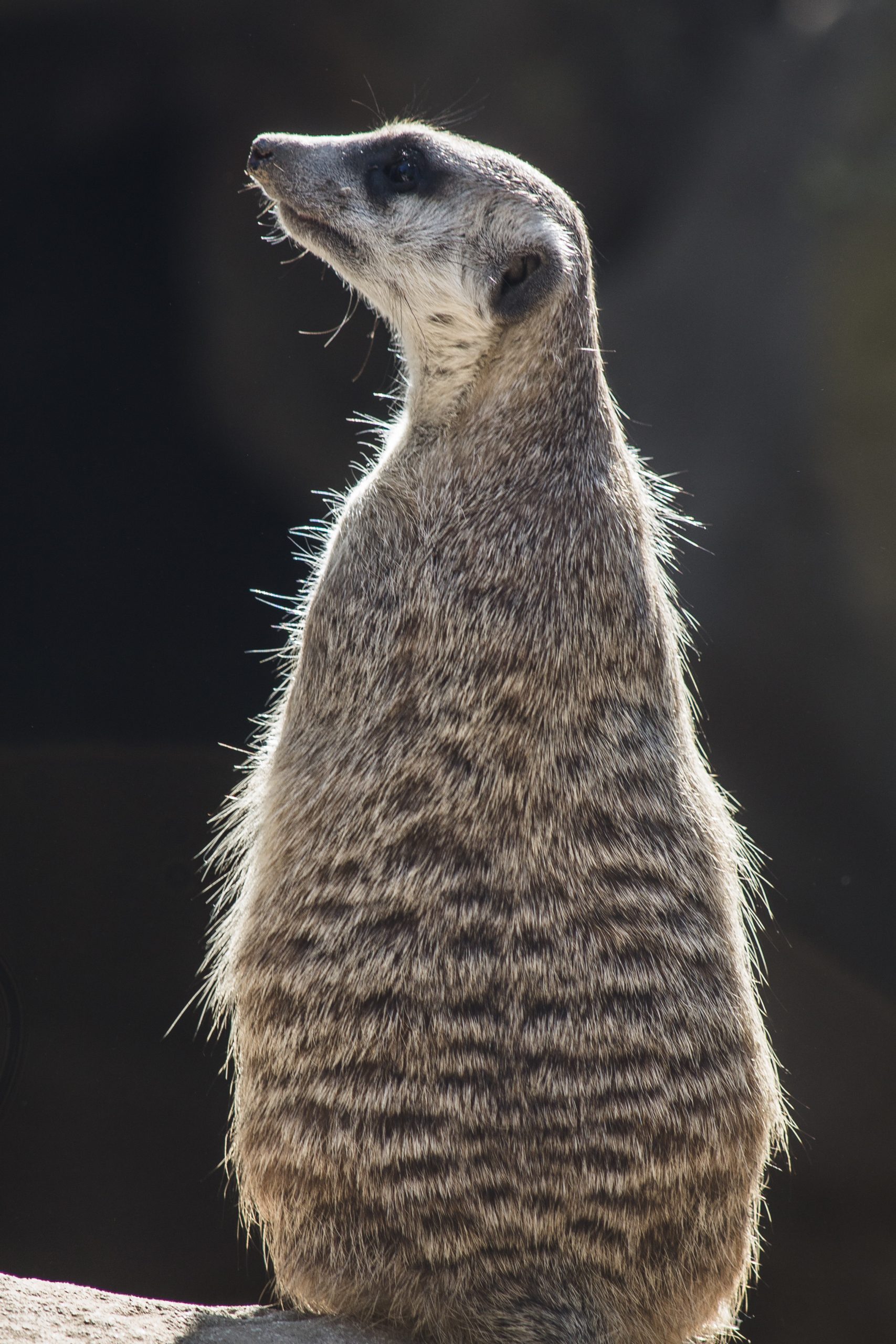
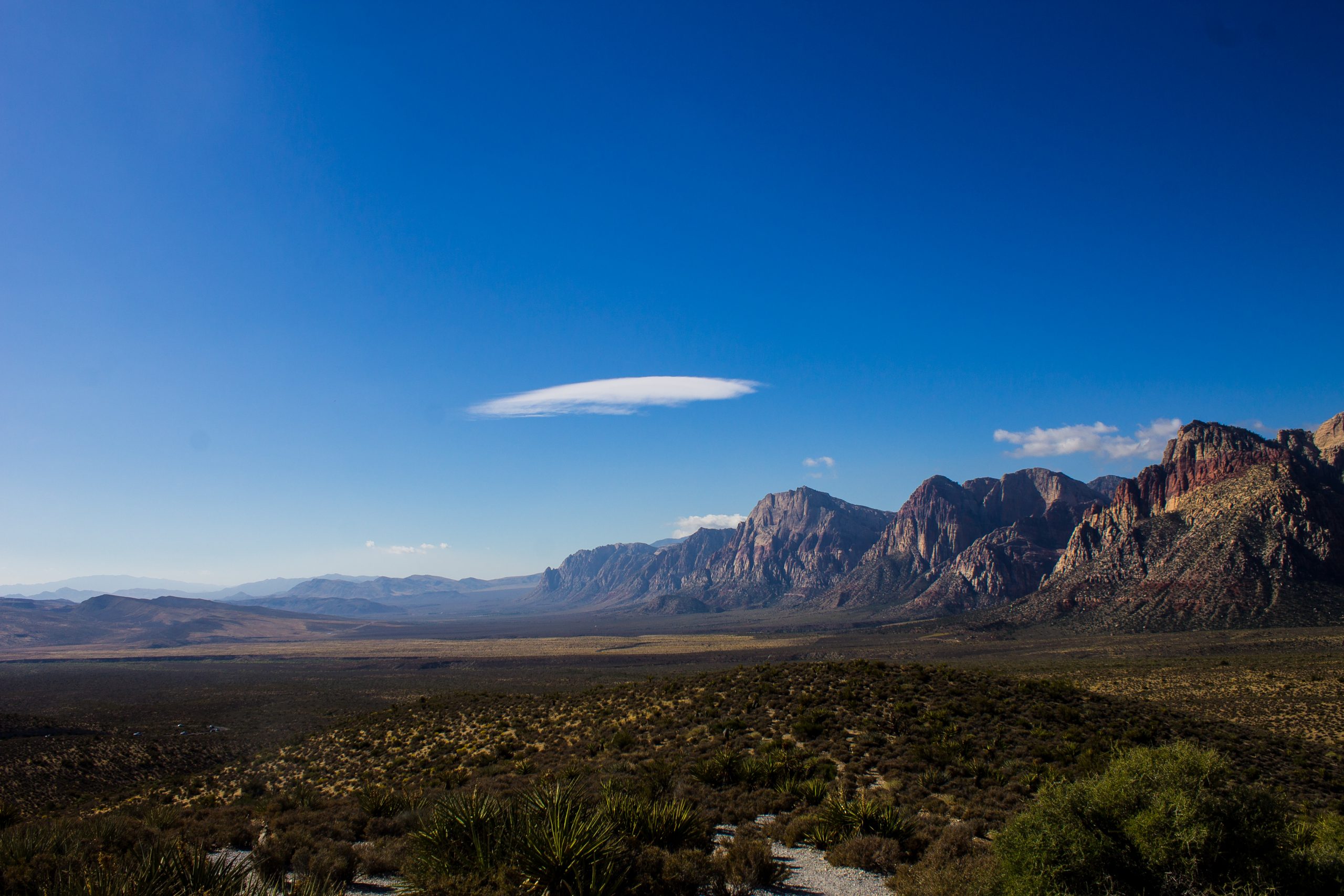
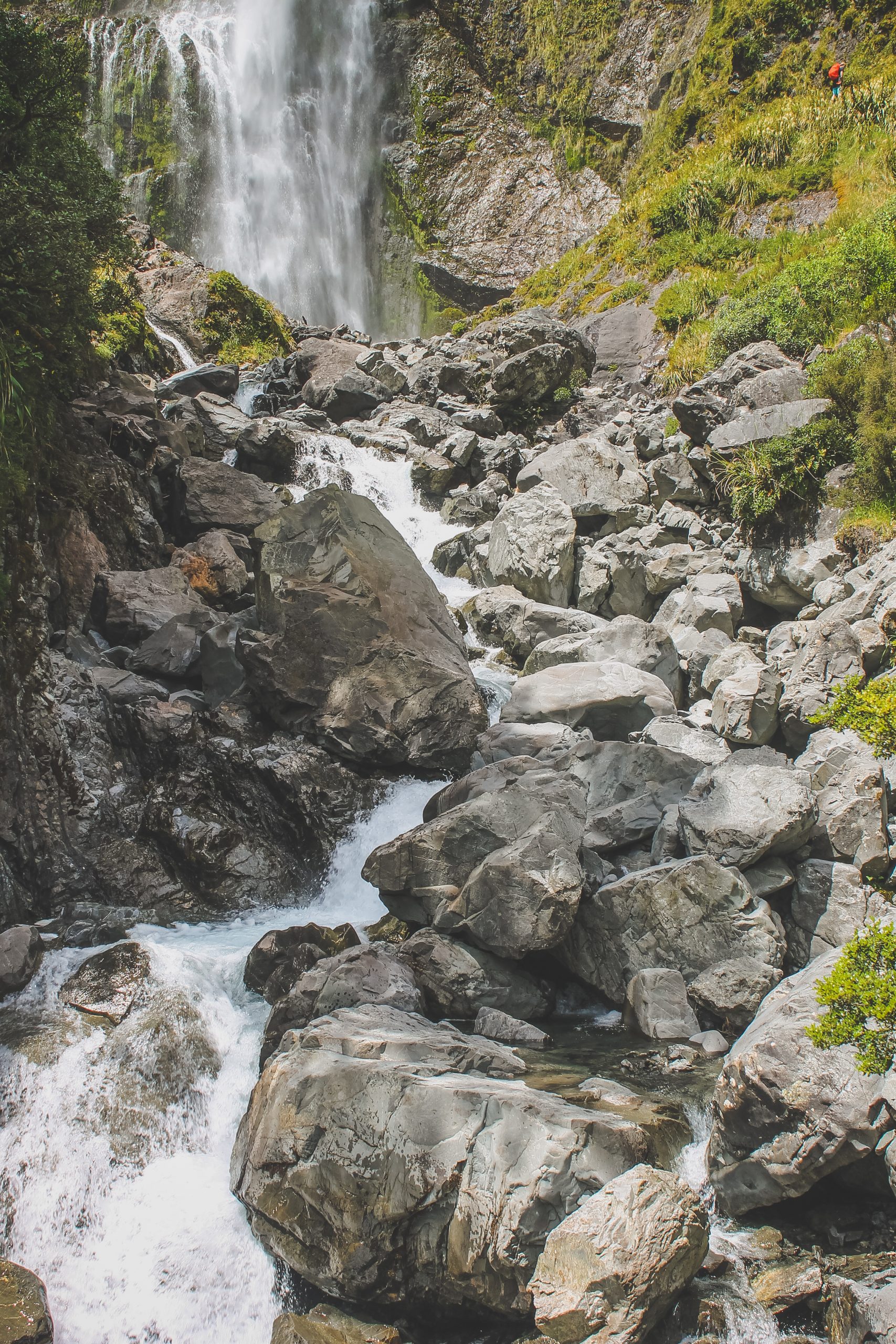
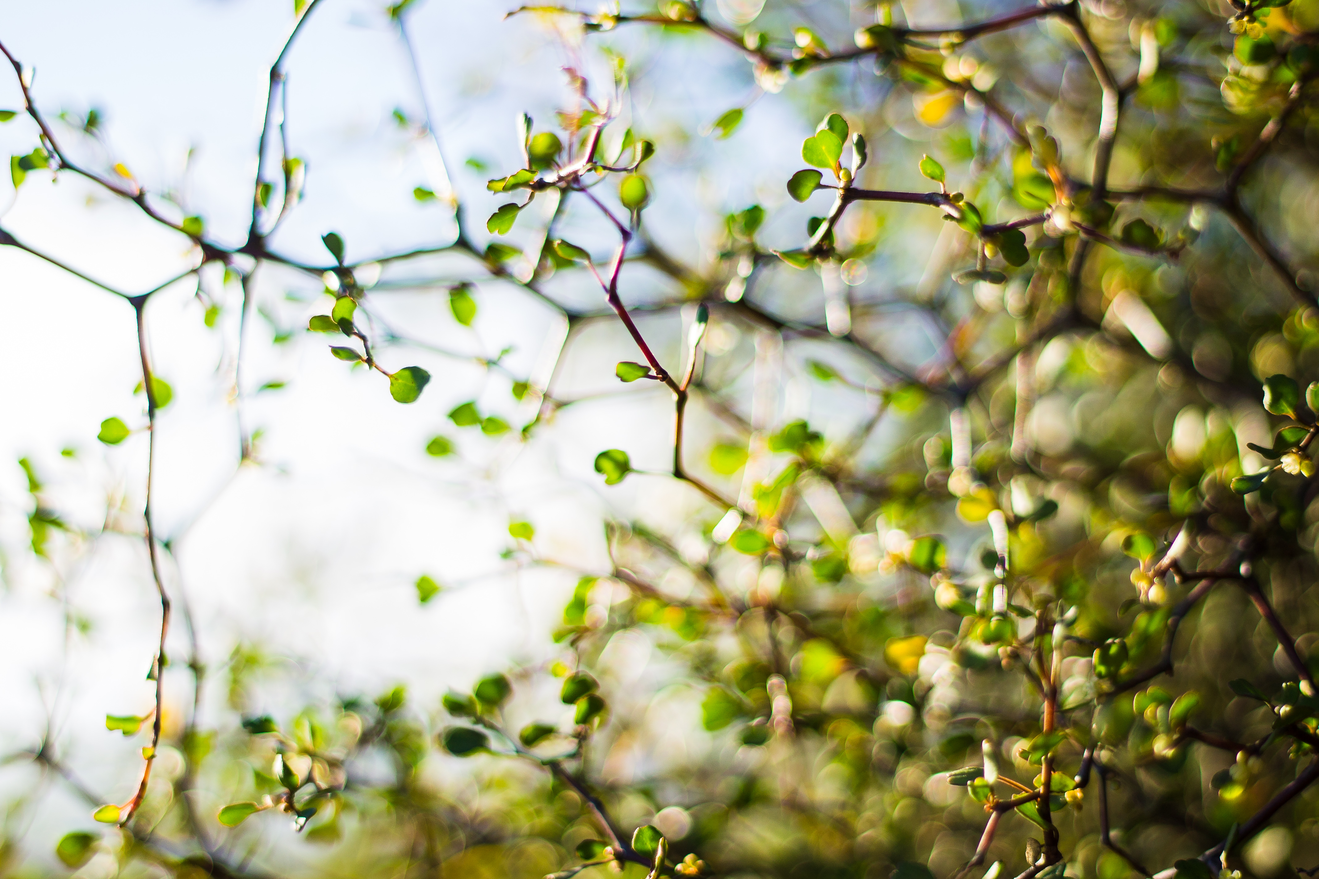
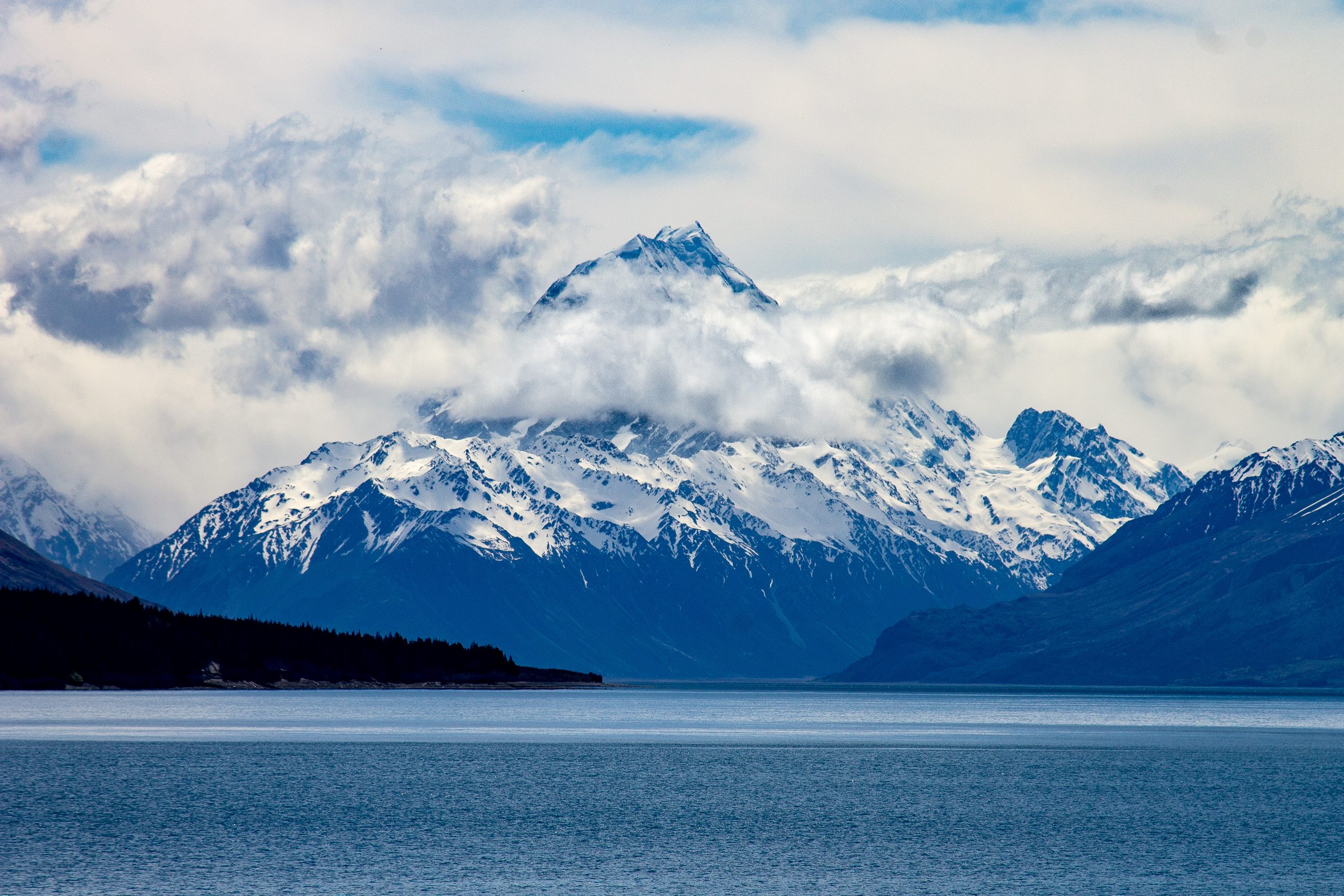
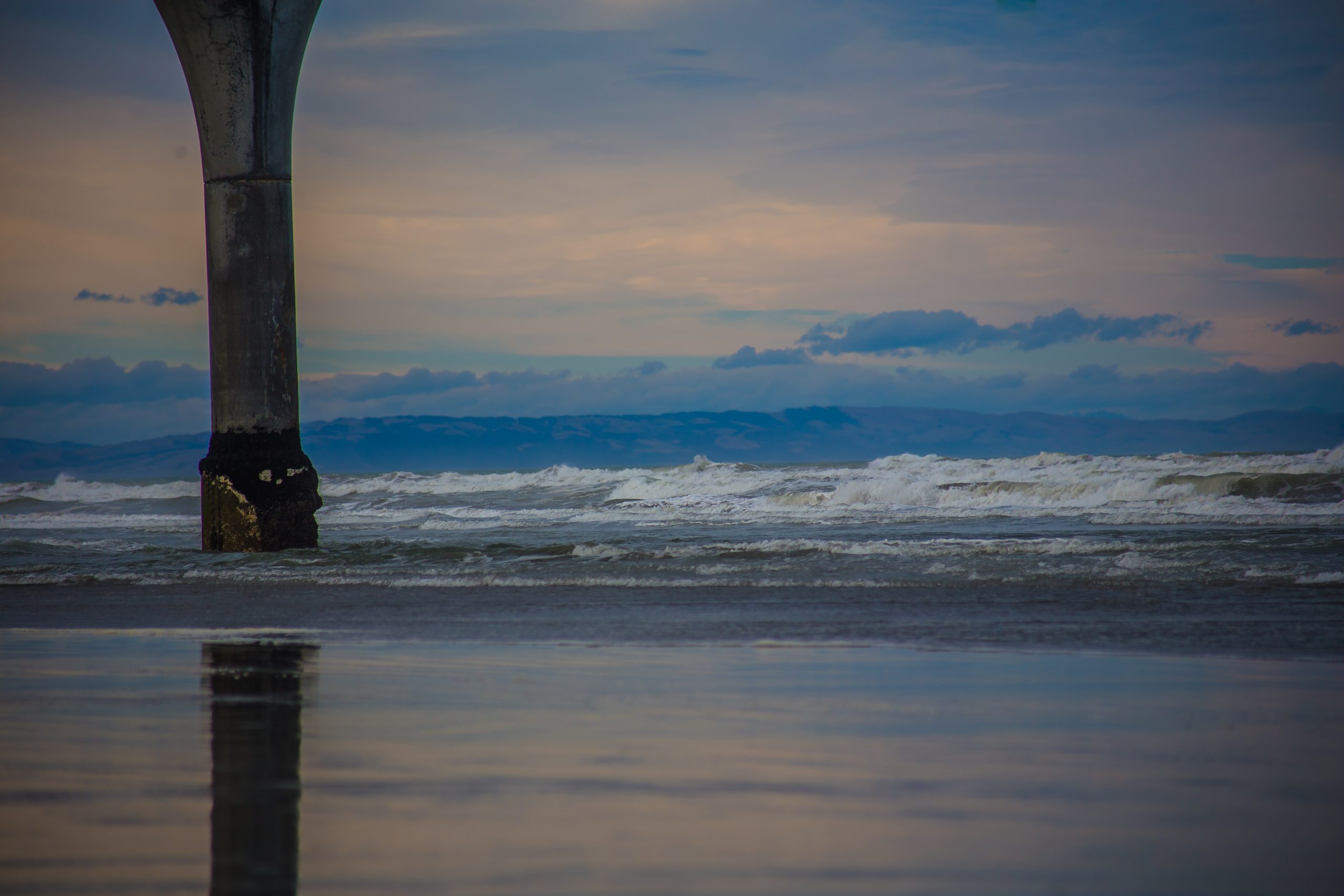
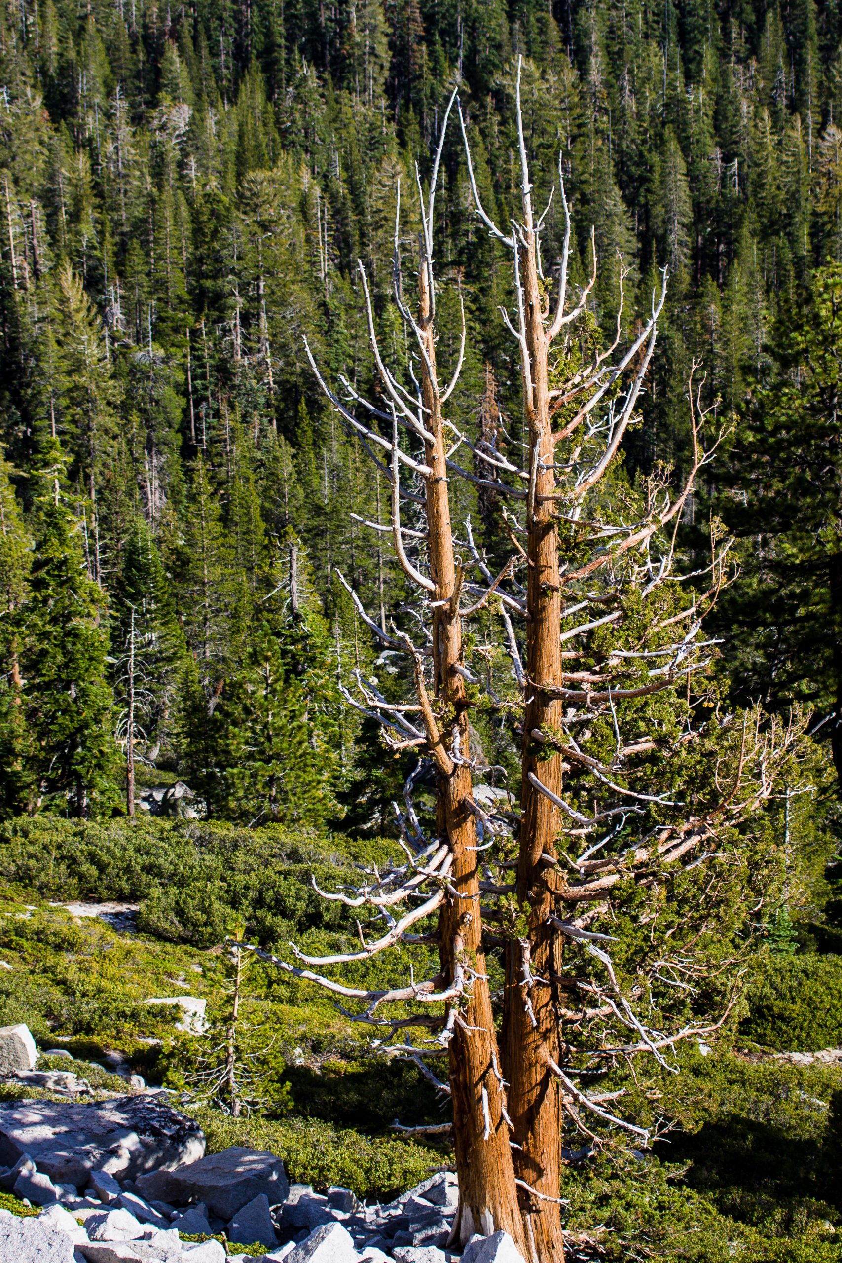
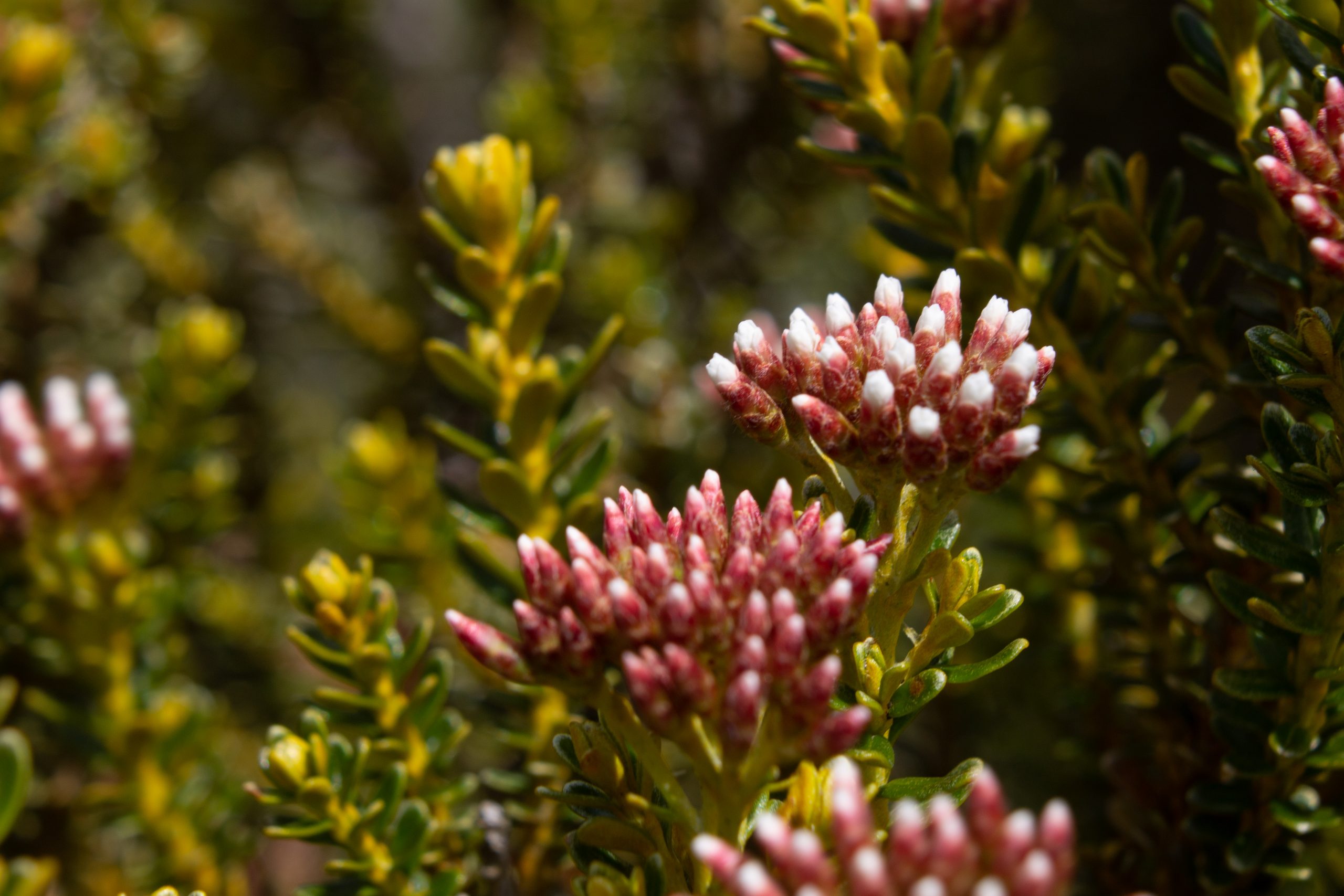
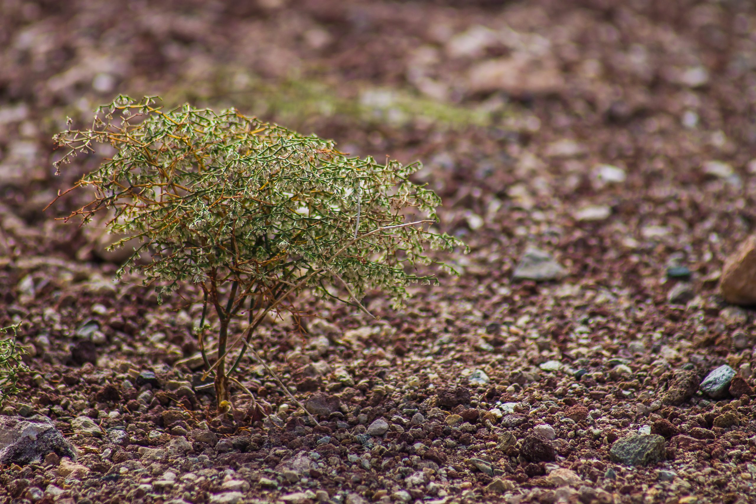
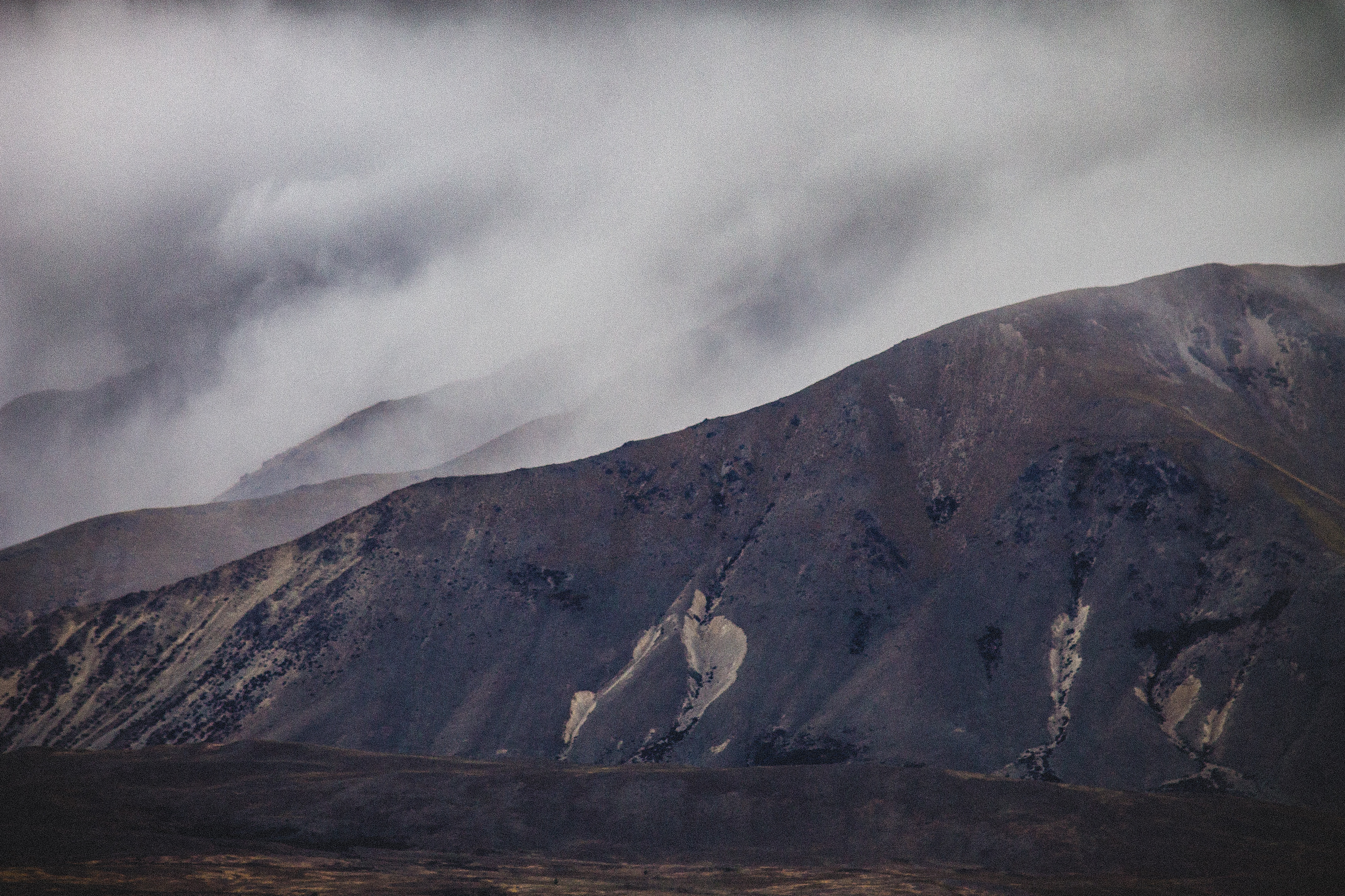
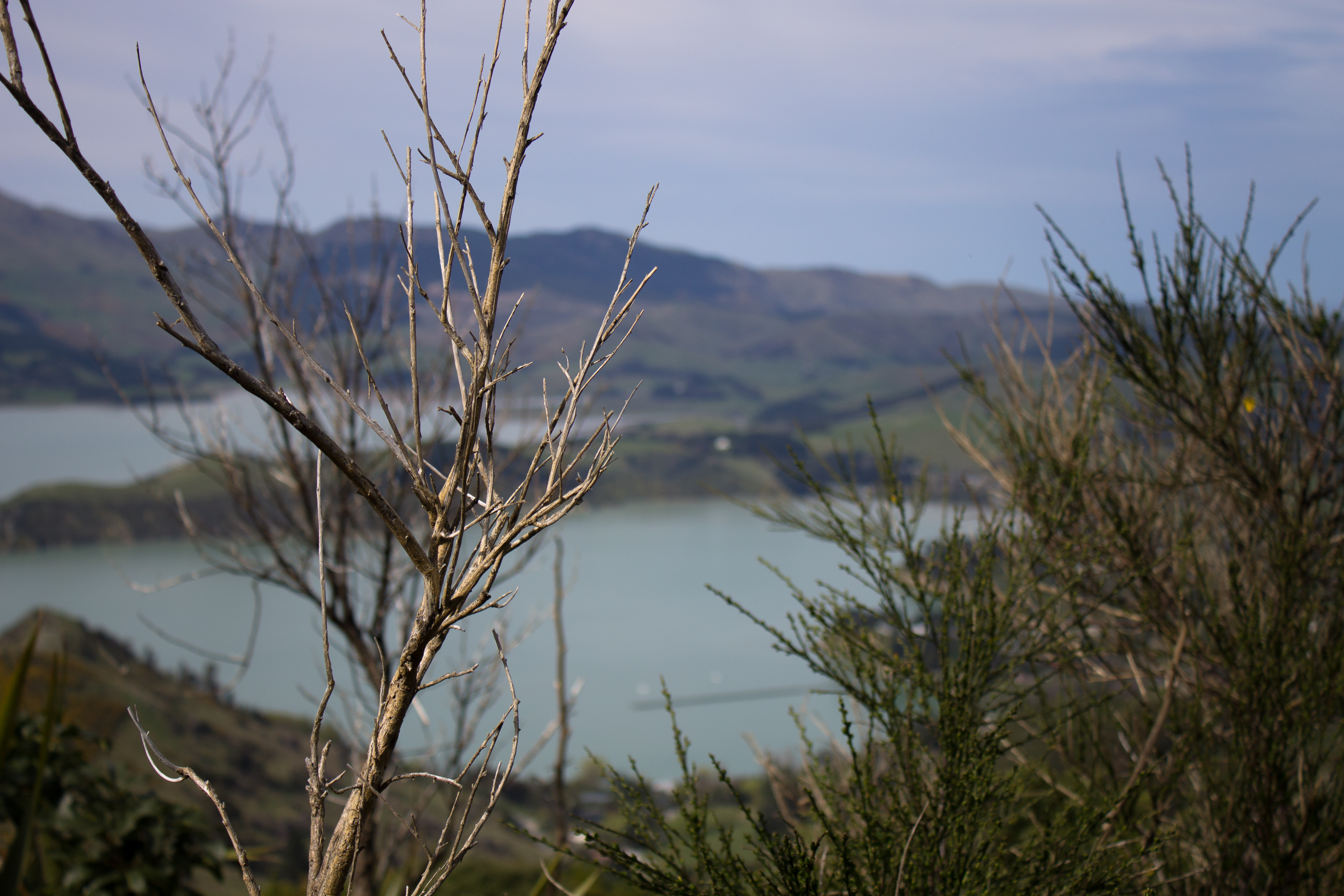
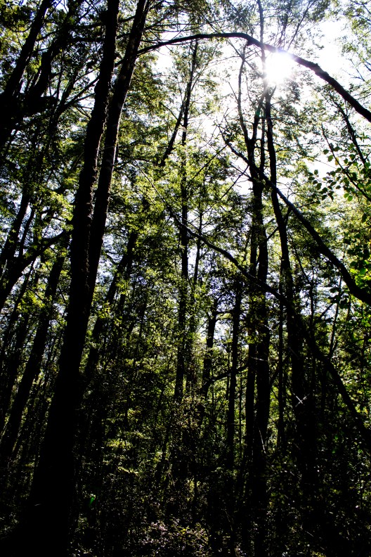
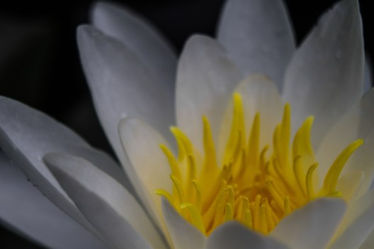
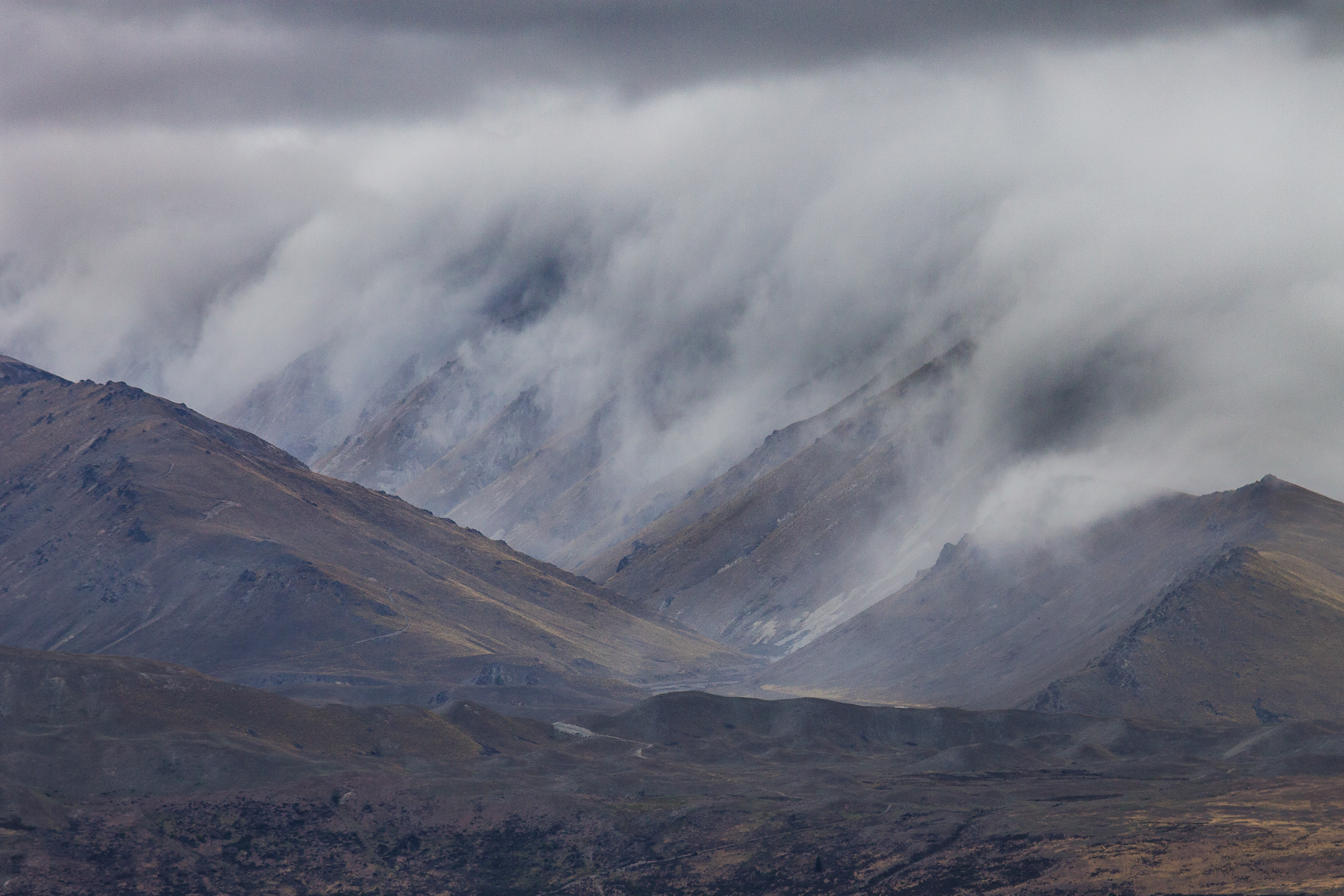
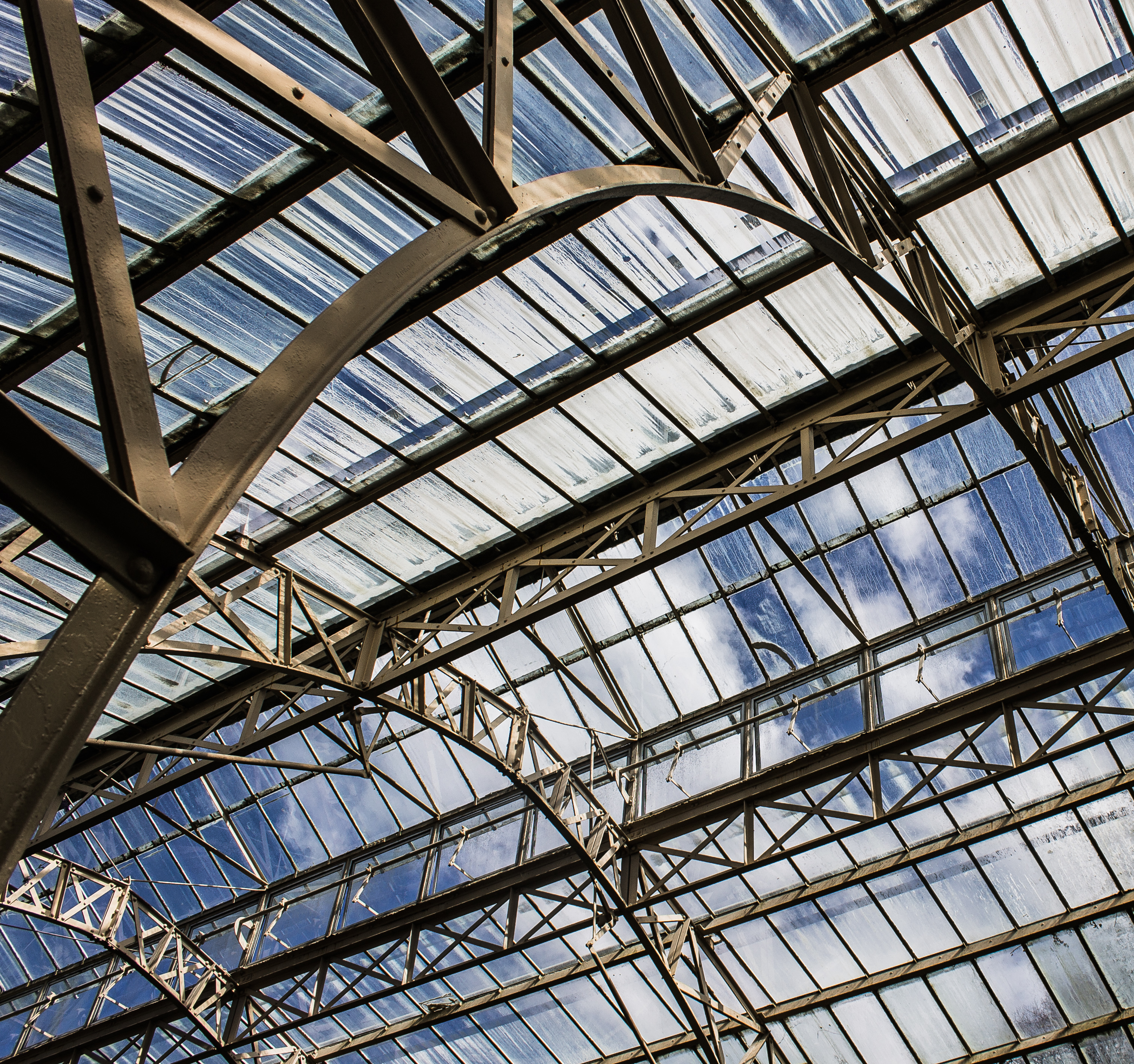
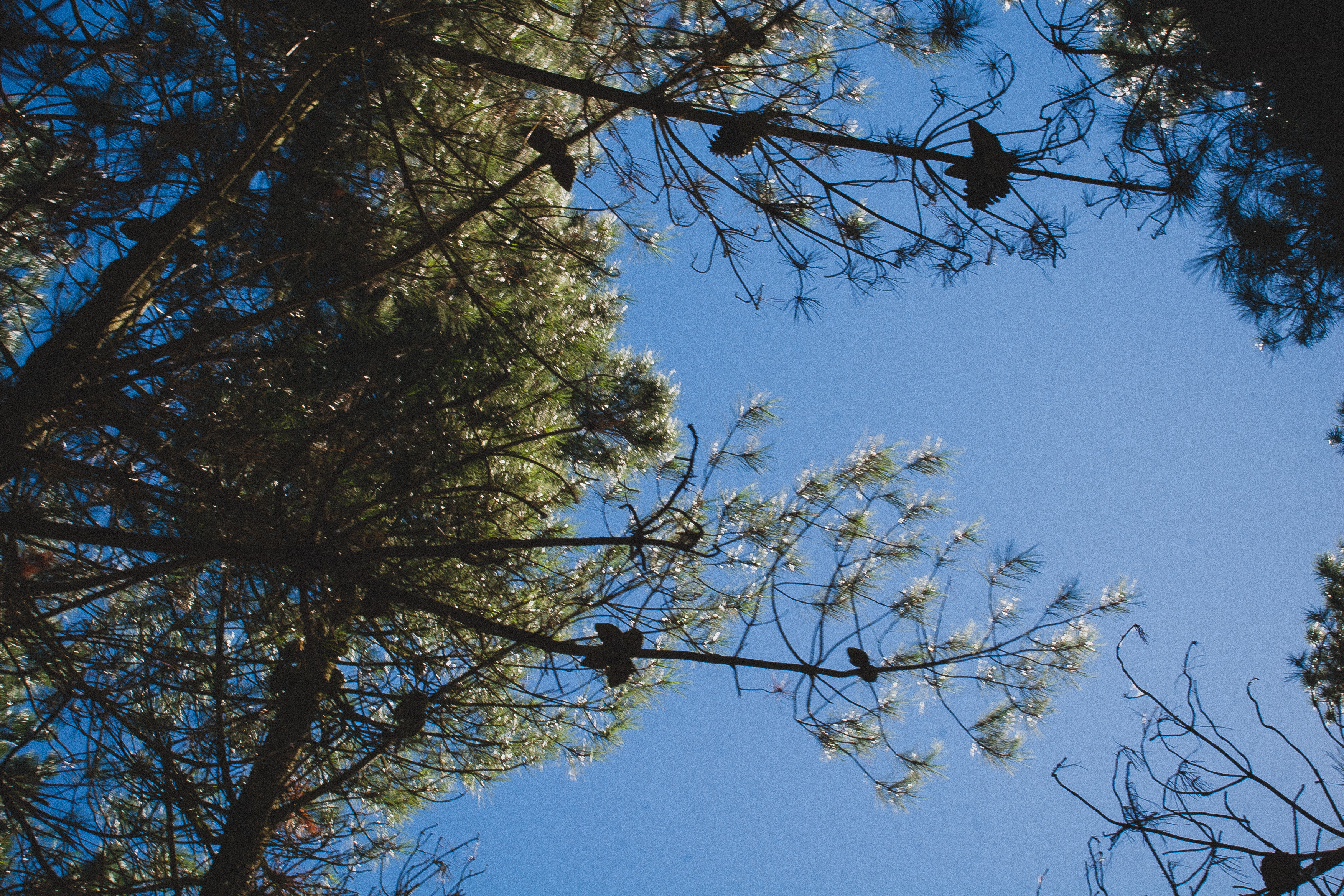
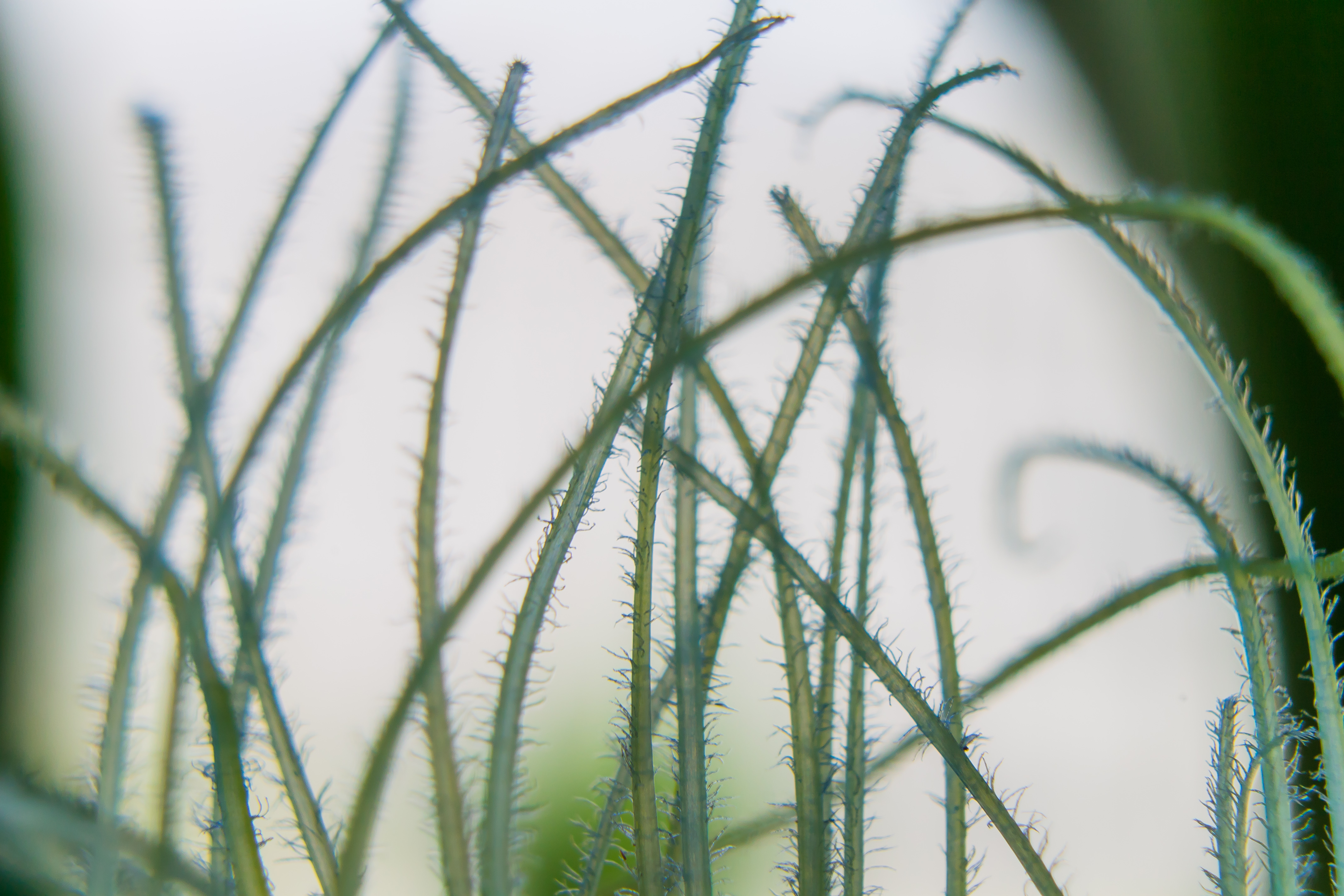
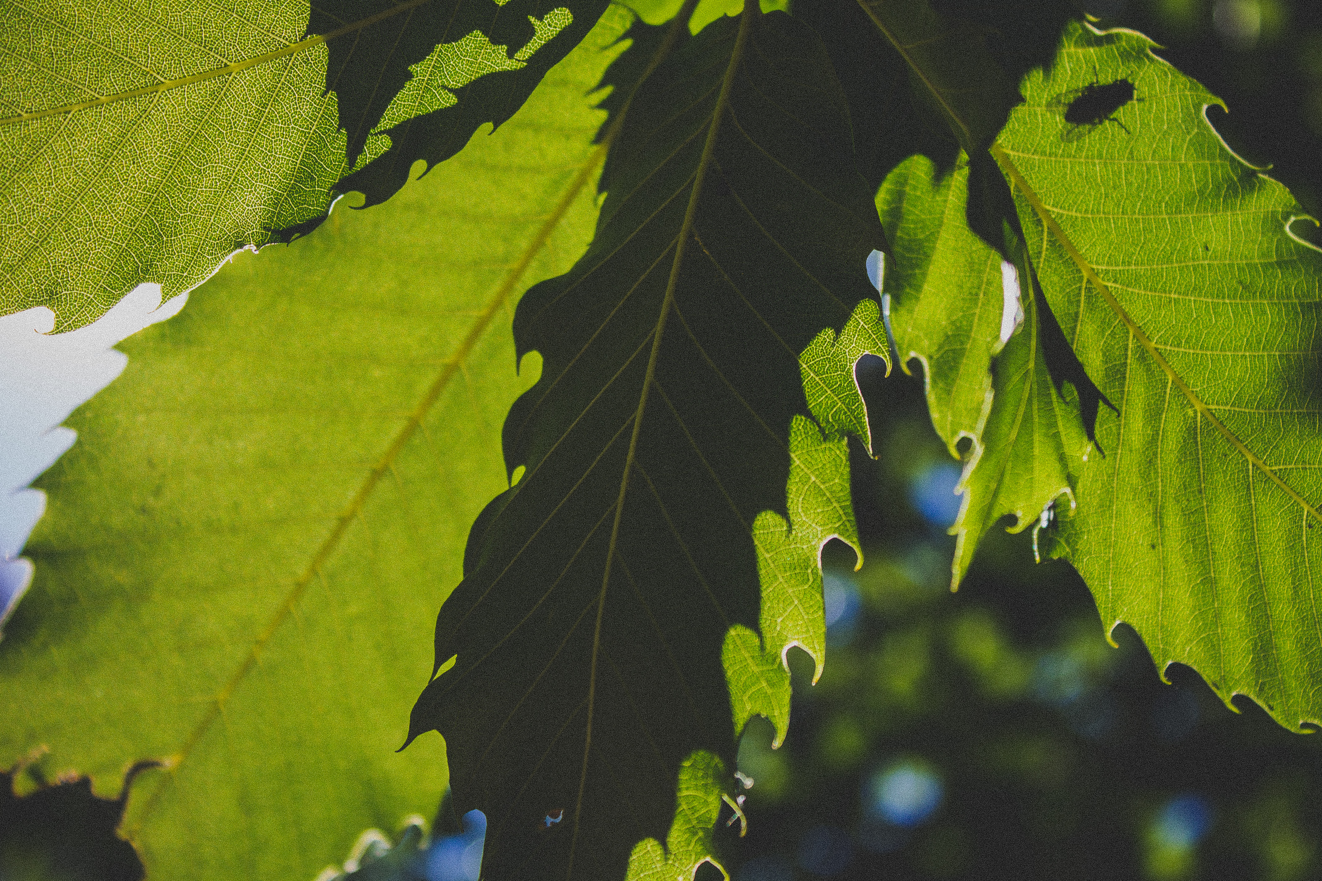
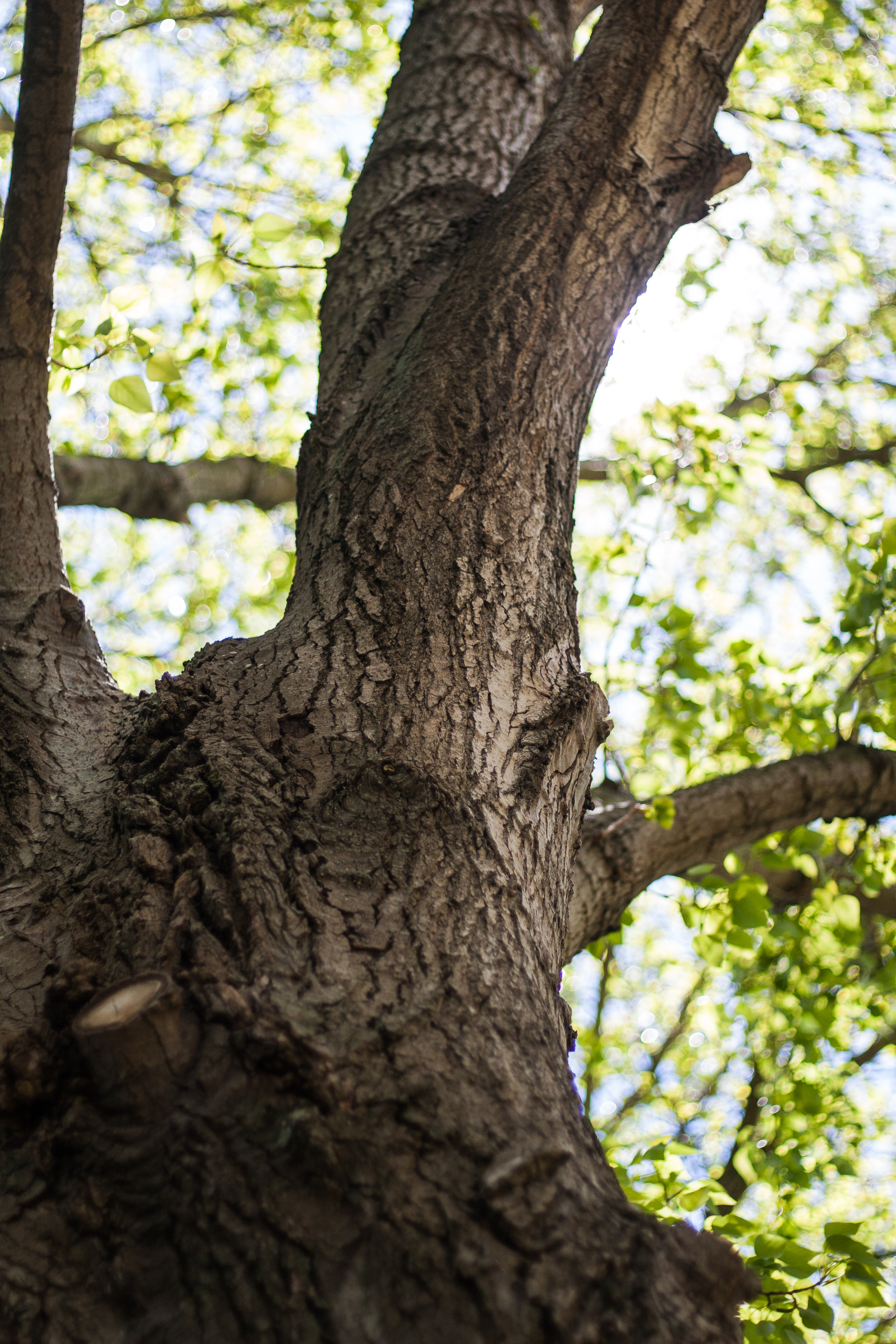
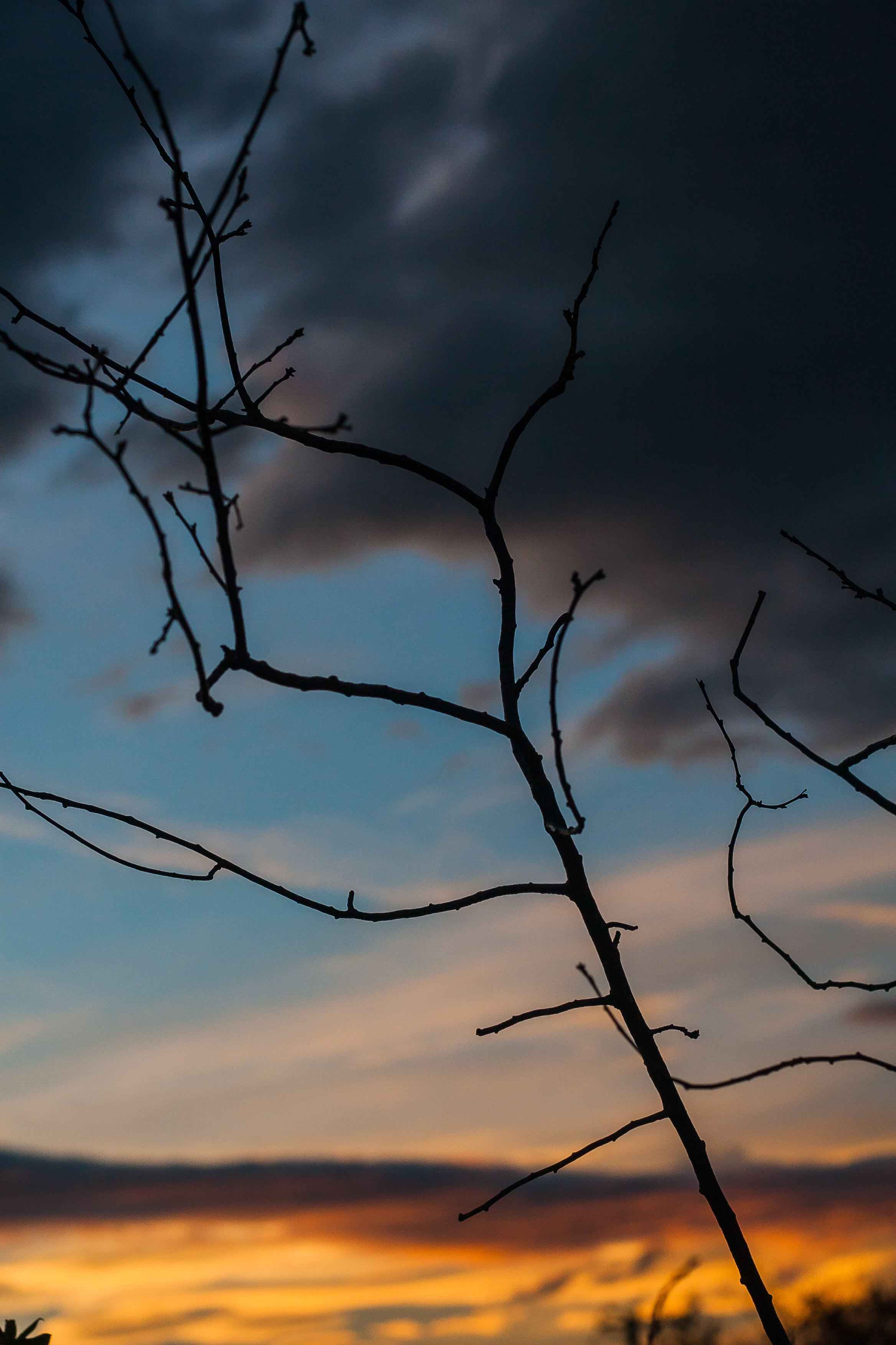
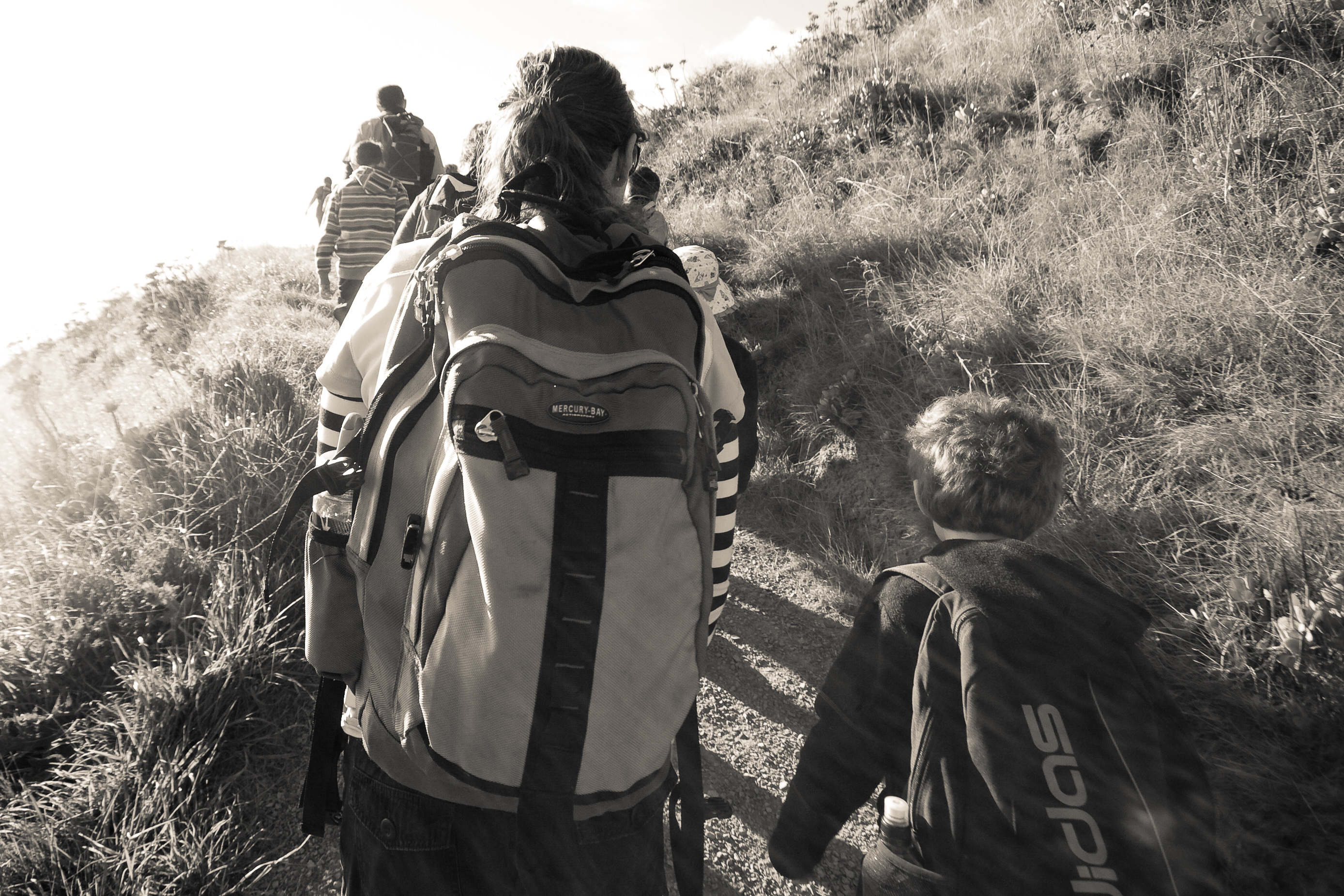
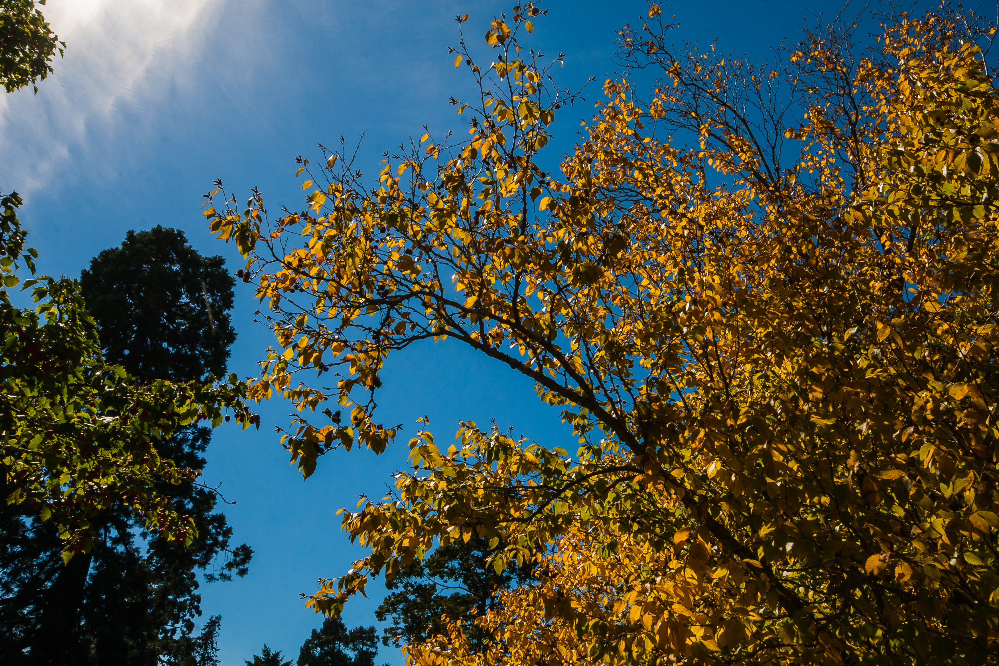
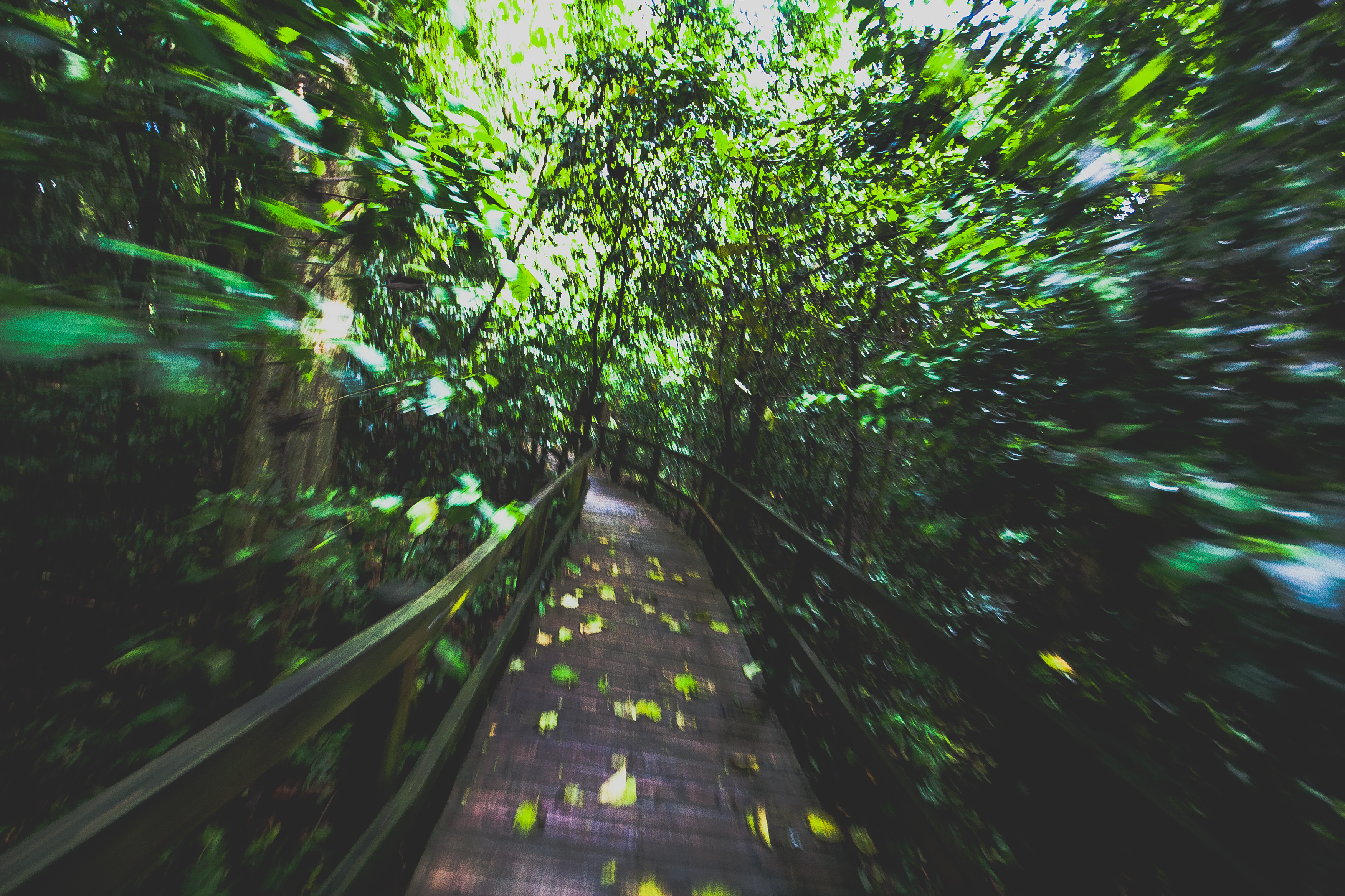
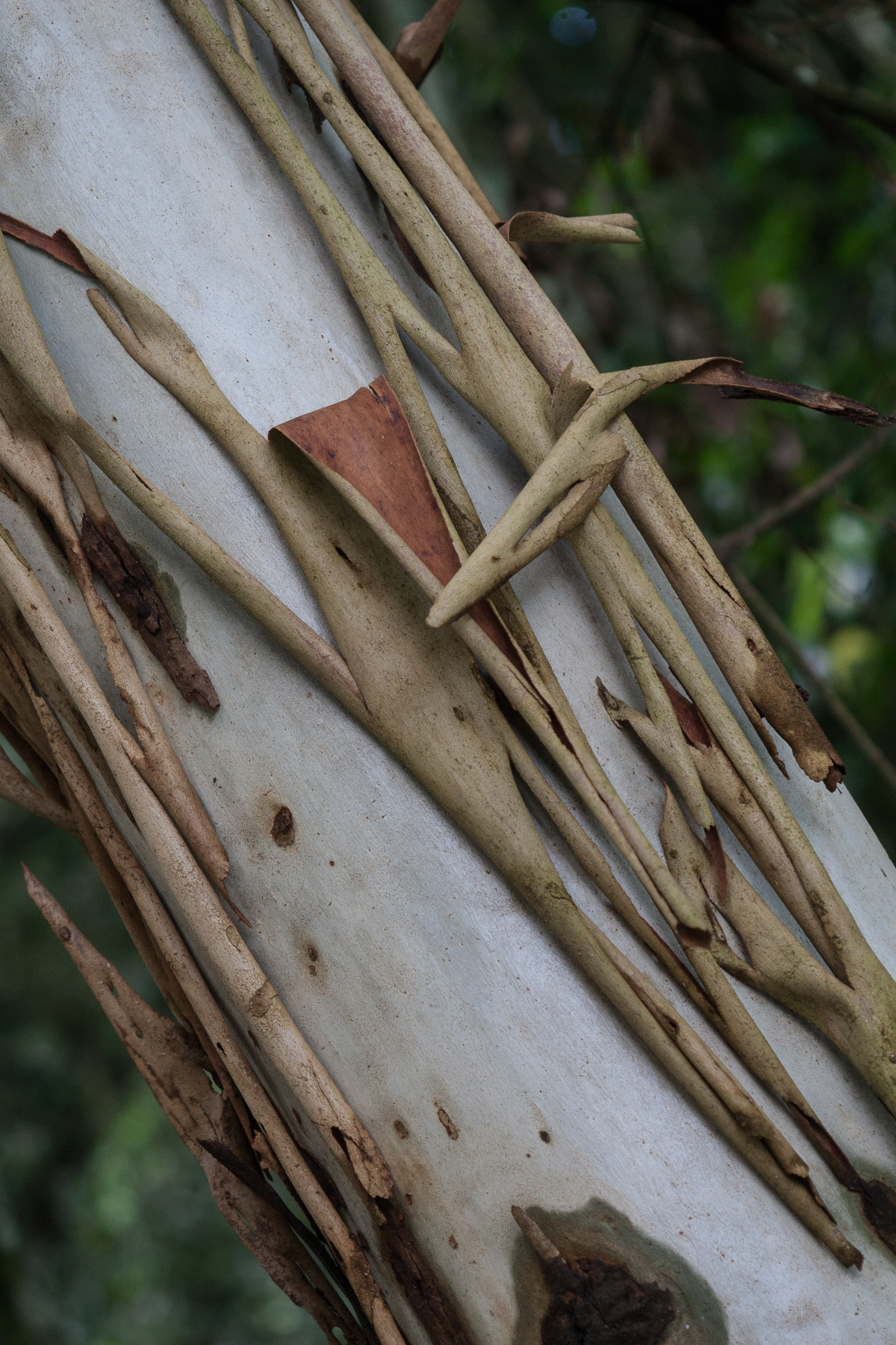
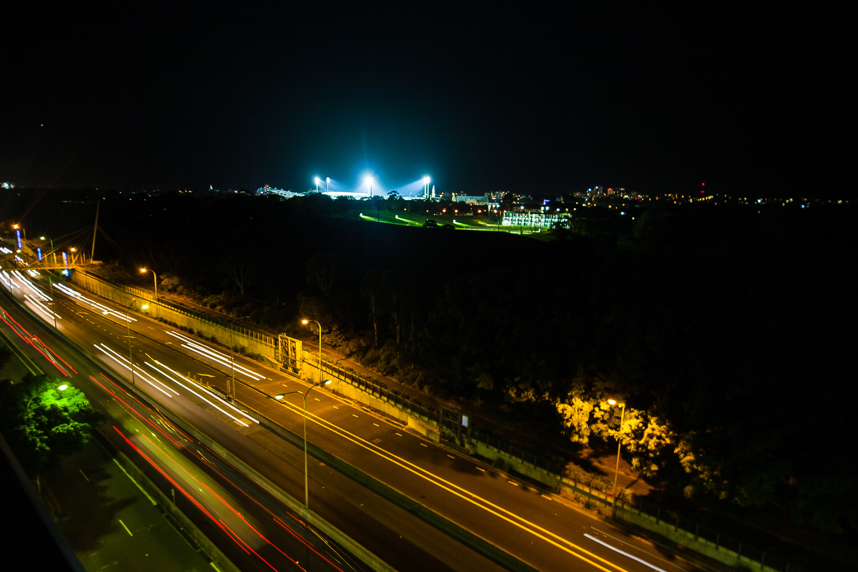
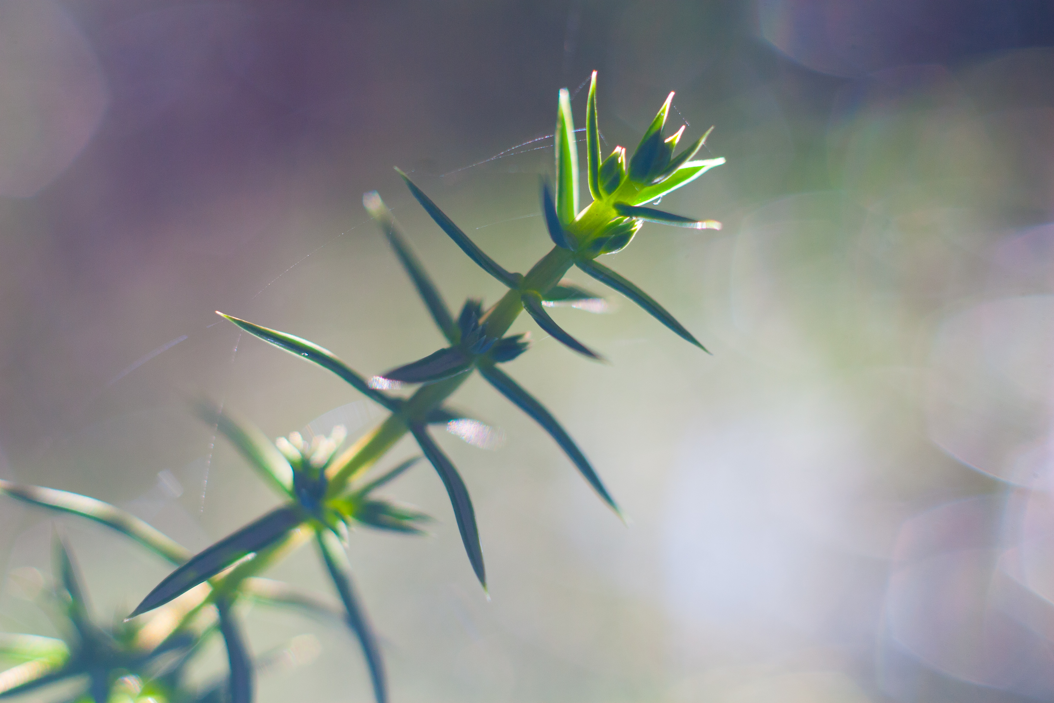
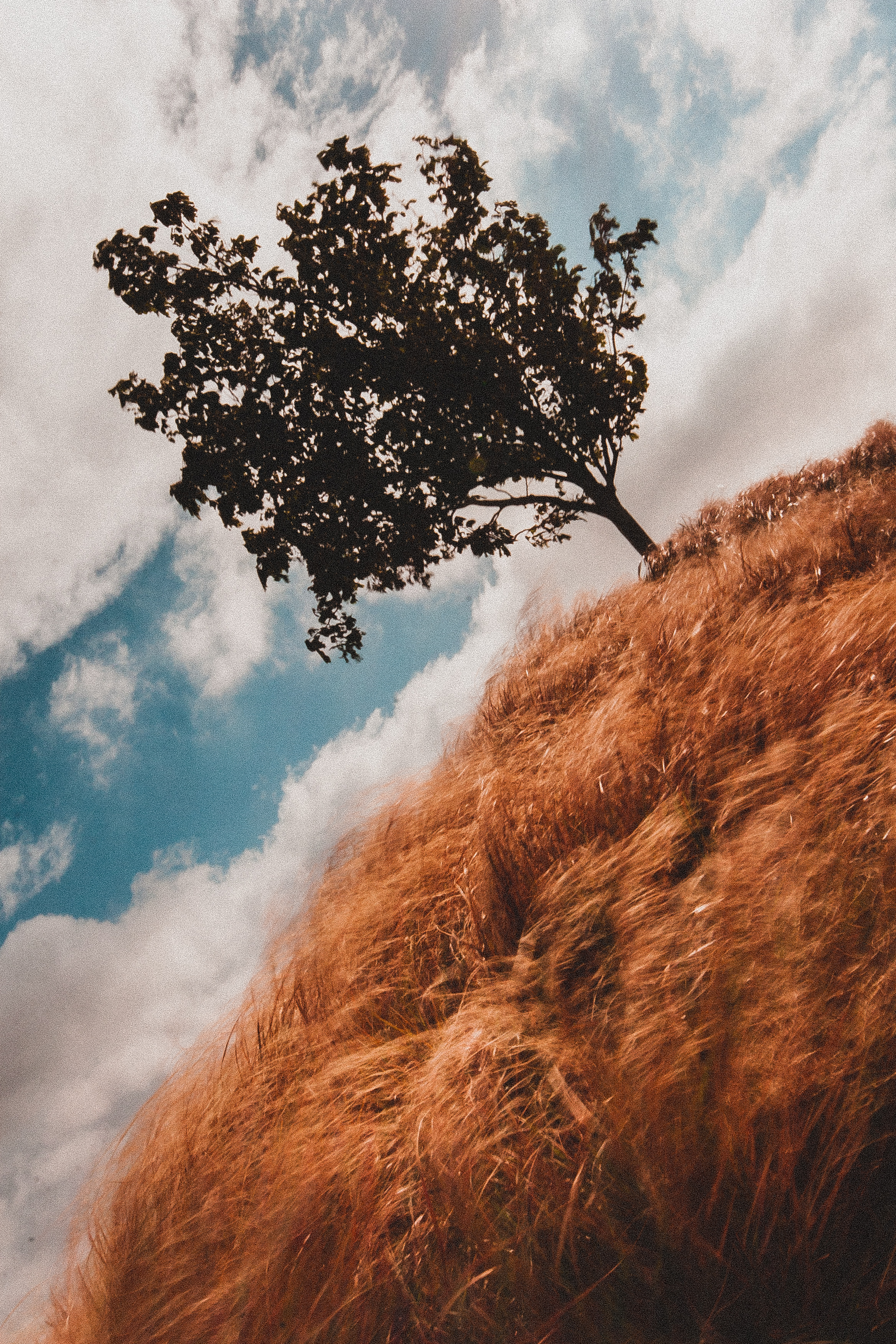
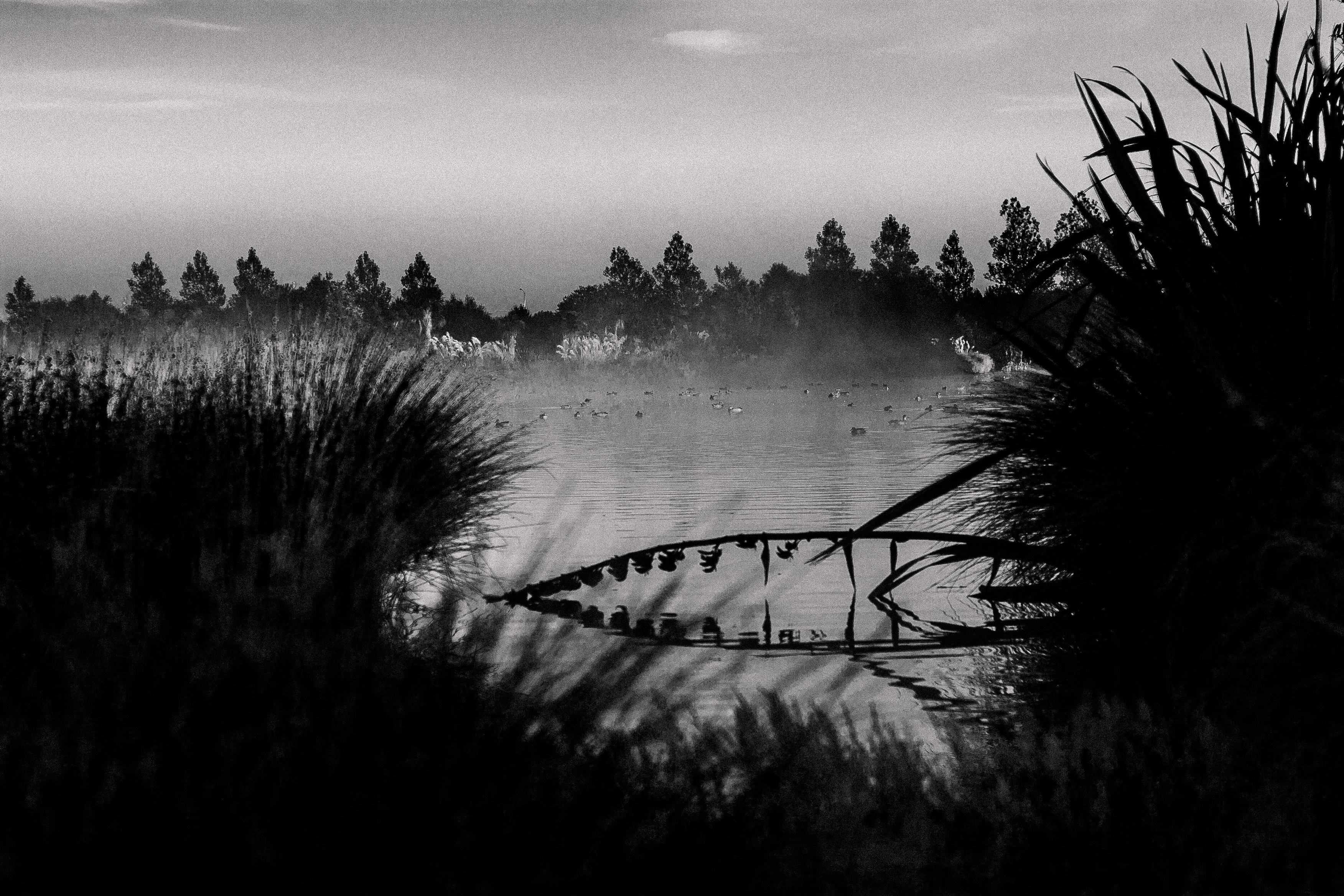
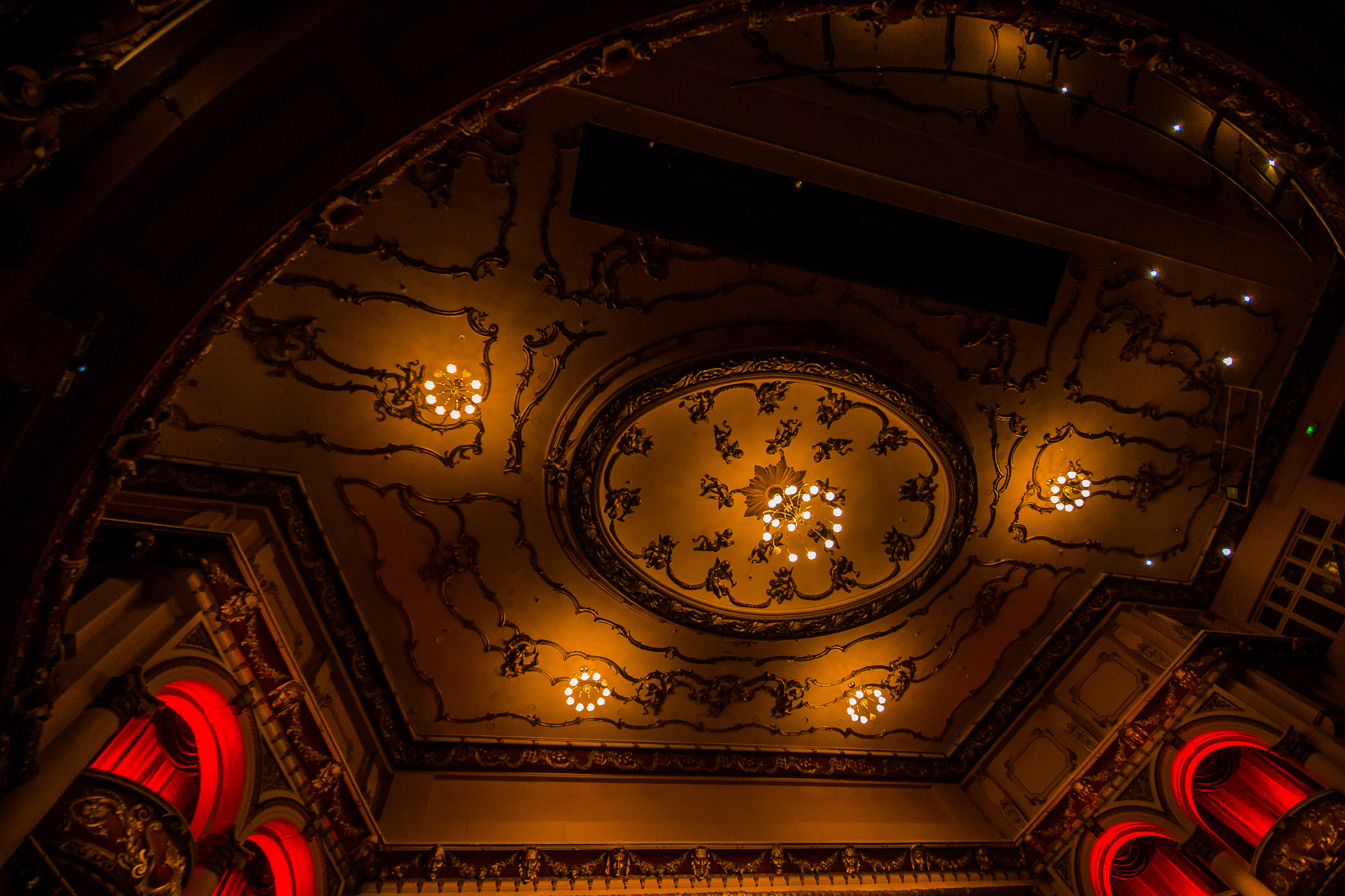
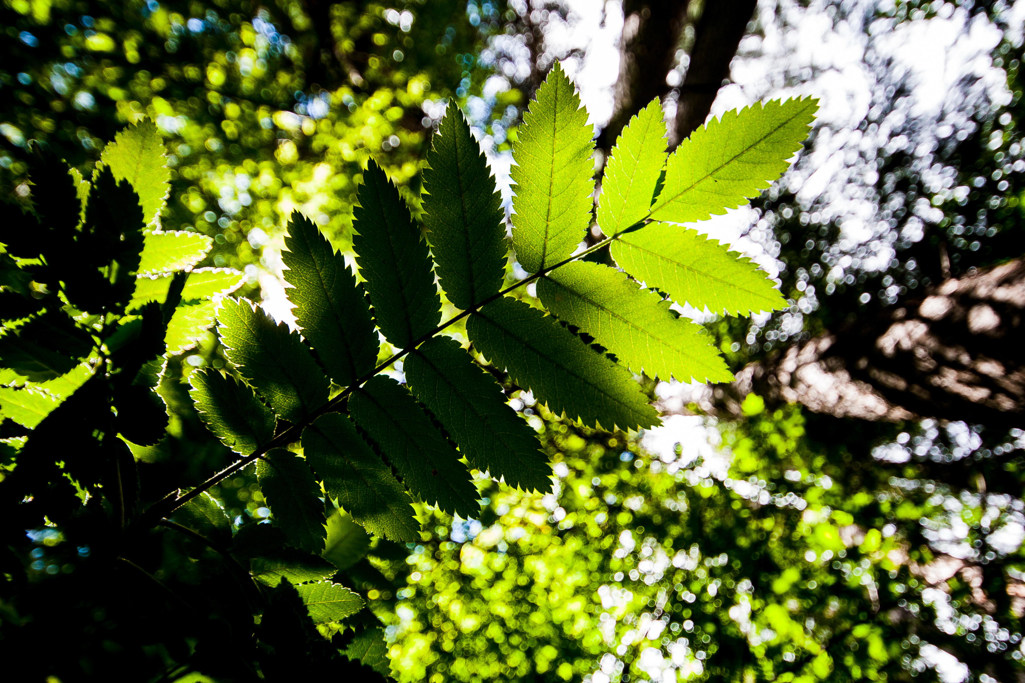
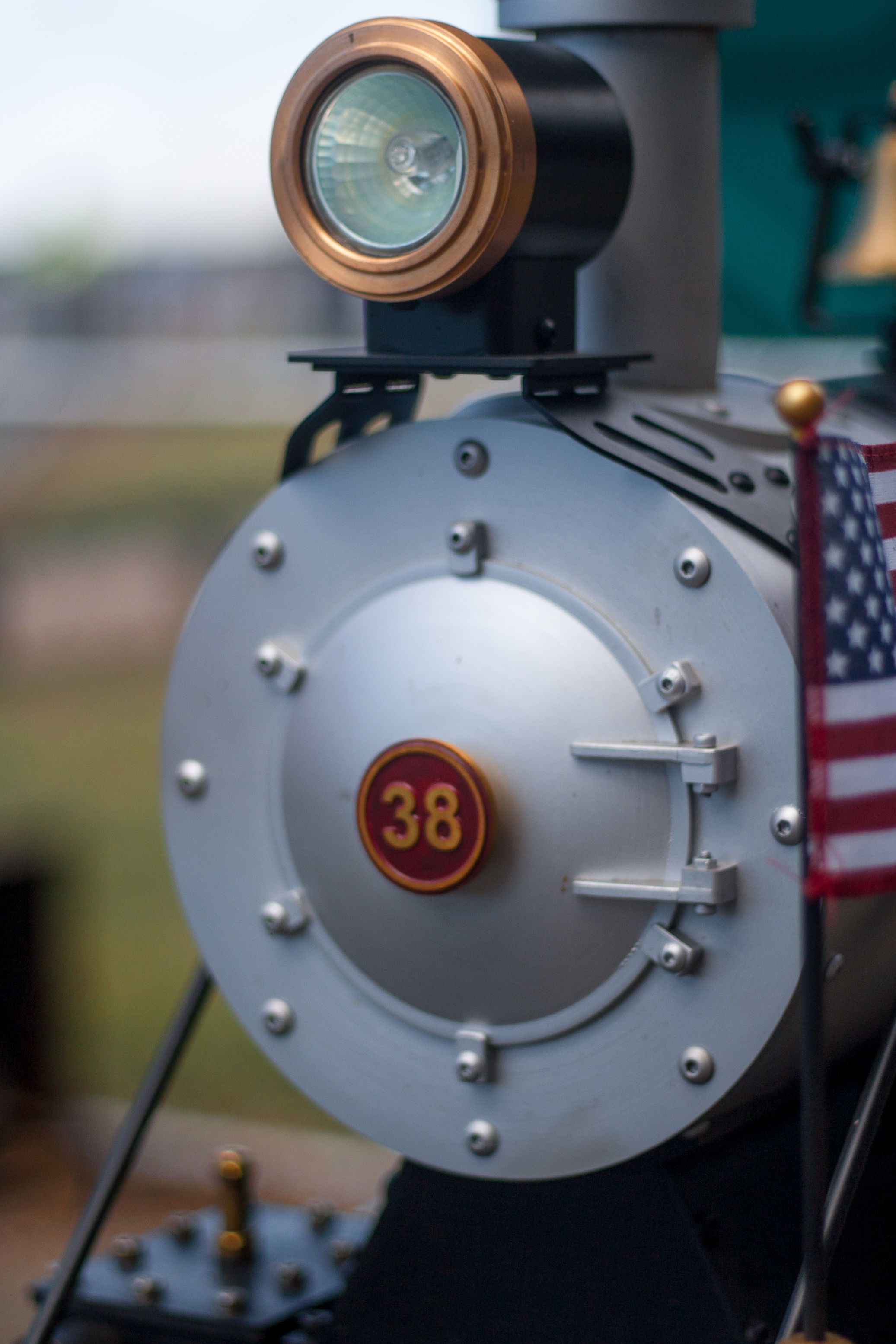
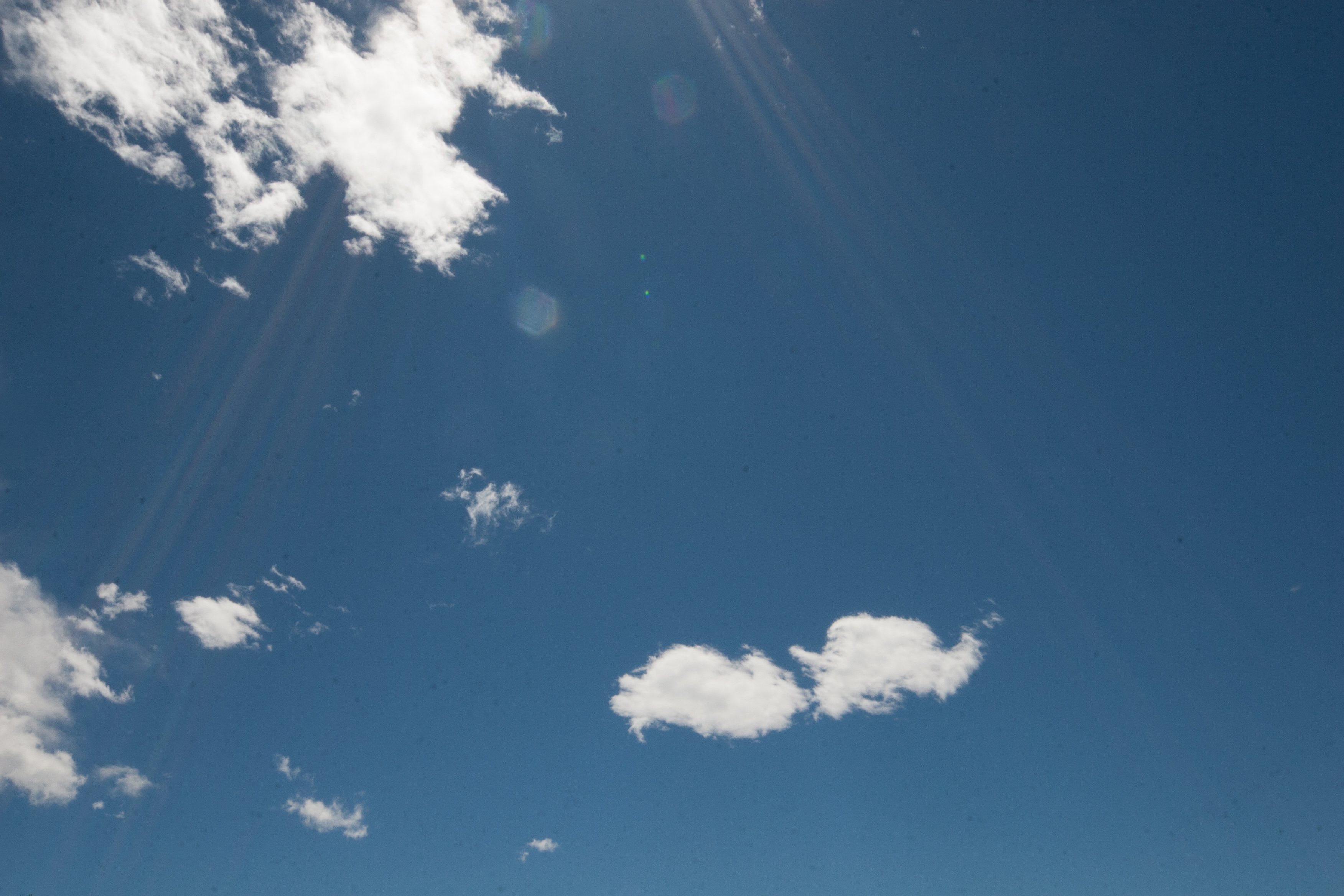
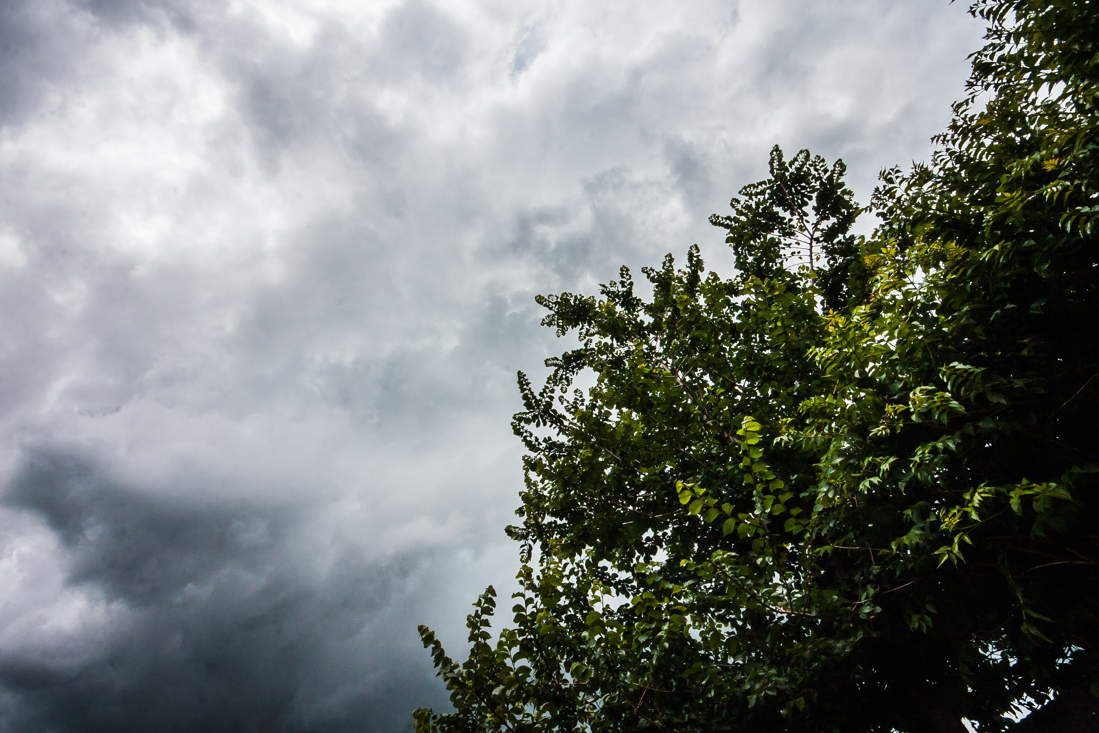
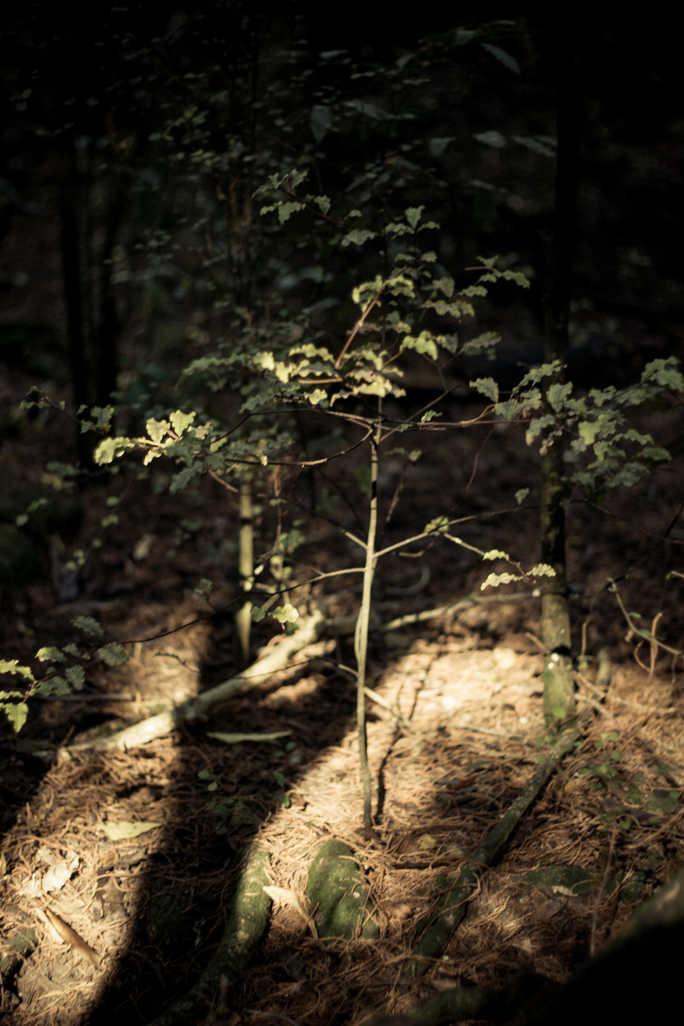
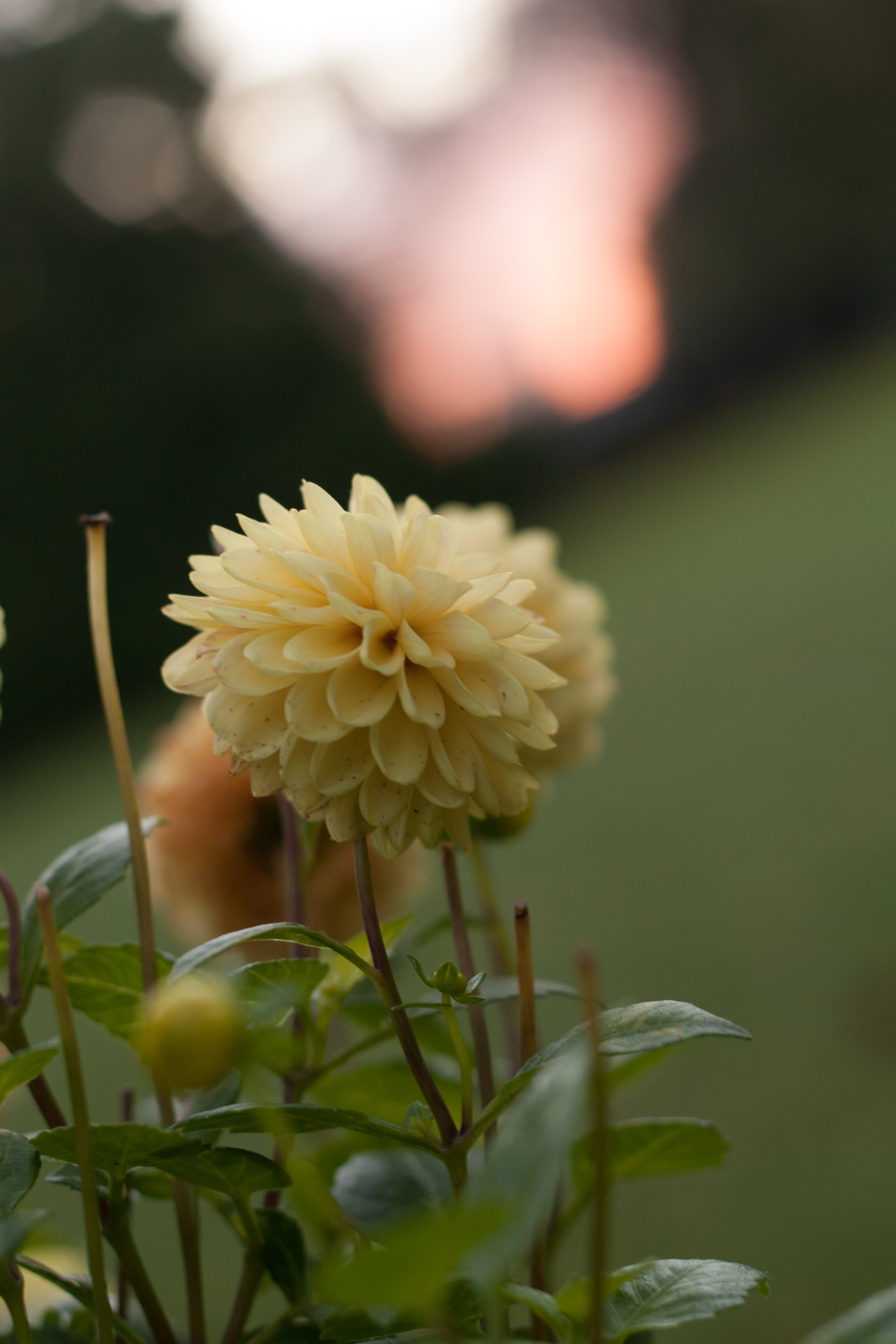
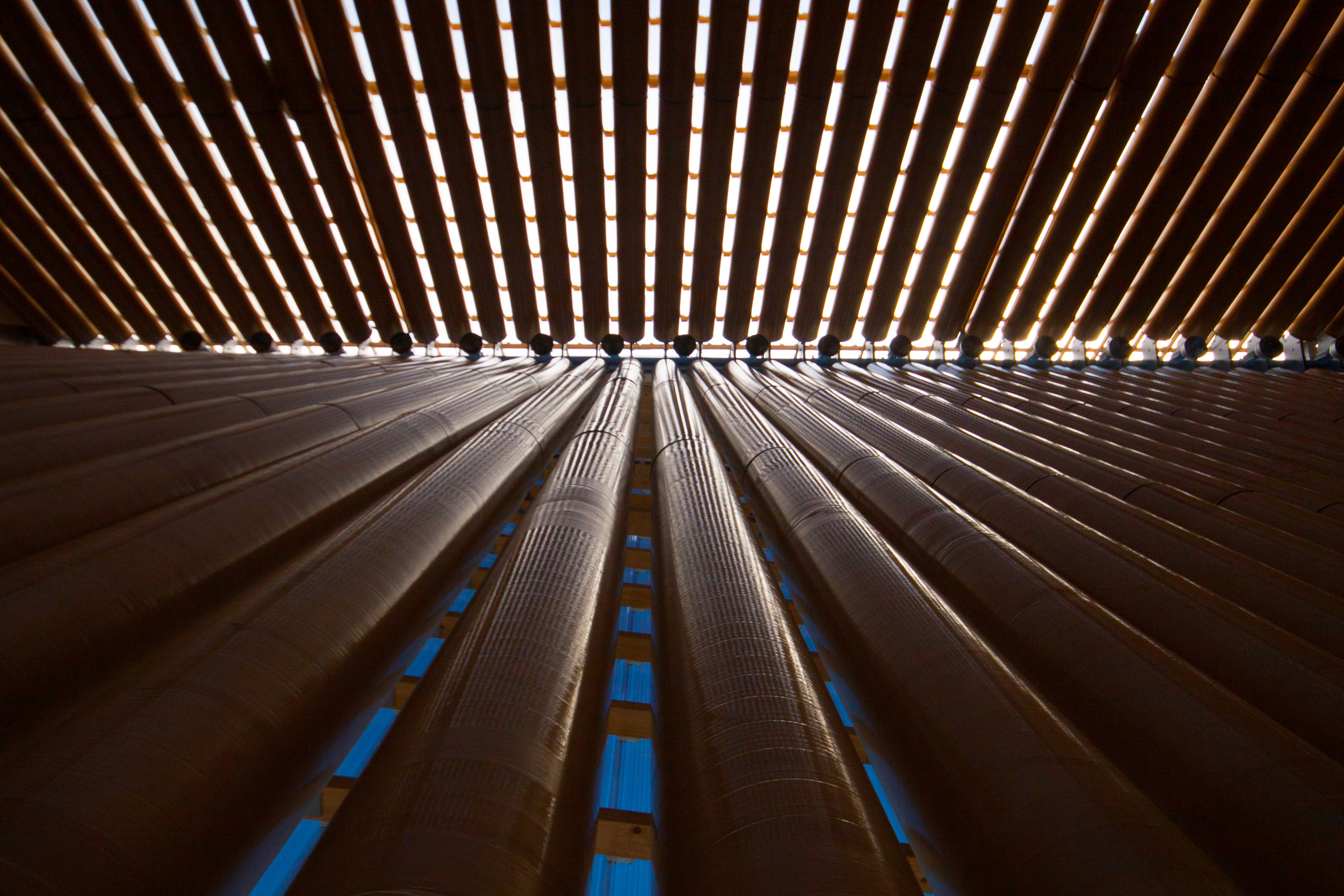
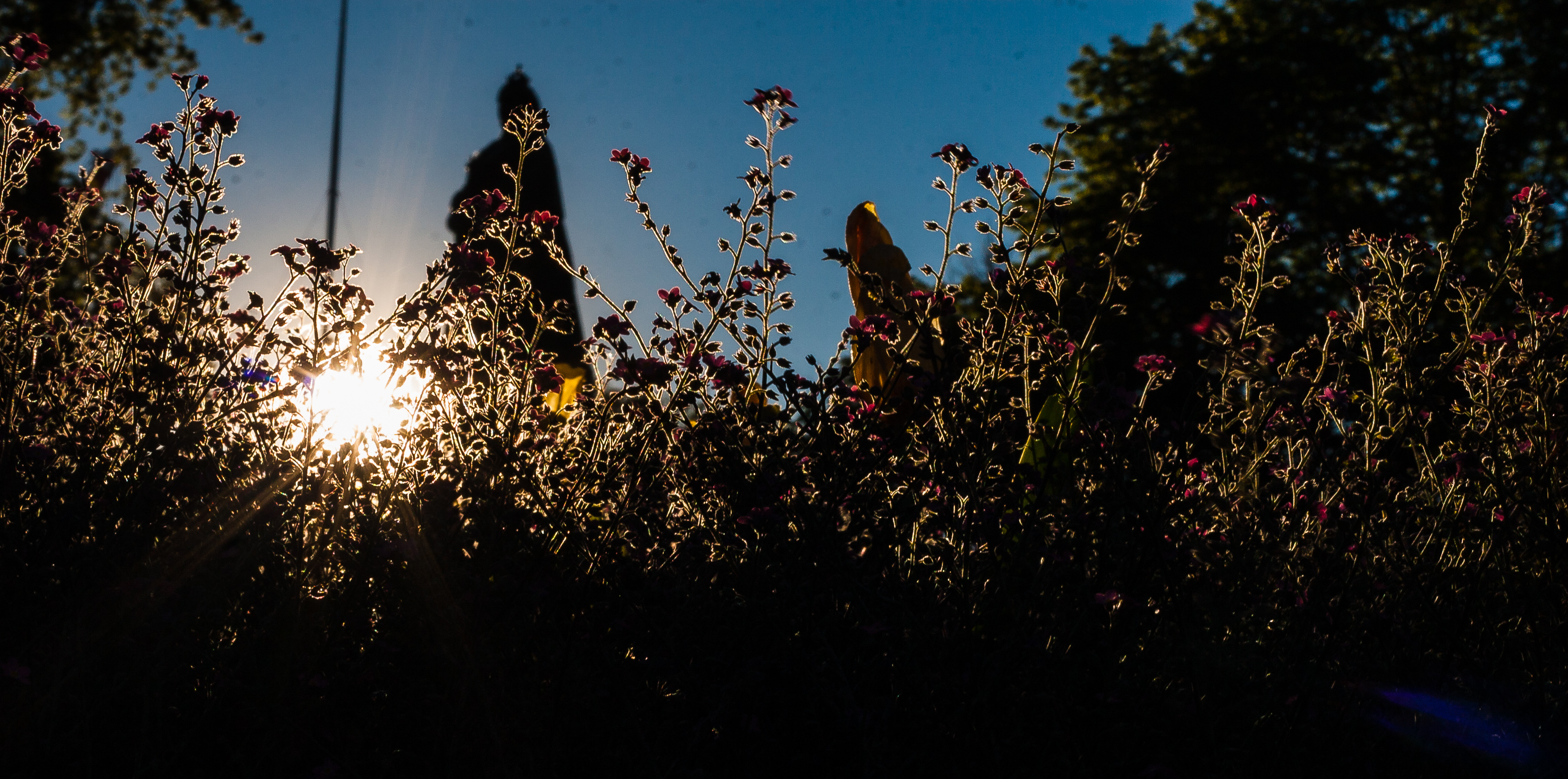
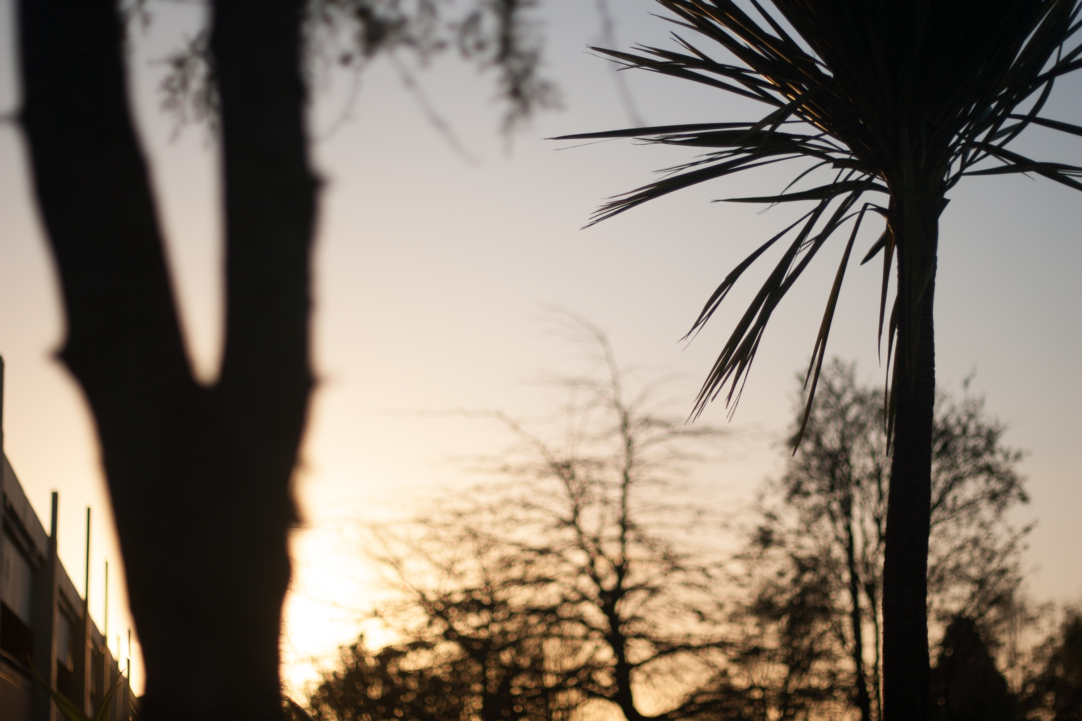
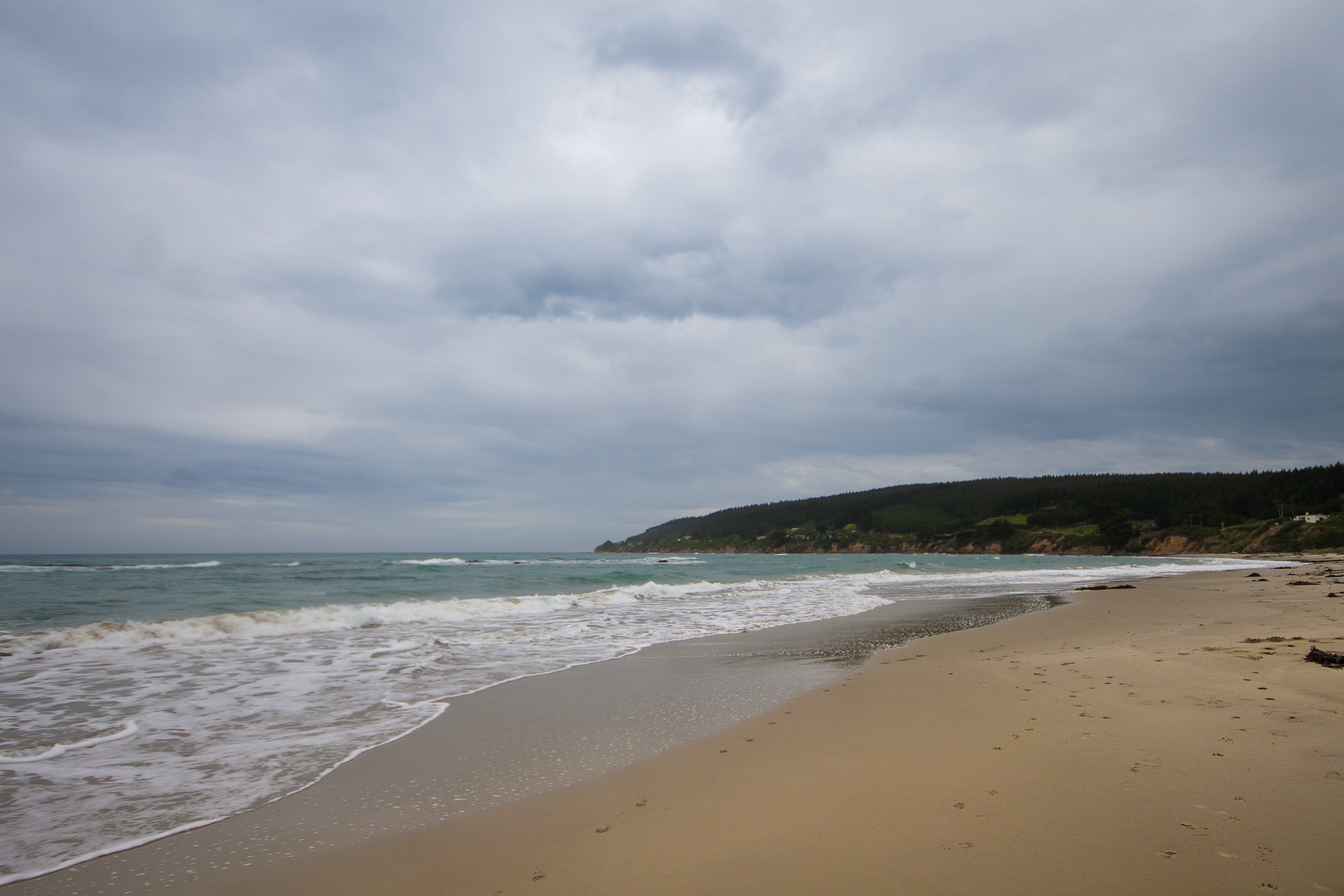
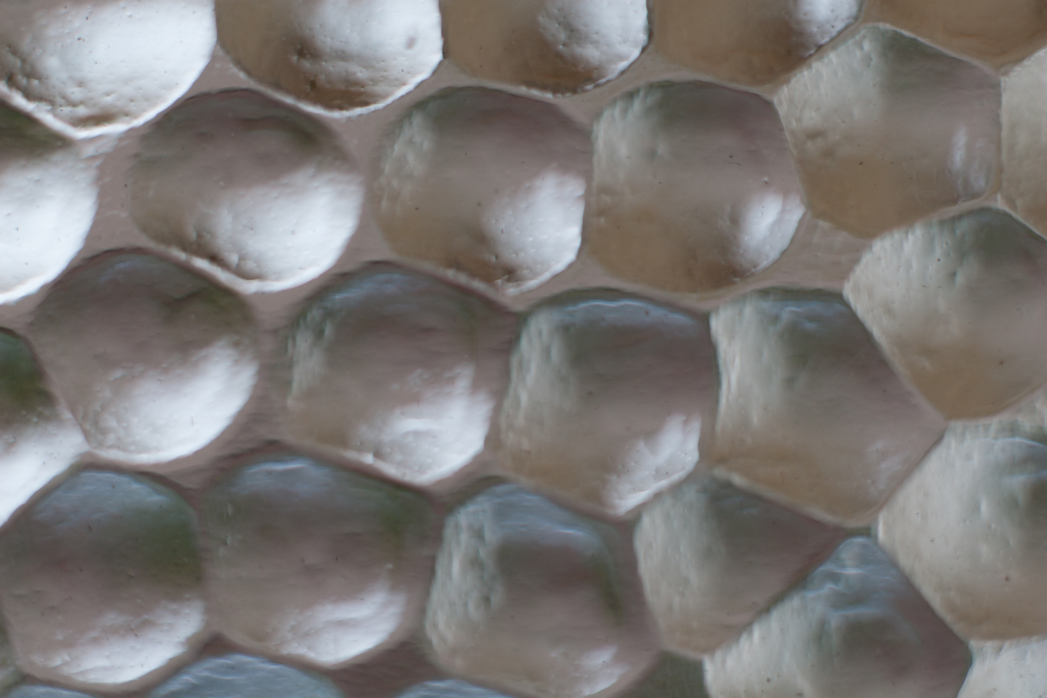
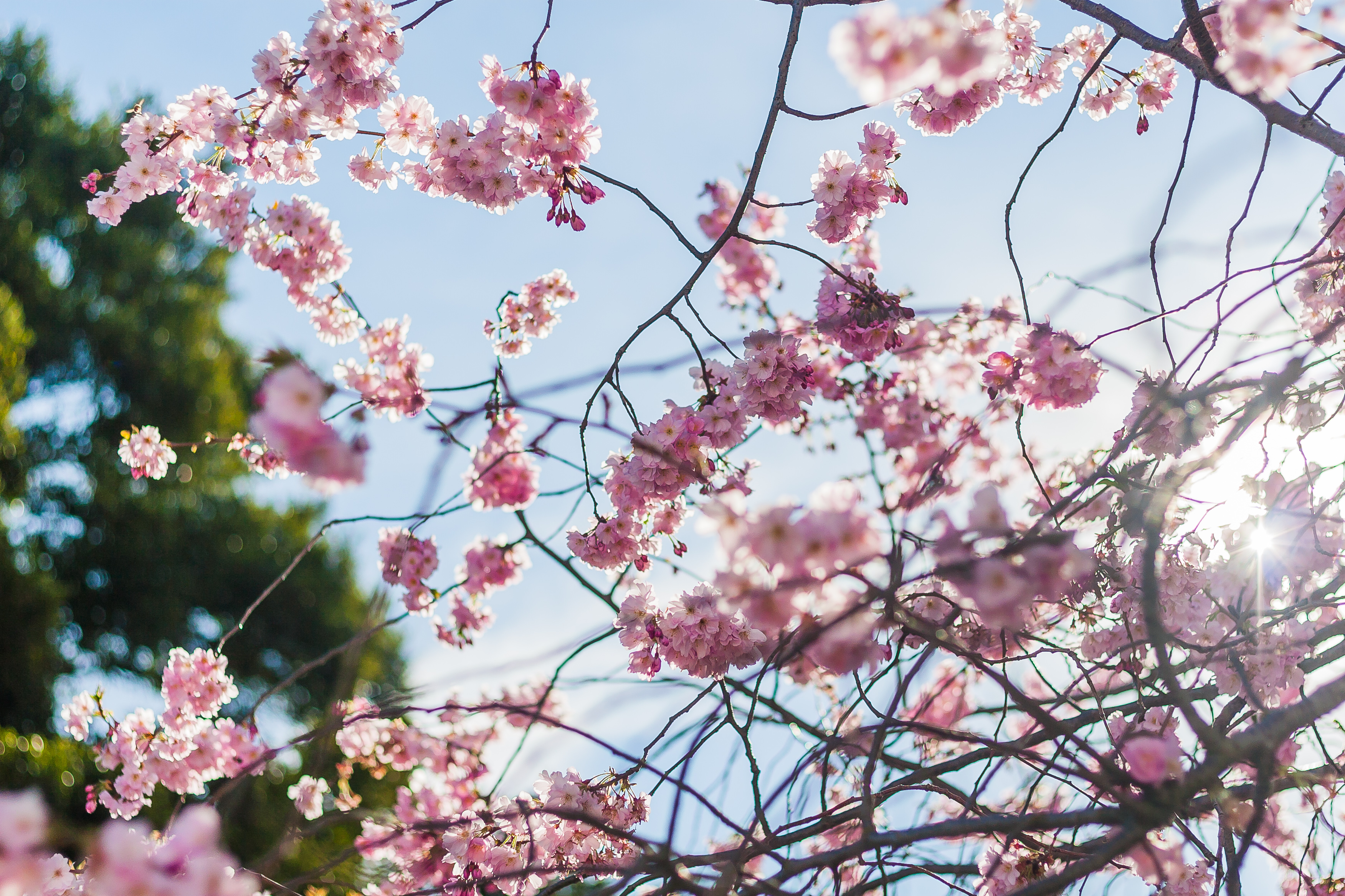
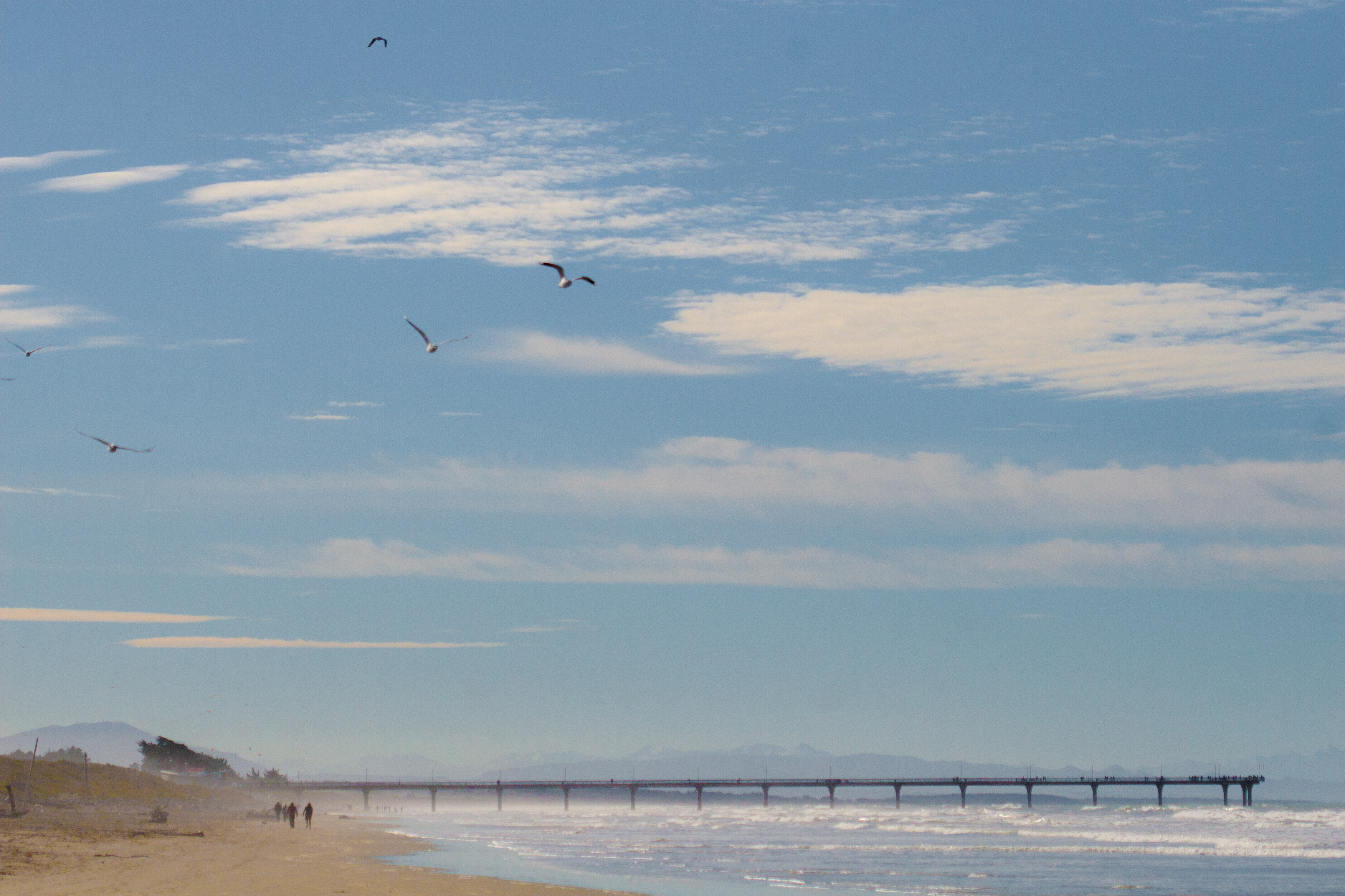
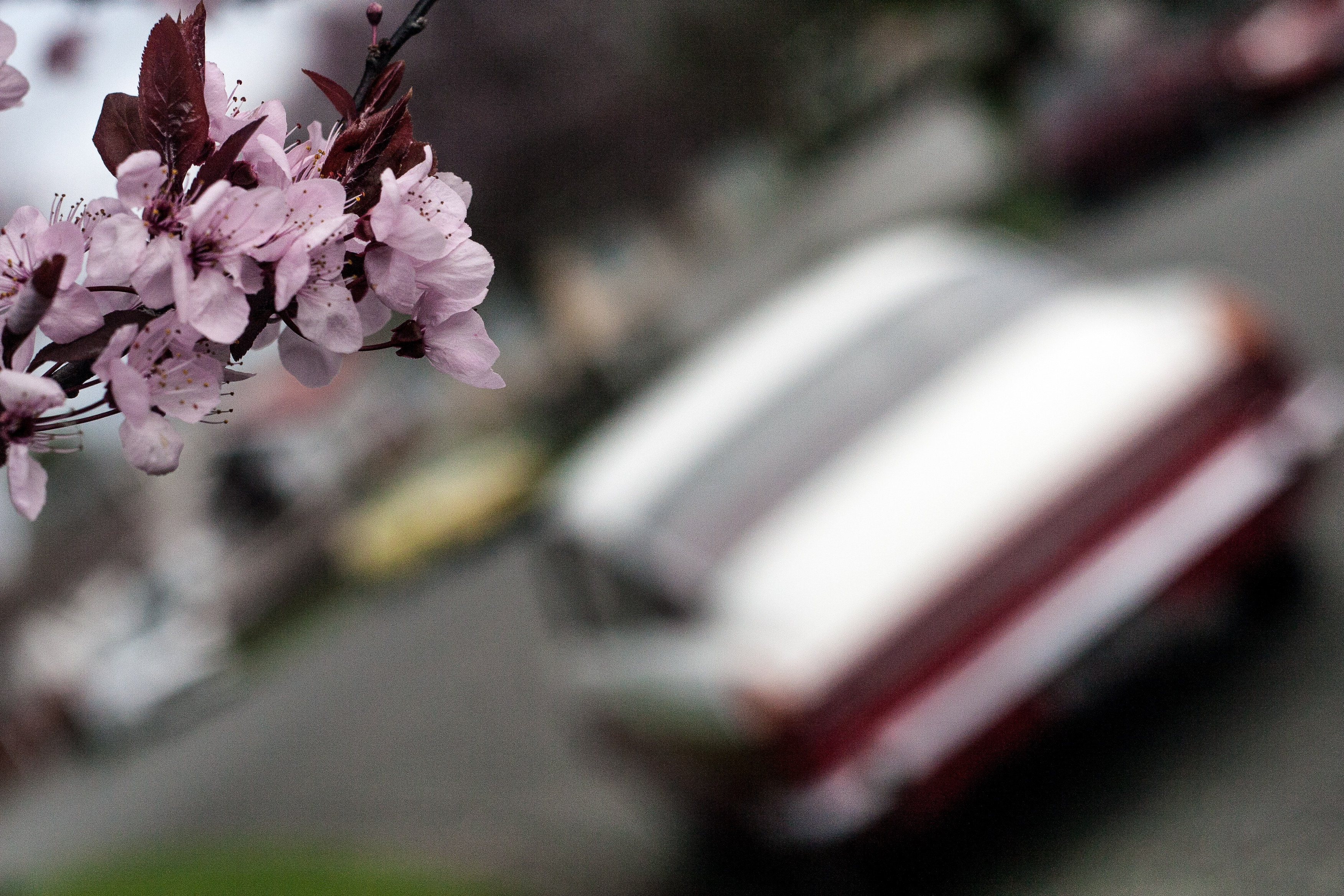
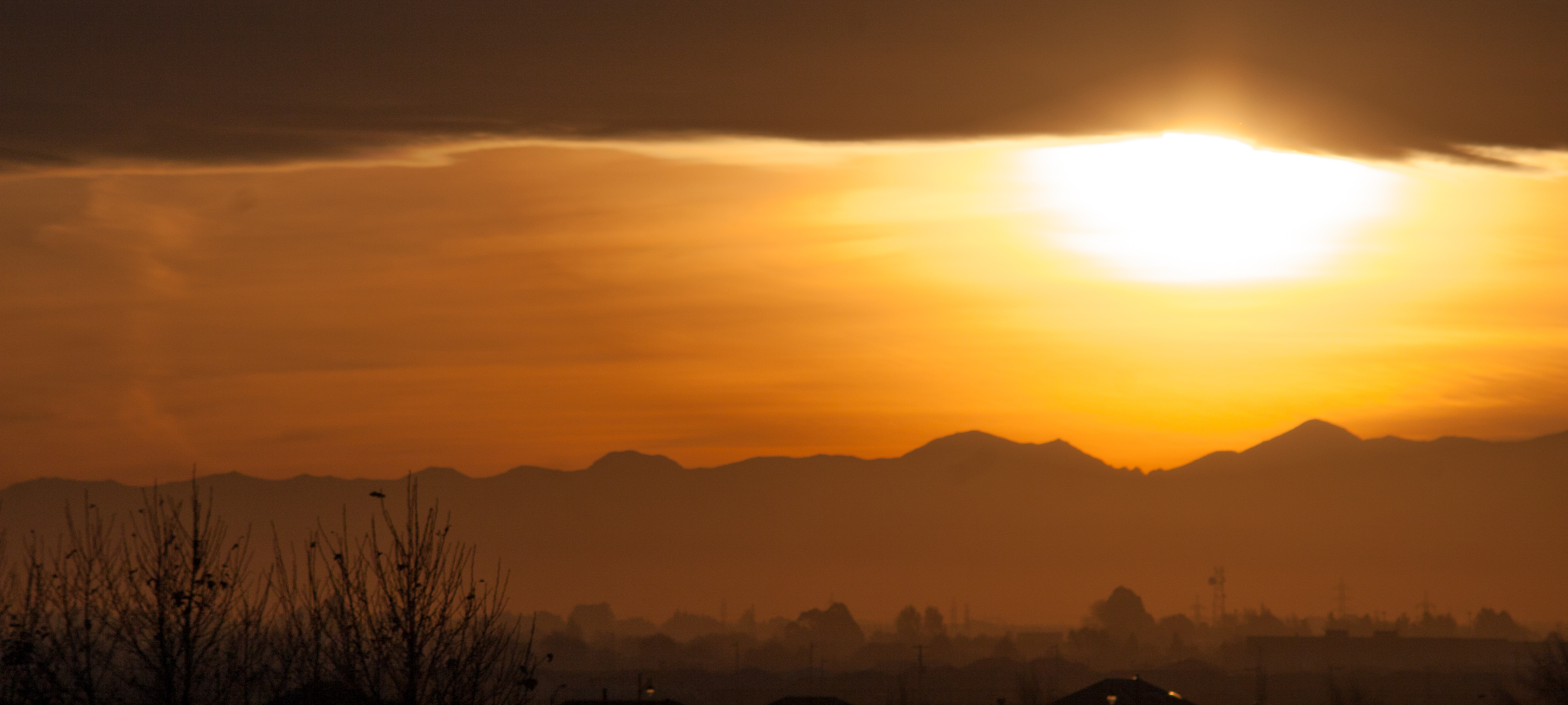
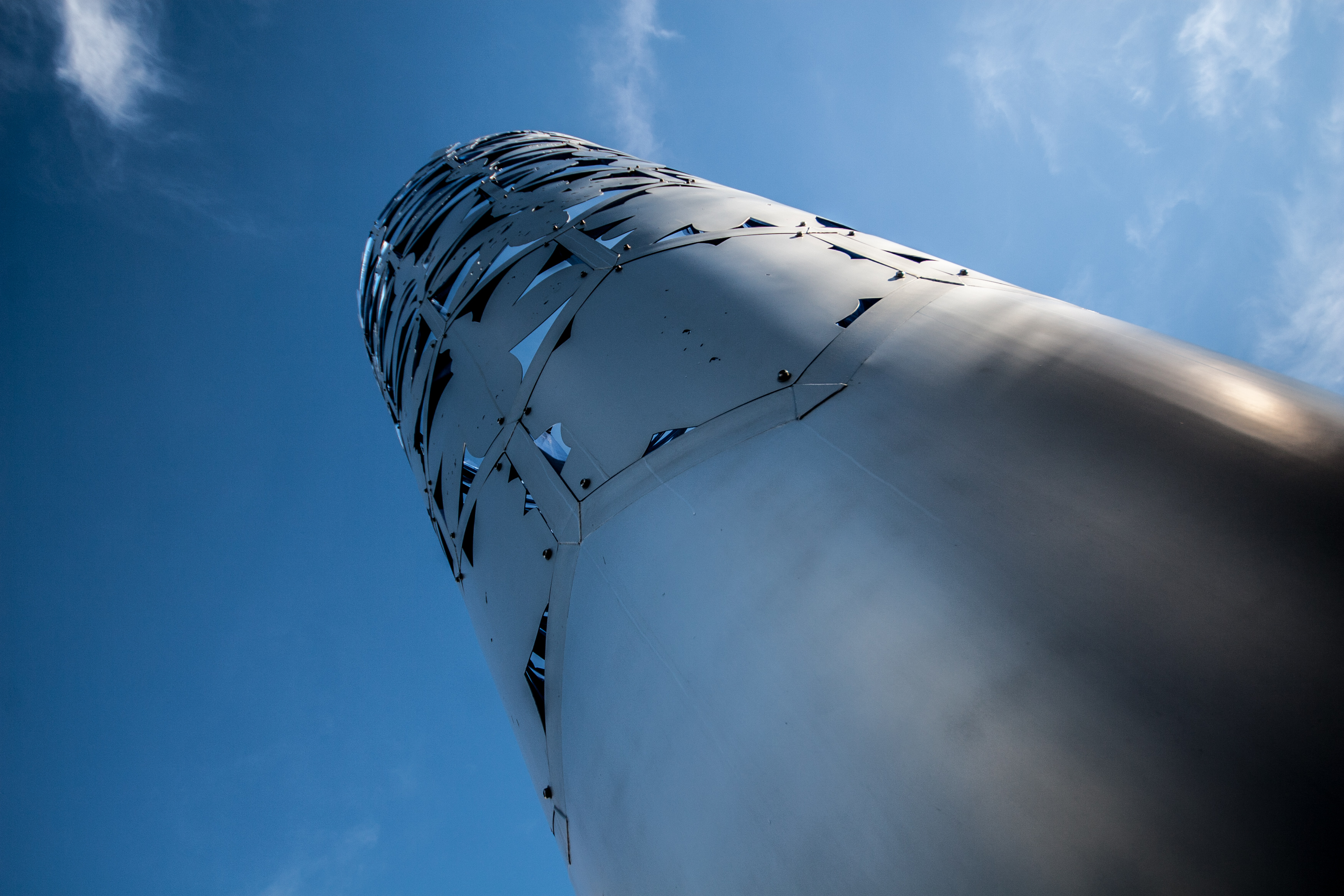
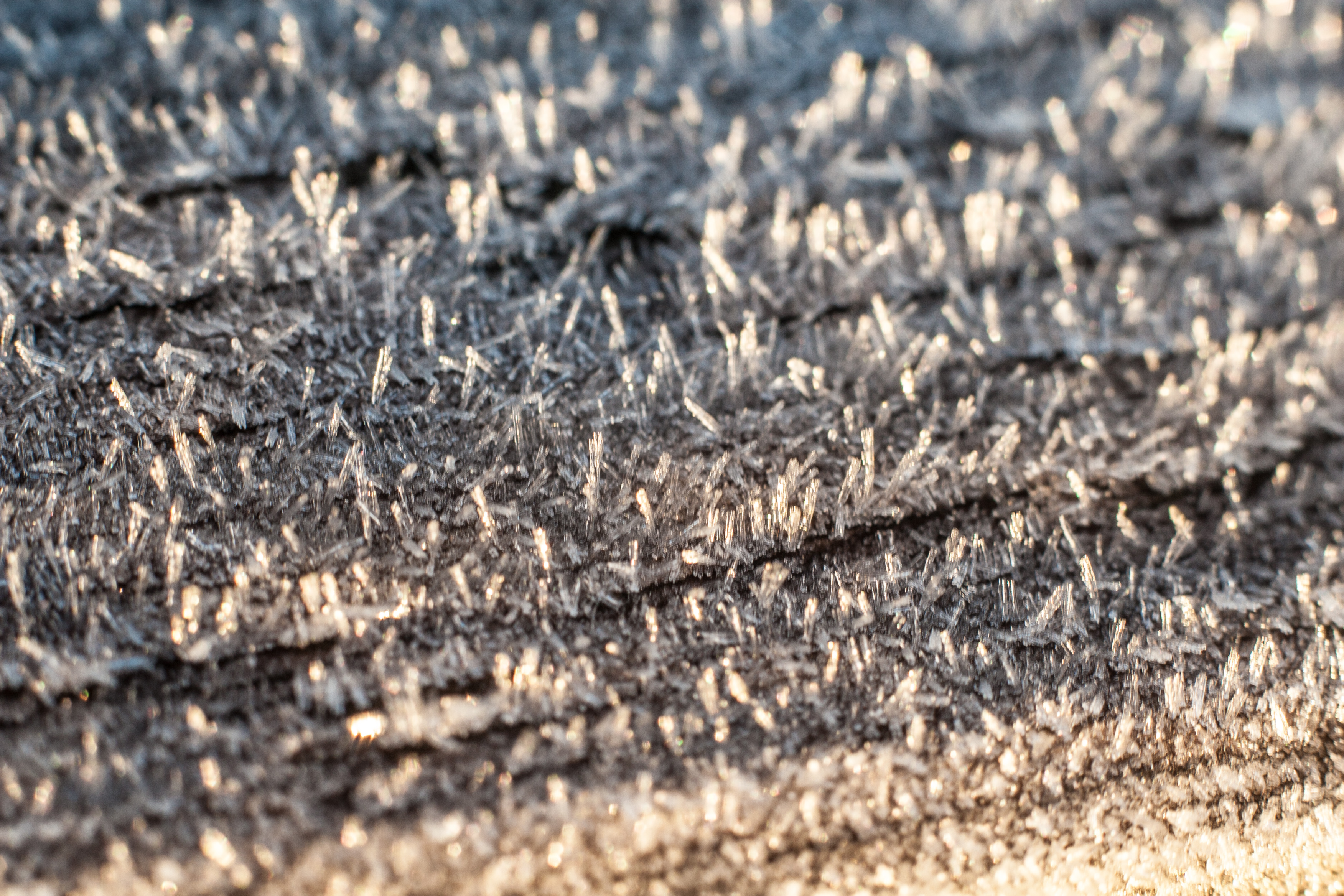
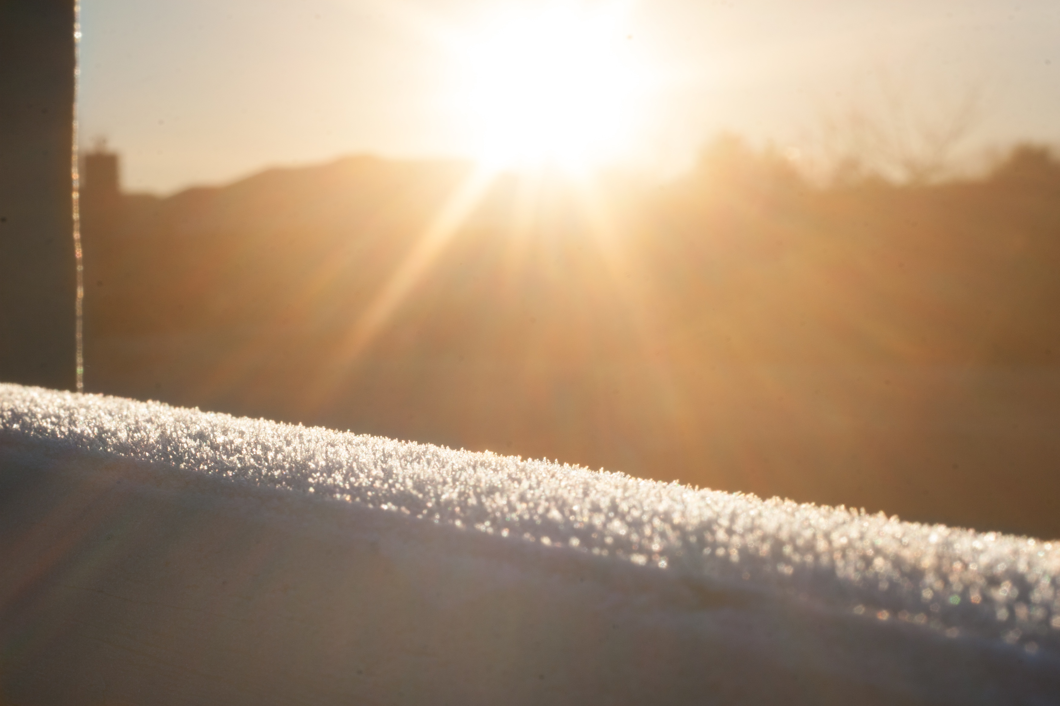
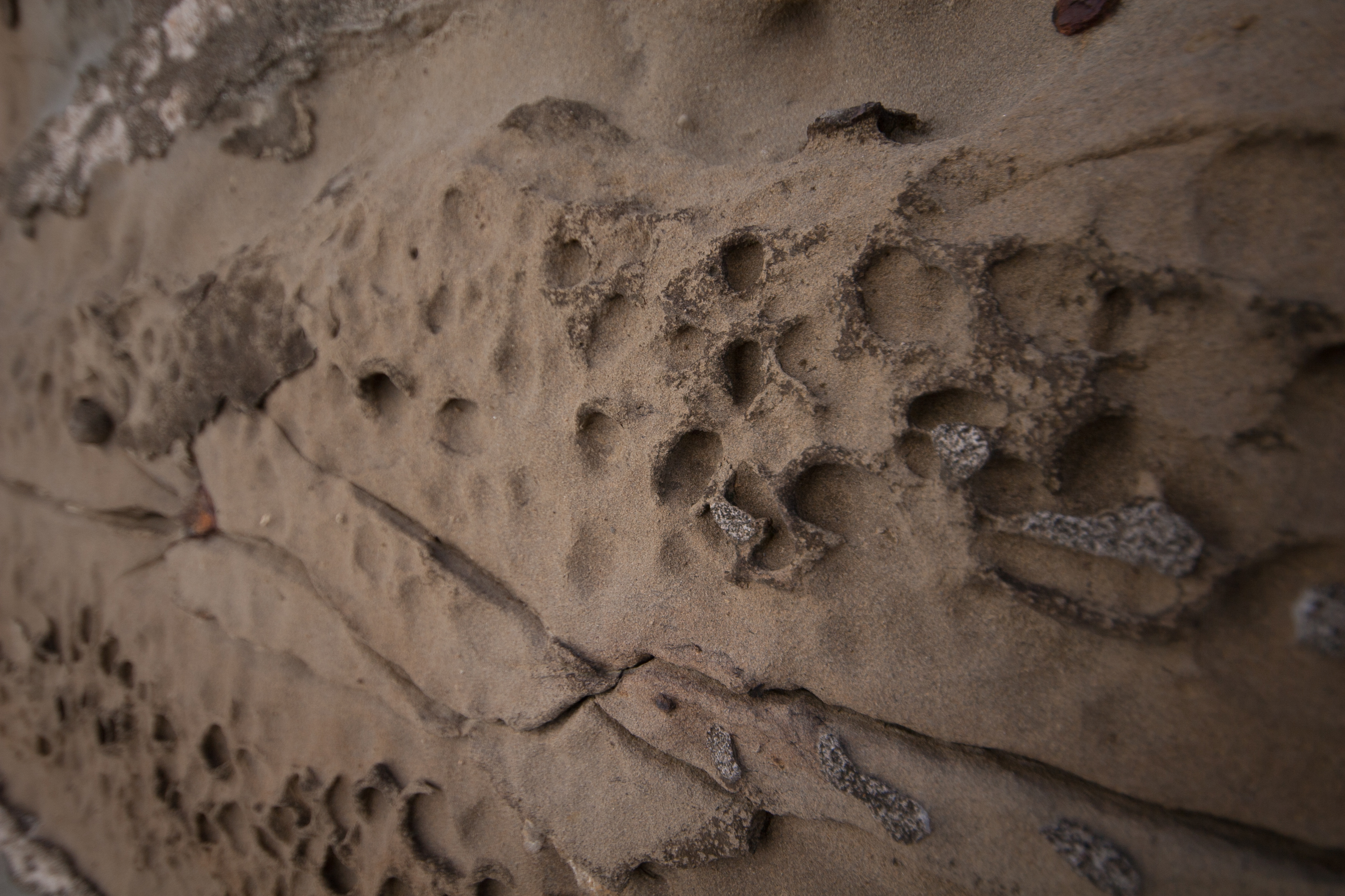
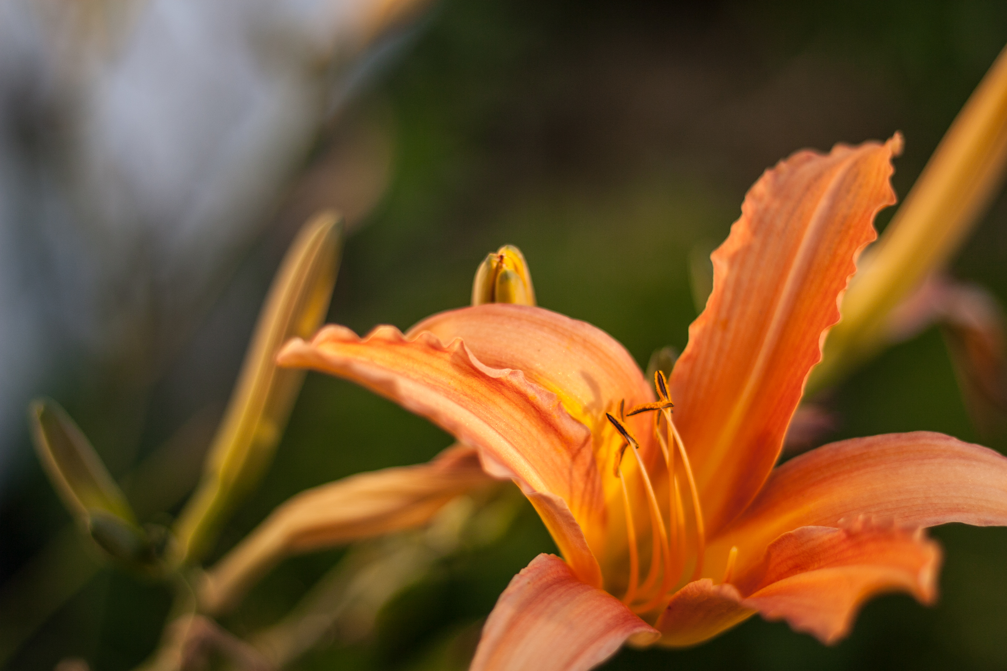
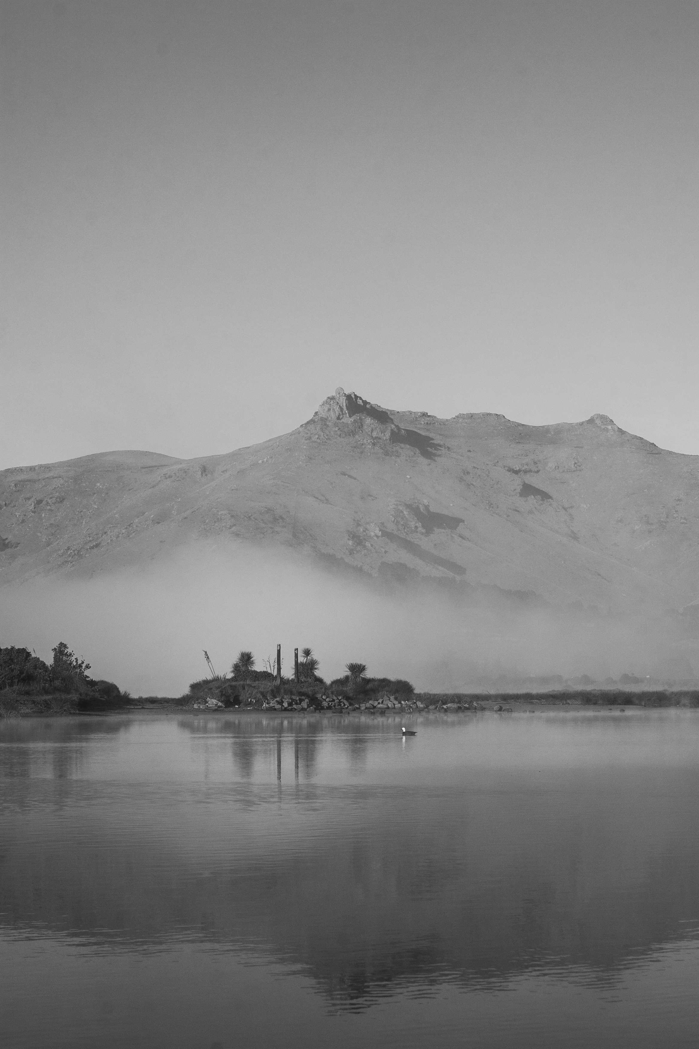
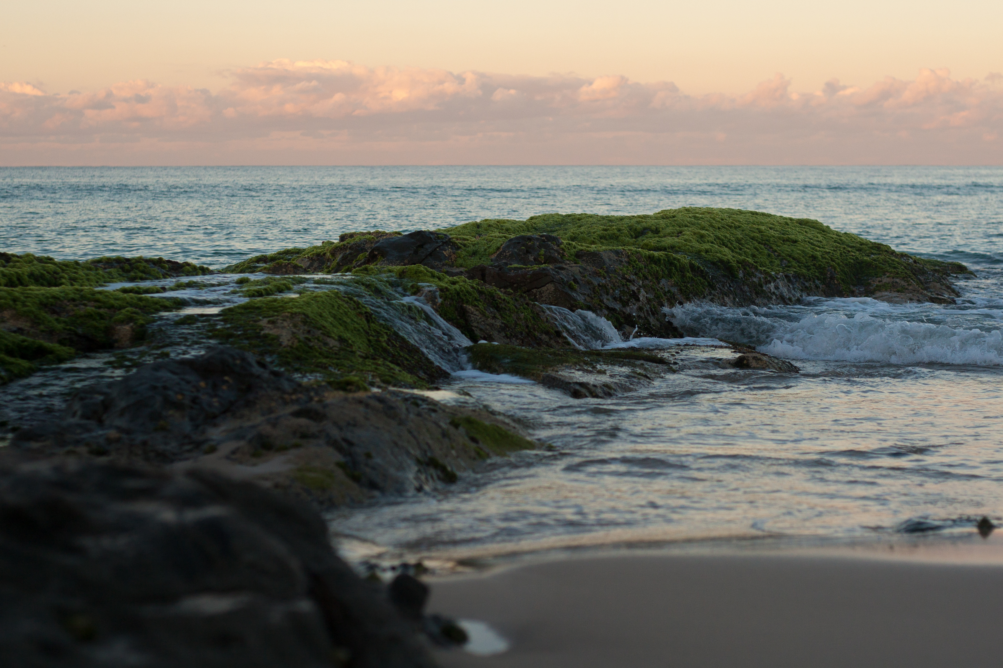
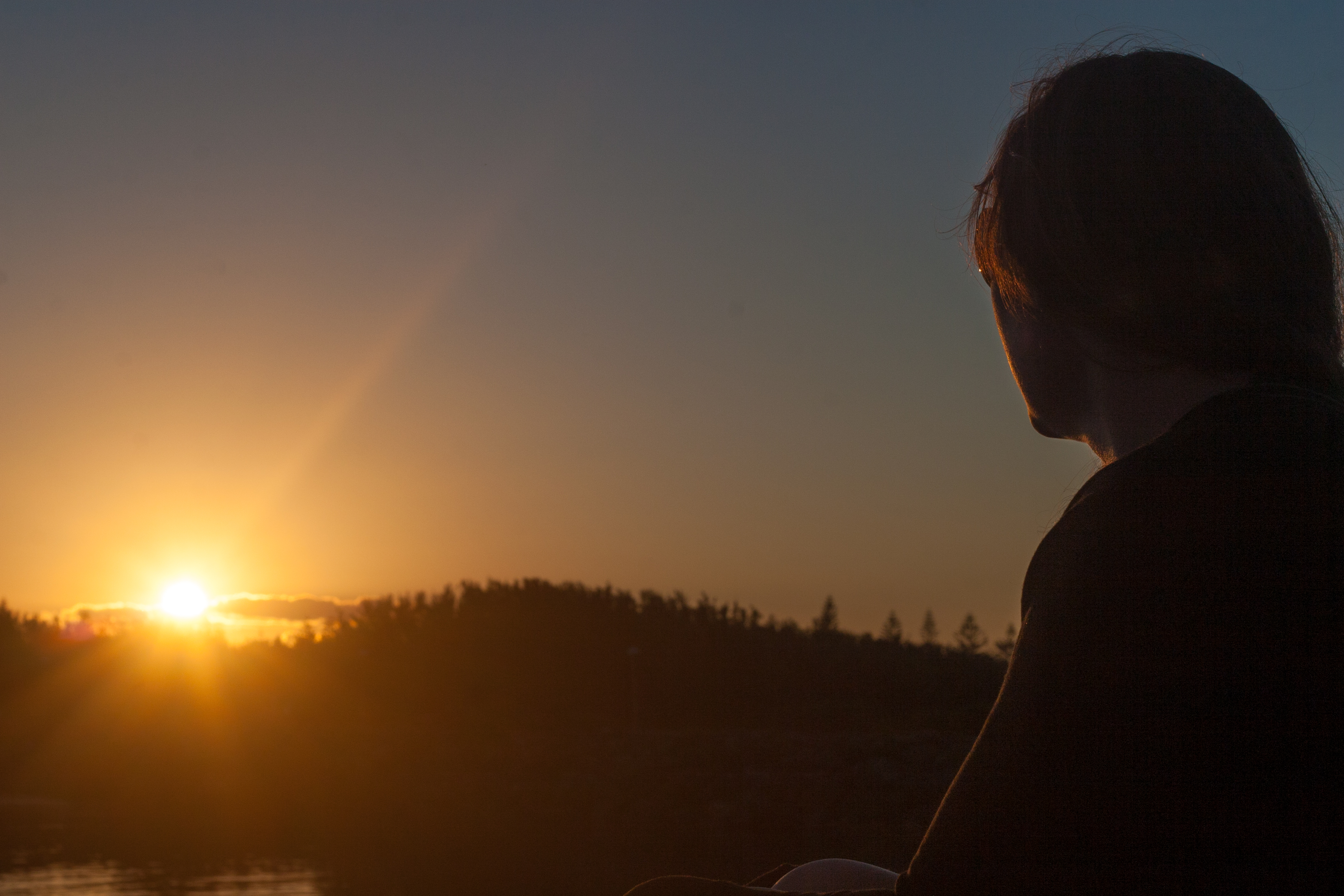
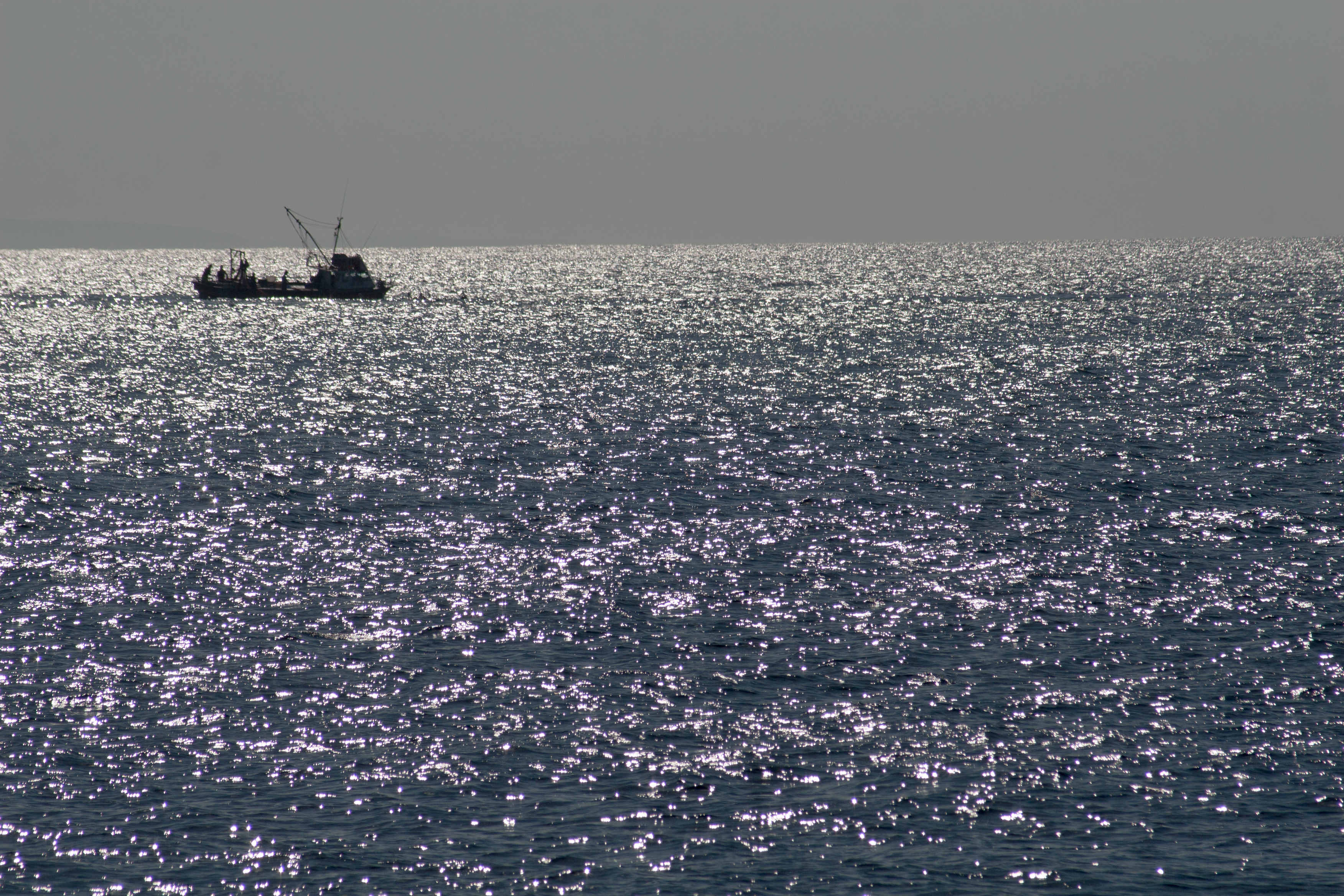
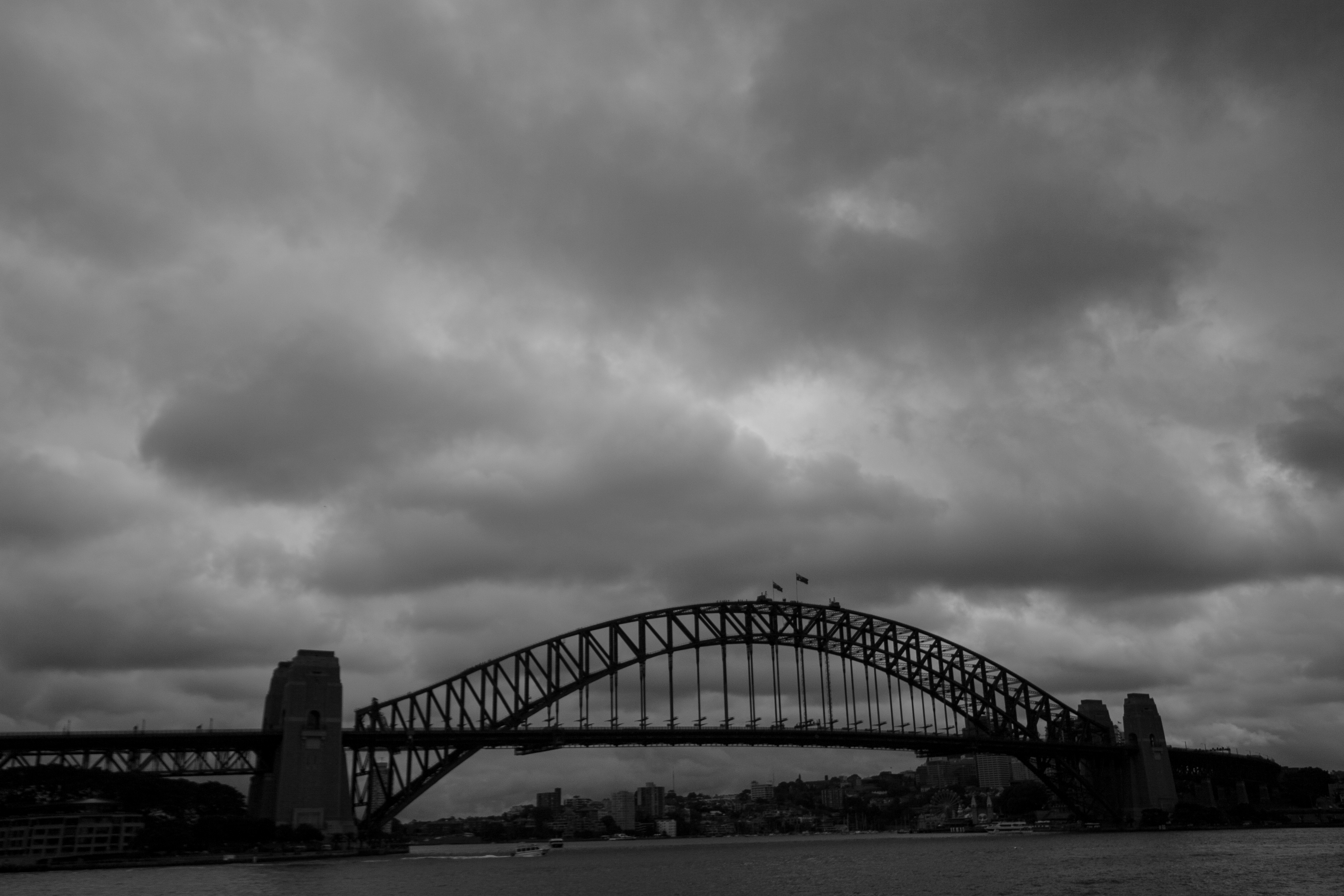
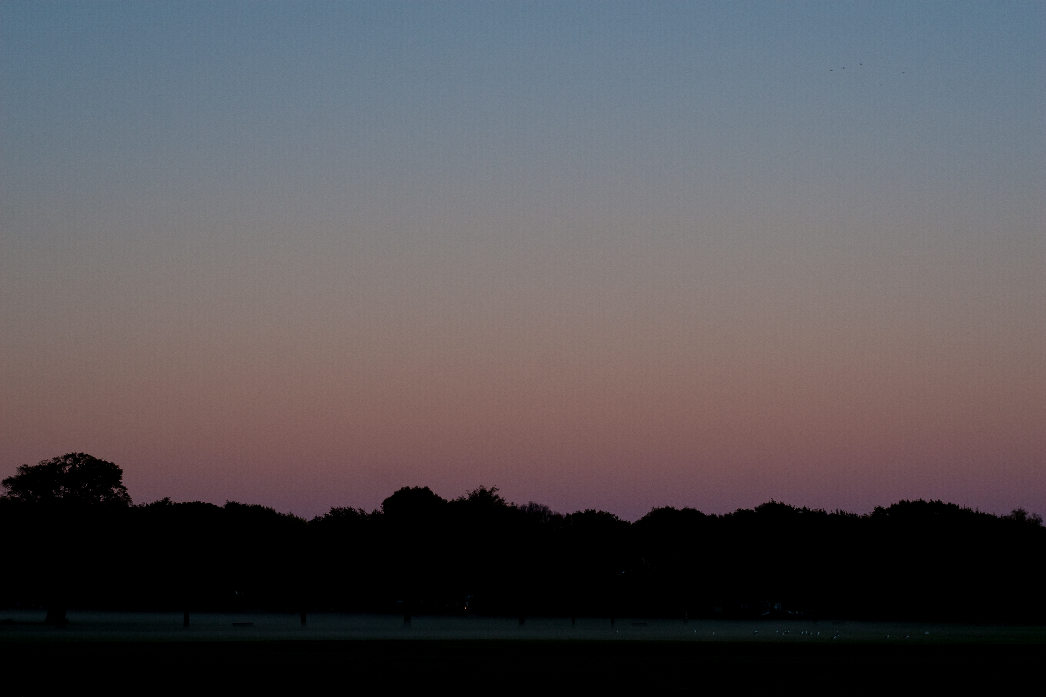
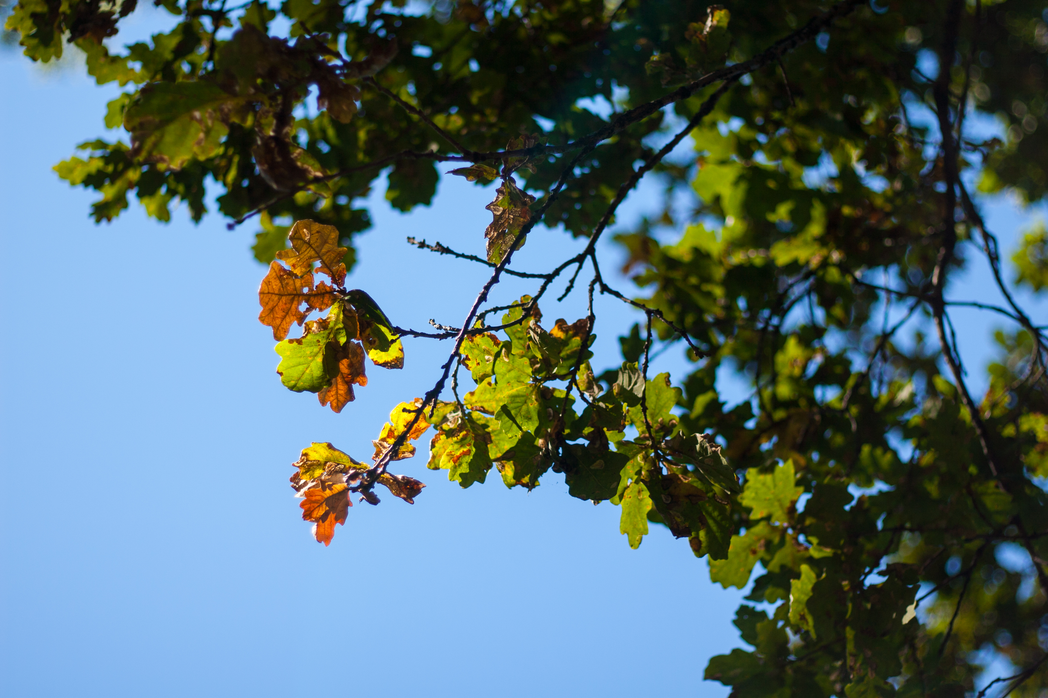
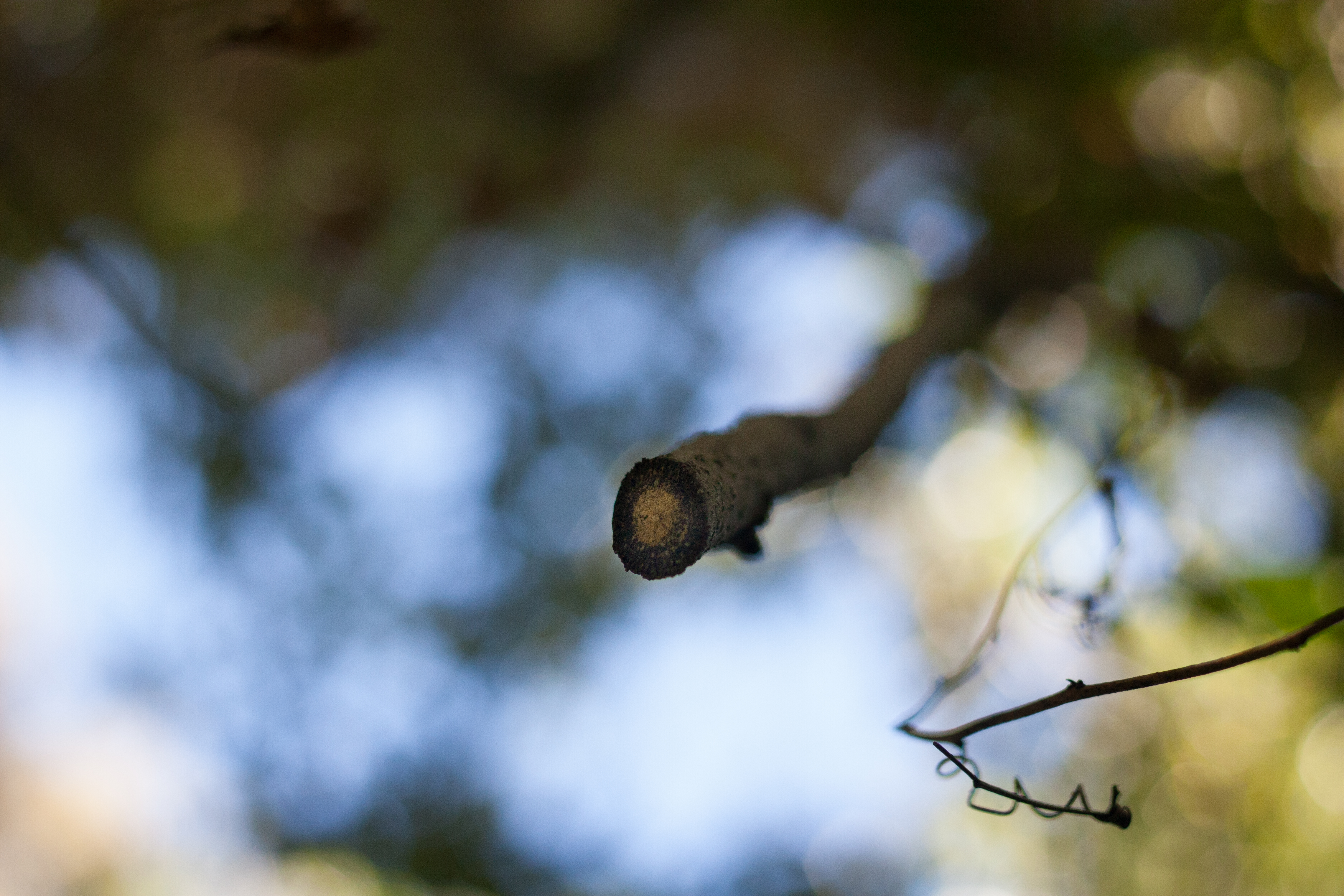
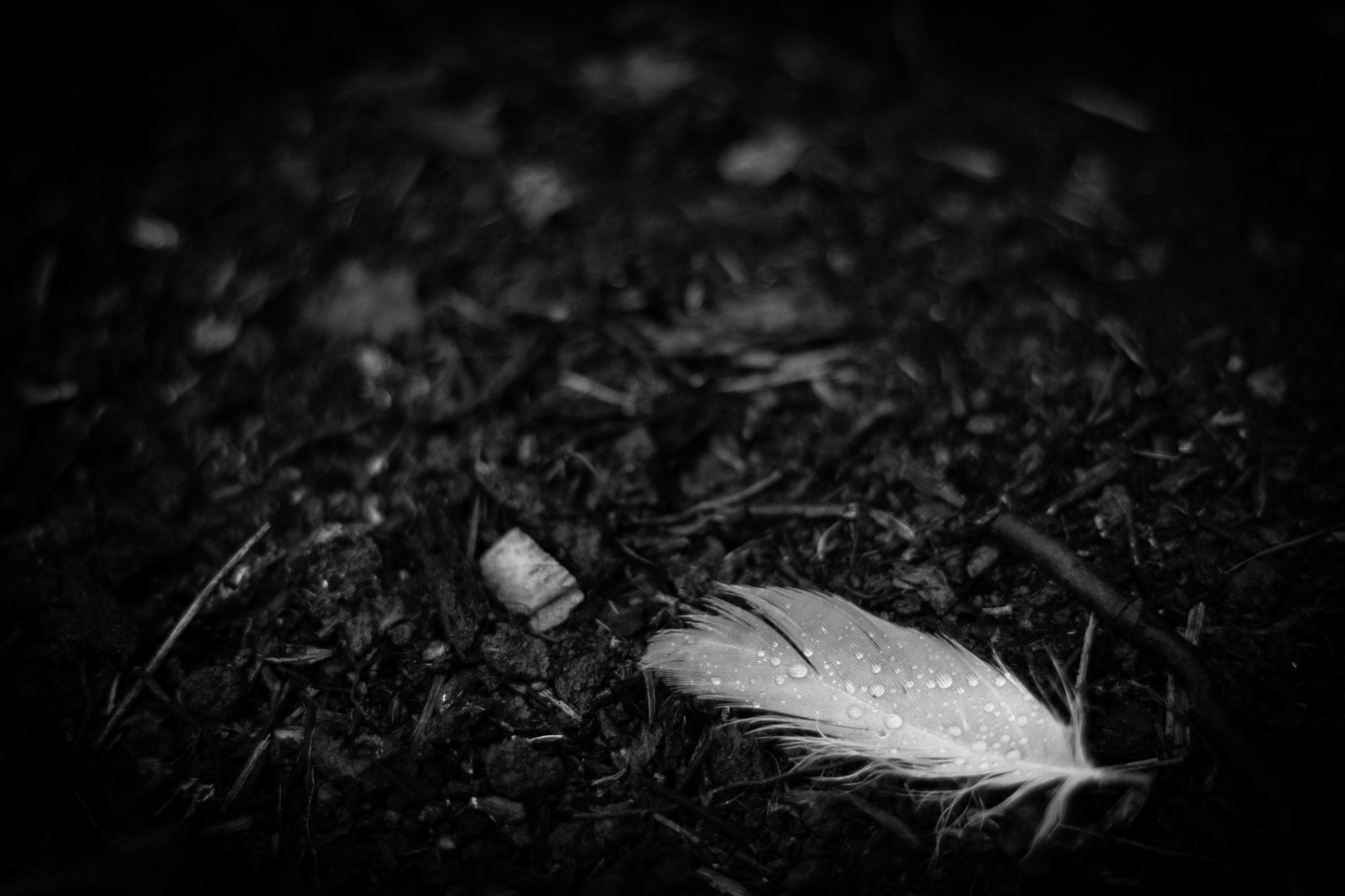
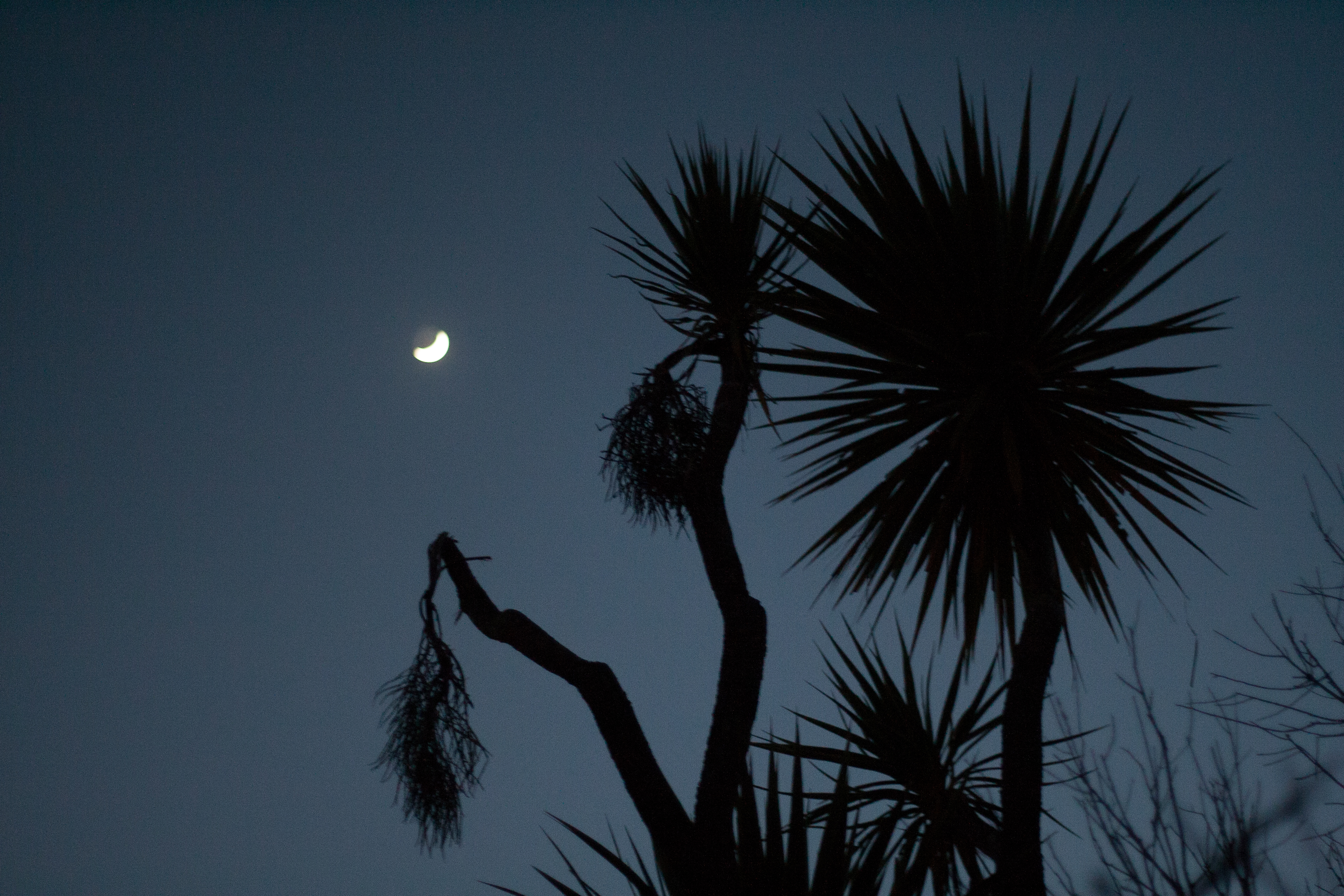
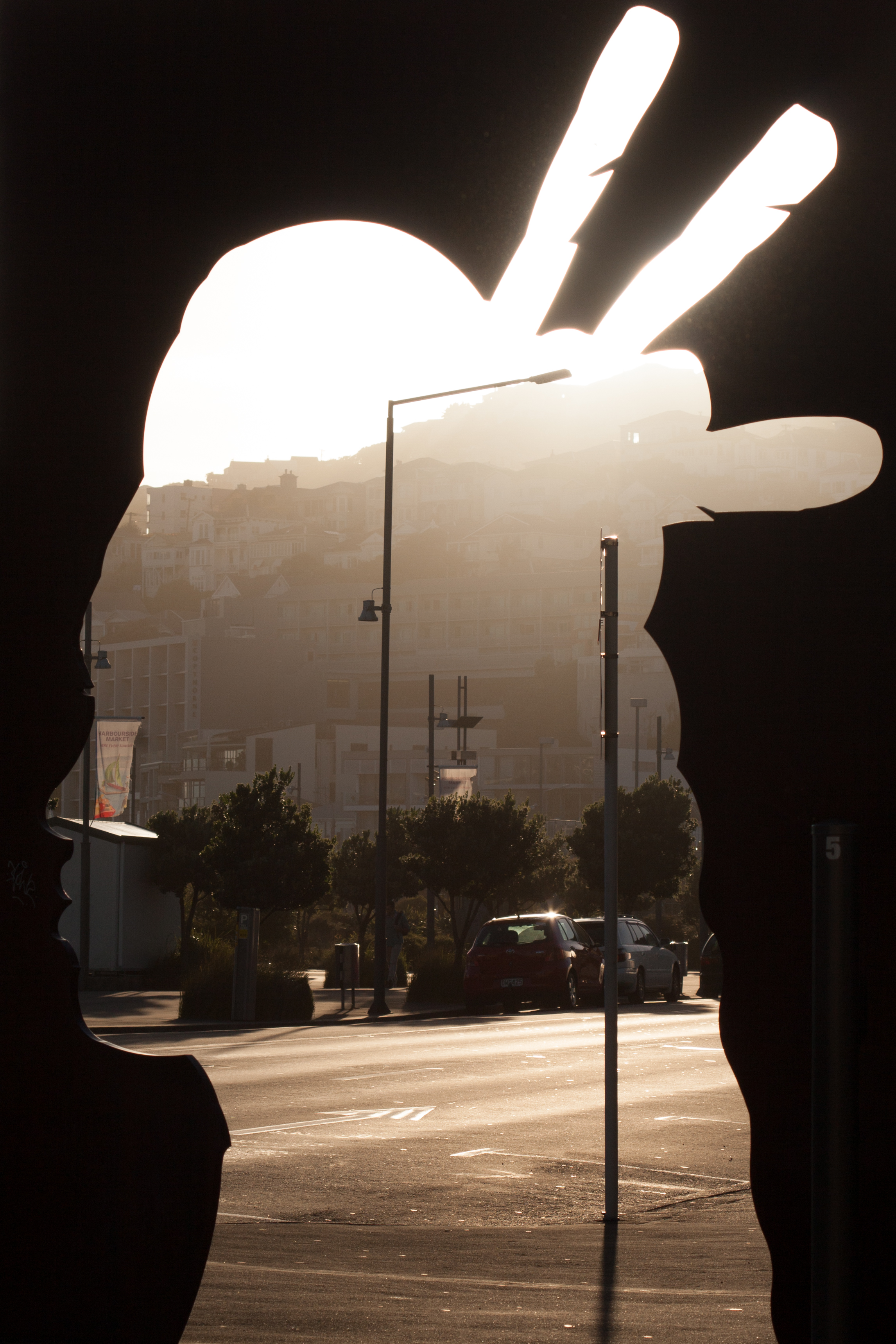
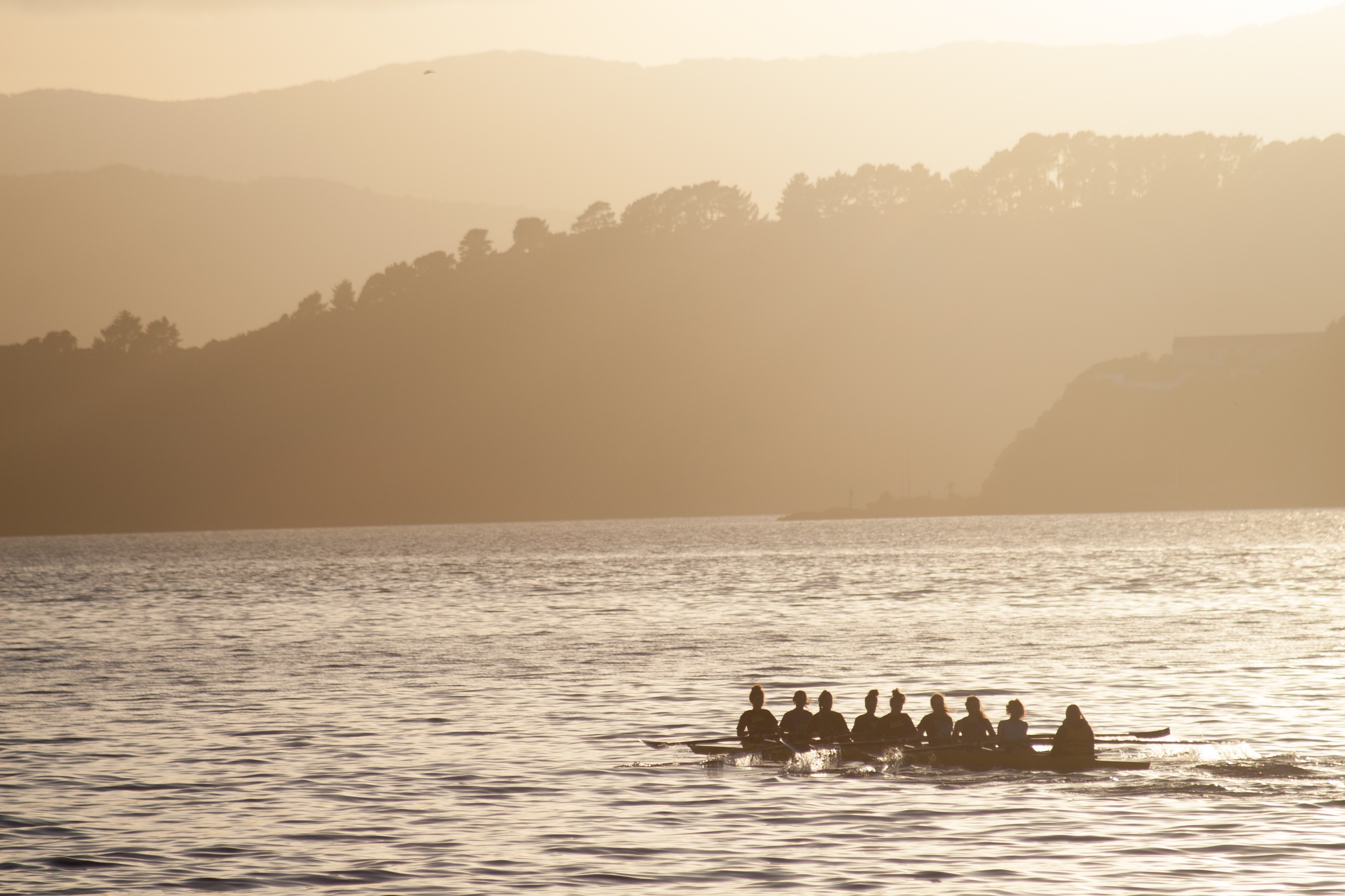
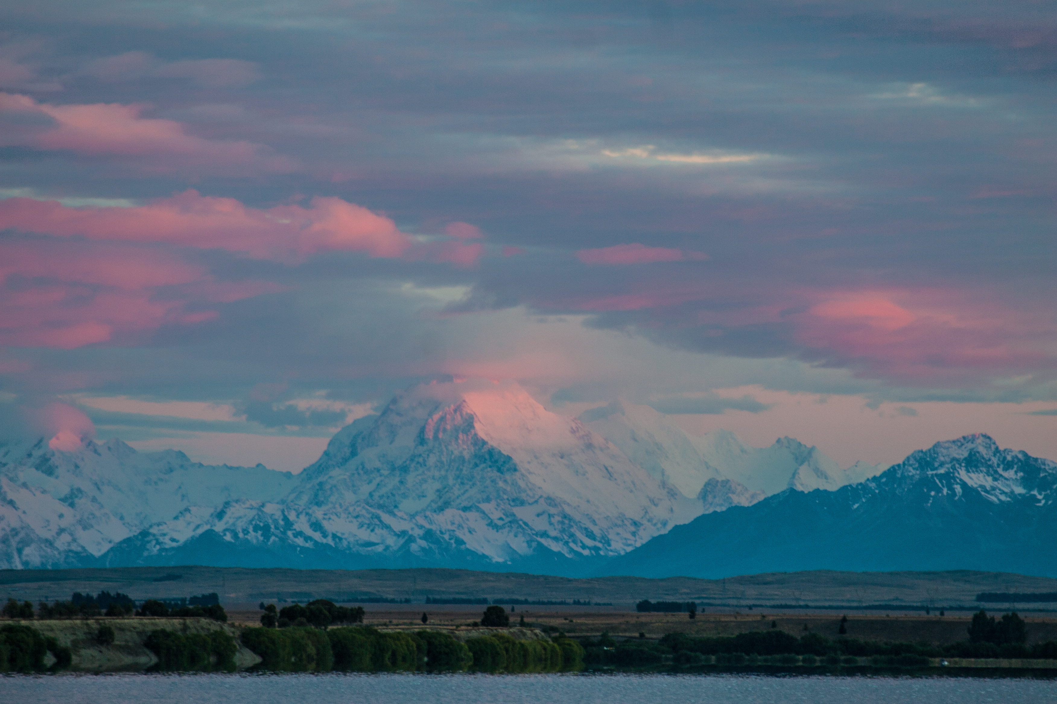
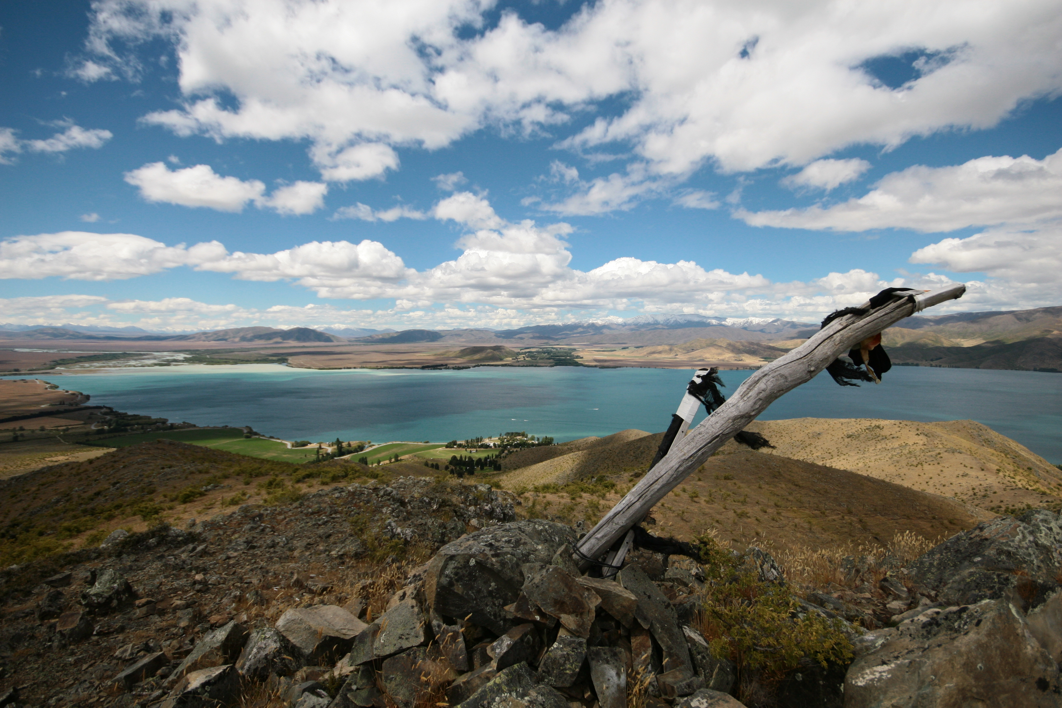
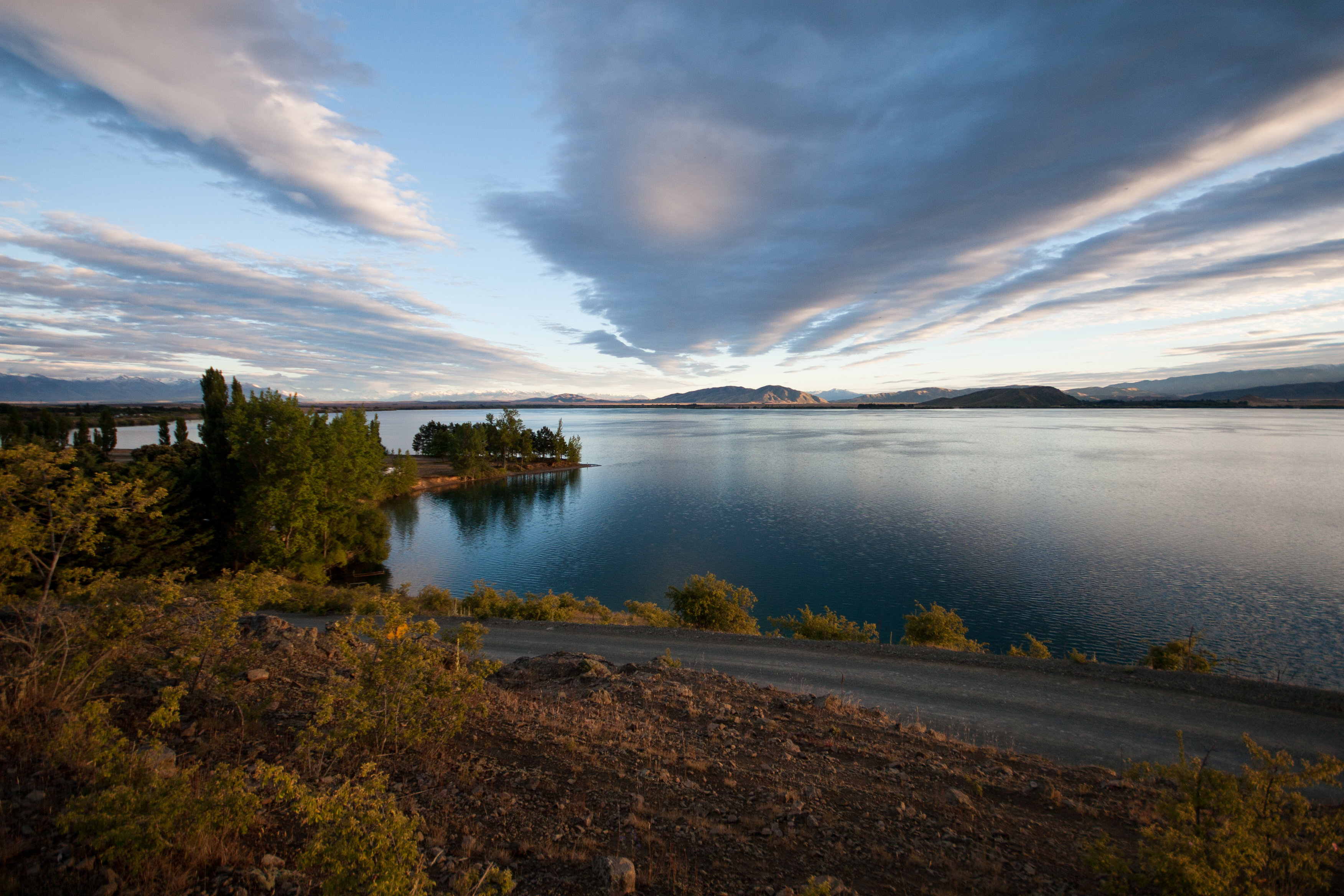
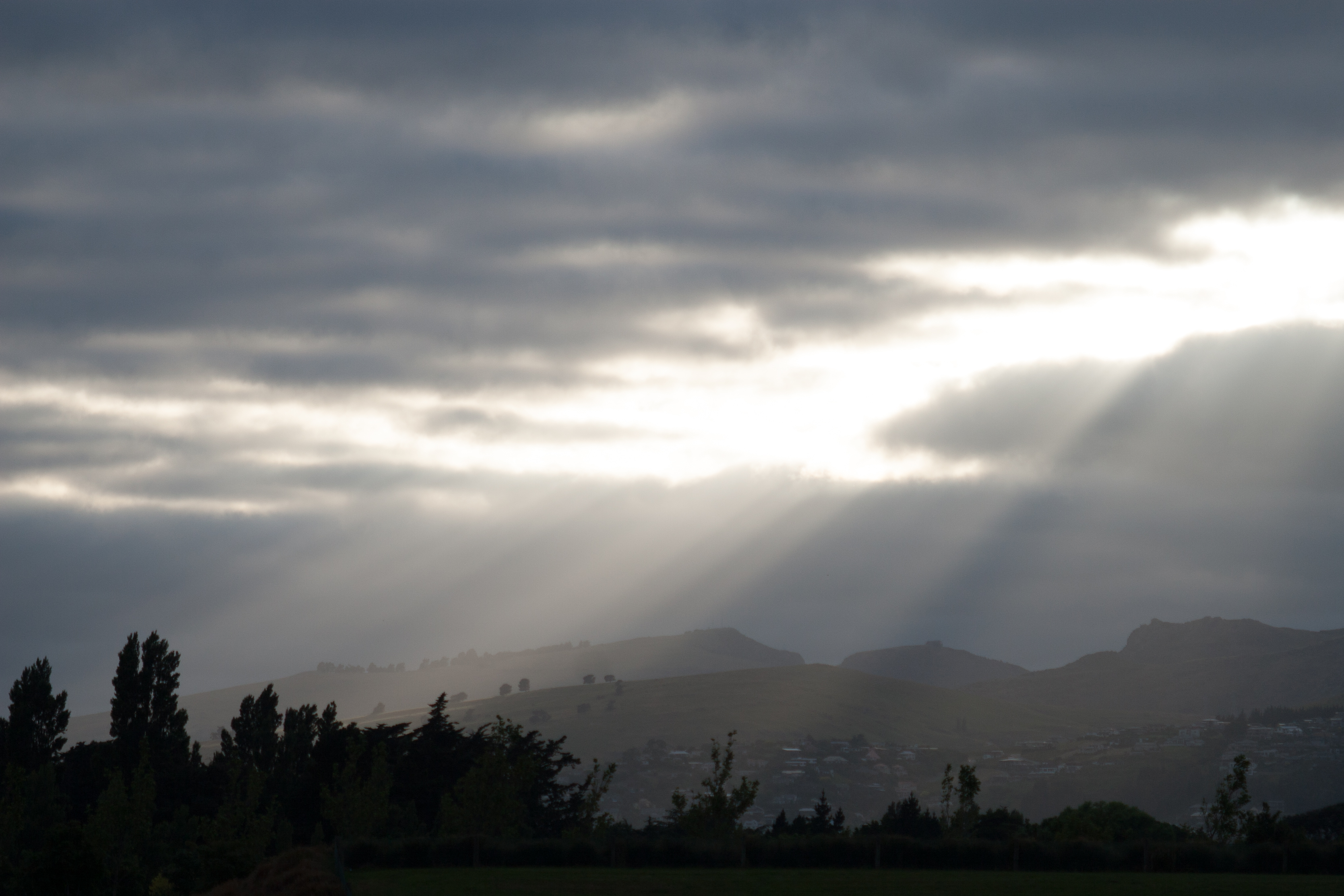
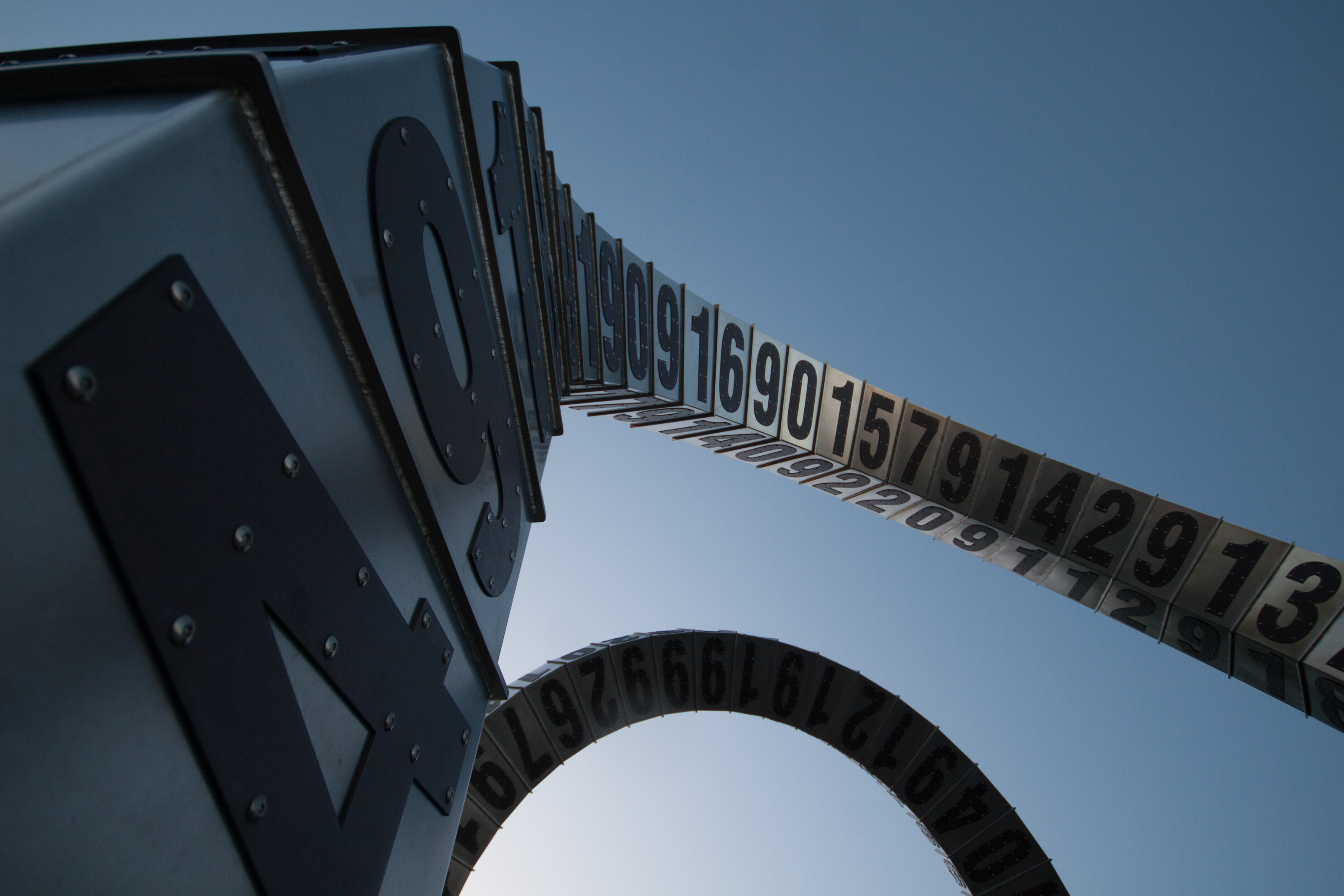
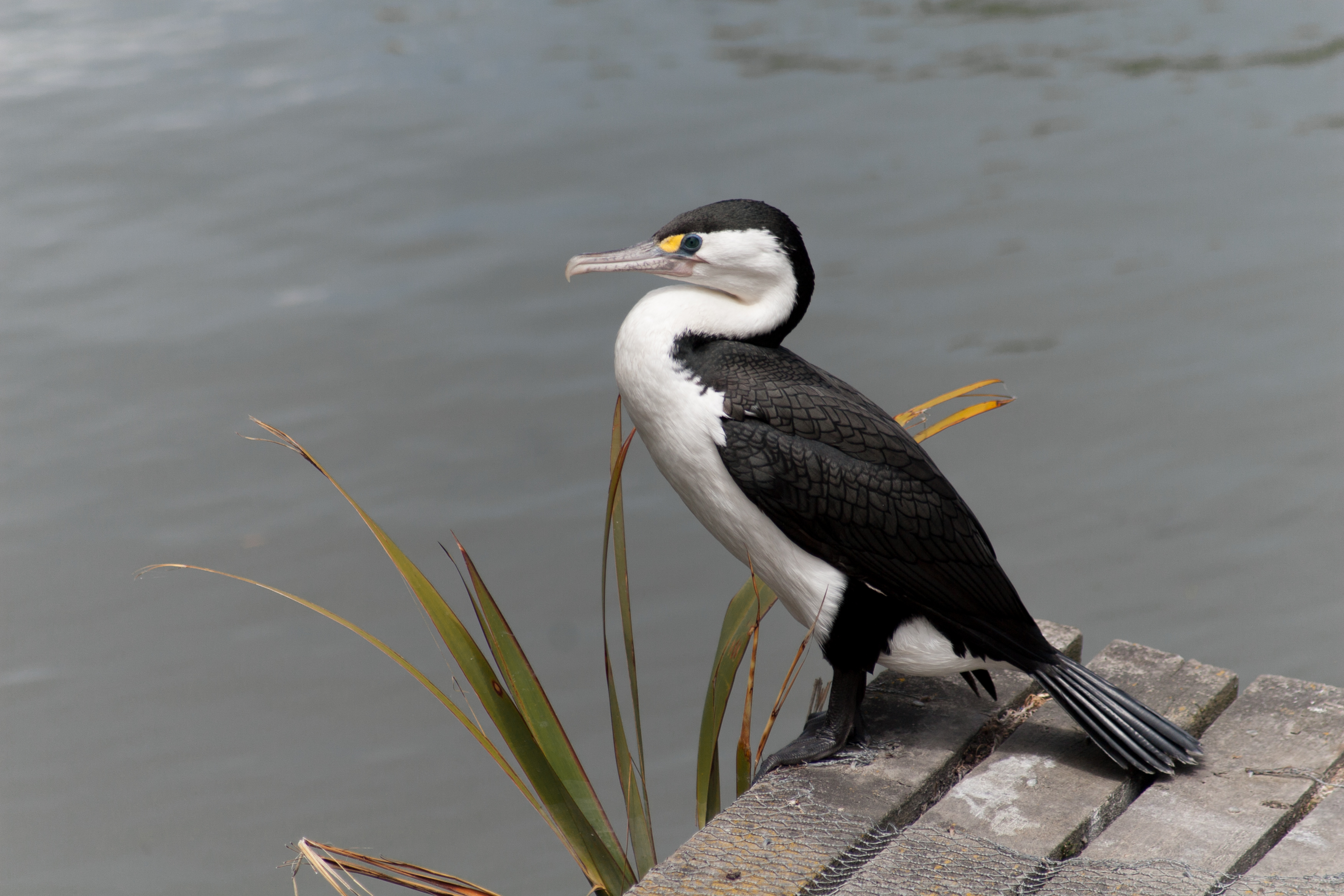
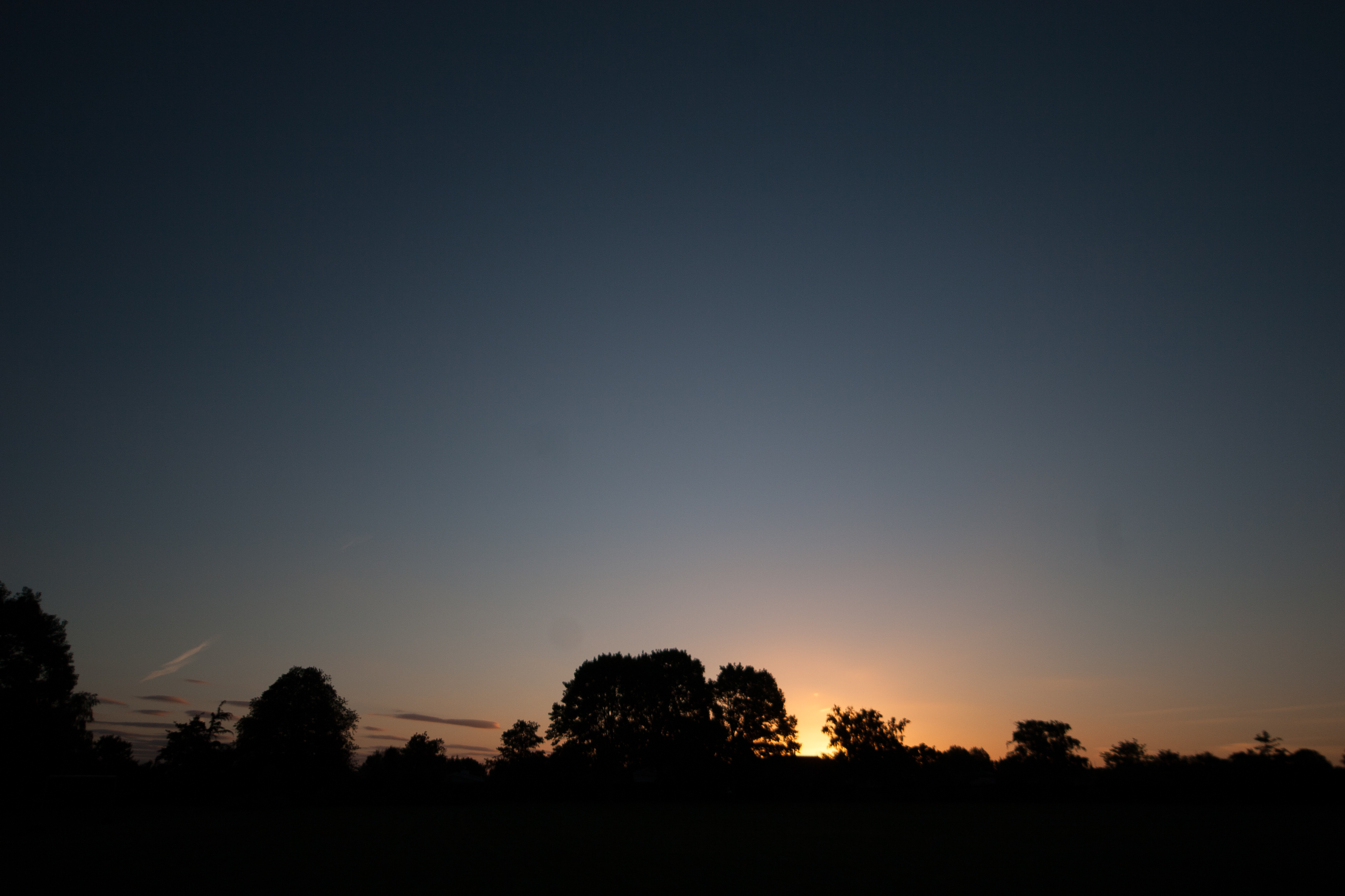
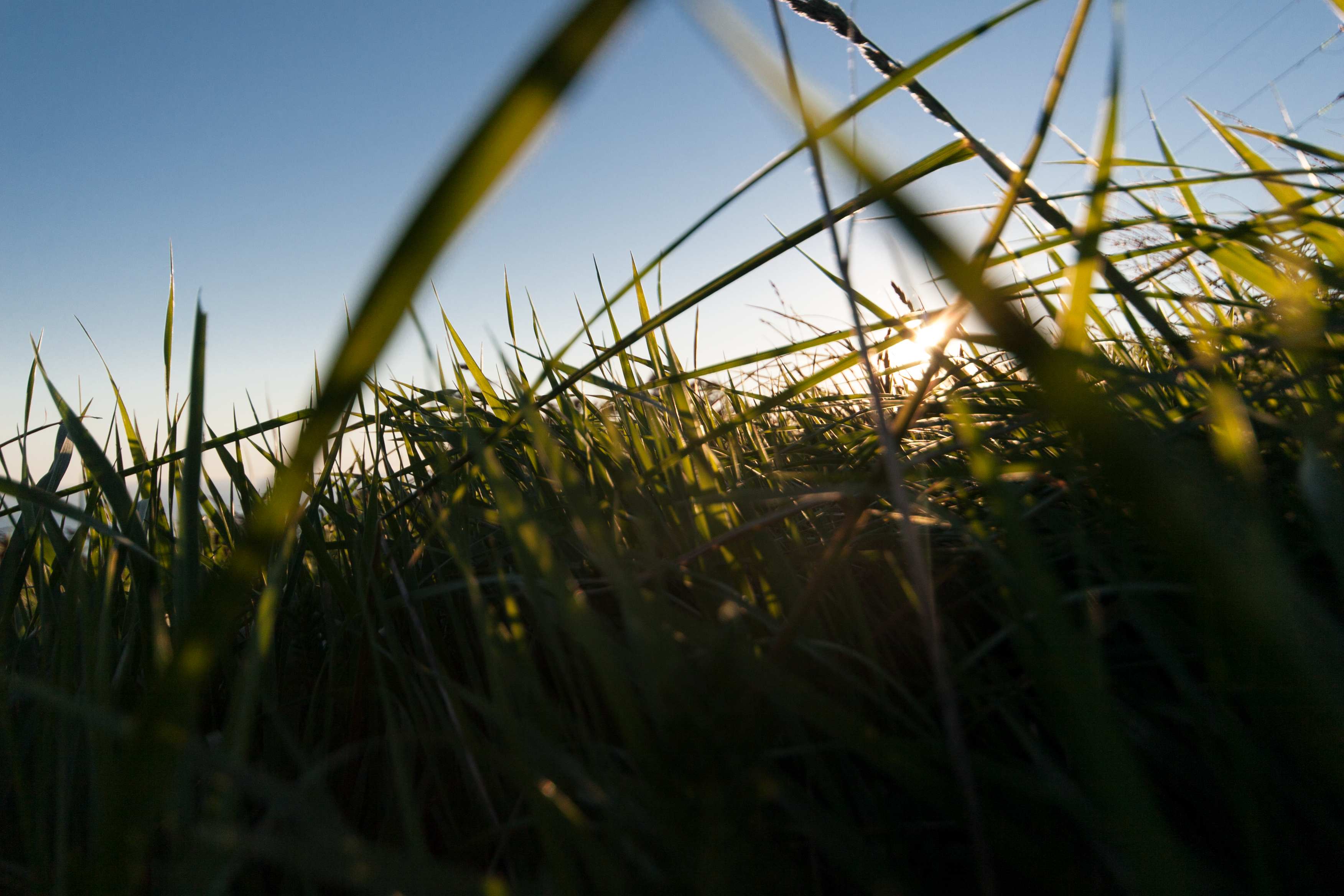
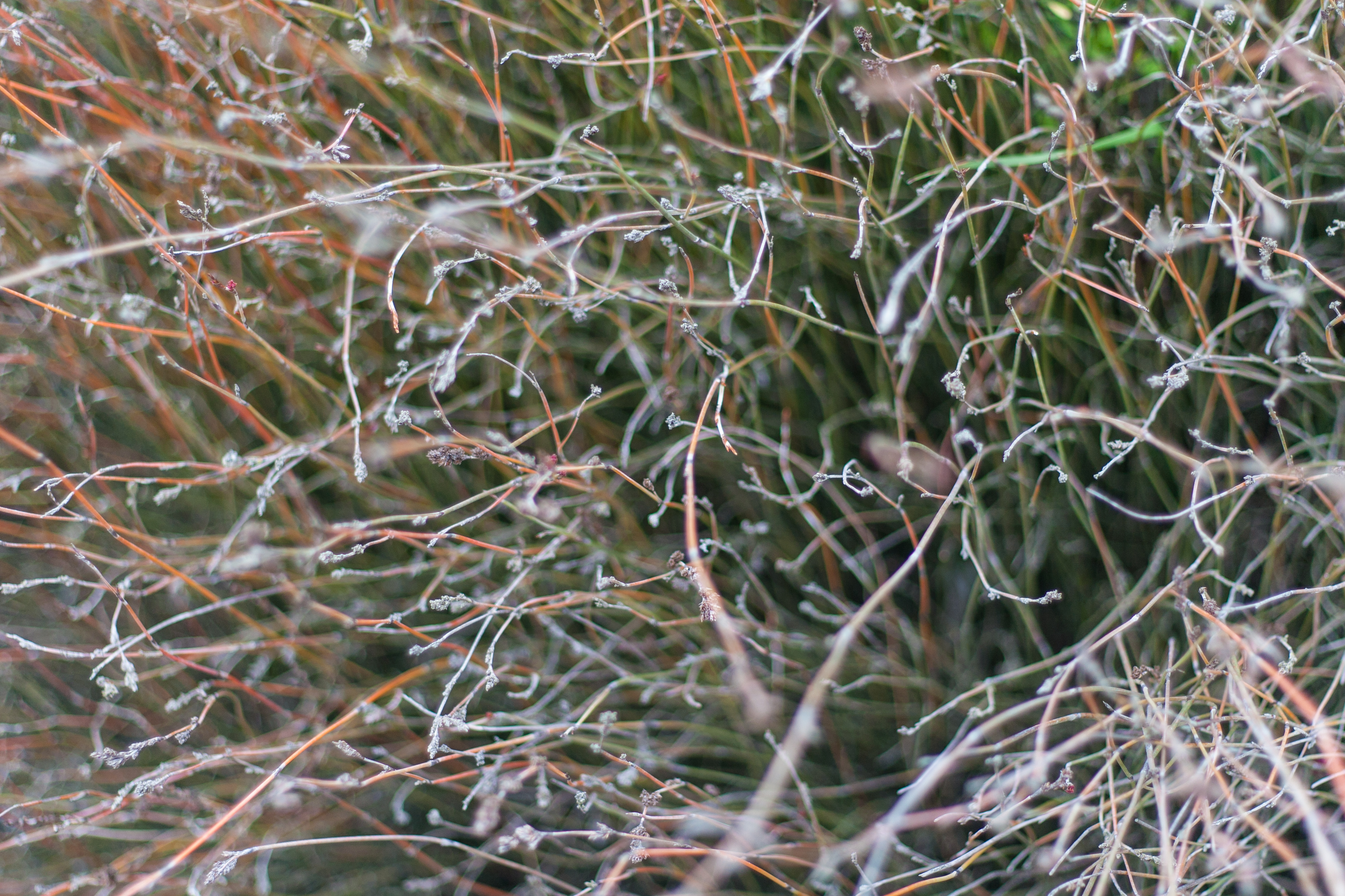
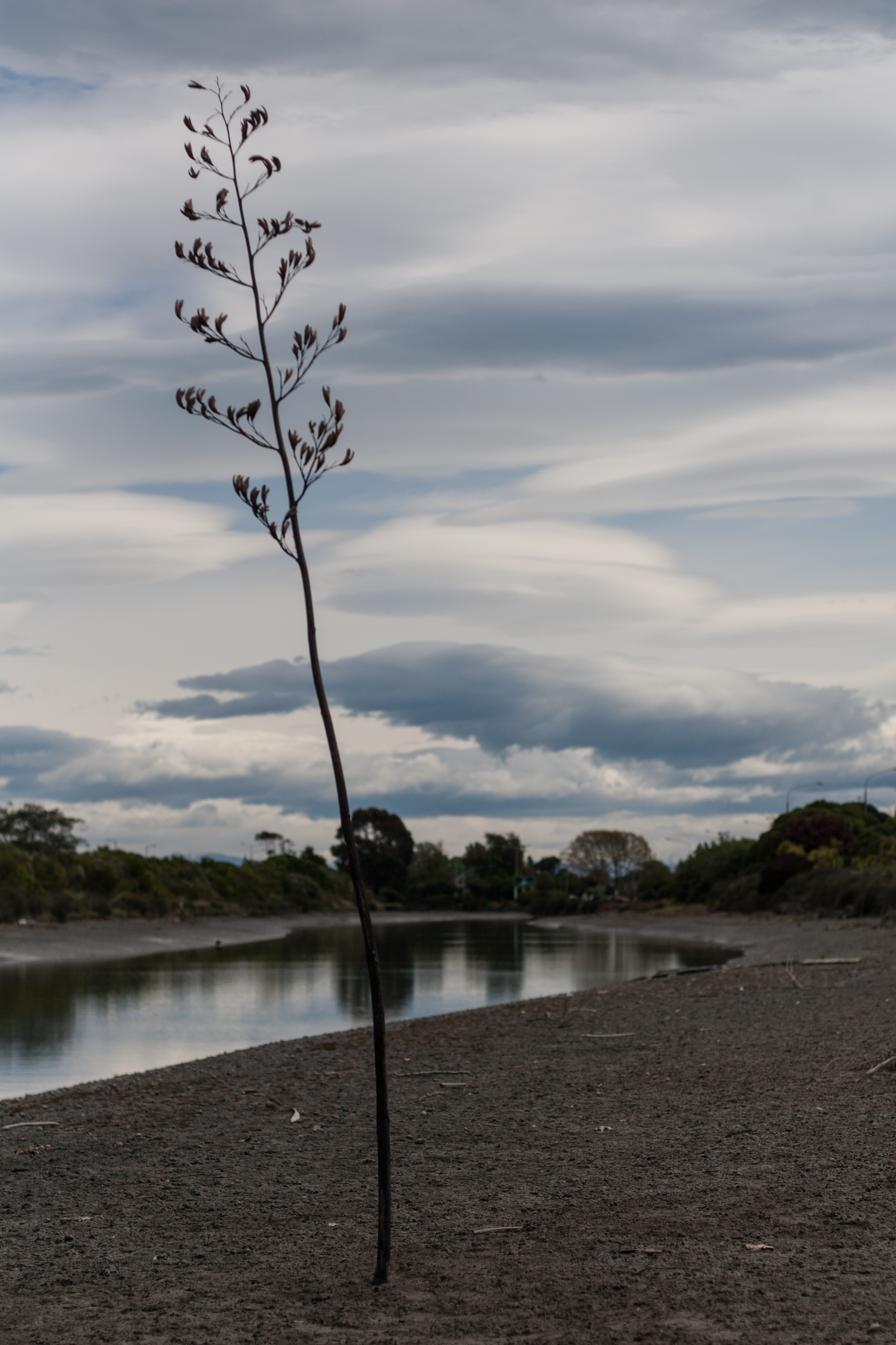
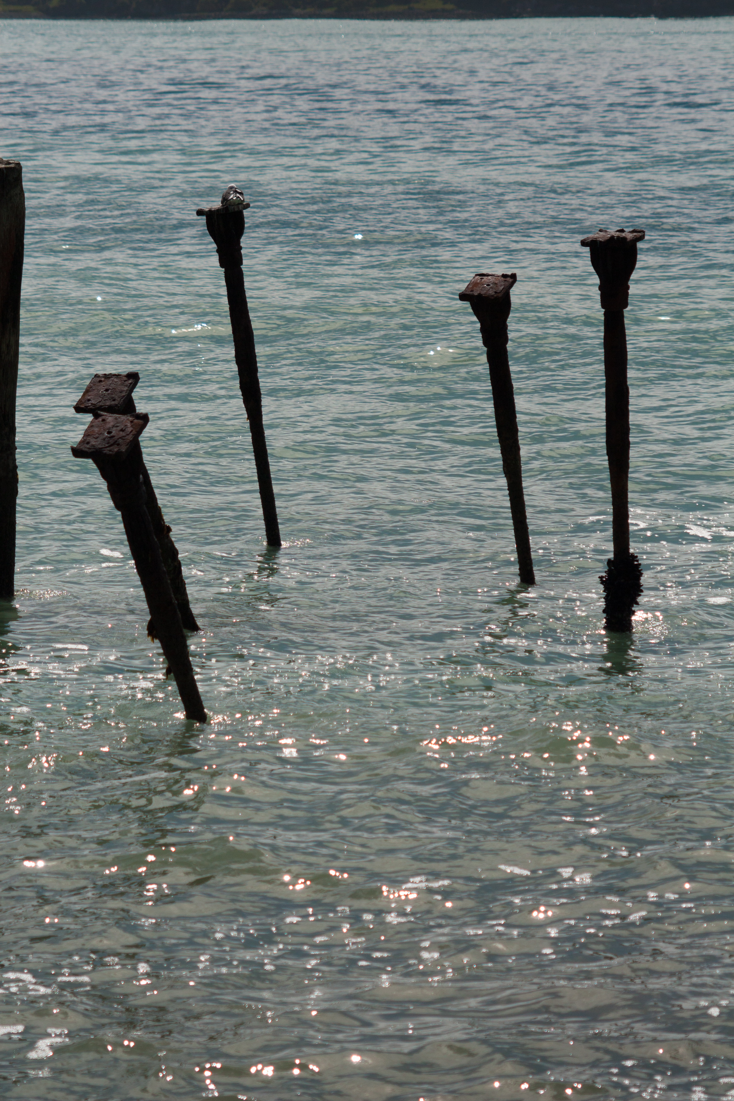
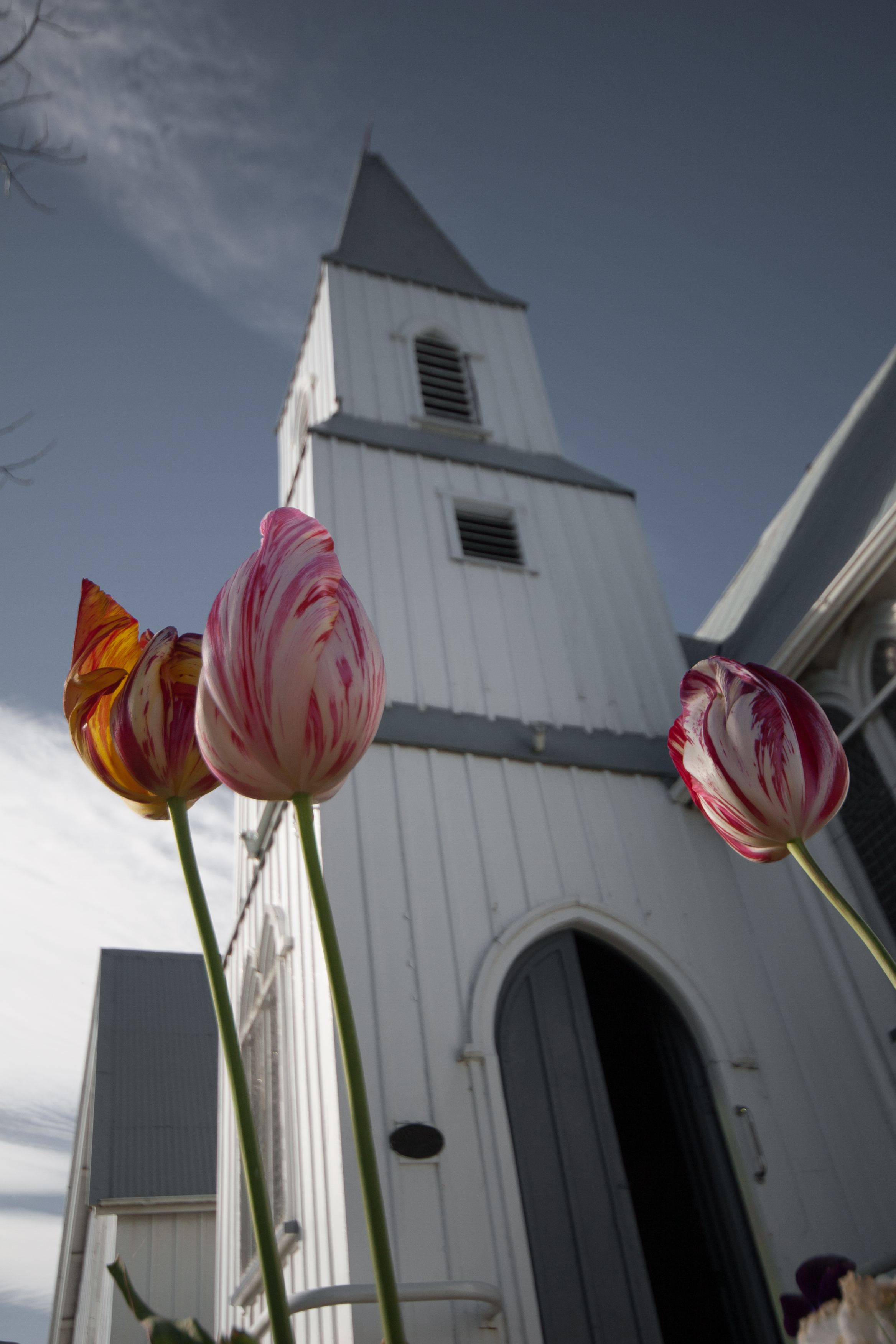
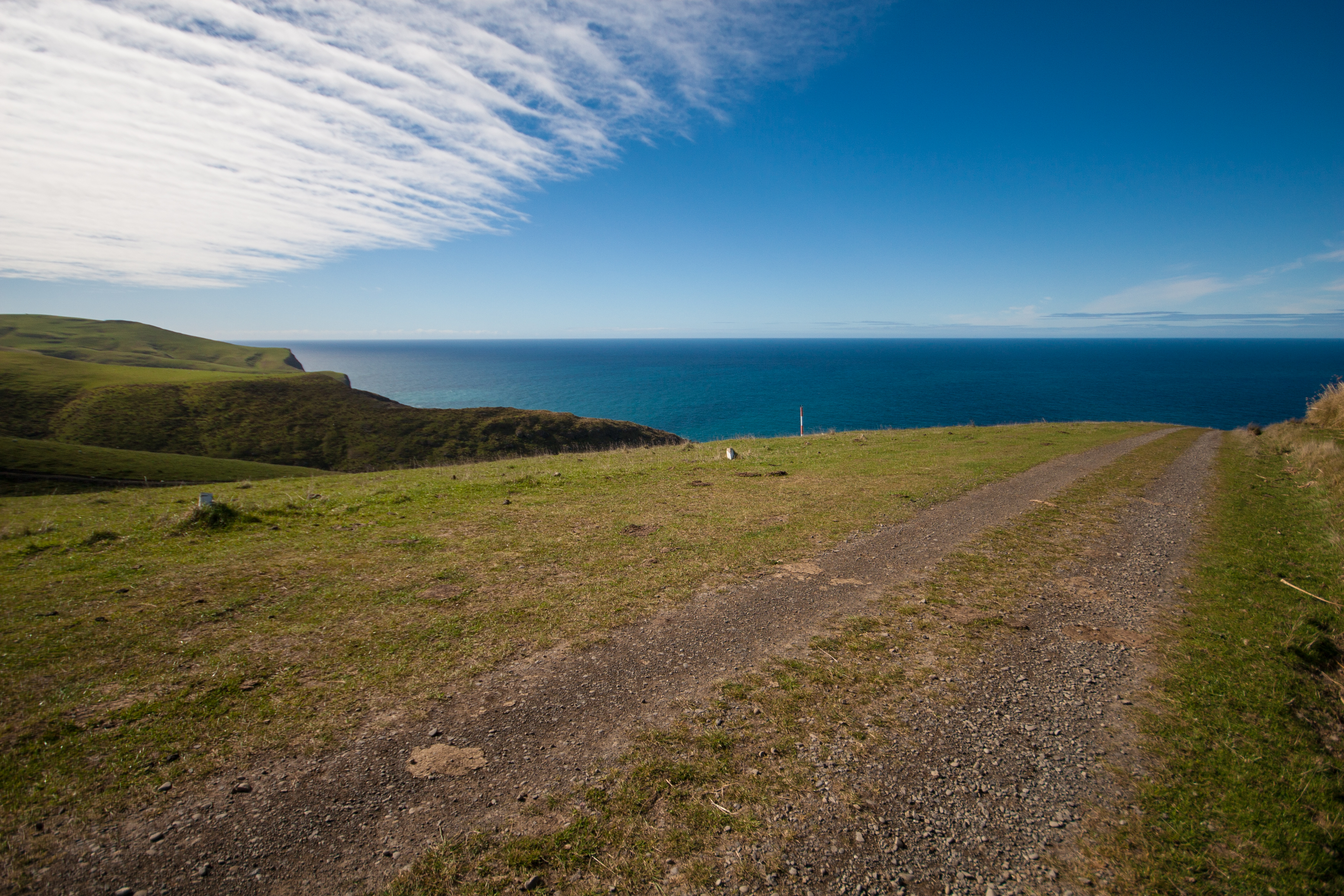
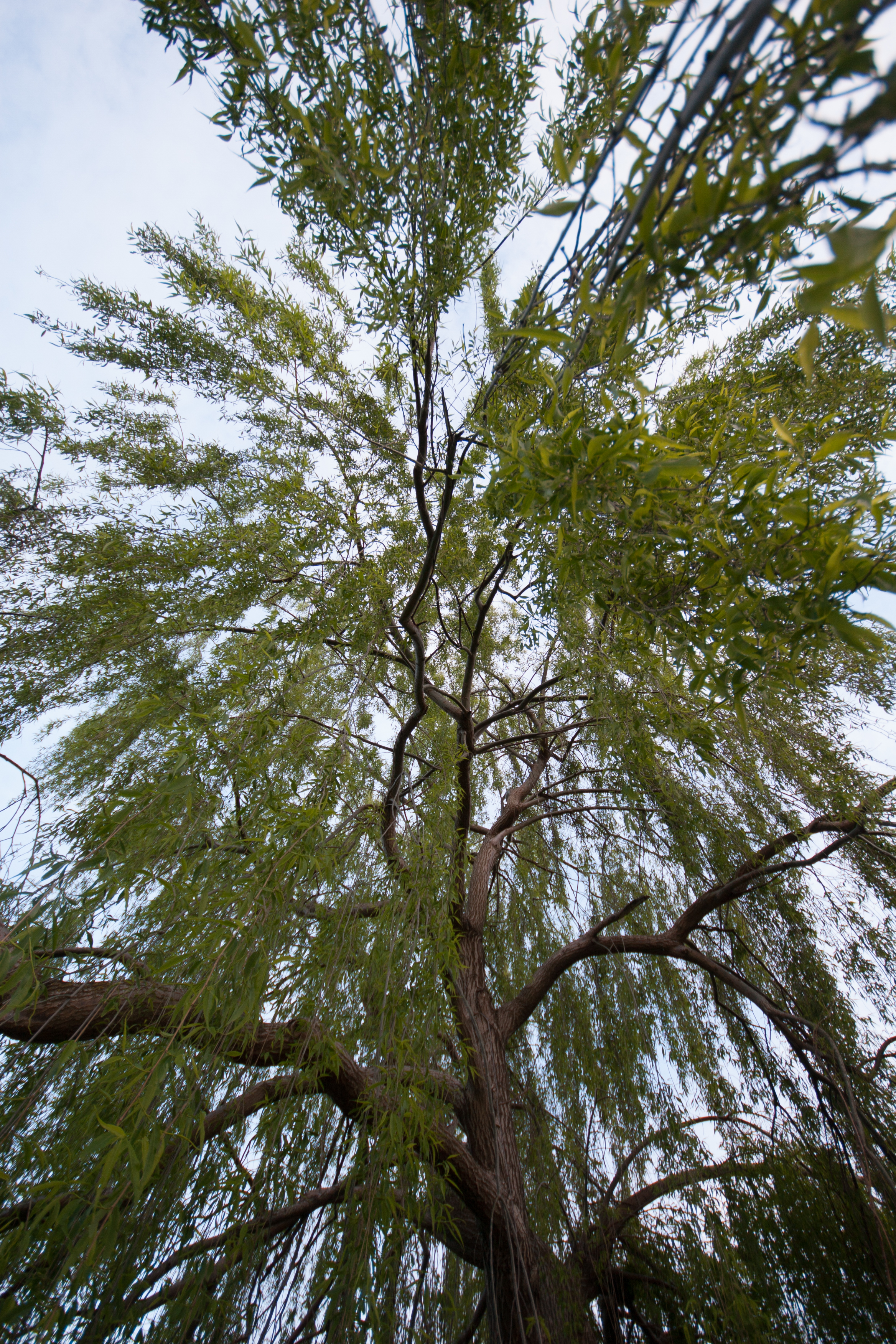
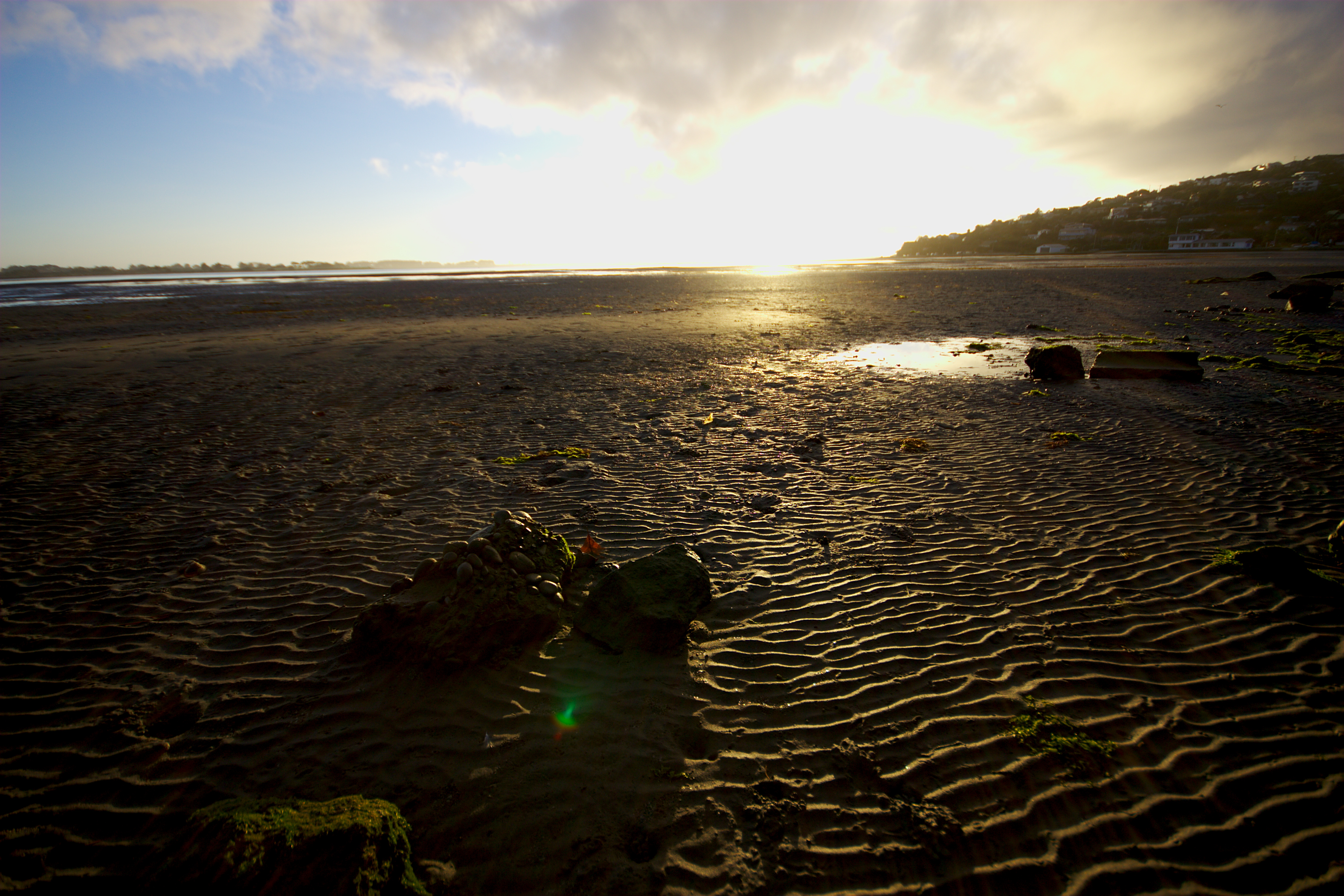
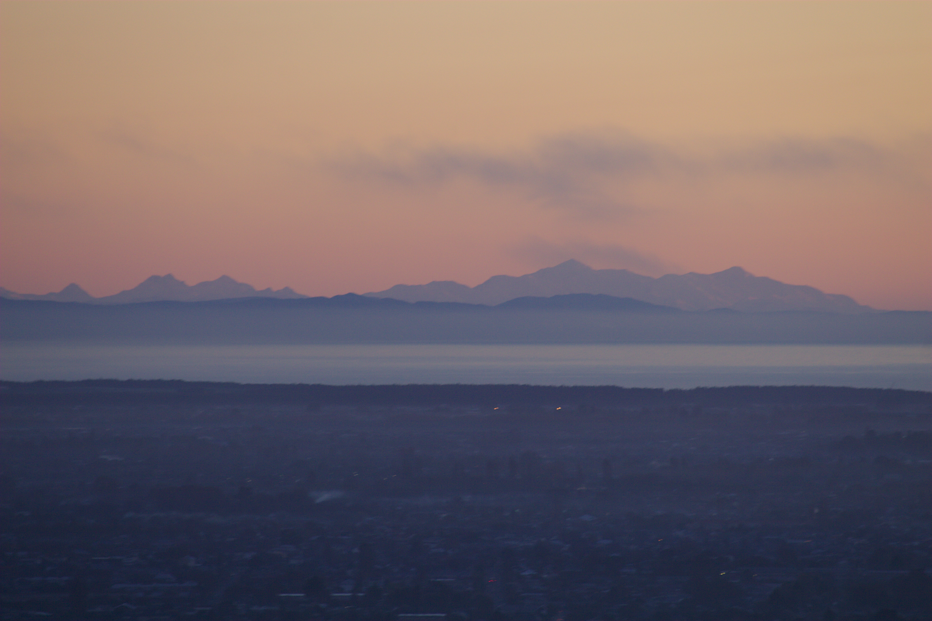
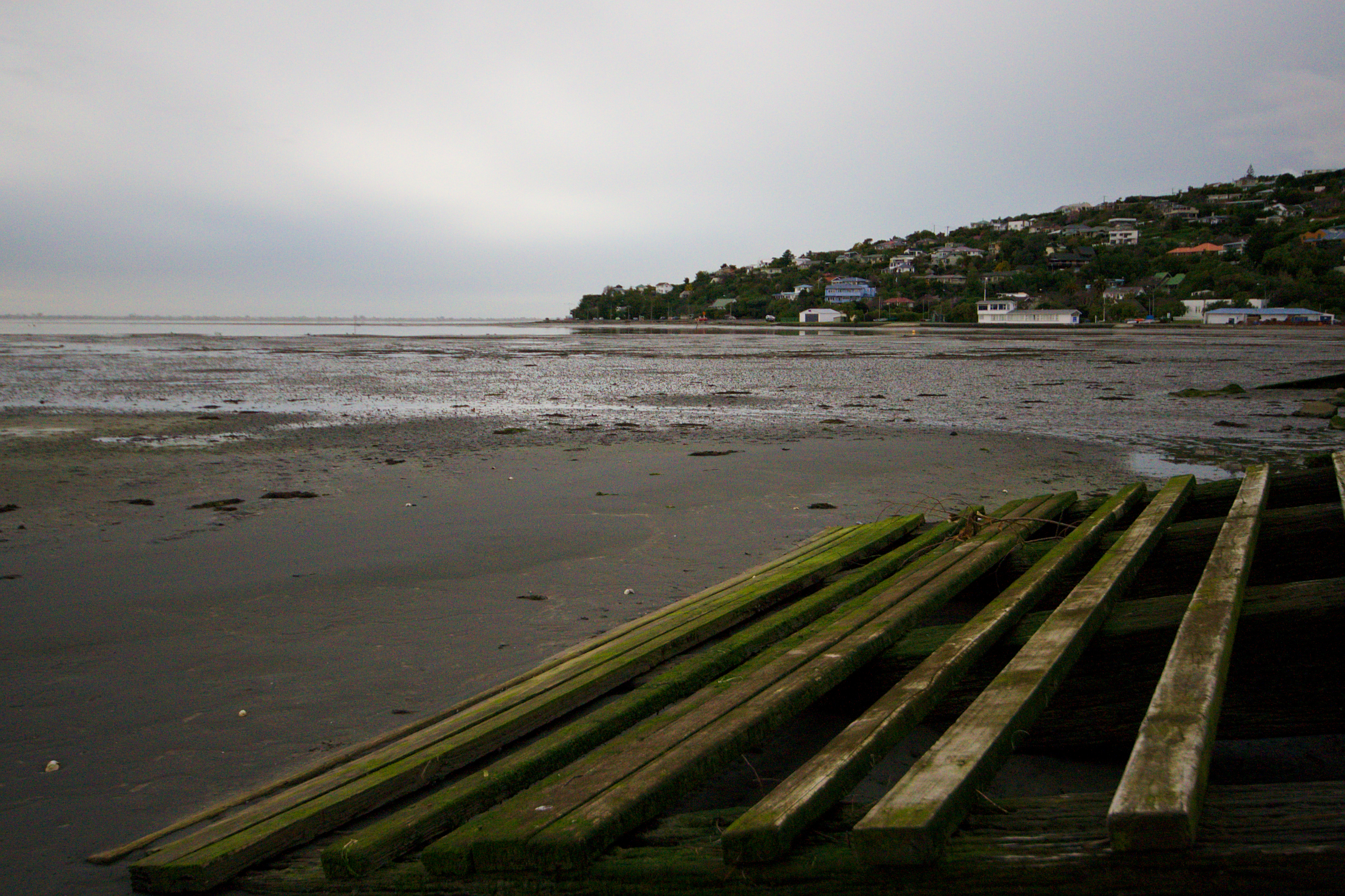
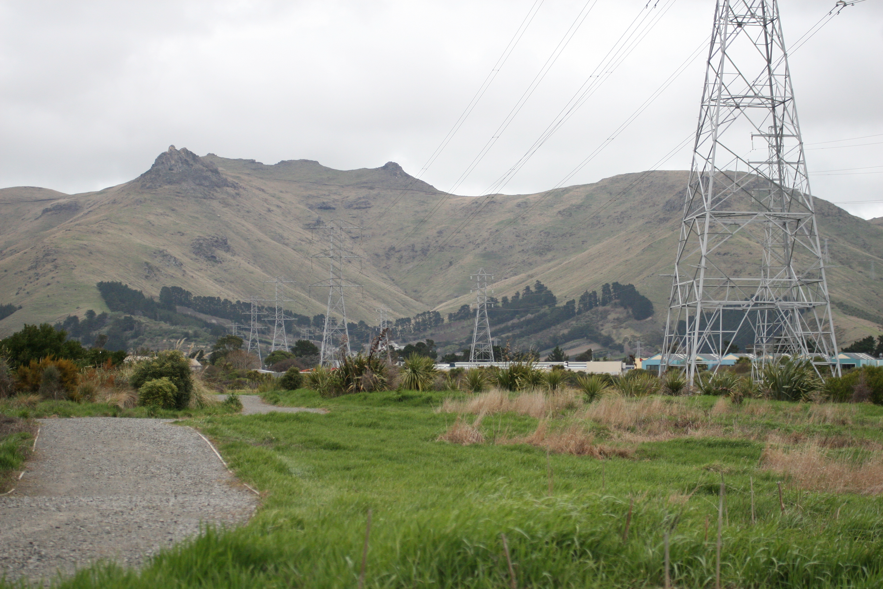
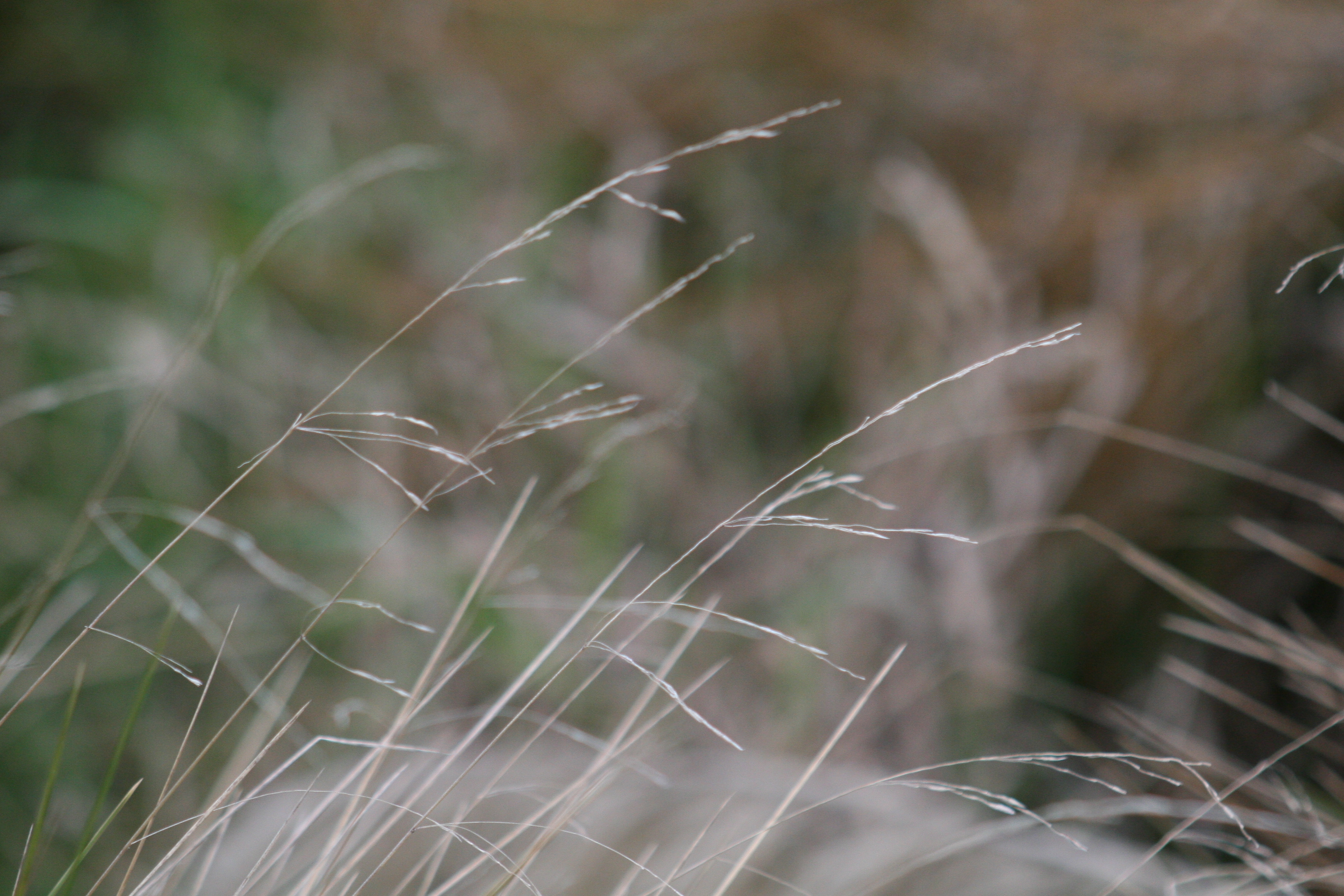
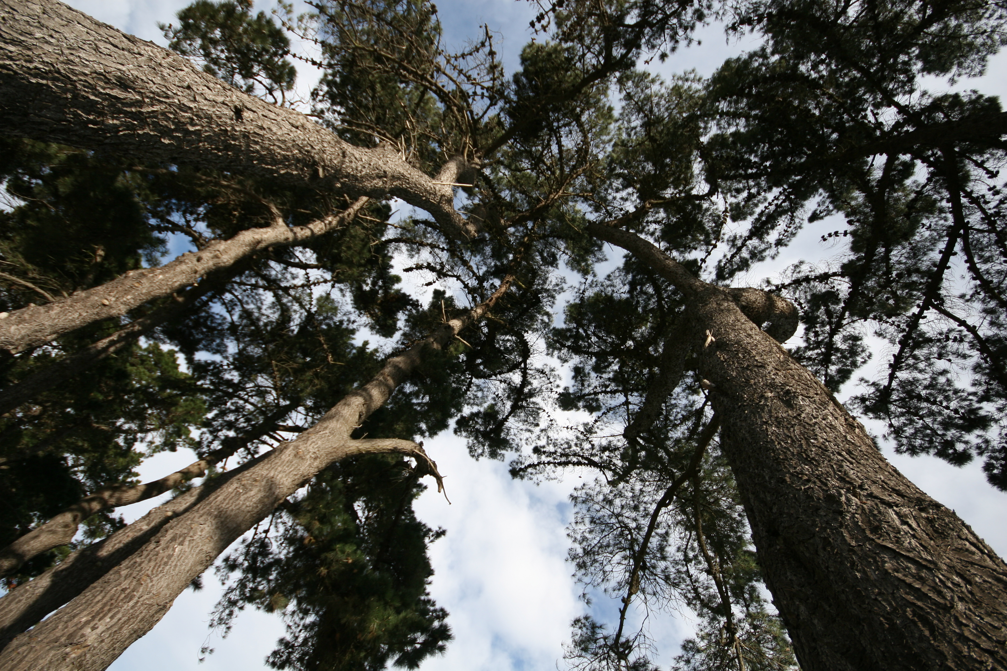
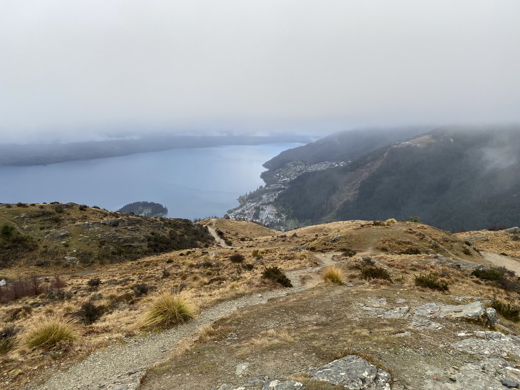
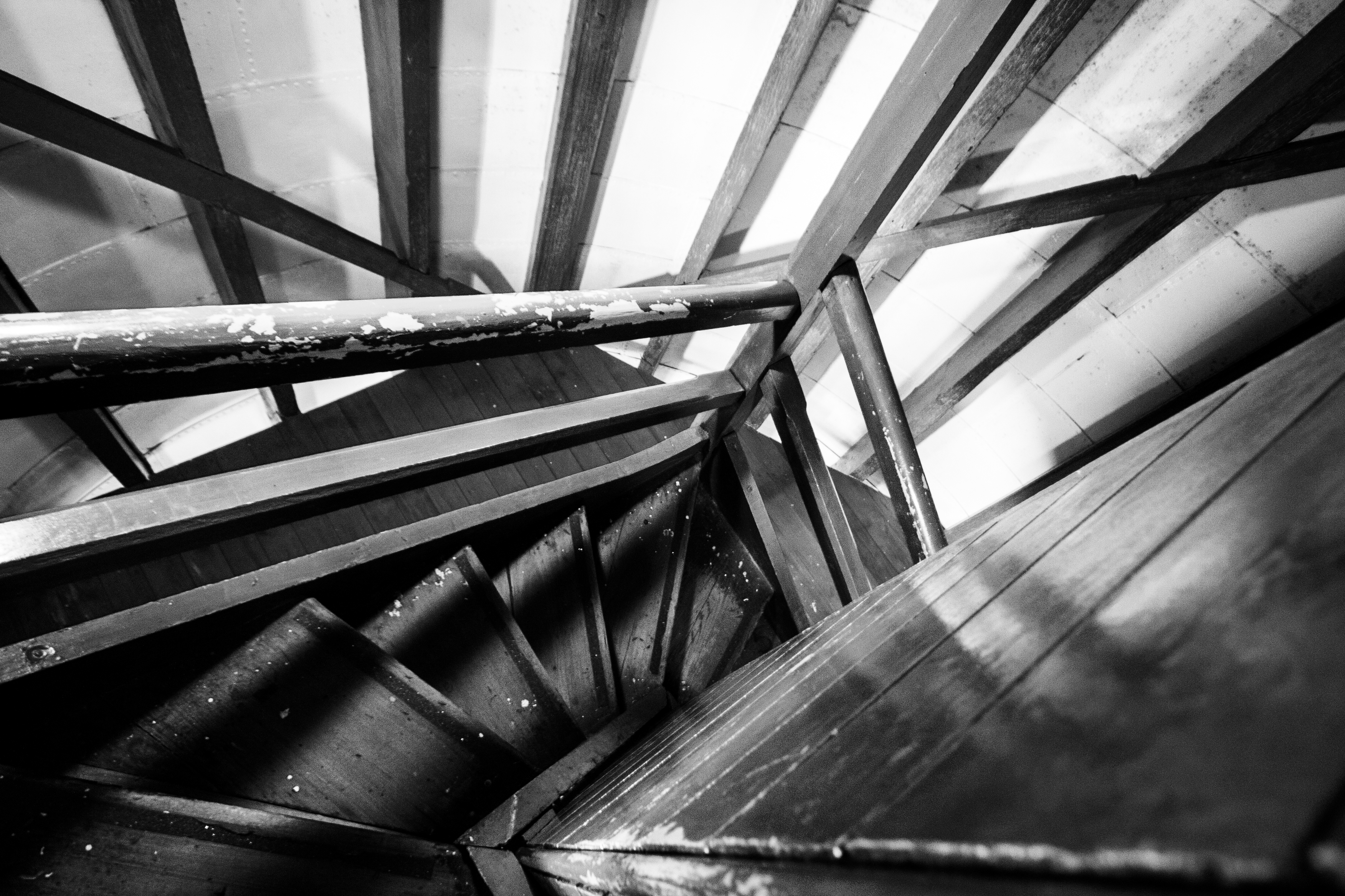
peering into the distance
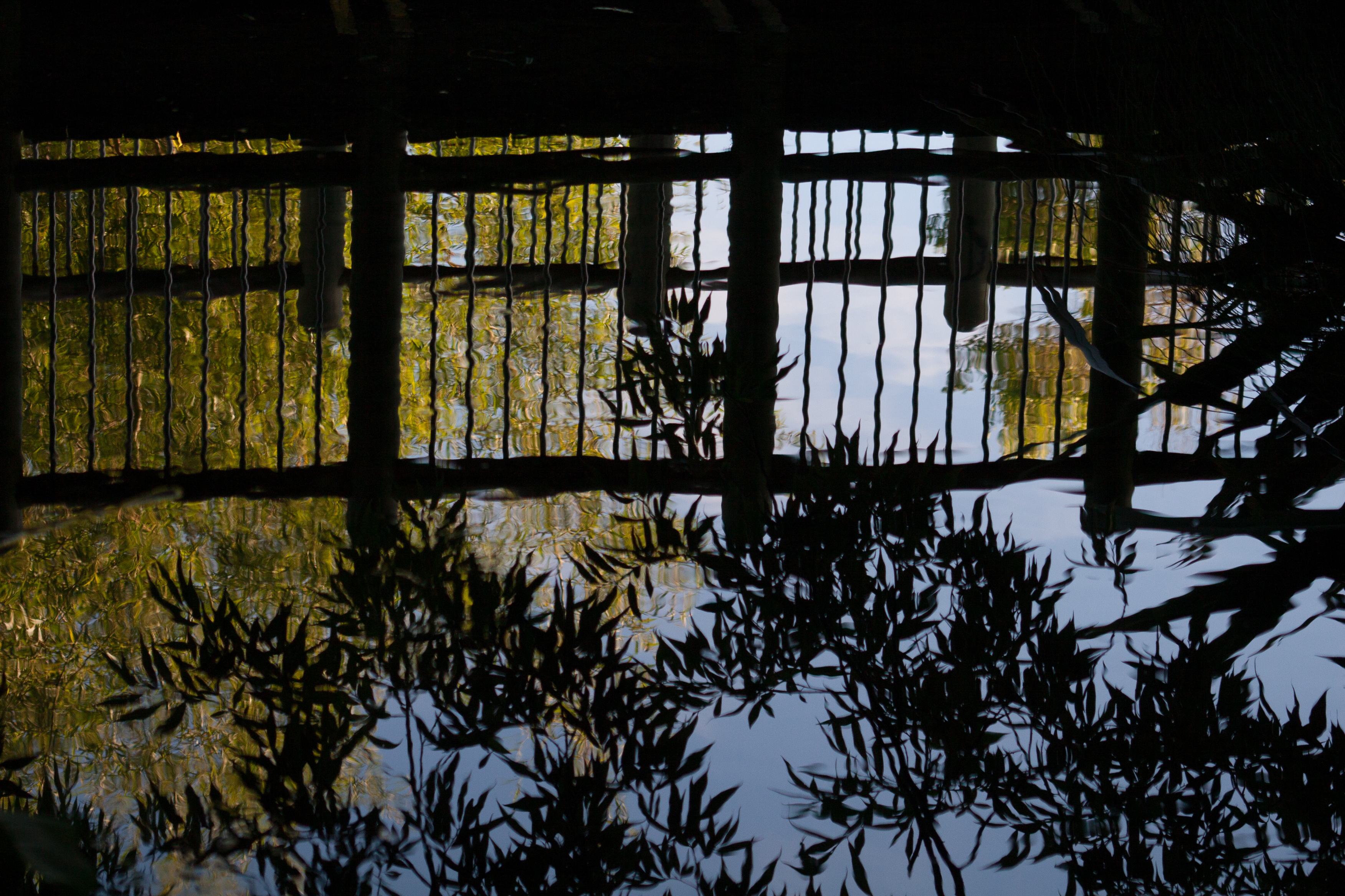
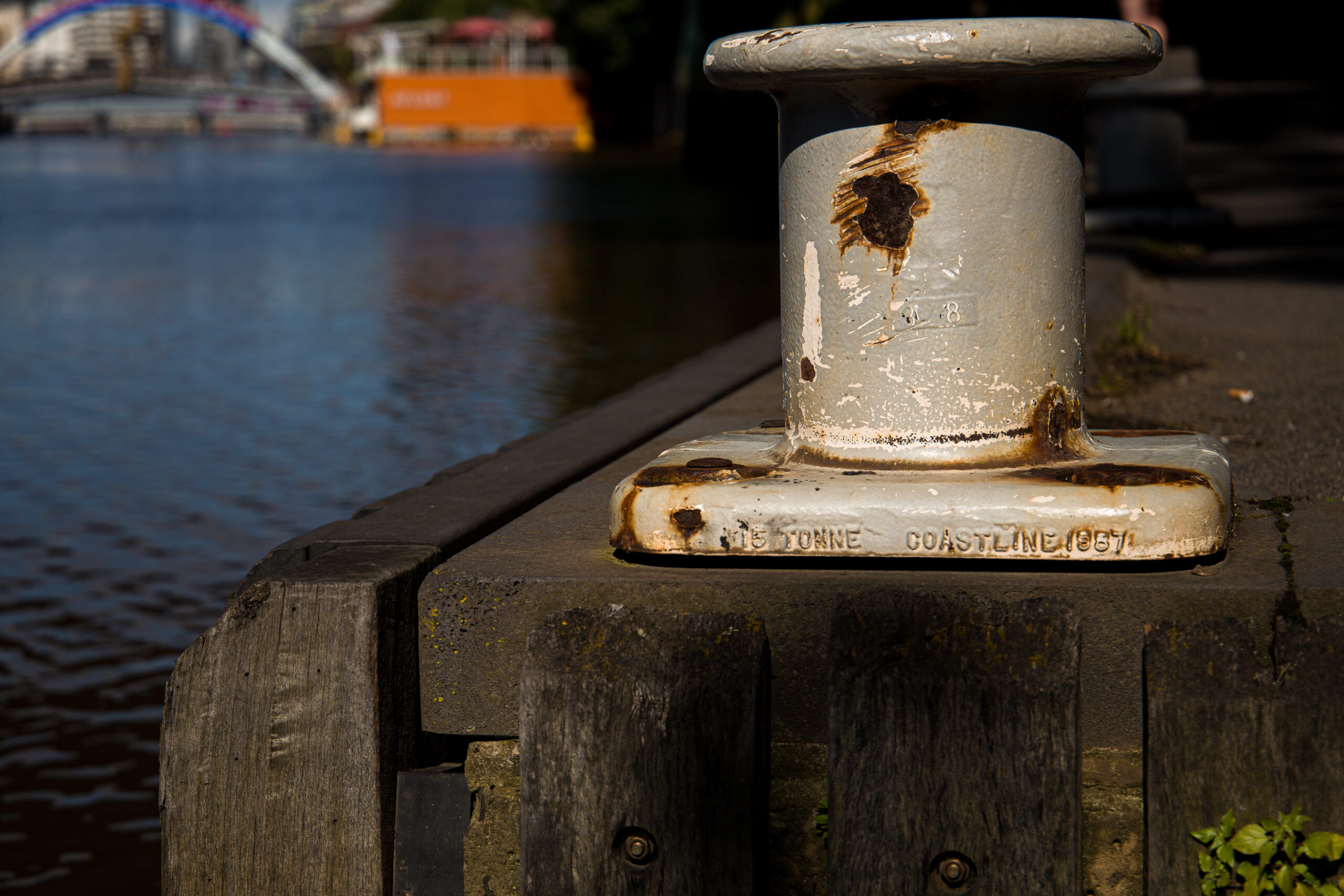
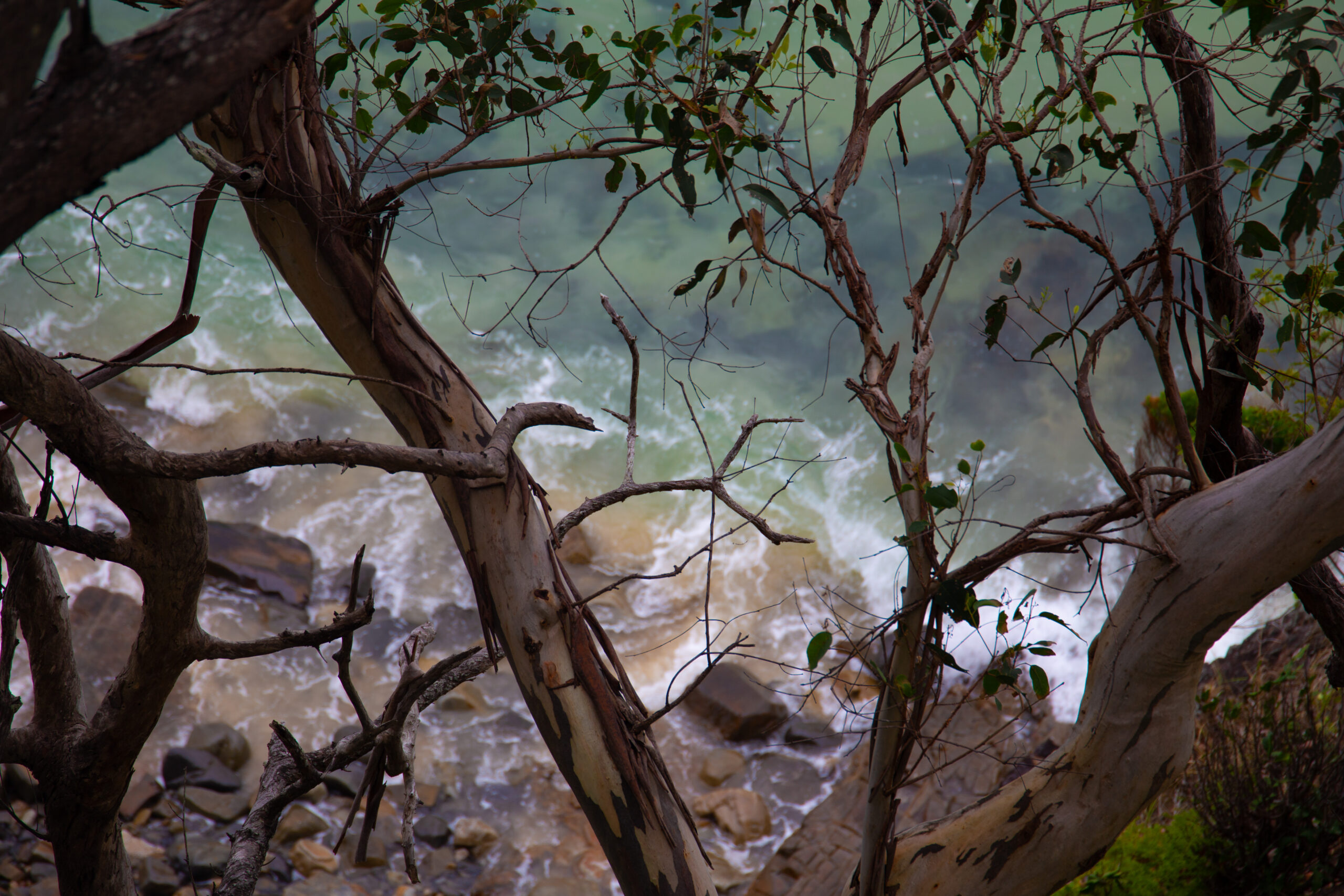
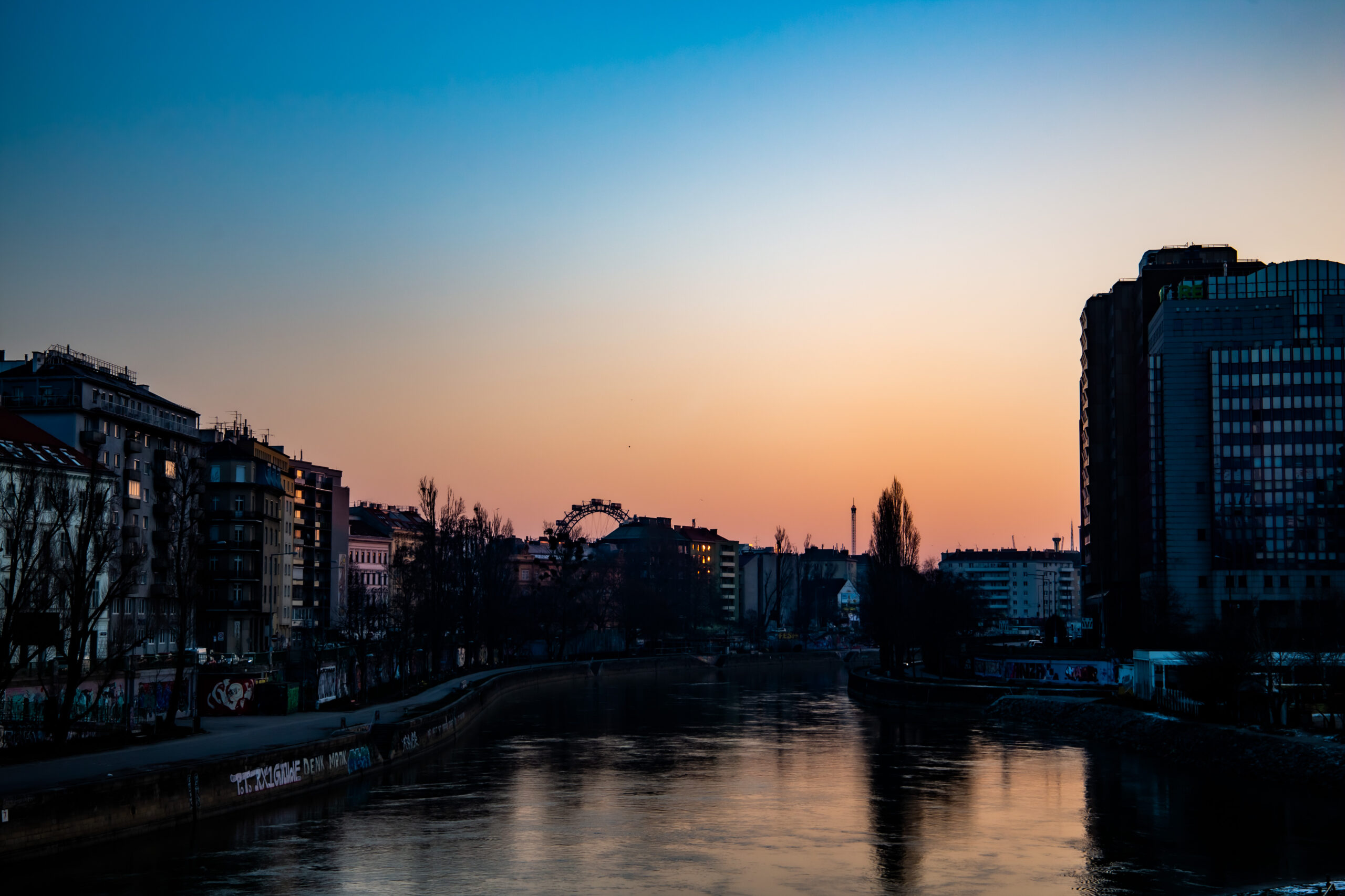
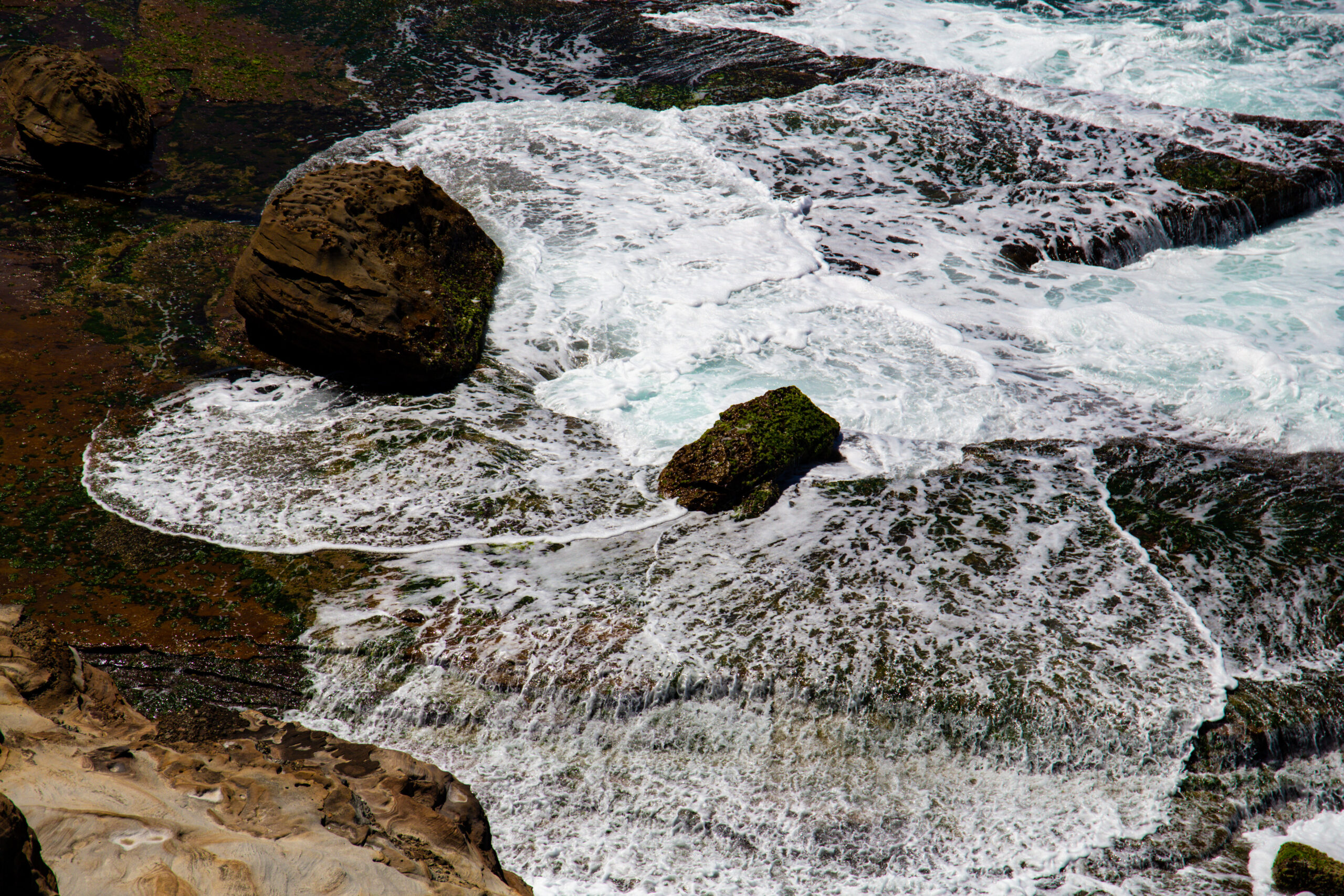
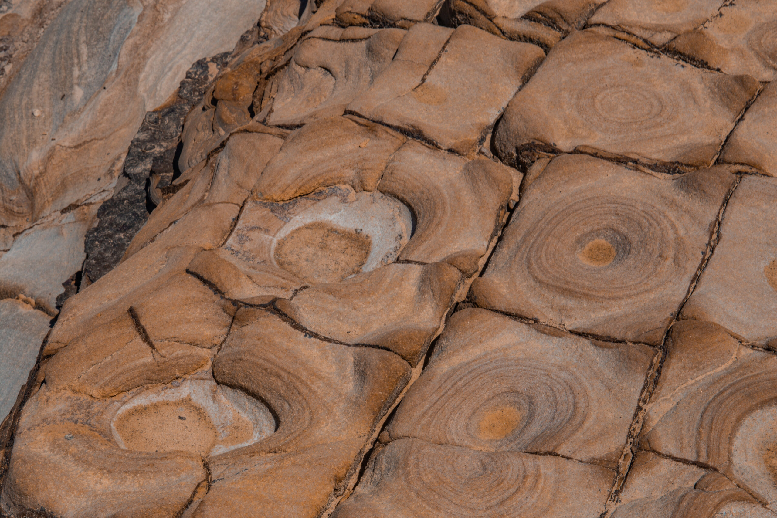
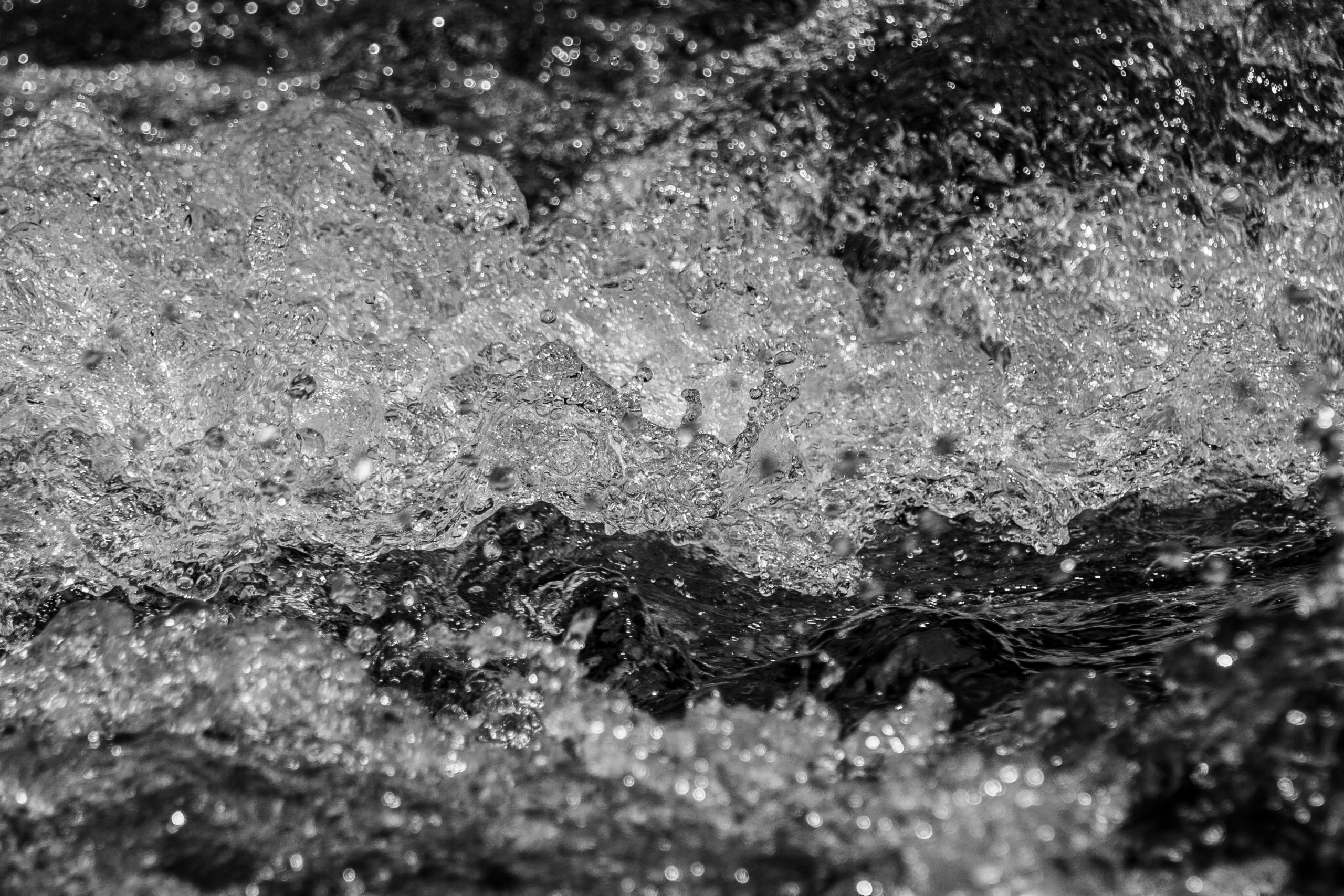
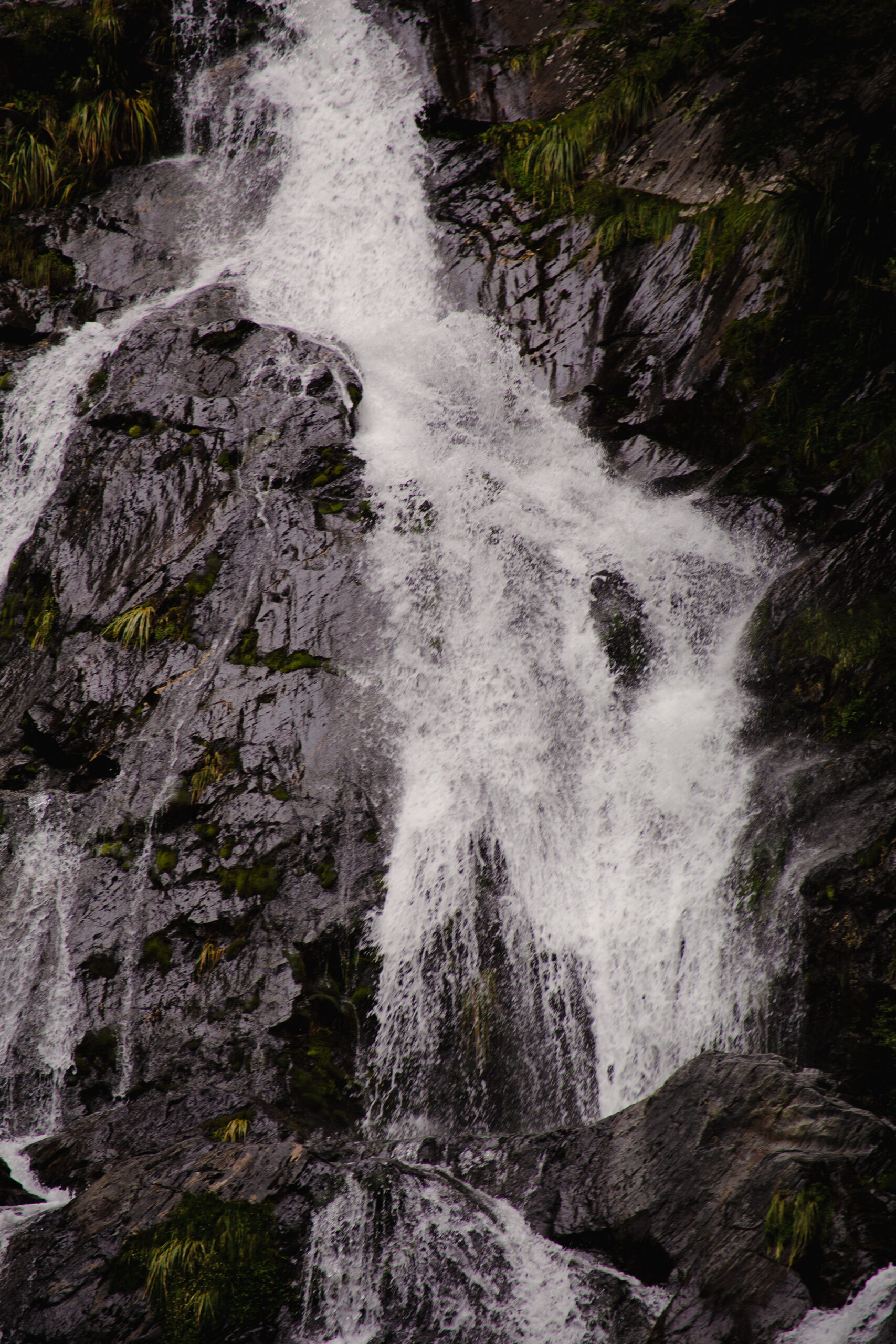
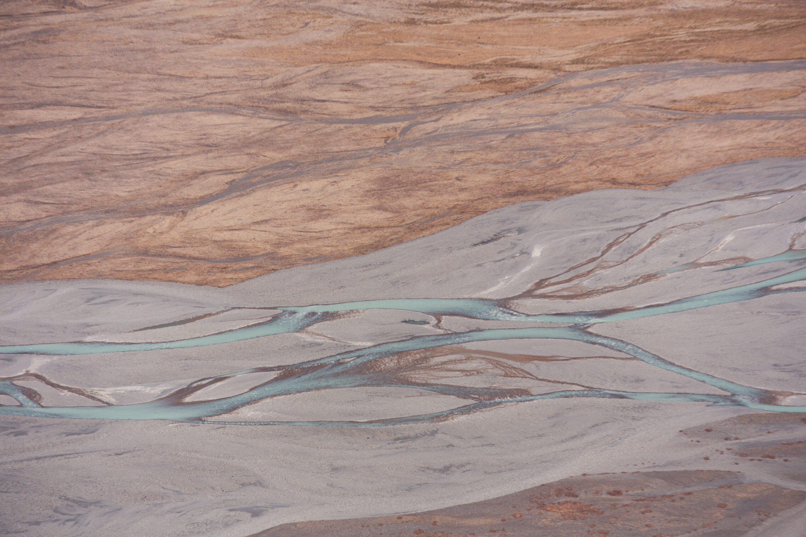
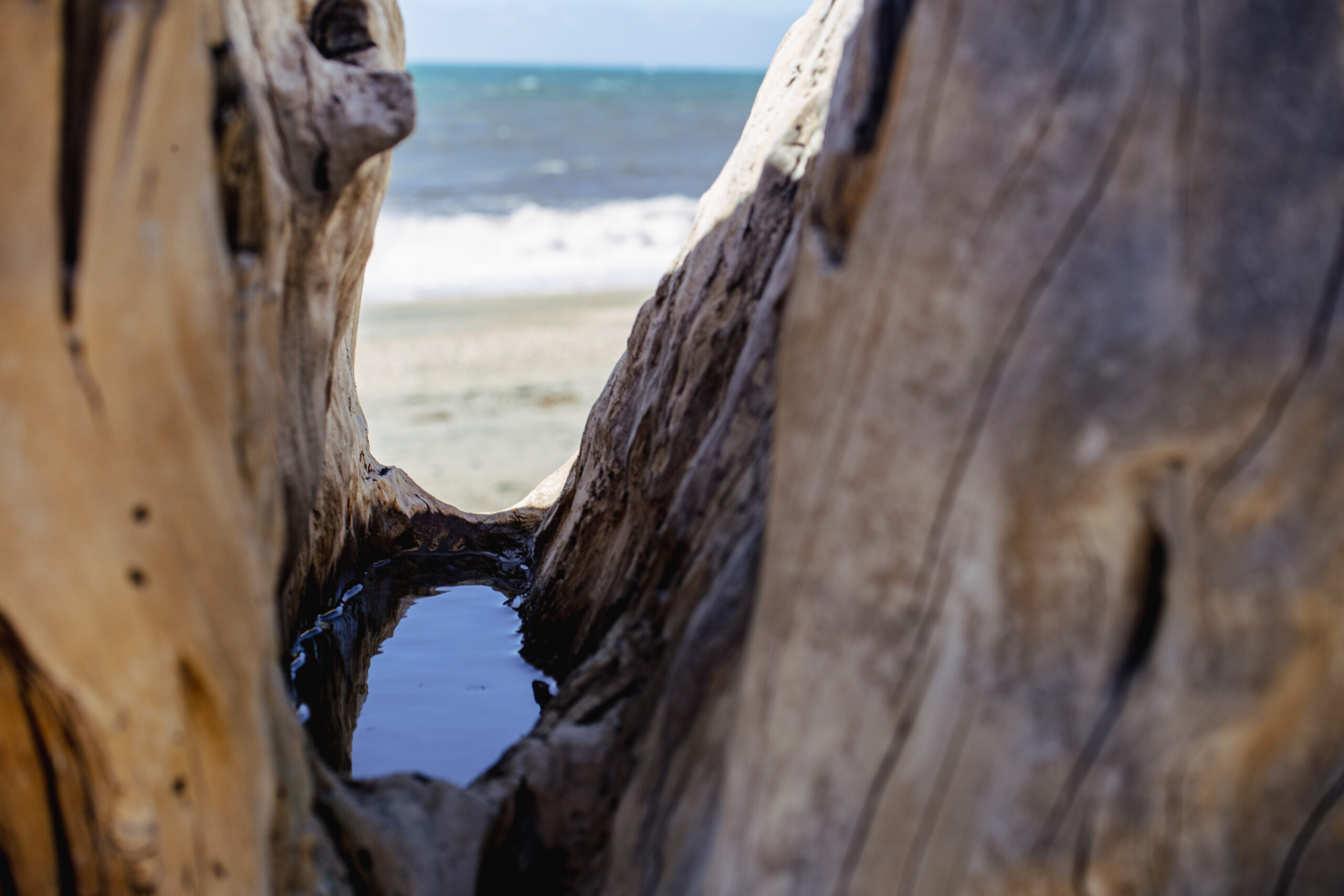
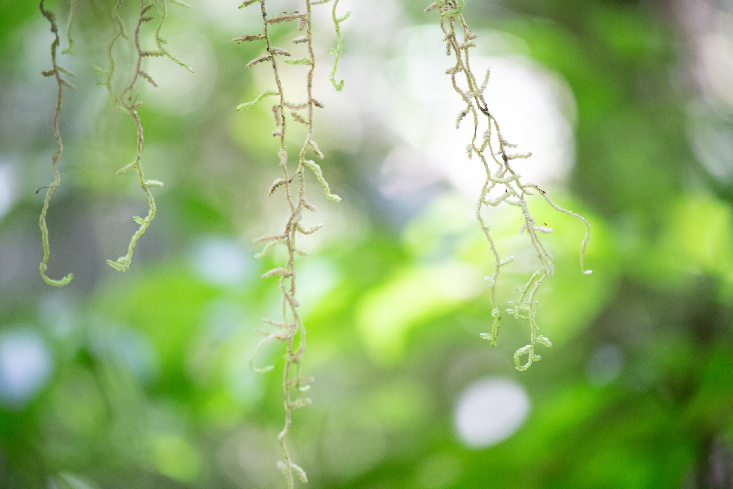
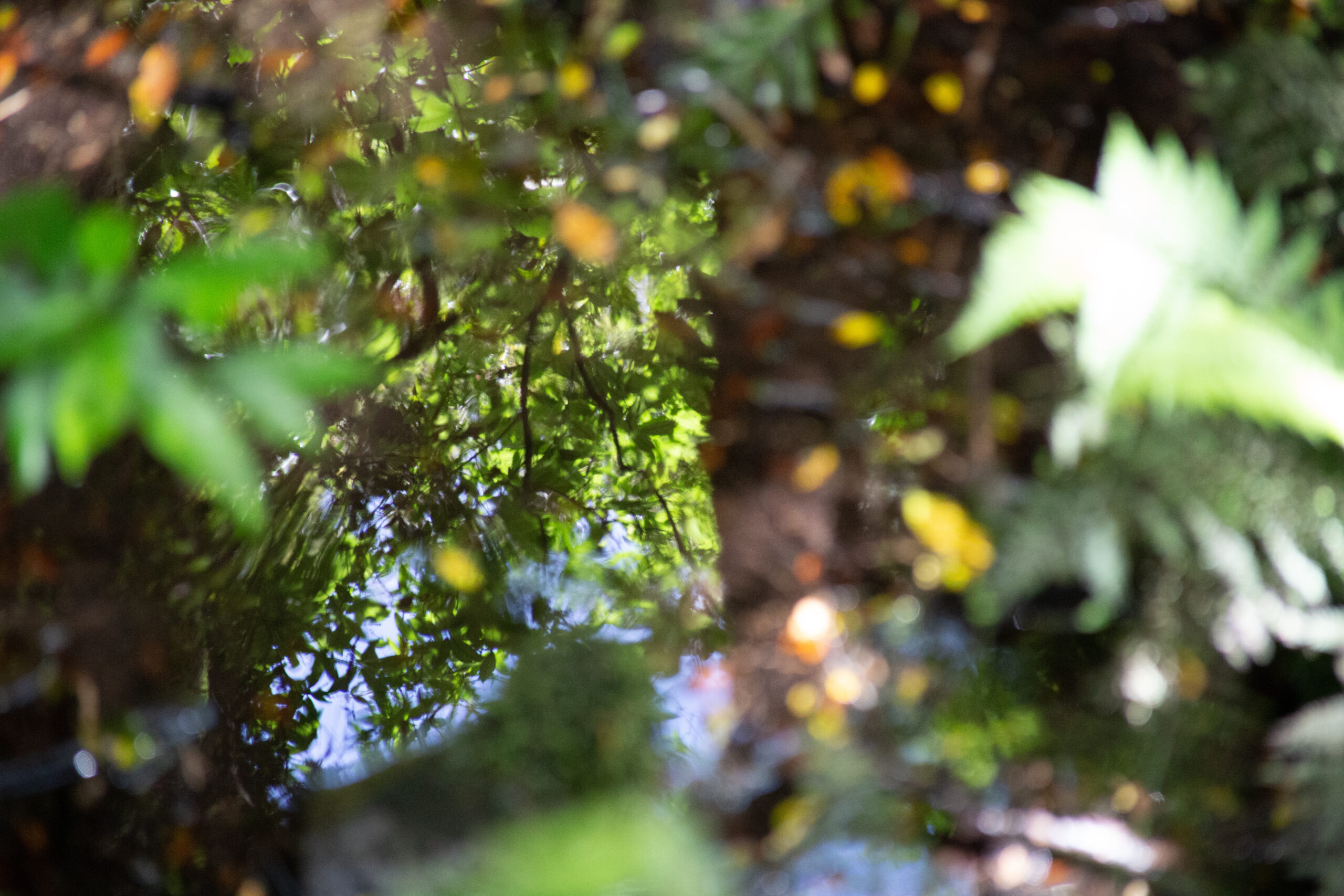
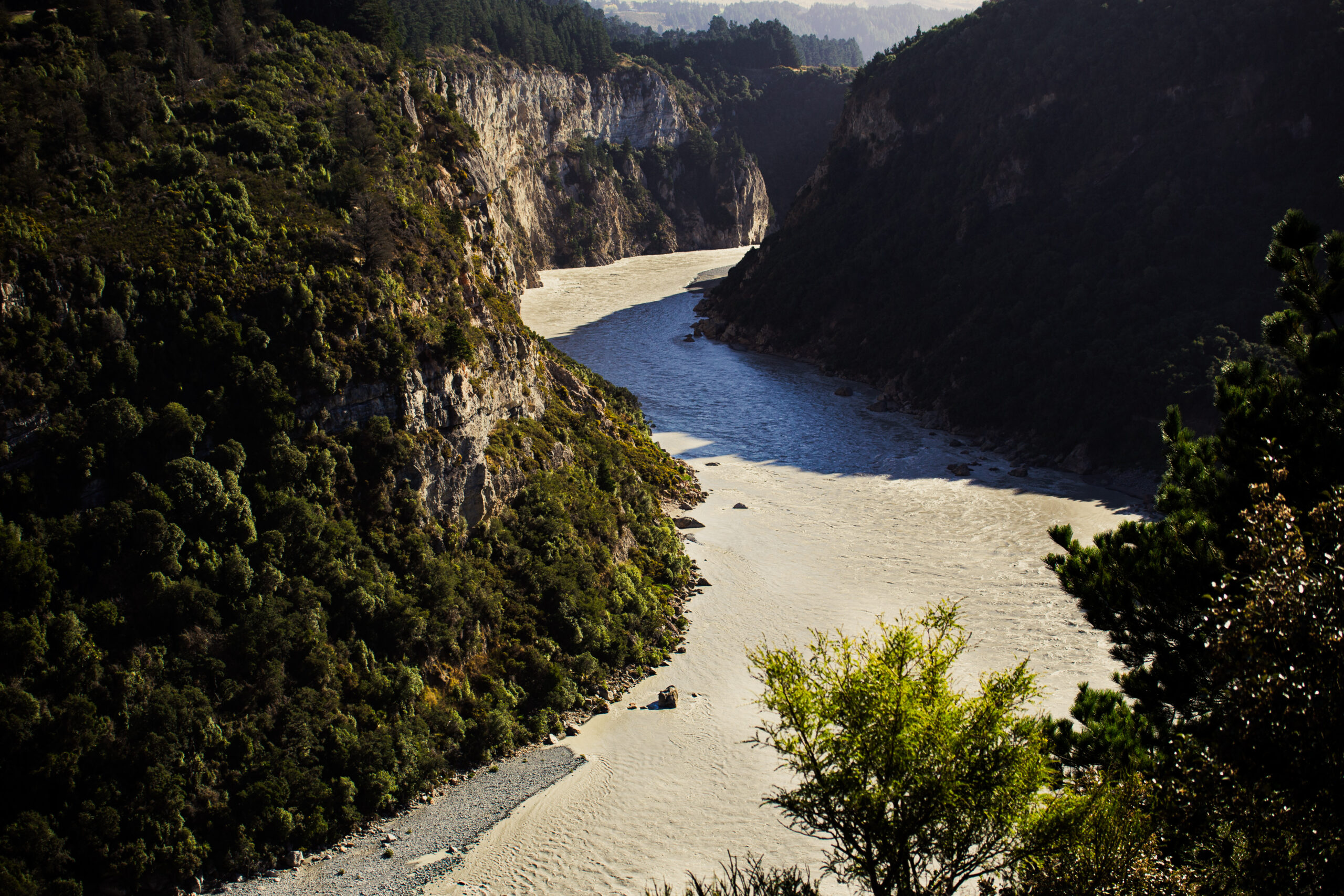
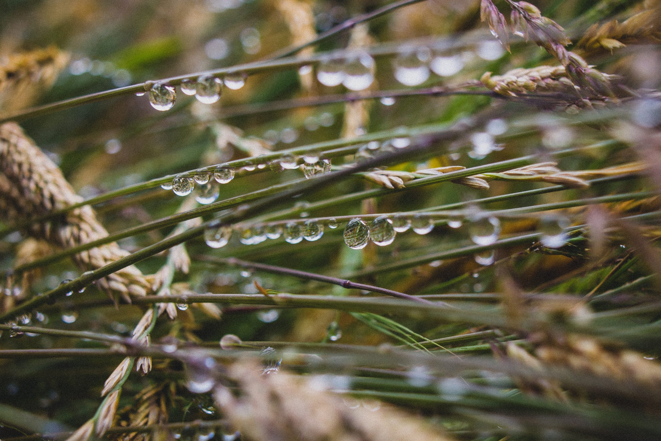
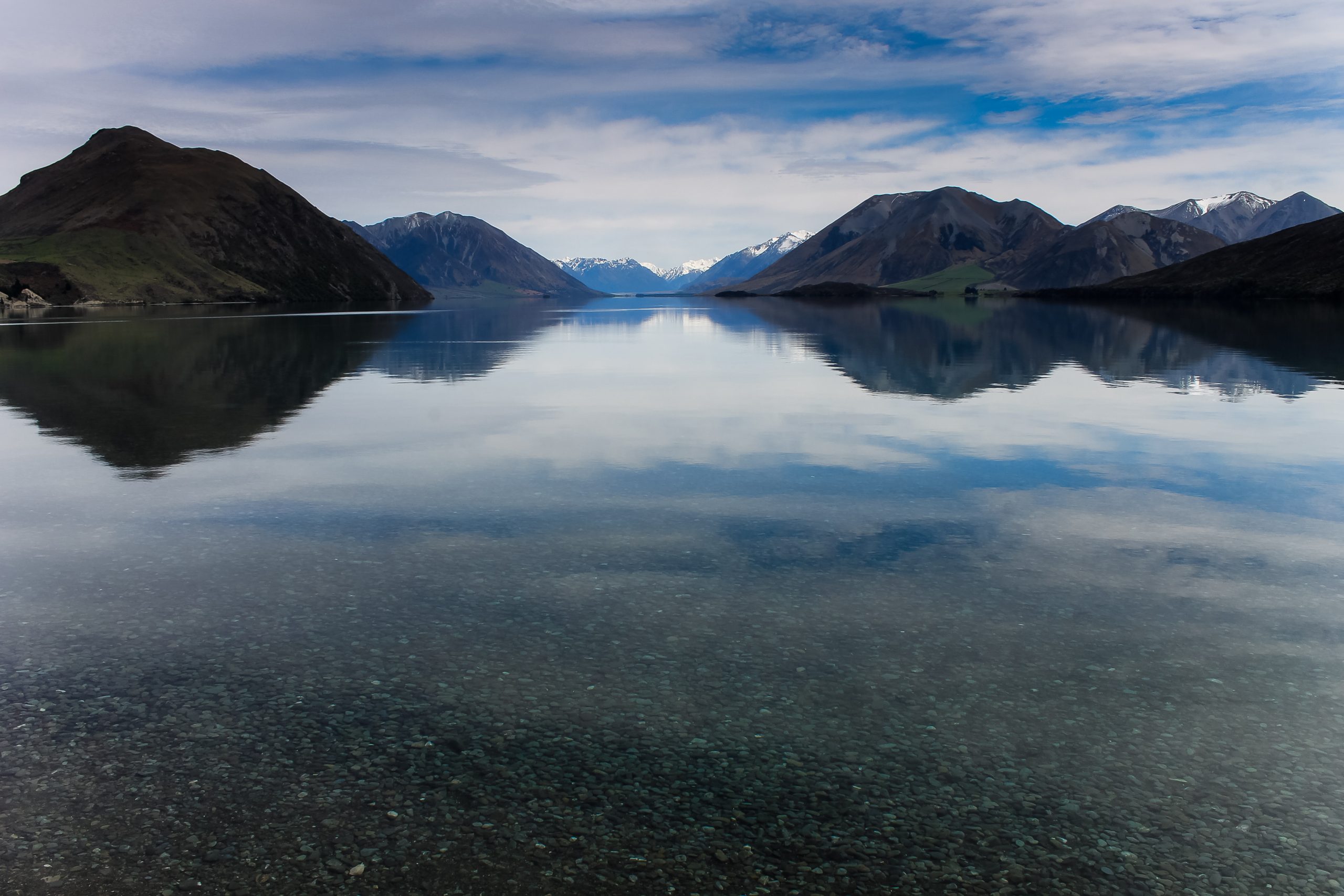
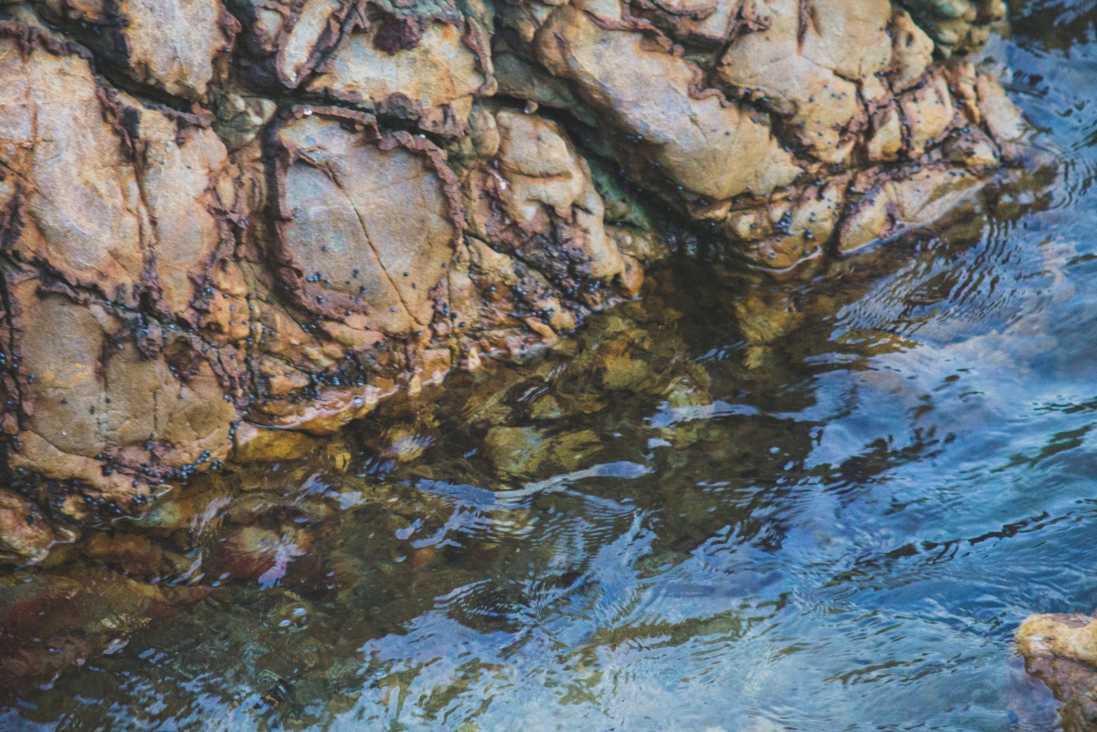
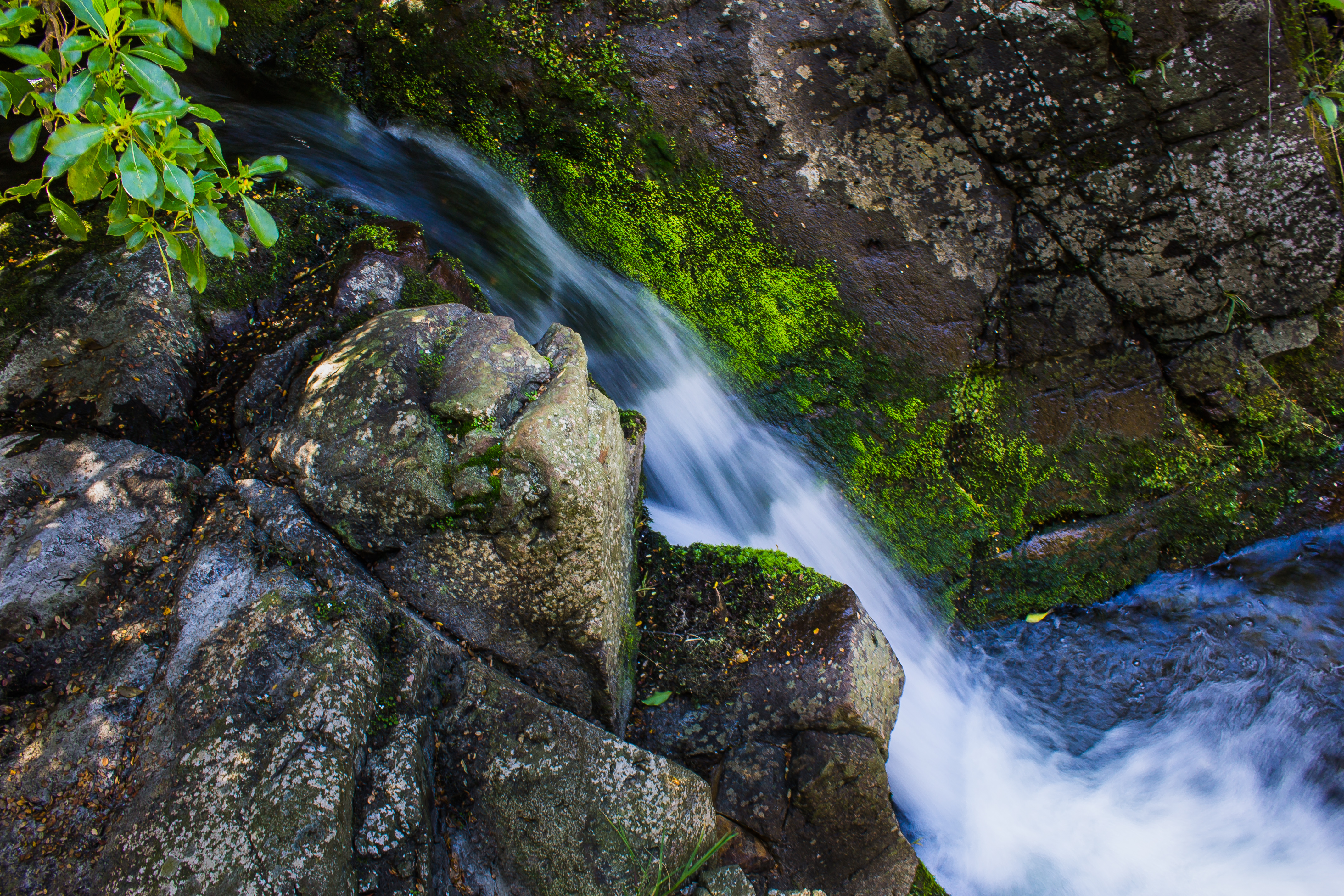
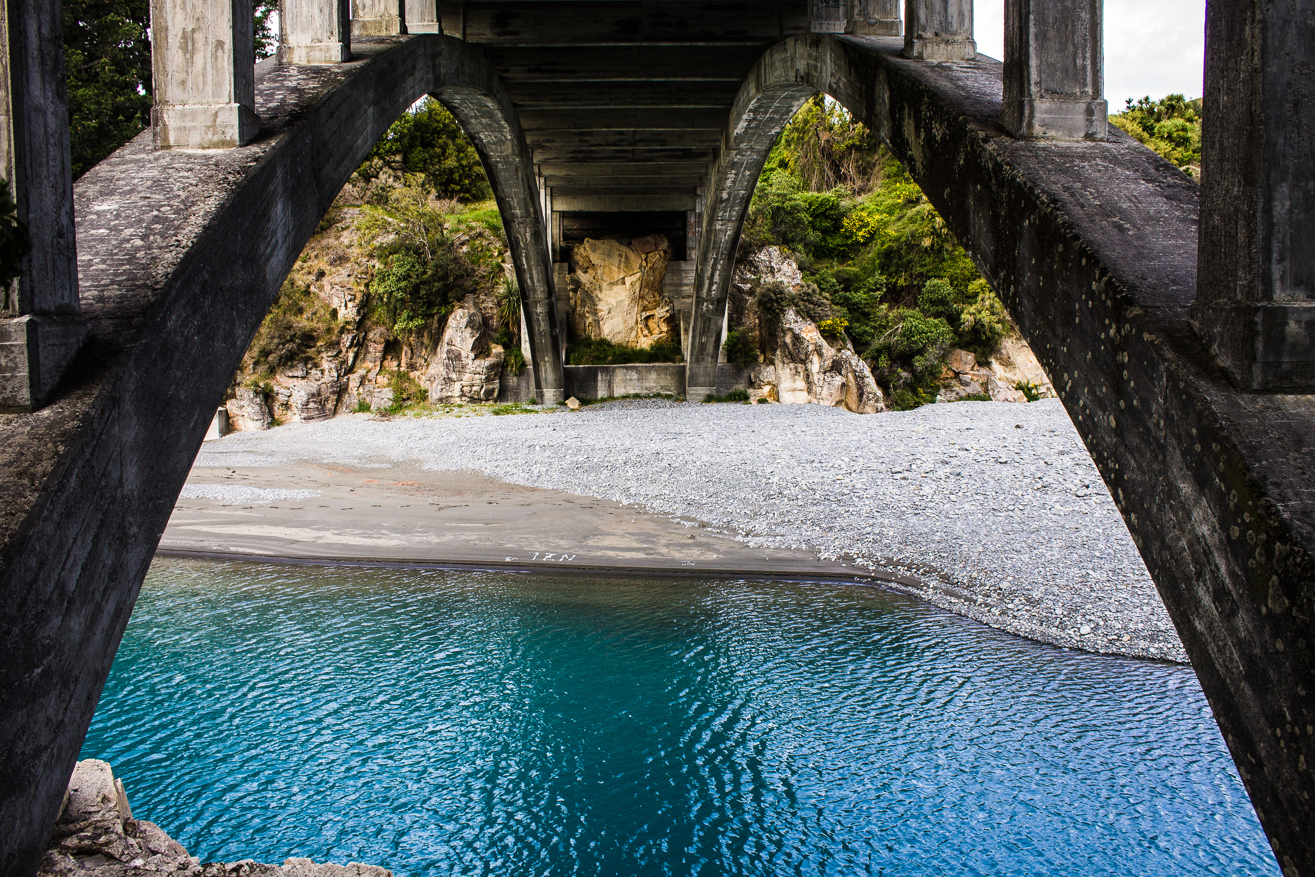
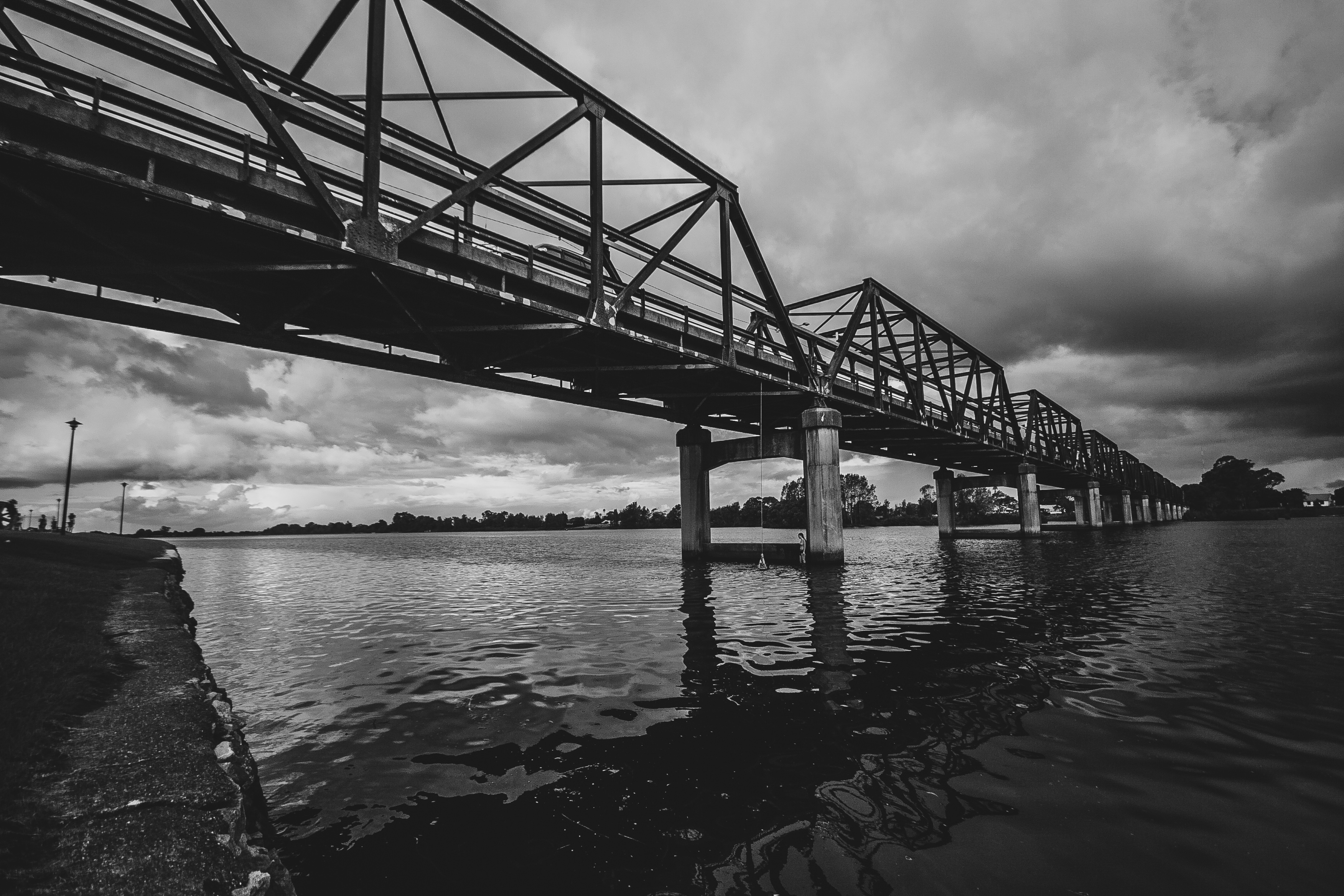
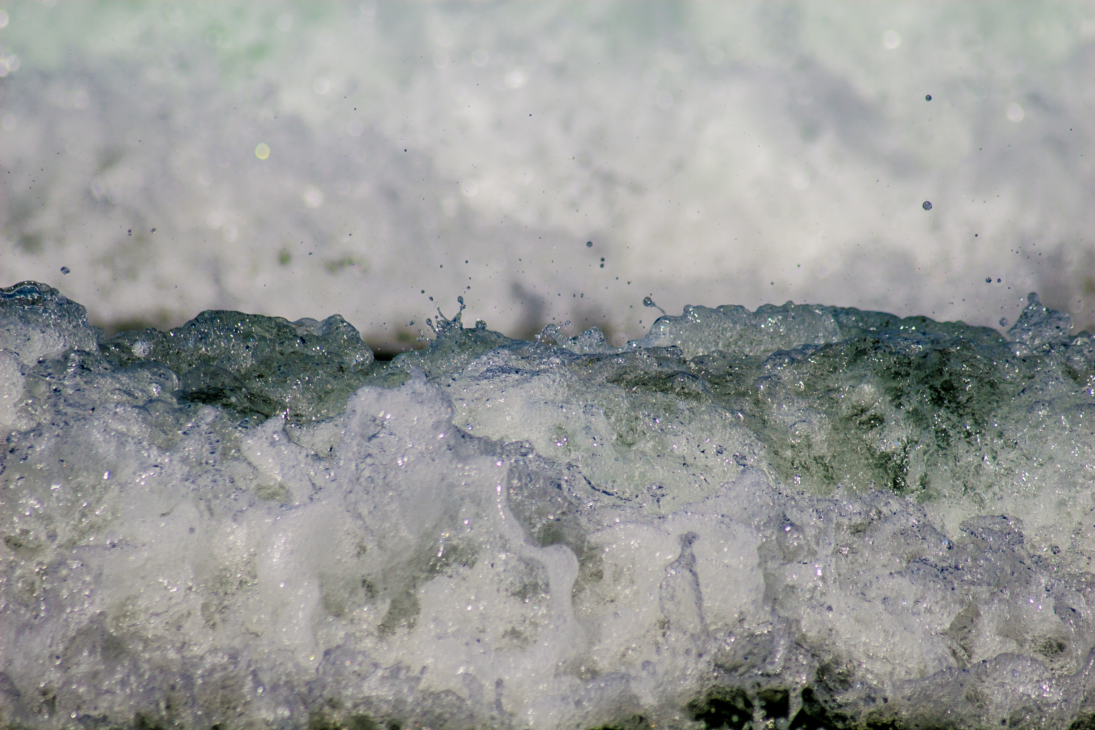
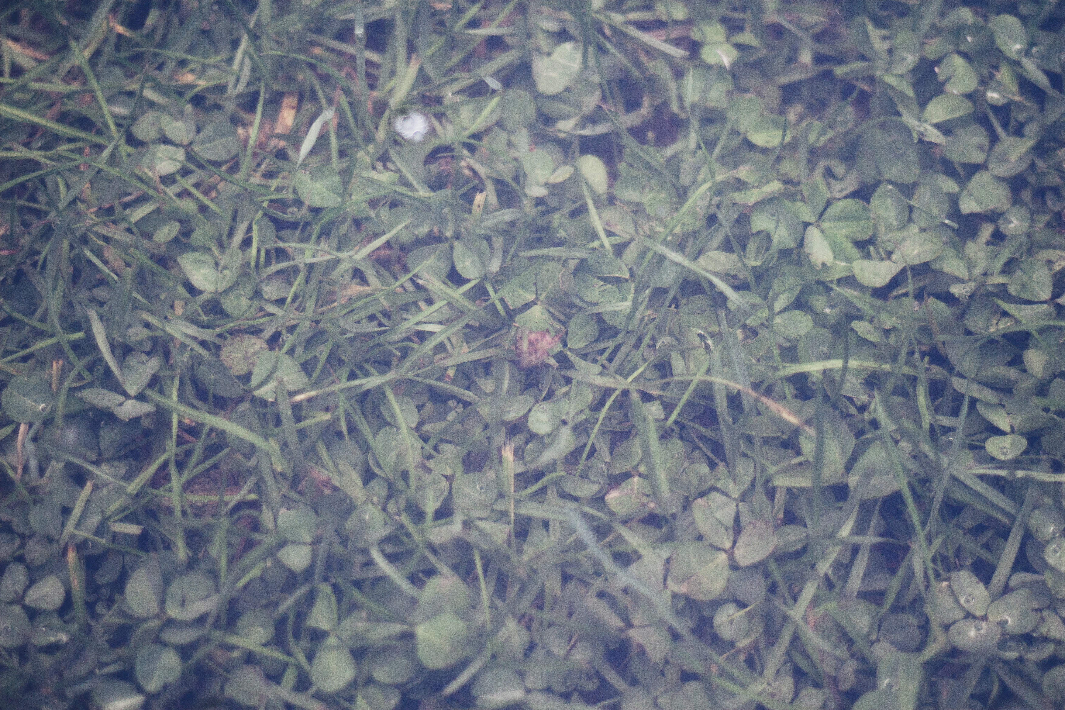
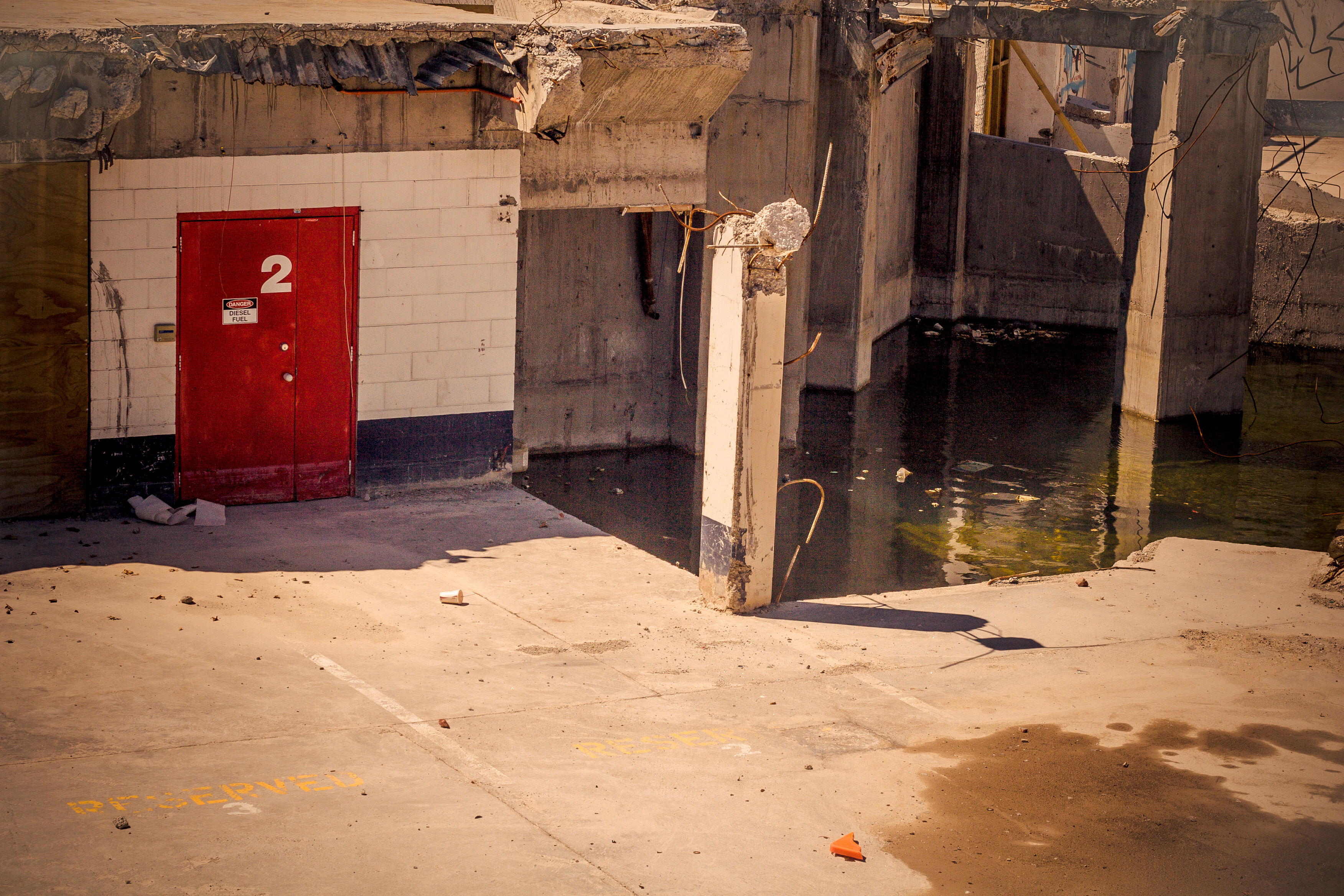
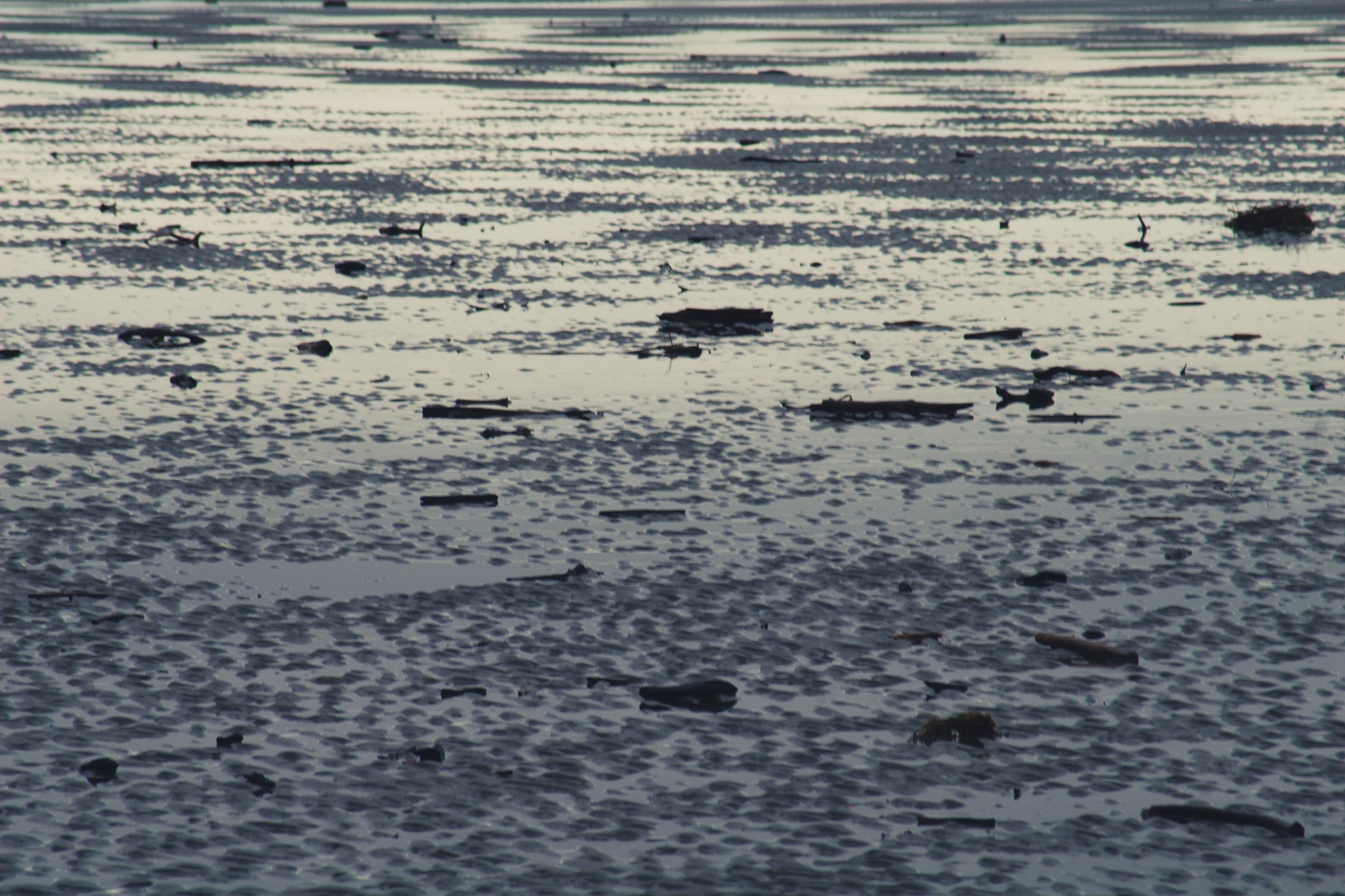
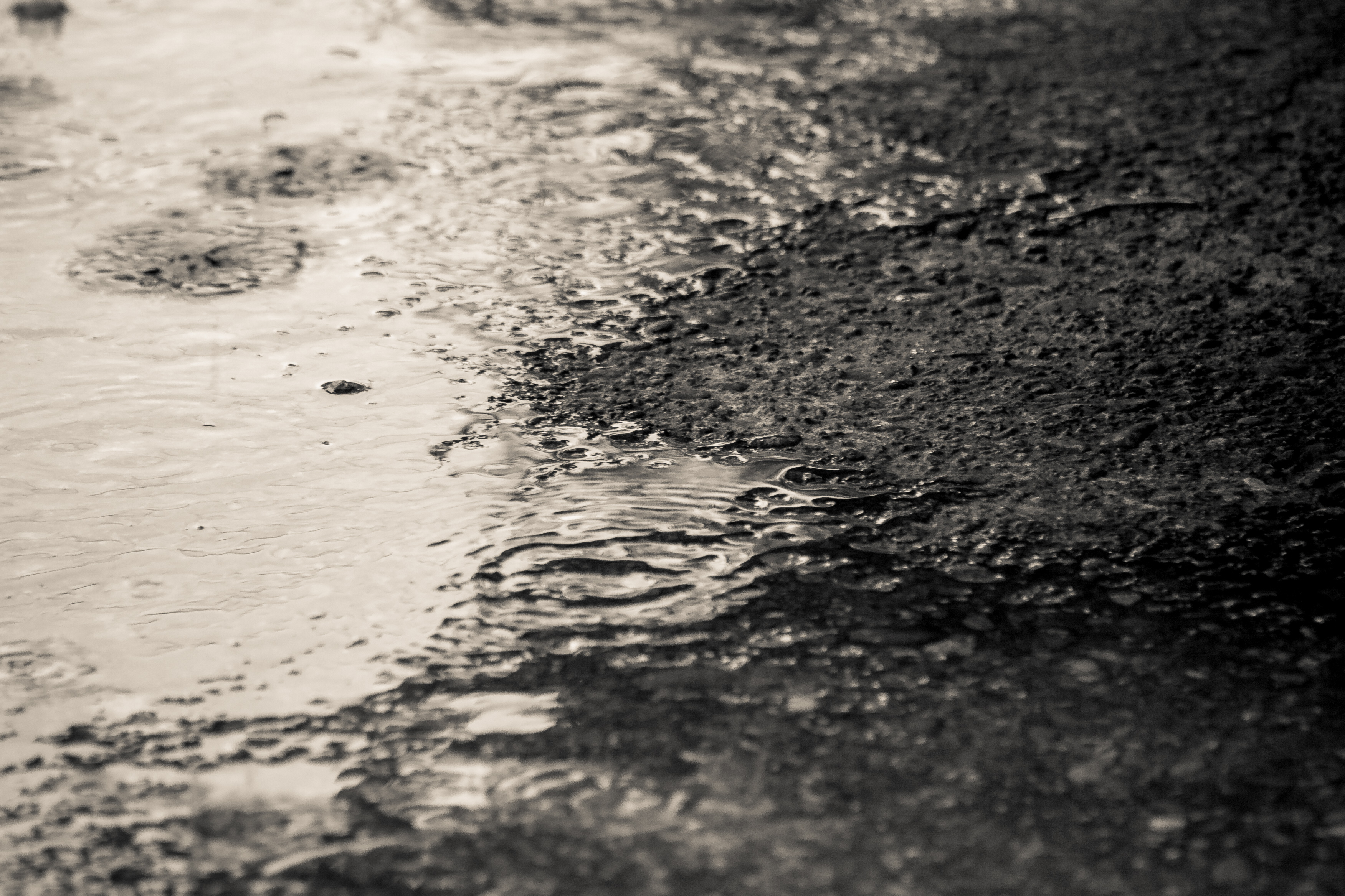
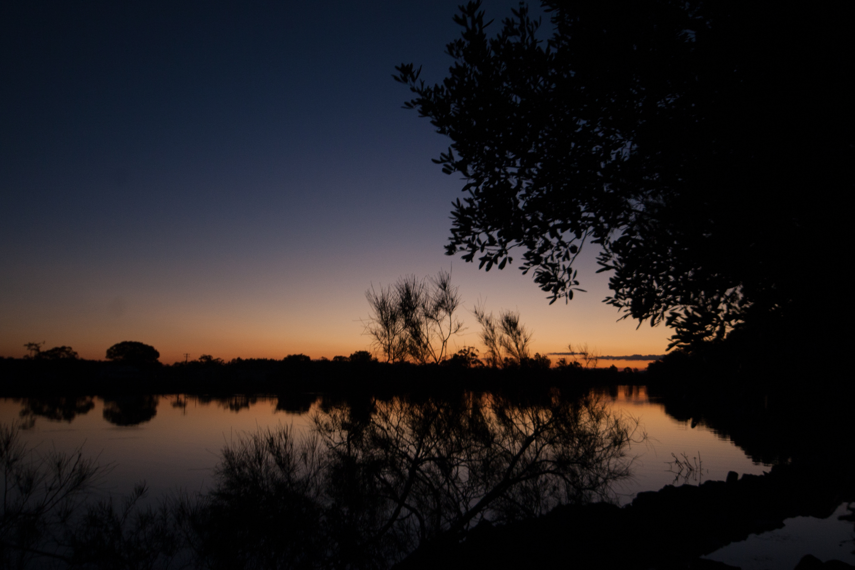
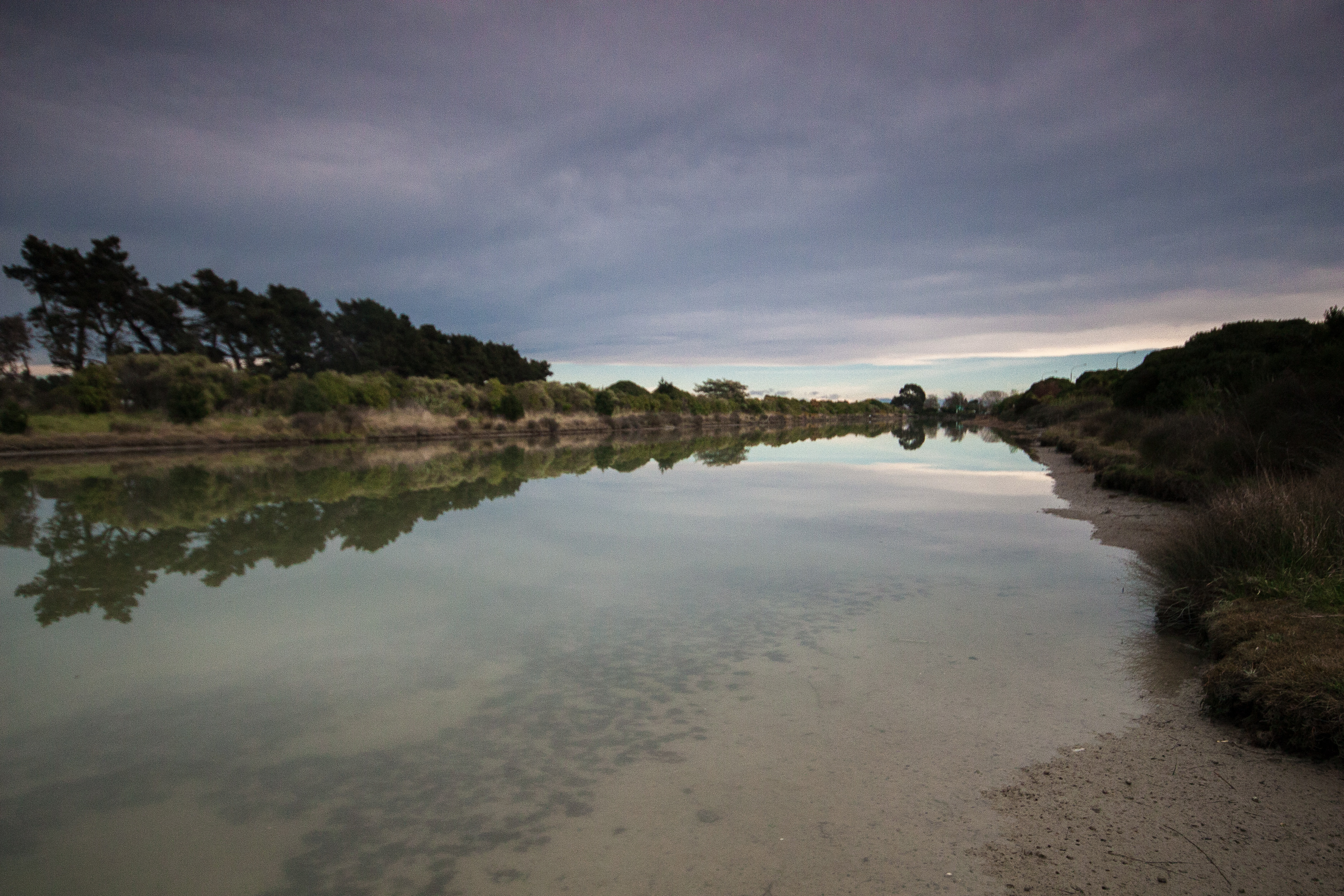
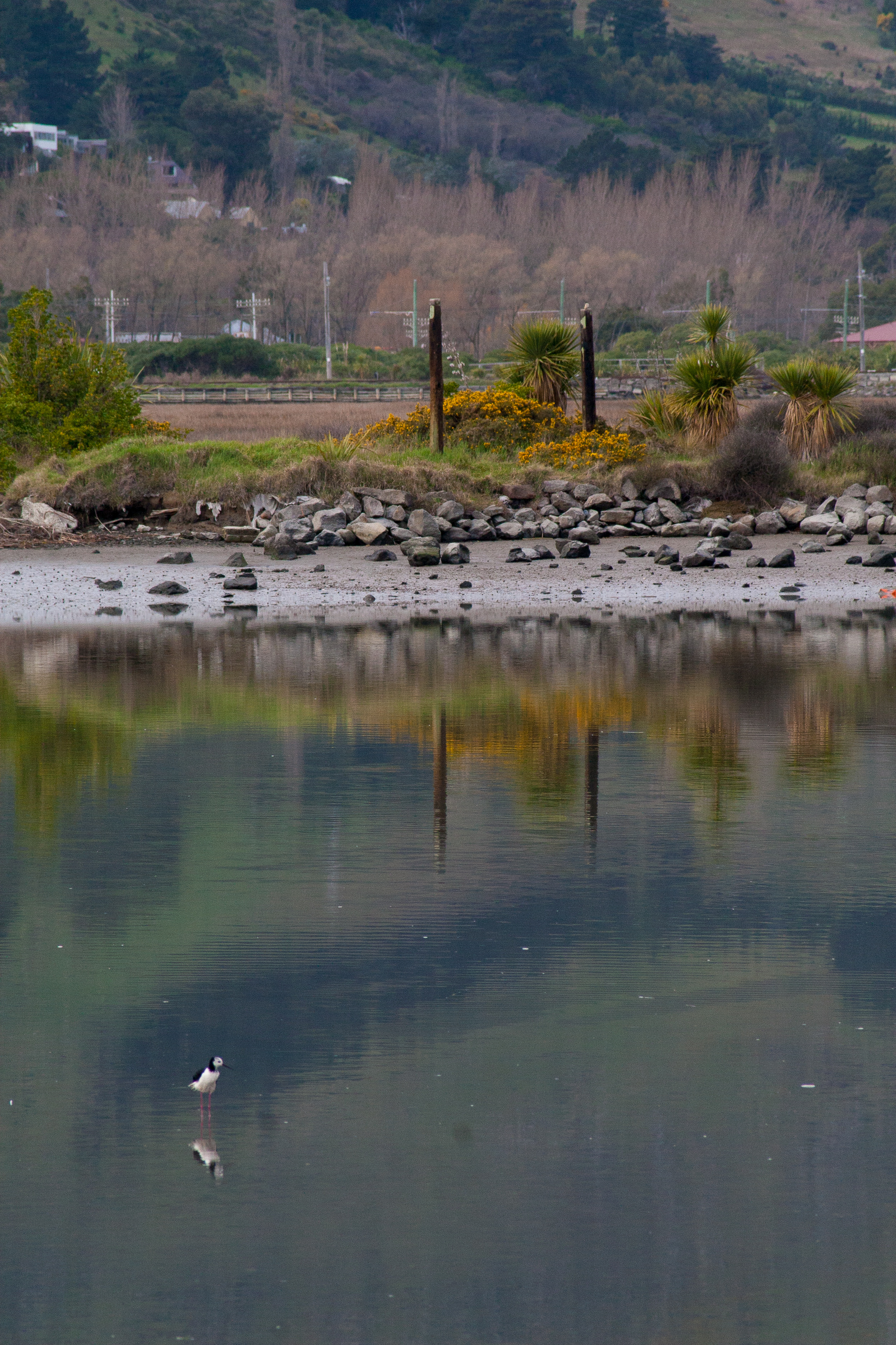
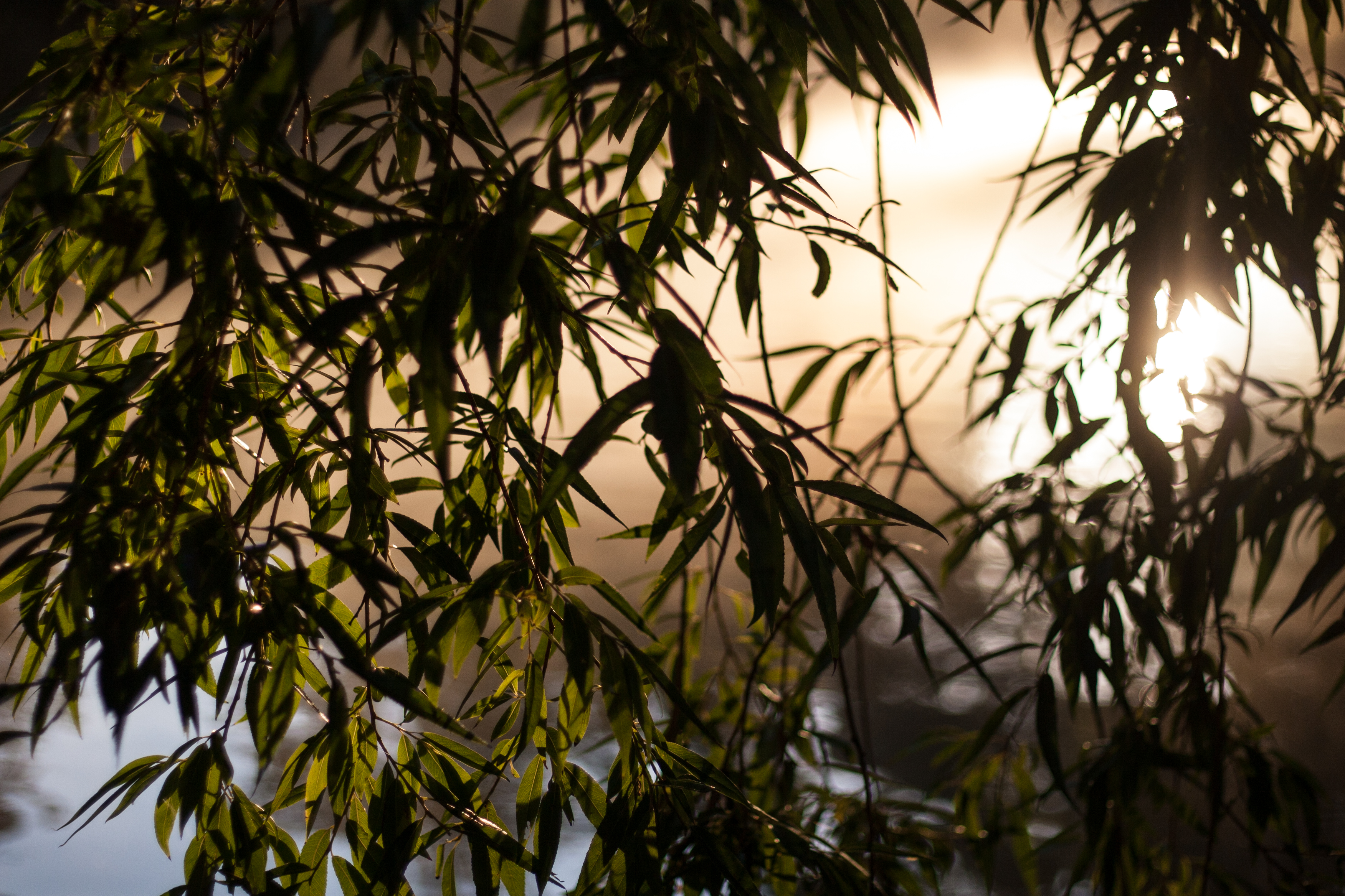
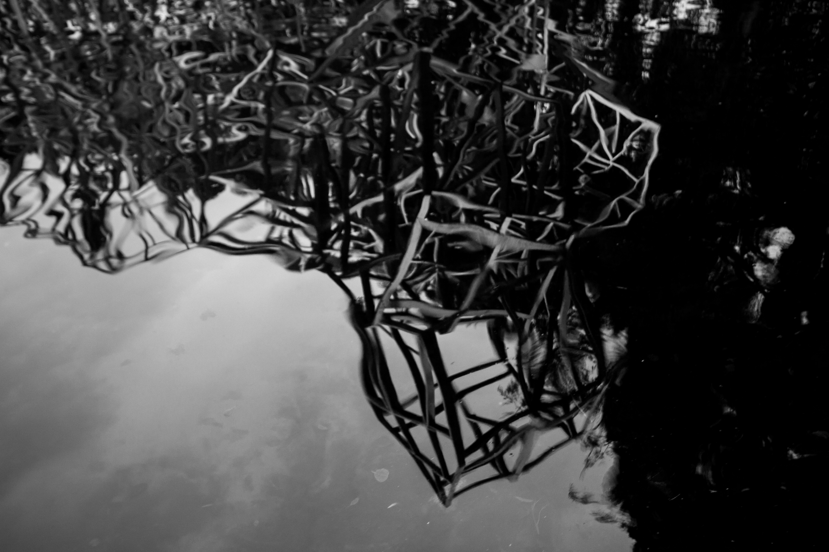
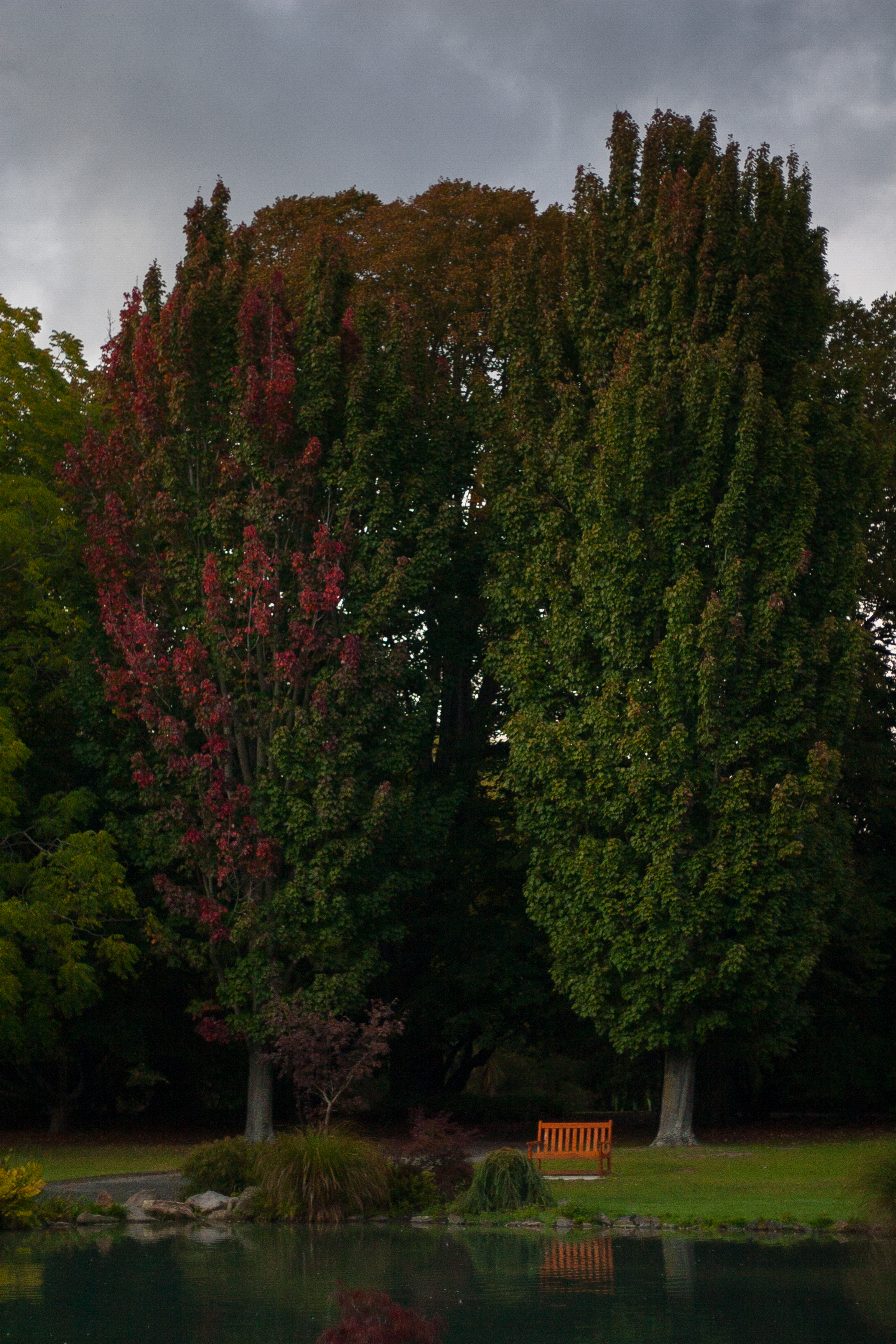
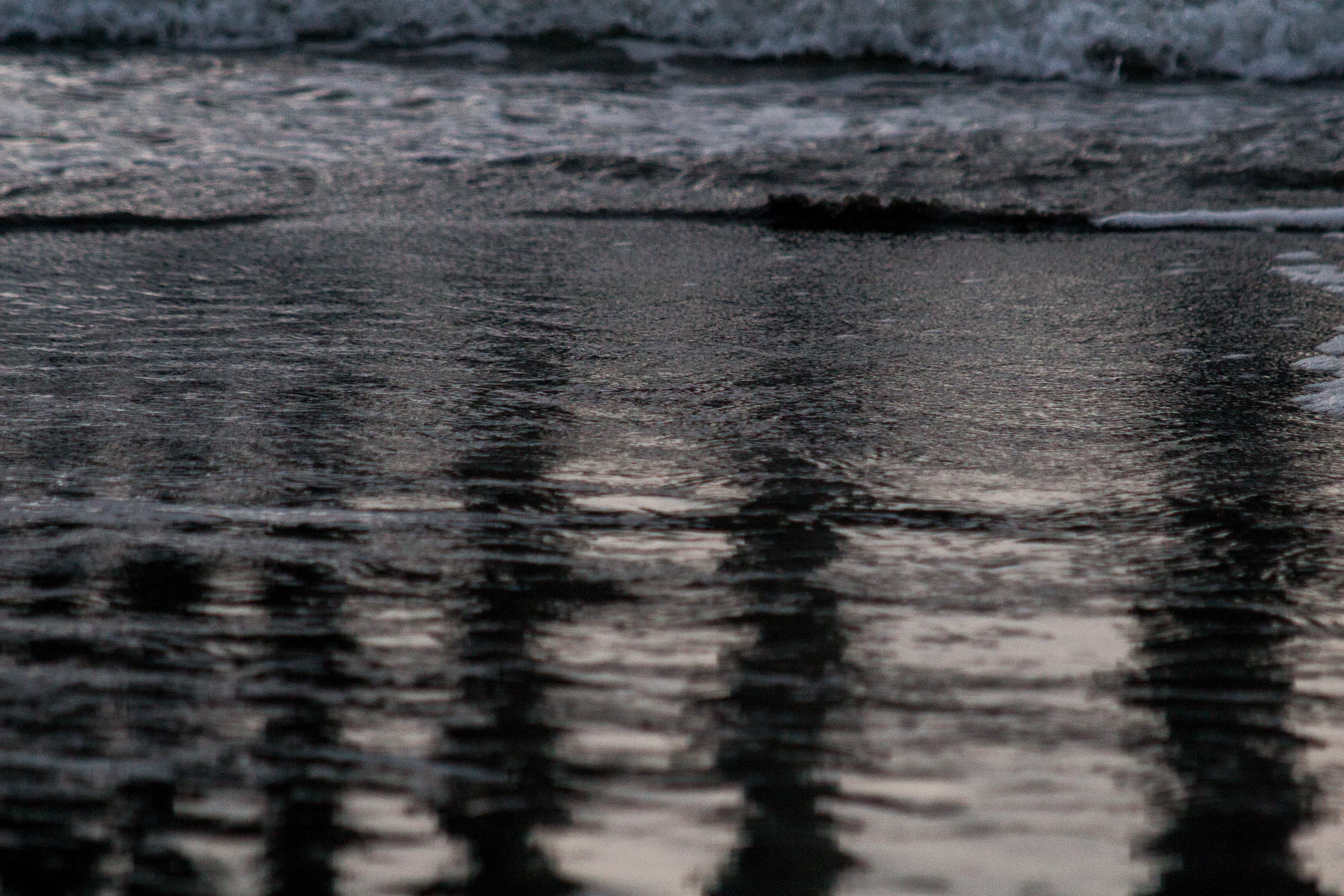
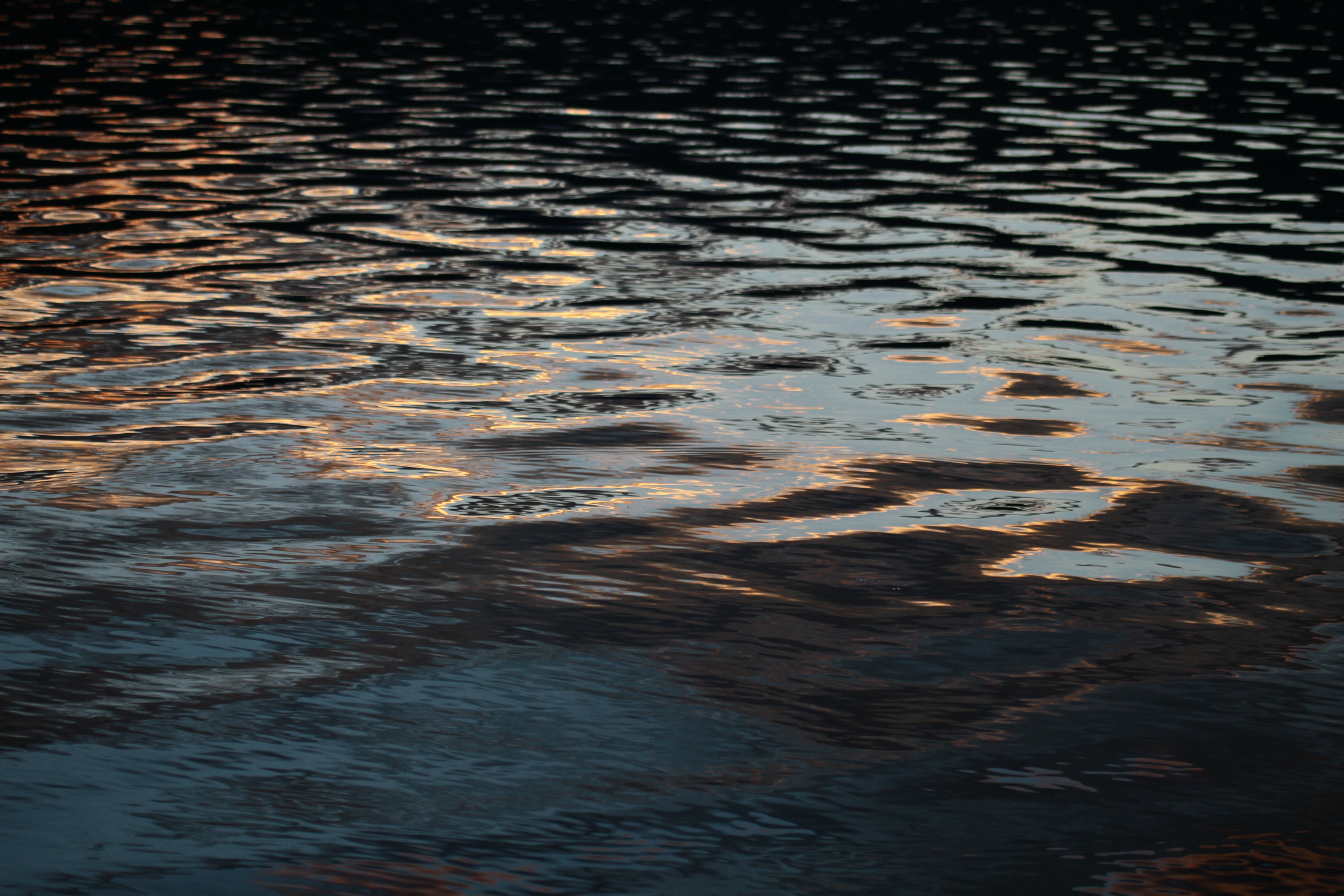
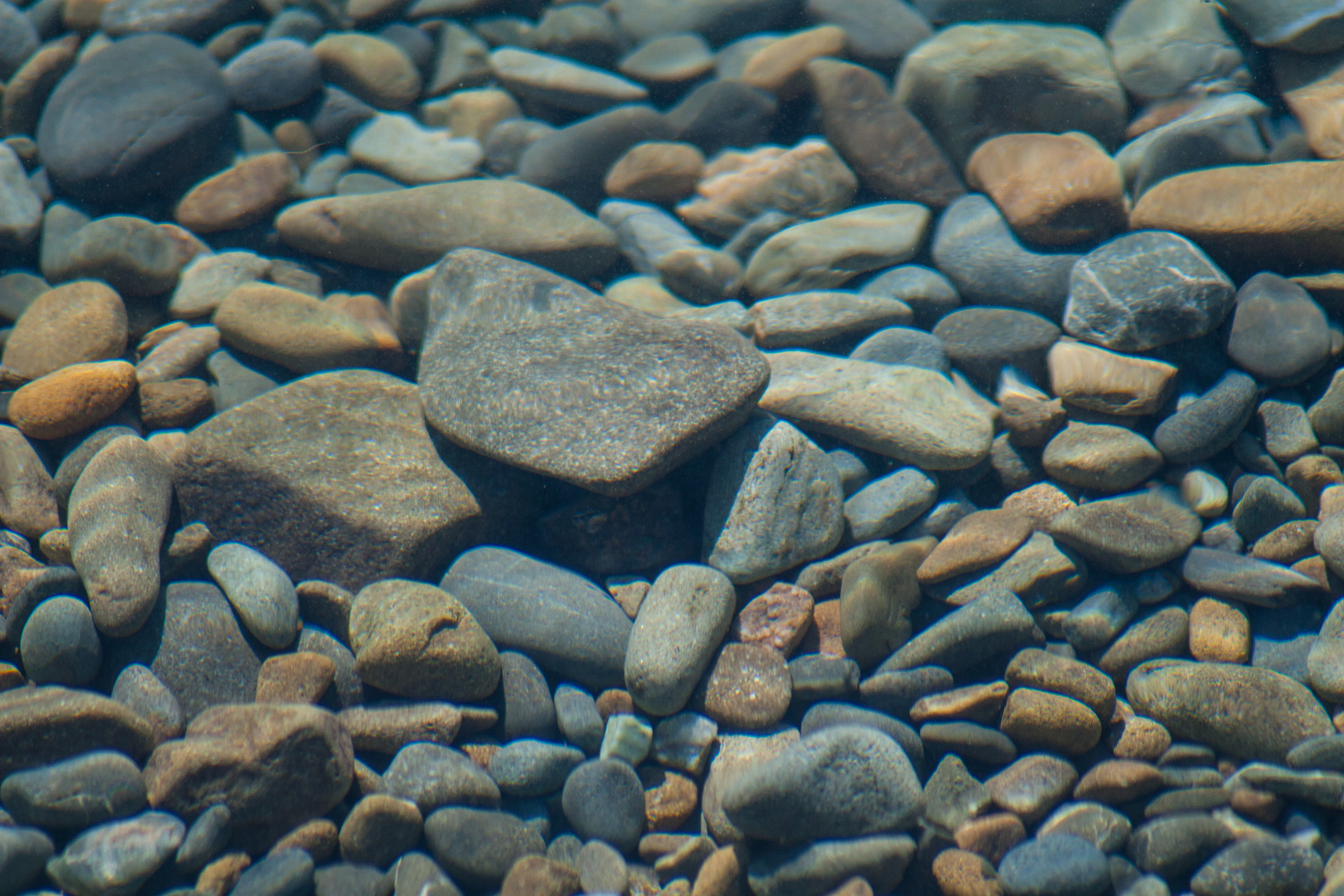
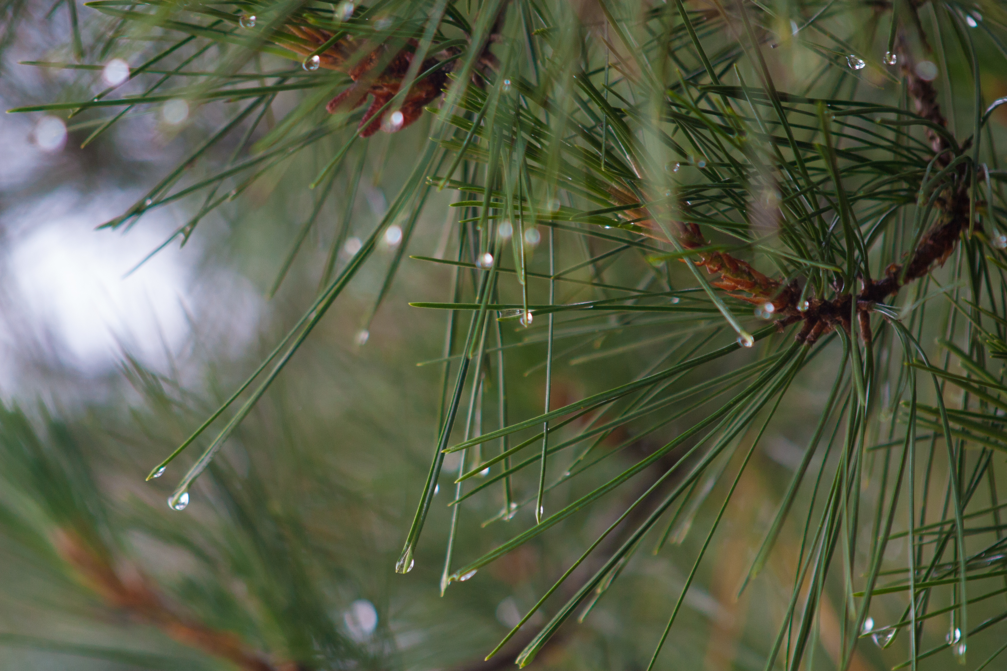
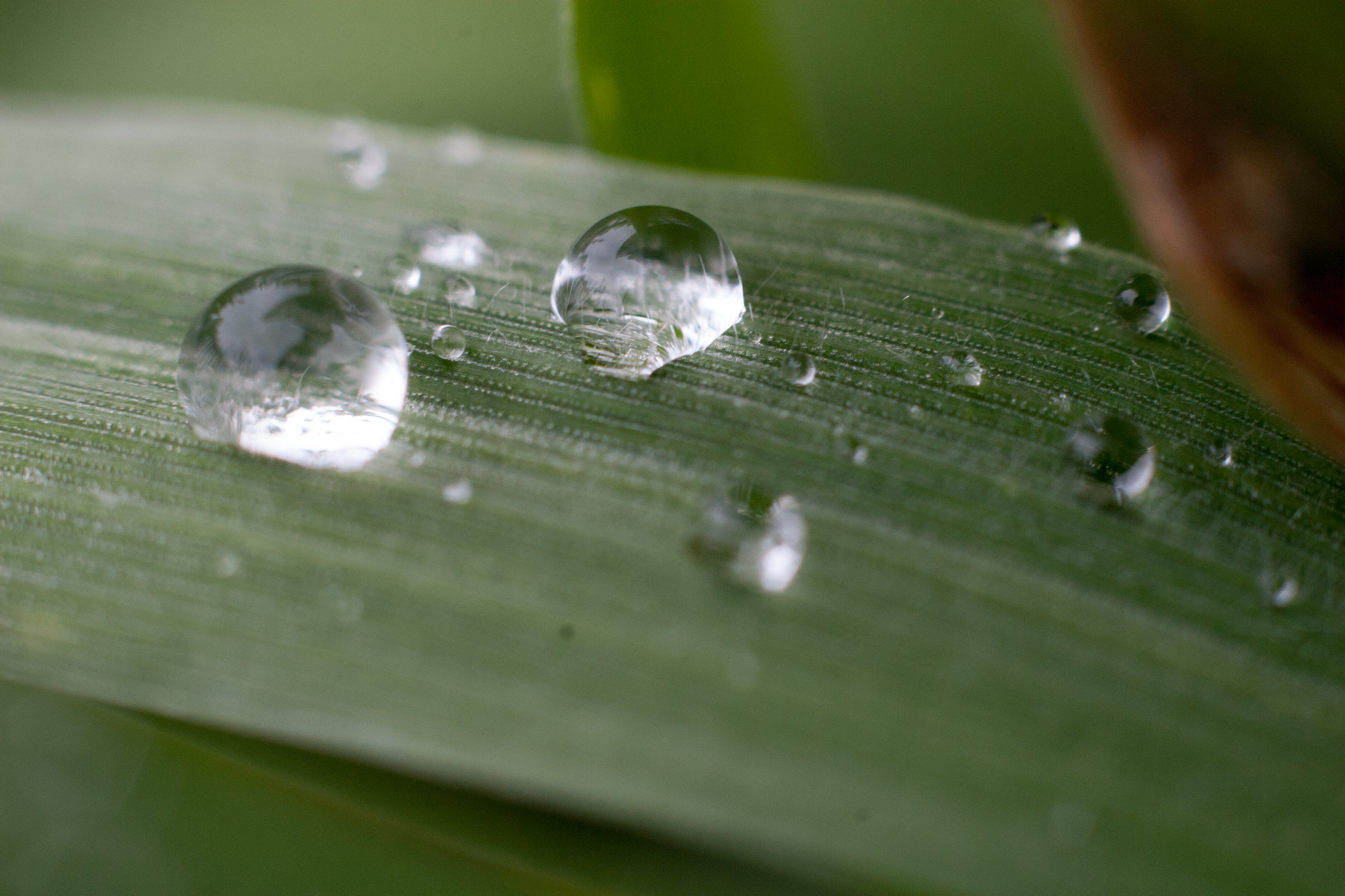
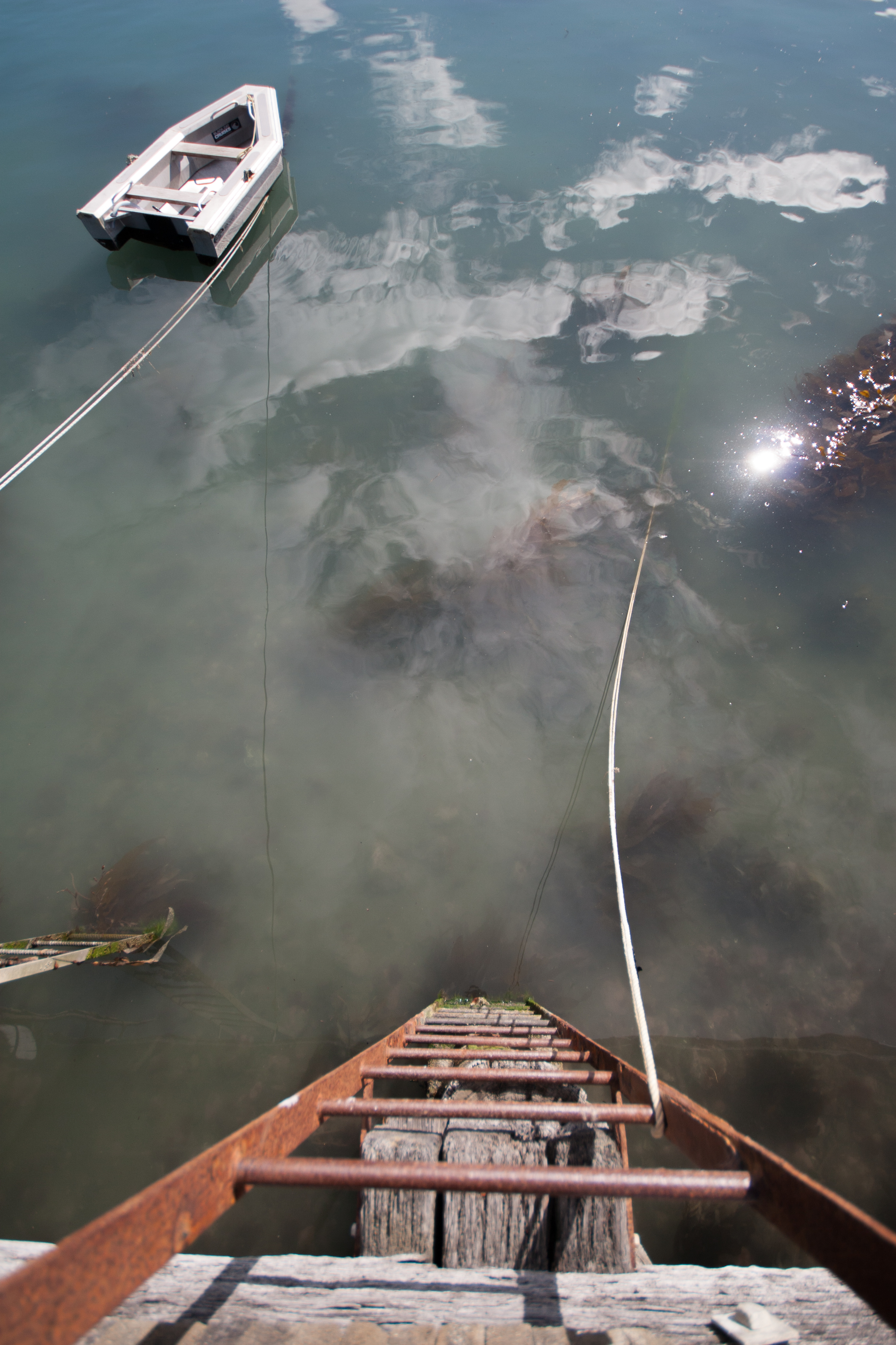
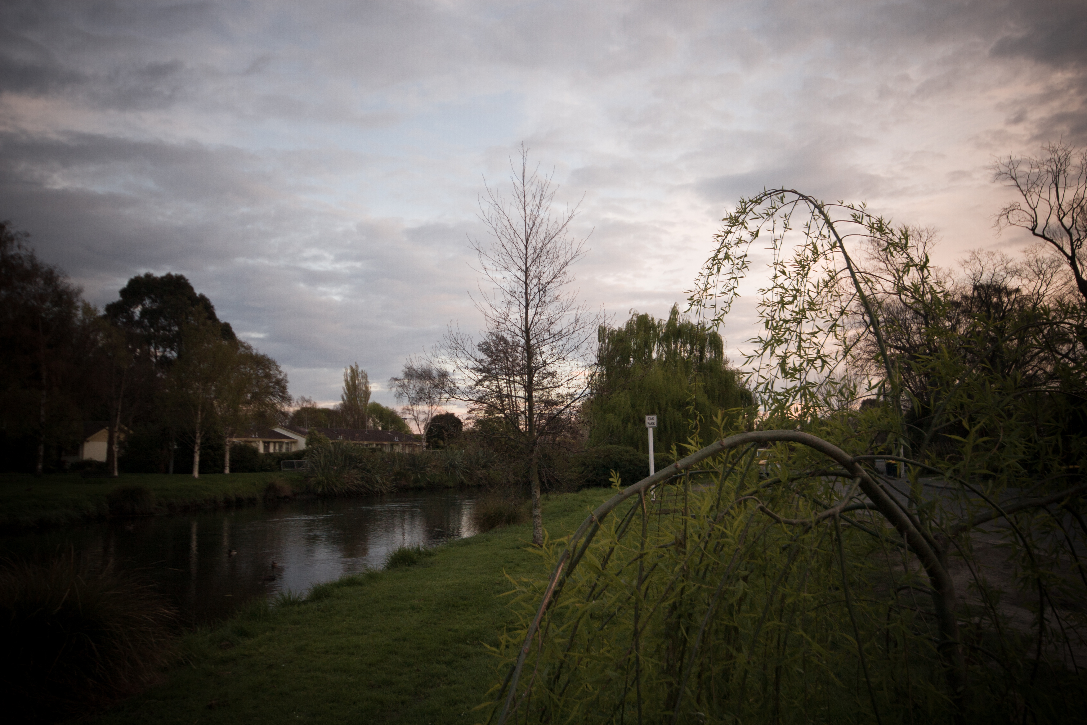
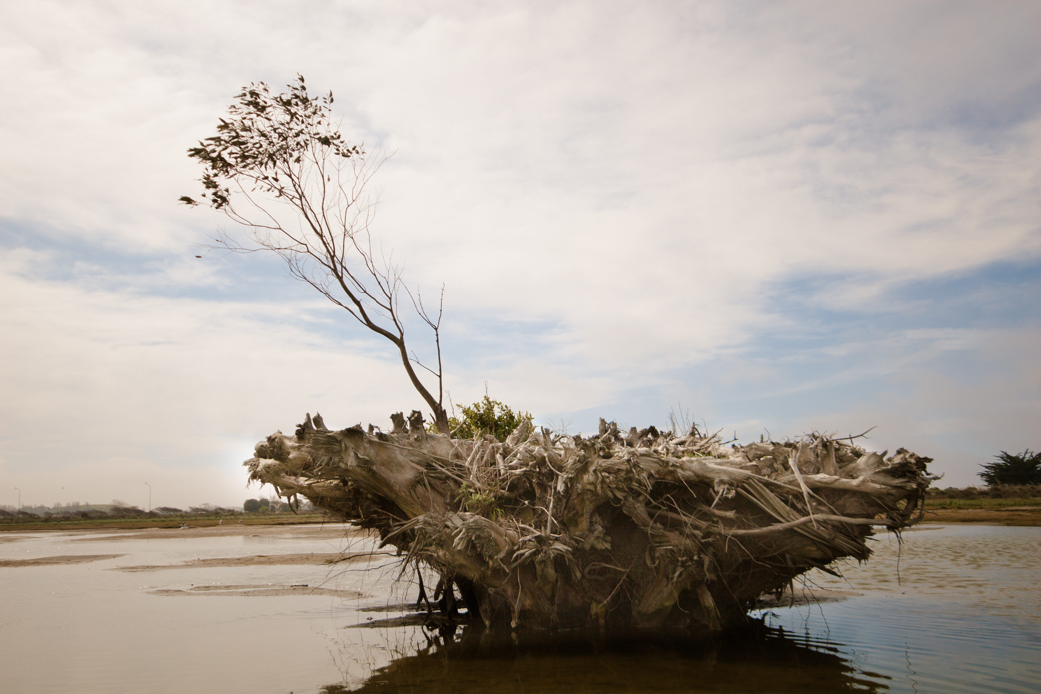
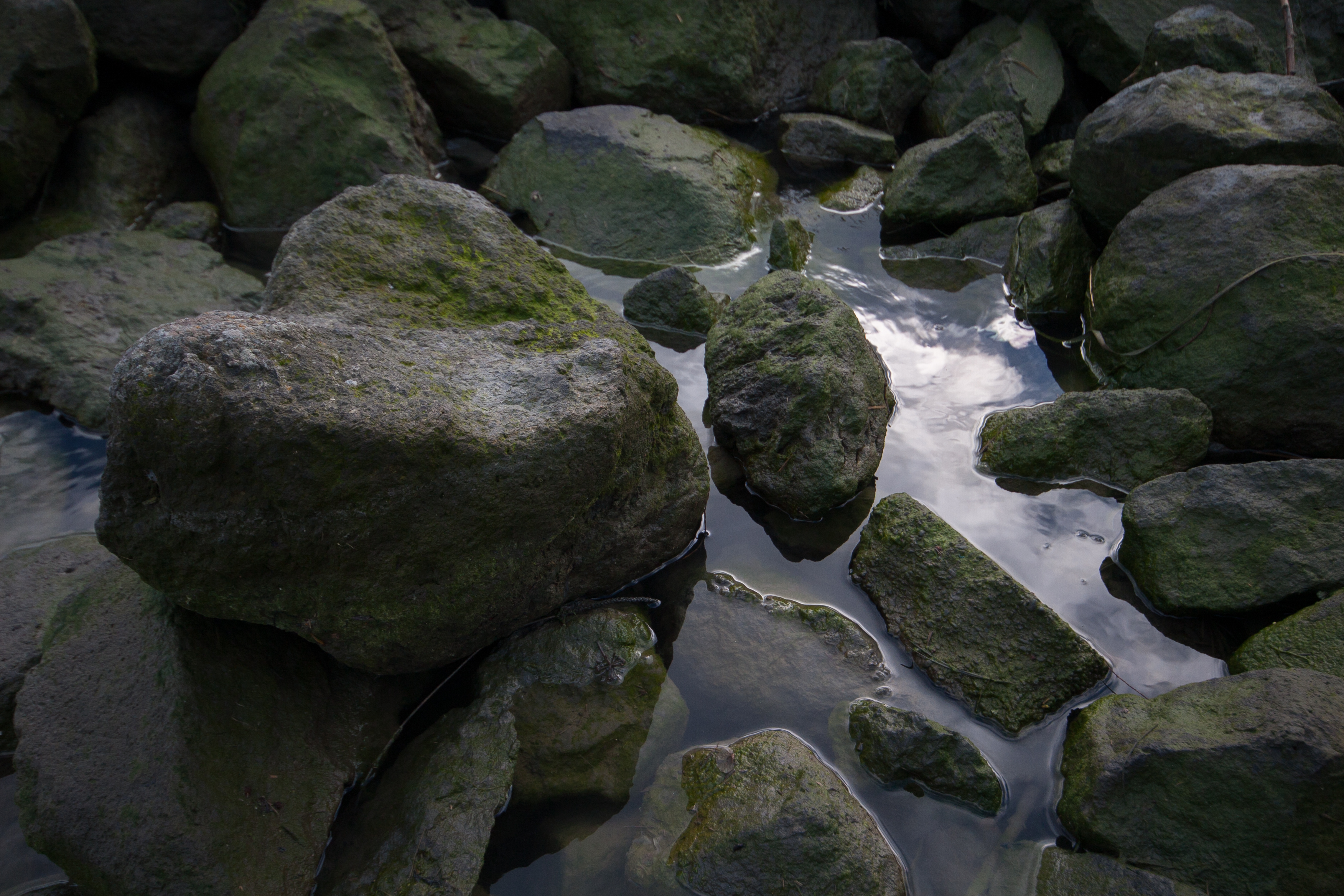
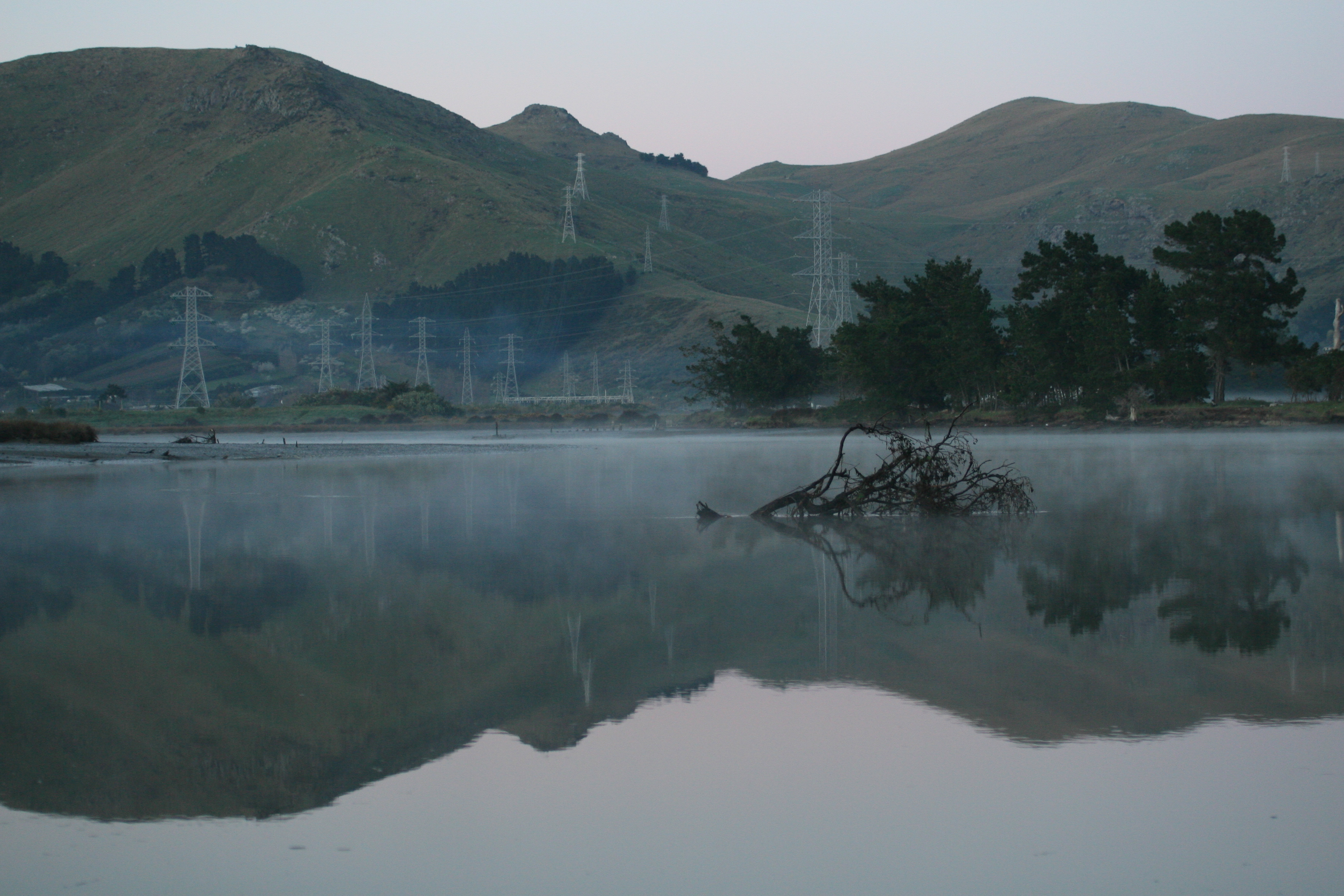
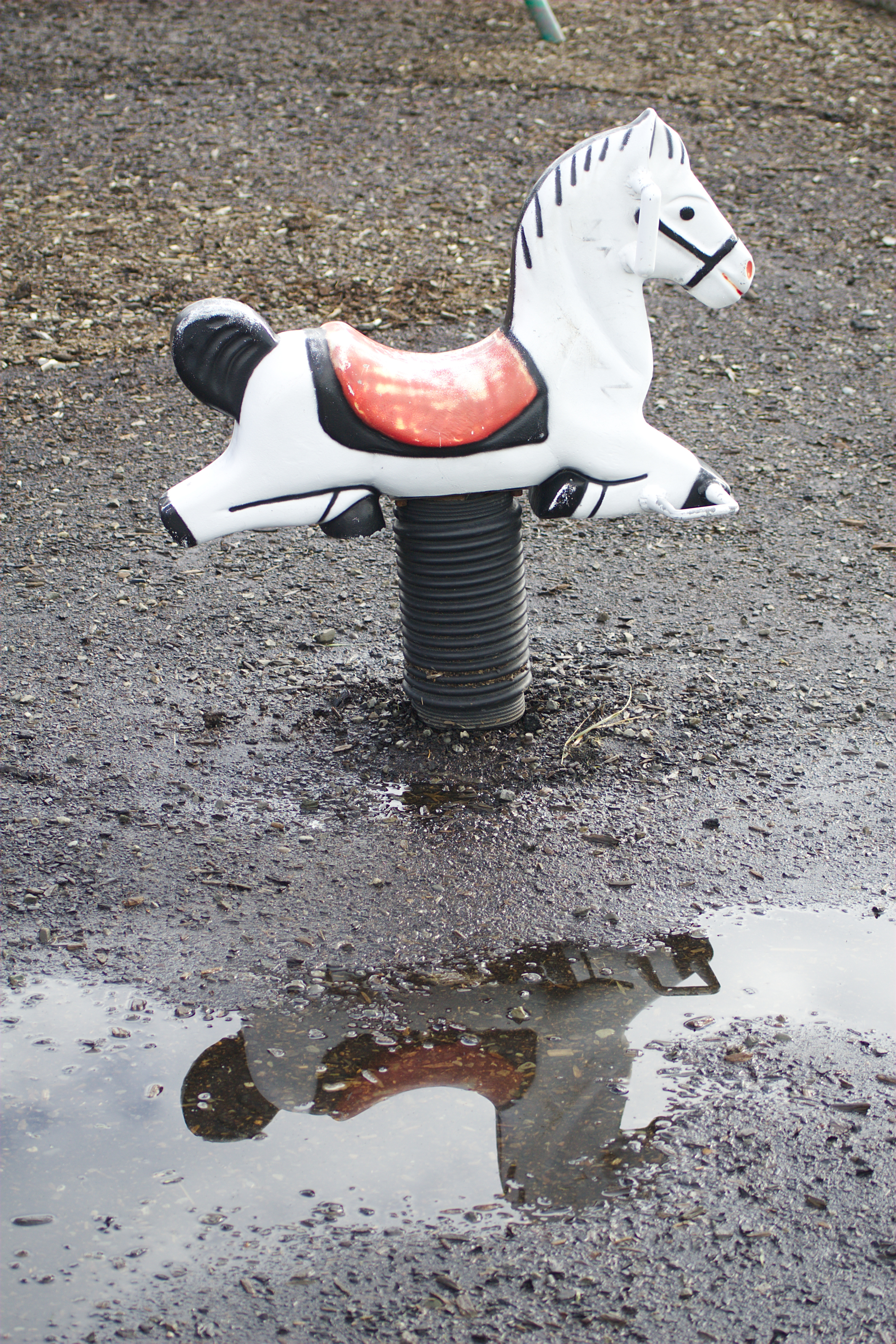
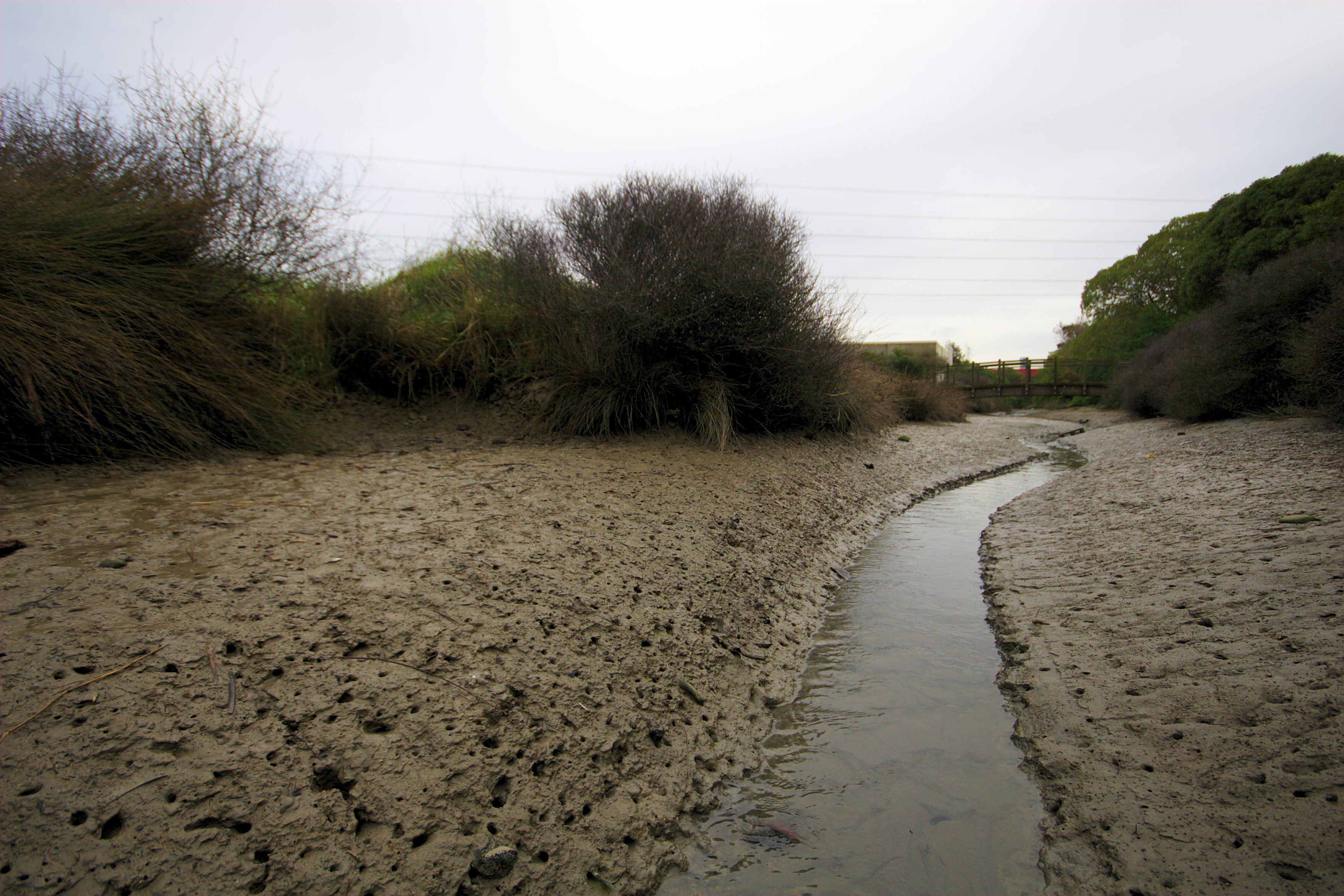
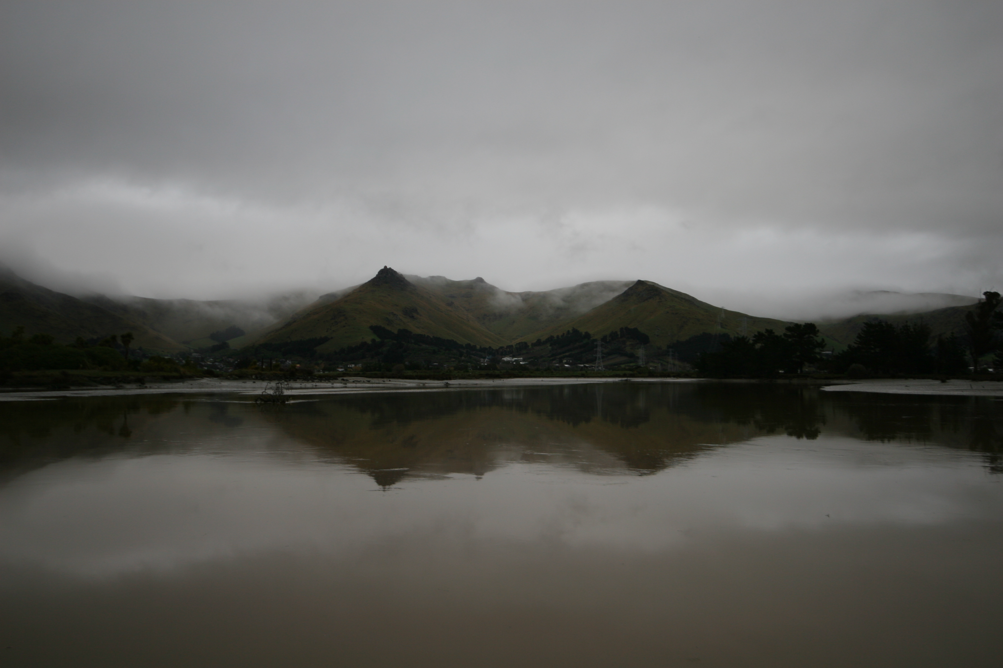
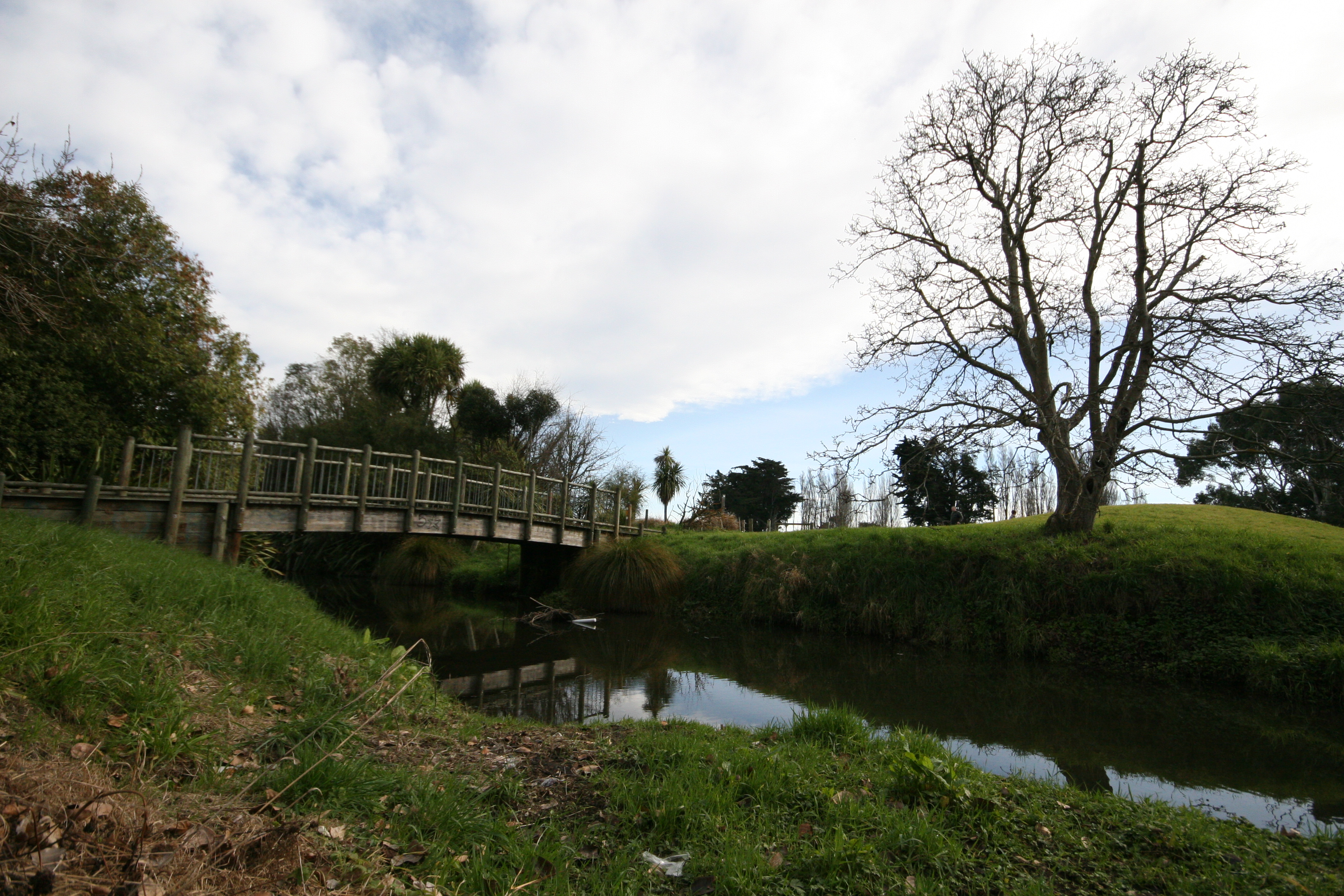
reflections in the stream
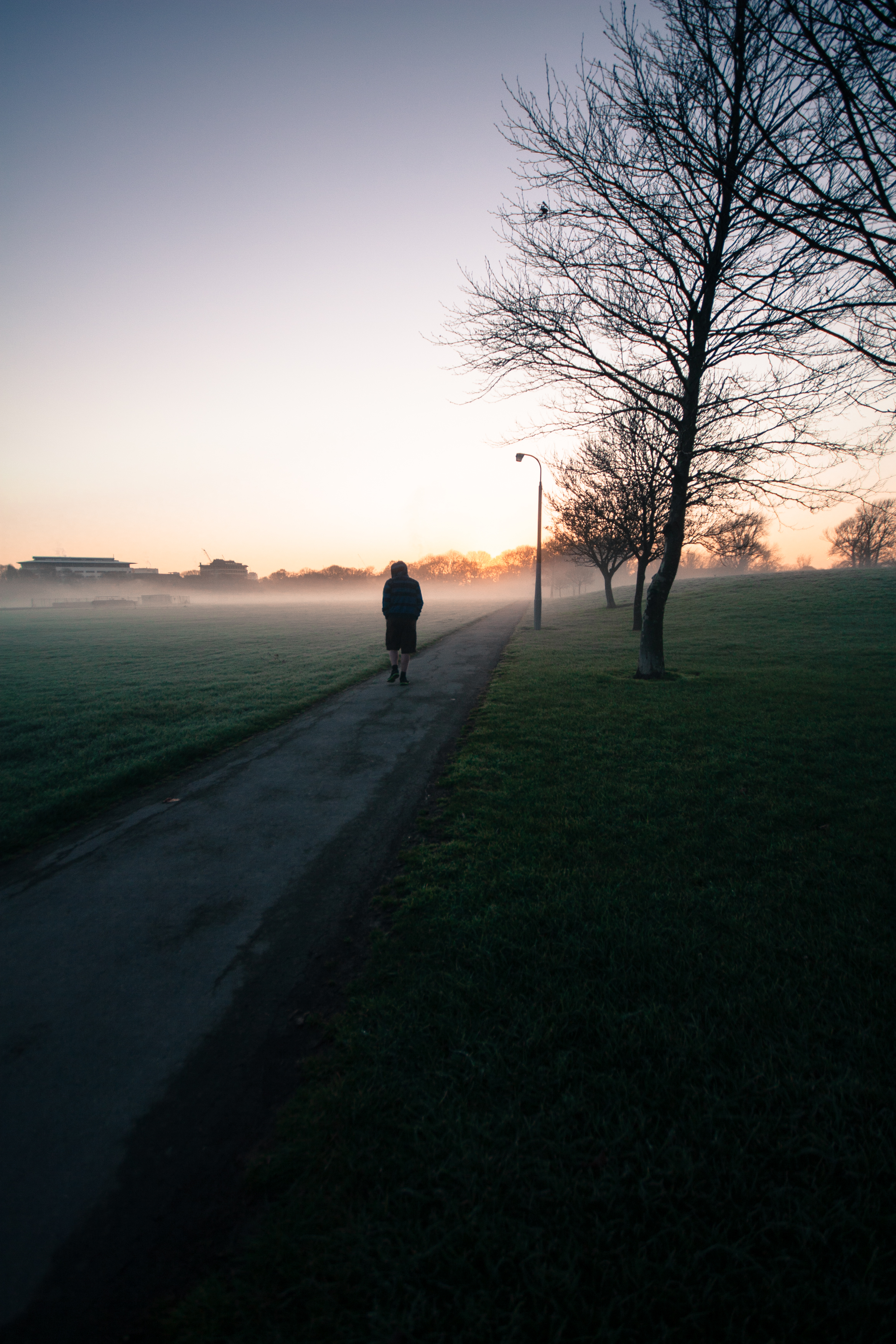
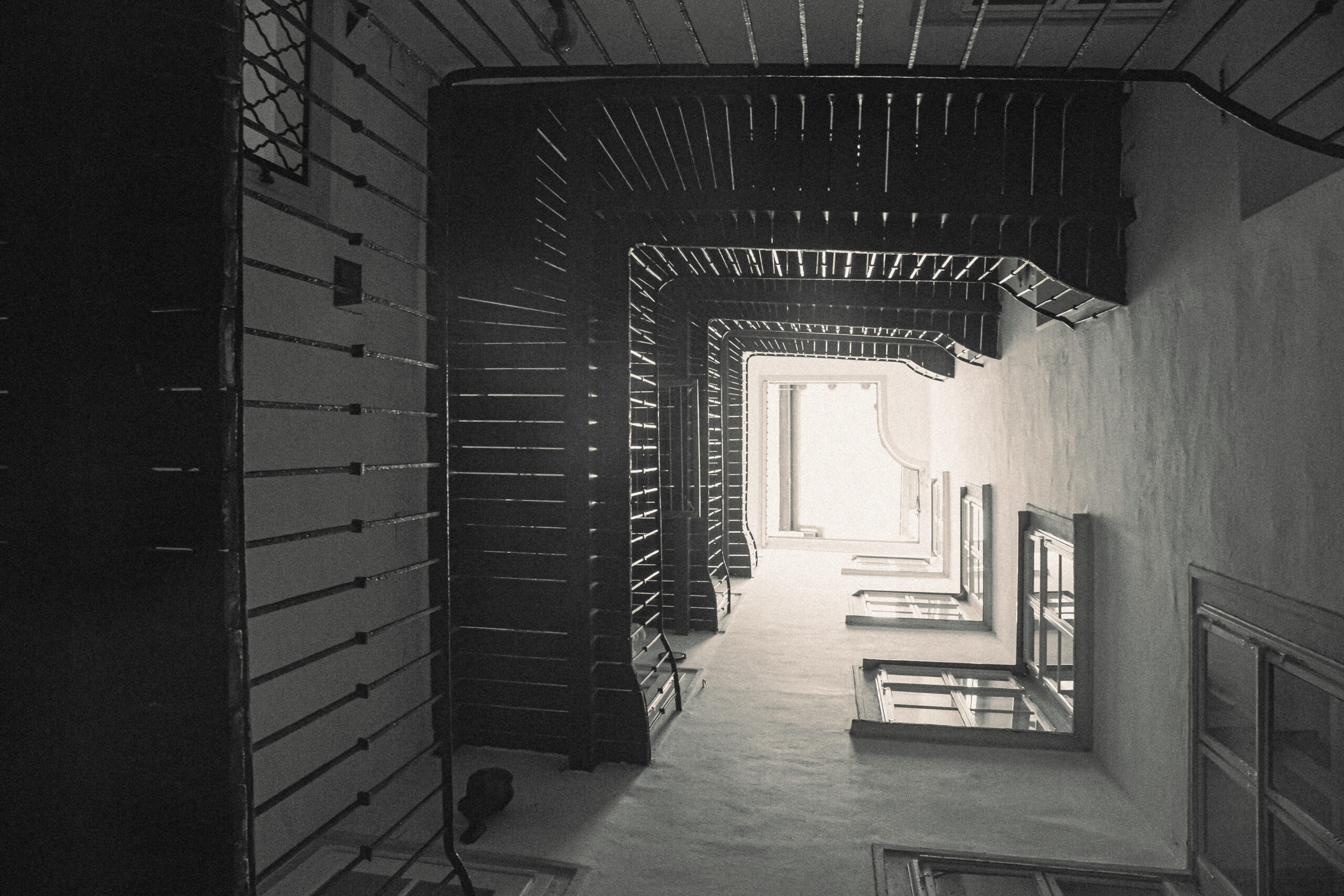
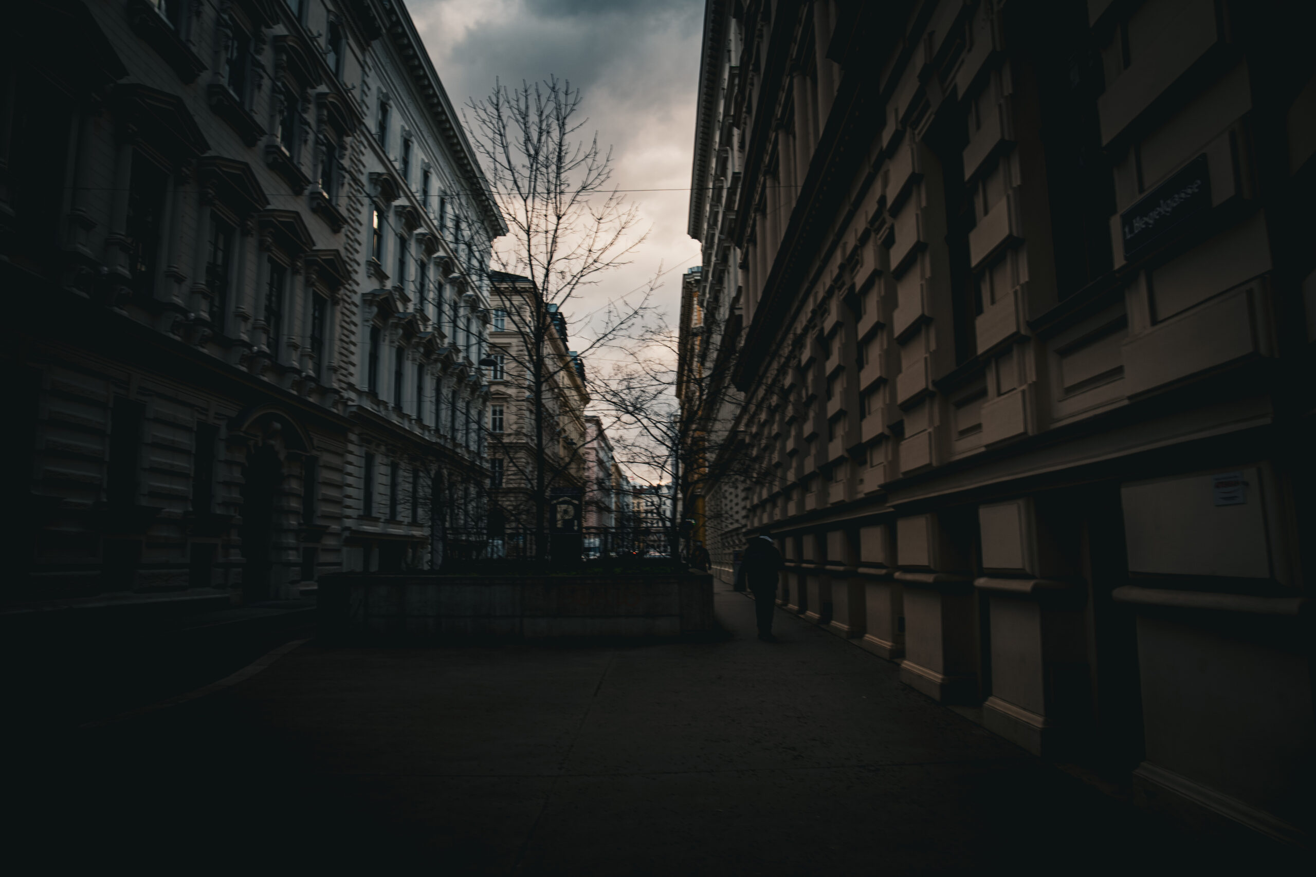
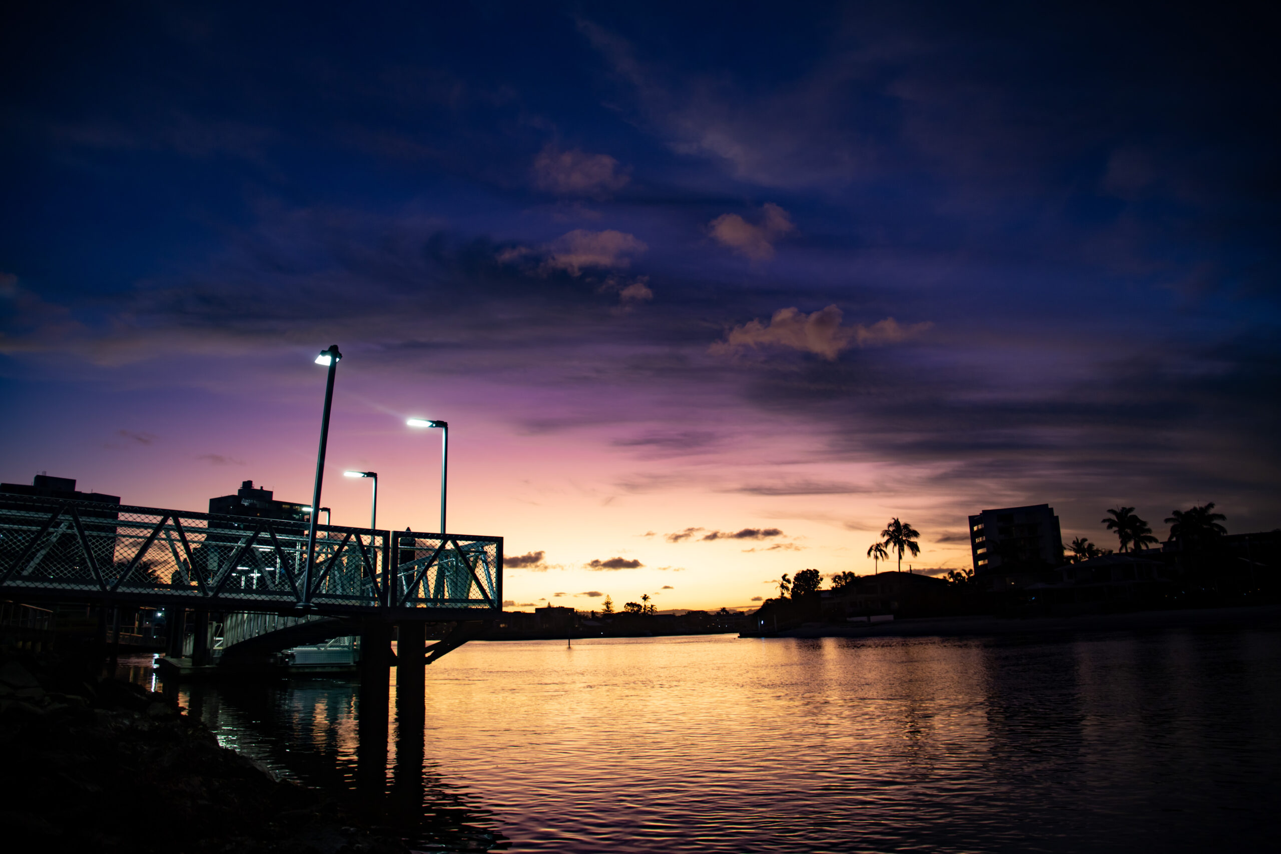
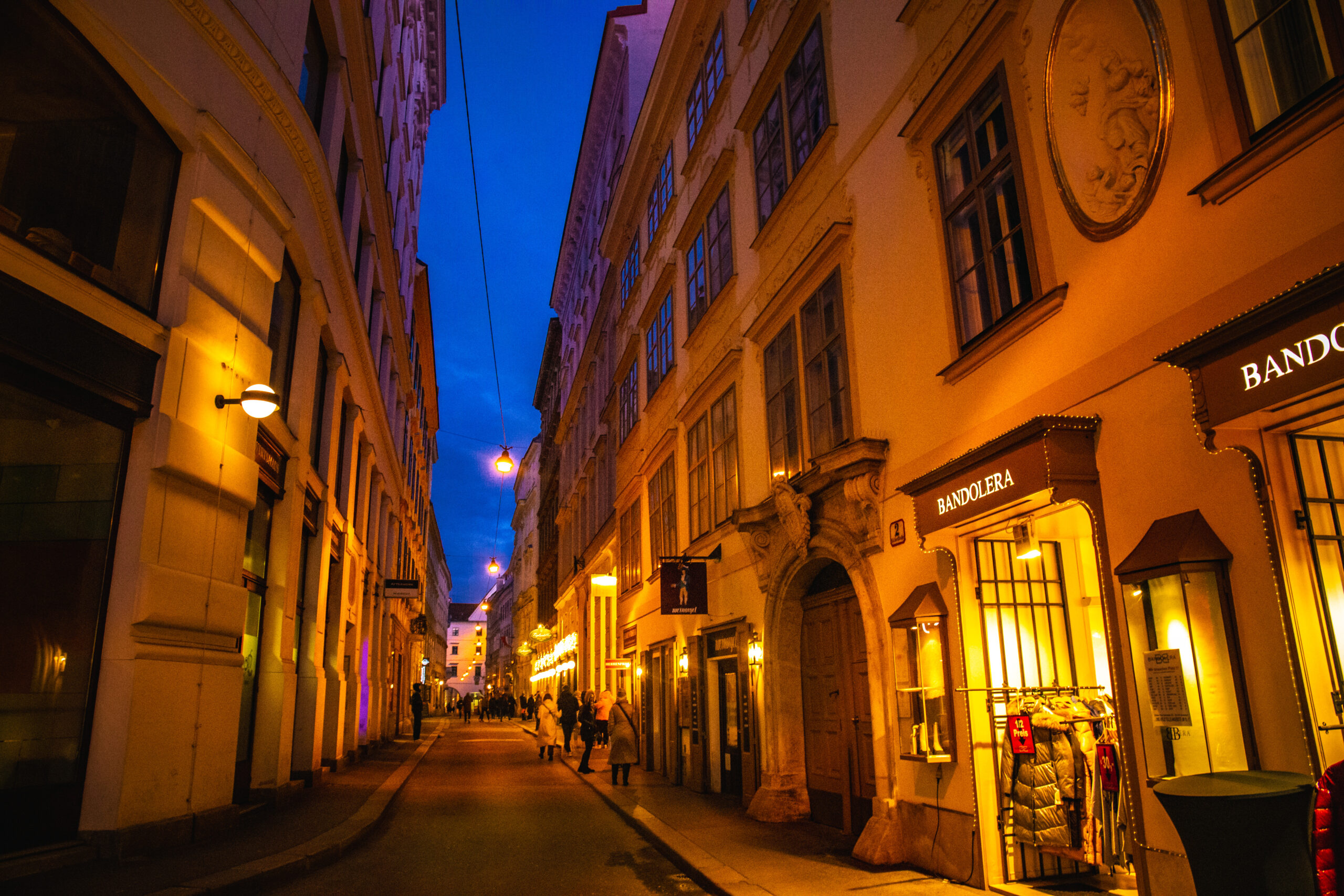
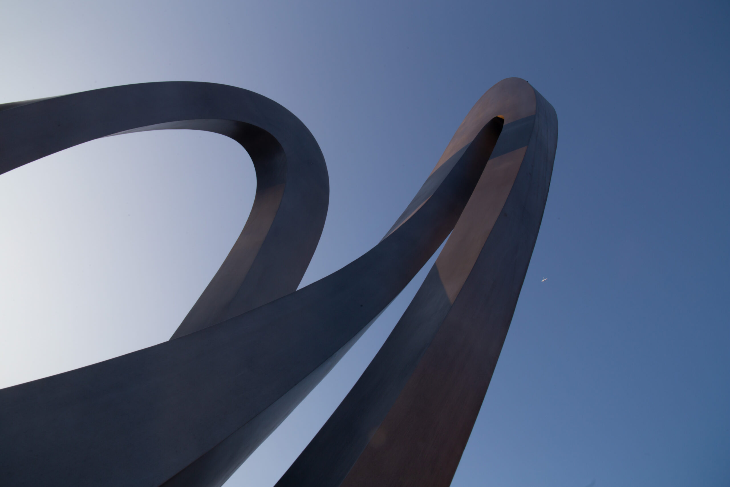
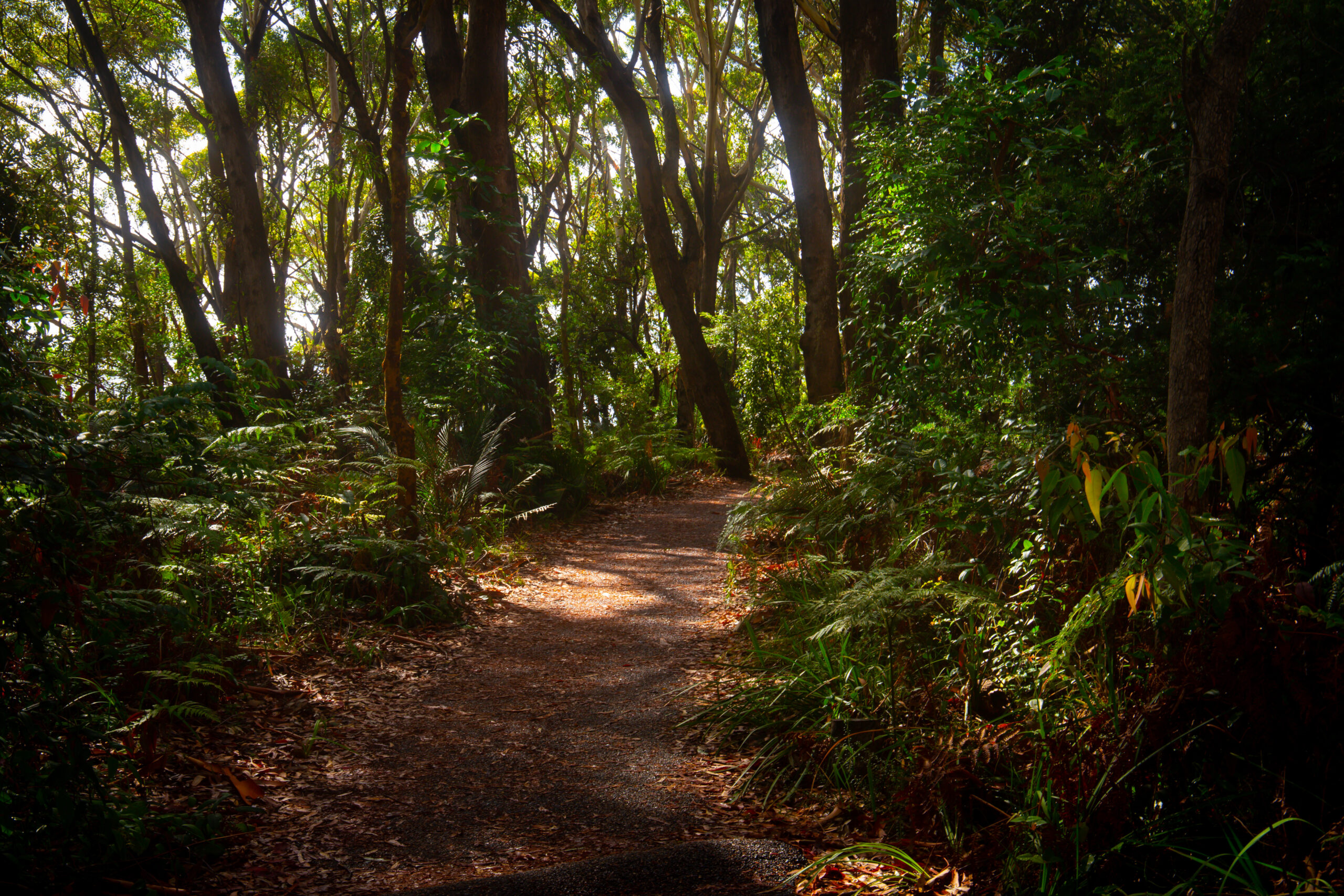
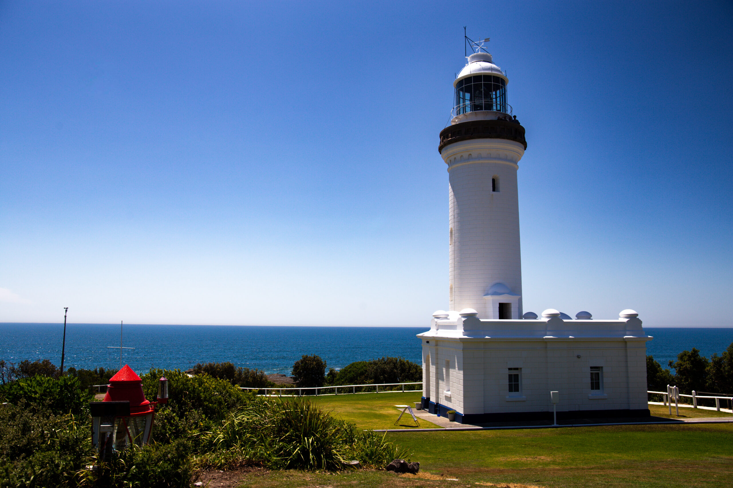
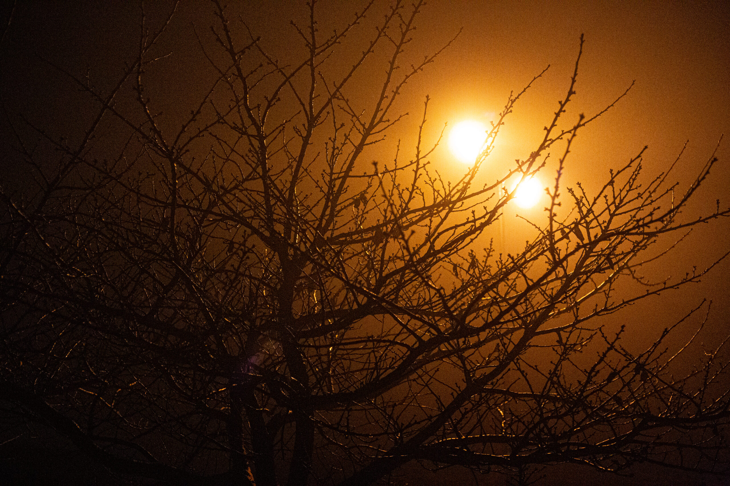
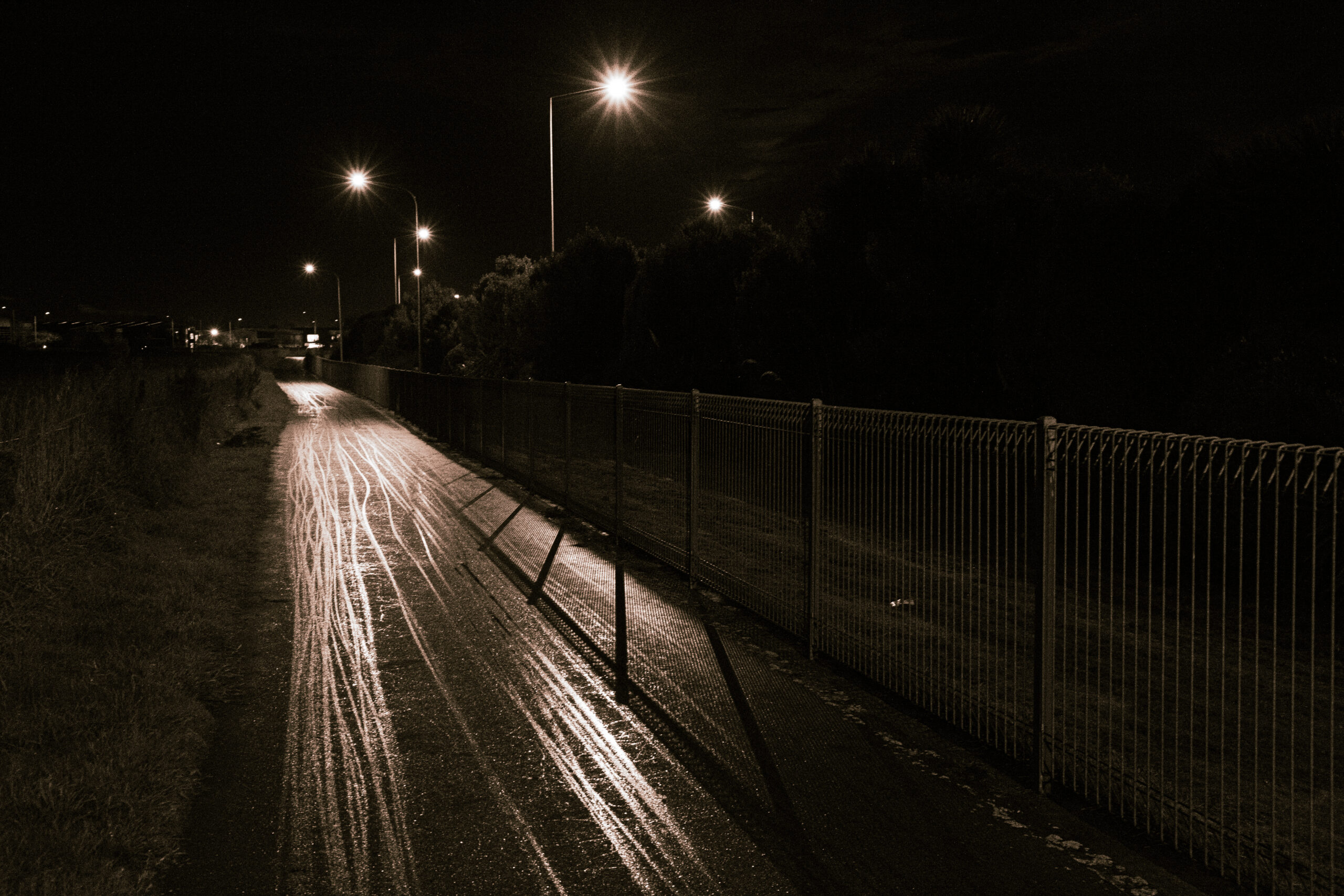
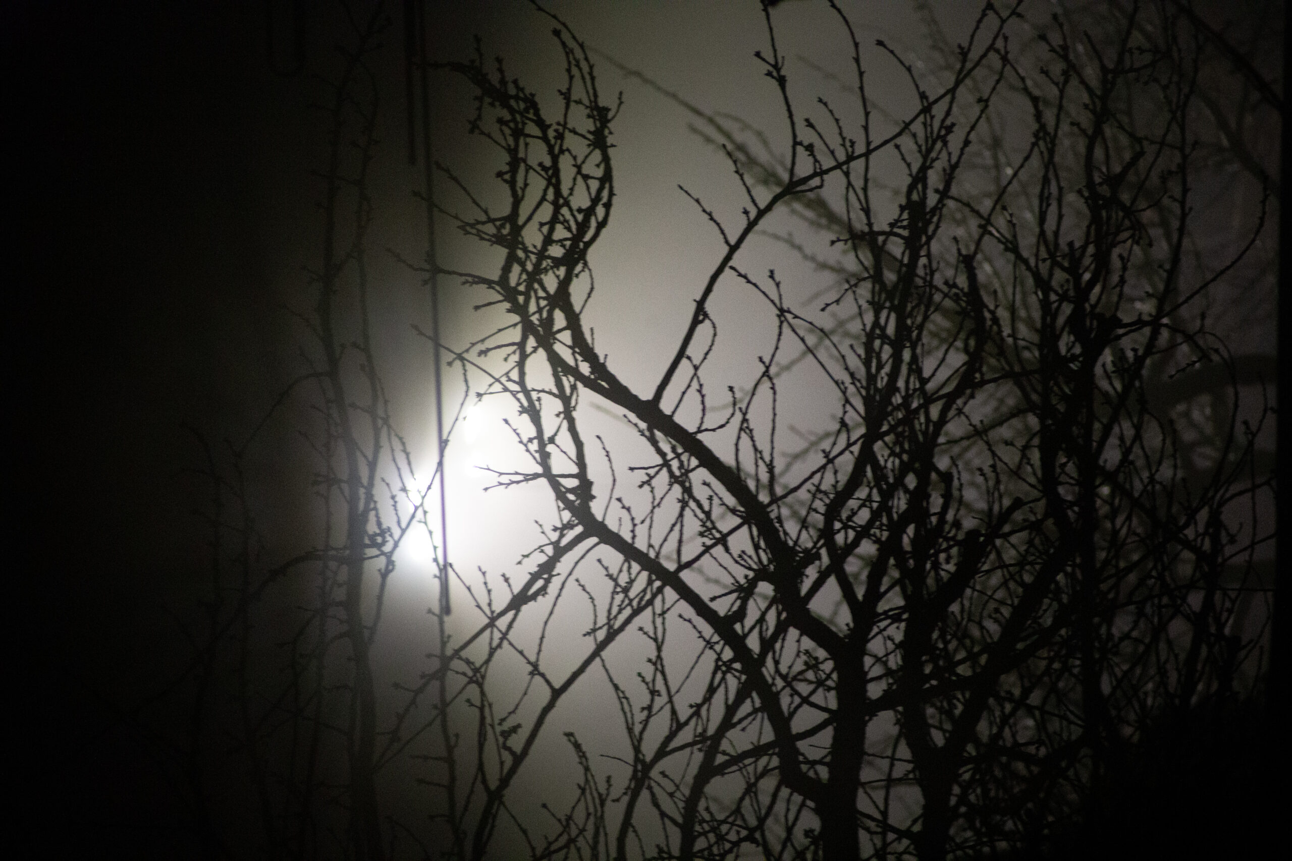
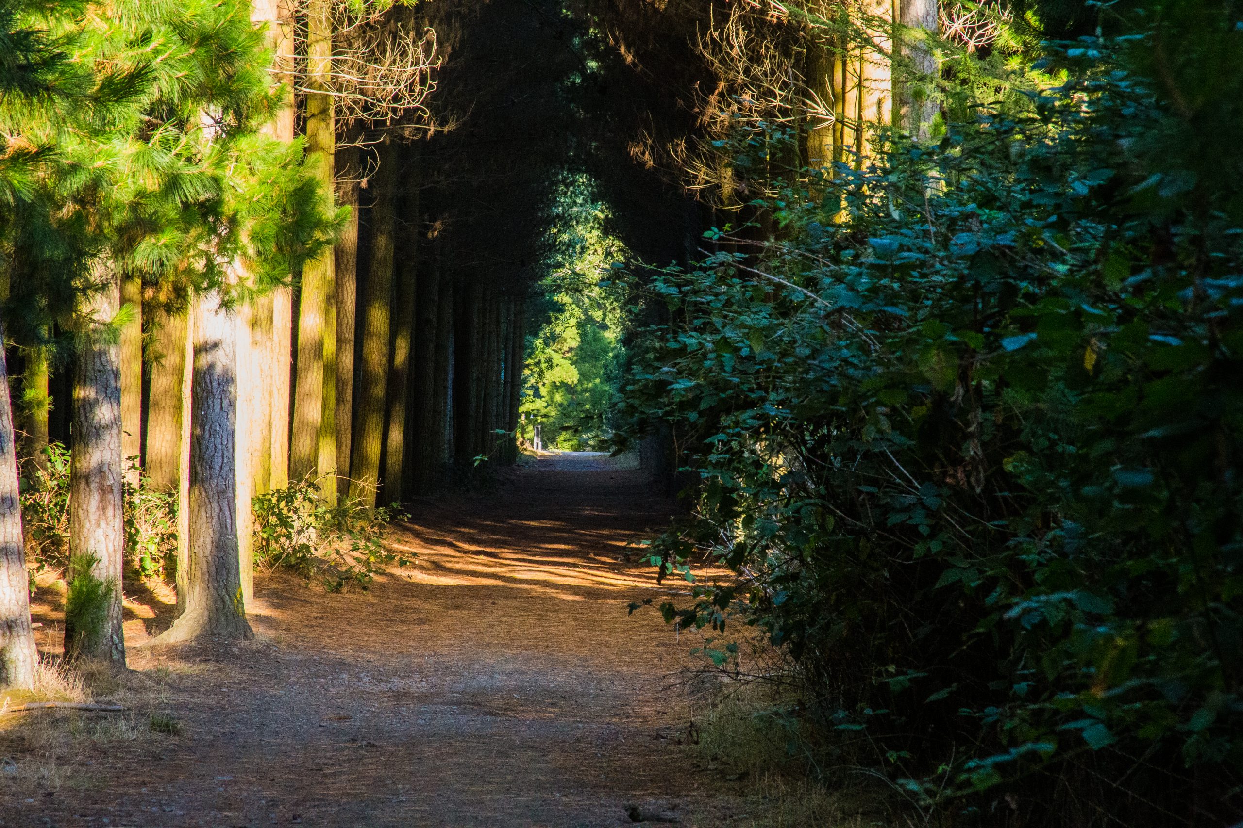
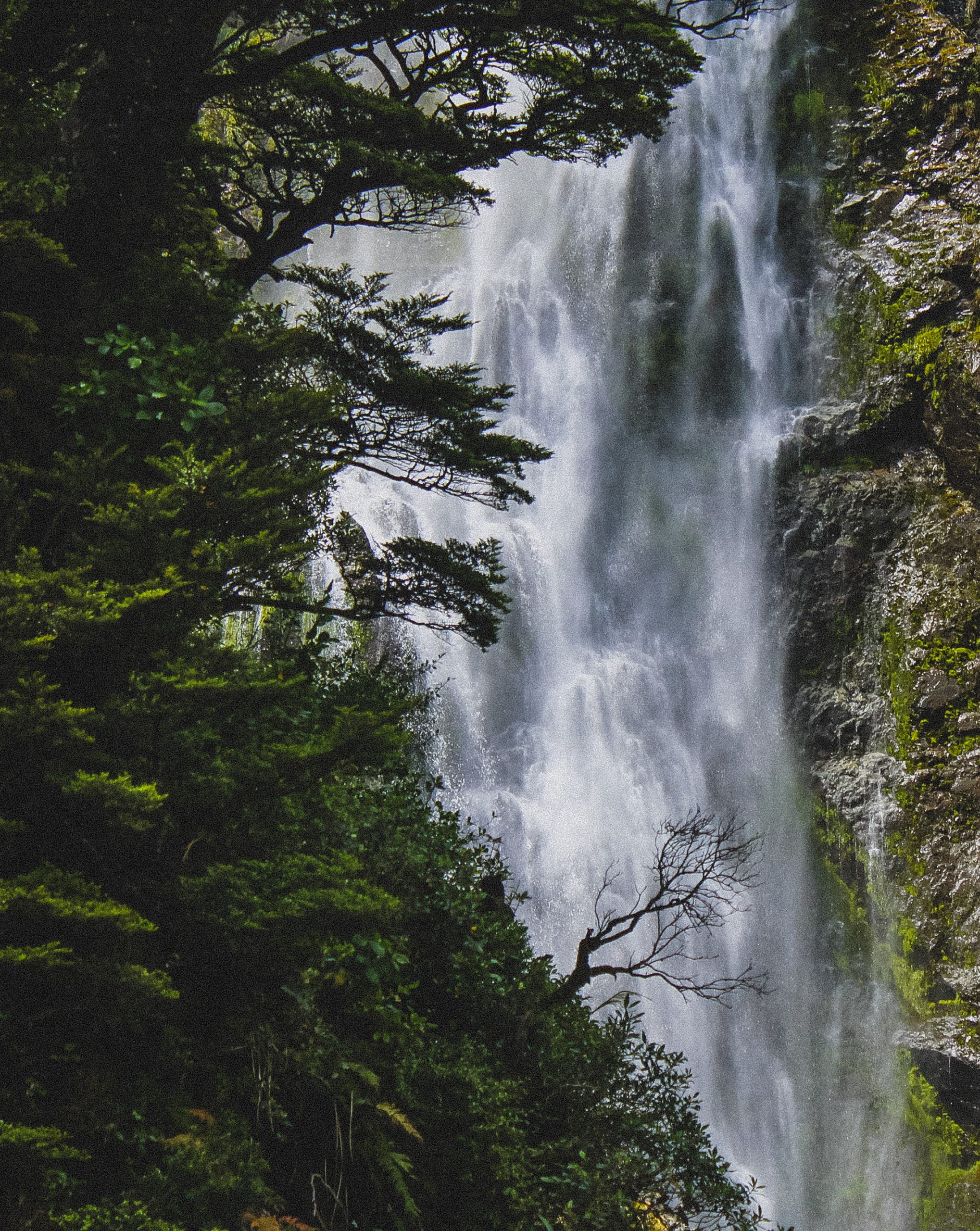
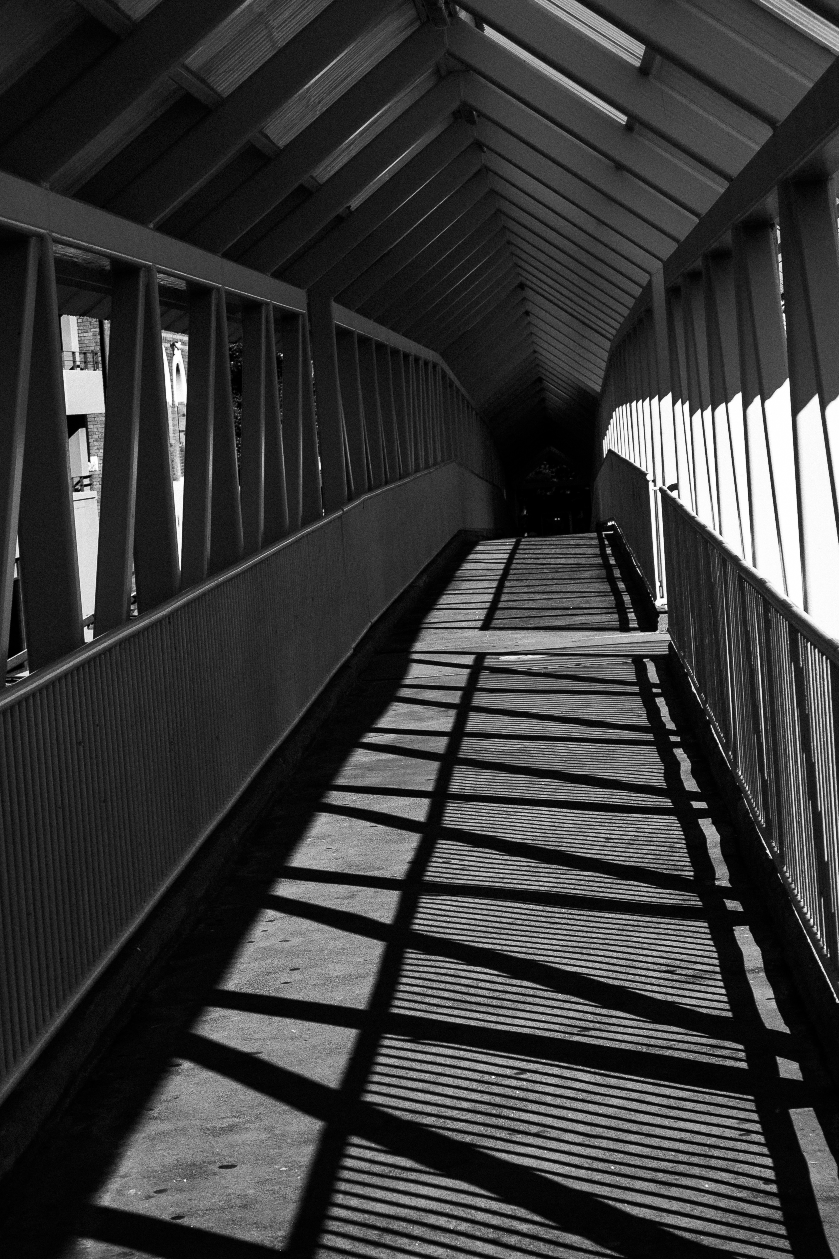
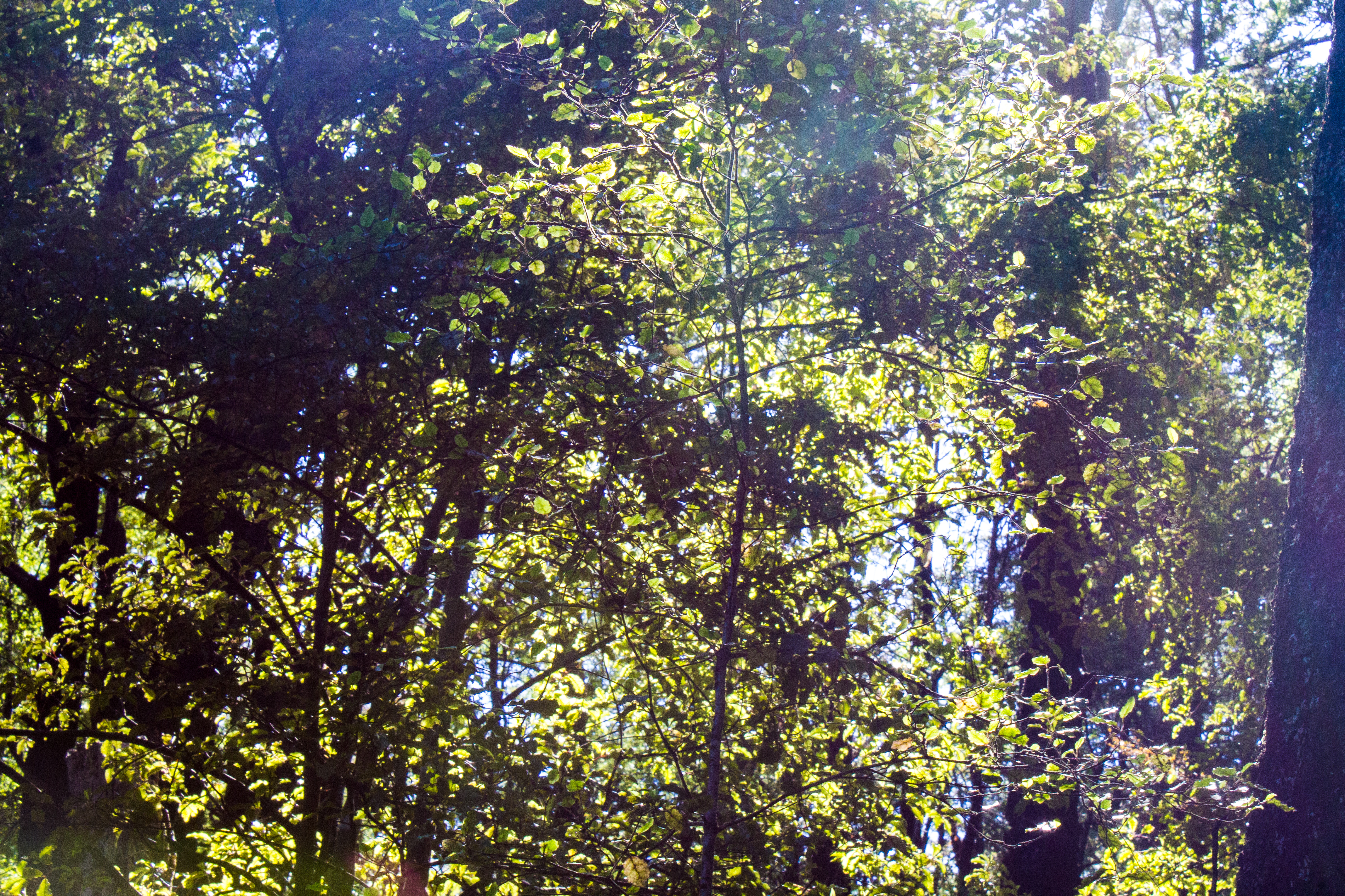
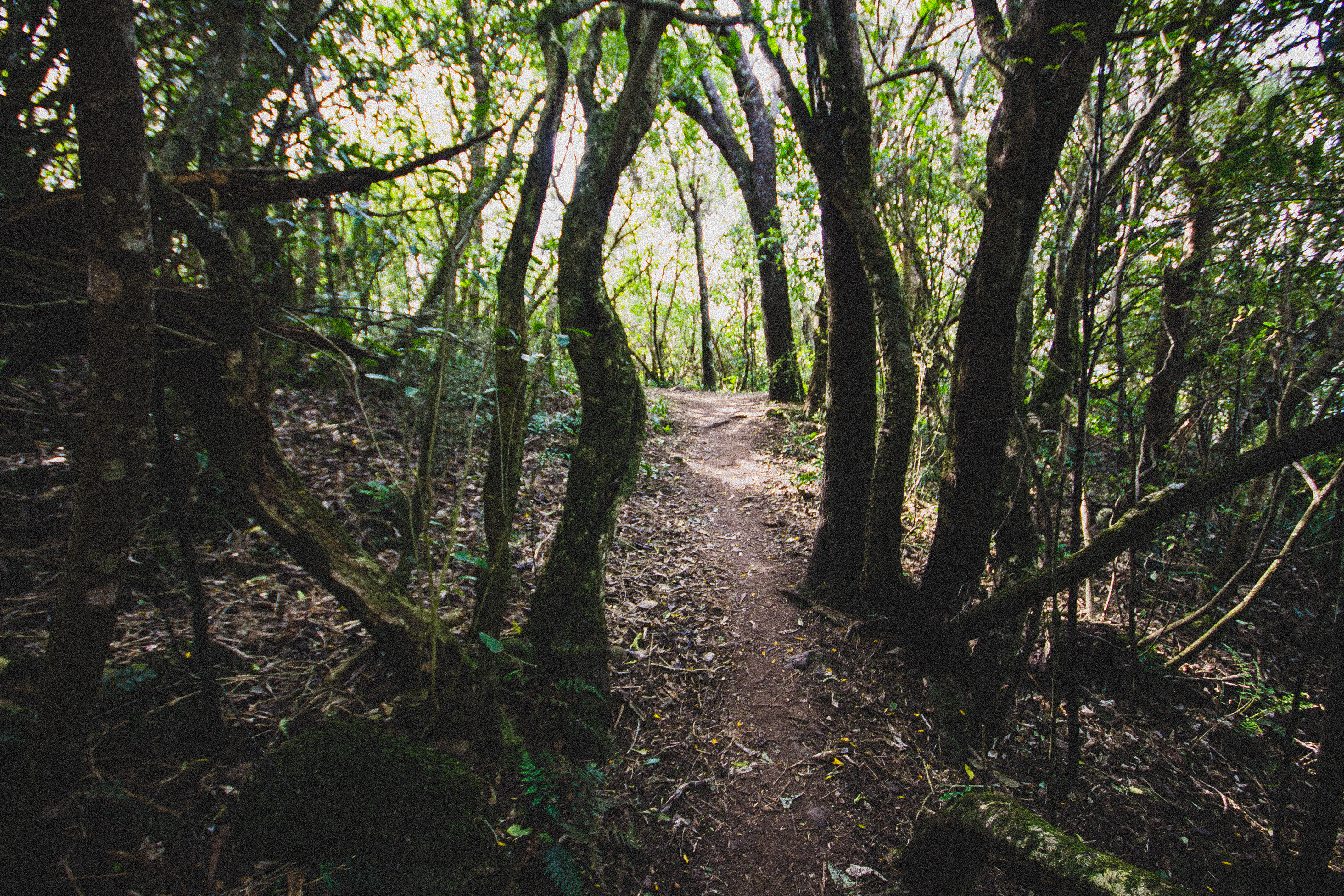
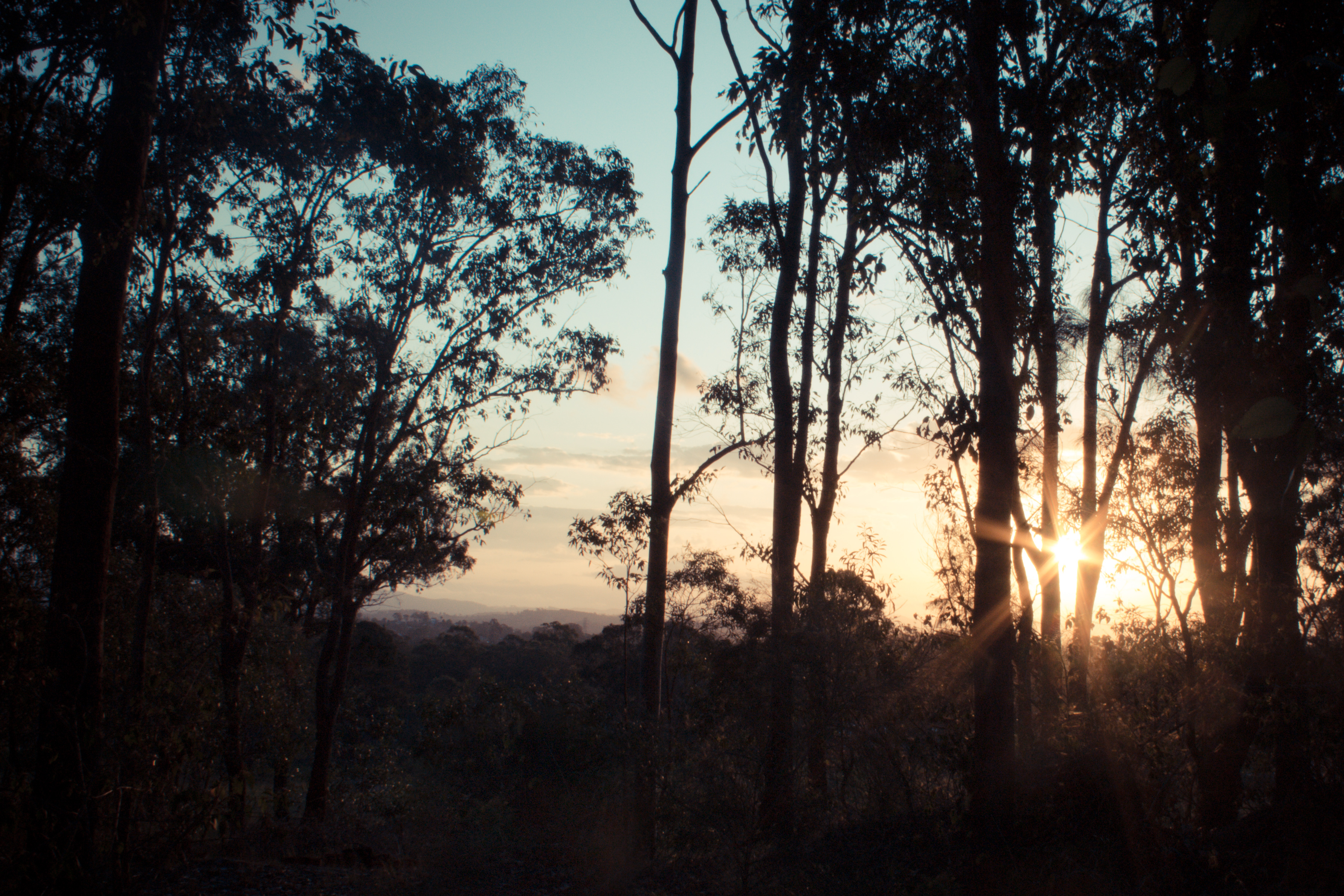
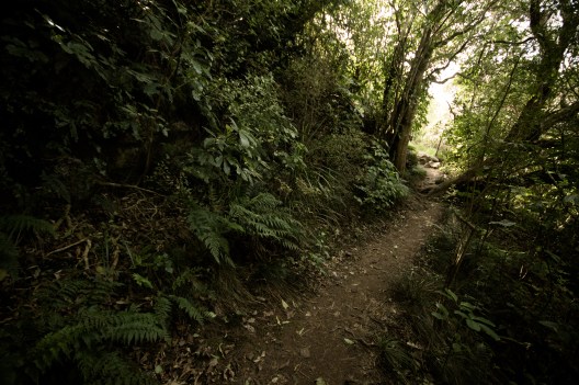
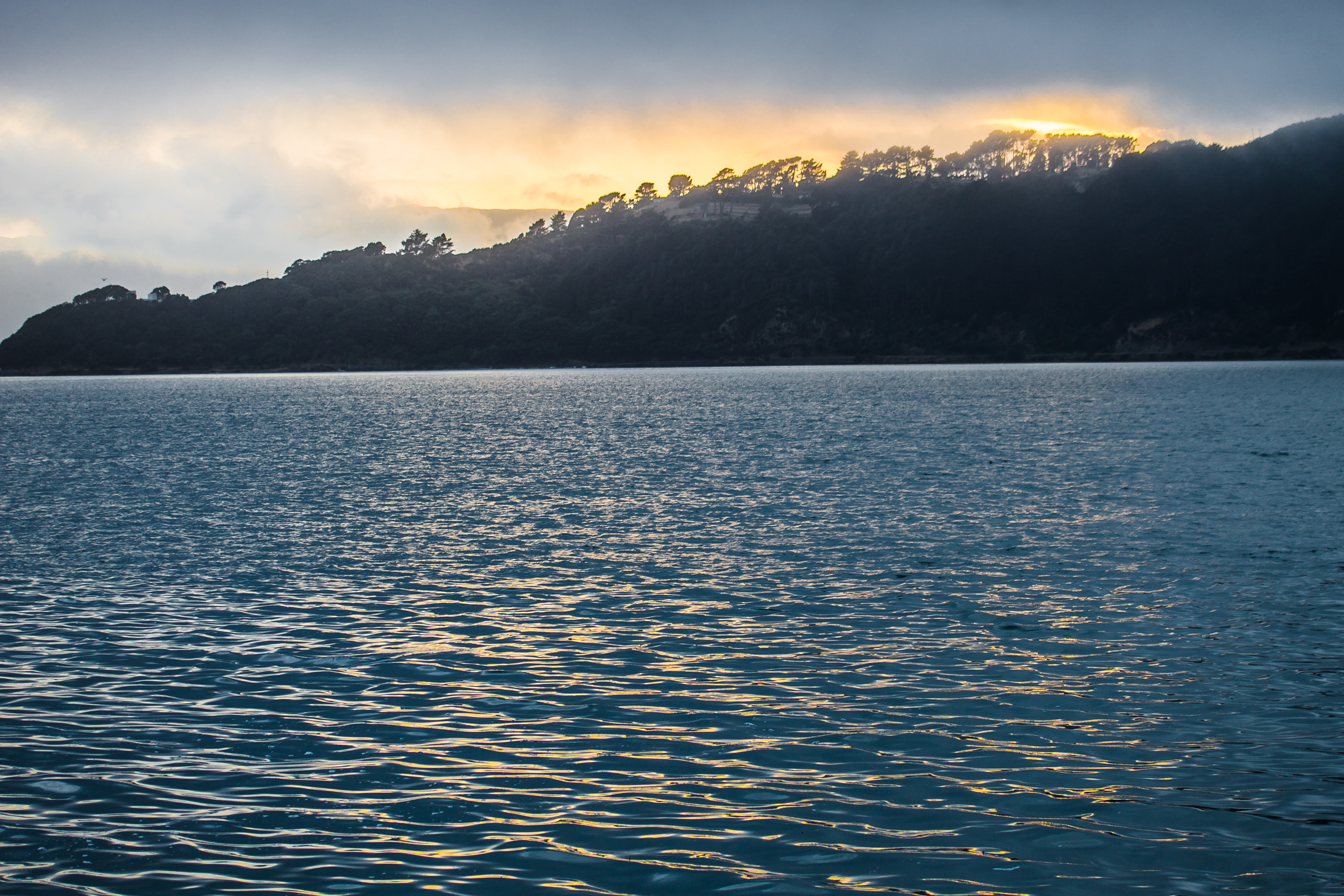
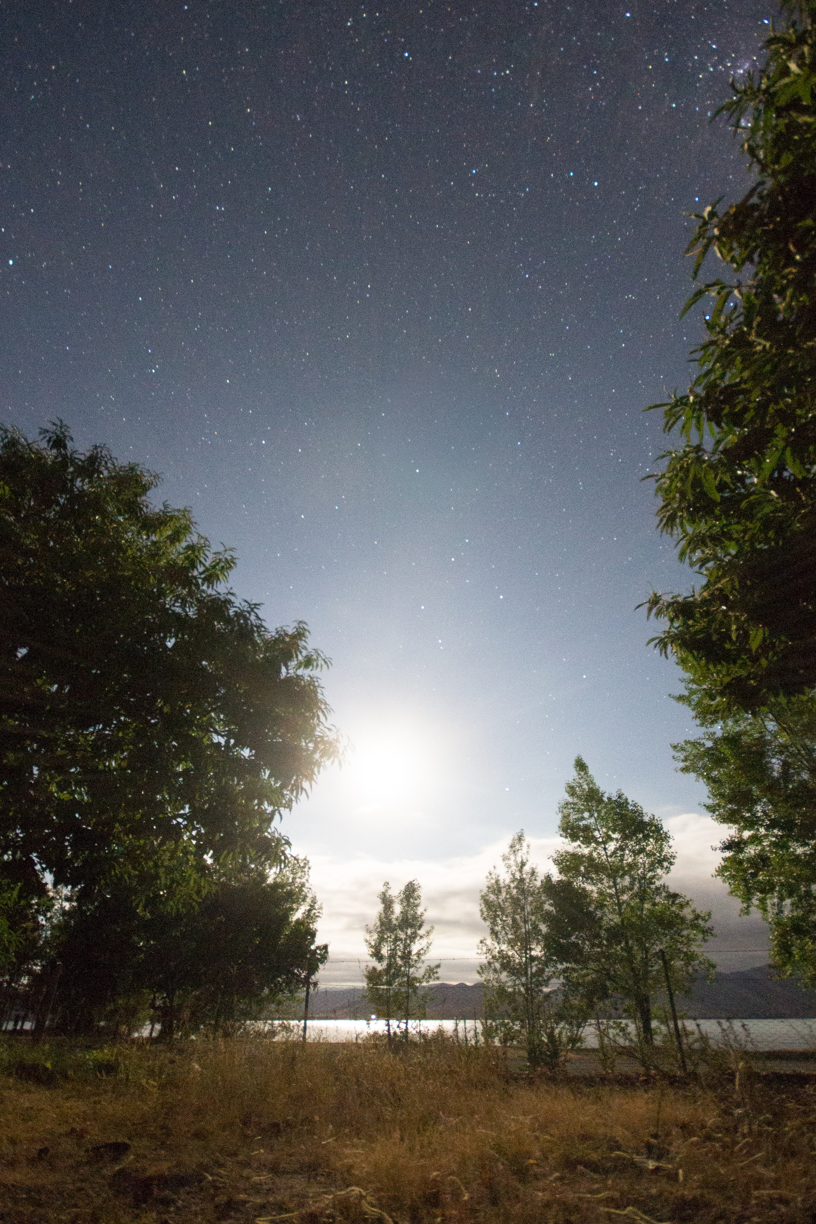
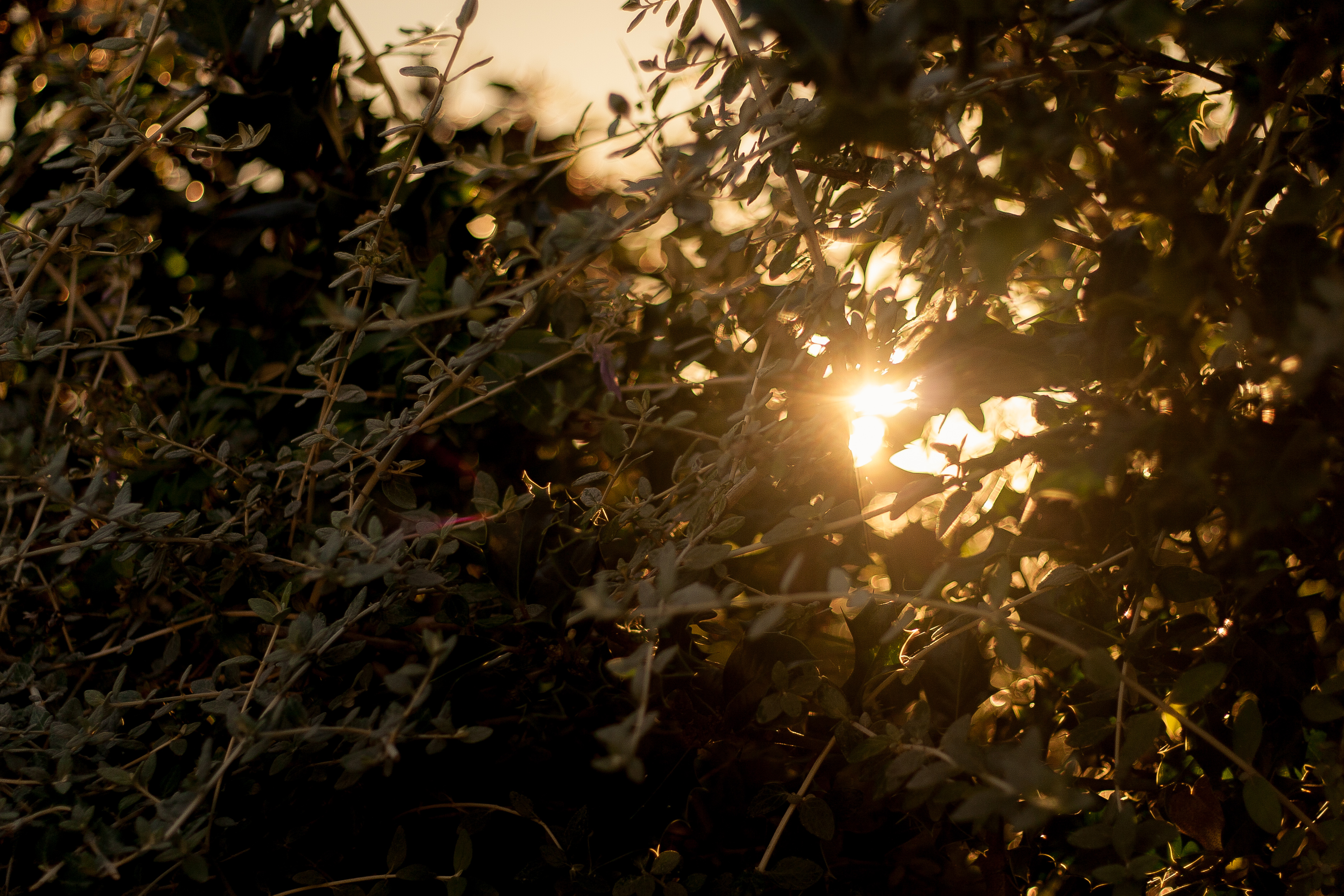
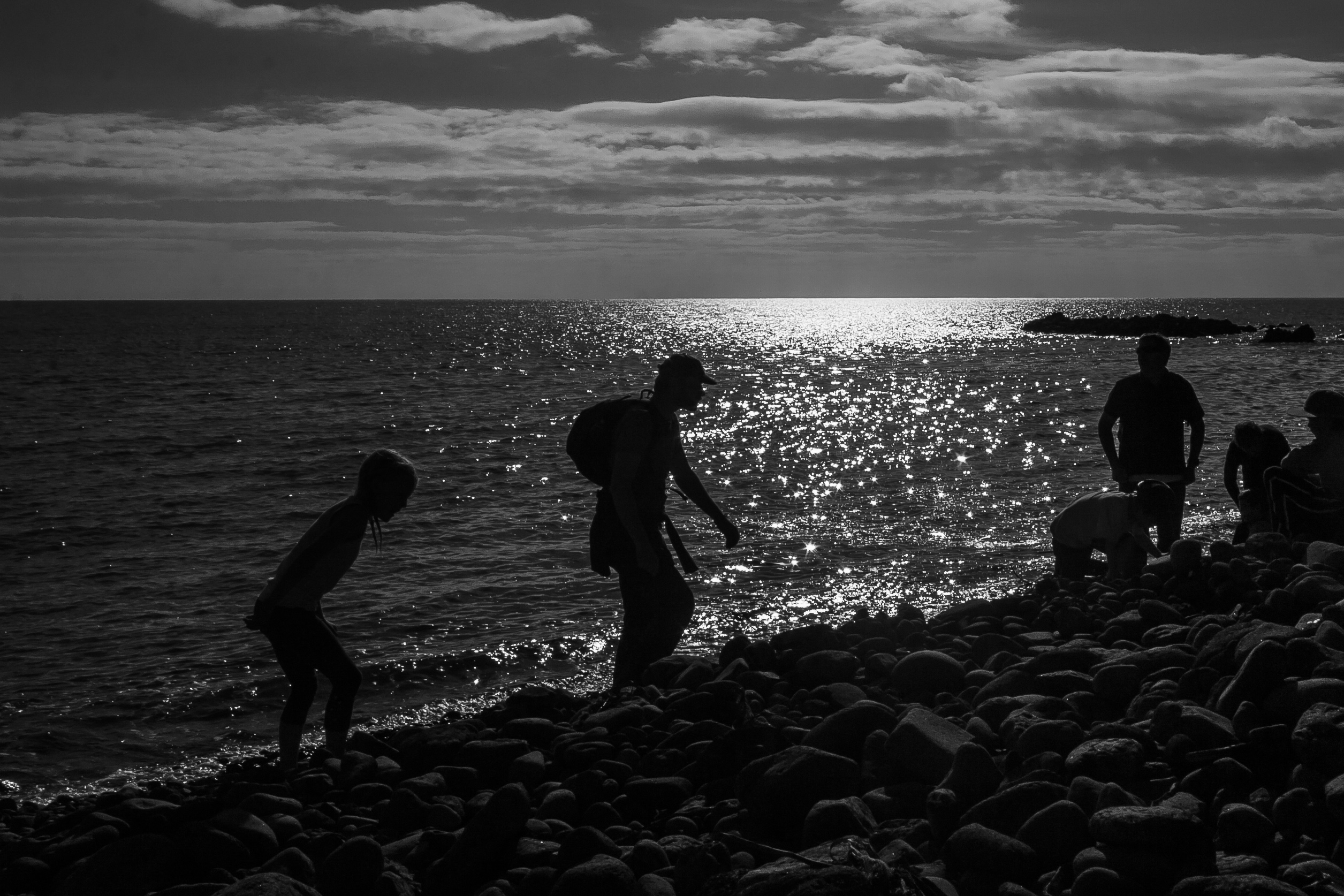
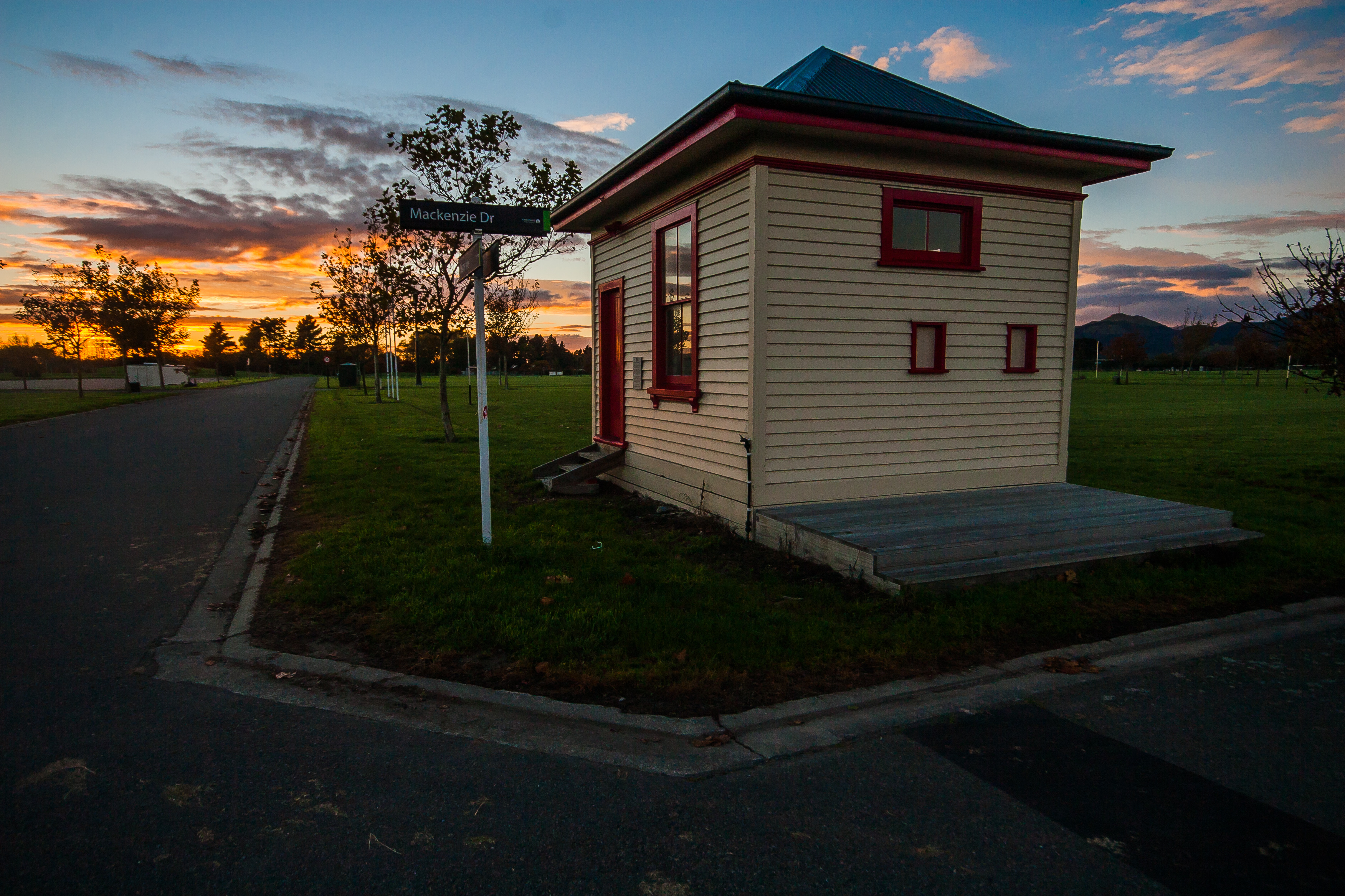
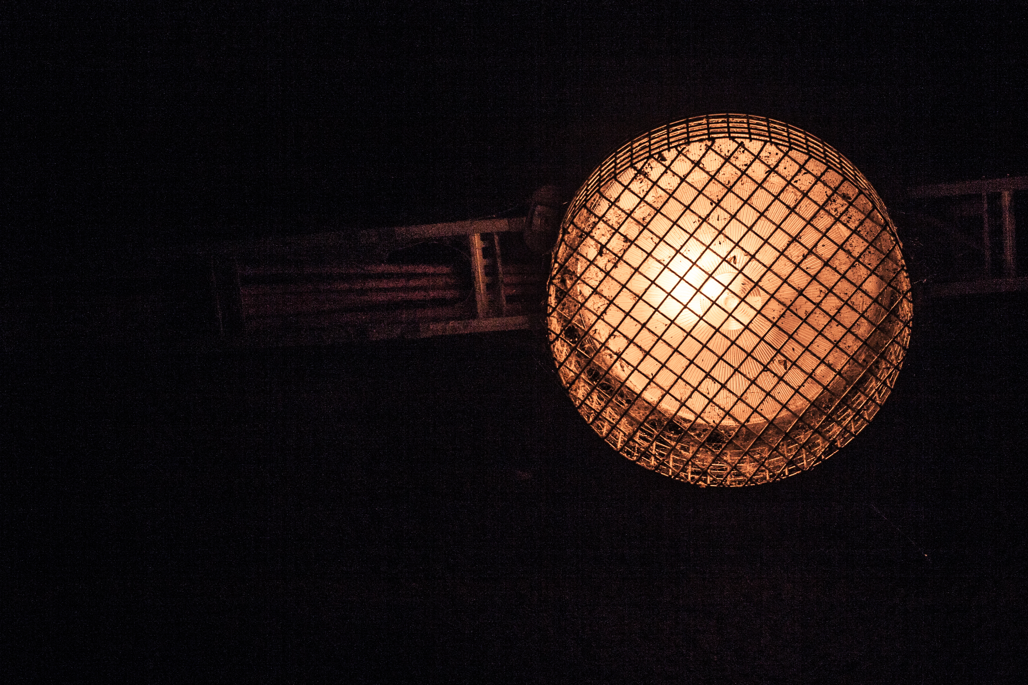
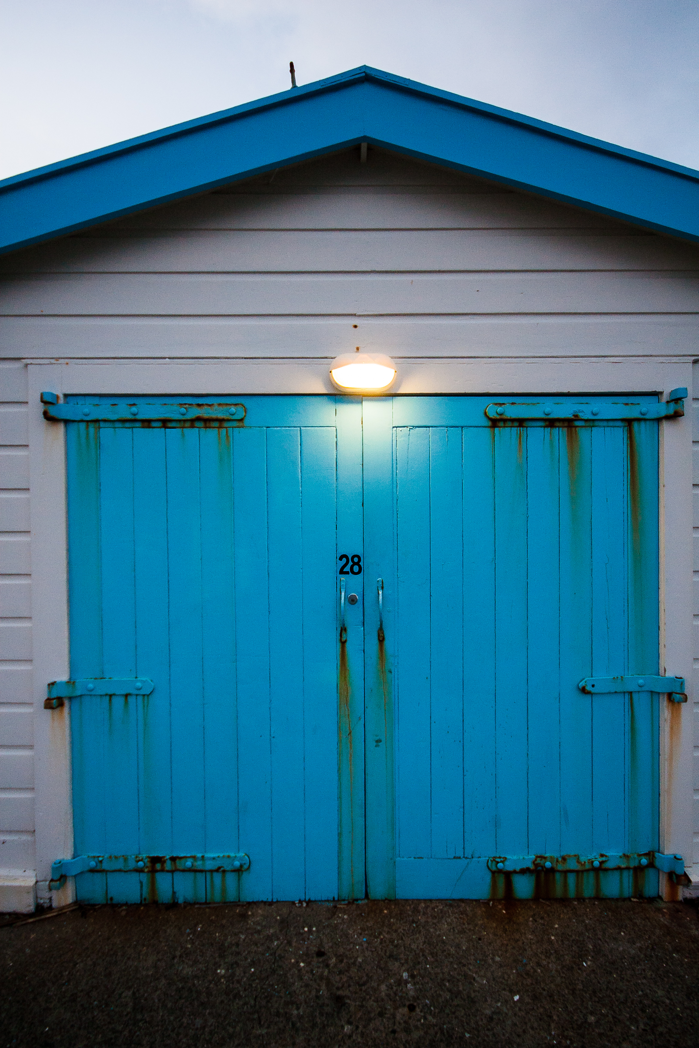
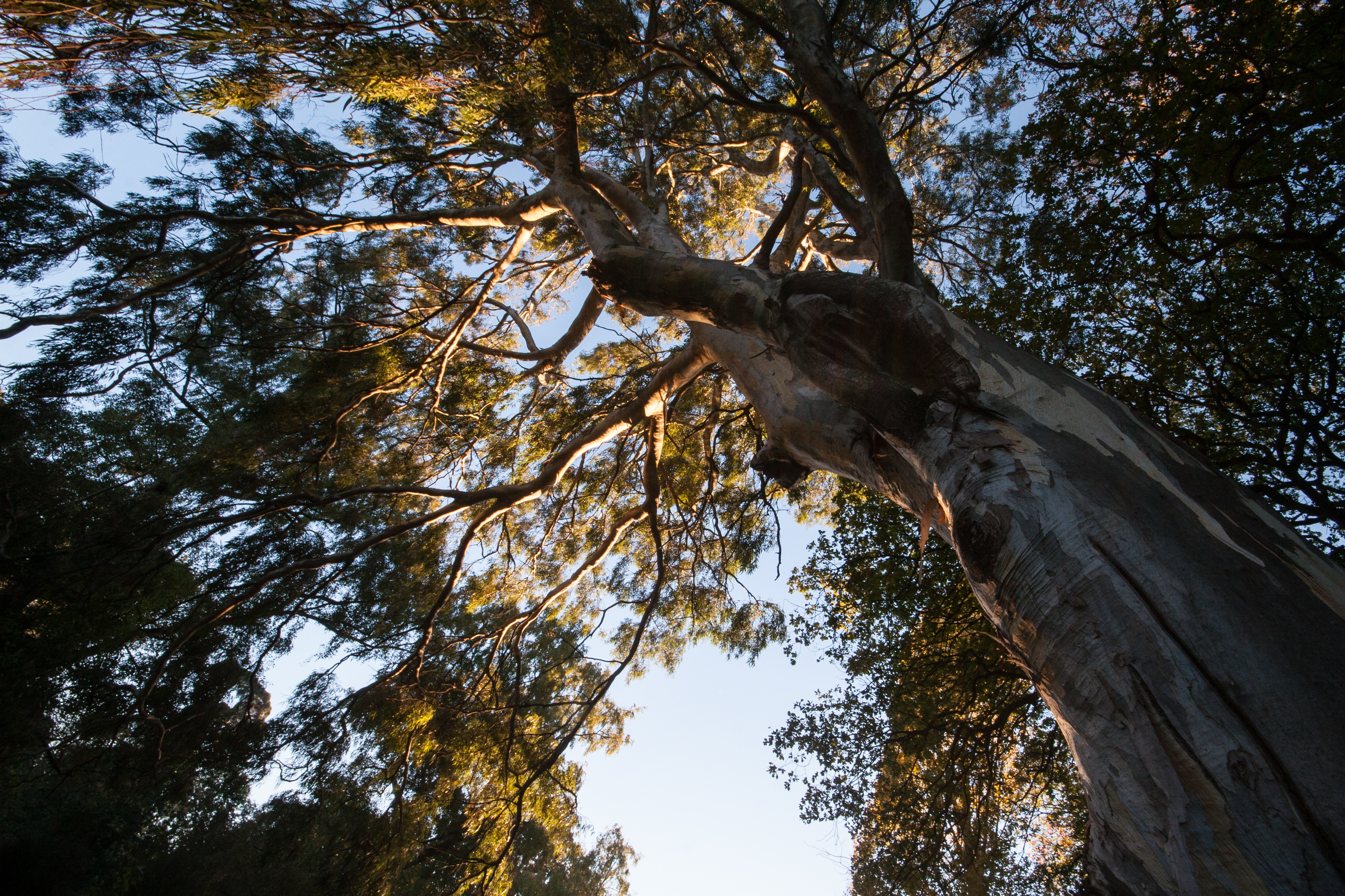
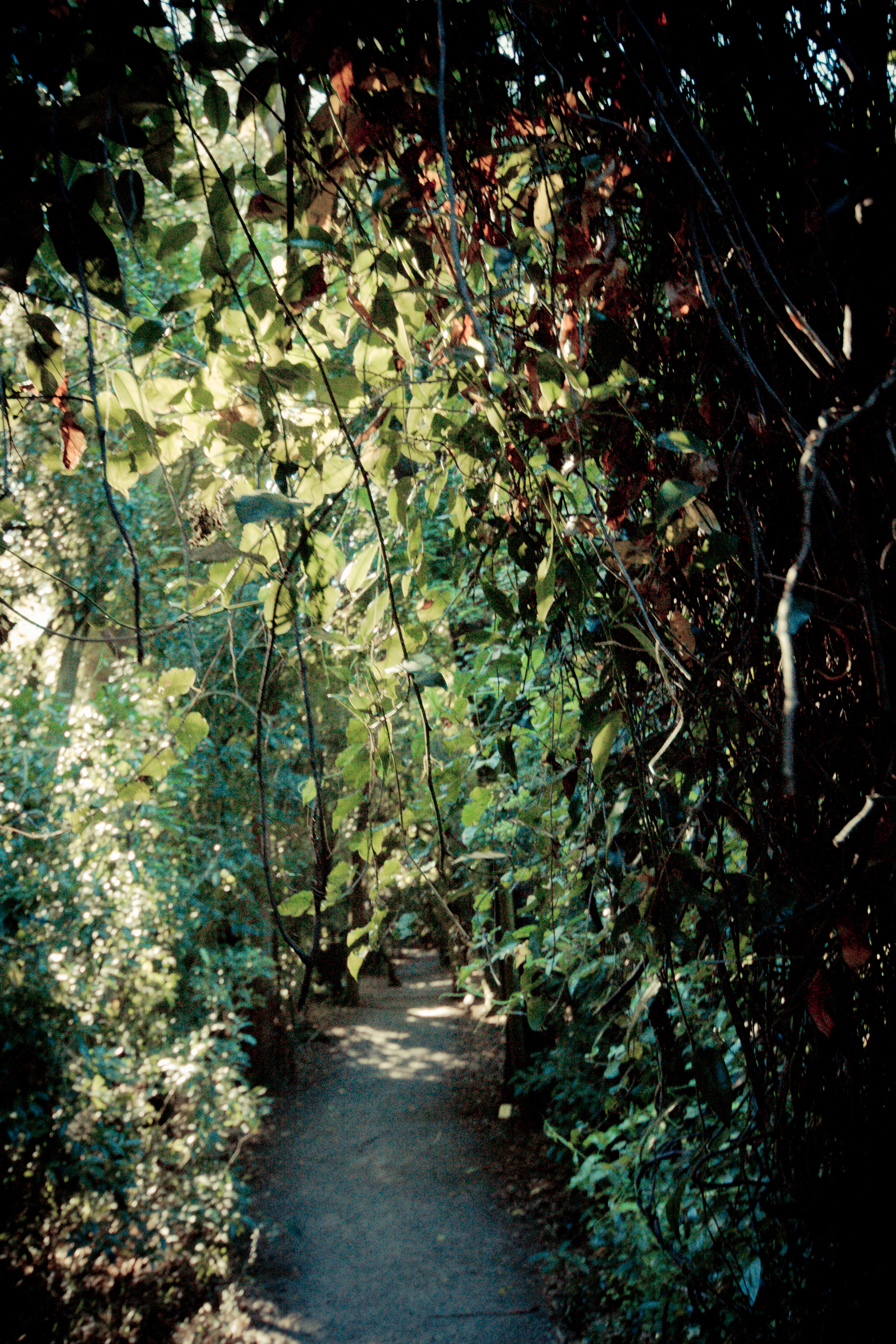
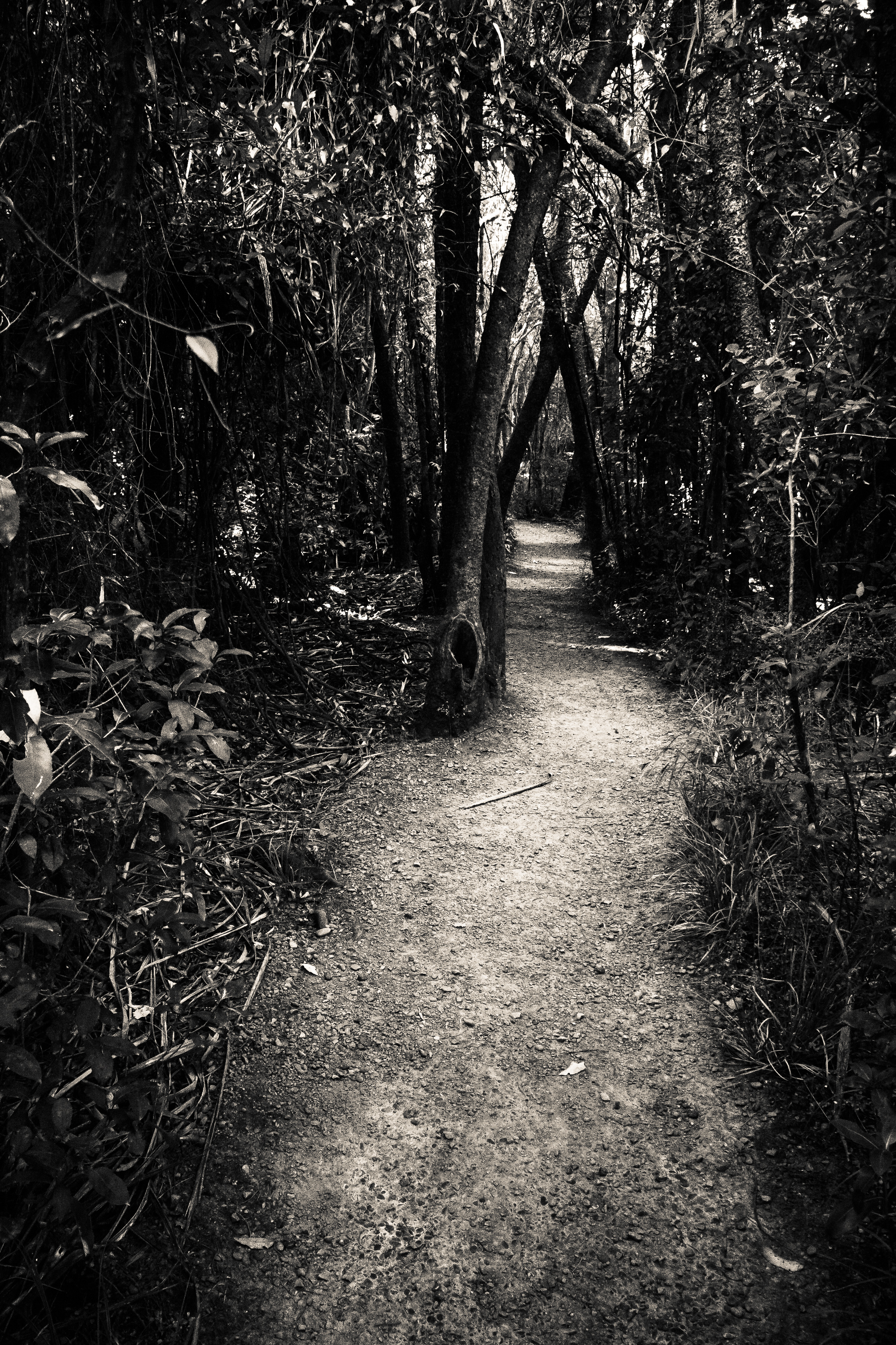
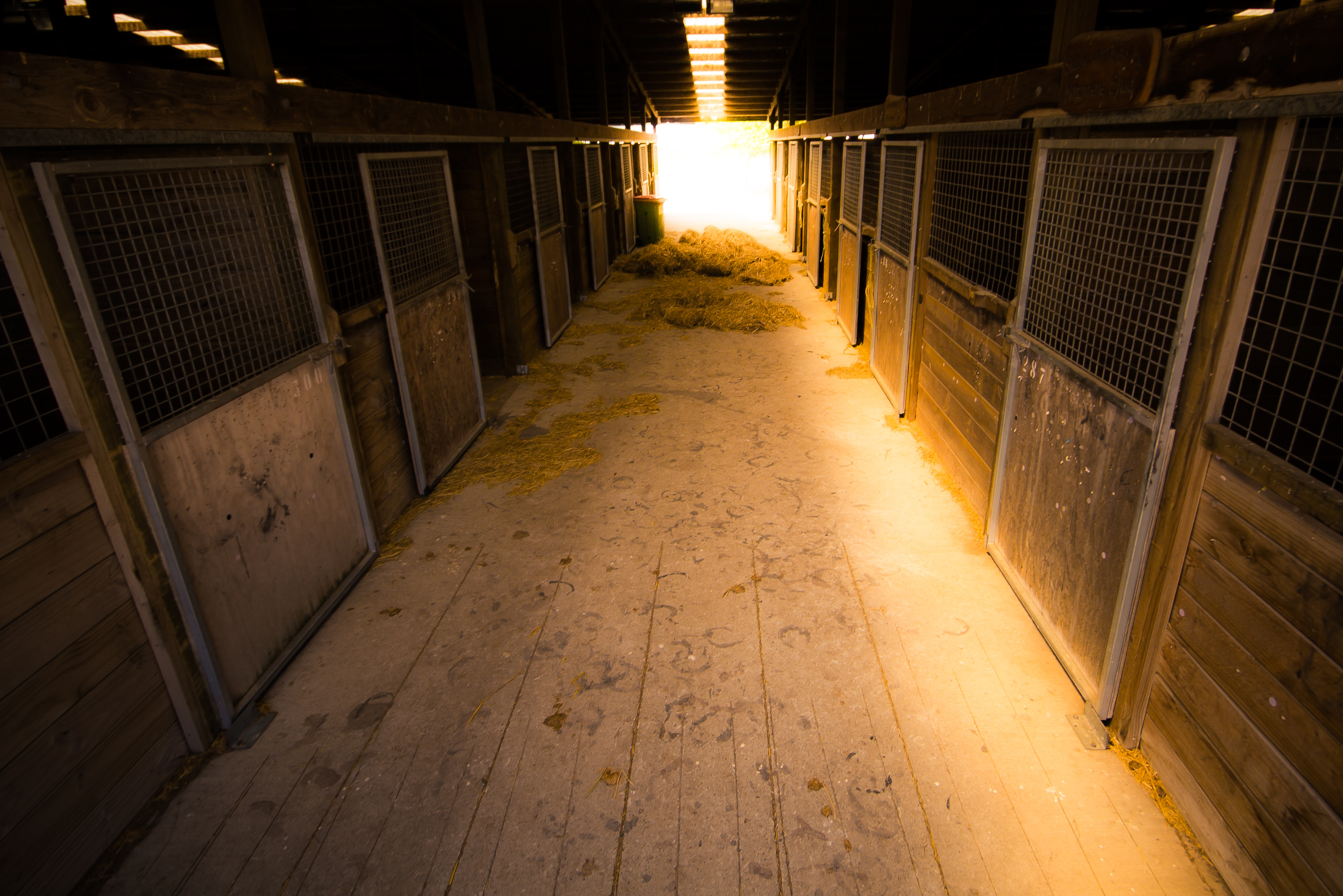
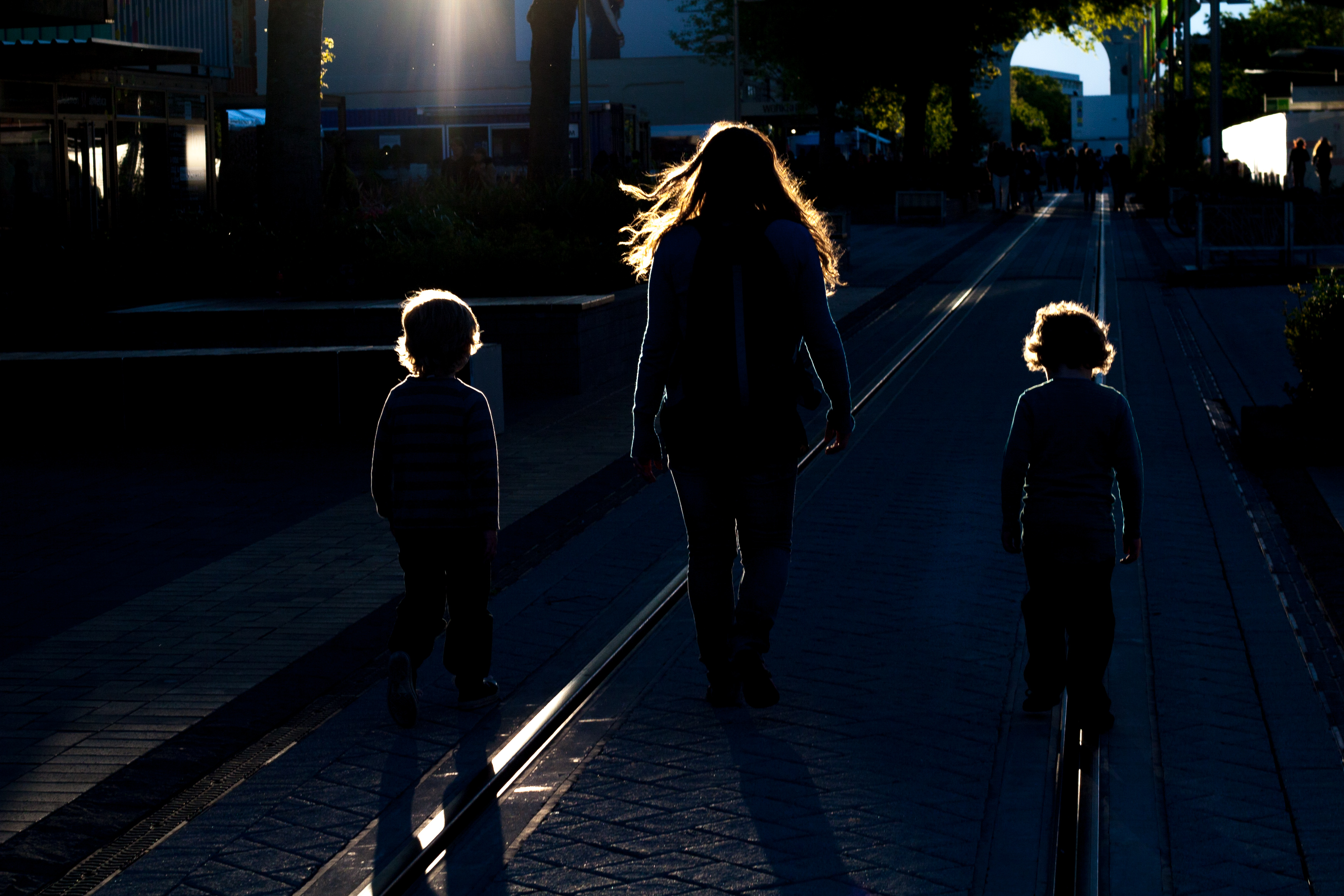
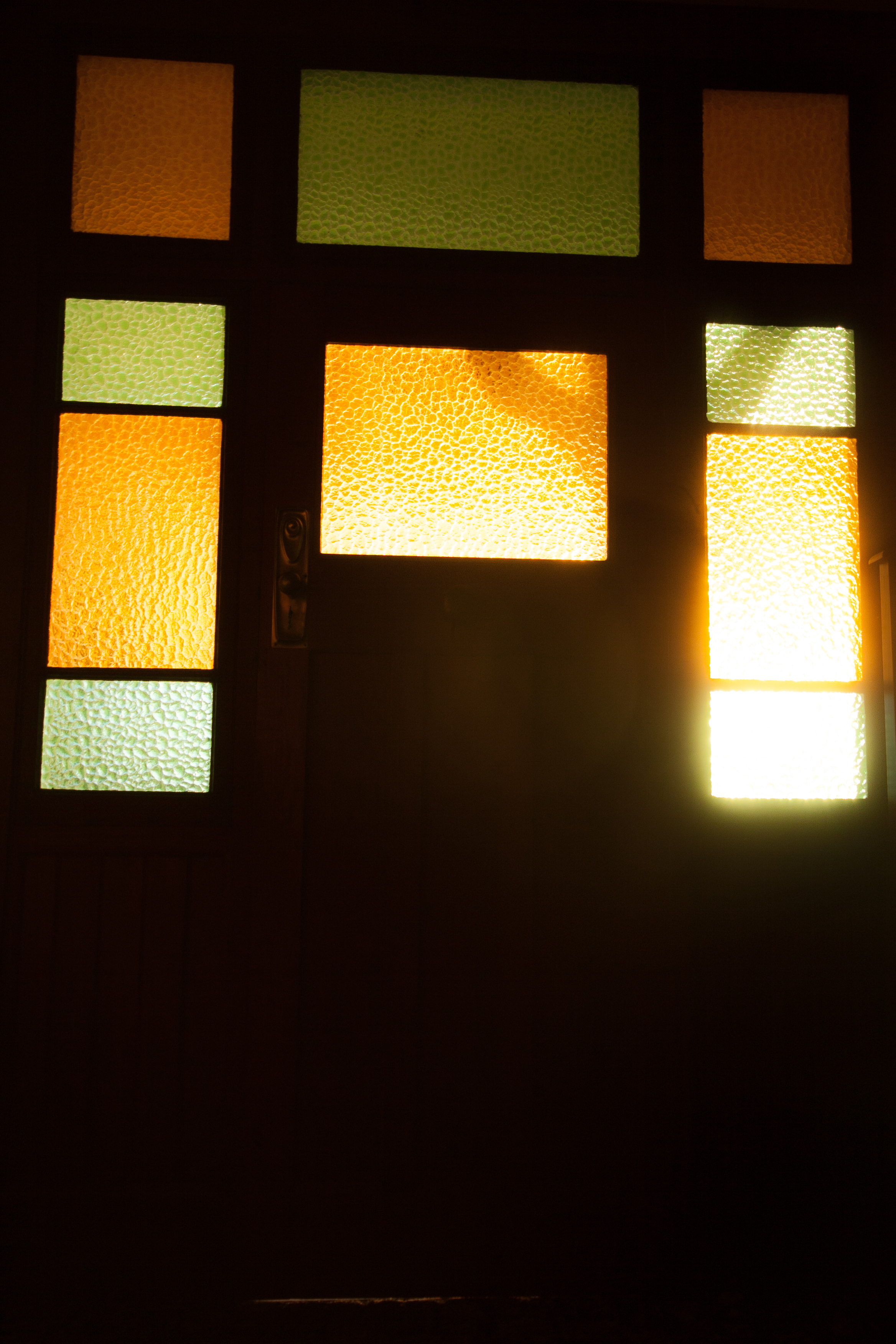
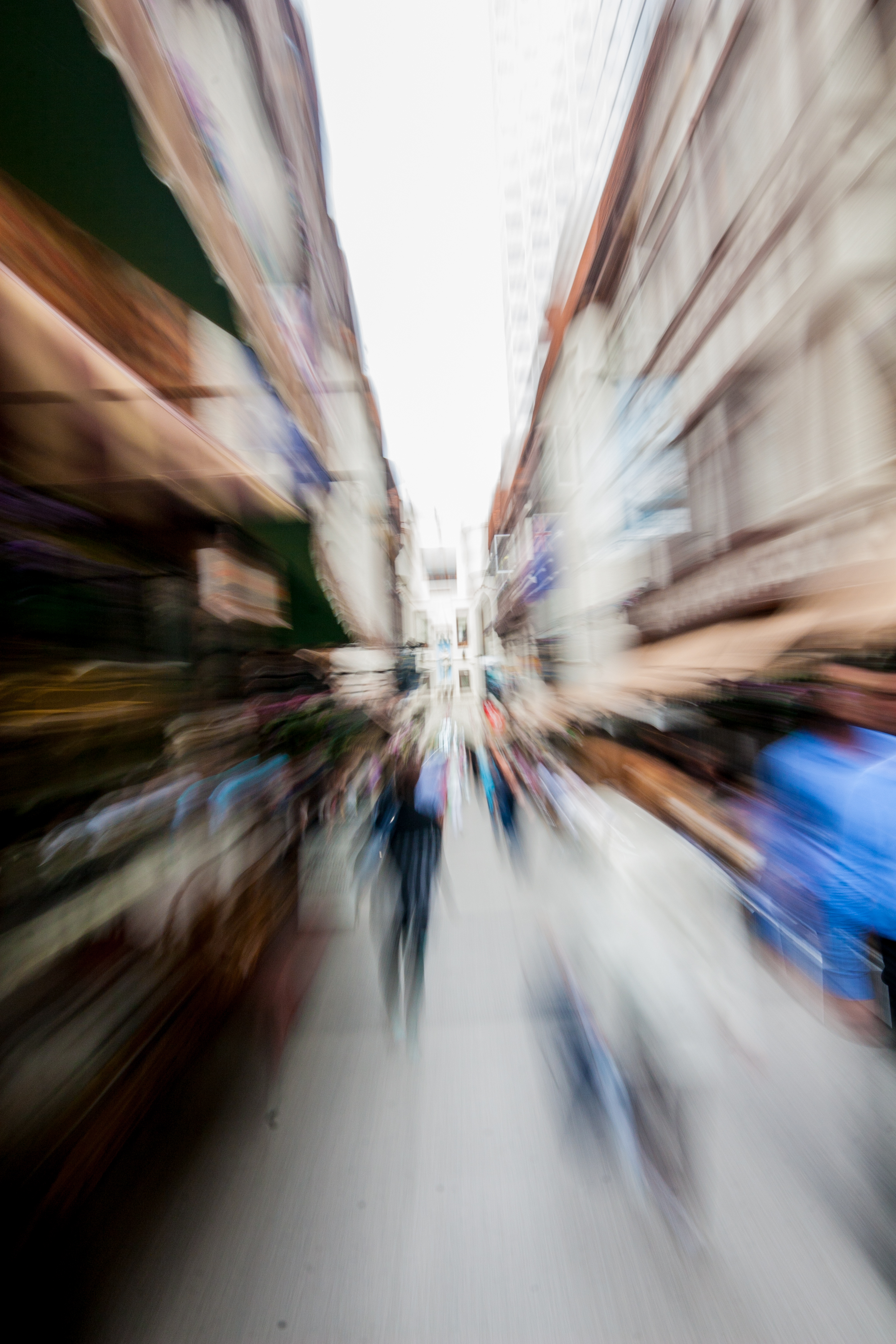
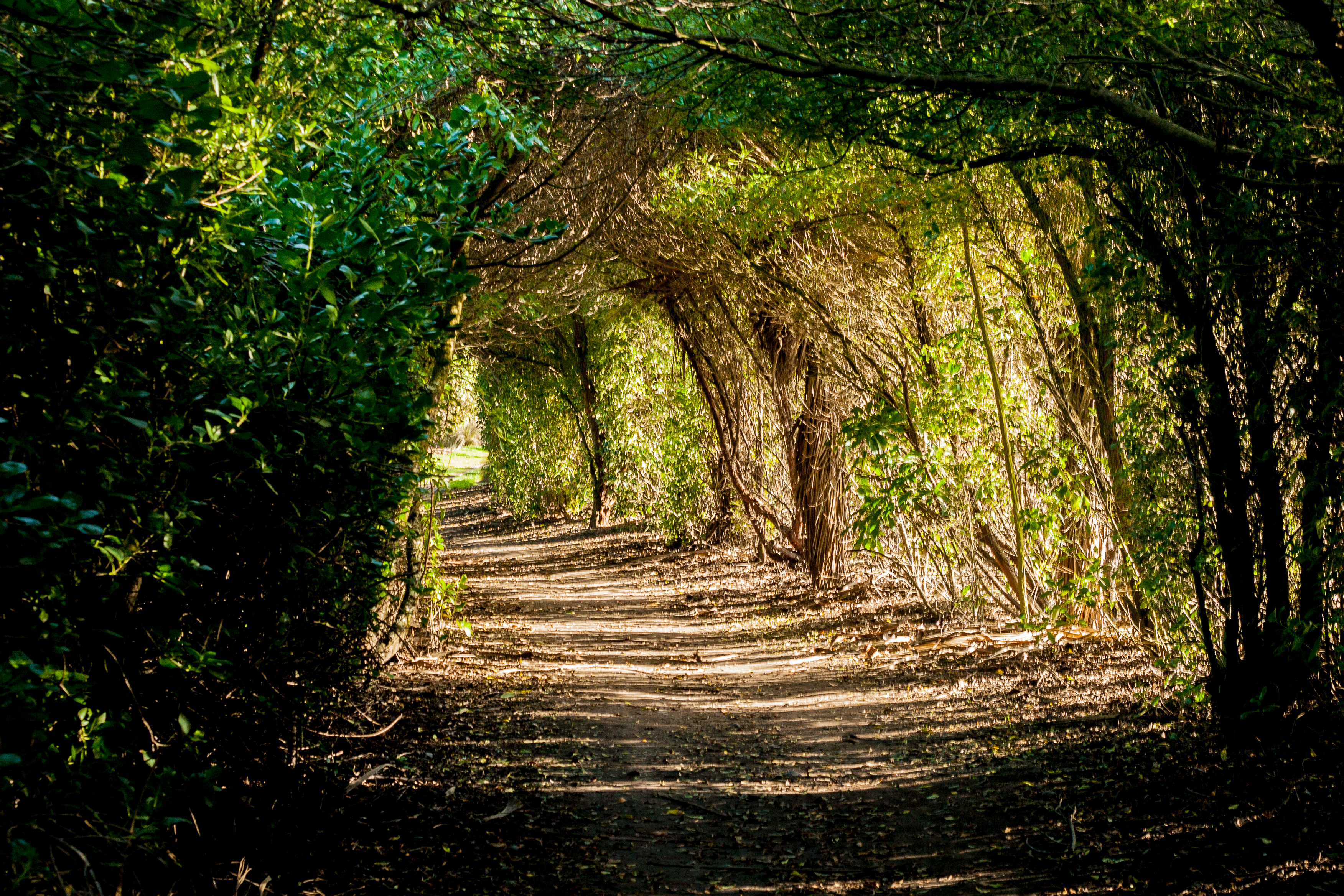
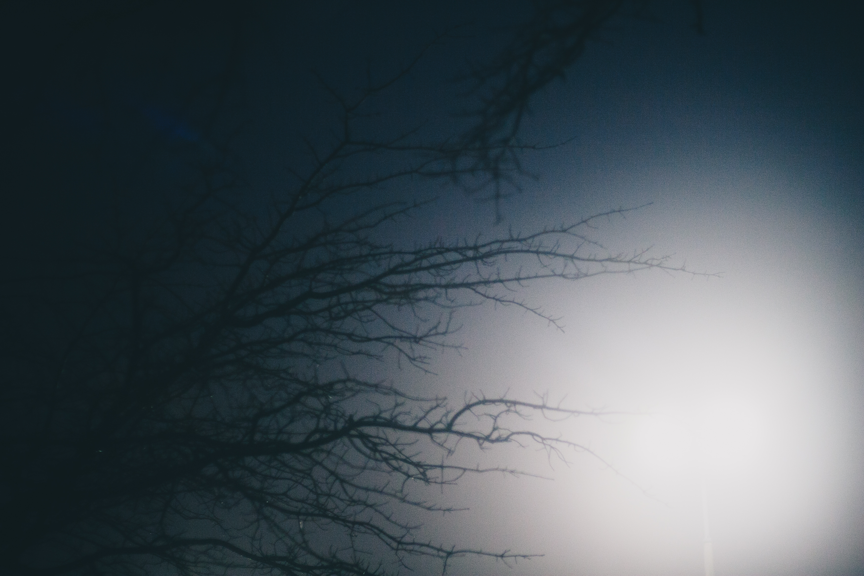
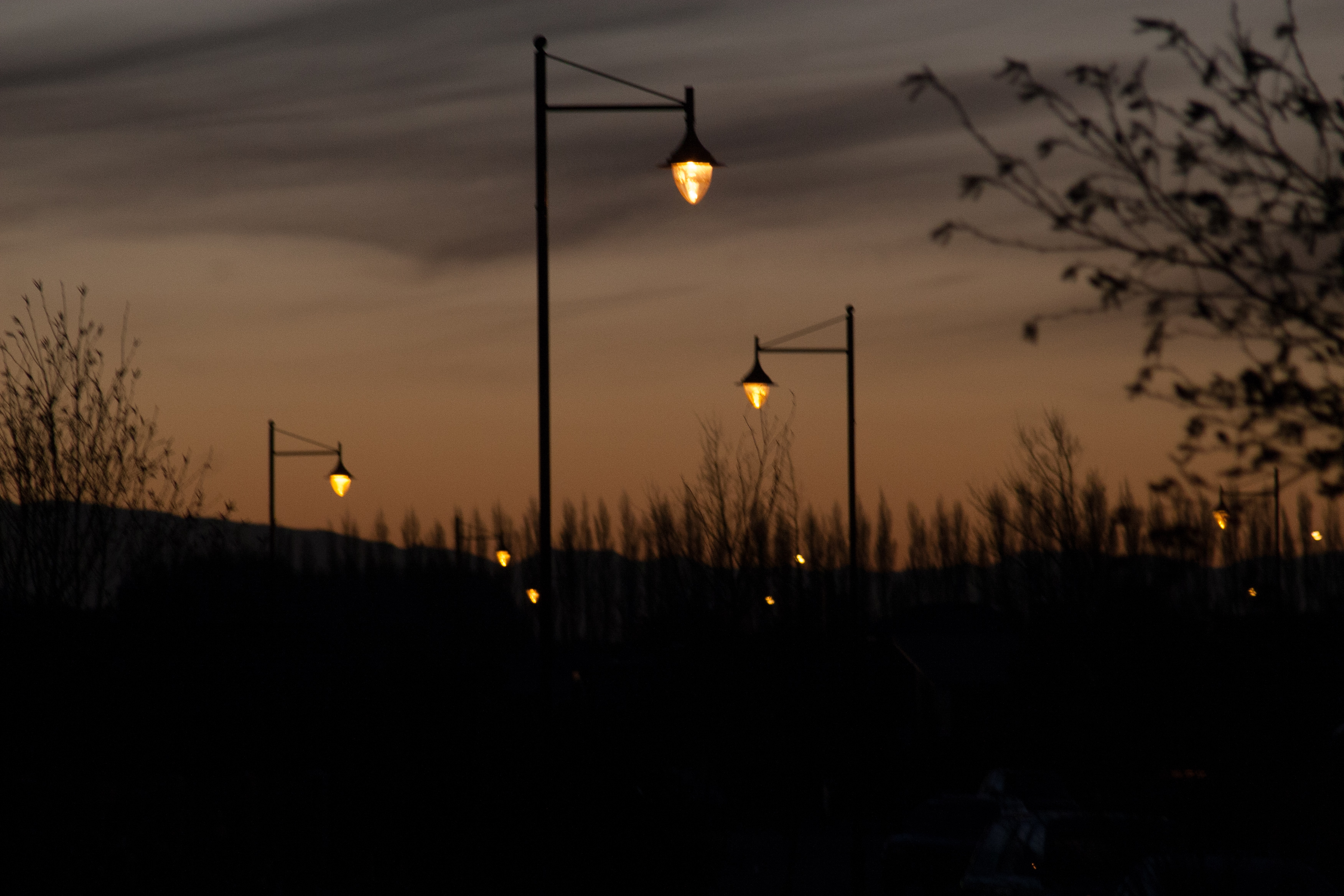
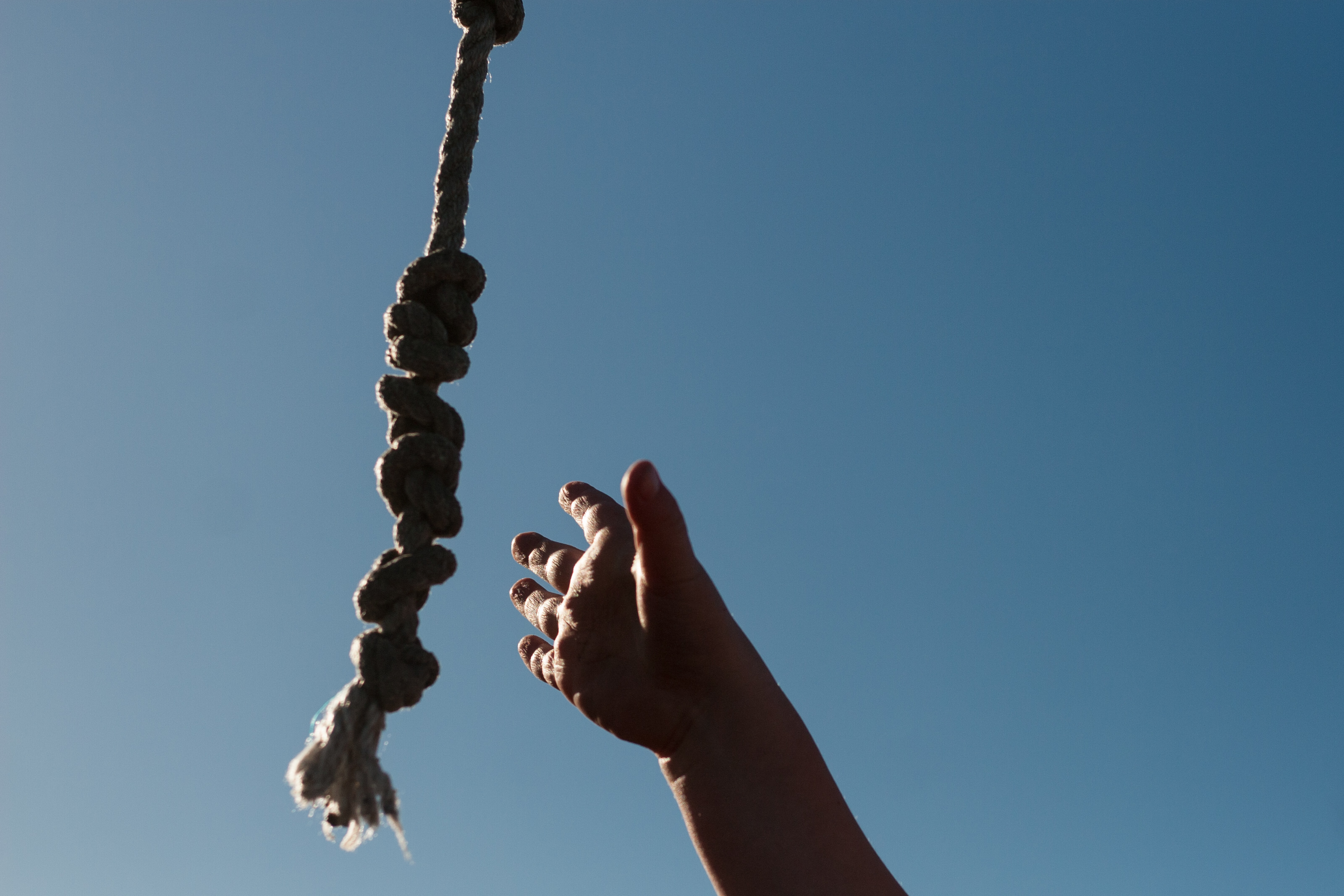
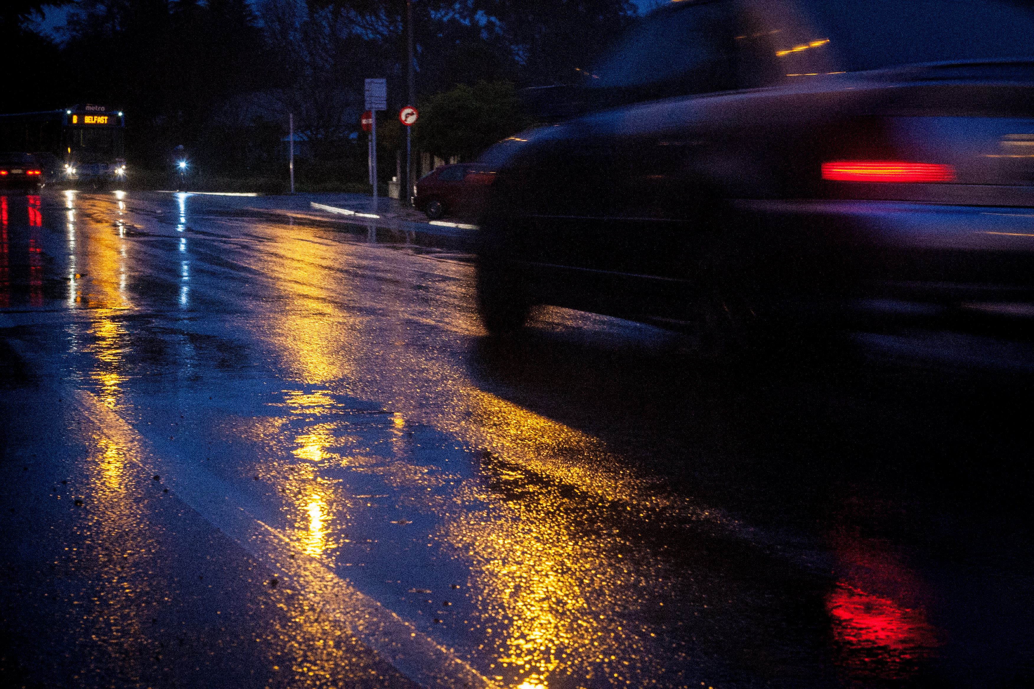
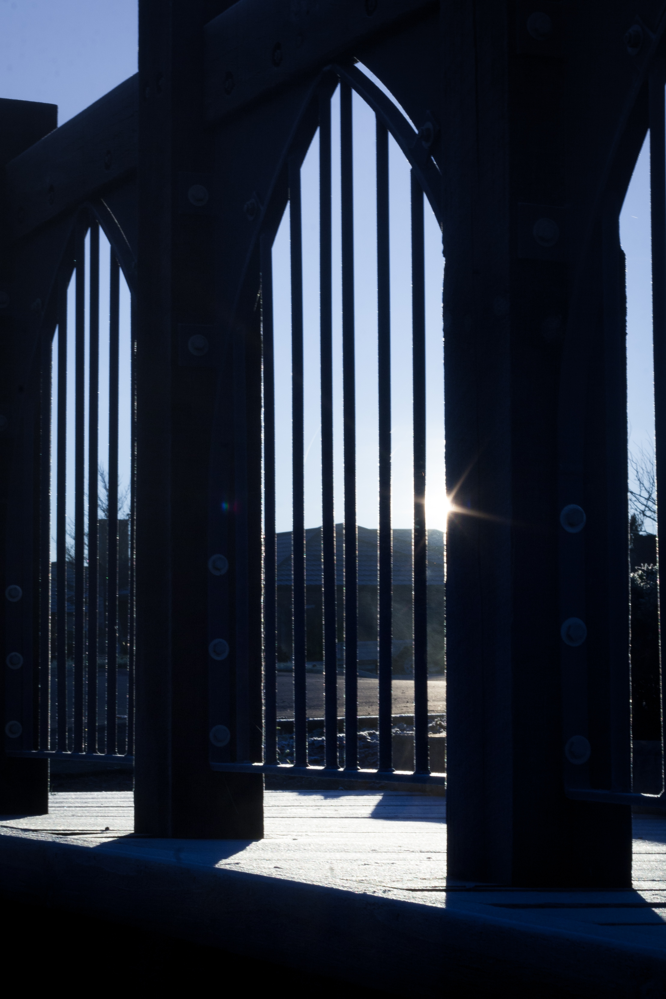
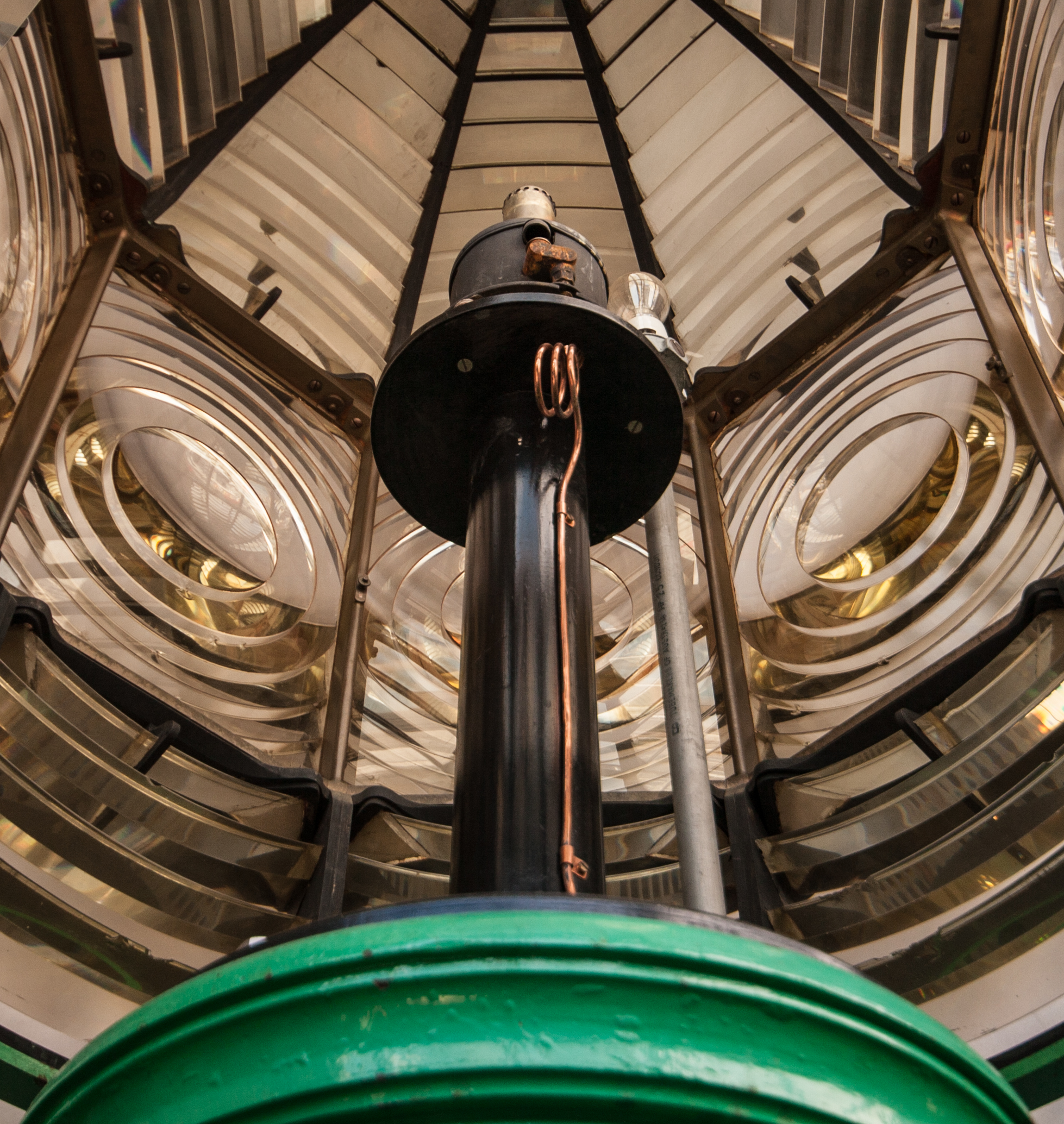
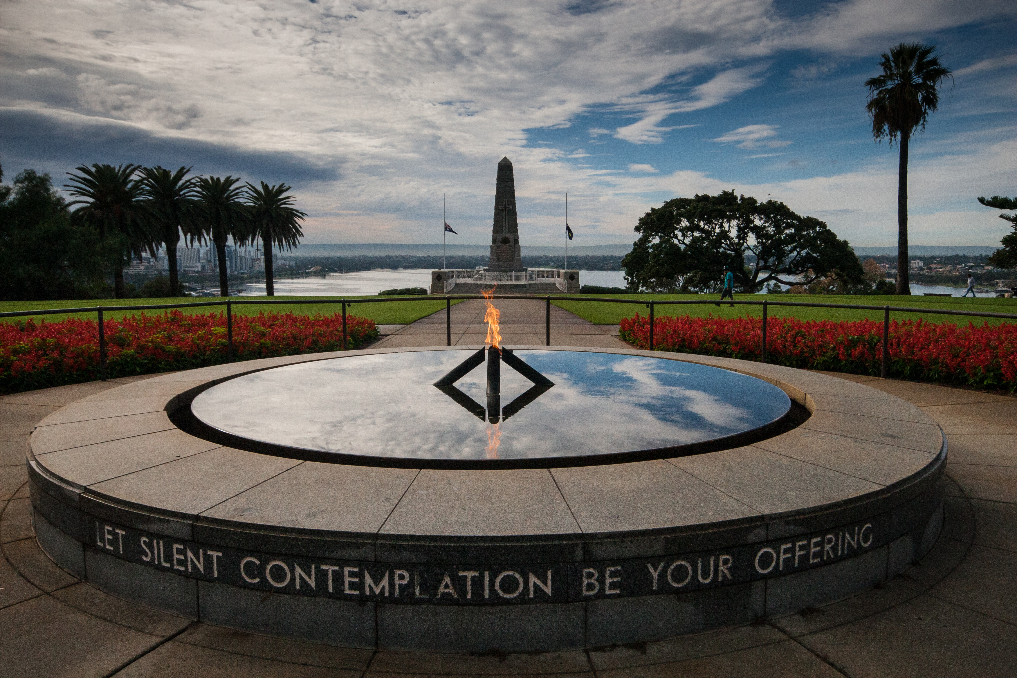
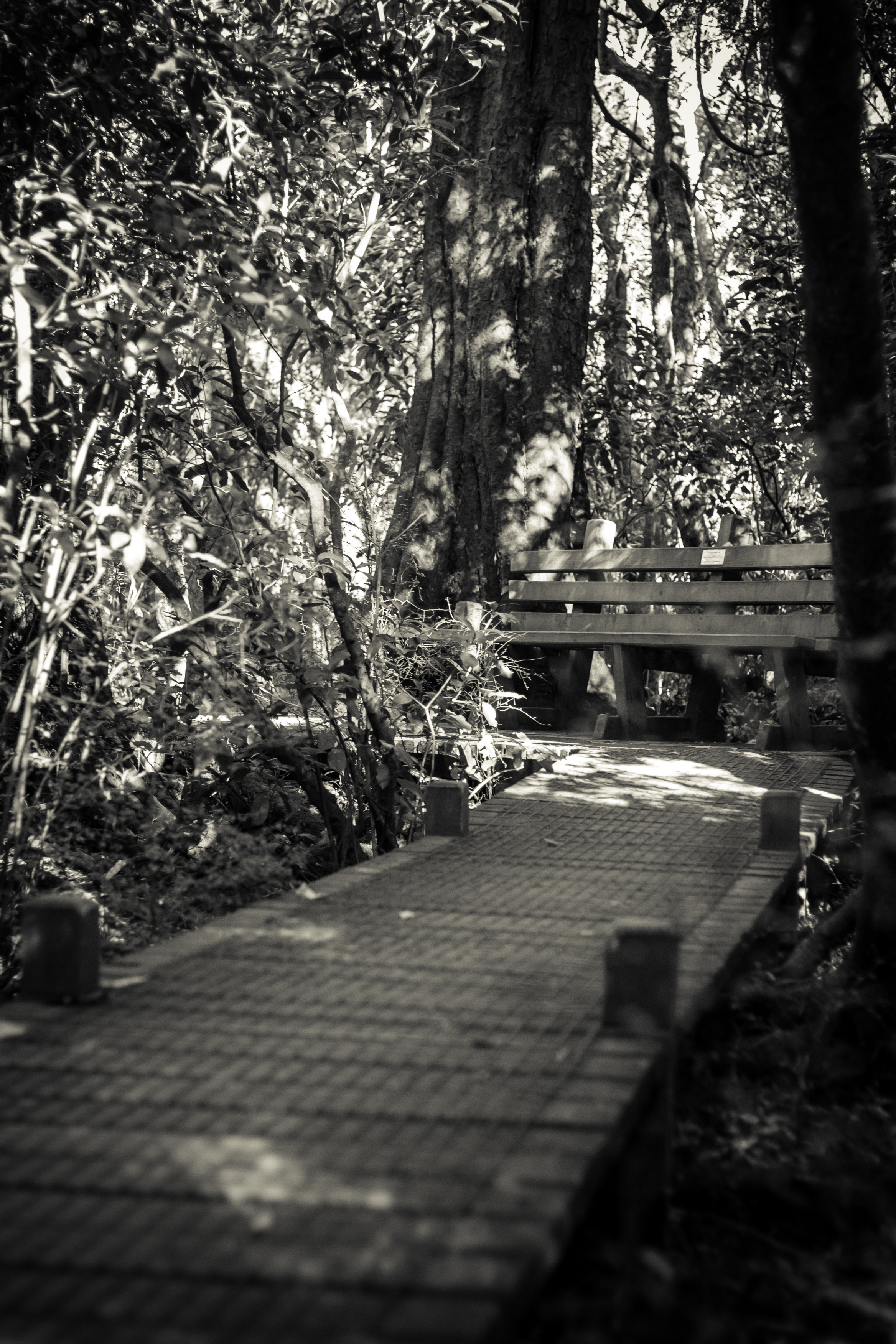
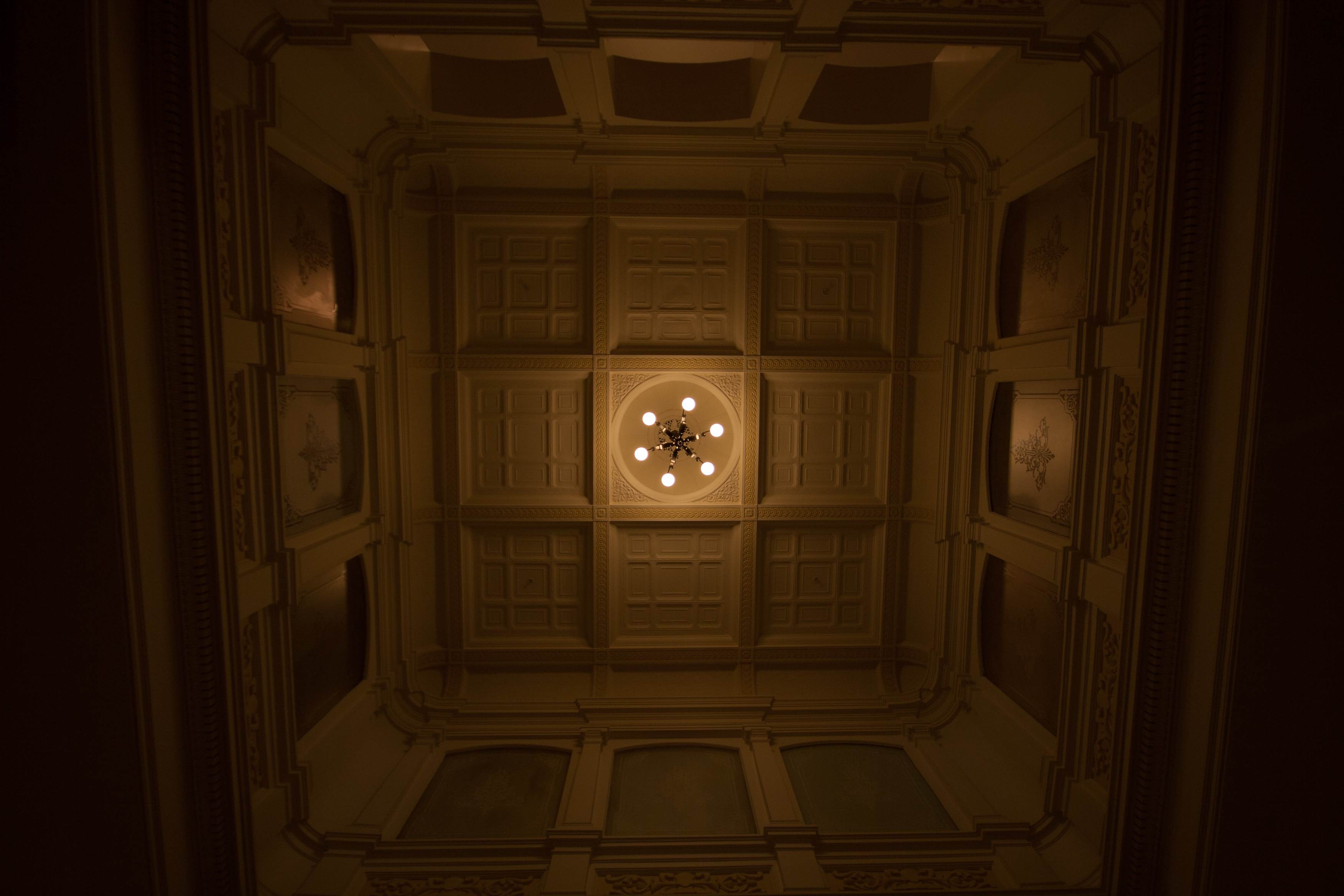
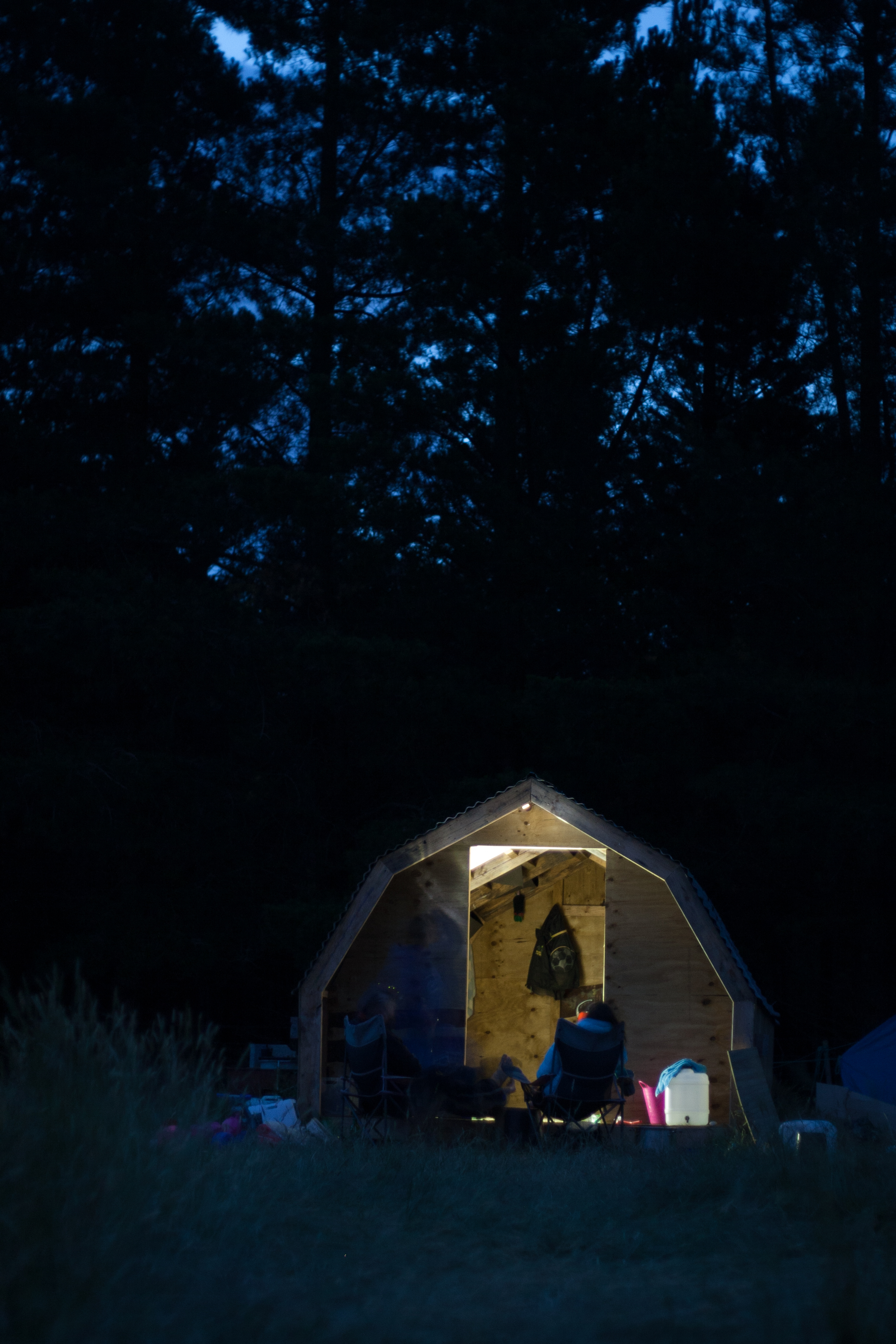
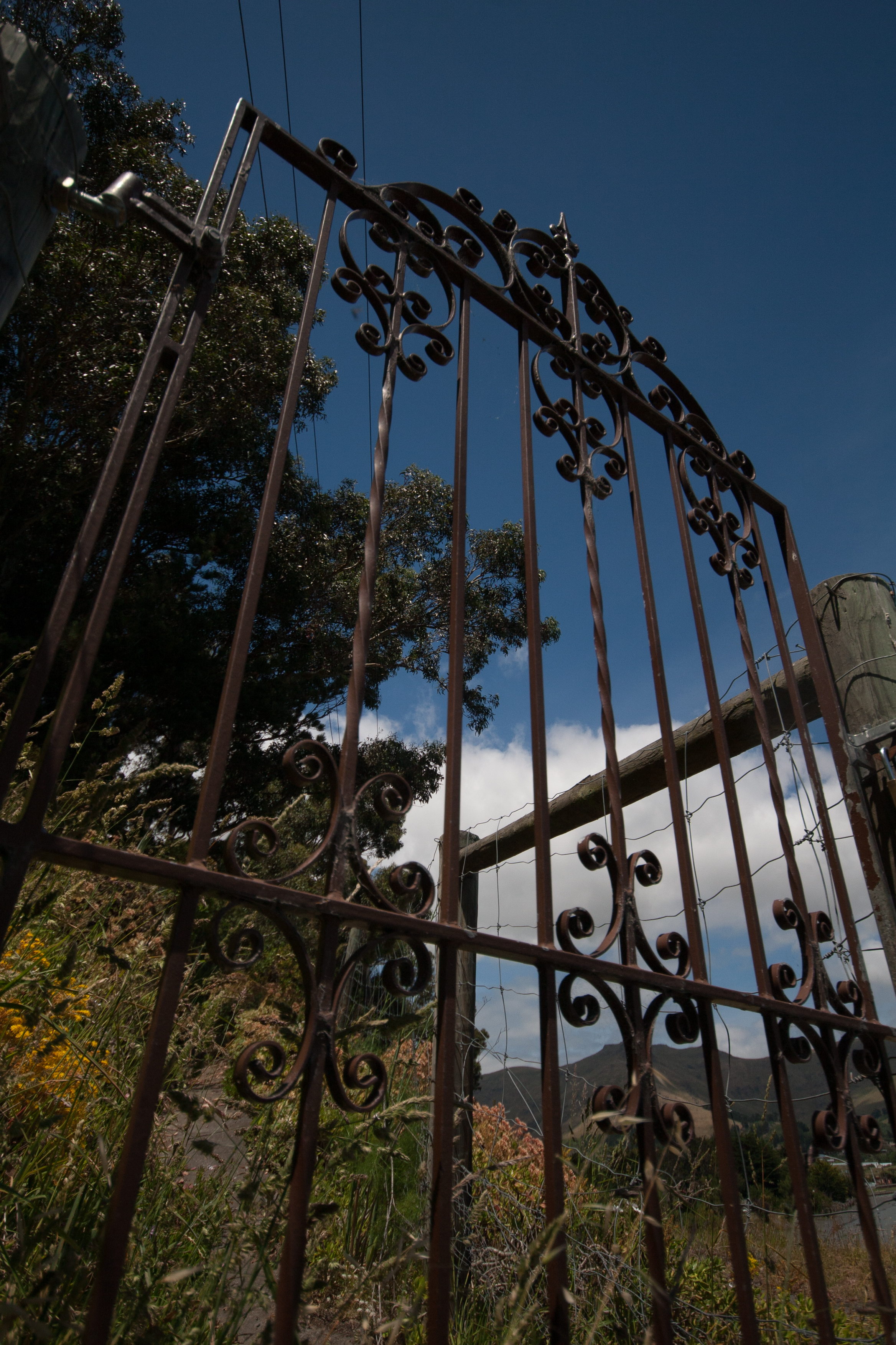
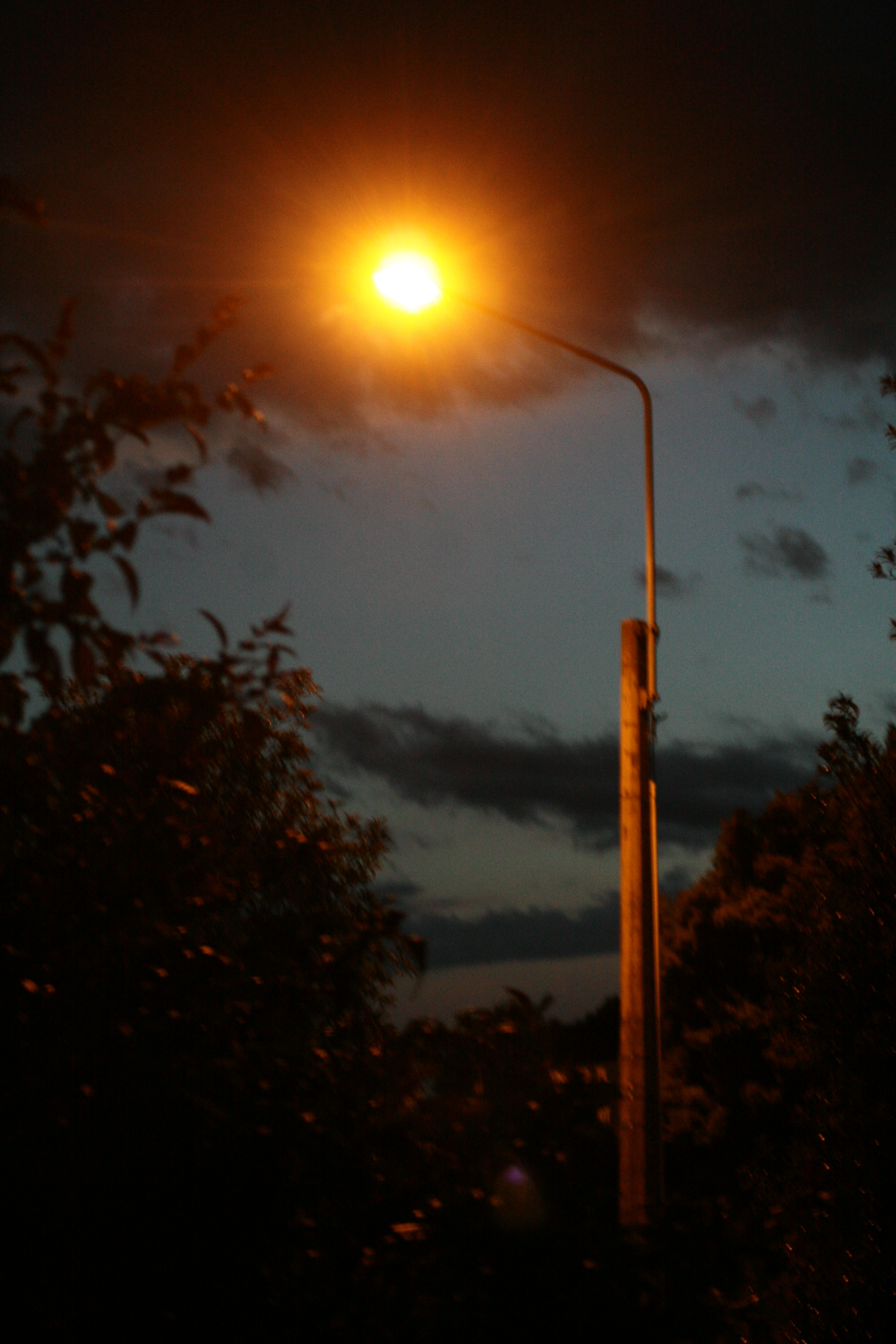
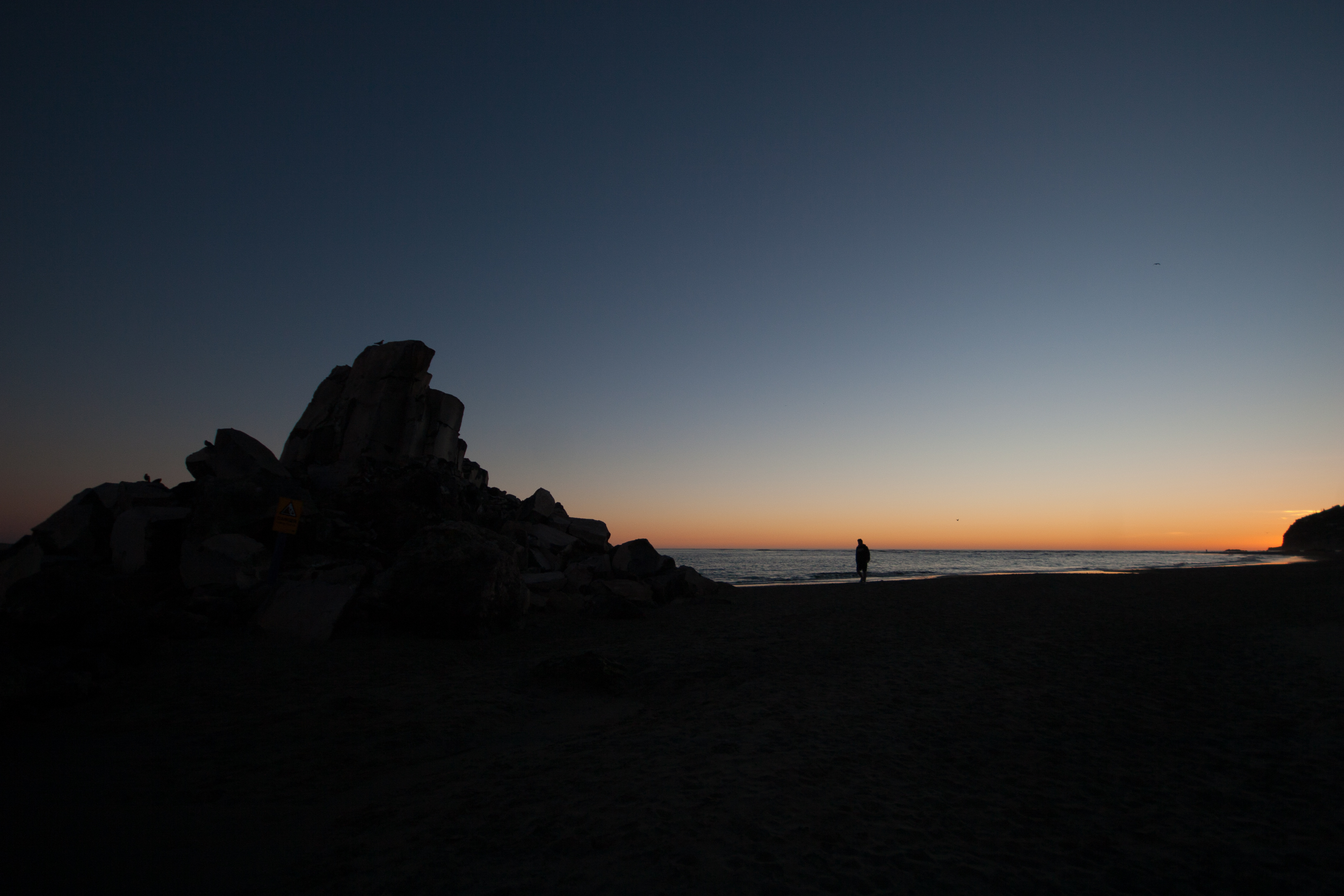
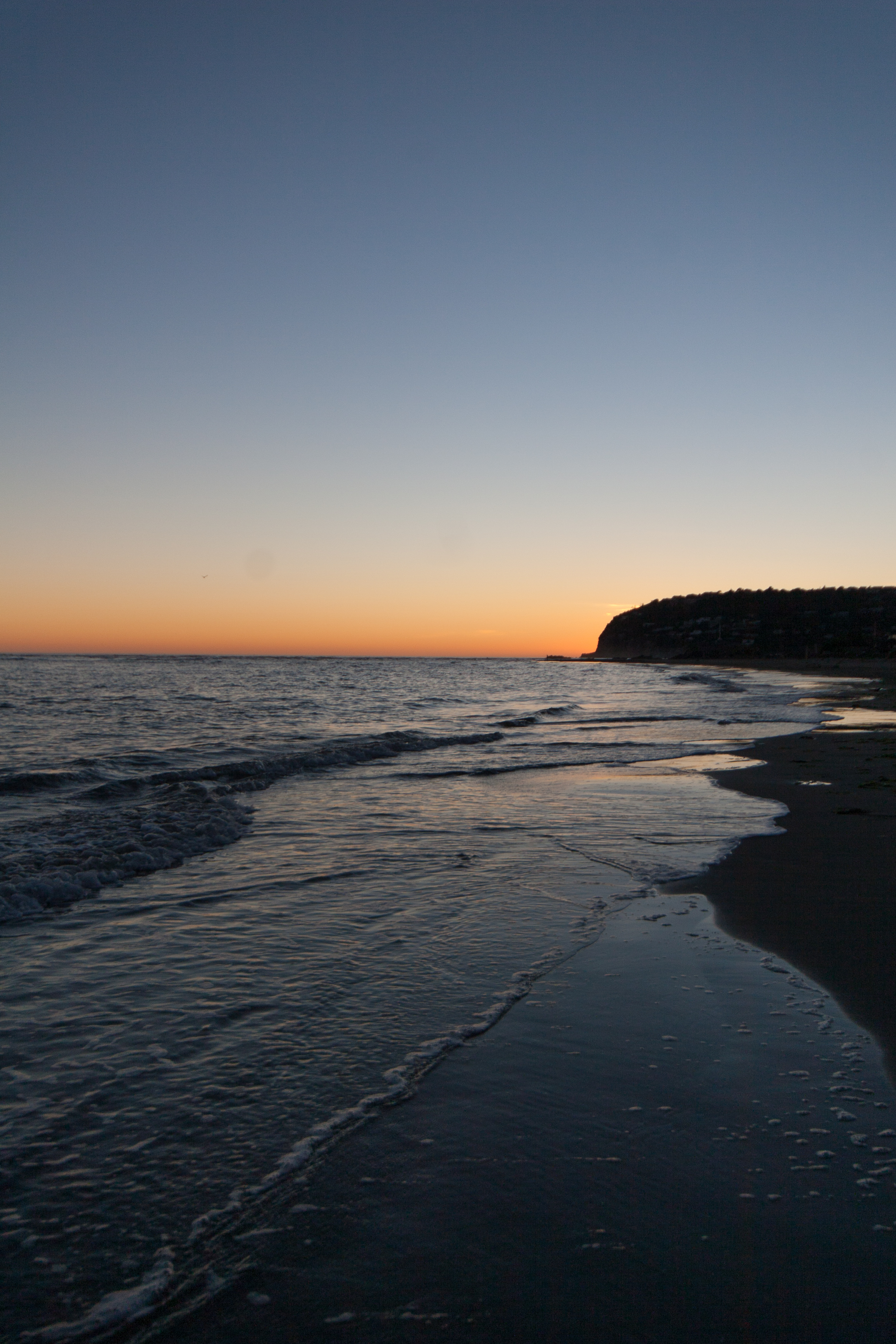
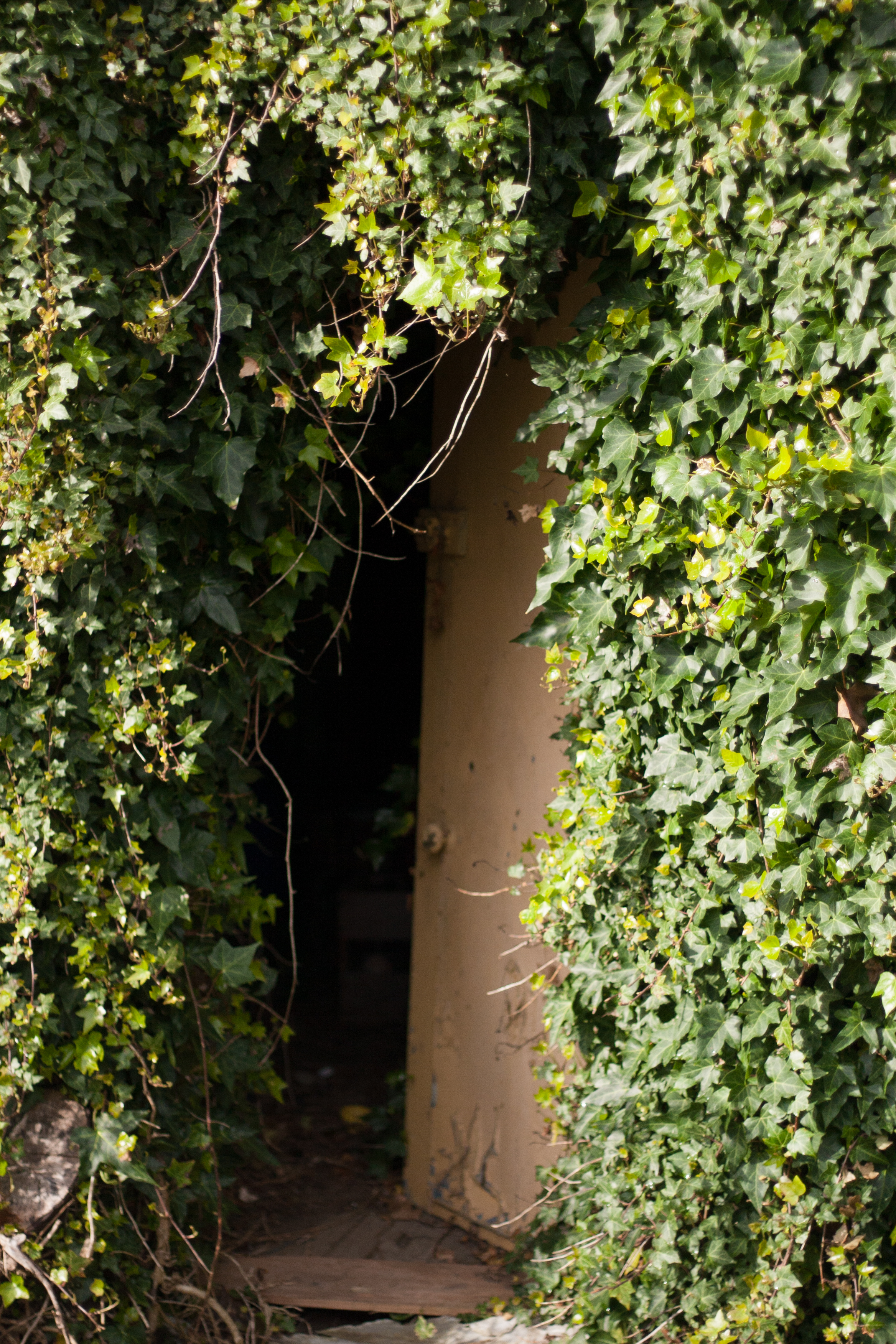
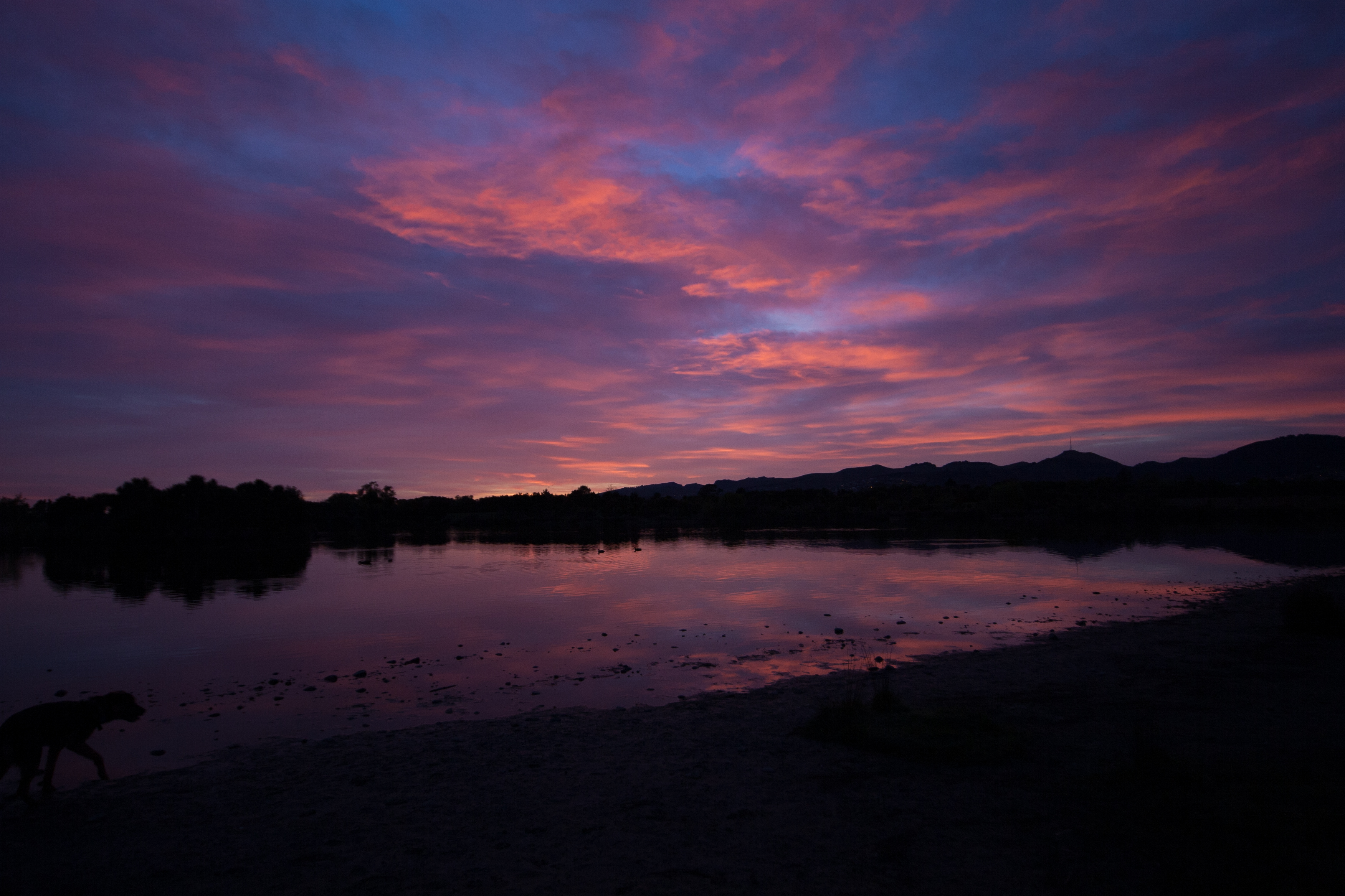
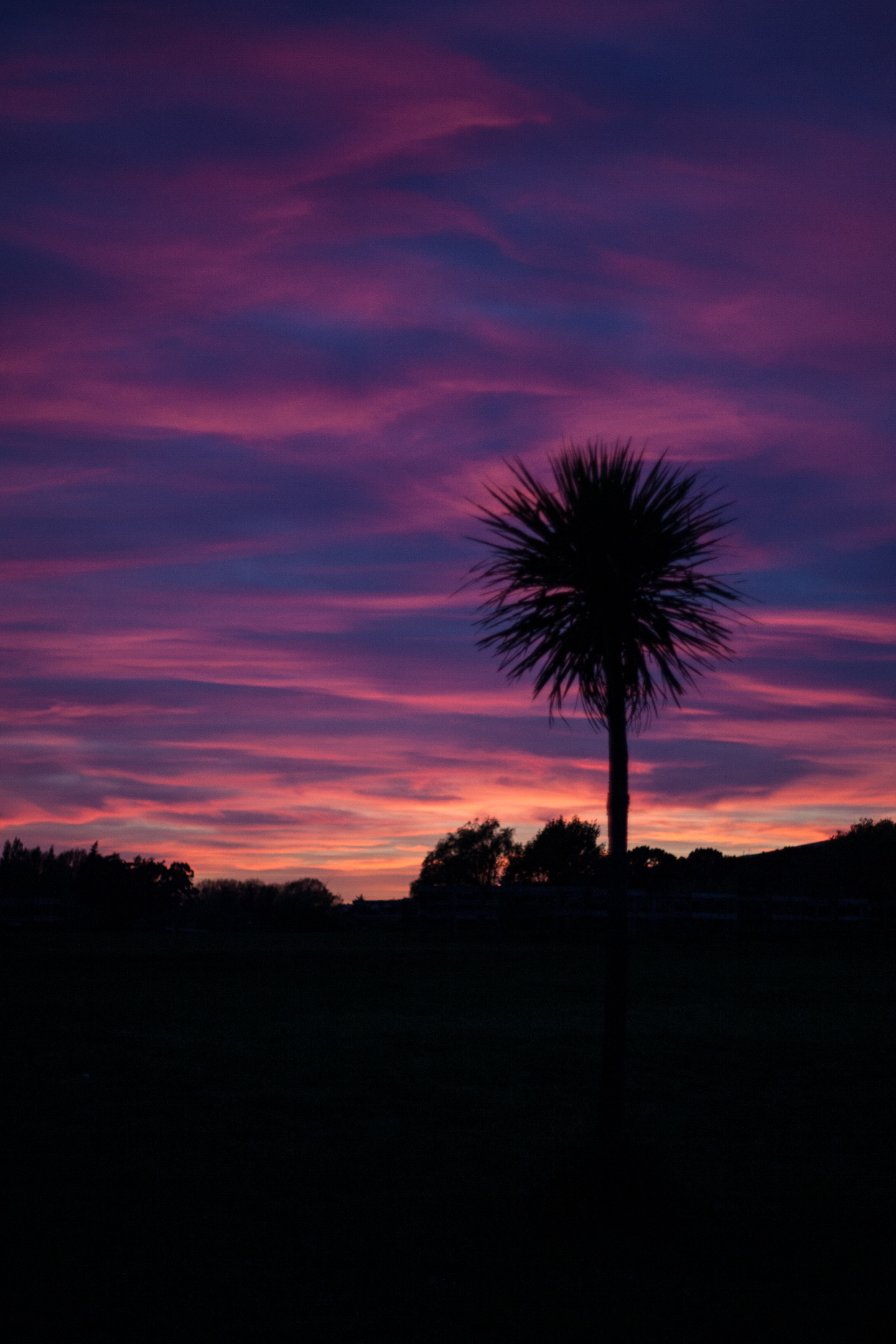
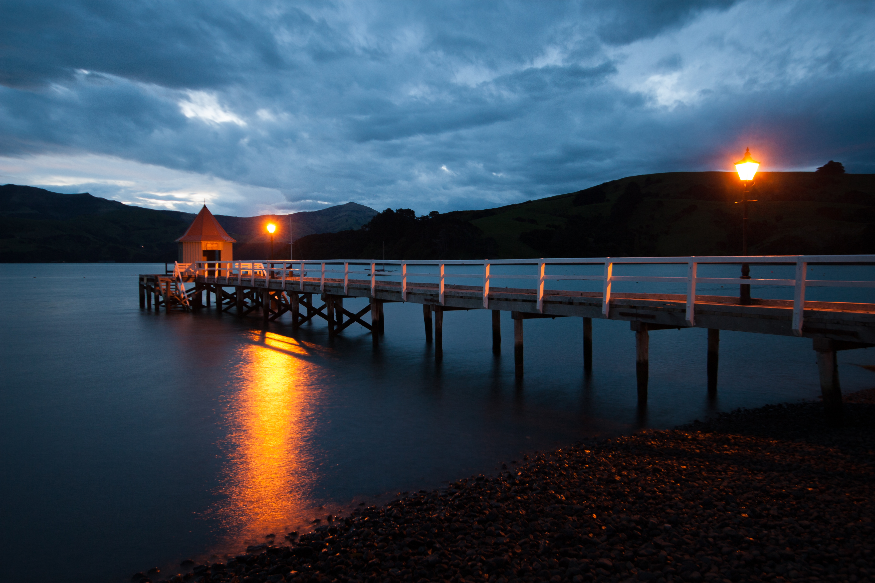
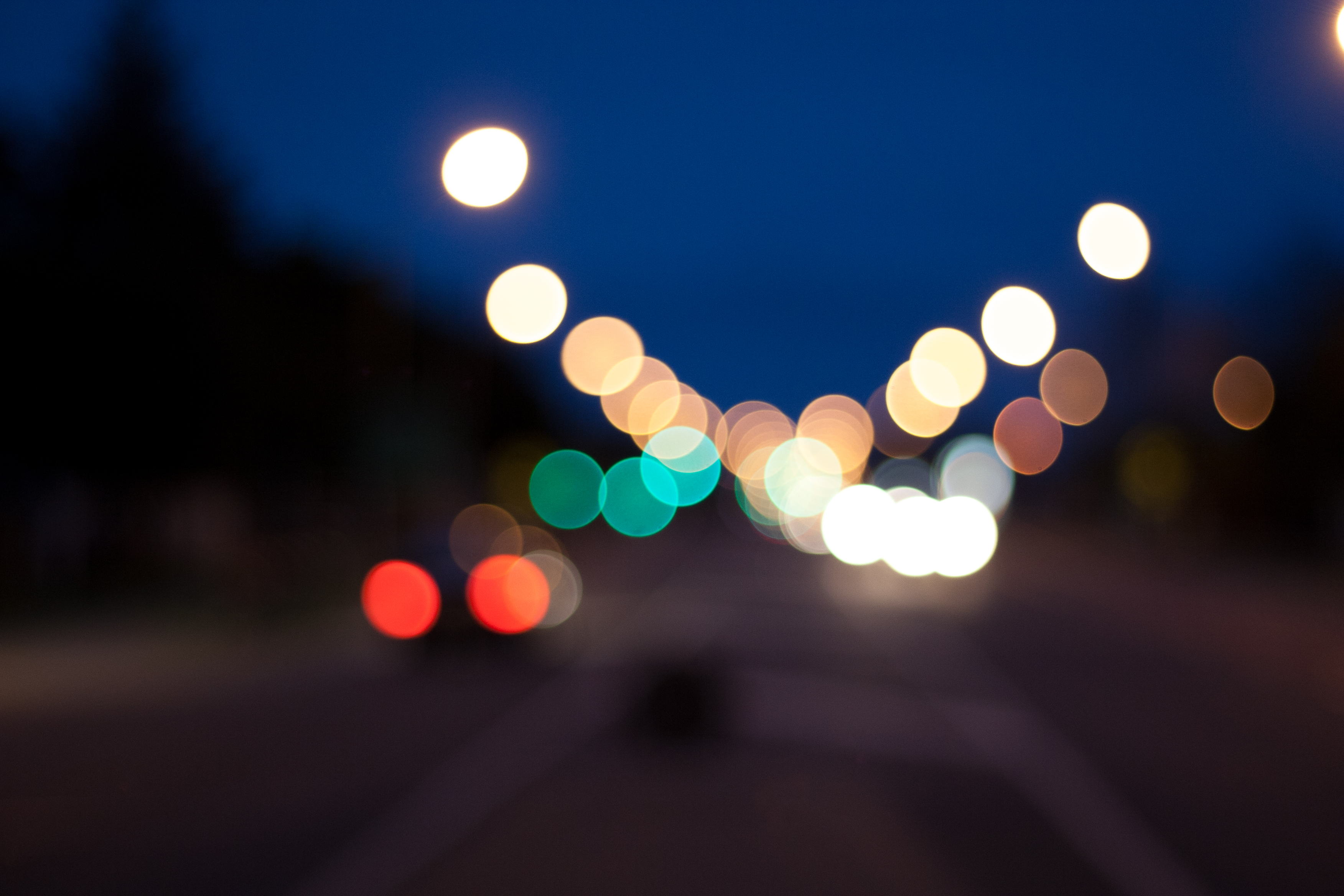
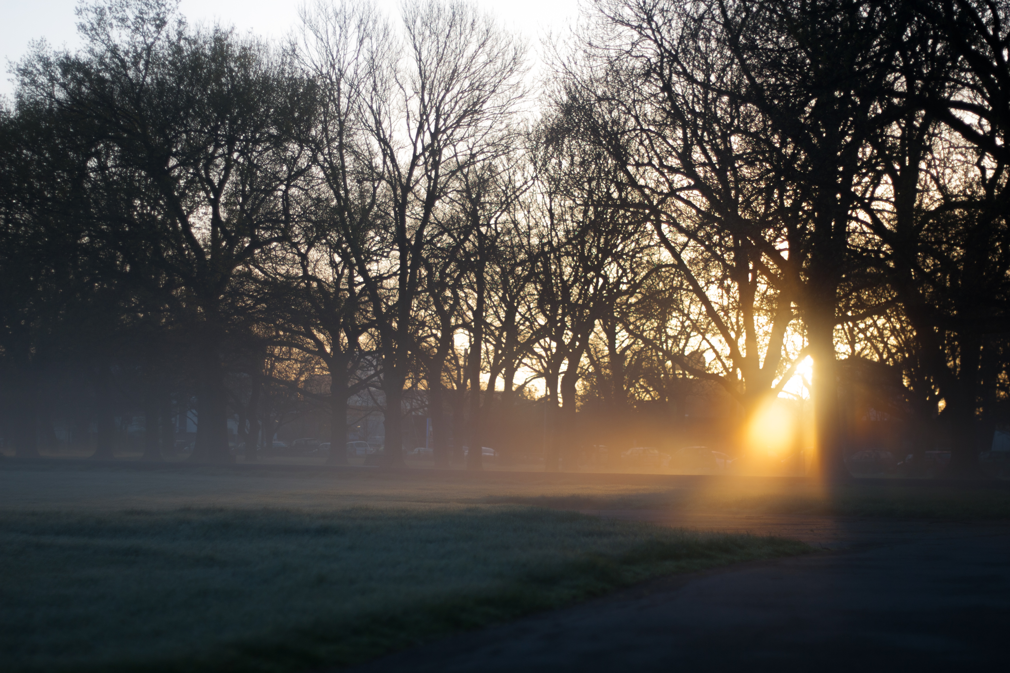
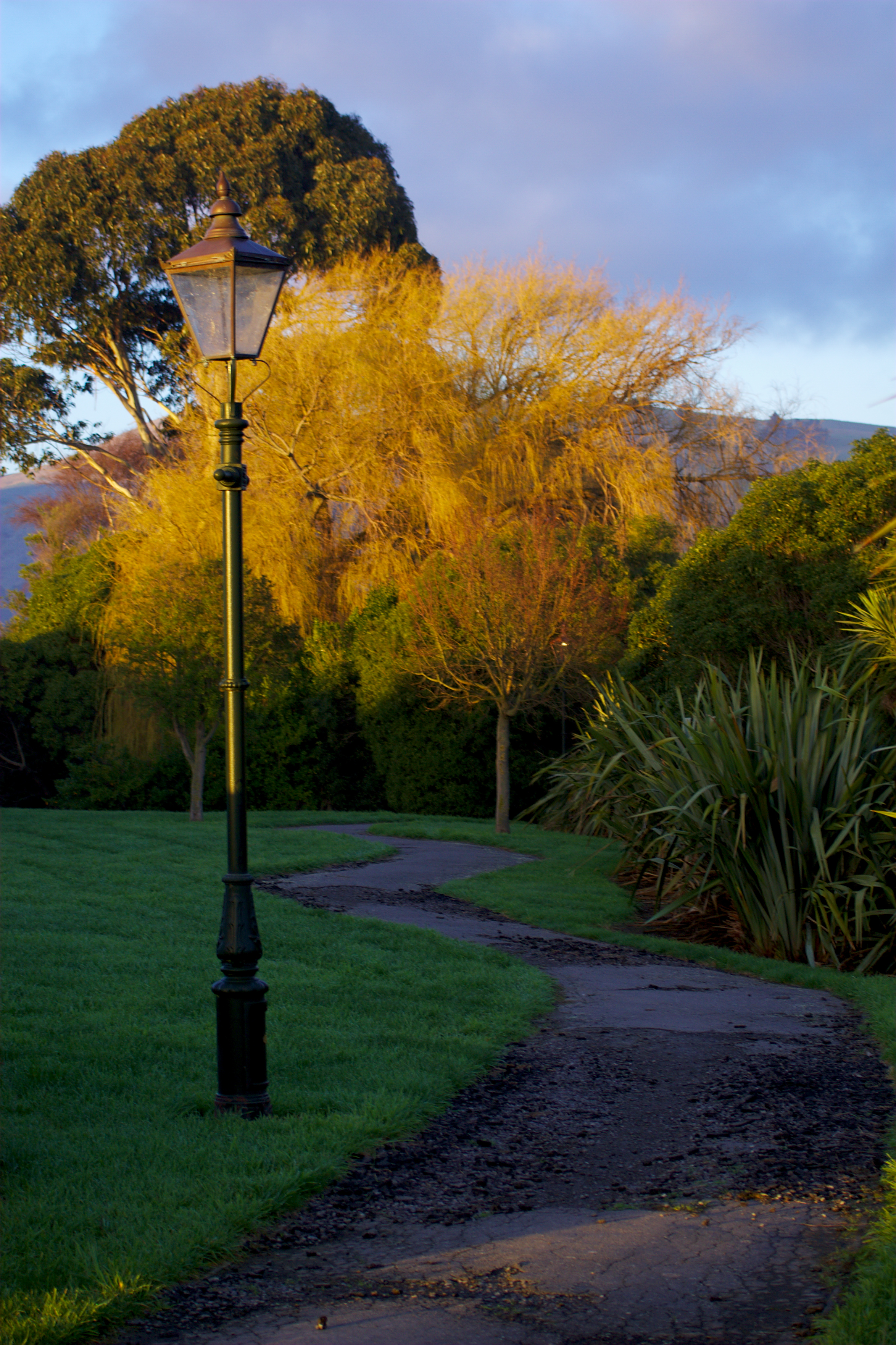
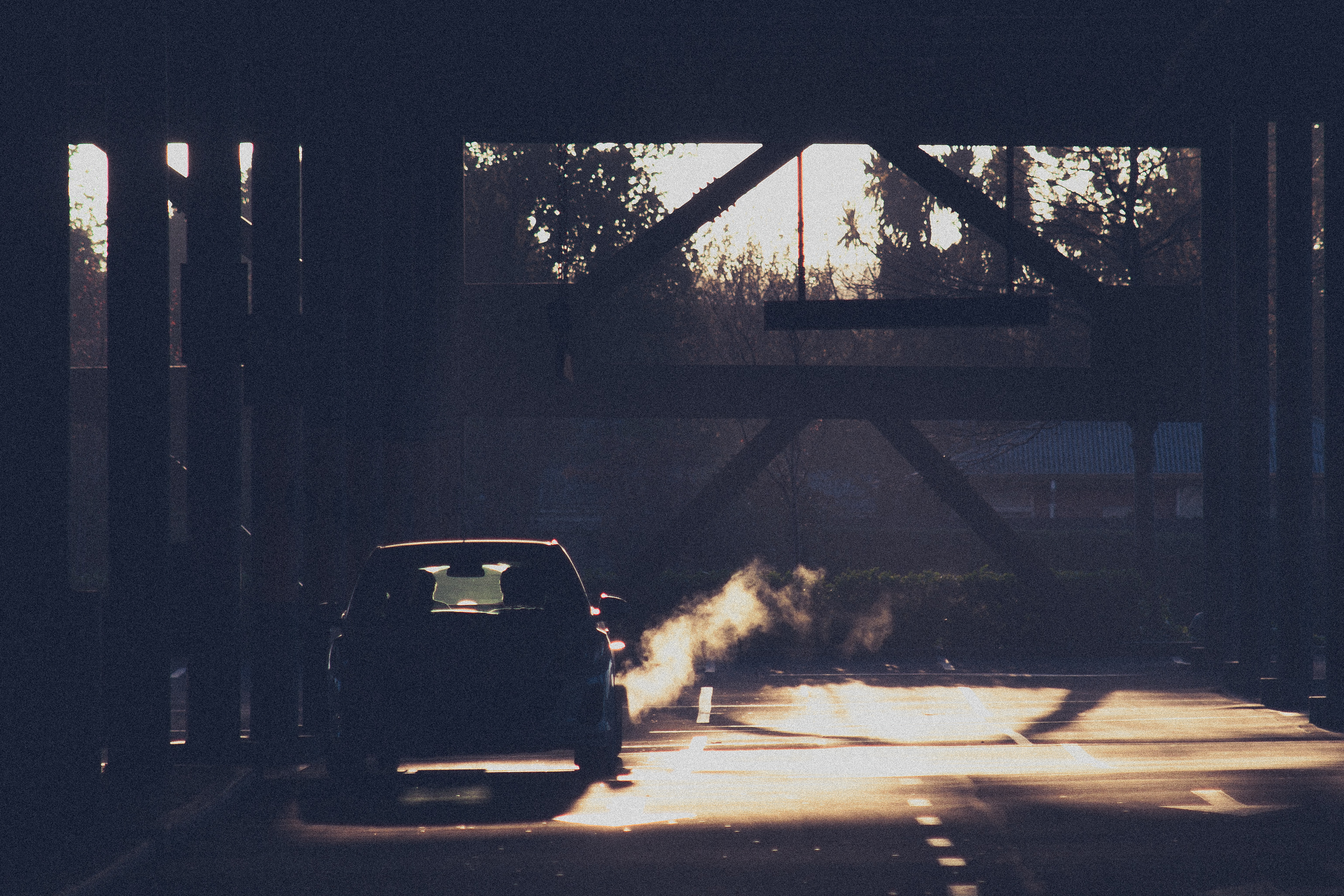
walking towards the light
Christchurch Streets Wireframe

Trying to break record for longest spiral of dominoes